Saturday, May 31, 2025

Ochoco Day 3-Some Painted Hills, and the Oasis of Mitchell


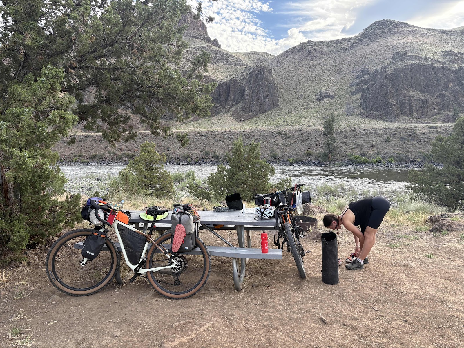
Wanda packed and ready to go from last night’s campsite along the John Day. 

I was ready to go a few minutes before the others, and I knew I would be walking up the first part of the hill, so I headed out just before 8:00. Makaela was not far behind me. 

Here she is! 

Since it was heating up already, Makaela and I rolled down the road to some shade to wait for Ginny and Deb. 

I thought this was a cool cloud formation. 

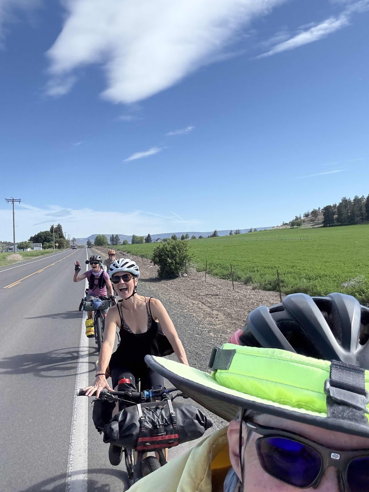
Once we were all together, we headed on the route, stopping to take a group selfie. 

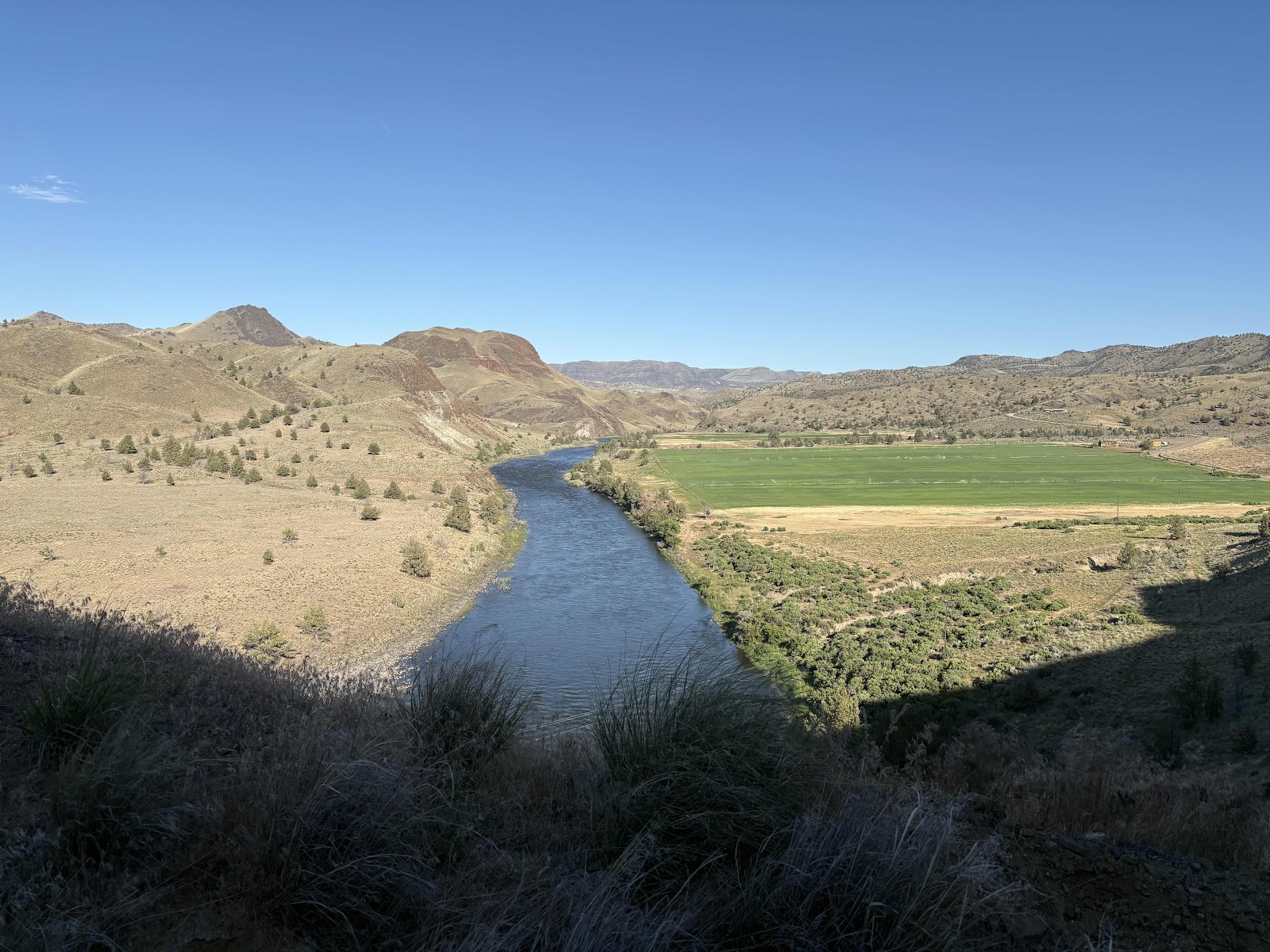
I was trying to get the river in the background. Not so successful. 

Continuing on…

There’s the river!

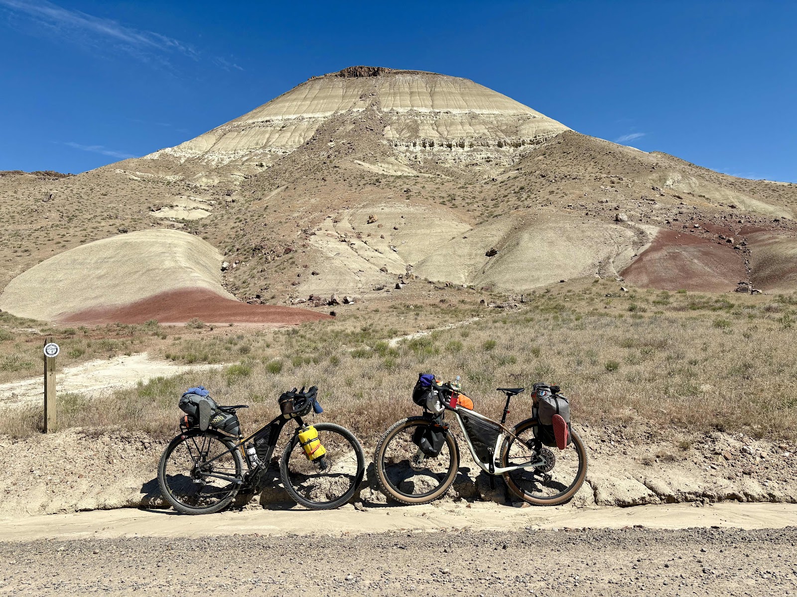
Thankfully, today was a shorter day, just 27.5 miles. That included a side trip to the Painted Hills National Monument. I’ve never been there, only seen photos. On the way I saw these two antelope. 


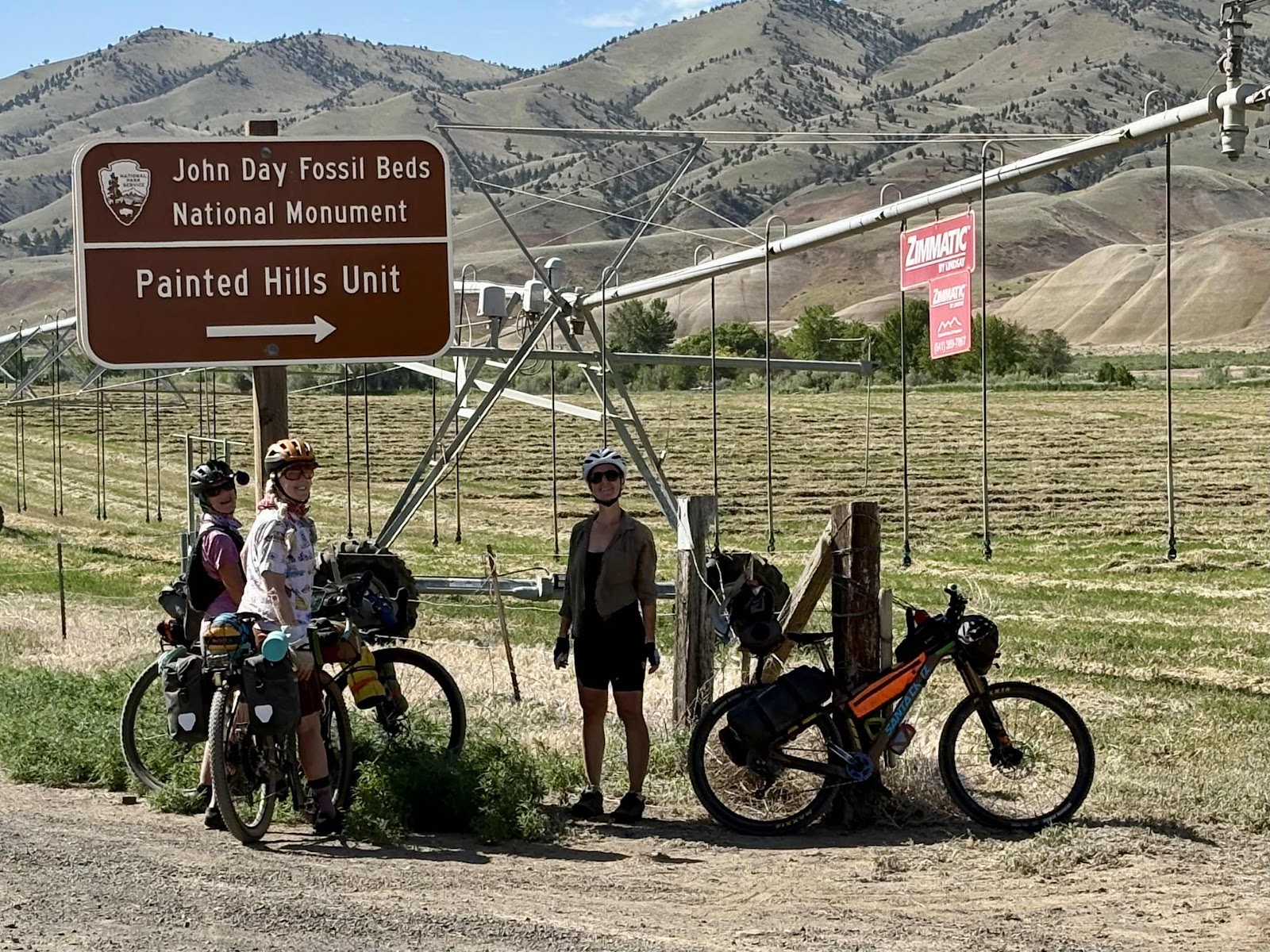
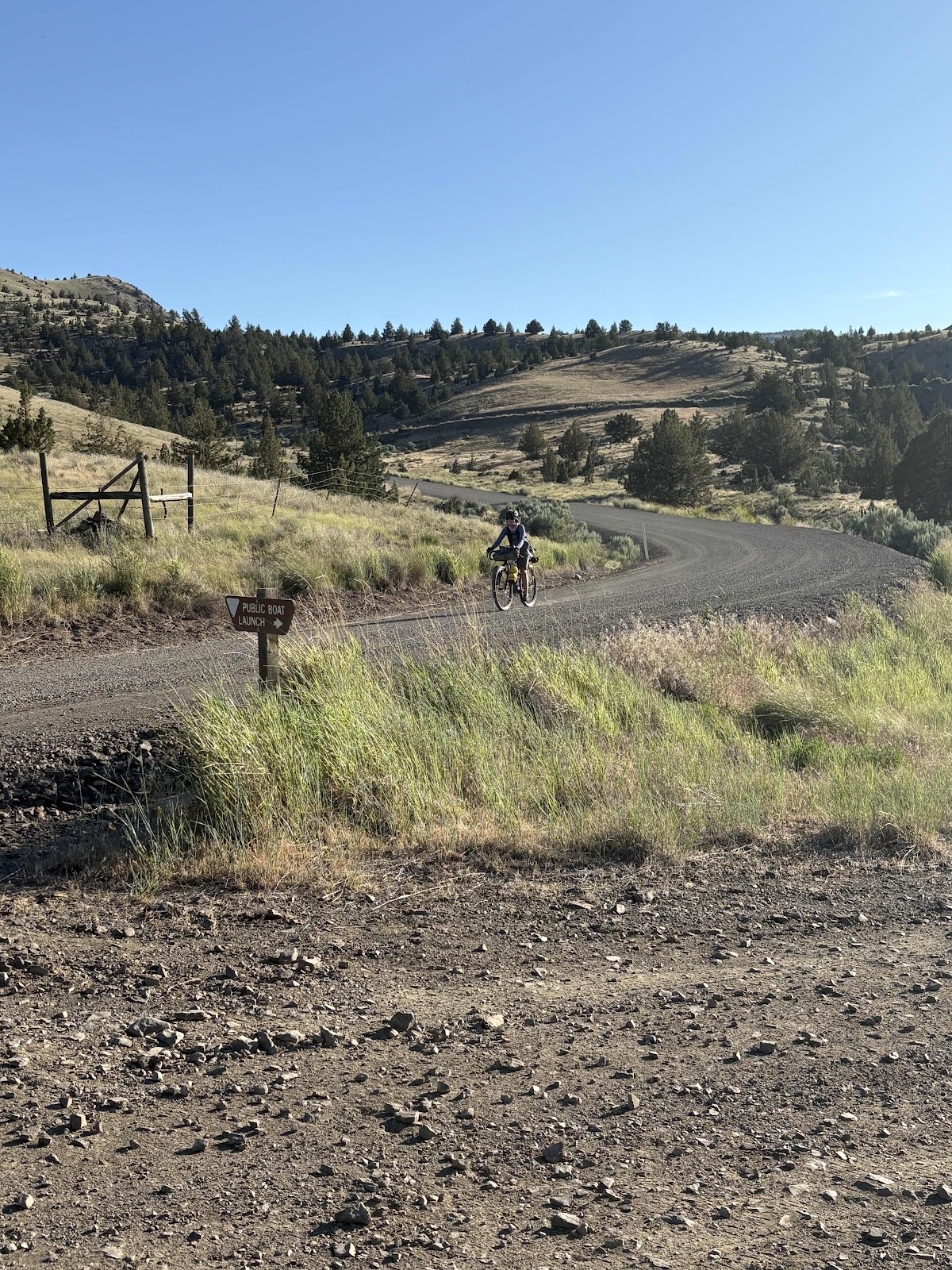
The turn to the monument. 

We had a little over a mile to the overlook. We were seeing views of the hills along the way. 

Here’s a number of photos from the Overlook. 
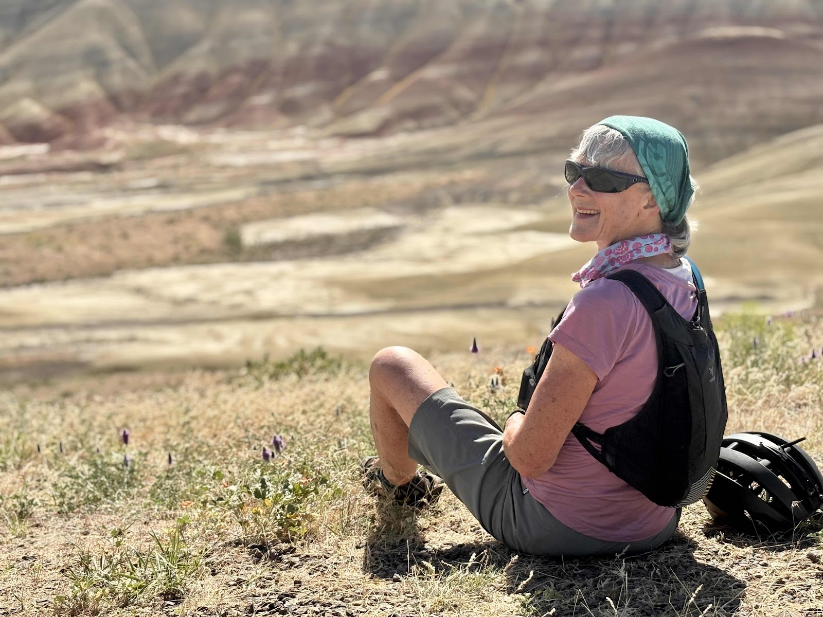
Wanda, of course!

Pano of the Hills

Pano from the other side. 

Ginny!

Wild flowers and Hills. 

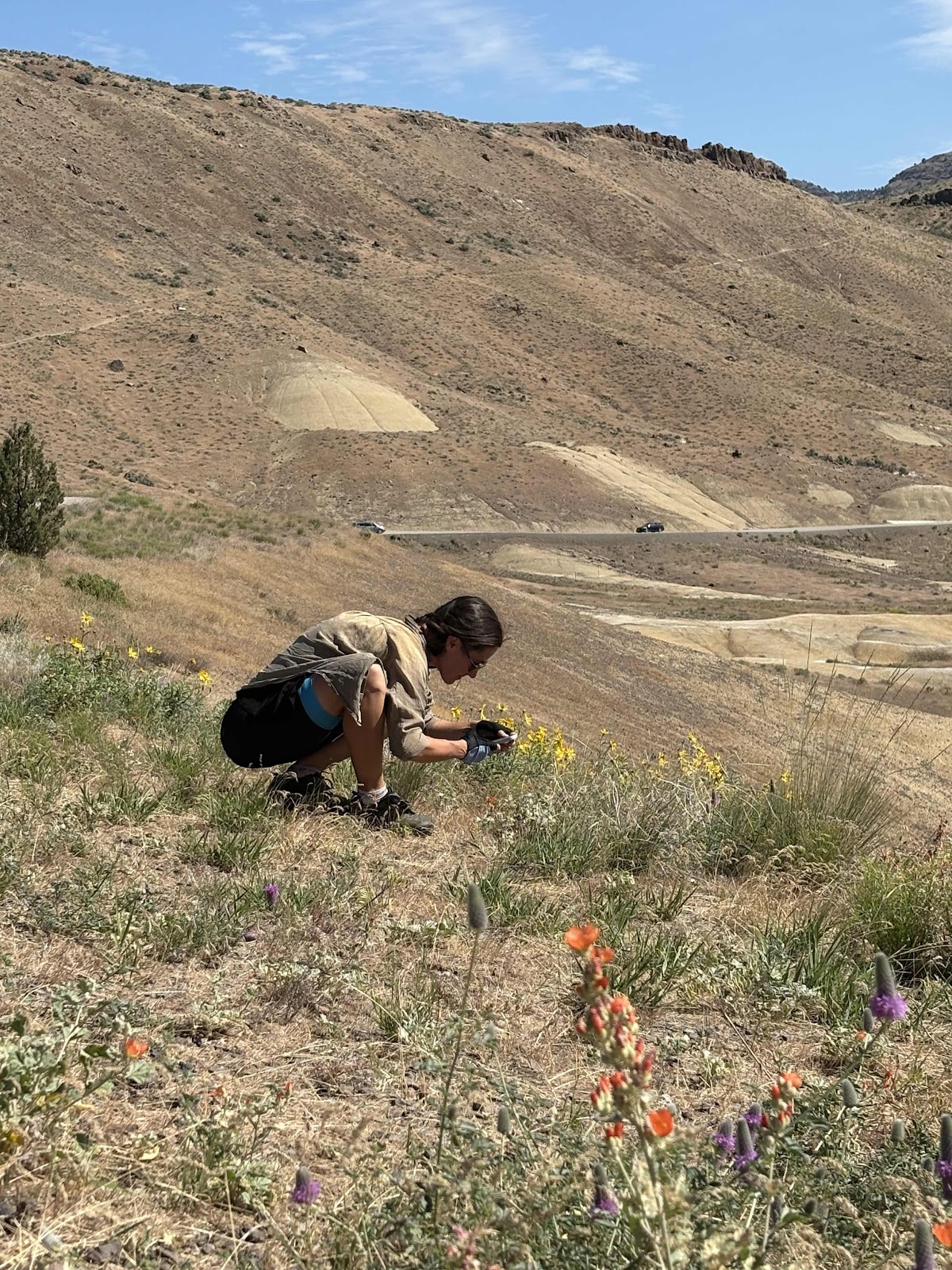
Makaela taking flower photos. 
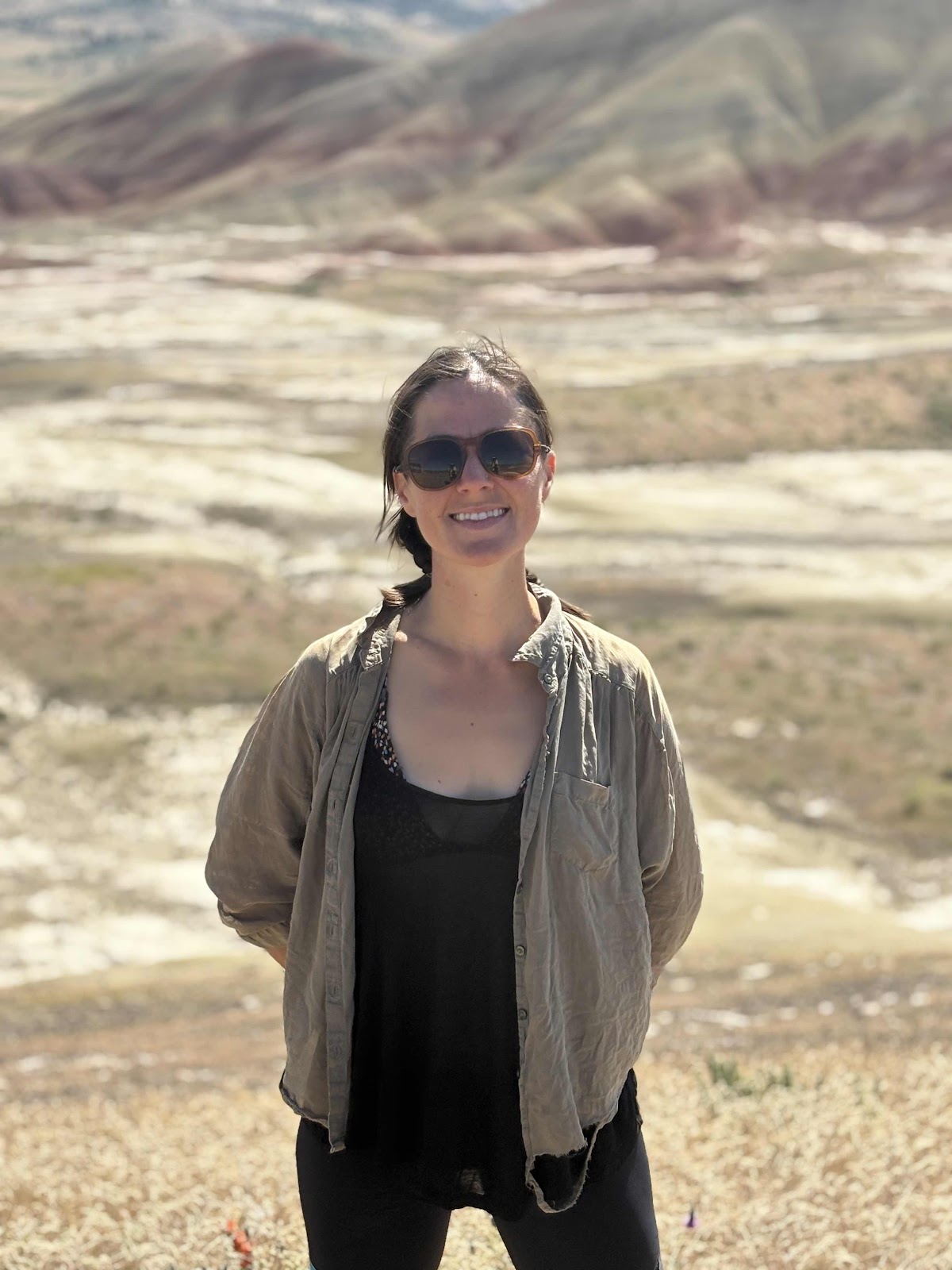
My Makaela!

Deb!

Oh…and me. 

After doing all the Overlook things (not hiking the trail though), we headed back. The route had us going further out, but what we could see didn’t seem to be much more than what we saw from the Overlook. I did stop on the way down to take an up close photo of a white hill. 


This info tells about the difference between the red and white soils. 

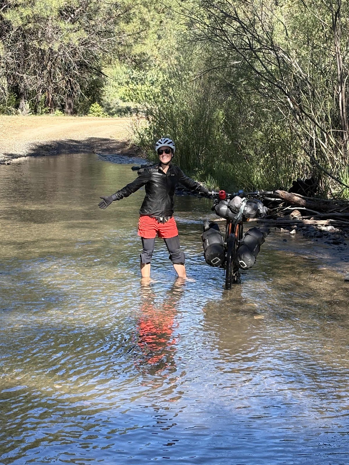
At the bottom of the descent back, I saw Ginny propping Bumble Bee to take a photo. Since we both have Cutthroats, we decided we must do a photo together. 

Nose to nose Salsa Cutthroats!

Owner selfie!

From the turn to the Monument on into Mitchell, we were on pavement. There was one mile long climb, then we came to the Ochoco Hwy. The sign said 4 miles to Mitchell. But wait…when I did this with Derik (the Ochoco Overlander Modified), there was a 10 mile climb BEFORE the turn to Mitchell. I was confused. But, hey, that’s okay, I didn’t mind not doing that! 

It was an uphill climb to Mitchell, but only 4 miles. 

Deb now entering Mitchell!

Just before Main St. Hwy 207 came into the Ochoco Hwy. it was then I remembered Derik and I had come in that way. So, I’ve learned that the Modified version is more different than just the Mc Kay Rd part from Prineville. 

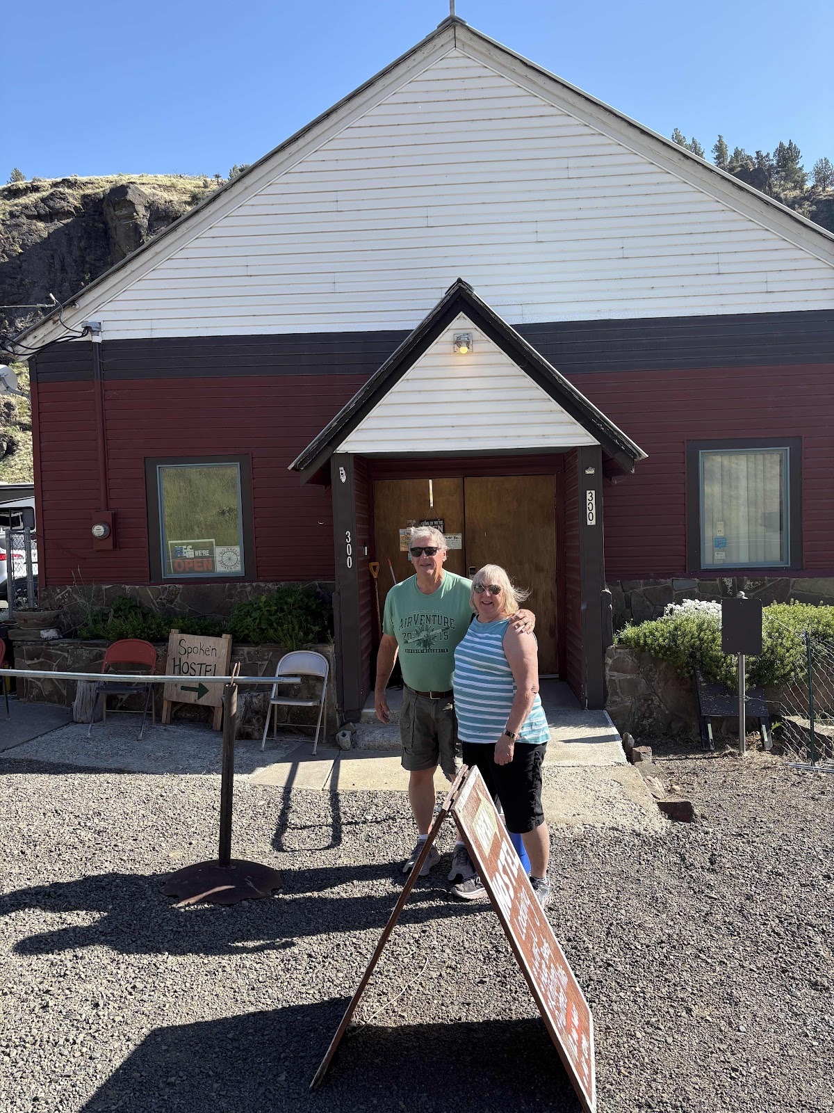
We arrived at the Spoke ‘n Hostel right at noon, and were greeted by Jilét. I remember her from when Doug and I stayed here on the Trans Am. The hostel is just as amazing as when I was here before!

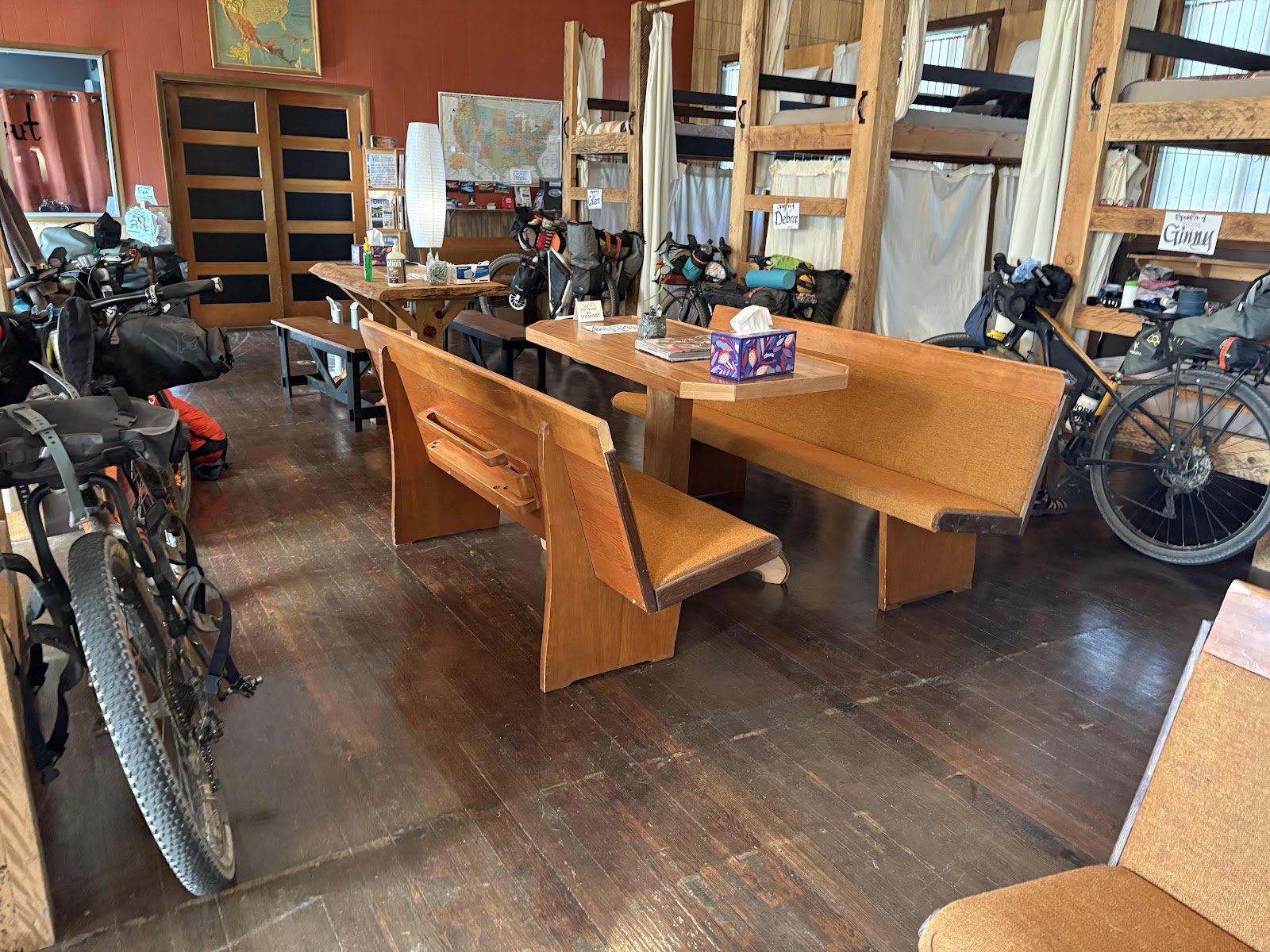
There is one other cyclist here from the UK who is doing the Trans Am (but not the race that is due to begin coming through tomorrow).

First thing Jilét did was give us big bowls of ice cream and some lemonade. So delicious! Then we took showers one by one, and did laundry too. Finally, we headed to Tiger Town Brewery for some food. It was packed, and it took nearly an hour to get food, but it was good!

Whew! Finally some food!

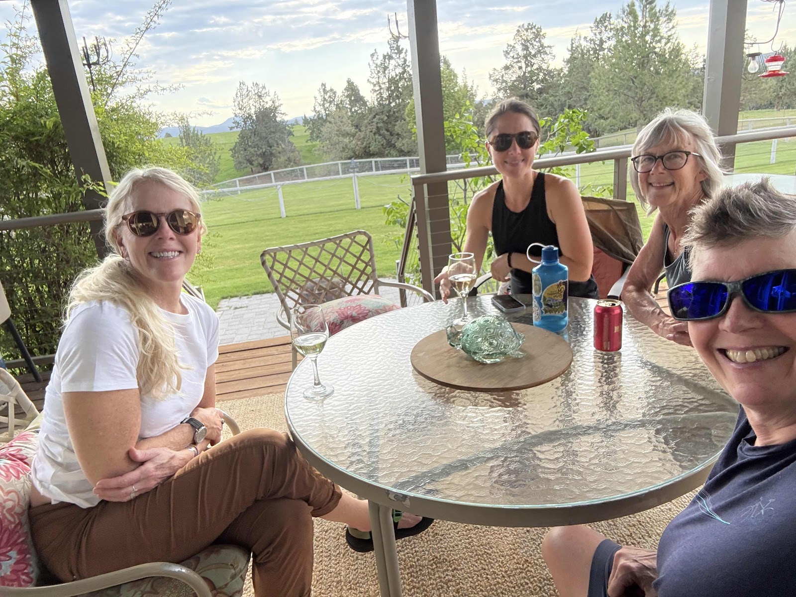
Just as we were finished, in walks Brian, my cousin. Him and Debbie had been out on the route looking for us. They didn’t know we would be so speedy. We came back to the hostel (they brought a cooler of beer for those who wanted it). We had a wonderful chat, then it was time for them to head back to Prine-tucky, as Brian calls it. 

Thank you Brian and Debbie for finding us!!!

Soon we will head off to dinner, back at Tiger Town Brewery (not much else in town).


Ochoco Day 2-So Much Beauty…So Many Water Crossings!

I knew we were in for some creek crossings today. The last time I did this route there were three rideable crossings in quick succession. Yea, we had those, but they were definitely NOT rideable! We took our shoes and socks off and switched to sandals. 

Makaela crossing creek #1. 

Makaela and Deb on creek 2. 
Because we knew there was another one, we just rode in our sandals. 

Somewhat uncomfortable with clipless pedals!

Makaela would always try to ride it, but end up getting off. 

After the third crossing, I put my shoes back on. Deb put hers on too. Ginny was already riding in sandals, and Makaela decided she liked it, so left hers on. That was fortuitous because…

There was a 4th creek crossing. I gave up, and just walked through this one in my shoes. I figured they would dry anyway. 

As we co to used making our way, the scenery was pretty nice!


Cool rocks too!

We had a 5th crossing, but we were able to ride that one. Just before, we came upon one of our crew who was dusting herself off. There were some really bad dried mud ruts, and she had hit one and crashed. Thankfully, the body was okay, just a little scraped knee. We did the 5th crossing and then the road went steeply up. As she shifted into her easiest gear, the chain went into the spokes. We got it out, and back on the cog, but the derailleur was bent enough that in the easiest gear, it would drop into the spokes. We weren’t too far from Ashwood, so we decided we would try and fix it there. 

Ashwood! Land of snacks and drinks when most needed! I spent $10 on ice cream, trail mix, Rice Krispie treat, potato chips, Dr. Pepper, and a Gatorade! LUNCH! 

I tried to fix the bike, but wasn’t really successful. It was rideable, just not shifting well. Of course, right after Ashwood was a 4.8 mile climb. And it was hot!

I turned on my music and ground my way from shady spot to shady spot. 

We finally reached the top. Then it was a nice downhill. 

We were thinking this is Mt. Hood, but not sure. 

After the long climb we had a succession of shorter, but sometimes equally as steep climbs, something like 4 more of them. At the beginning of a mile long one, we had crossing number 6. Really, it was more of a puddle, and easily rideable. I didn’t even stop. 


Now that was a nice long downhill! 


Look how there’s even green grass beside the road! With green grass comes…you guessed it…more water crossing! 

This was the deepest one so far, and thankfully, the last…#7! Yes, my shoes had dried out nicely. Not anymore! But, it did feel quite nice walking through the cool water. 

With another 2 mile climb, we finally got sight of the John Day River. 

Now just had to get to Burnt Ranch Recreation Area and campground. 

We came down a nice long descent to the turn. We waited for Ginny, then headed down to the river. 

Here she comes!

It had been a long hot day of 45 miles. We actually have picnic tables tonight! There is another couple here from Olympia! Best of all, the guy was a bike mechanic! He worked on the bike. The derailleur is still going to need some work, but at least maybe the chain won’t end up in the spokes again. 

I’m actually finishing this post the next morning. I could not keep my eyes open any longer. 


Ochoco Day 1-A Detour Right Out of the Gate!

Yesterday, May 28th, Makaela, Deb, Ginny, and I headed to Prineville so I could introduce three more of my friends to my cousins, Debbie and Brian. Oh…and to do the Ochoco Overlander Route. I’ve done this route before, a few years back, with Derik (a modified version without the pavement from and back to Prineville). So I was equally as excited to see Debbie and Brian as I was to do the bikepacking trip. 

I rode with Makaela. We arrived about 4:00ish. Deb wasn’t far behind, followed by Ginny. We got settled in and sat out on the deck while Debbie and Brian fixed us dinner (our offers to help were declined).

Such a wonderful place!

Dinner was delicious as always. We did what we could to ready our bikes, then hit the sack. 

Brian fixed us breakfast (he knows I love me some French toast), and we were well fueled for the day. We managed to get on the road just before 9:00. 

Thanks Debbie for taking the photo!

One of the cool things is that my cousins only live about a half mile from the route. In no time we were heading up McKay Rd. 

Woo Hoo!

We hadn’t gone much more than 4 1/2 miles (just .3 to the intersection of Gerke and McKay) when we could see something was going on up ahead. Pretty soon a pickup truck was heading our way and signaled us to stop. Apparently, a canal (probably irrigation?) had washed out the road just before the intersection. There was 2 feet of water and mud running over the road. I asked if there was a way around it. We were directed back to Grimes Rd, then worked our way to Gerke, and to the intersection from the other side. It was about a 4 mile detour, but it was fine. 

Zoom in, and you can see the Three Sisters. We wouldn’t have seen them were it not for the detour!

We made it back to the intersection, only on the other side. 

That’s a little bit of a mess!

Now we were back on the route! We had about 13 miles of pavement, with the last 6.5 being a decent, but doable climb to the gravel. We took breaks along the way. About halfway (and the beginning of the 6.5 mile climb on the climb profile), we stopped at a dispersed campsite and had some lunch. 

We took our time. Even with the detour, the day wasn’t going to be that long. 

With our bags a little lighter from eating a meal, we started up the more climbing part of the day. 

Winding up! That’s Deb ahead. 

We reached the top, and the gravel. 

Pavement ends here!

From there it was a fun 5ish miles downhill to Skookum Rock/Buck Creek dispersed campsite…our destination for the day. With the detour, we had ridden 31.3 miles. 

We got our tents up, and went on a bit of exploring. 

Ginny is in the distance off to the left. 

Makaela said I had to come see this…

Not one…

But two toilets in the woods! The only problem is they are not 250 feet away from the creek. The red one even has toilet paper (I’m sure it’s because last weekend was Memorial Day weekend).

I also got this photo of Skookum Rock through the trees. 

Makaela and Ginny climbed up a steep road and got a better view. 

Finally, it was dinner time! I tried a new dehydrated meal from Peak called Sweet Pork and Rice. It was on the verge of too spicy for me (but I’m a negative spice level person), but I ate it. It had a lot of calories and protein for a dehydrated meal. Everyone else also had dehydrated meals. 

The wait for food to “cook”.

After dinner, I decided I would walk up the hill that Makaela and Ginny had gone up earlier. 

Our tents down below. 

A little more view of Skookum Rock. 

Spring flowers. 

It was a great first day, detour and all. Tomorrow we head toward the John Day River.