Saturday, June 29, 2019

OSBT Day 22-Time For Another Scenic Bikeway

Riding the Twin Bridges Scenic Bikeway was my plan for the day. This is the second of five Scenic Bikeways I am doing on this tour. Originally, I planned to just do the loop part, and not the out and back to Bend where the Bikeway actually starts. I wasn’t going to do it, because I thought I would be riding it to get to the park. However, that was not the case, so I decided to do the whole thing...36 miles vs 22. 

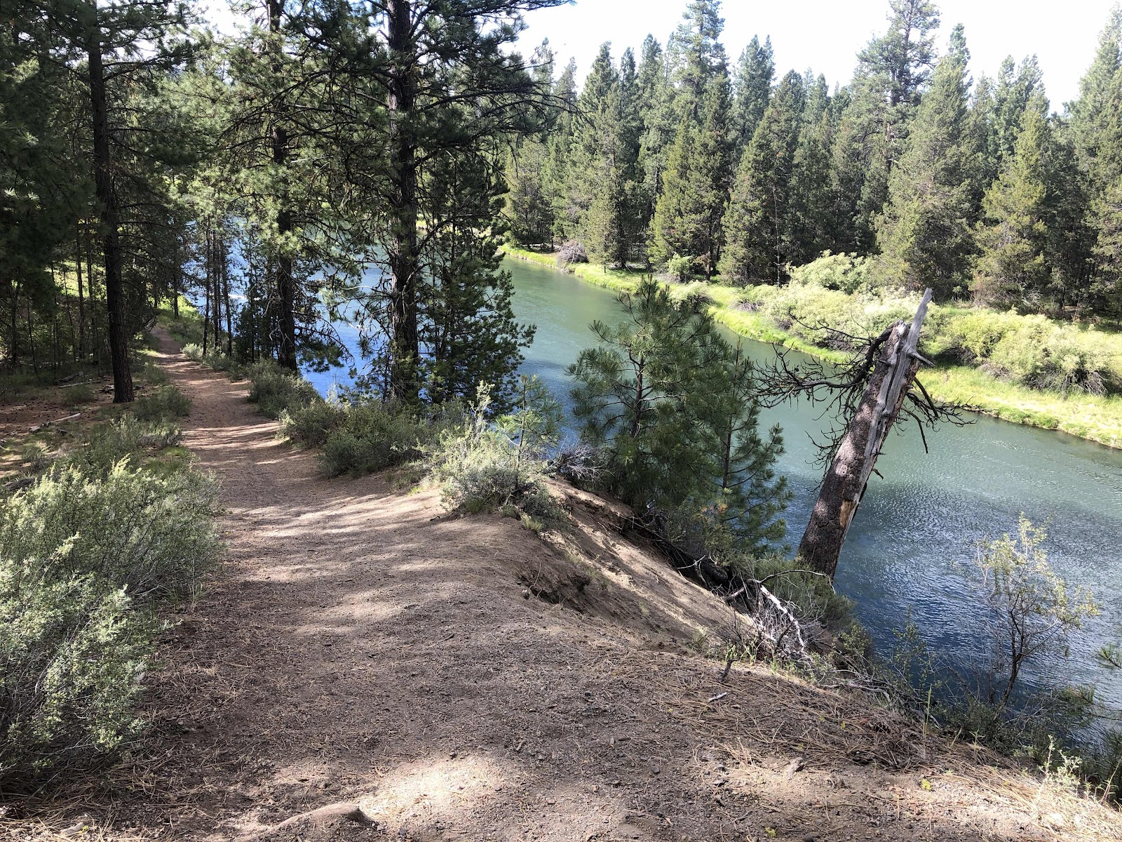
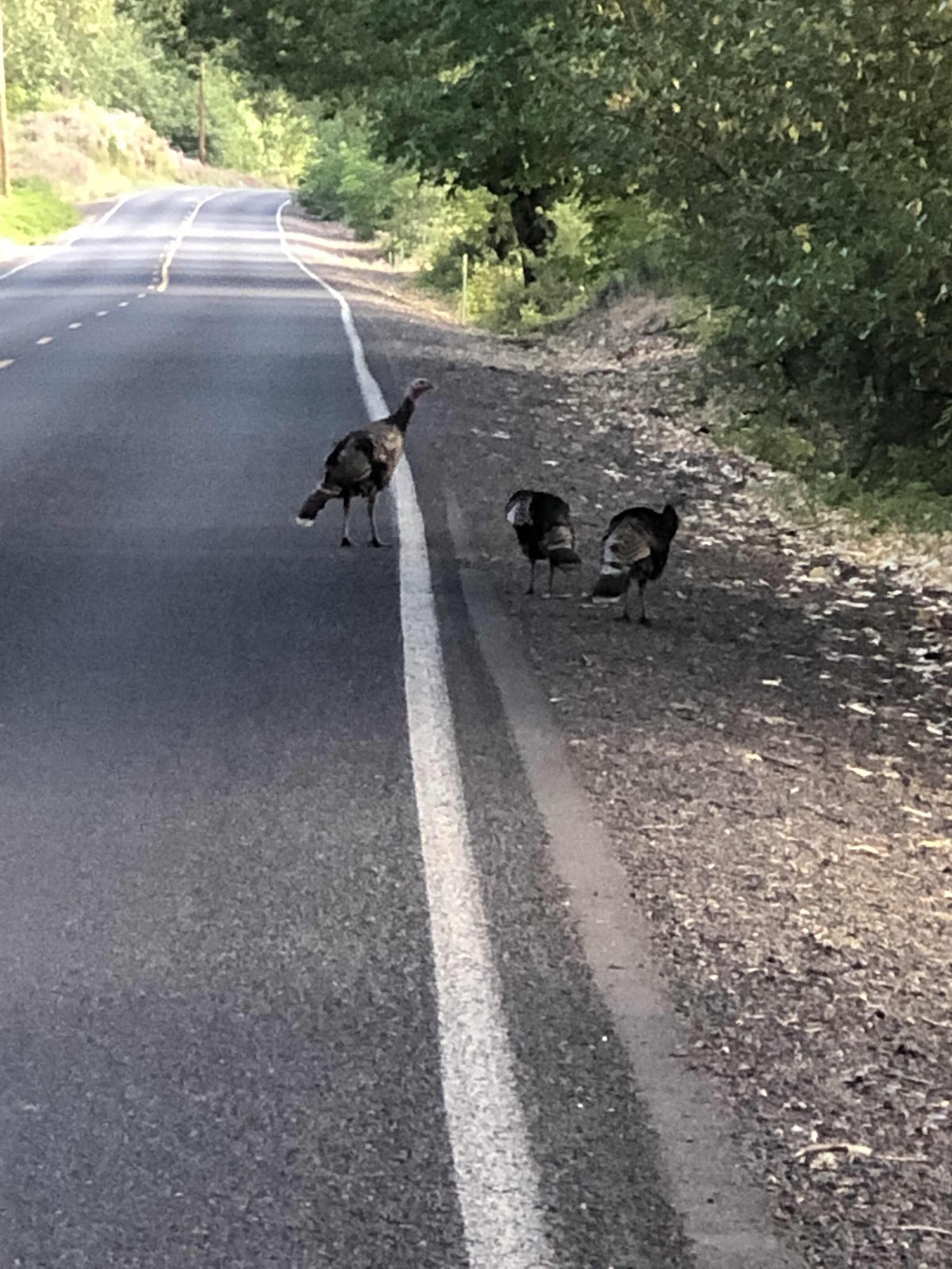
Tumalo State Park is not right on the route, but very close...like 1/4 mile close. I left the park about 8:45. Before too long, I was on the out and back part. Interestingly, the route is not signed back into town. That made it a bit tricky for me when there were roundabouts. Which way do I go? I had to stop periodically and check the route on Ride with GPS. Even so, (OMG, two buck deer just ran through the H/B site!!!) there was a short section that was different for coming into town that I never saw a sign for. Not a big deal, but still...

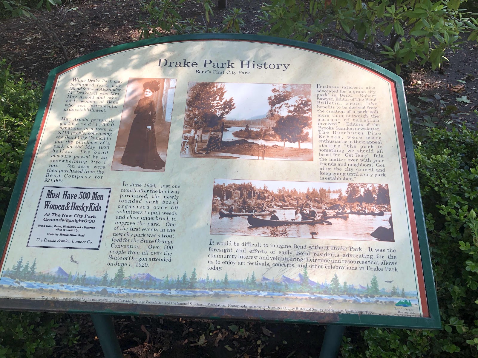
Anyway, I made it to Drake Park, the official start of the Scenic Bikeway. 


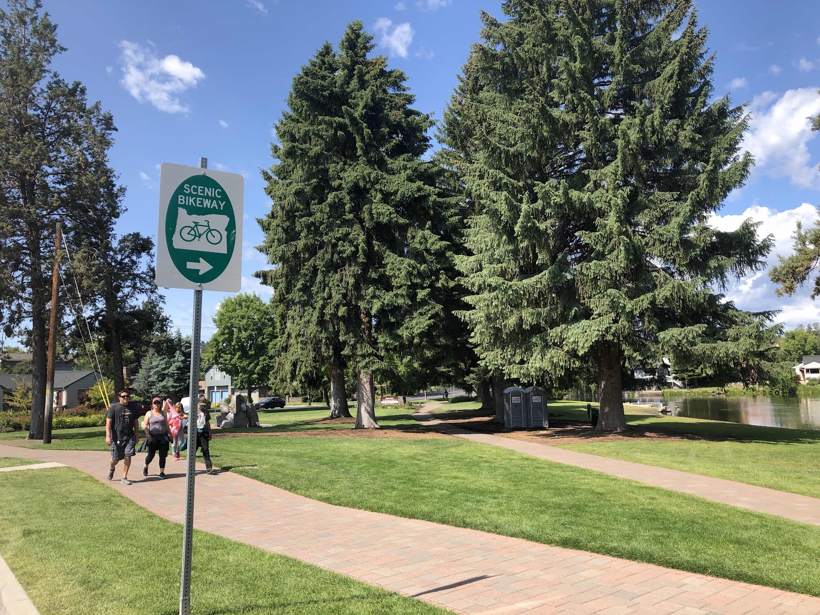
Ah...there’s a sign!

After a break, I headed back the way I came. Of course it was much easier because I had already come that way, and there were signs. 

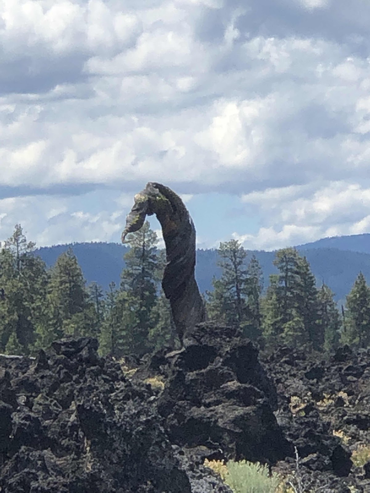
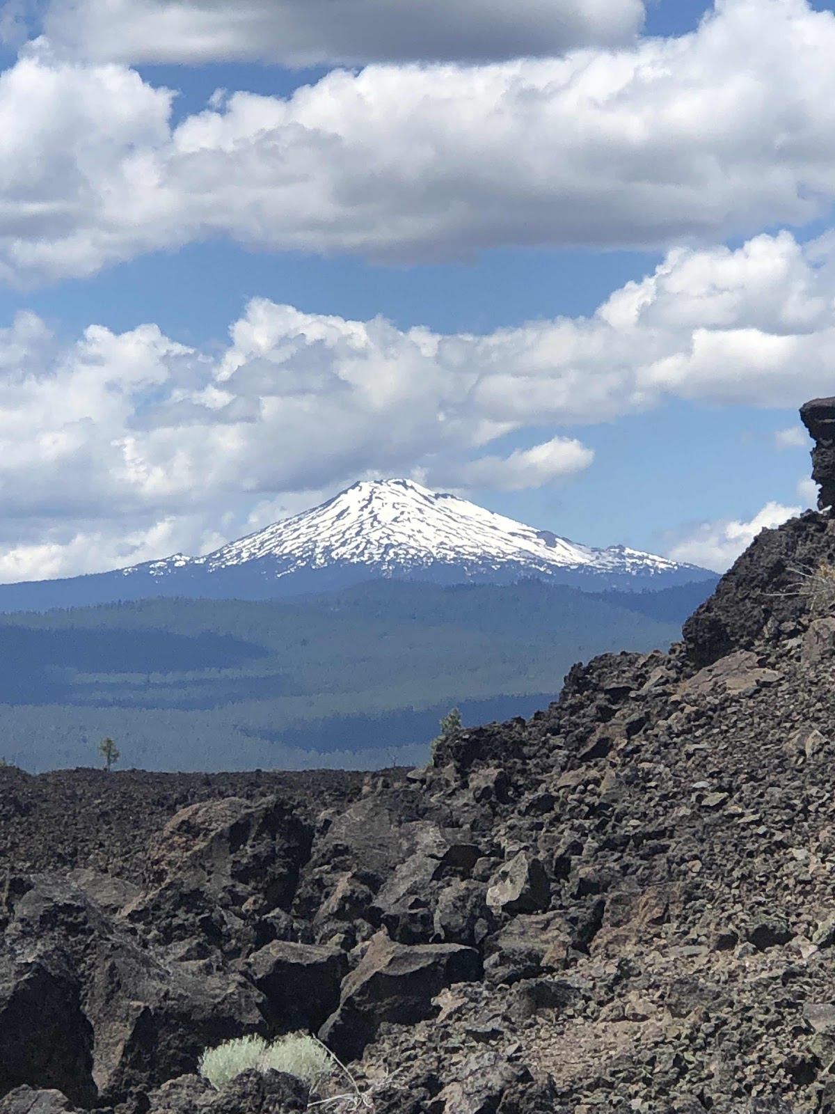
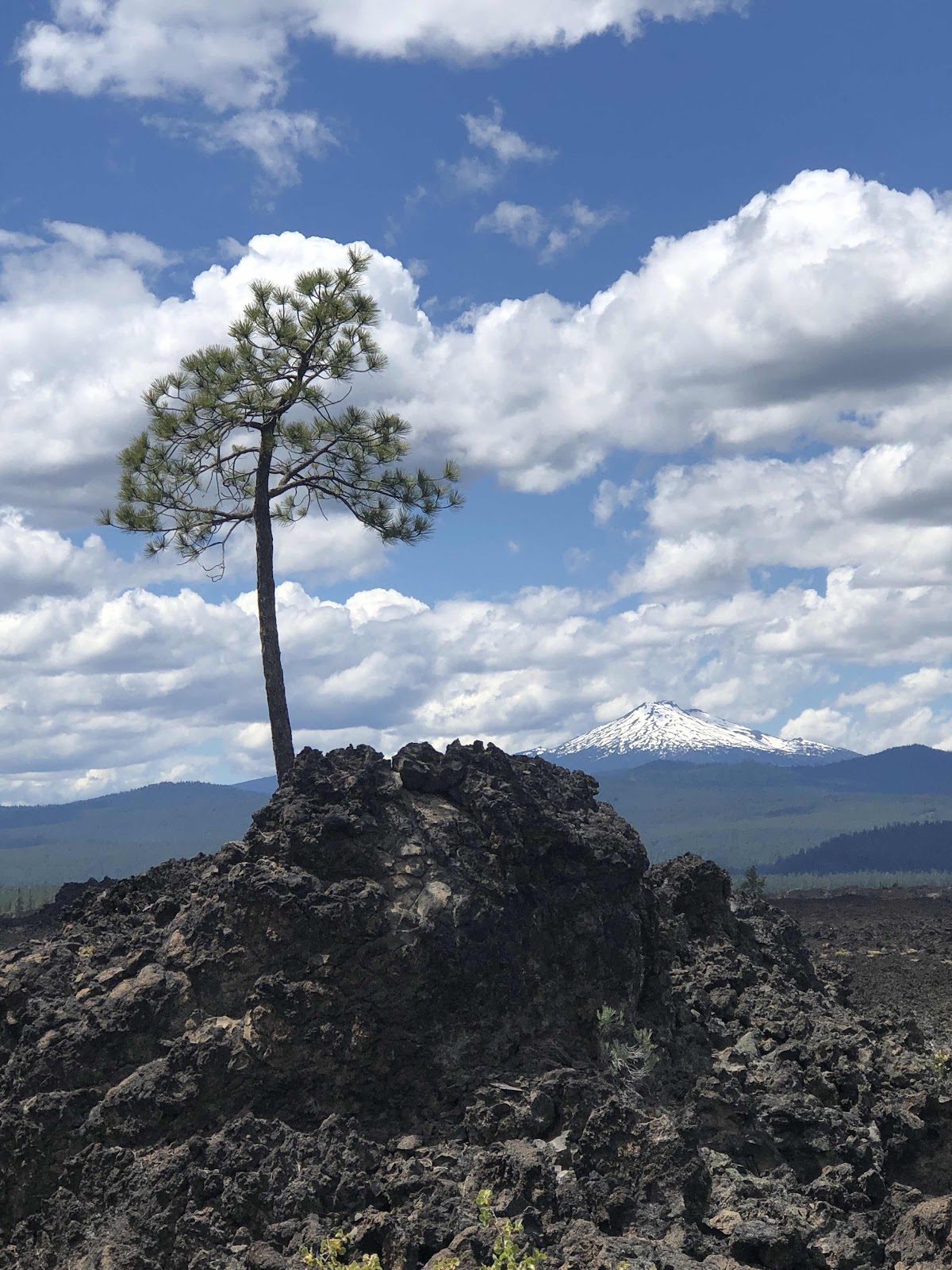
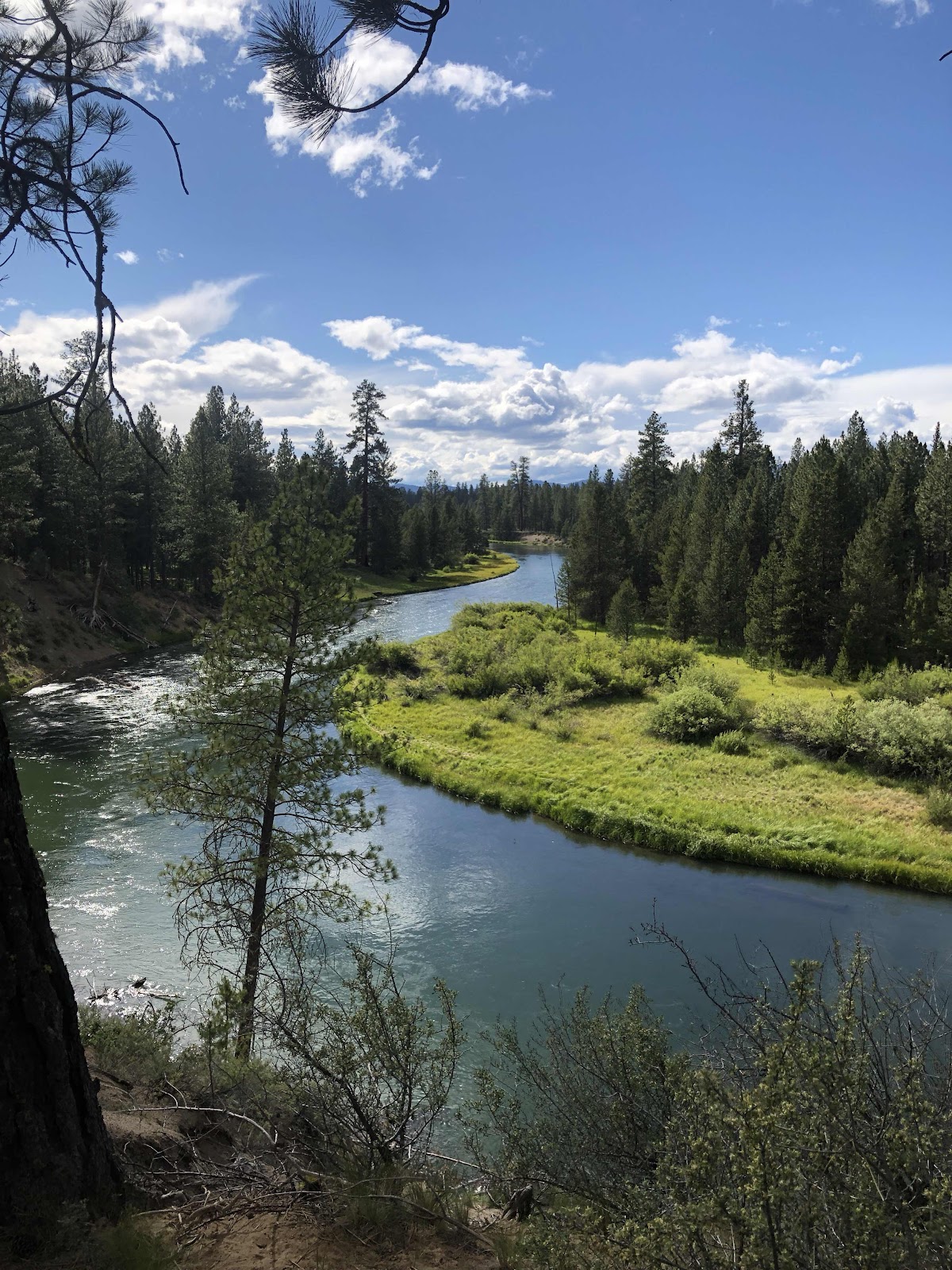
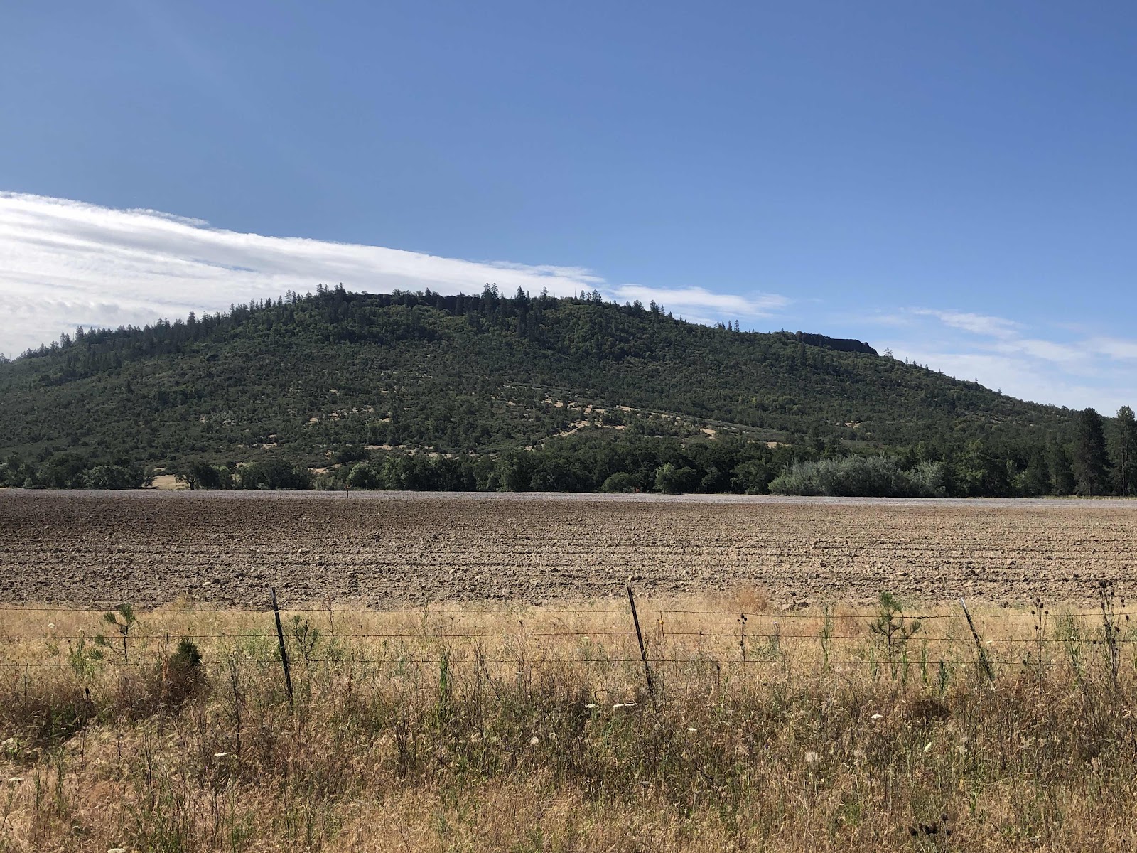
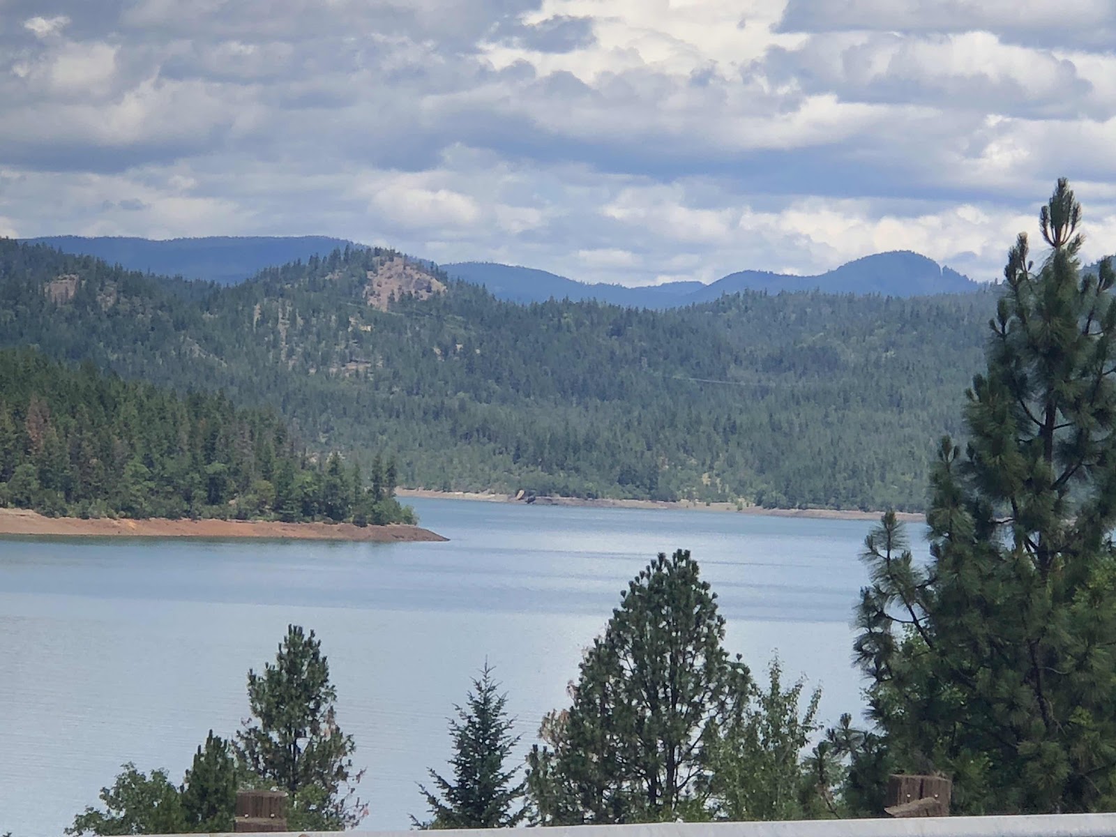
Once I made the turn onto the loop part, it was pretty much view after view of the same mountains I’ve been seeing the last couple of days. 


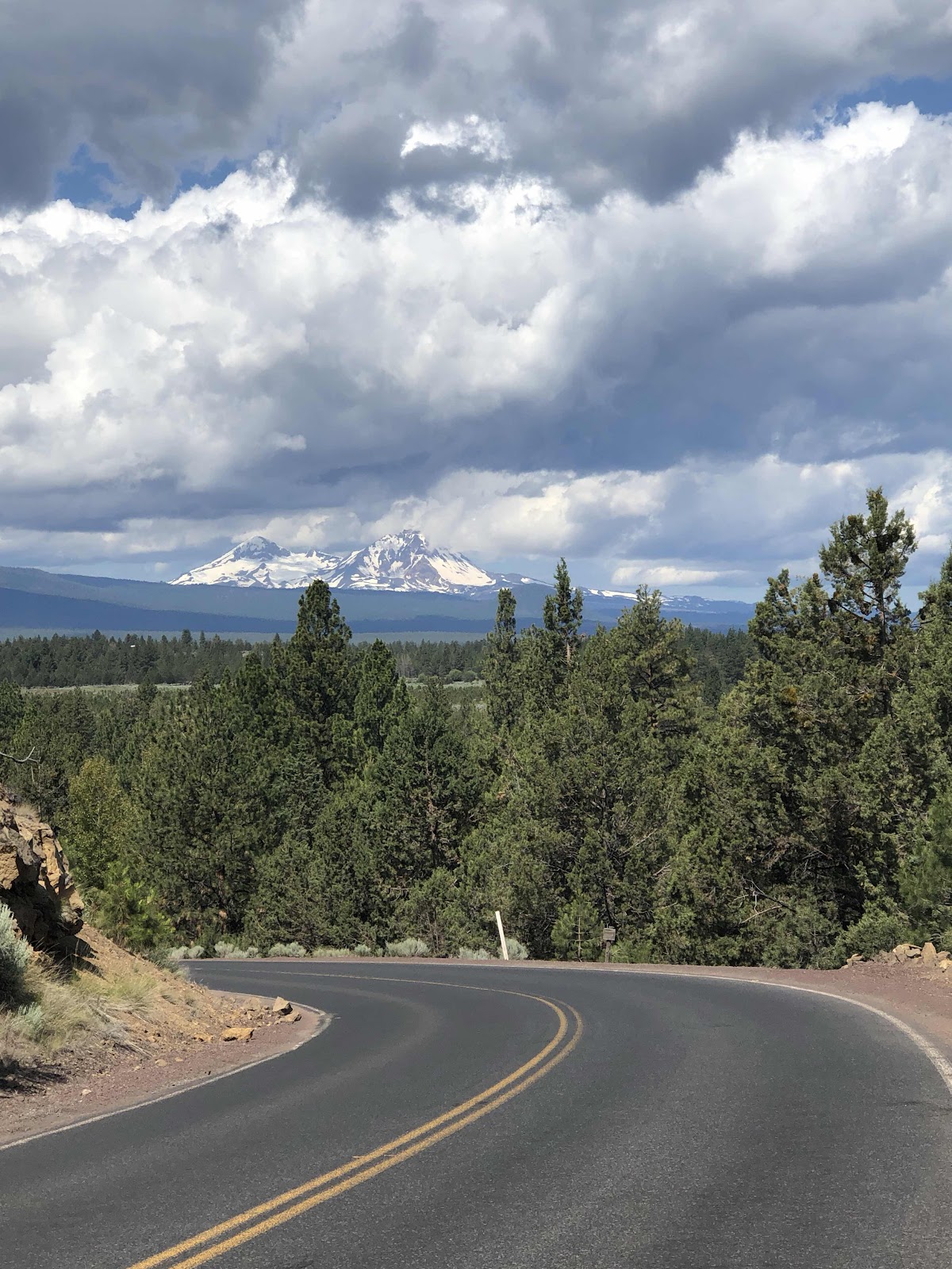
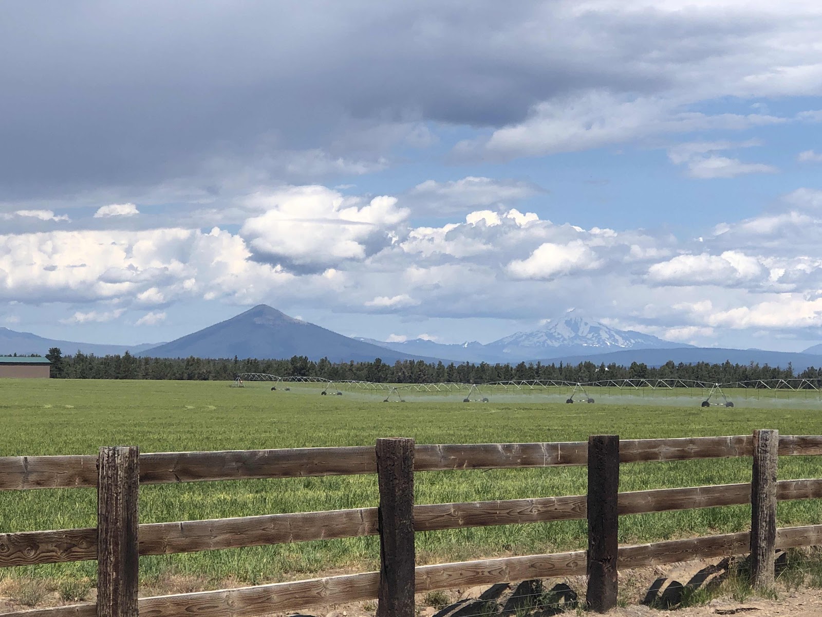
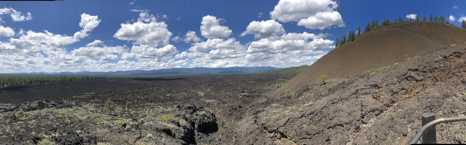
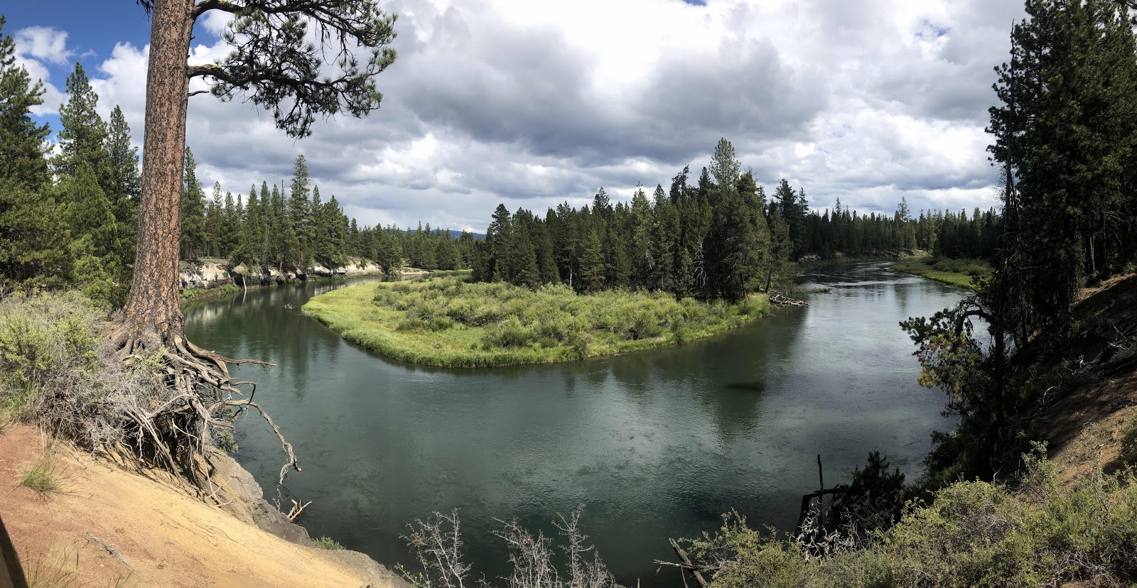
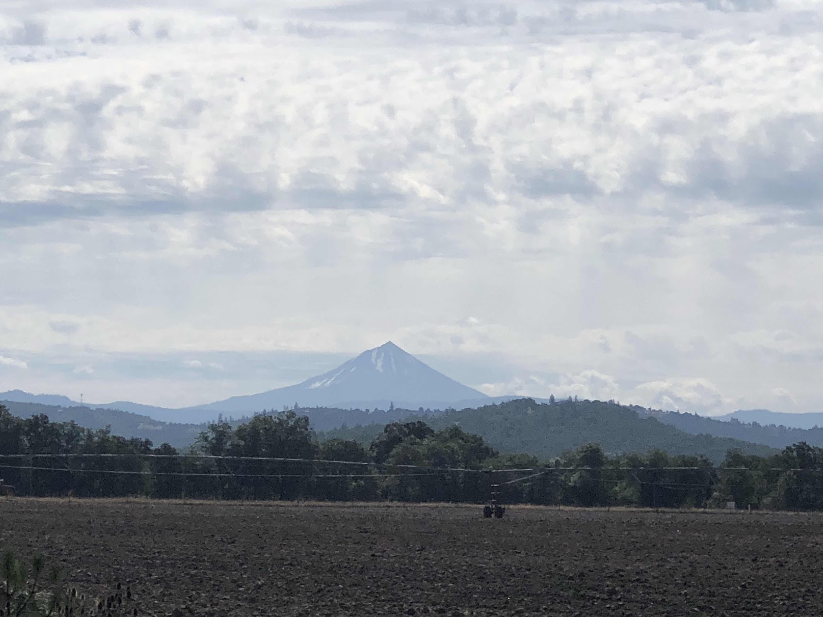
Pano of the whole line of them. 

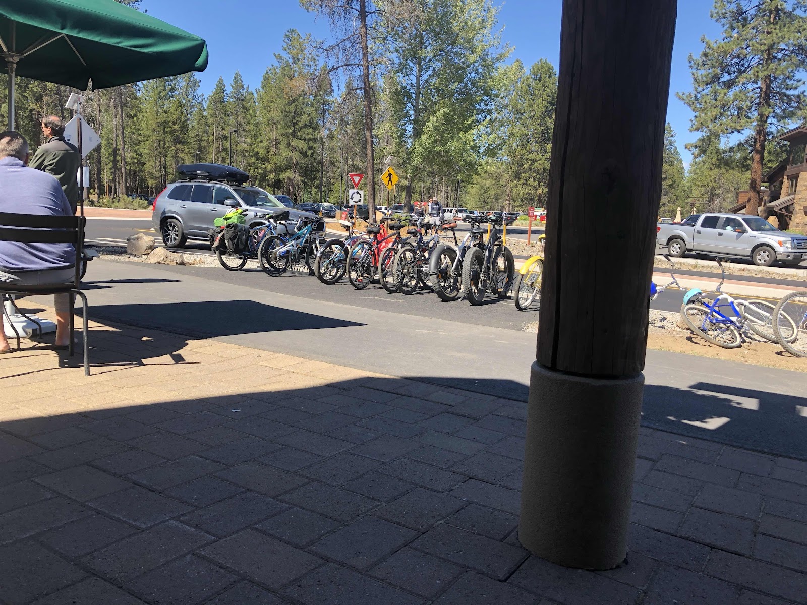
I have to say, this route was quite hilly. I’m really glad I didn’t have to carry all my gear! I saw tons of cyclists (helps that it’s Saturday) all on road bikes, of course. One thing that was interesting was that the website for the route says to do the route clockwise, but I saw many going the other way. The route is also not signed in the other direction, but I suspect they are all locals. The reason the route is supposed to be done clockwise has to do with two highway crossings. However, I don’t see how that really made any kind of difference. I still had to cross them. 

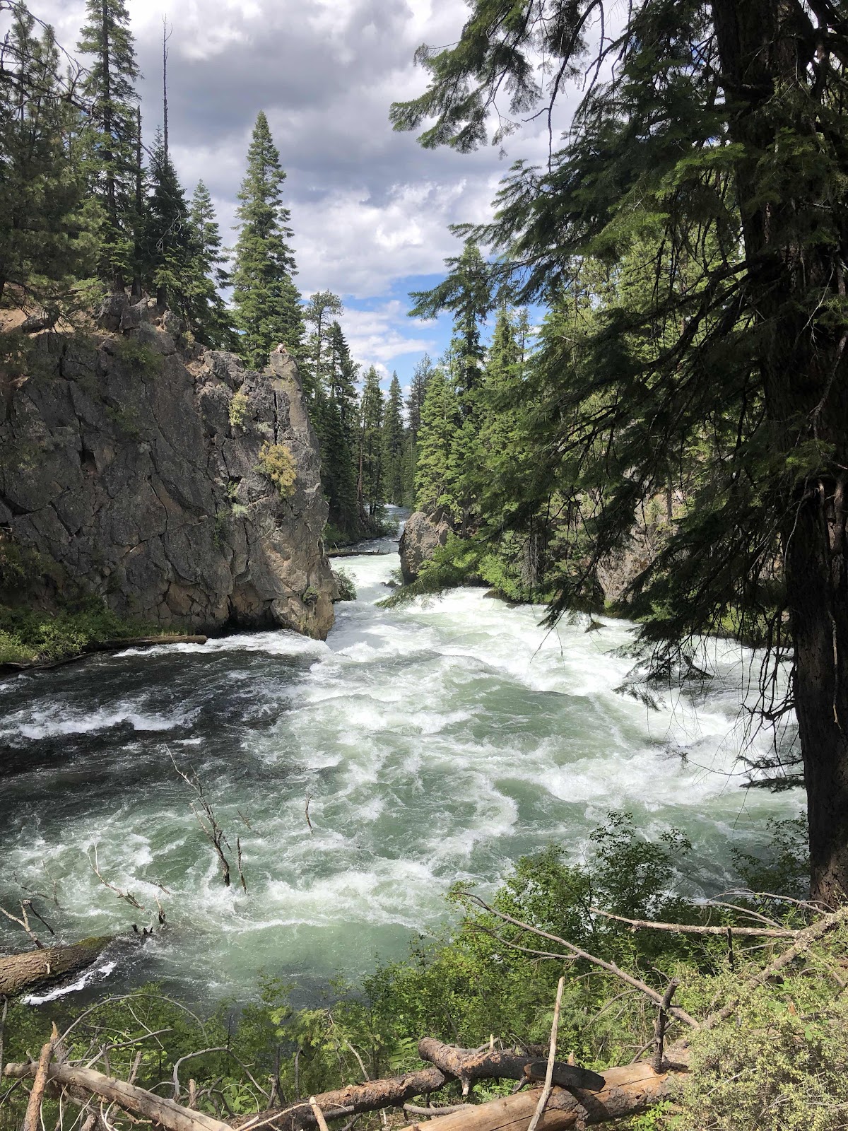
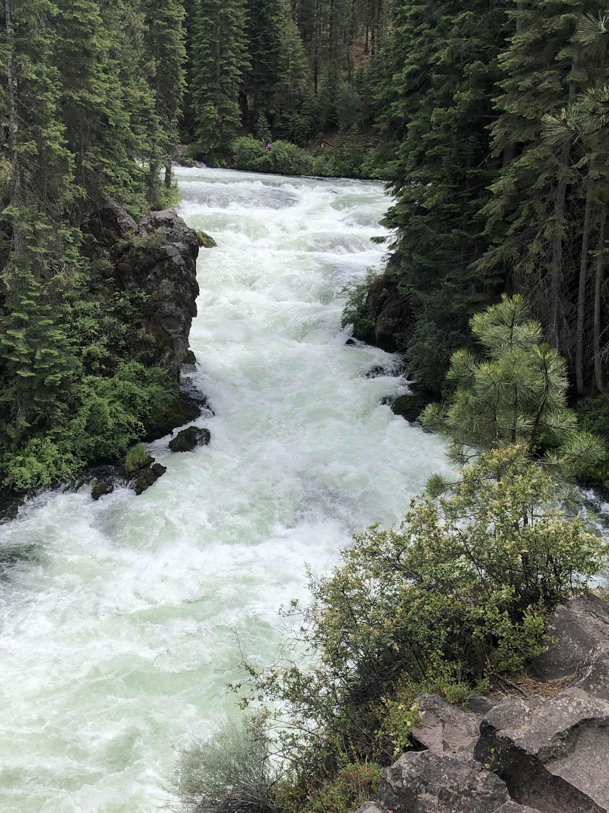
The route is called Twin Bridges, however, the Bridges were not that distinctive. In fact, Twin Bridges Road only had one bridge!

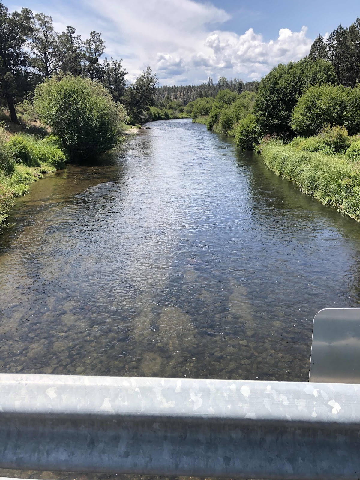
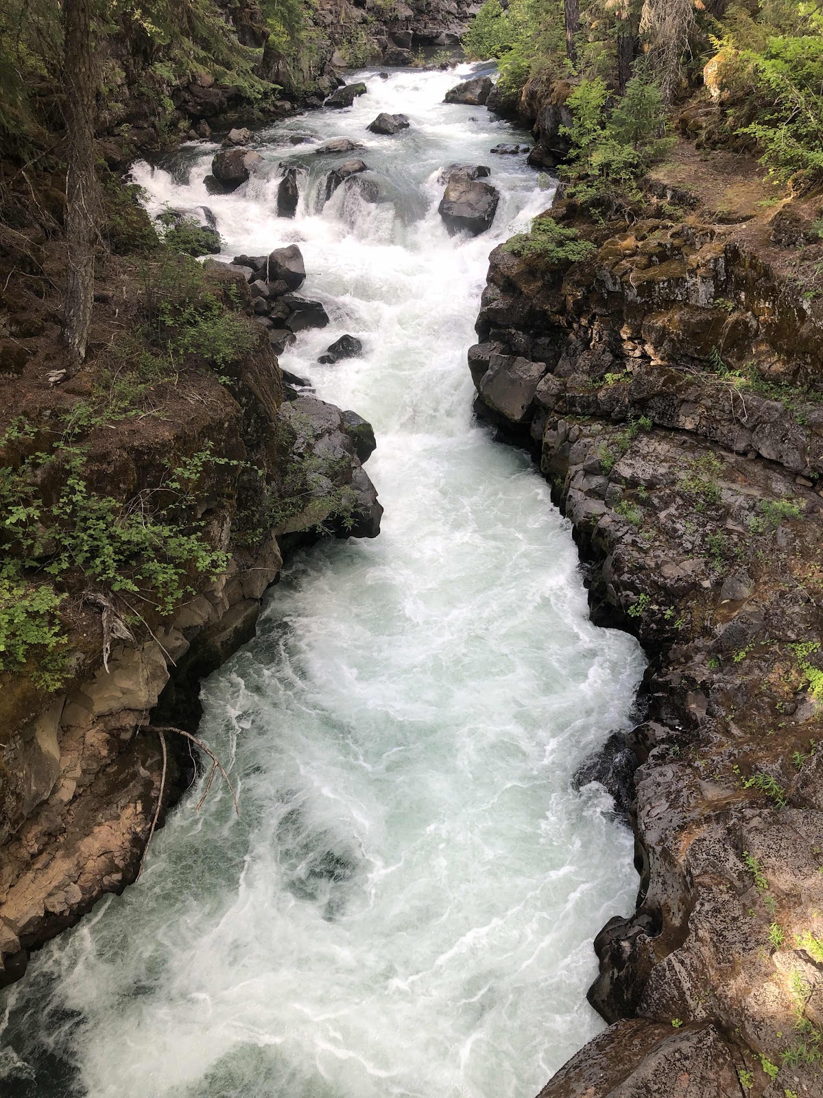
Crossing the Deschutes on bridge #1. 

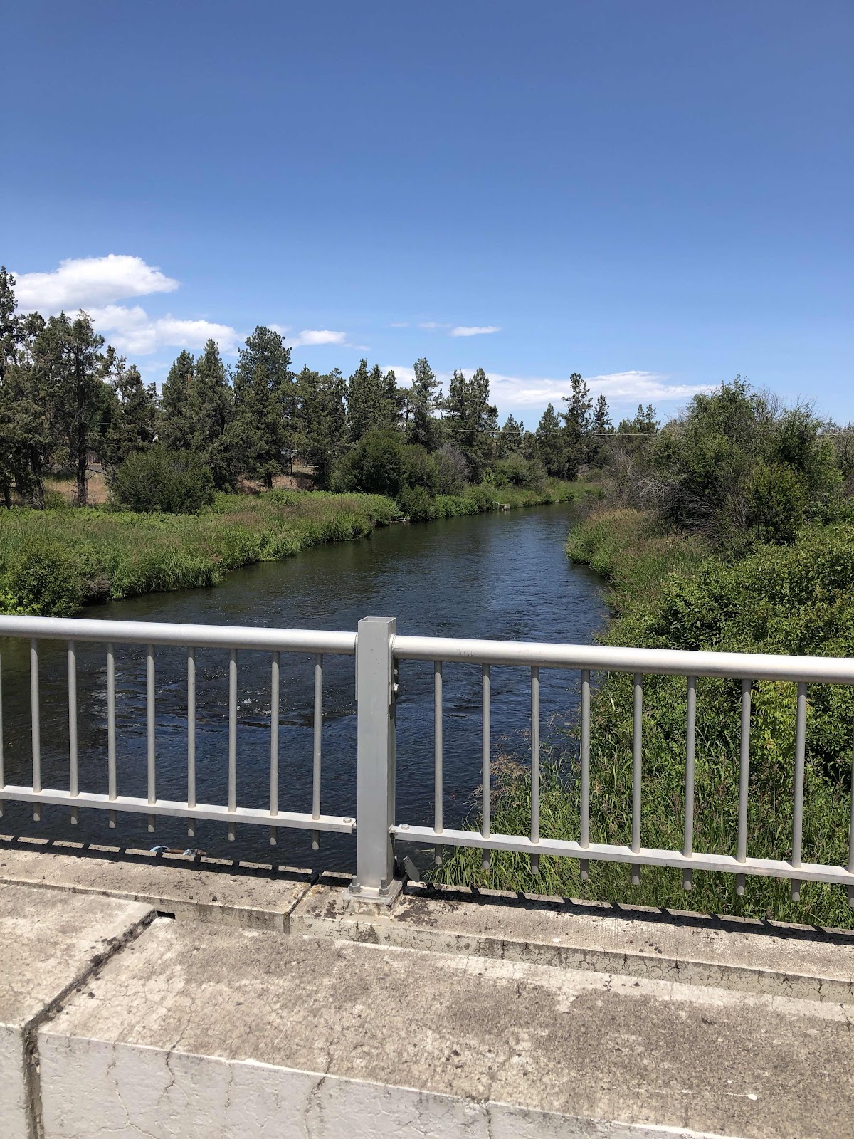
Crossing again on bridge #2. 

In the little town of Tumalo, I stopped for some lunch. There was a “deli” in the Shell station. I had a crappy burger. If only I’d ridden a bit further, there were some food trucks. Probably would have been a much better lunch. Oh well, that’s what happens when you don’t know what’s ahead. 

I just had a few more miles to get back to the Campground. Now I can check off Twin Bridges Scenic Bikeway. 


Friday, June 28, 2019

OSBT Day 21-Lava Lava Everywhere

Today may have been a good day to get an earlier than usual start, but instead, I slept until 7:40, and didn’t get going until just after 8:30. 

I think I mentioned the couple I talked to as I was making my way to Chemult. They had told me a good way to get to Bend staying off  Hwy 97. I did my best to remember all they had told me. 

First up was Sunriver. Wow, what a bustling place! I stopped for a break at a Starbucks. There were lots of bikes parked!

Biking is by far the easiest way to get around Sunriver. There are bike trails everywhere! I used bike trails to make my way to Cottonwood Dr which took me to the other side of 97, and the road to Lava River Cave. 

Another advantage to being on a bike, I had no problem parking (the bike rack was empty) at Lava  River Cave. The parking lot was full, so cars just had to keep circling around until a spot opened up. Also, I didn’t have pay for a vehicle permit ($5). 

I sat through the little orientation before entering the cave. Mainly, it was about a fungus that is killing bats, and how they ask that you don’t wear any clothing into the cave that you have previously worn in another cave. And also don’t wear the clothing you wore in this cave into another cave. So far, Lava River Cave shows no signs of the fungus, but it has been found in Washington. 

I rented a lantern for $5. I’ve had experience in a cave with just my headlamp...not good. The cave is one mile long, so two miles round trip if you go to the end. Someone asked if there was anything at the end of the cave. The ranger gal said there is a magic dragon granting eternal life. Funny gal! Here’s some photos. 

Going in!

The railings were helpful

Mostly no railings though

Okay, where’s the dragon?

Don’t see it?

Where’s my eternal life!!!

I listened, but couldn’t hear any cars (okay, it is about 81 feet above).

Back to the surface. 

It took me a little over an hour to go to the end and back. It was about 42 degrees in the cave. I’d put my hoody on, but I wished I’d put my gloves on too. 

Back on the road, my next stop was the Lava Fields Visitor Center. I parked Tilmann and walked the mile plus trail through the lave field at the base of Lava Butte, a cinder cone that when it erupted many moons ago, created the Lava field. Here’s some photos of the above ground lava. 

Lava Butte (if I’d had the time, I would have ridden up there)

“Lava Ness Monster” (or maybe it’s that dragon?)

Mt. Bachelor

Pano of Bachelor, Tumalo, Broken Top, and the Three Sisters

Cool lava swirl pattern

A lone tree amongst the lava...oh, and Mt. Bachelor. 

When I got back to the Visitor Center, I asked about the bike path to Benham Falls, and then on into Bend. There were a couple of options. I chose the paved path option. Well, it was paved until the trail to the Falls. But then it was gravel, so no problem for Tilmann. And now for a couple photos from Benham Falls. 


This is still the Deschutes River. 

At the Falls, the trail became a more technical mountain bike trail. Tilmann wasn’t too thrilled, so I took the gravel road instead. That road took me to a paved road that went out to the Cascade Lakes Hwy. along the way, I passed the turn for Dillon Falls. I really wanted to go there, but it was getting late, and I still had another 17 miles to go, plus needing to resupply food in Bend before going on to Tumalo State Park. 

I hopped on another Bike path (I think it was the Rimrock Trail) for awhile, but then got back on the road. Once I had my groceries, I headed for Tumalo State Park. I arrived about 5:45. It was just under 48 miles, but a long day. I’m really glad Tumalo has a hiker/biker site because the park is full up tonight. 


Thursday, June 27, 2019

OSBT Day 20-More About the Hike Than the Bike

Last night I heard the strangest thing. It was the sound of raindrops on my tent! Didn’t last long though, and my tent was dry in the morning. 

The ride from Walt Haring just outside Chemult to La Pine State Park was rather boring. It was fast, relatively speaking, because it was mostly trending down, but it was just a long straight road. I did have a brief time (okay, 1 whole mile) off 97 on a bike path between Crescent and Gilchrist, but otherwise it was the Hwy to La Pine. I Googled how to get to La Pine State Park. Google failed me by trying to take me through a gated community. I was able to reroute easily. Then, Google took me down a 1/2 mile of gravel road. Again, not terrible, but really??? It was about 48 miles today. 

Anyway, I made it to the campground. They do not have tent sites here, just hookups. At least I was able to get the last electrical site at $26 instead of a full hookup at $29. I can use the electrical outlet to charge everything. Also, I didn’t have to pay for camping the last two nights, so it kind of evens out. 

Once I got my stuff set up, and took the first shower in two days, I put my trail shoes on, and went in search of a viewpoint and a big tree. The park map was not very precise, and the trail signage was slightly less than adequate, but I managed to make it to McGregor Viewpoint. One might think it was named after Farmer McGregor of Peter Rabbit fame because, on the way to the trail I saw these. 

Pretty sure that’s Flopsy, Mopsy, and Cottontail. 

There’s ol’ Peter himself. 

McGregor Viewpoint was this awesome bend in the Deschutes River. 

The Deschutes is very curvy!

From the viewpoint, I headed for the “Big Tree”. Since I was out for a hike, I did the Cougar Woods Trail to get to the Big Pine Trail to get to the “Big Tree”. There were some more awesome views of the river. 


The trail came down along the River here. 

Finally, I reached the “Big Tree”. 


Photo doesn’t really do it justice. 

I made my way back to the campground completing a 7.3 mile hike. The Strava picture of the route is very loopy (hmmm...just like the river). 

Back at my campsite, I heard something I’ve never heard while I was camping. A guy said, “Hey Siri.” I don’t know why that struck me as so strange??? 

It’s sunny, but the wind makes it chilly. I’m sitting with both my hoody and my jacket hoods up. Might be another early night into the tent, just for warmth. 


Wednesday, June 26, 2019

OSBT Day 19-A Different Way Than Before

I said my goodbyes to Steve last night. He thanked me for teaching him so much. I think he feels pretty confident continuing on his own. 

I was packed up in 50 minutes this morning (from the time I woke up to when I was rolling out). I don’t think I’m fast, I’m just efficient. 

I stopped at the Union Creek Resort to get some liquid refreshment for later in the day. I knew I would not have any opportunity until Chemult which was 55 miles away. 

I stopped to have a look at the Rogue Gorge. Here’s some photos. 


Pretty impressive. 

Last time I came this way, I went to Crater Lake. This time I decided to go around. While it’s true, the elevation was lower, there was still quite a bit of climbing. 

It wasn’t really steep climbing, just long. 

The descent brought me down to the turn to Diamond Lake. Since we had gone all the way to Natural Bridge, it was too early/short for Diamond Lake. I made the turn toward Bend, and started climbing again. Last time, I thought this climb was easy. I had even come from Diamond Lake which was another 2 miles. It probably had something to do with not having already ridden 25 miles last time...fresh legs and all. Today, I was thrilled to finally reach the top. 

From there is was about a 10 mile descent on a perfectly straight road. Some dark clouds were hanging around, and after a bit, I felt a few raindrops. Then I came to a part where it must have just rained, because the road was all wet. There were still some drops coming down, but upon closer inspection, it was hail. But, just a little. I never got wet (well, a little from the spray as the big trucks went by). 

I came to Hwy 97 with 10 miles to go to Chemult. I was pretty hungry as I hadn’t eaten anything since just before the first summit. I saw a billboard for Subway at the Pilot Truckstop, but couldn’t hold out when I came to a Rest Area. I stopped and drank the bottle of Gatorade I’d been carrying all day and had some coconut date rolls. 

Not too much further, I came into Chemult. I needed a few groceries so I stopped at the only market that has much of a selection. There I also asked about the camping just north of town that is on my map. The gal told me what the name was...Walt Haring Sno-Park (and Campground). What she neglected to tell me was that there is no water. She mentioned Miller Lake, so when I got to the campground, I asked some people how far the lake was. Apparently, it’s quite far. They suggested going back to the Ranger Station and getting water. It was only about 1/4 mile back. Not wanting to climb back up the hill to the campground with all my stuff, I set up my tent, threw everything in it, and took my water bladders back to the Ranger Station where the lady was kind enough to let me fill everything up in the kitchen. 

The campground only has a couple of people (besides me). I miss Steve. It’s going to be a boring night. There is this nice log building. A person could have set up a tent inside...just saying...


Oh, I met a couple from Bend when I was eating my lunch. They gave me a great idea of how to get into Bend without spending so much time on Hwy 97. It’s not the Cascade Lakes Hwy. I did that last time, and this time I want to check out the Lava Cave between La Pine and Bend. I’ll check the map when I’m in La Pine tomorrow. 


(Temporary Backup) OSBT Day 18-A Long Day After an Interrupted Night

Something I ate last night did not agree with me (I’m hoping it wasn’t the summer sausage or the cheese, they were both new packages). Every three hours I was rudely awakened by a strong need to hoof it to the restroom. Fortunately, our campsite was not too far away. At 5:30, I just decided to get up and get going. I was on the road by 7:00.

I took the Greenway Trail to Gold Hill. There I stopped for some Imodium, a banana, and a Sprite. 


These turkeys were out and about early too. 

I saw another bike path (the Gold Hill Trail) that went to some falls on the Rogue River. The Falls weren’t that impressive, but it was nice to be off the highway. Without warning, the Trail came to an end, so I had to backtrack a bit to an access to the highway. 

The road was pretty winding for awhile with little to no shoulder, but there wasn’t too much traffic. Later on, things leveled out a bit and I got these nice views of Lower Table Mountain, and Mt. McLoughlin. 


Ol’ pointy top. 

Once I turned onto Hwy 62, I was back on the ACA Sierra Cascades Route I had done 8 years ago. I have vague memories of the climbing, but I do remember the Peyton Bridge. 

Going across

Looking back to the bridge. 

Steve and I had made a plan that we would go to Natural Bridge Campground, a 63 mile day, or if I decided I didn’t want to go that far, I would leave some kind of a signal at the turn to Mill Creek Campground. I was feeling remarkably good considering my night before, so I opted to continue. Toward the end, I was slightly regretting that decision, but I survived. 

Natural Bridge CG is another no piped water campground. But, the Rogue River is just a short path from my campsite, so I filtered water. 

I walked the path to the interpretive trail for the Natural Bridge. Here’s some photos. 


The water flows through lava tubes. The force of the river is pretty epic. 

Steve arrived, but preferred site 12 (I set up on 5). He’s going to take a day off here to rest, so this is my last night with him. I considered taking a day off too, as there are several hiking trails, but the mosquitoes are horrid here, and there are, of course no showers, and the river is bone chilling cold. No, I’ll move on tomorrow. 

I’m looking forward to a better night’s sleep tonight, with the sound of the River lulling me to sleep. 

Here’s a couple more photos from the day. 

See the goslings?

Sweet peas I think

Lost Creek Reservoir.