The view from my tent this morning.
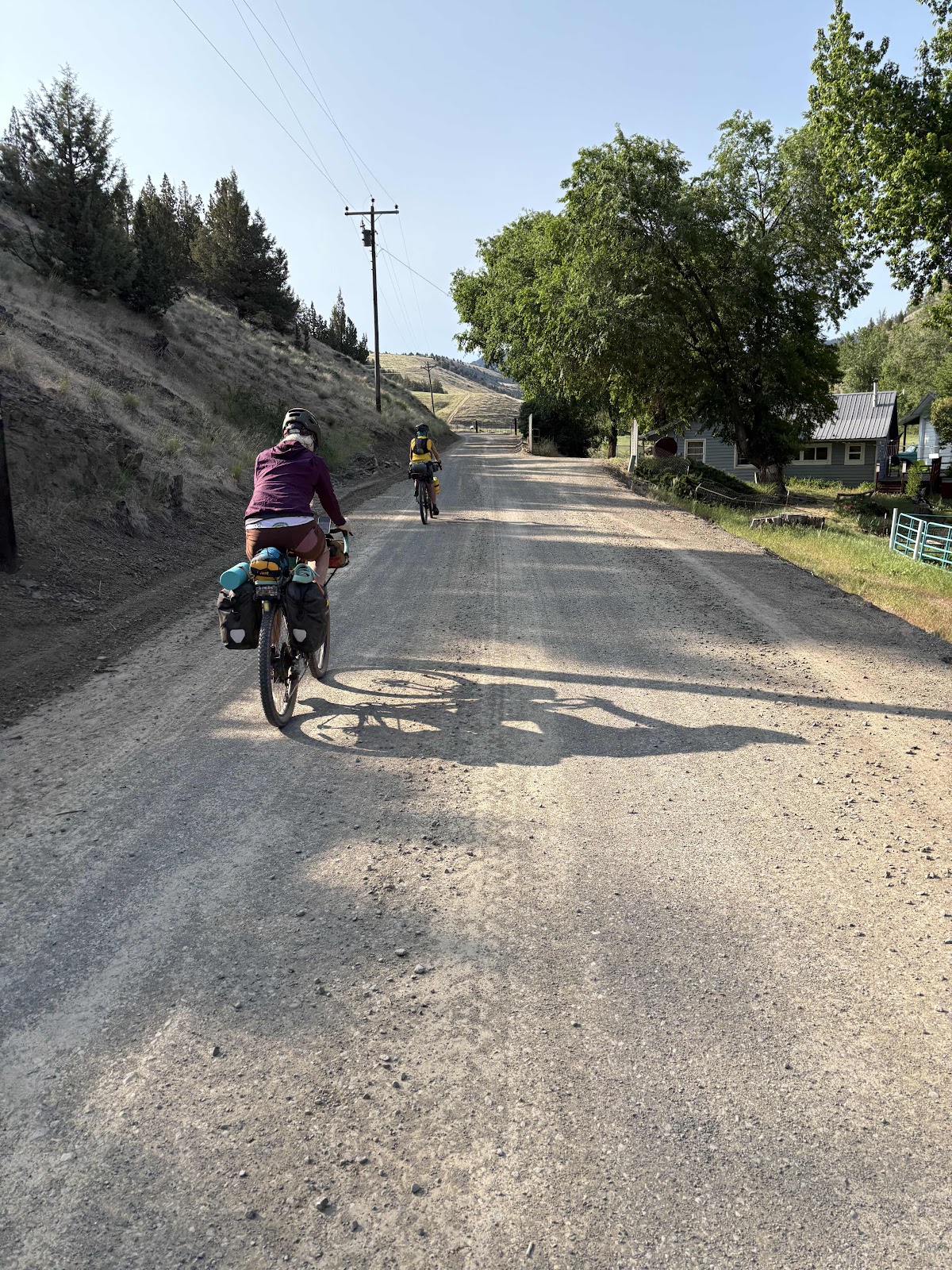
It was another chilly morning in the high country. This time I pulled out my long fingered gloves! We were a little slower getting packed up (it’s hard to get moving when you are cold).
We had a screaming good paved downhill as soon as we left the campground. Soon enough we were on the first of three climbs which warmed us up nicely.

The top of the first climb.
The next section took us down to Hwy 26 (Ochoco Hwy). That was an awesome descent, even if it was a bit scary going somewhat blind into the shade…potholes lurking and all). At the Hwy, there was a sign that said 18 miles to Mitchell (go right), and 29 miles to Prineville (to the left). So, we could have gone back to Mitchell and the Spoke ‘n Hostel, or we could take the shortcut to Prineville. We turned right. Not because we were going to Mitchell. No, we were going back over to McKay Rd to get to Prineville and my cousin’s house, the hard way.
The climb started on the Hwy, then continued on paved Forest Road 27 for a total of 6.5 miles. It was a doozy of a climb. I even turned on my music which is not something I usually do in the morning.

Ginny had found some morels a couple miles from the top.
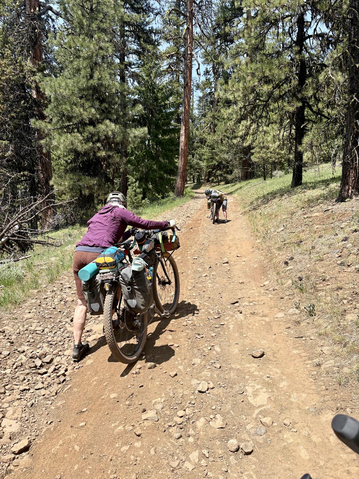
There was still a ways to go when the road turned back to gravel. It was much more narrow, and quite steep in places, but I managed to make it without pushing.
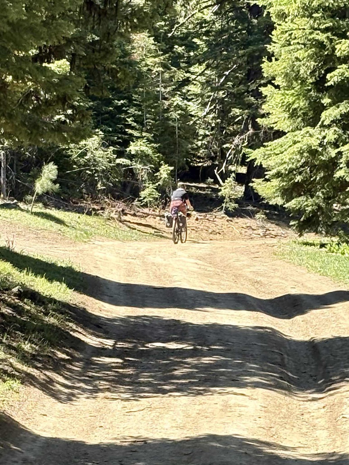
Deb continuing up.
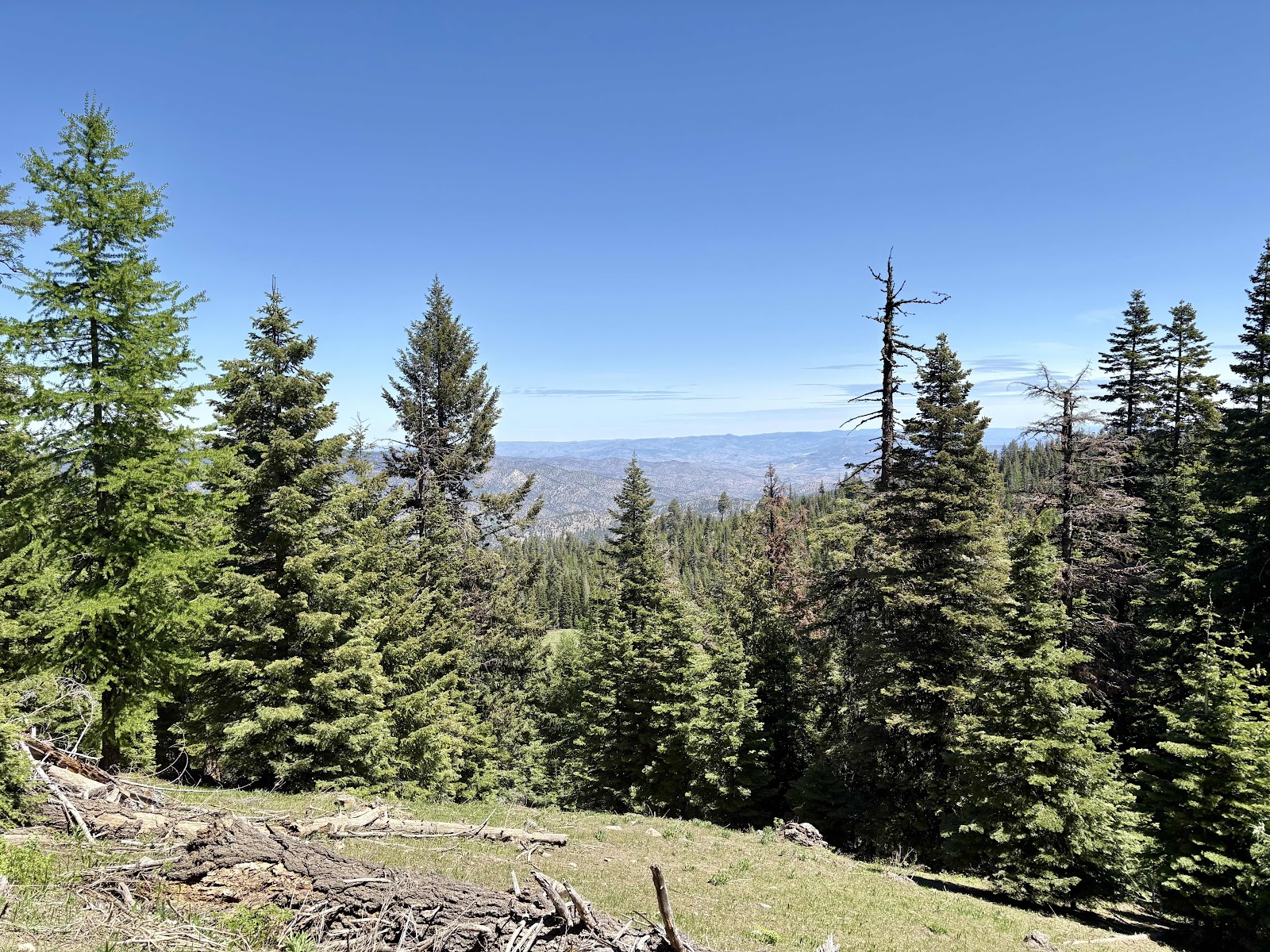
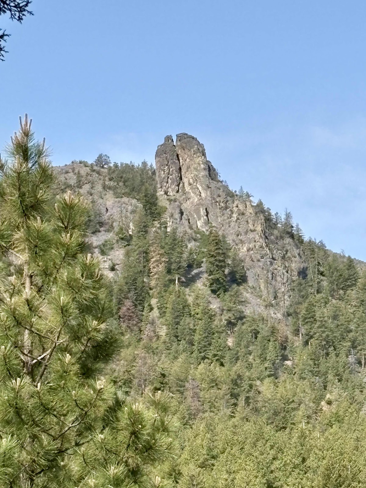
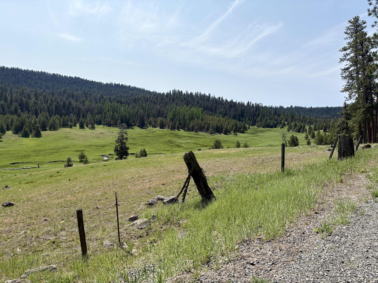
One of the few expansive views.
At the top of the climb, Deb and I stopped for lunch. Ginny and Makaela arrived later after some more successful morel hunting.
There was one more short climb (on pavement), then the long descent down to McKay Rd.

Makaela’s morel finds.

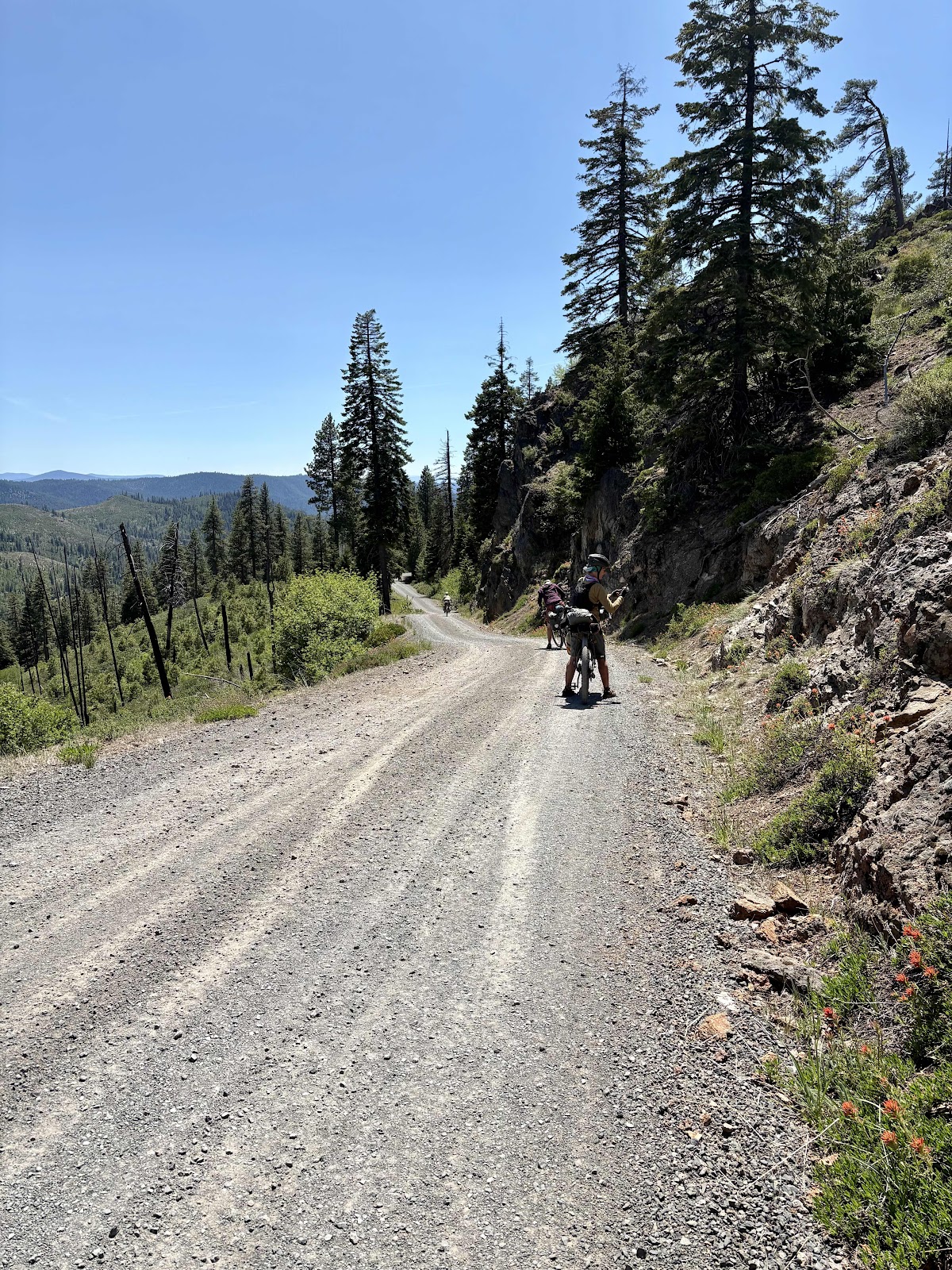
At the top of the final gravel descent.

Going down down down.

Nice view.
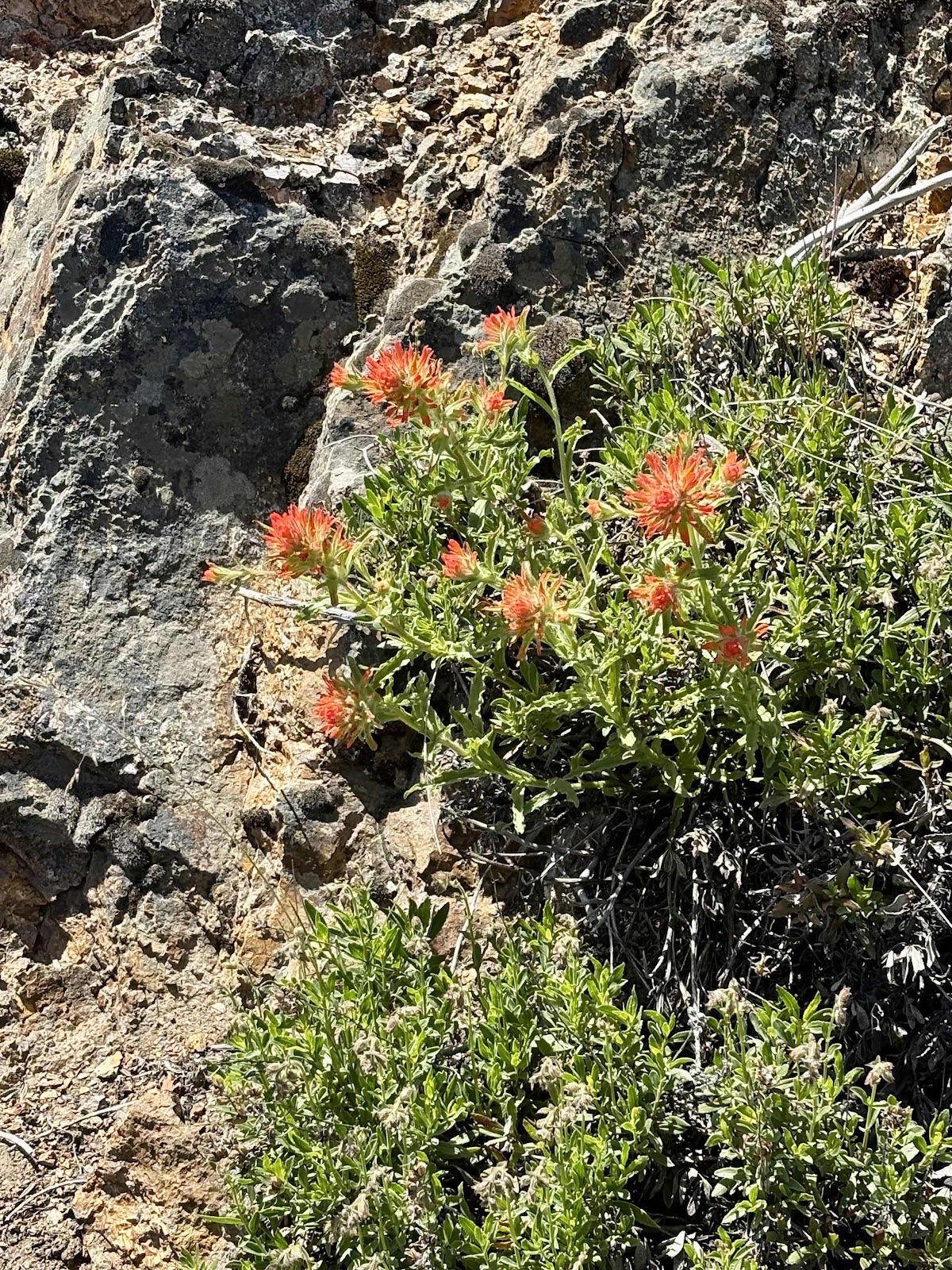
Some Indian Paintbrush growing out of the rocks.
Taking photos of the flowers.
And just like that, we were back to McKay Rd.
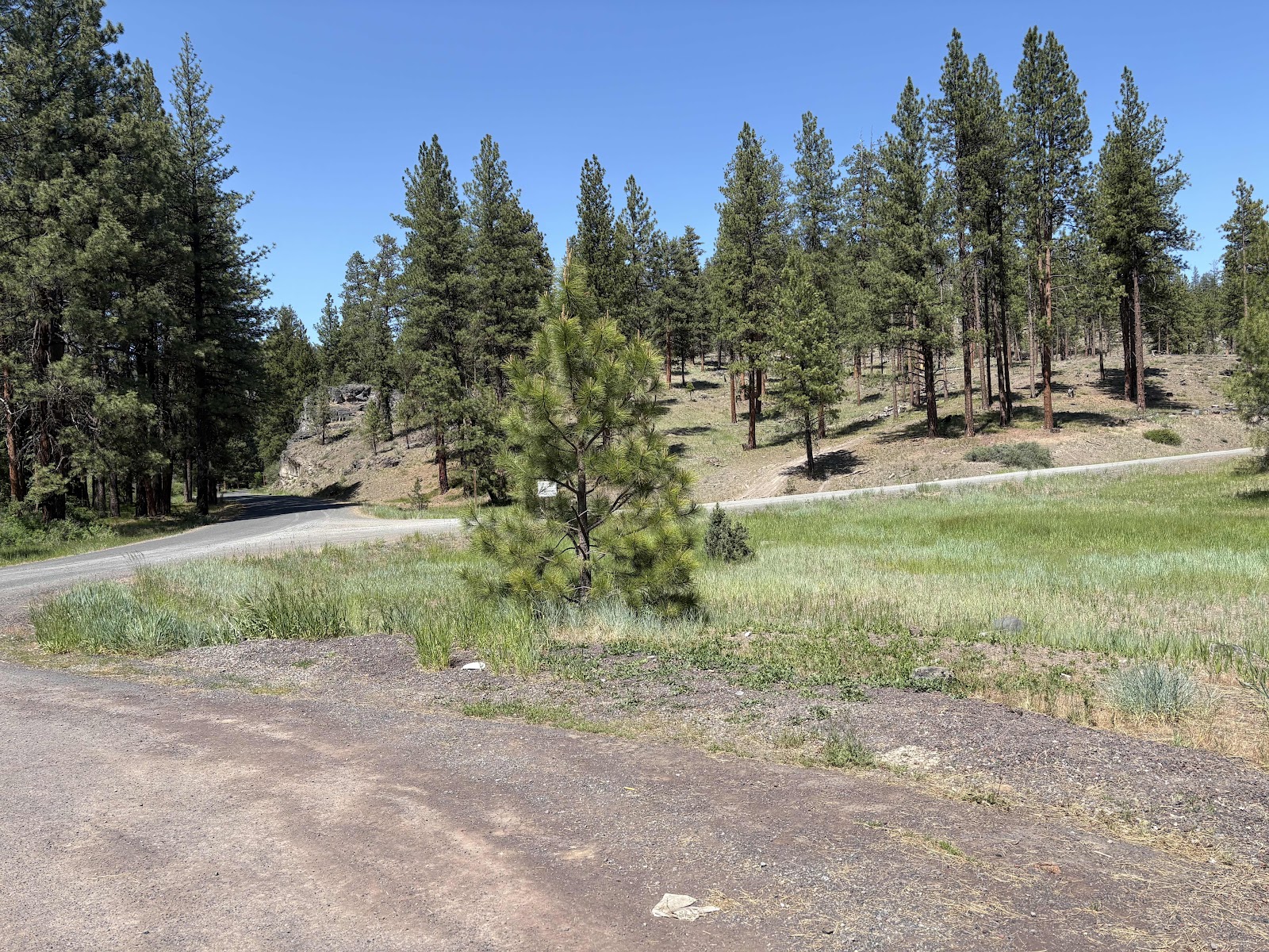
McKay to the left, and what we came down to the right.
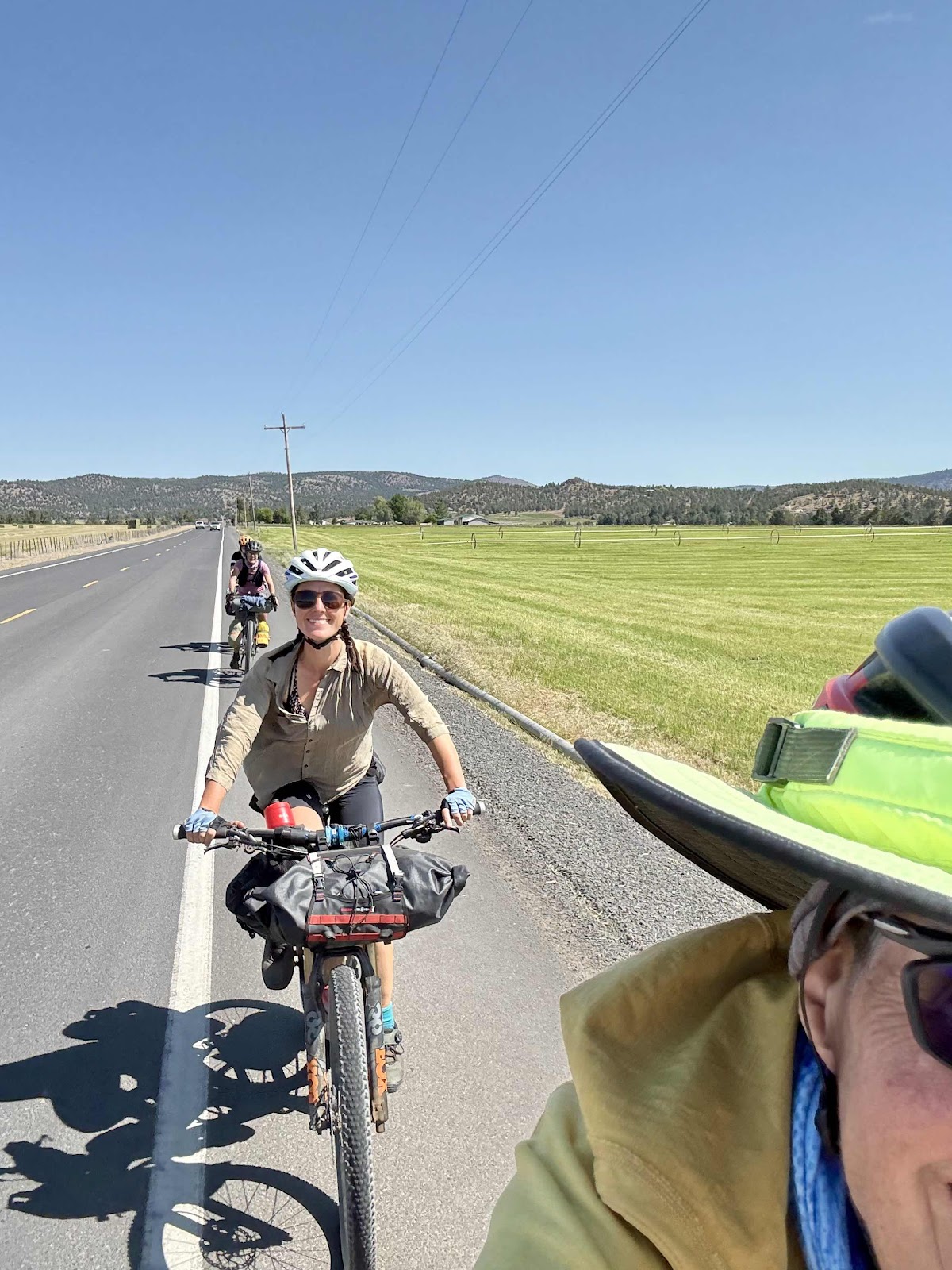
Now it was just the “stick” of this lollipop route back to Debbie and Brian’s. There was a bit of a headwind, so Makaela and I were taking turns on the front. Well, we kind of ramped up the pace (it was downhill). Before we knew it, we were back to where the road had been flooded on our way out.

Where the mud slide came from.

At least the road is open now. No 4 mile detour today!

Three Sisters in the background.
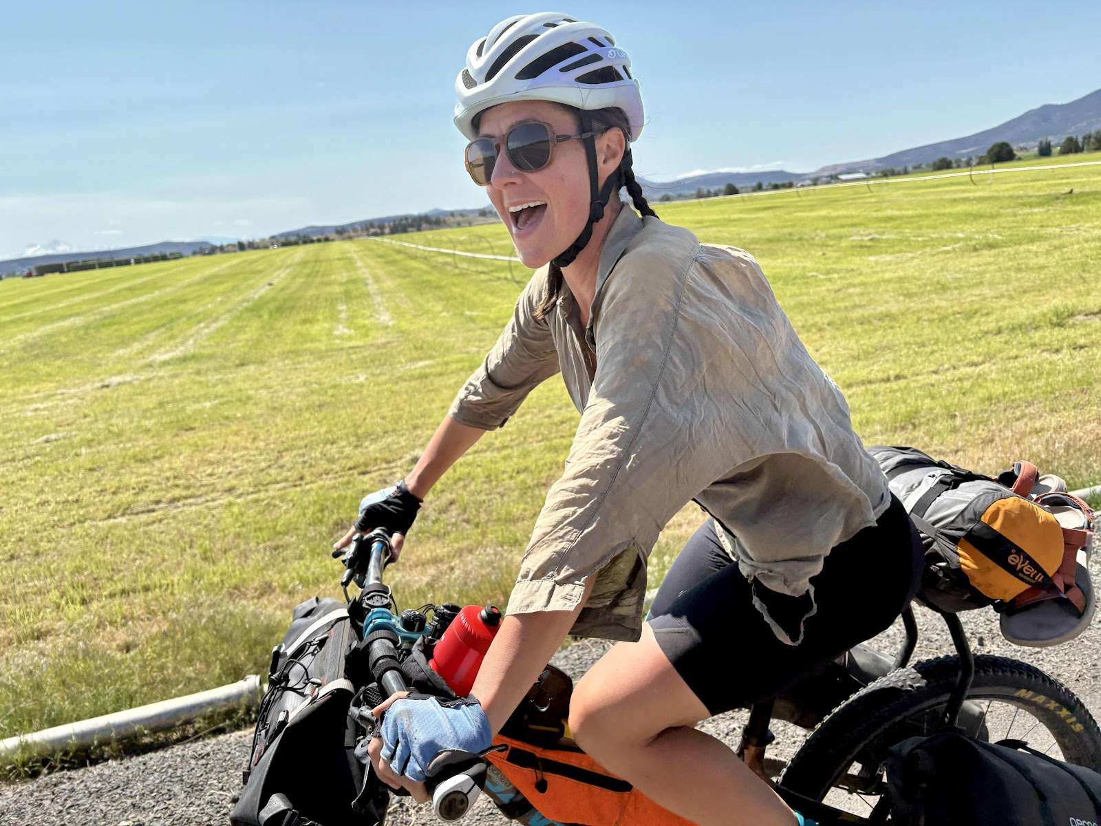
My Makaela!
Took a photo like this on Day 1. Now Day 5!

And we are back to Paradise! A little more tired, and a lot more dirty!
Debbie fixed an awesome dinner, and we finished the day with a soak in the hot tub. It doesn’t get any better than that!
I think we all really enjoyed our time on the Ochoco Overlander. I would also highly recommend the amount of time we took to do it. Day 2 is going to be tough no matter what, because there is not really any camping between Skookum Rock and Burnt Ranch (except maybe Ashwood if you happen to be able to ask Frank), but it is definitely doable. Of course, we are very lucky to have my cousins in Prineville, and I am so grateful we have been able to reconnect. Counting two times on this trip, this is the 4th time I’ve been here. I’m looking forward to the 5th time! Now, to plan another route…