Thursday, July 4, 2019

OSBT Day 27-This May Not Have Been A Good Idea

Happy 4th of July! 

Today, I started my 5th and final Oregon Scenic Bikeway, the Willamette Valley Scenic Bikeway. 


I started out today just planning to ride to Brownsville. It was only 25 miles, but the next camping option was another 65 miles in Independence. I had really wanted to be in Independence on the 4th. I thought it would be pretty cool. But, it was too far...or was it?

As I was riding to Brownsville, I got to thinking, maybe I could make it to Independence. As I rolled into Brownsville just before 11:00, the thought of hanging around Brownsville all day just didn’t appeal to me (not that’s it’s a bad town or anything, in fact, it is quite quaint). I stopped for a snack, and filled up my water bottle, then rolled on. 

The beginning of the climb before Brownsville 

I think those bees are making clover honey

It’s the Red Baron!

Just before Albany, I came to Bryant Park. I stopped for another break and potty shack opportunity. Then continued through Albany. The route goes through the historic part of town. Most places were closed for the holiday. That was okay, I didn’t have time to stop anyway. 

At 69 miles, I rolled into Jefferson. I took another break, and had a Tollhouse Ice Cream sandwich and the better part of a 32 ounce bottle of Gatorade. 

I crossed over I-5 for the fourth time with about 15 miles to go. At this point, the lady parts were beginning to express their displeasure at so much sitting on the saddle (the heat didn’t help). I started standing to pedal quite a bit. 

There were a few uphills which actually felt better as they changed the position I was sitting (most of the day had been pretty flat except for one climb just before Brownsville). 

I was seriously counting down the miles...5...4...3...2...and finally I was crossing the bridge into Independence. I have camped at the “Bicycle Campground“ before, but I had no memory of what it looked like until I saw the park. 

As you might imagine, the town of Independence, even though it is quite small, does a rather extravagant 4th of July. 

They even paint stars on the grass!

When I saw the extent of the celebration, I started to get the tiniest bit worried. 


I asked at the Police booth where the bike camping was. Well...turns out the carnival rides are smack in the middle of the bike camping area! Now, if I had ridden the 65 miles like I had originally planned, and it was the 4th, I would have probably just ridden on to Salem. However, I had ridden 90 miles, and I could barely sit on the saddle. So, what did I do? I followed the road down to the river. I thought, maybe I could just Camp by the river. Yeah...that wasn’t going to work (rocky and muddy). Then I saw a trail that went up to what I figured was the other end of the bike camping area, and maybe the end of the carnival rides. Problem was, the trail was very steep. As I was checking it out, a group of about 5, maybe late teens/very early 20s, guys came walking on the trail. I quickly asked if they could help me. I told them I what I was hoping to do. One guy went up and checked to see if we could get through, and two other guys grabbed Tilmann and muscled him up the hill (no small feat). Now, these guys were not your “clean-cut” dudes, yet they immediately jumped to my aid. Without them, I could not have got Tilmann up the hill (even if I took the bags off). I offered to give them a gratuity, but they refused saying only, “Happy 4th of July”!

Sure enough, I came out at the end of the carnival rides, and there were a couple of carnival workers tents. Okay, I thought, I’ll just make like I’m a carnival worker! 


I parked Tilmann, changed out of my bike pants and shorts (this is where the skirt comes in real handy), locked Tilmann and my handlebar bag, grabbed my phone and wallet, and hit the Midway. Well, first I had to figure out how to get to the other side of the fences. No problem, I found an opening, and blended into the crowd. 

I went in search of some food (uh, not hard to find). I sat at the park and ate some pizza and an elephant ear (of course, who goes to a carnival and doesn’t have an elephant ear?), and listened to some music (some old has-been bunch of dudes). Then I walked back through the Midway, through the sly dog opening in the fence, and back to Tilmann. 


I was making my plan of where to set up my tent when I noticed one of the workers at one of the tents. I went over to him, and told him my situation. I asked if he thought it’d be okay for me to set up my tent and make like I was part of the carnival. He told me sure, and that no one would mess with me or my stuff, although they don’t get off until midnight, and they don’t go to bed until about 2:00, and that they might be a little noisy. I told him that was not a problem for me (I have ear plugs). I asked his name (Paul) and told him mine. A few minutes later as I was setting up my tent, he came over and gave me an Employee Gate Pass, so I could go out and come back in at least once. 


There are fireworks at 10:00, which is in an hour. I’m starting to feel the effects of my 90 mile day. I don’t know if I’ll be able to stay awake long enough. 

One thing is for sure, this may not have been a good idea, but it will definitely go down as my most memorable 4th of July!


Wednesday, July 3, 2019

OSBT Day 26-Made it to the Beginning of my last Scenic Bikeway

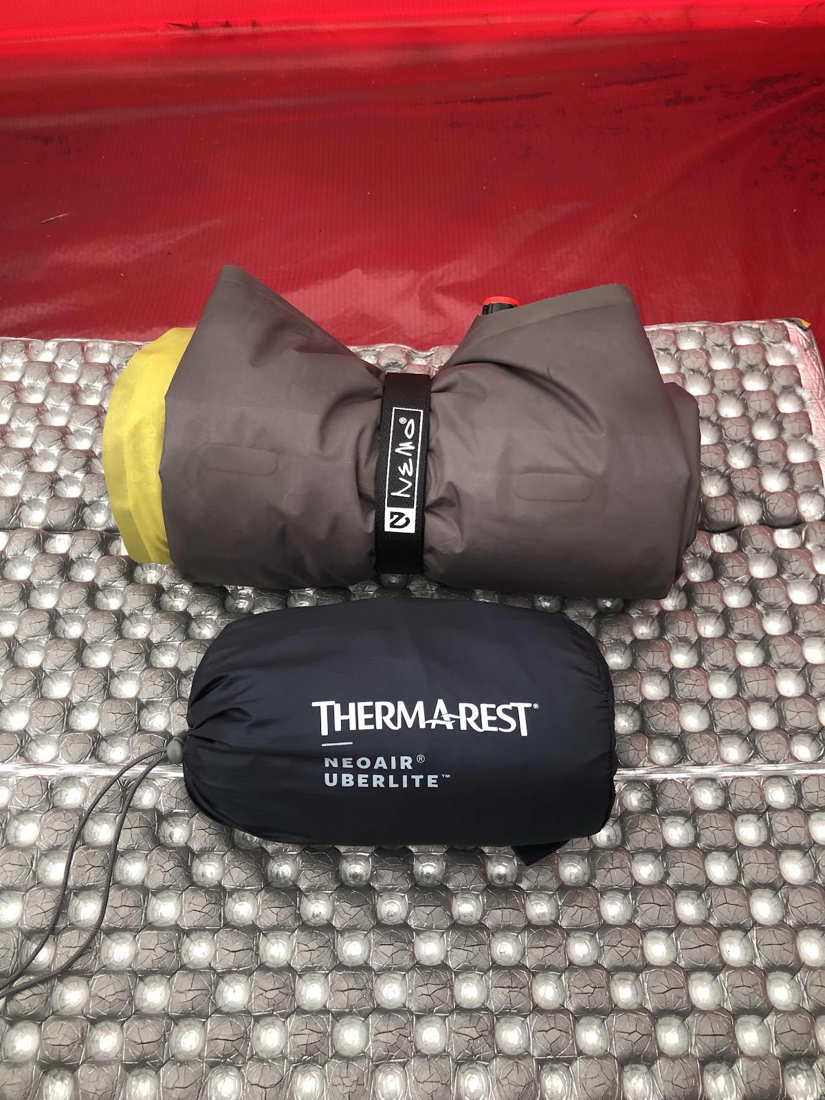
Last night I slept on the Thermarest Neo Air Uberlite. It was pretty comfy. I would still like it in the 25” width I stead of 20”, but it looks like they don’t make it in the regular length and the wider width, anyway here’s a photo of my Nemo pad and the Thermarest. 
Quite a difference. 

I gave the pad back to Brian, and said my goodbyes. We’ll keep in touch via email. 

I got on the road at my usual 8:00. Today’s ride was mostly continuing downhill toward Eugene along the McKenzie River. The shoulder varied in width; sometimes nice and wide, sometimes not so much. 

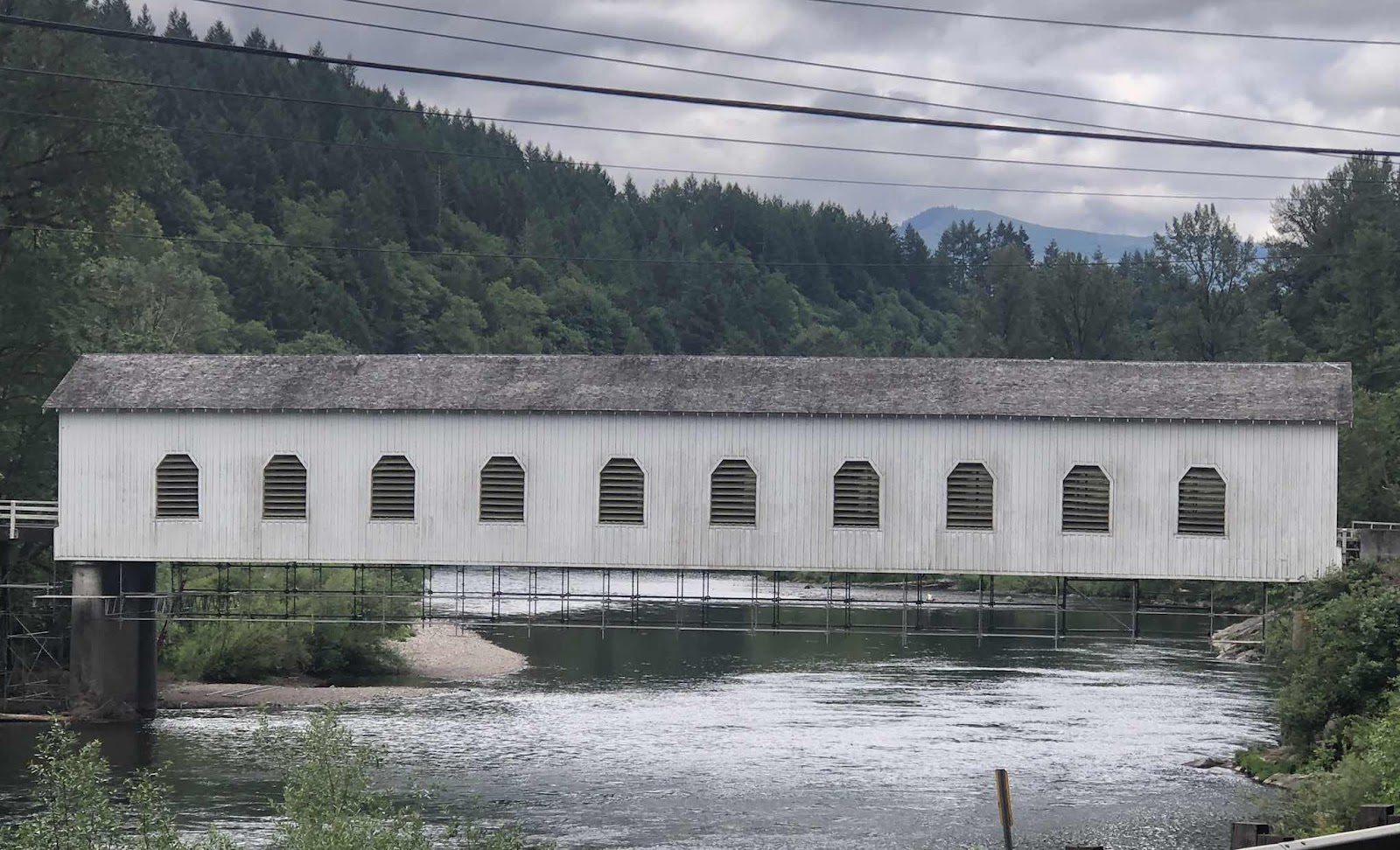
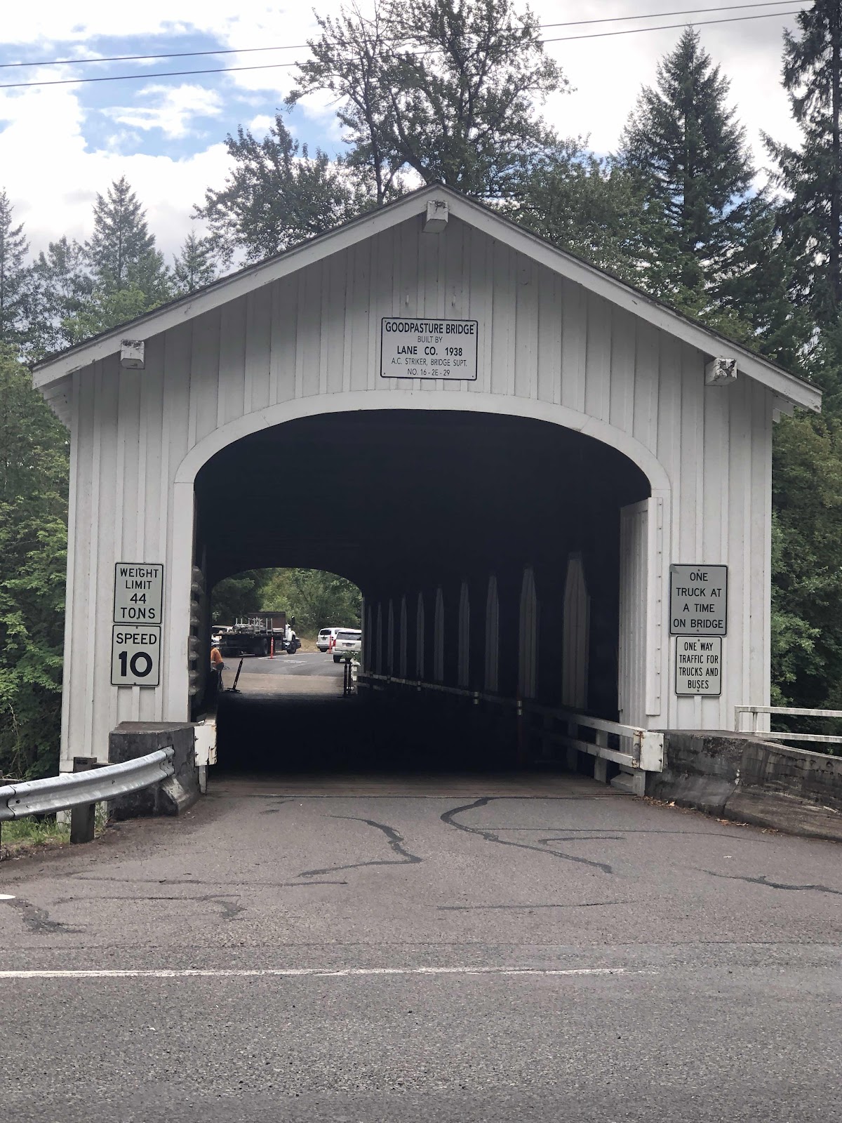
I stopped in Vida for a snack around 10:00, then continued on. I went by the Goodpasture Covered Bridge. 


Last time I rode across it. This time I just took the photos. 

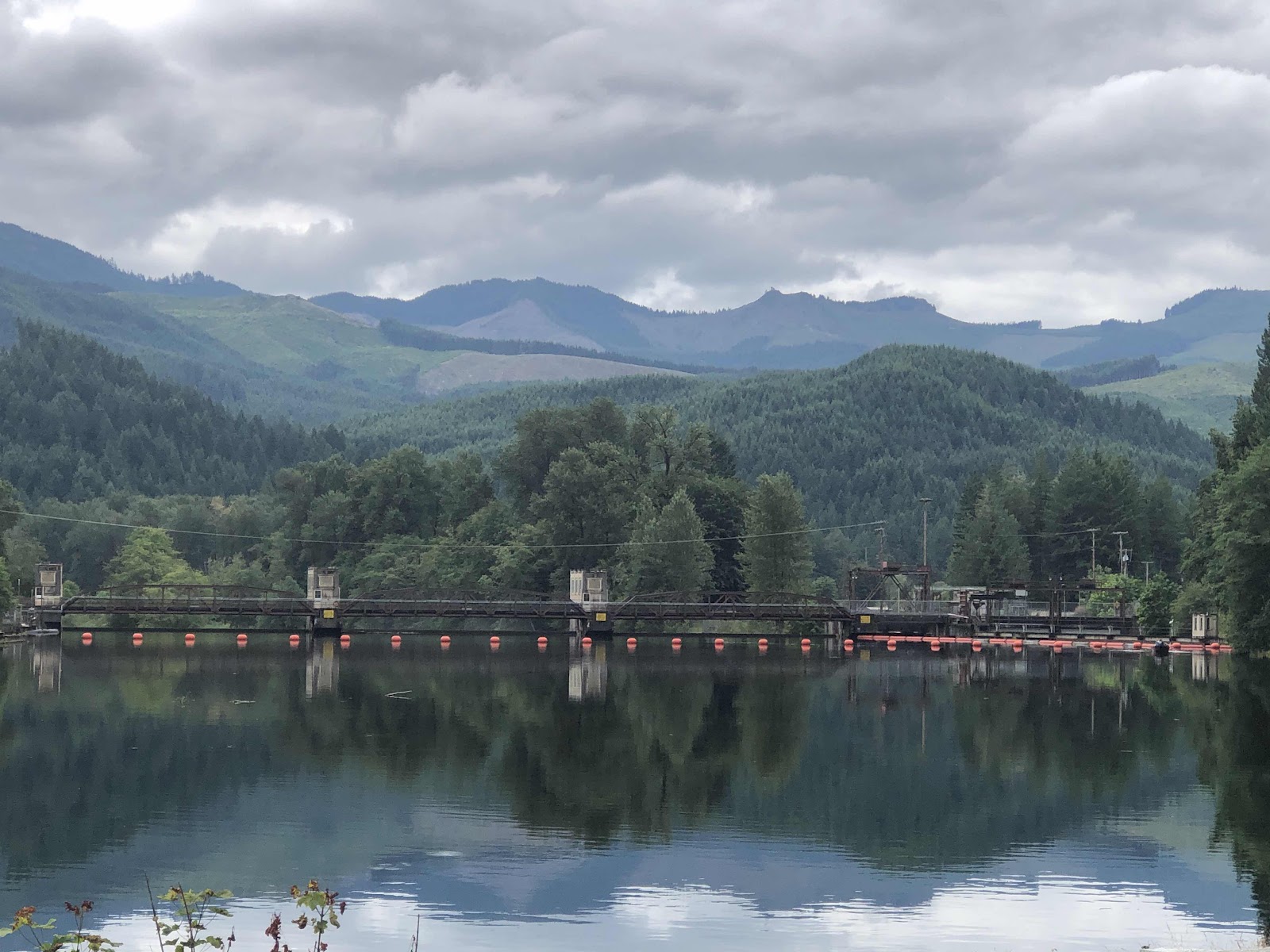
I also rode by this...dam?

Still a lot of hills. 

I had taken a photo of the section of map (Trans Am) that Ken had. Adventure Cycling routes to Armitage from a backroad that I turned onto in Walterville. It was nice to get off the highway before coming into busy Springfield, then Eugene. 

At 51 miles (almost exactly the same as yesterday), I arrive red at Armitage County Park. The office sign said they were full, but there is a place for cyclists it costs $20! Sheesh! Shower was good though. They also have laundry, but I don’t need do do laundry again just yet. 

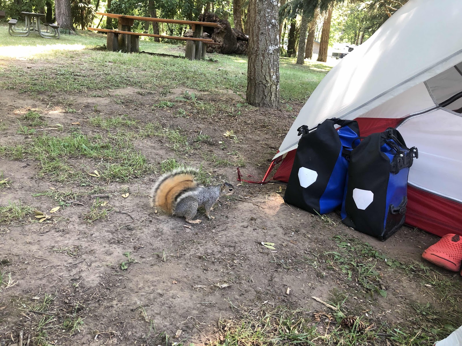
I went to check on some charging I was doing. When I got back, this fella was mighty close to my food panniers. 

Look! Portrait mode even works for critters!

It scampered up the tree, but was soon back. 

Me thinks I’ll be putting the bags in my tent should I happen to leave them unattended. 

Tomorrow, I start the final Scenic Bikeway...Willamette Valley. I had hoped to make it to Independence on the 4th of July, but I’ll have to settle for Brownsville. 


OSBT Day 25-Old Mackenzie Pass Scenic Bikeway #4

After I posted yesterday’s blog, I met Ken. I was walking to the other end of town for some groceries, and he was walking his bike toward the campground. We talked briefly, then said we’d see each other at the campground. I had decided I was going to eat dinner at the Hops and Brew Pub which was close to the campground. When I got back from grocery shopping, Ken had his tent set up, and it was the same as mine. He asked how I got the things on the end to stick out (the vents) I showed him, and then he said he was going to go get something to eat. I asked him if he’d like to dine together, so we went to the pub and had dinner. 

Back at the campground, we met Patrick who is from Germany, and thru hiking the PCT. There was another couple also doing the PCT, but I didn’t talk to them until this morning at the bakery as I was leaving town. There was another cyclist, but he kept to himself. So, the Creekside Campground Hiker/Biker area was pretty busy! 
This morning was interesting in that everyone was up and packing up at the same time. Usually there is at least one person still asleep in their tent. Patrick was hitching back to where he got off trail at Old Mackenzie, and the other hiker couple were headed to Santiam. 

Ken was headed back to Eugene. He was just doing a three day tour from Eugene to Sisters and back, so climbing Old Mackenzie in both directions (and descending too). 

I left about 15 minutes before him, but I was stopping at the bakery for one last time. I caught up to him a couple miles up the road. He kept telling me he was slow, and after awhile he said he was going to slow down a bit to pace himself. I got ahead of him, but when I stopped to take my sleeves off my vest, he caught up pretty quickly. We ended up riding pretty close to each other the entire 15 miles to the top of the Pass. I stopped now and then to take a couple of photos. 

There was a fire 2 years ago, so now a “stick forest”. 

Here comes Ken!

Windy Point (yes, it was windy...and cold...I put my sleeves back on).

A narrow bend through the lava. 

The road actually leveled out a bit, then threw in one last kicker for the last quarter mile. We arrived at 10:30. 

Summit sign, Tilmann, the Dee Wright Observatory, and Ken (the tiny yellow dot). 

I, of course had to walk to the top of the Observatory. 


Hi Ken and Tilmann!

If it was a clear day, these are all the mountains one could see. 

Not a clear day. 

A nice lady took my picture. 

Another nice lady took a photo of Ken and I. 

I put my hoody on for the descent, but I forgot to close up my pannier. As a started riding, there was this weird sound when I shifted. Sometimes if I don’t stop pedaling enough, the gears will make a nasty sound. I thought that’s what it was, but then Ken said the strap was hanging down. Oops...

It was an 18 mile, mostly descending, ride down. At one point I stopped to take this photo,

and unfortunately ended up behind a car. On the bike, I can take the corners much faster than a car. I was having to brake so as not to run into the car. Finally, the car pulled over and let me go by. I waved a thank you. 

Ken caught up to me as I had stopped to take off my hoody just before the turn onto Hwy 126. He said he wanted to buy me lunch at Mackenzie Bridge about 7 more miles. Well, we pulled up to the restaurant, and it was closed (Mondays and Tuesdays). Ken said there was another restaurant not far (in Rainbow), so we went there. It was pretty good. I had a turkey, with Marion berry preserves, cream cheese, tomato and lettuce on a focaccia, and some tots. 

When we left the restaurant, it was about 2:00. If I was going to ride all the way to Armitage County Park, it was going to be another 55 miles. I was a bit nervous about doing  a 93 mile day even with there being a lot of downhill. There was enough of a headwind to slow us down. The only place I knew of to camp was Blue River Reservoir. When we came to the turn, I told Ken I thought it was a better idea for me to camp there, than to try to make it to Armitage. So, we said our goodbyes. I really enjoyed riding with him. 

It was 4 miles to the campground, with about half of it uphill. Still, I’m glad I made the decision to come here. 


It’s a Forest Service campground, so $15, but that’s okay. 

As I was starting to write this, a guy pulled up and waved me over to his truck. He said he liked my tent. Turns out he’s the sales rep for Cascade Designs which sells MSR products (and other things like Platypus and Therm-a-Rest). He gave me his card and said to shoot him an email and he would give me a code for 30% off any MSR product! 

He said he is camping here, and I told him about the next site over (which I would have taken if I’d noticed it wasn’t reserved until the 4th). He went there, then drove back by my campsite and said he had to run back into Blue River because he didn’t have any cash. He asked if I wanted anything like pizza or ice cream. He’s bringing me some ice cream!!! 

All in all, it was a great day, and a great choice to come here!

Update: Ice Cream was great! Brian and I got to talking. I told him I was going to thru-hike the AT next year. He did it 11 years ago. We were talking gear (of course we were because well...I love gear, and he sells gear!), and specifically sleeping pads. I said I like my Nemo Tensor, but it is a long, and I don’t really need the long (and the extra weight). He goes to his truck and pulls out a brand new Thermarest Uber Lite and says to give it a try tonight. The thing is practically weightless! I inflated it, and laid on it. First impression is that it seems pretty comfortable. It’s narrow, though. He said for the AT, I would probably prefer the Neo Air X-Lite (more insulation). They make it in a regular length, but wide. There’s also a new one way/two way valve combo coming out. 

I’m going to go join him later at his campfire, we can talk more hiking and gear. 


Monday, July 1, 2019

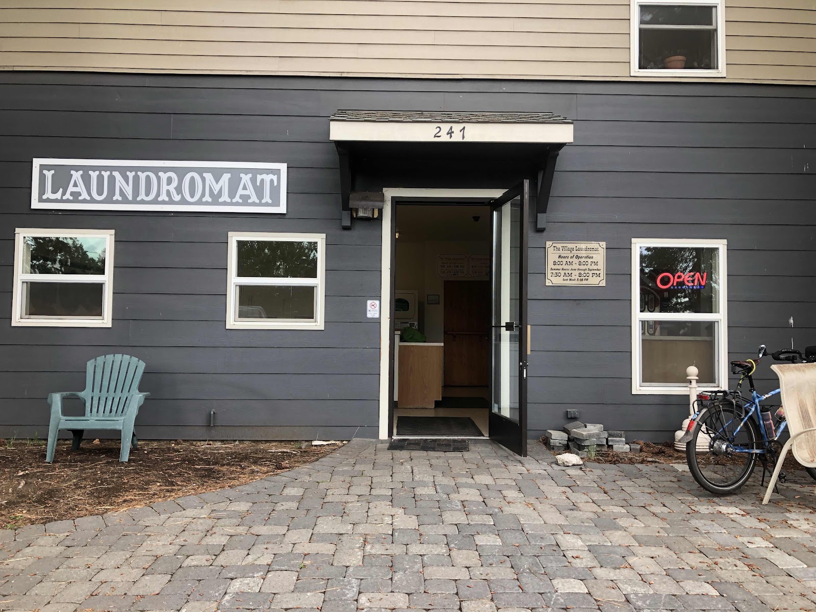
OSBT Day 24-Back to Sisters and a Much Needed Laundromat

Although it rained a bit last night, things were dry this morning. It was to be short lived, however, as it was supposed to start raining by 4:00 at Smith Rock, but 1:00 in Sisters. I had already decided to take the shorter way back to Sisters, but this just reinforced my decision. I was on the road about 8:00. It would be 28 miles vs 37 via the Scenic Bikeway. 

My route called for riding on Hwy 97 to Redmond, then getting on 126 to Sisters. Even though 97 was a pretty busy highway, there was an actual bike lane the entire way. I stopped briefly in Redmond at a park to use the restroom, then continued on. It had already been sprinkling a little, so I didn’t want to waste any time. 

I arrived in Sisters at about 11:00. I went to Creekside Campground which is pretty much right in town, and has a Hiker/Biker area for $5.00. Since I found a five dollar bill on the trail yesterday, I looked at it as a free night of camping. Showers are a buck, but that’s okay. 

The rain had let up for the majority of the ride, but just as I got my tent set up, it started to rain again. Besides beating the rain, my main priority for the day was to do my laundry. Other than doing a bit of handwashing, I hadn’t done full scale laundry since Brookings over a week ago. Yikes, it was time! I filled one of my dry sacks with all my dirty clothes (wore my swimsuit bottoms and my one clean shirt under my rain gear), and headed to the laundromat. 


While my clothes were returning to cleanliness, I walked over to the same bakery I’d been to yesterday. The selection wasn’t as great, as it was a little later than when I was there before, but there was some yummy goodness to be had. I took my treats to a park by the laundromat. 

Clothes all clean (nothing like clean laundry!!!), I returned to the park and took a shower. Now I’m sitting in a different cafe/bakery having a snack while on my way to get a few groceries. 

It has continued to rain off and on. Weather says it’s supposed to stop by 7:15 tonight. Tomorrow is supposed to be a good day, with temps in the mid 70s. I’ll be heading up and over Old Mackenzie Pass and Scenic Bikeway #4. 

Sorry there aren’t more photos, but the views today were the same as they’ve been the last few days. 

OSBT Day 23-Scenic Bikeway #3-Sisters to Smith Rock

Whew! That was quite a thunderstorm last night! It was a shame because another cyclist rolled in just before it started to rain, and it was a woman too! Her name was Monica. We only got to talk briefly before we had to retreat to our tents. By the time the storm was over, I was ready to fall asleep. I did get to talk to her a little before I left this morning. 

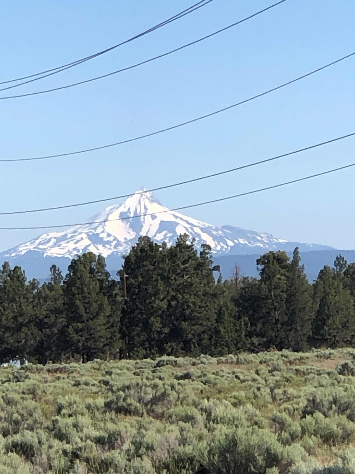
The ride to Sisters was just view after view of the mountains I’ve been seeing. I did get to add Mt. Jefferson to the mix. So I was seeing Tumalo, Broken Top, the Three Sisters, Mt. Washington, and Mt. Jefferson. There were also some other peaks that, I’m sure have names, but I don’t know them. 

Mt. Jefferson 

In Sisters, I first rode to the park where the Scenic Bikeway begins. Then I decided to find a bakery. Easily done. I got an apple fritter that was bigger than my hand with my fingers splayed out (and I have long fingers)! It was so big, I couldn’t eat the whole thing. I saved about half for later. 

The actual Sisters to Smith Rock Scenic Bikeway was fine, but nothing I haven’t seen. It trended down, but there were still some pretty good ups too. There was just one town, Terrabonne, and that was just 4 miles from Smith Rock. I stopped there for some lunch. I had a huge chef salad and some tots. It was good I only had to ride 4 more miles!

I arrived at Smith Rock State Park around 2:00. The camping situation is pretty interesting. It is tent only. There is no assigned sites, just a big area called the Bivouac Area. There are quite a few people here. I found a nice little spot with a tiny bit of shade (it was quite toasty here). My tent was soaking wet from last night’s rain, but almost as soon as I got it set up, it was dry (unfortunately, as I am writing this at 9:30pm, it has begun to rain). Once everything was set up, I took off for a hike. I looked at the trail map, and decided I should probably do just the easy to more difficult rated trails. I hiked the Rimrock trail from the campground over to the day use area and the rest of the trails. There were some pretty great views. 


Next, I was going to hike the River Trail, but when I crossed the bridge, and saw all these people going up the Misery Ridge (rated Most Difficult) Trail, I decided if some of them could do it, I could too. 

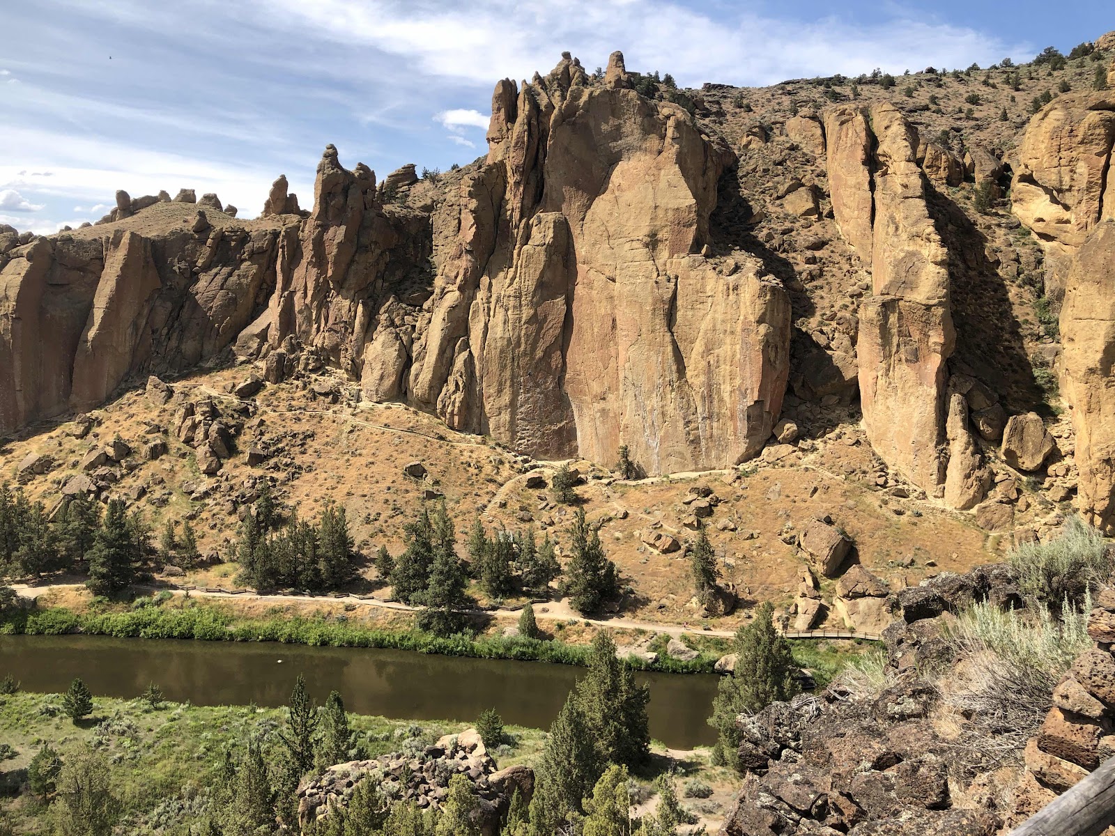
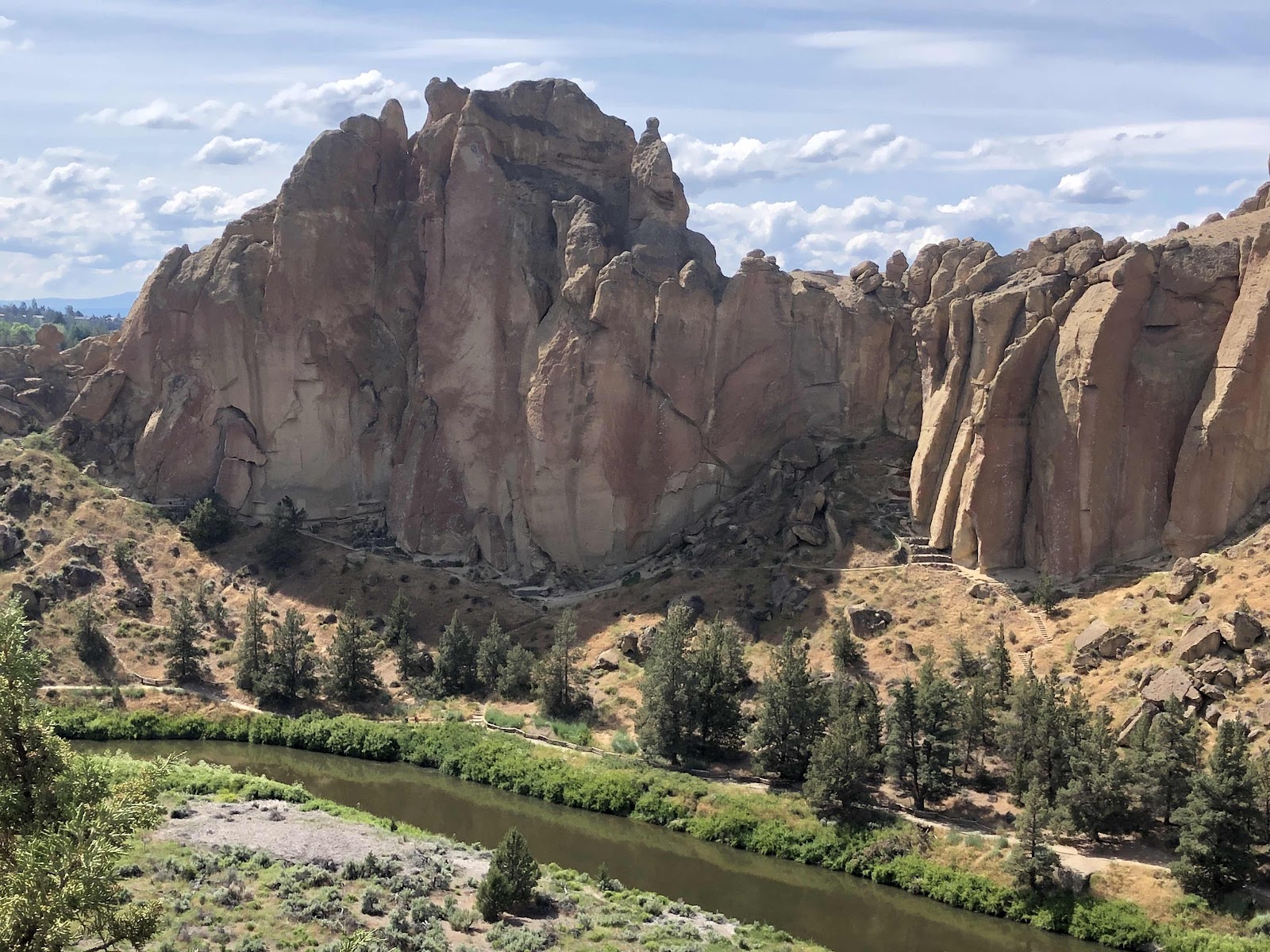
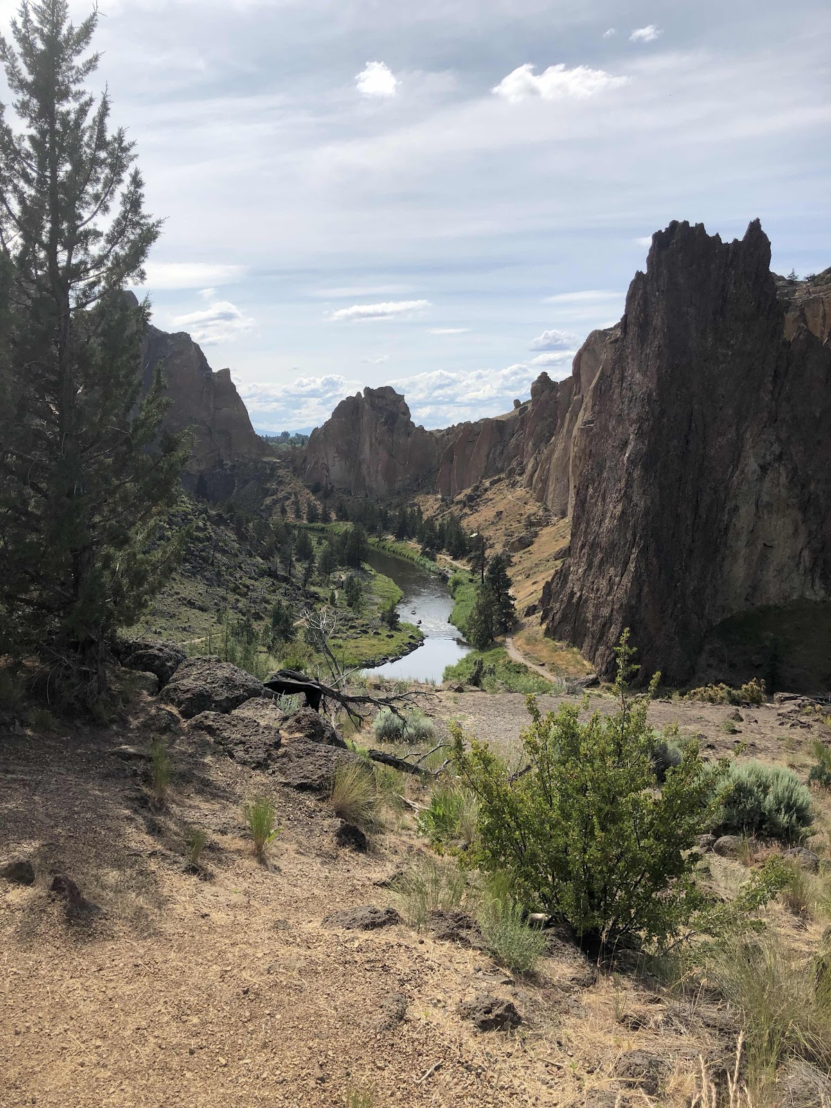
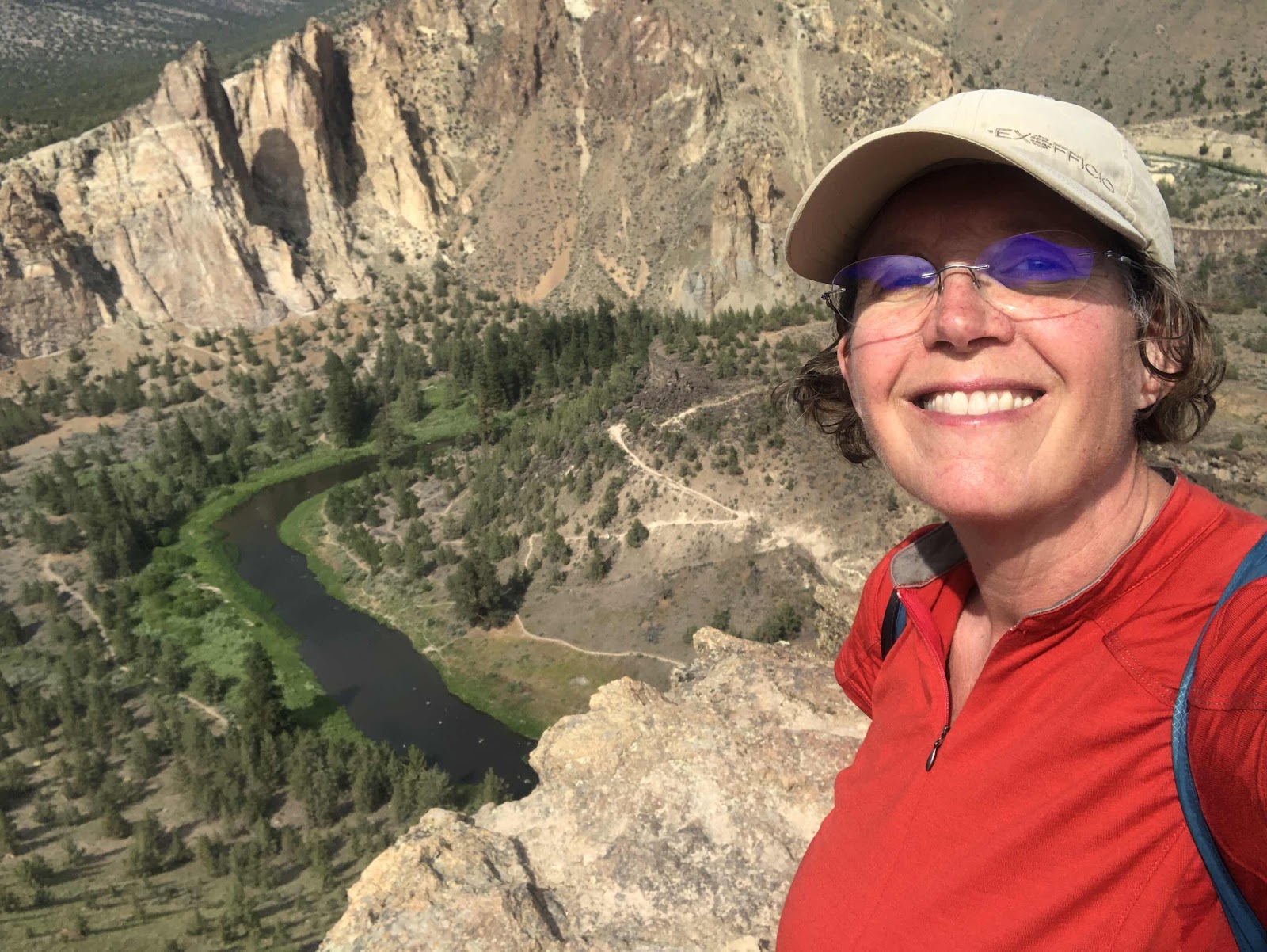
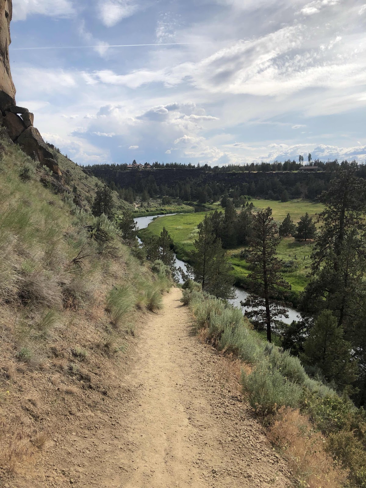
Let me just say, it was amazing. I climbed higher and higher. The views got more spectacular with every step!


At last I reached the top. 

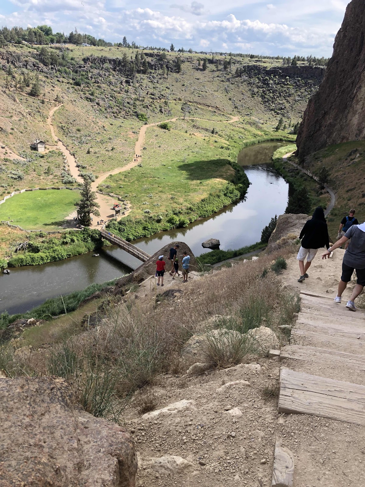
That’s right, I had crossed the river down below!

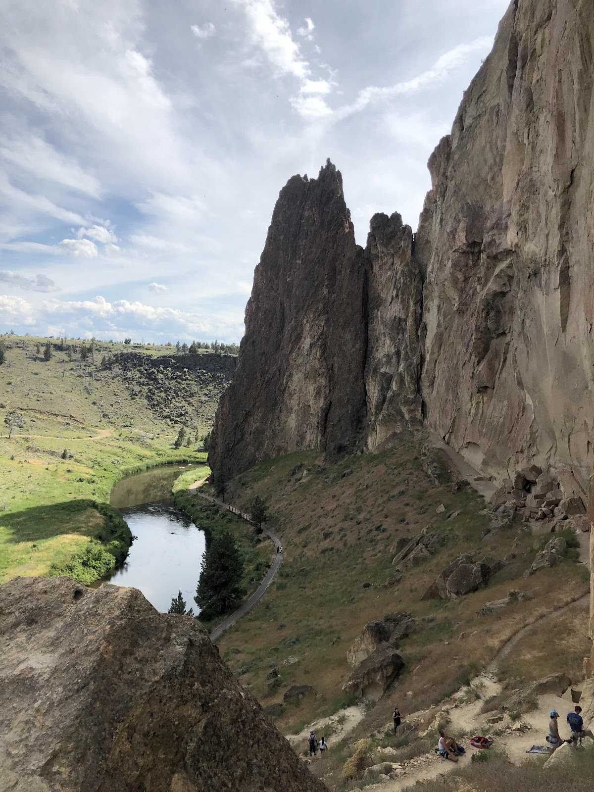
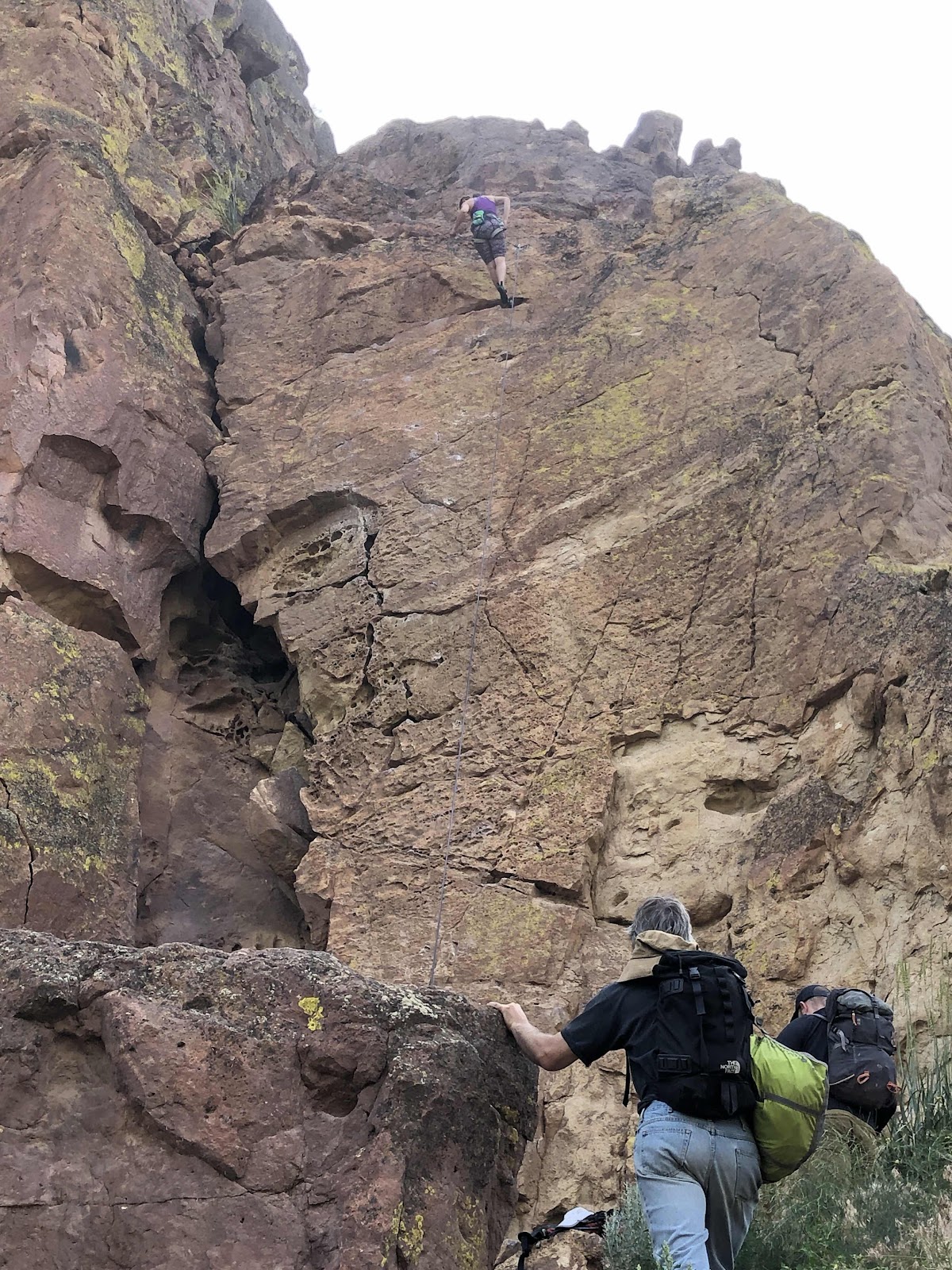
The descent down the other side was steep, but no stairs. I was very careful to not slip. There were lots of climbers on several parts of the rock. It looked mighty scary to me. 


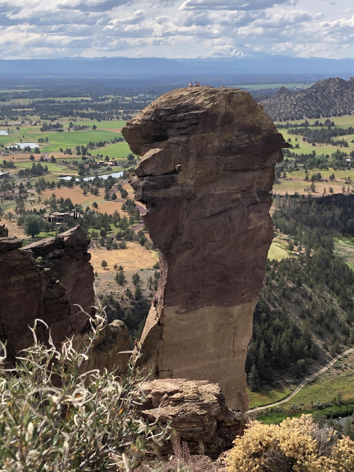
See the people on top? Yeah, there’s no trail to get there!

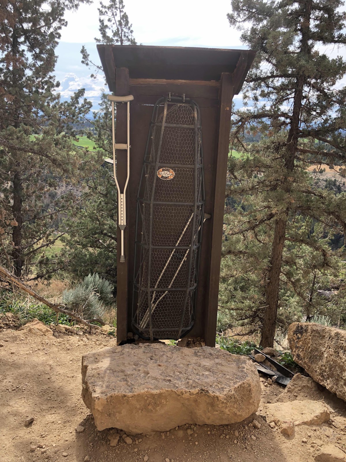
See the guy in the middle of the photo?

I’d say there is some danger involved if you’ve got to have something like this. 

The Misery Ridge Trail came down to the Mesa Verde Trail, and then down to the River Trail. 


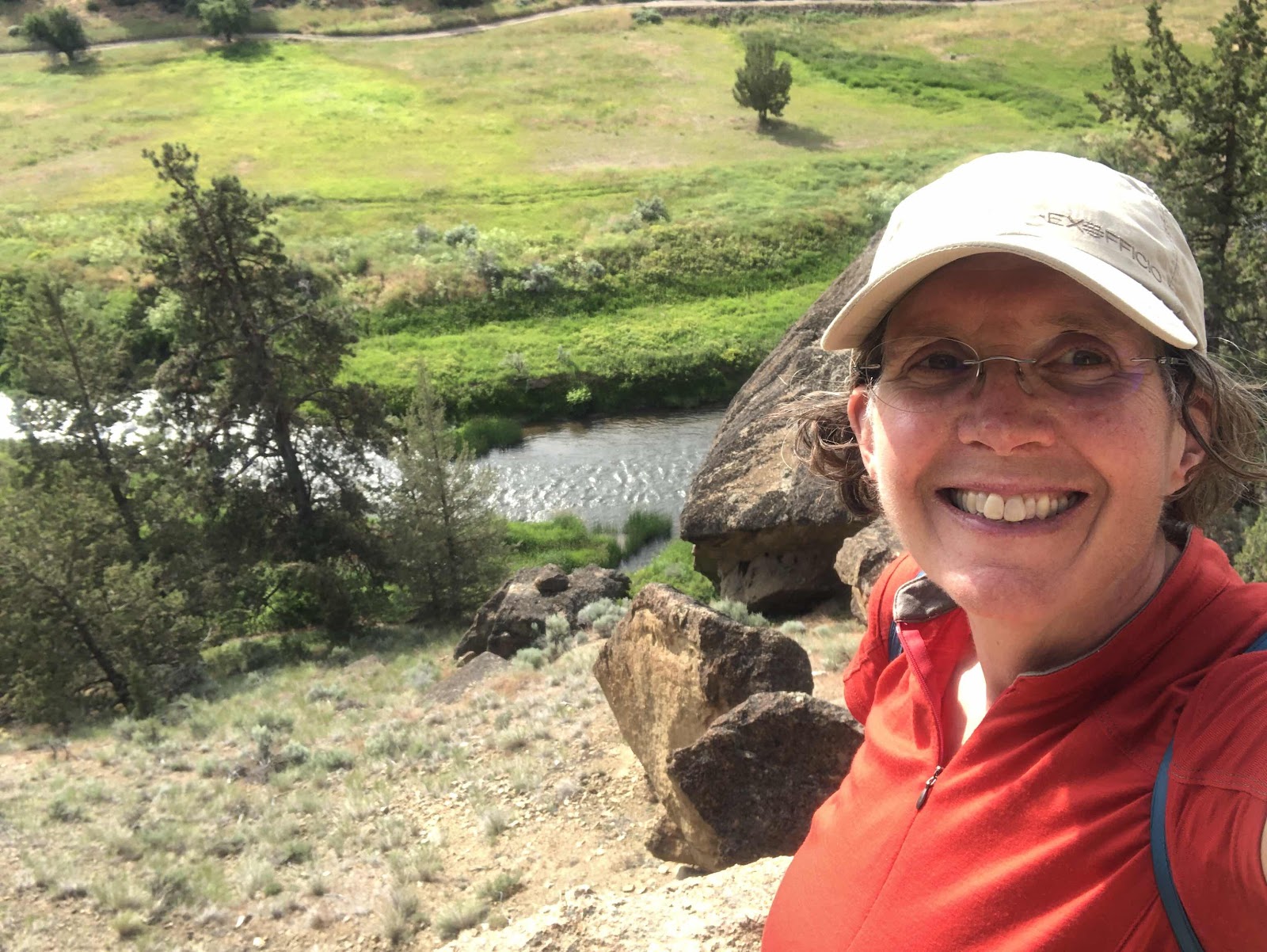
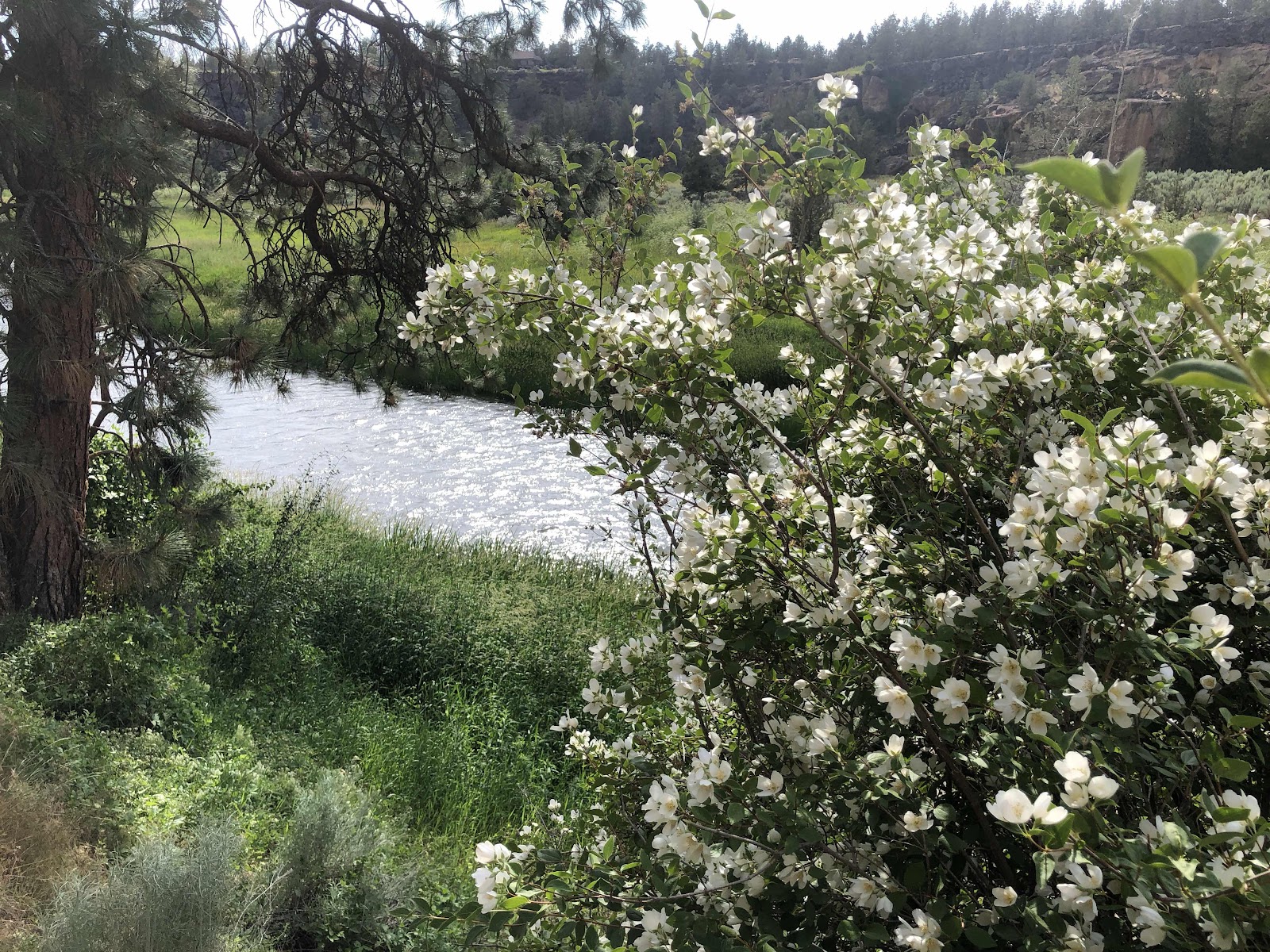
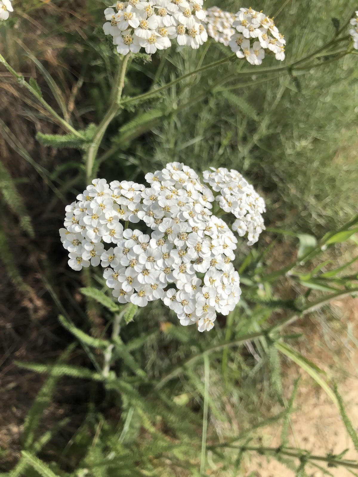
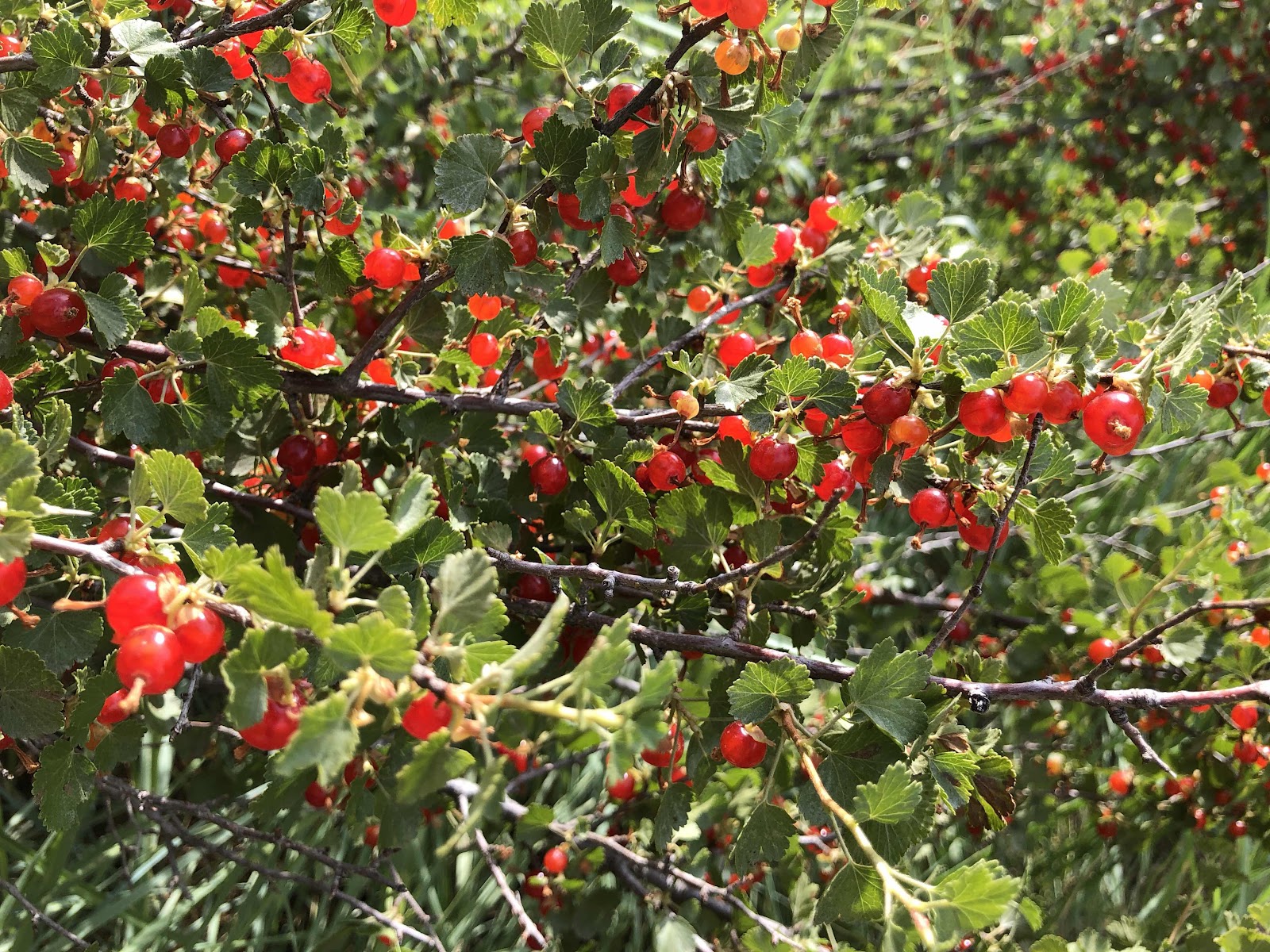
Down along the River there were some pretty flowers. 


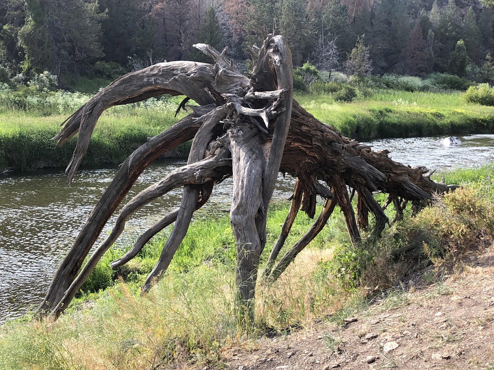
Okay, not a flower, but a cool looking dead tree. 

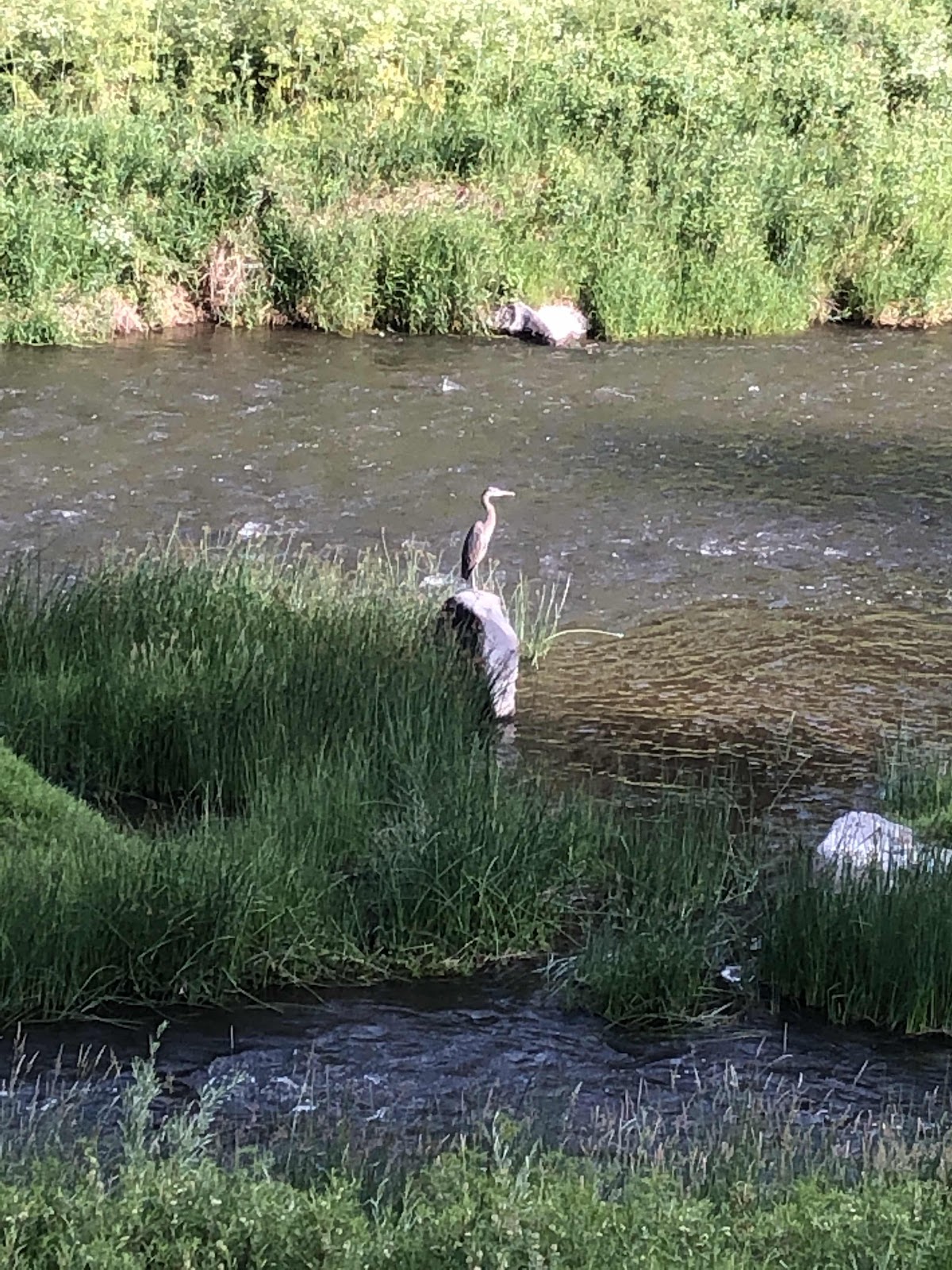
There was also some wildlife. 


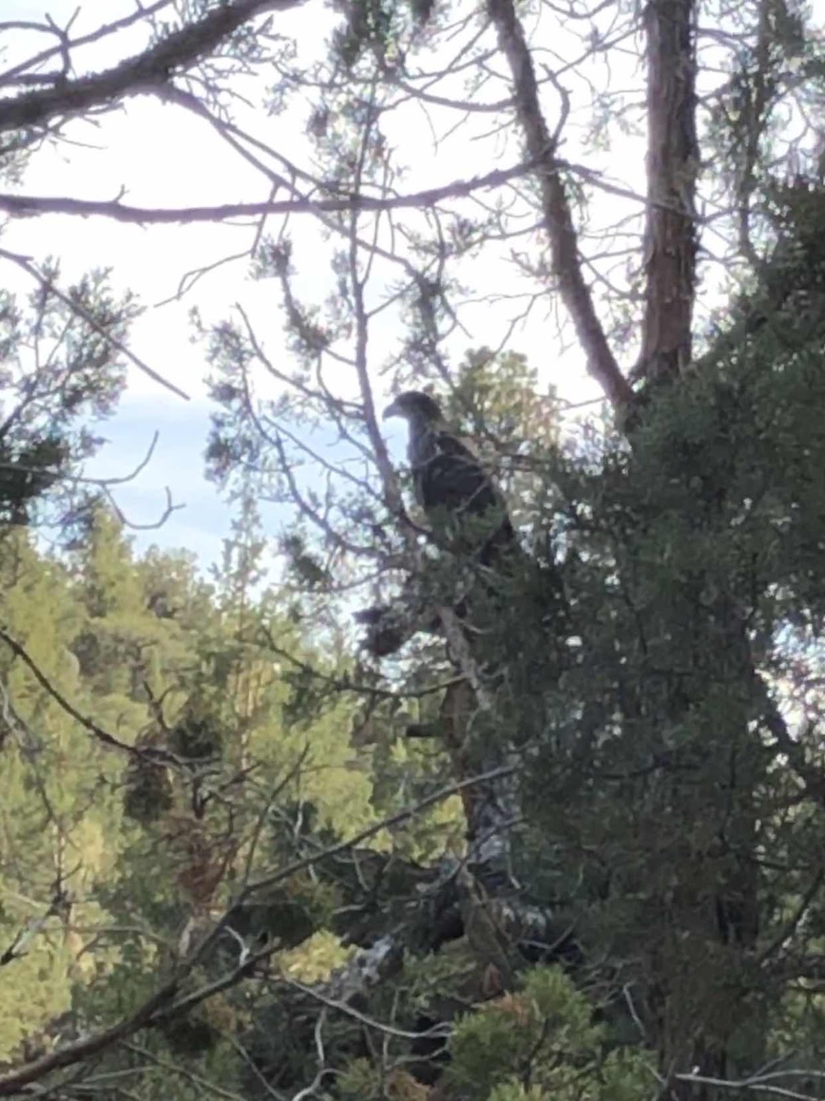
Big ol’ eagle sitting in the tree. 

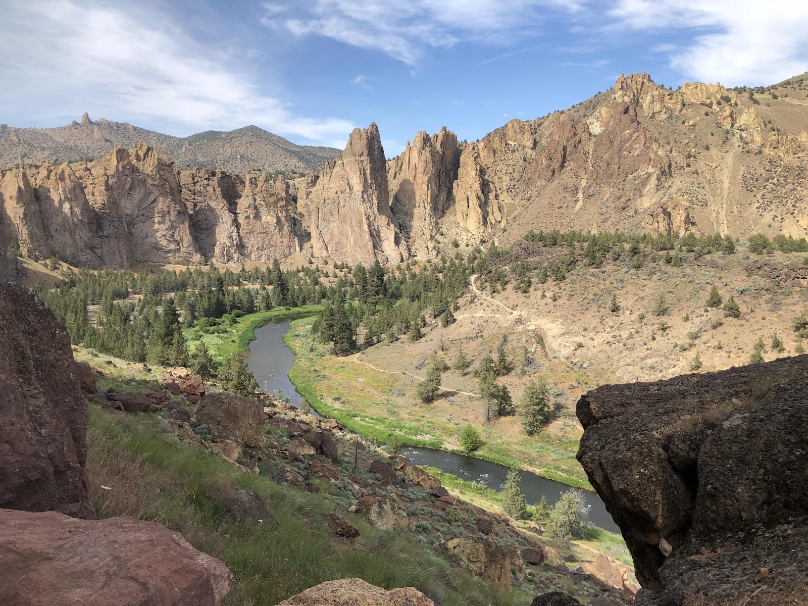
The trail continued to follow the river back to the bridge. 

Is that not postcard perfect???

I returned to my campsite having hiked 5.5 miles. I took a welcome shower (yep, they even have showers here!), then went to the designated cooking area to fix my dinner. 

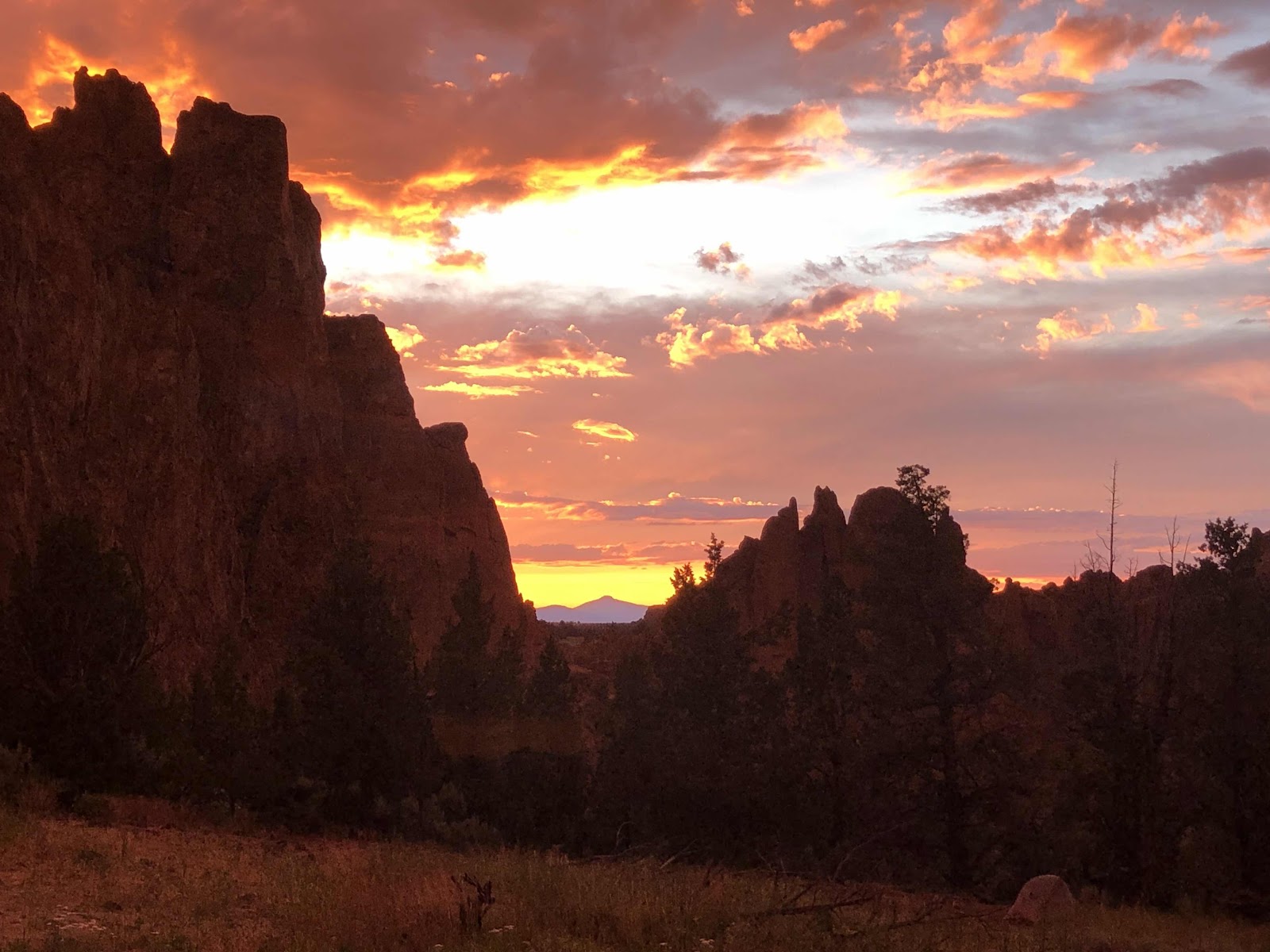
There were some ominous clouds on the horizon, so I prepared for rain. Then this happened. 


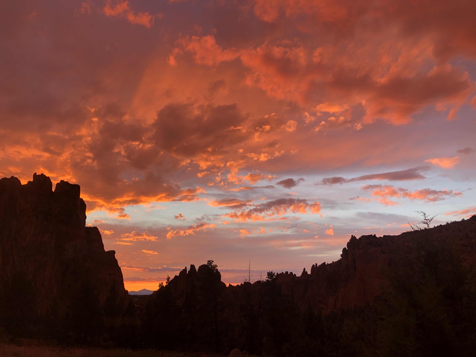
What a magnificent sunset in a magnificent place!

Now, of course it is still raining, and my tent will probably be all wet again in the morning...but, who cares!