 |
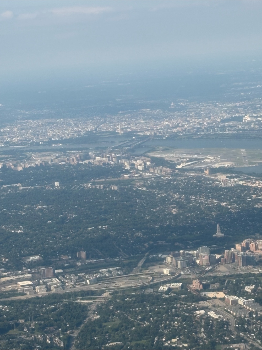
| Goodbye DC! |
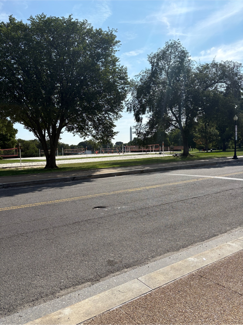
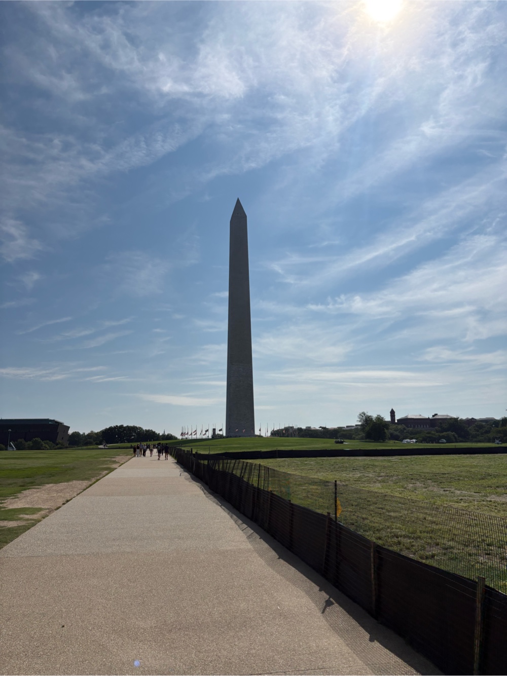
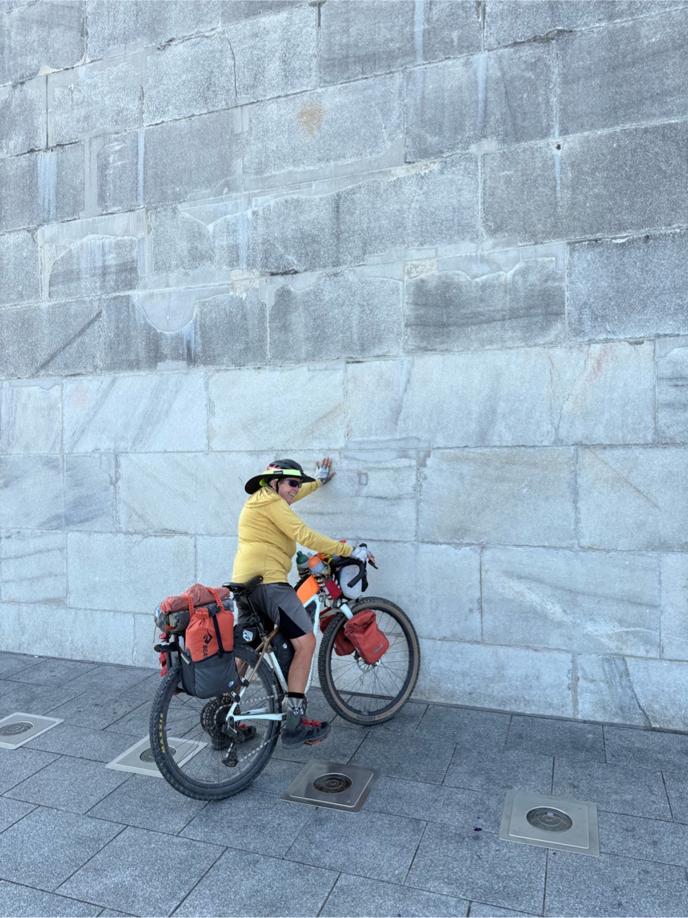
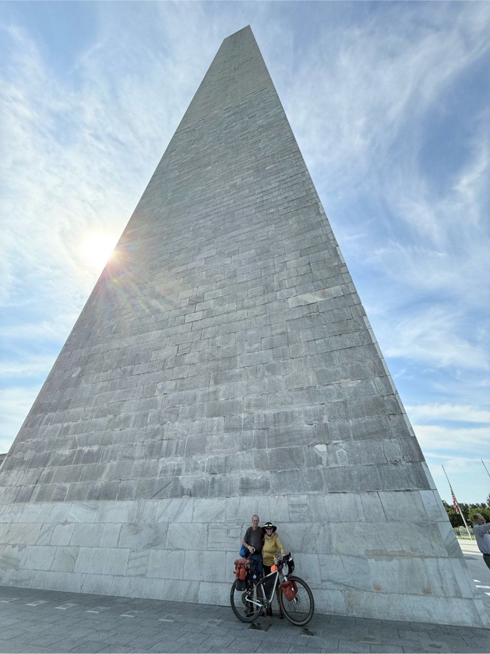
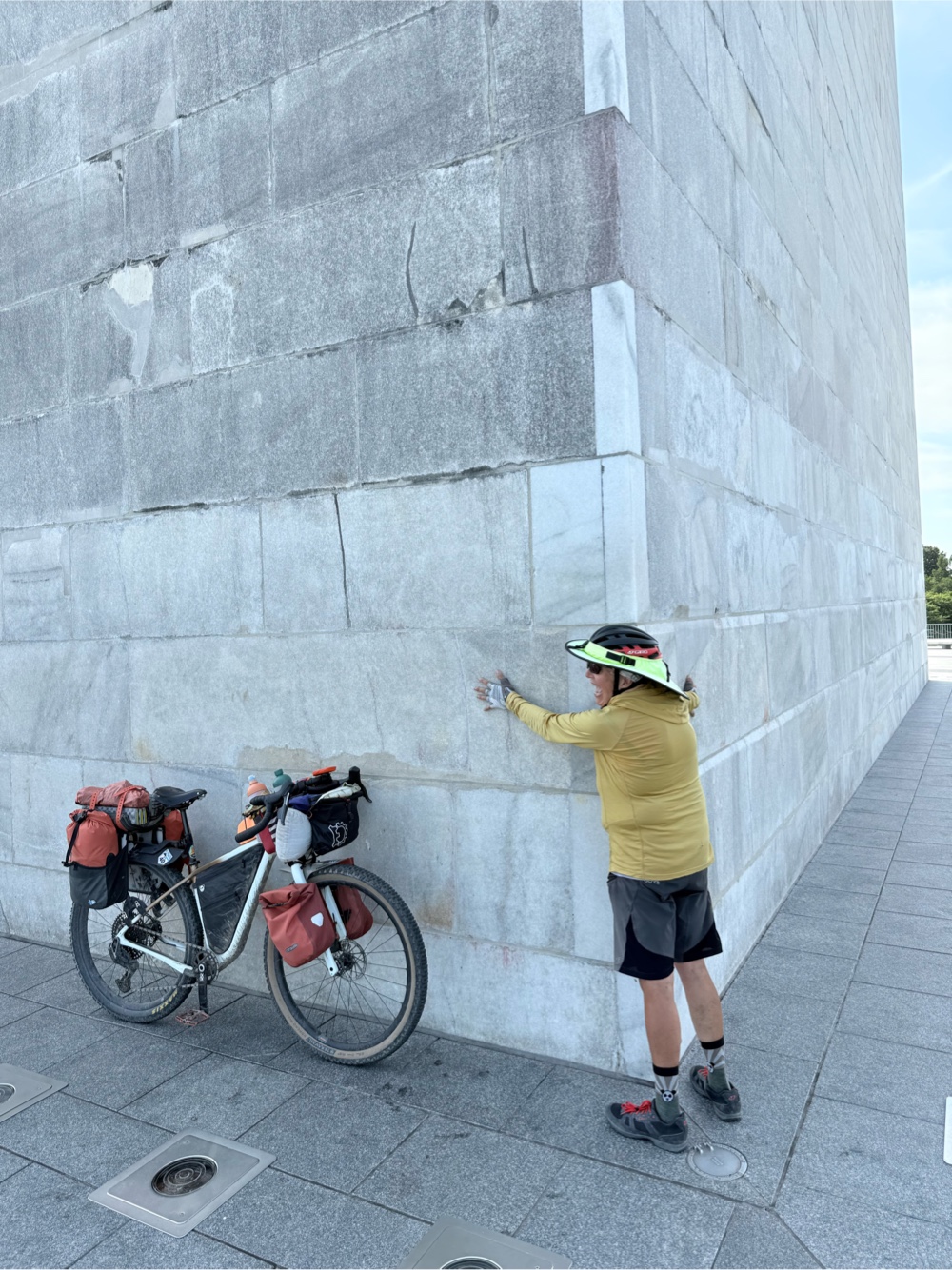
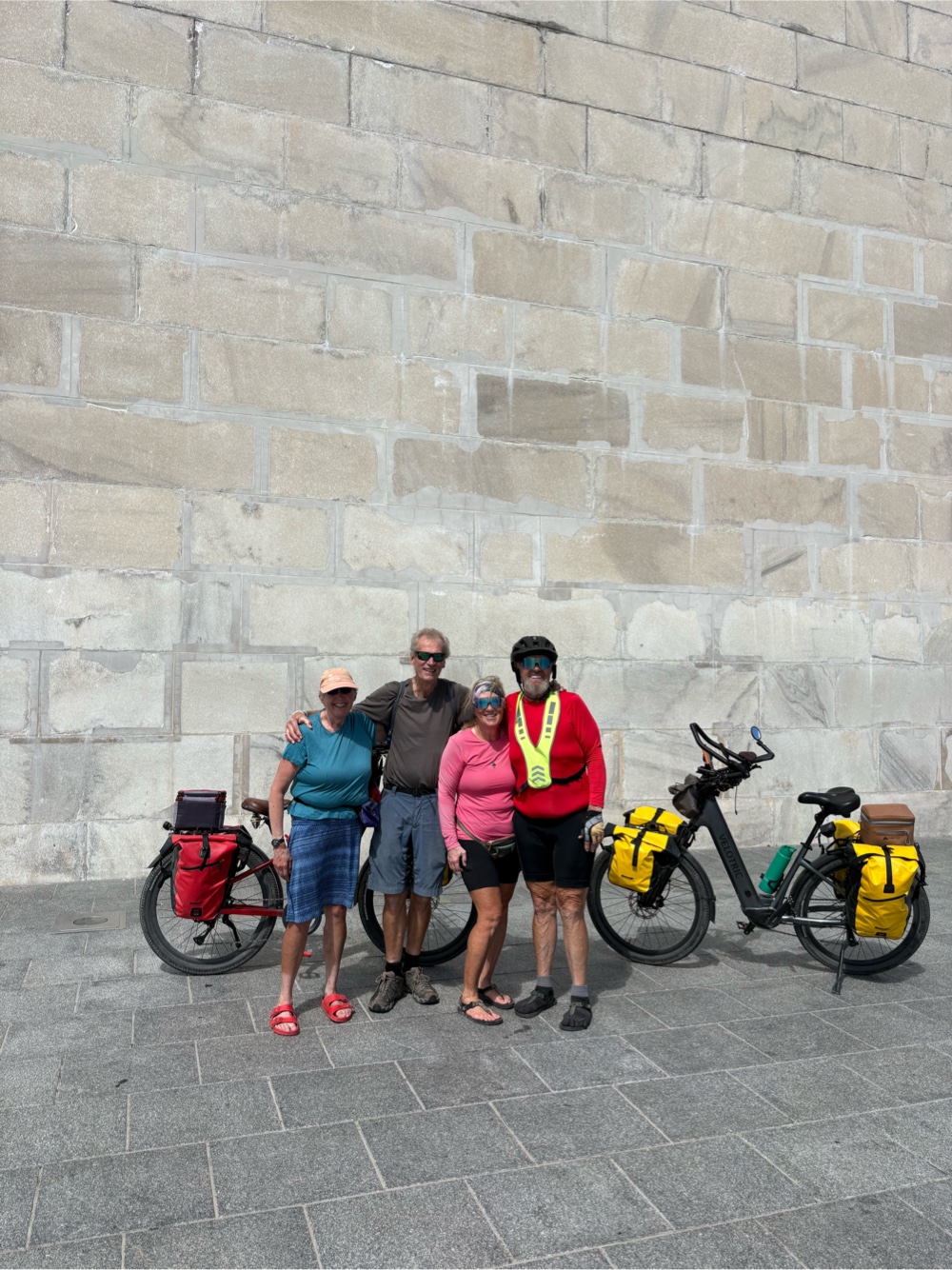
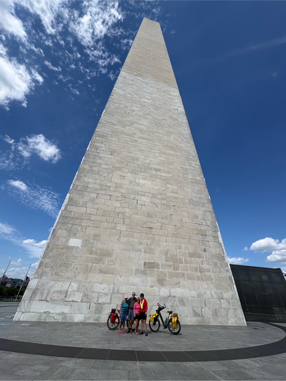
And my friend, the Washington Monument!
I’m writing this on the plane, doing in about 5 hours what took me 75 days. As my son said, the magic of air travel.
When I was getting ready to do the Great American Wheel Route, nearly everyone asked me how long I thought it would take. My answer was based on how long it took my friend and I to do the Trans Am. That was about 4500 miles, and we did it in exactly 3 months (and a half a day). So, I figured I could do 3700 miles in 2 1/2 to 2 3/4 months. I was pretty spot on at 2 1/2 months! Did I think I would do the whole route with just 3 days off? And did I think those 3 days would all be because of weather? No, and no. At 64 years old, I kind of surprised myself that I still had the endurance to ride day after day. I guess I’m still not a fan of taking a whole day off if there’s nothing to do (and on those 3 days off due to weather…yes, I was bored).
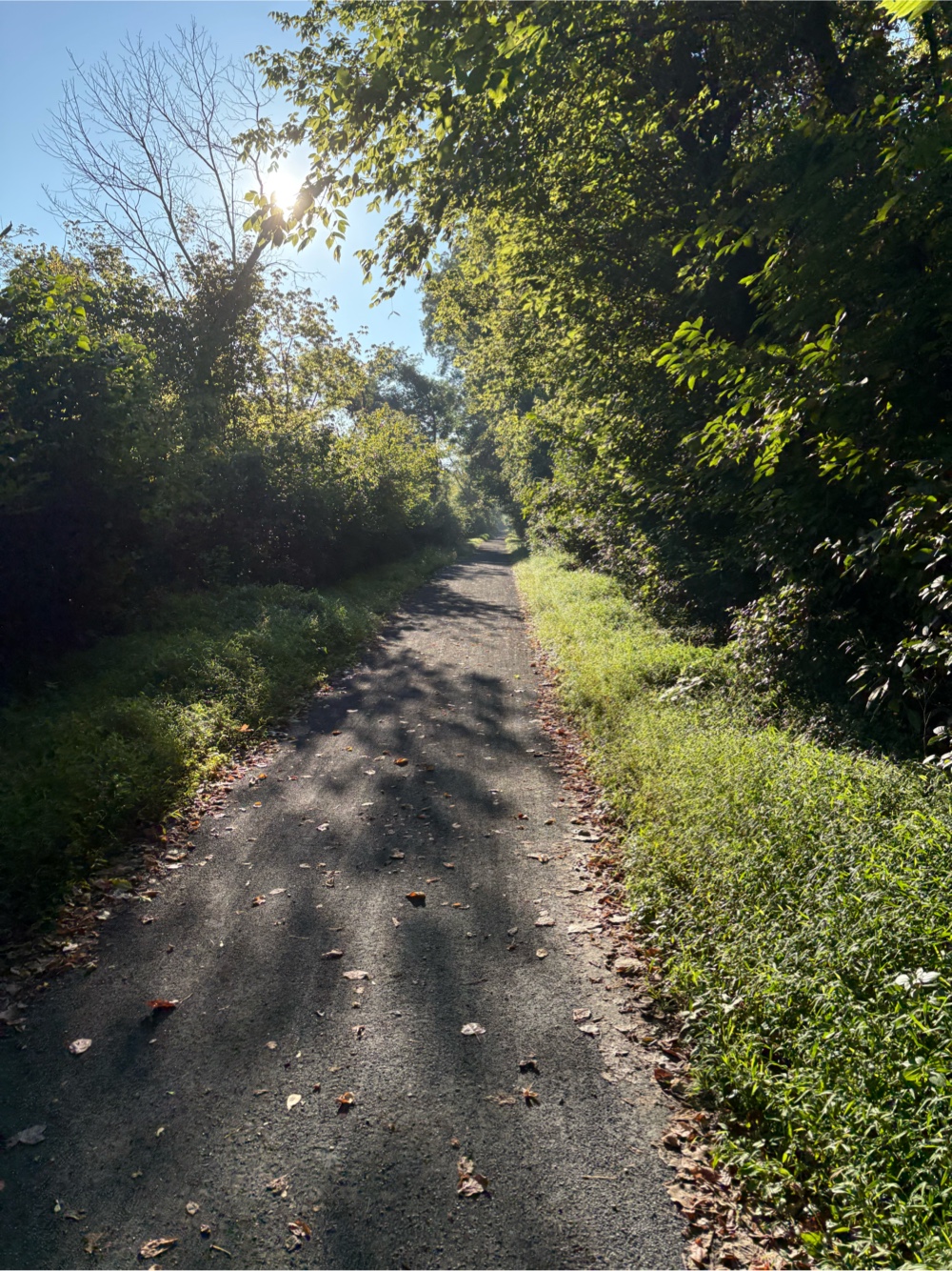
I mostly enjoyed the whole route (well, not that Wyoming part so much). My favorite rail trail was the Mickelson Trail in South Dakota. I would recommend that trail to anyone. I think my least favorite trail was the Cowboy Trail in Nebraska. Sure, it was better than the highway, but the surface wasn’t the best, and not a lot of variety of scenery. I think my favorite state was, believe it or not, Iowa! Sure, the western part with the never ending up and down gravel farm roads kicked my butt, but the back-to-back rail trails in the mid and eastern part were awesome! Of course, Illinois and Indiana had great trails too, so did Ohio. The Indiana and Ohio trails were just so affected by the terrible weather. The GAP and C&O were also great, but I don’t think I would need to do them again.
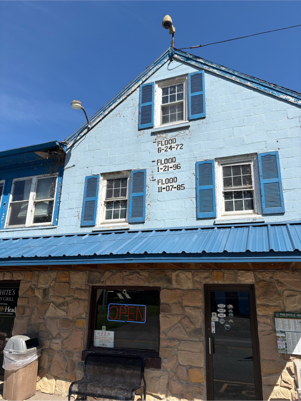
Speaking of the weather, from snow in Montana to extreme heat in Nebraska, and the dreadful thunderstorms and flooding from Indiana until nearly the end, I really experienced it all! The snow was uncomfortable and the heat was…hot, but what was, by far, the worst, and the most dangerous, was the flooding! I would be happy if I never have to experience that again!
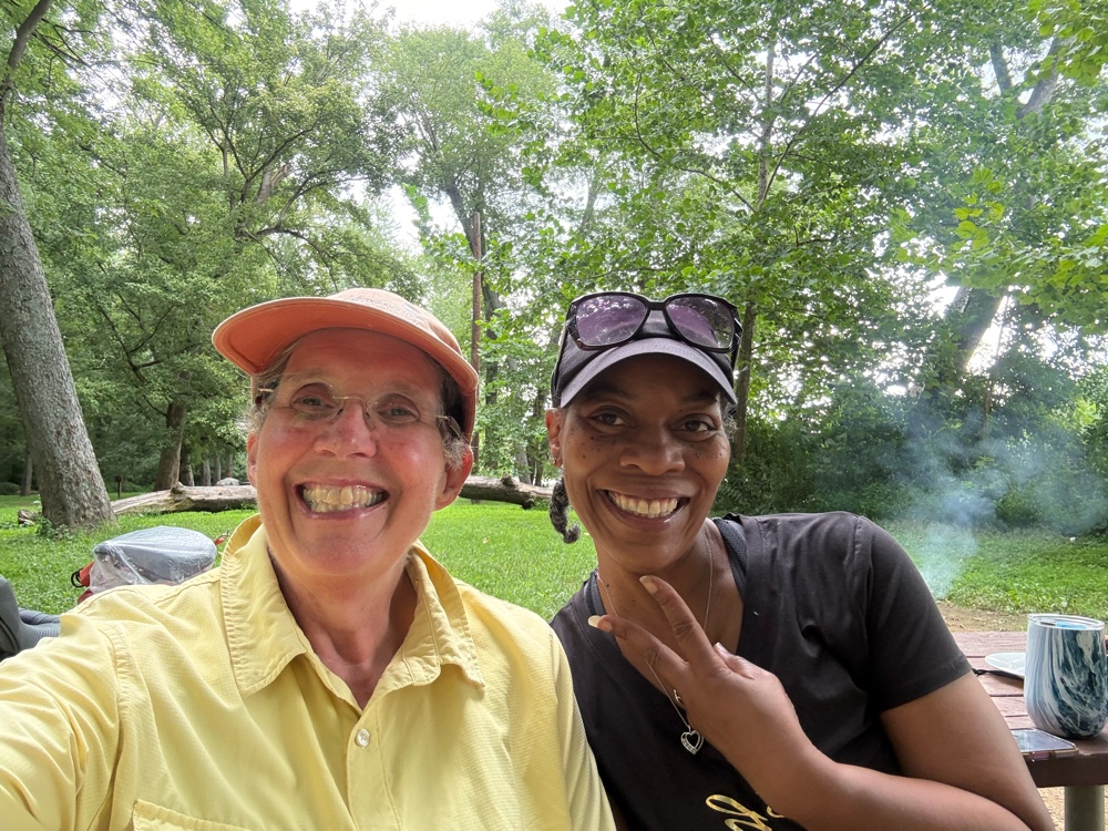
I always say, a bike trip is really about the people. There were some extra special people on this trip. In the West, I have to thank Judy and Jerry for letting me stay at their house, even though they were in the midst of renovating it. Crowell for his routing through Montana, and being available for questions. Brooke for giving me a ride into Phillipsburg on that freezing cold day. My “daughter”, Makaela, for sending me my Brooks saddle (without which I don’t think my butt would have survived). Bernie for letting me camp in her pasture on the reservation in Montana.Young Curtis, who saved me on that dreadfully long day in Wyoming by giving me a ride to the New Haven B&B. Kim, who came to ride the last bit of the Cowboy Trail, and also brought me a new rear tire (without which, I’m not sure what I would have done). Nile, in Iowa, who decided I could use a Casey’s gift card (and I did!). Richard, who gave me a short ride to the T-Bone Trail in the 98 degree heat (mostly, I enjoyed the conversation). Kelli in Moline for letting many of us GAWR riders stay with her. My dearest friend, Bethany, who met me in Frankfort, IL so we could spend some time together, and ride through the south Chicago suburbs (and, if not for her, I would have had no idea when I crossed into Indiana). The four guys who bought me lunch in Morgantown. I really enjoyed riding with them. I also want to thank Tommie who made my last night on the C&O so much fun.
I rode the majority of the route solo, but I did get to enjoy two separate days with Sarah, who left Seattle a week after me, but caught up in West Virginia. That was very fun!
A special thanks go to Vivian and Ken who, even though we never really rode together, we were in each other’s orbit from really, South Dakota onwards. We enjoyed several dinners together, and stayed in a few hotels together, but most of all, kept tabs on each other during the terrible weather days. We are friends for life now!
I got really lucky when I managed to be in Parkersburg the same time as Dana McKnight, the guy who put the route together for submission to Bikepacking.com. We spent a great evening debriefing about the route (there will be more to come I’m sure). Then he even met up with Sarah and I again.
Finally, I’d like to thank Curtis Sutherland for the moral support, and commenting on every single blog post!
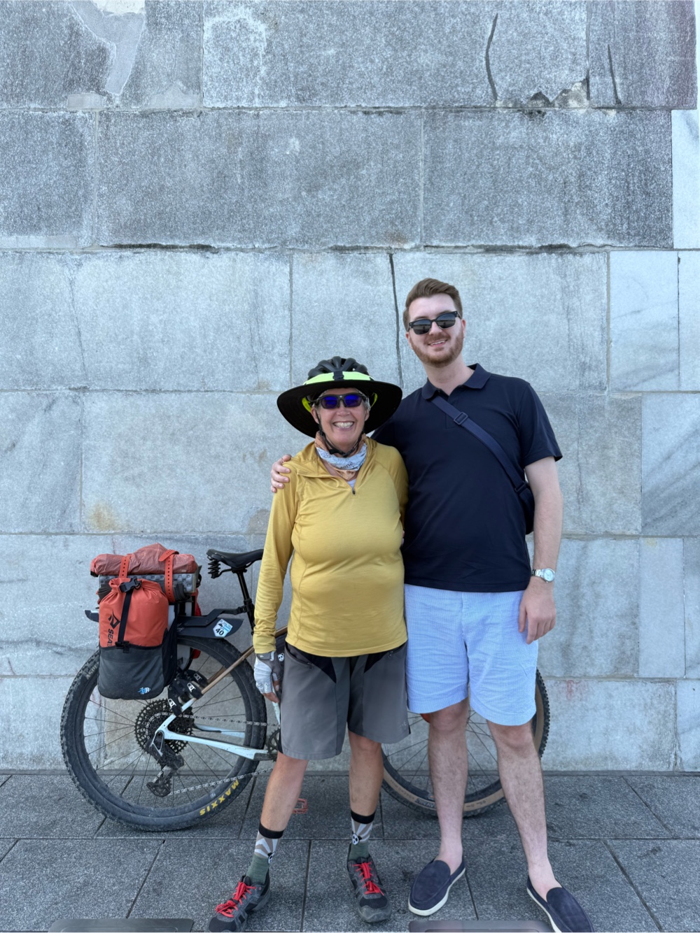
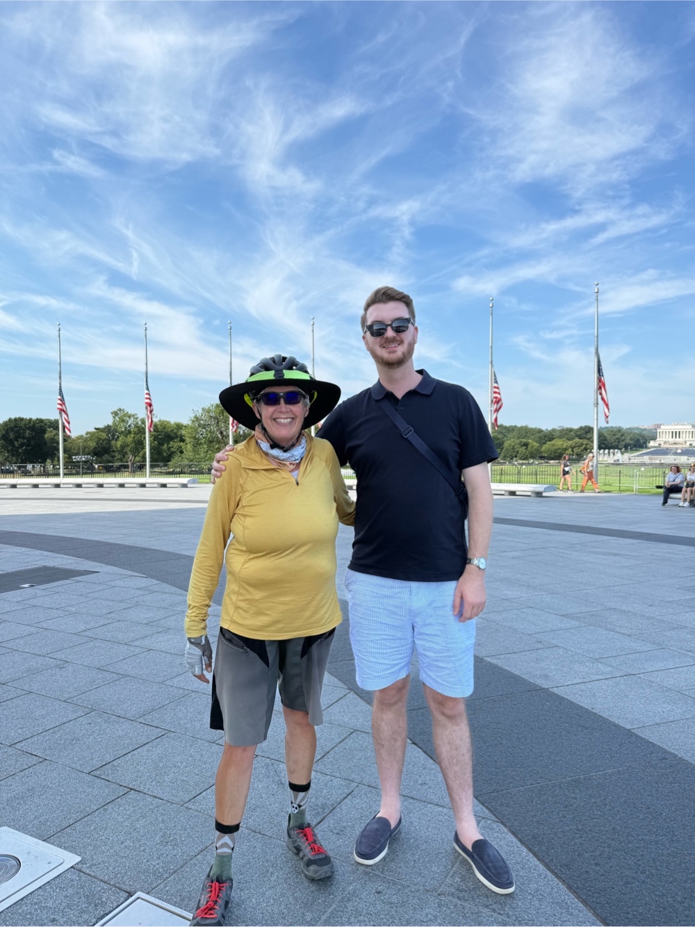
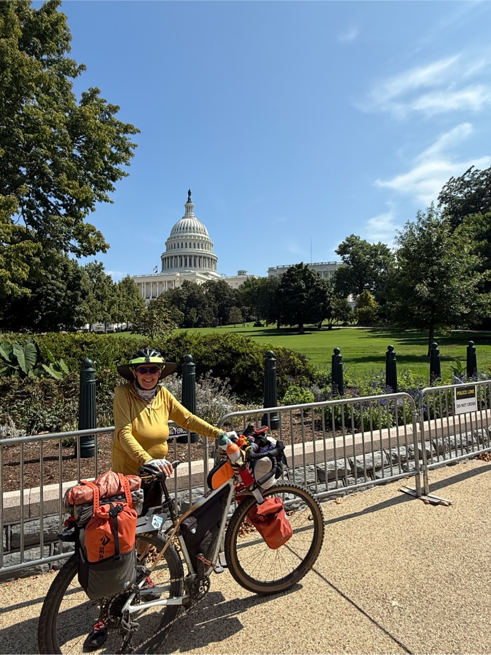
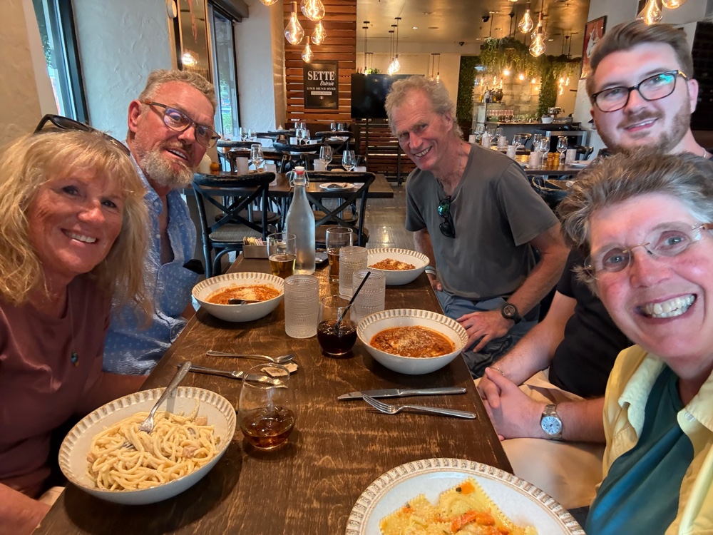
And final finally, a special thank you to my son, Nolan. I’m so glad he was able to come to DC and meet me at the finish. It truly made for the best finish ever of a long bike trip! I thoroughly enjoyed our few days in DC!
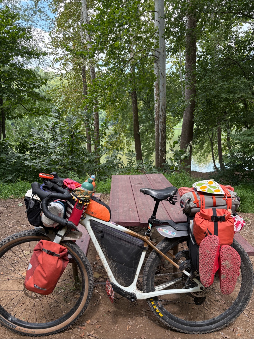
I’ll finish this post with a word about the most awesome bike on the planet. I bought Wanda, my Salsa Cutthroat, with this route in mind. She truly was the perfect bike for the GAWR. I wouldn’t have changed a thing about her setup. I had zero issues, even with all the water she had to endure! She is most deserving of a thorough cleaning (as soon as I get her back home…not sure when that will be).
Thanks to all of you who read my blog posts (and gave encouraging comments).
 |