What a difference today! I mean, don’t get me wrong, there’s still massive amounts of water everywhere, but at least the sun was out!
Soon I was back out in the countryside.
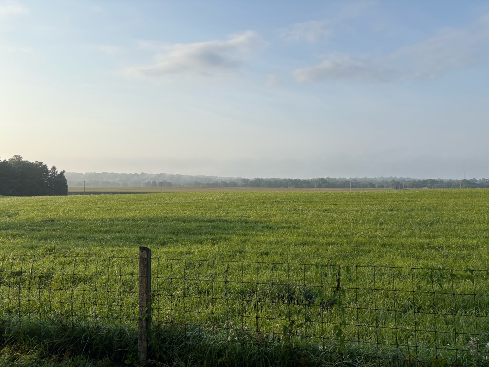 |
| Some final Indiana agriculture. |
I rolled into New Paris. I’d been seeing signs for Amish horse and buggy. Coming toward me was a woman and her kids.
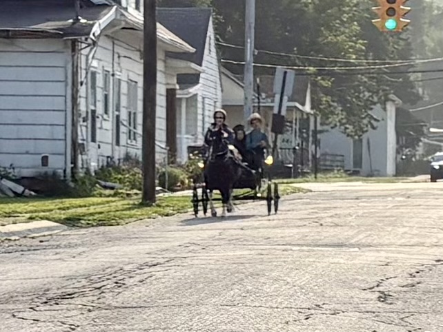 |
| This is zoomed in a bit because I always feel a little weird taking their photo. |
The final climb was coming out of New Paris. The route turned onto what in most places would have been a gravel road. It was a single lane of rough pavement. I thought, oh this is a sly dog for sure! Then I saw this.
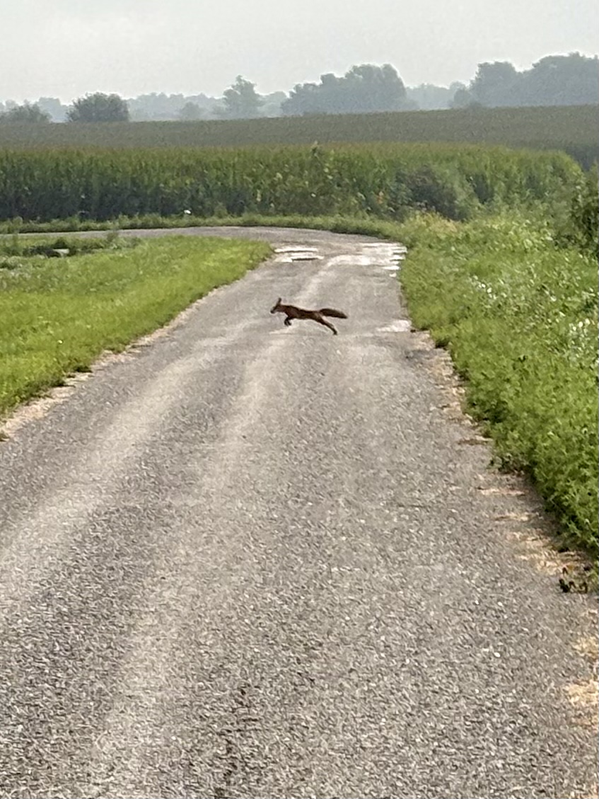 |
| Why did the fox cross the road? |
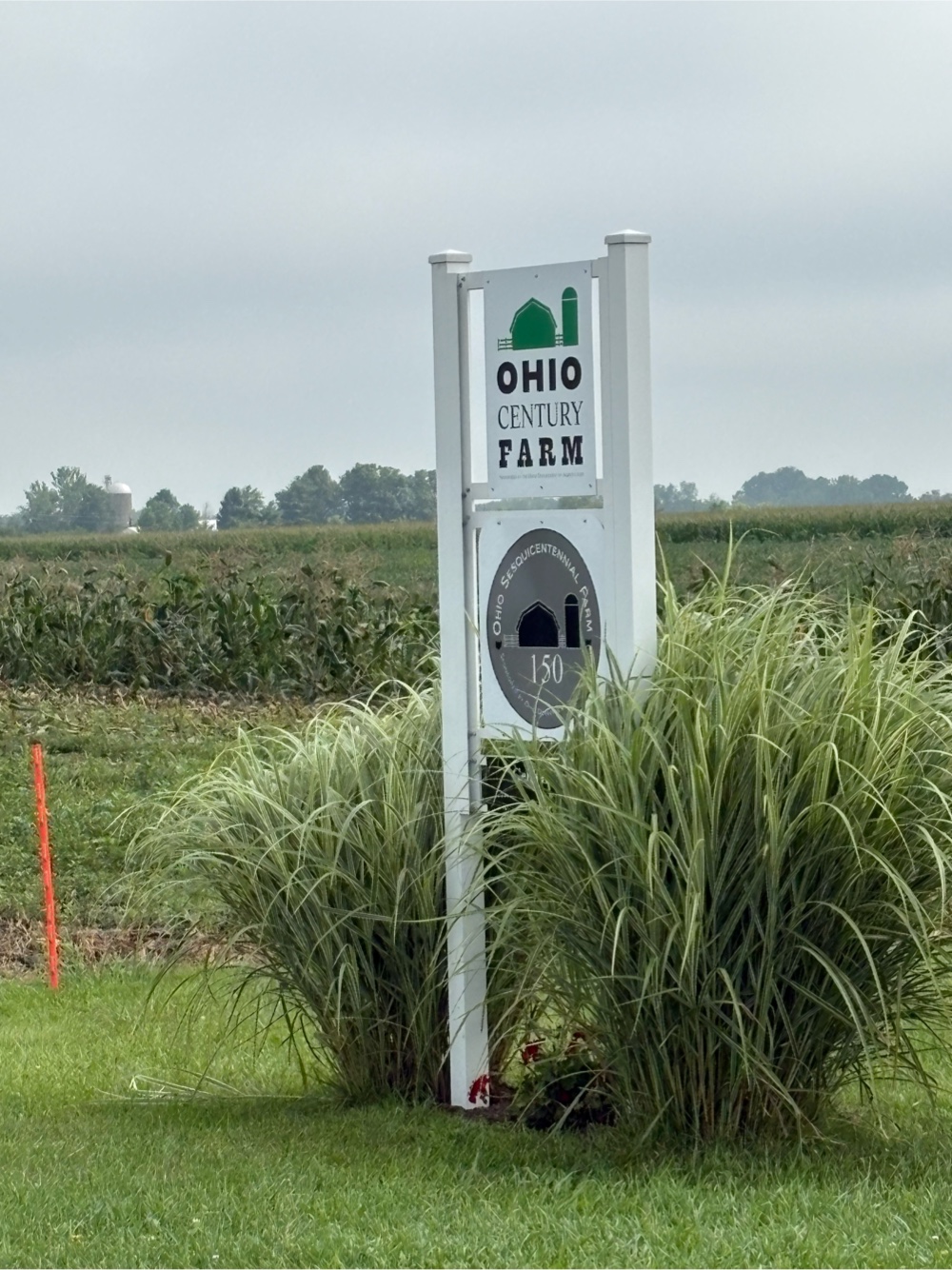
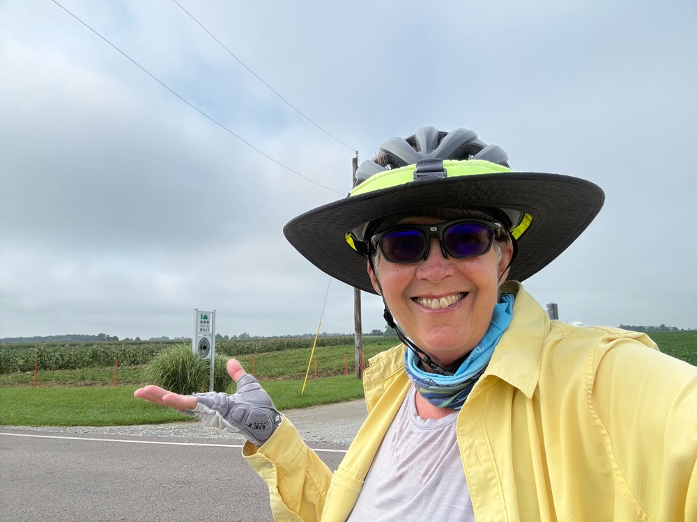
I popped back out onto the regular road. I was riding along when I noticed this sign for an Ohio Century Farm. Wait? Am I in Ohio? When did that happen?
I stopped and pulled out my phone. Apparently, I had crossed into Ohio BEFORE New Paris! Geez! Would it kill them to put a sign up? Okay, so now I’m in Ohio, state number 10!
I was getting kinda hungry. I saw there was a place in Verona. It was about 8 miles away. When I got there, the place on my map was this.
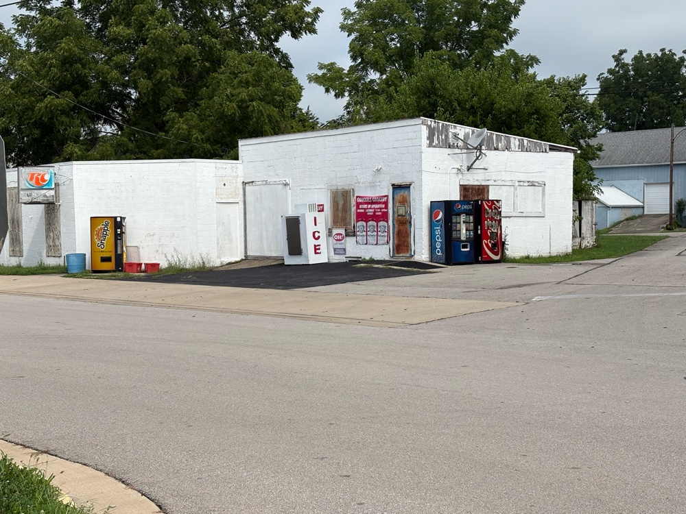 |
| No snack here! |
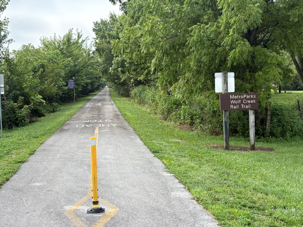
I continued on to the Wolf Creek Trail.
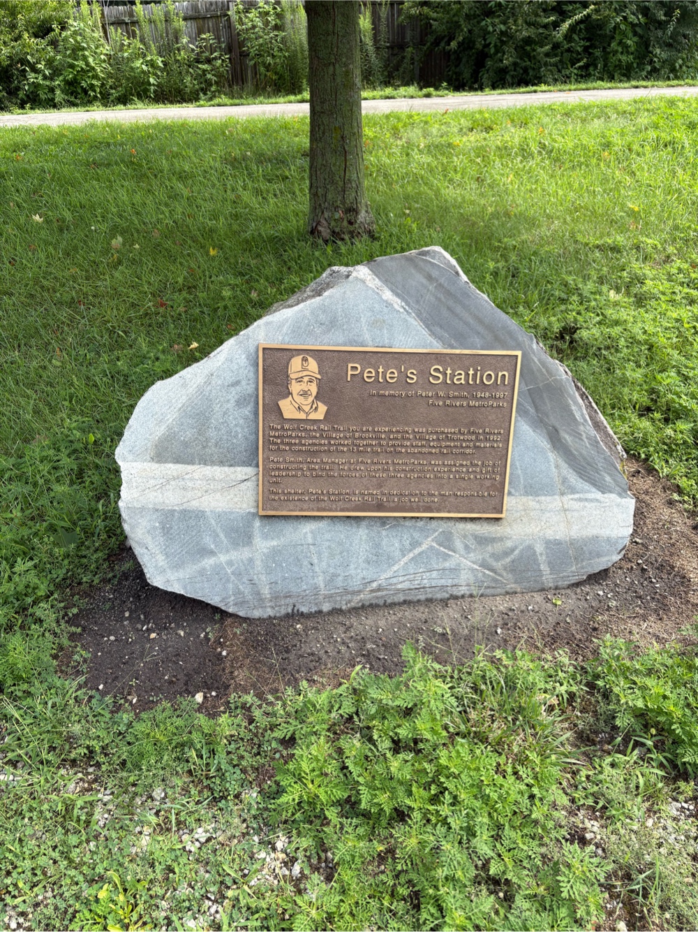
There was a sign that said “Pete’s Station 2 miles”. I would stop there and eat the little donuts I’d been carrying for awhile. When I arrived there was a gentleman getting ready to get back on his bike. 88 year old Lesley rides nearly everyday. We chatted for awhile. He took my photo, and I took his.
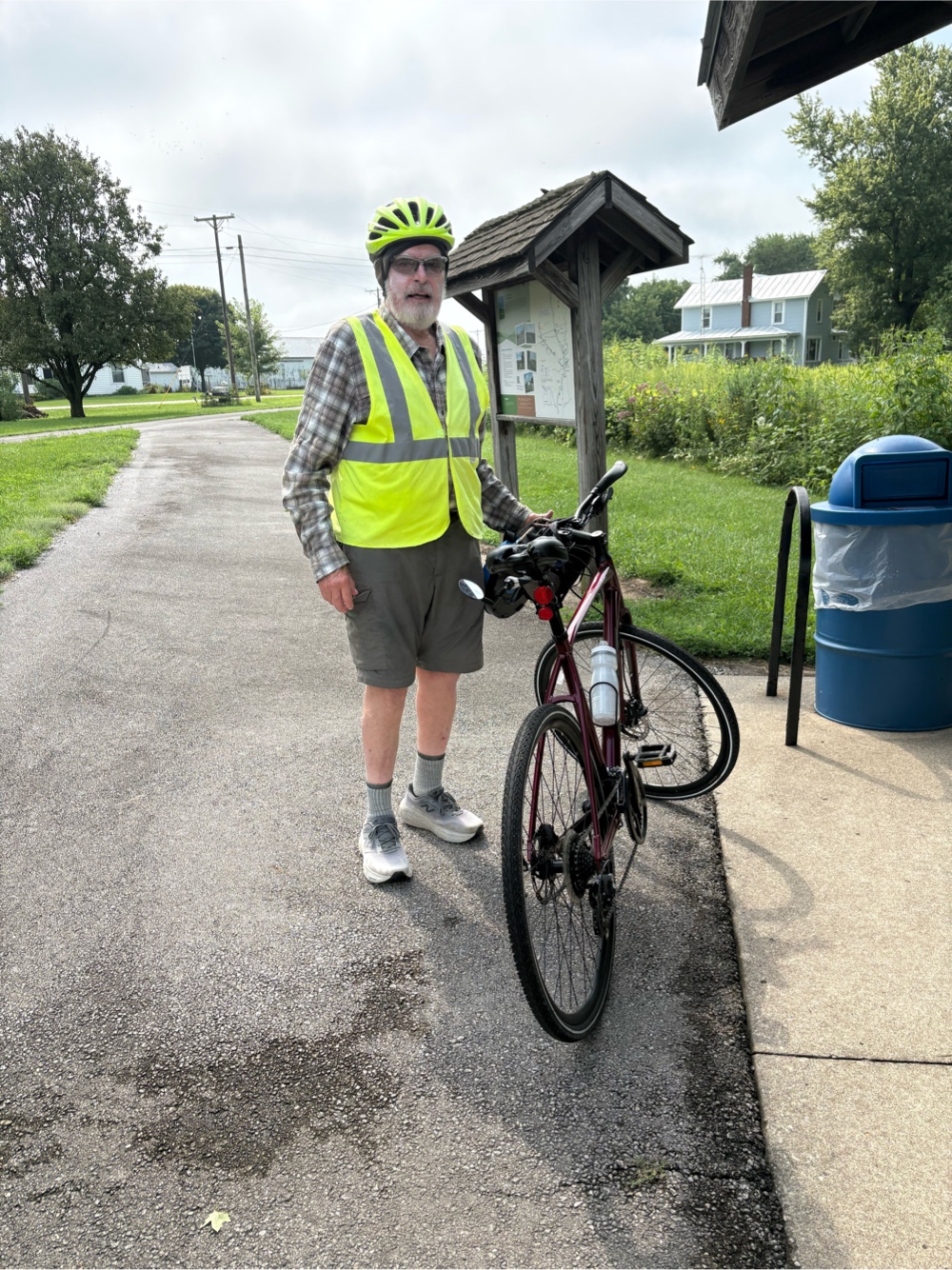 |
| Nice to meet you, Lesley! |
After he left, I sat down and ate my crumbled donuts. Pete’s Station was named after Peter Smith, a guy who was instrumental in bringing the Wolf Creek Trail into existence.
I continued on the trail into Brookville.
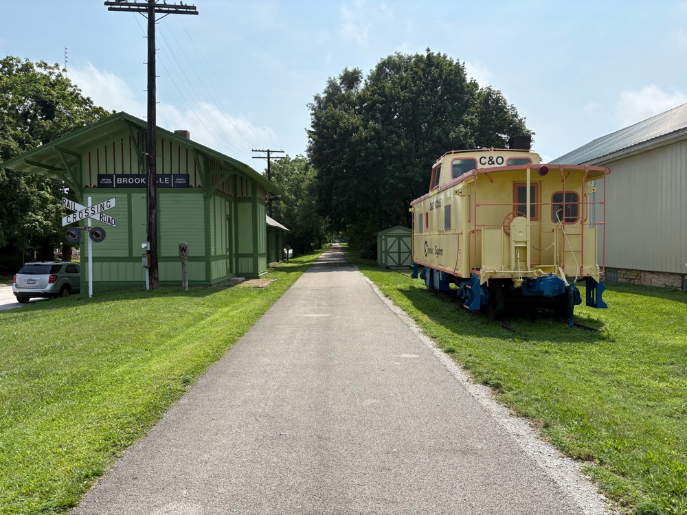 |
| Brookville depot |
I saw an ice cream shop right off the trail. I decided some ice cream would be a good addition to the donuts that were already in my stomach. I was right!
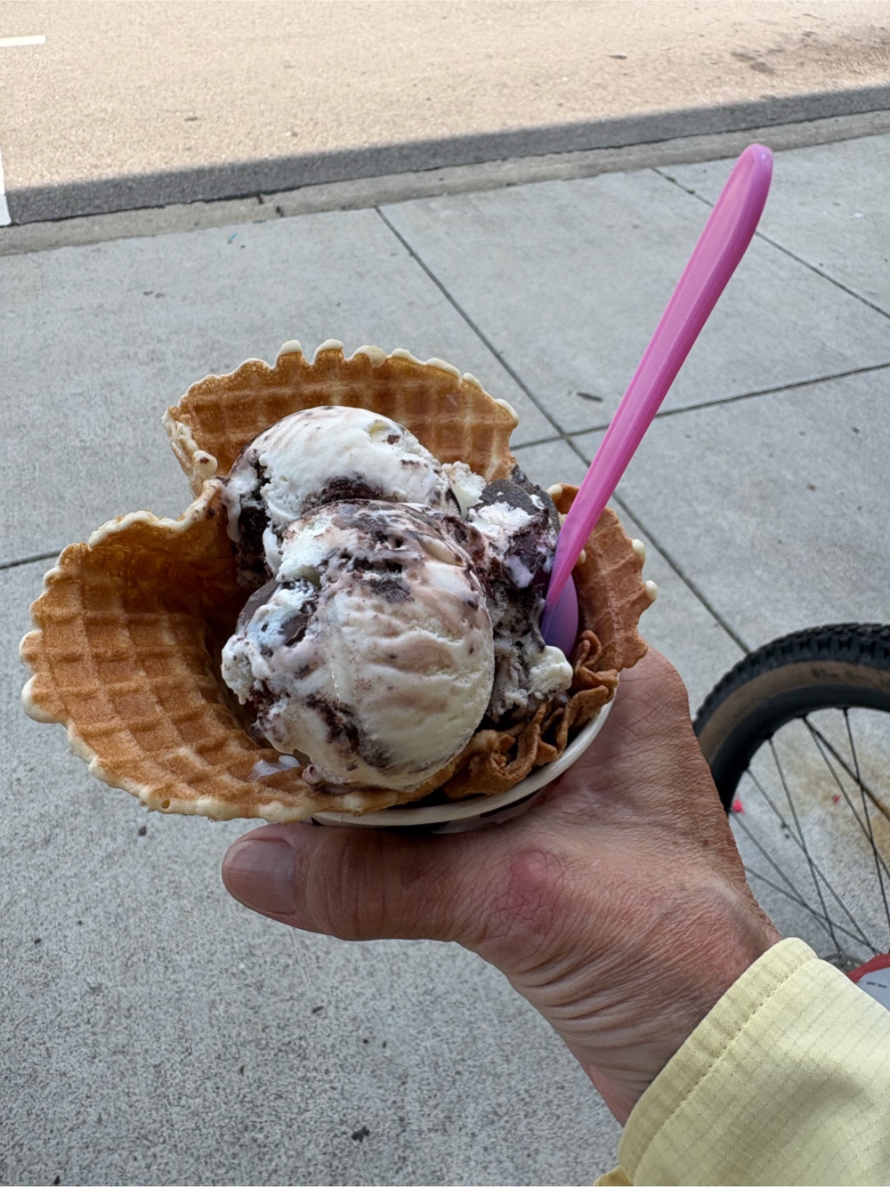 |
| Moose Tracks |
The Wolf Creek Trail does what the Nickel Plate and Cardinal Greenway trails did. It ends, but after some road riding, picks back up again. The road part (even though it was USBR 50) was not the best.
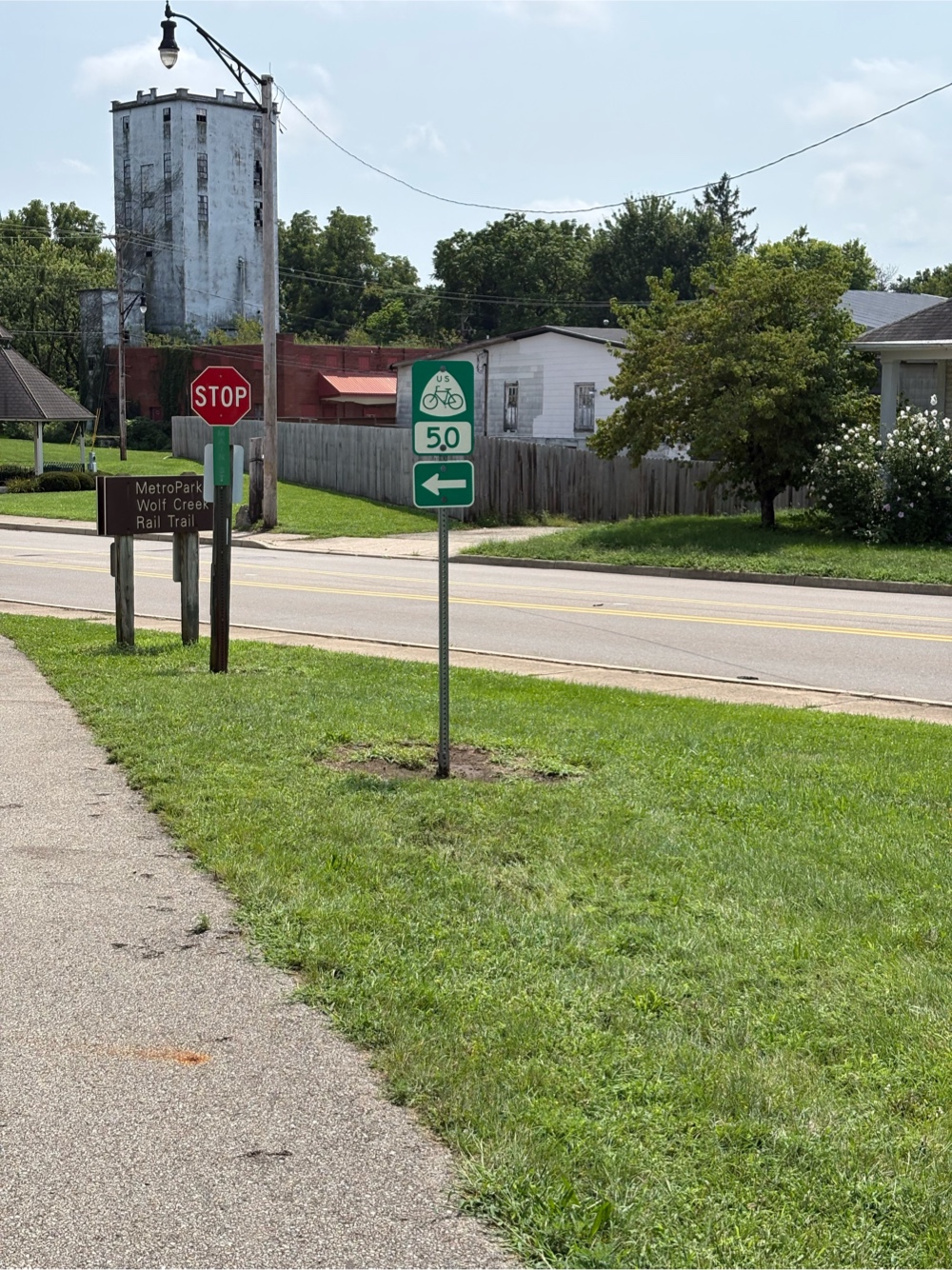 |
| Onto the road now |
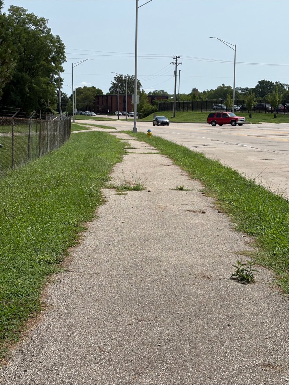
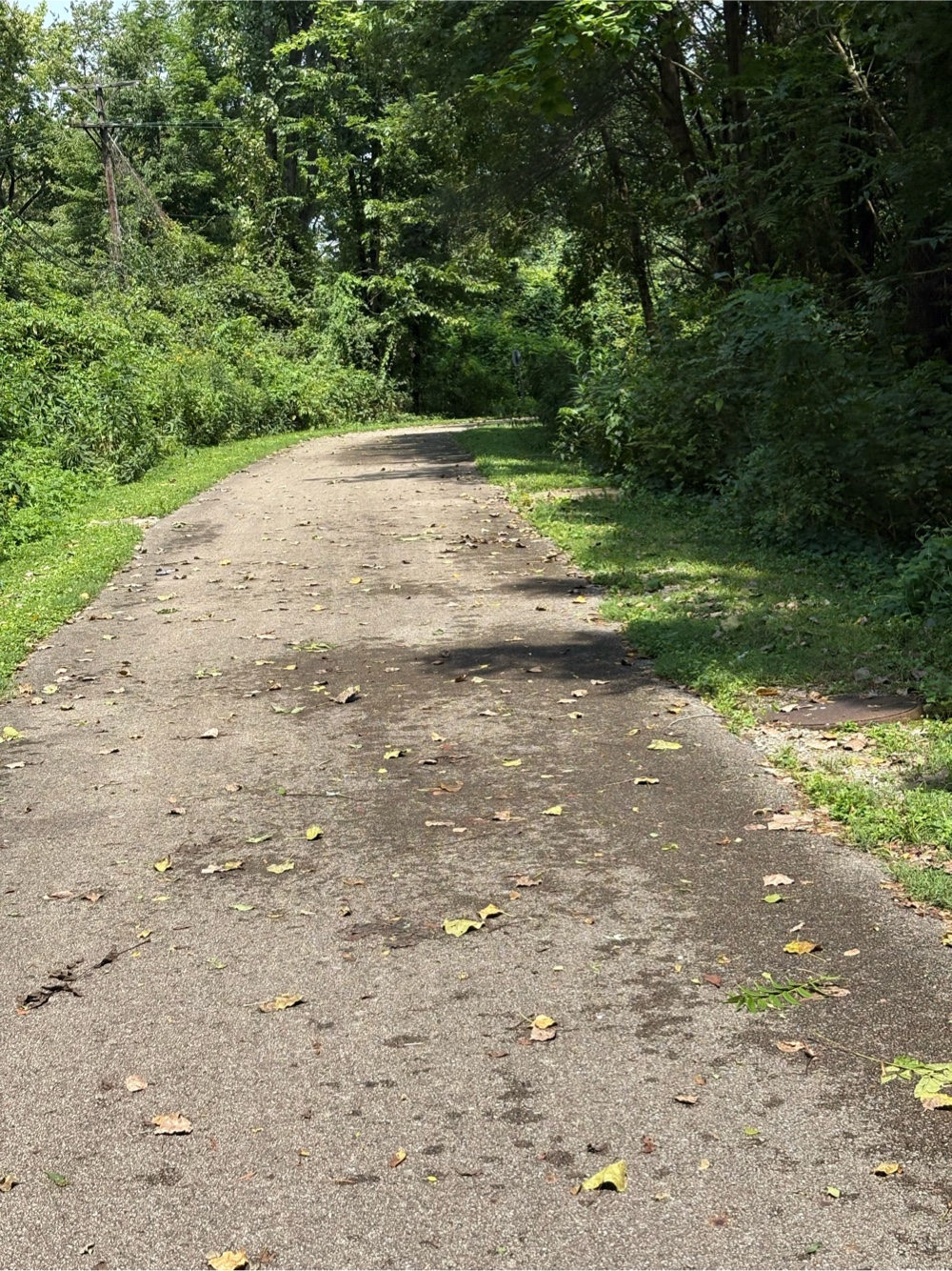
When I returned to the other part of the Wolf Creek Trail, I could tell this part didn’t get much attention.
There were overgrown bushes blocking the trail in places, and the surface was not nearly as nice. But that was just a couple of miles worth. Then it got back to a nicer trail.
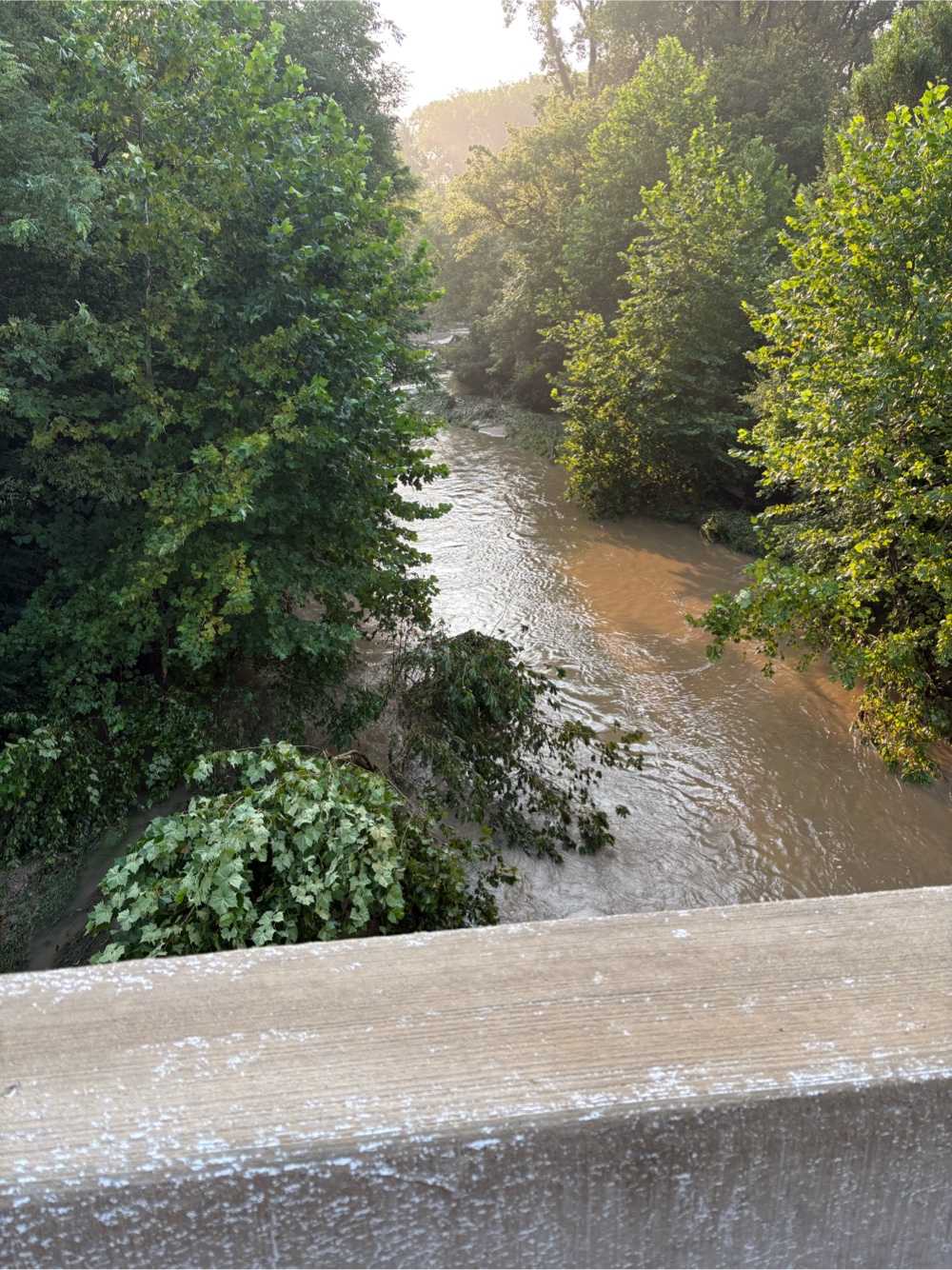
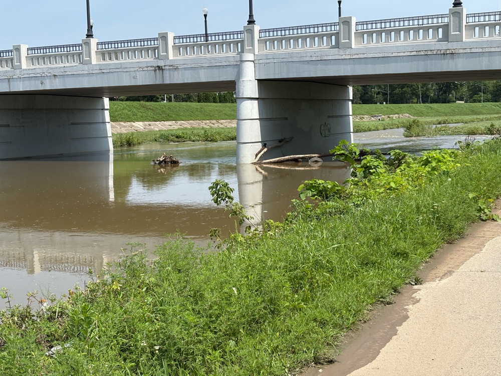
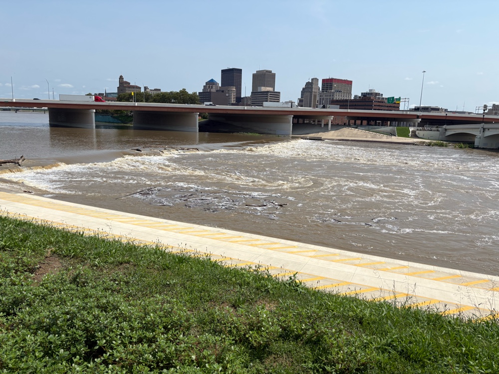
At this point, I was basically in Dayton. The trail brought me to the Miami River, and the Great Miami River Trail. Of course, the river was still pretty high.
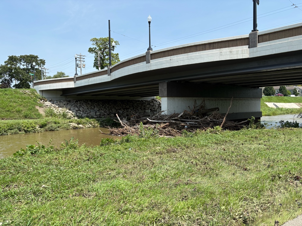 |
| So much debris up against the bridge |
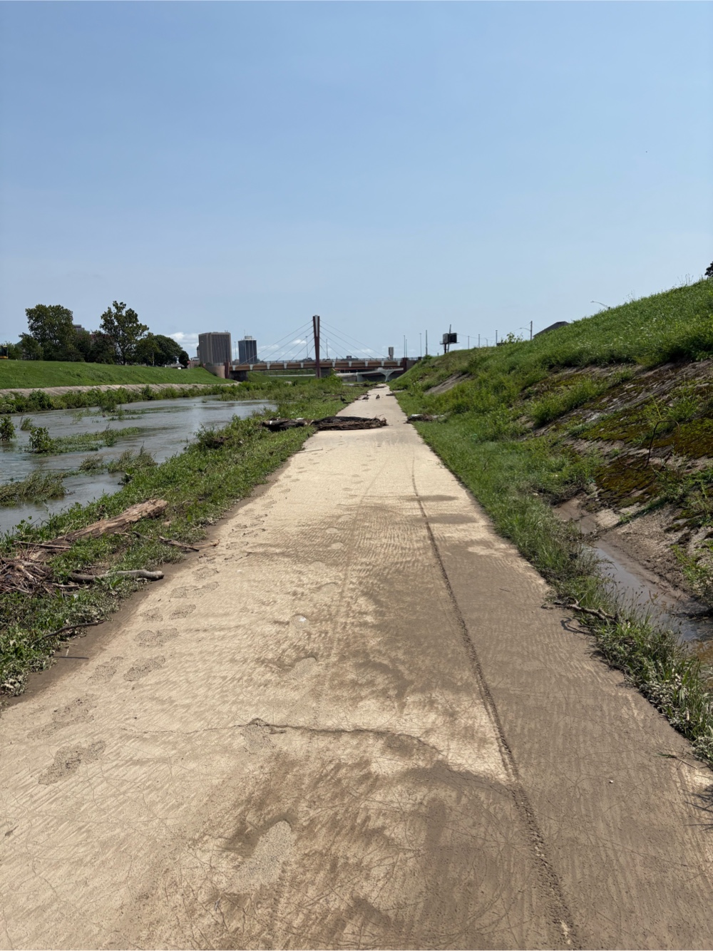 |
| Debris from where the trail was likely under water |
I came to where my Garmin said to turn left.
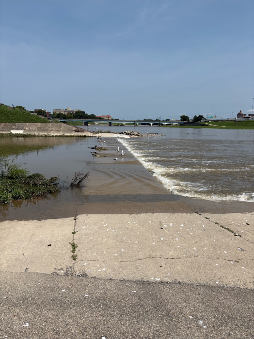 |
| That’s the trail |
Uh, I don’t think so! I rerouted up to the road, and discovered there was a higher up path. I followed that, noticing that I couldn’t even see the path along the river.
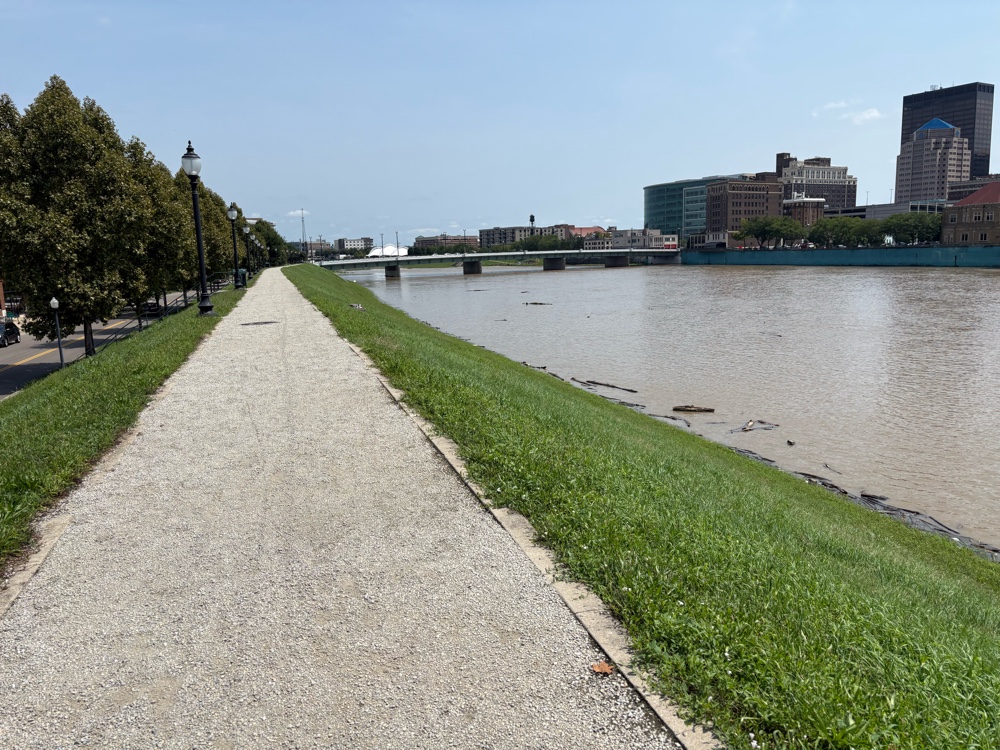 |
| It’s down there somewhere! |
Since my hotel was closer than the route, I just routed to the hotel. So, I didn’t actually finish Segment 5 of the route. Tomorrow, I will start the final segment called “Steel”. That means I have just 639 miles to go!
I’m at a rather nice hotel (it was close to the route). The desk guy put me in a corner room.
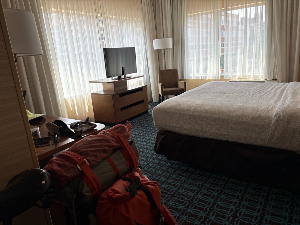 |
| Fancy! |
Since my plan is to camp tomorrow night, I thought I should take my quilt out and give it some fresh air. The top of it is wet. I knew the bottom of the bag was not keeping water out so I had put a plastic bag in the bottom. I guess the top is no longer waterproof either. I’ll see if I can get a bigger bag and put the whole thing in it. Looks like it’s time for a new dry bag.
62 days done…12 days to go!


No comments:
Post a Comment