Sunday, April 11, 2021

A Whole Different Experience This Time Around!

Two years ago, Bethany, Stephanie, and I did the Gorge Gravel Grinder. The weather was absolutely horrid. There was so much mud, we renamed the ride the Gorge Mud Slider. One would think we would never do that ride again. Of course, we did. Today’s Gorge Gravel Grinder was a whole different experience. 

This time, there were 6 of us. Bethany, Stephanie and I added Polly, Jana, and Katie to our posse. The ride started in Dufur, about 12 miles or so south of The Dalles. We stayed at The Dalles Inn. Our group was to depart from the city park in Dufur at 10:40. We arrived just in time, and only had to wait about 10 minutes. Oddly, my front tire was flat this morning. I aired it up, and had no further issues throughout the ride)

The weather this year was forecasted to be sunny and in the mid 50s. We were all prepared for whatever could happen with the weather. I had 4 pairs of different weight gloves! But, this time the forecast was spot on! It was a fantastic day. Even the wind didn’t become a factor (and wind is often an issue for this ride).

We were all doing the “Small Grind”. It was 52 miles with about 4500 feet of elevation. Unlike what we are used to in Capital Forest, the climbs, though they be long at times, were not into double digits. And the gravel was actually gravel (as opposed to dirt with some rocks). 
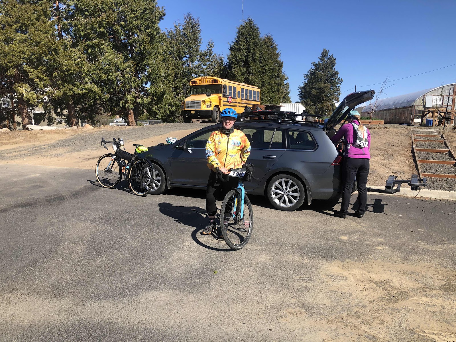
Polly and Bethany getting ready to roll down to the park.

While we started rolling from the park, the actual timing started about 3 1/2 miles into the route (yes, this was a race, but we weren’t really racing). 

Waiting to start the “official” start. 

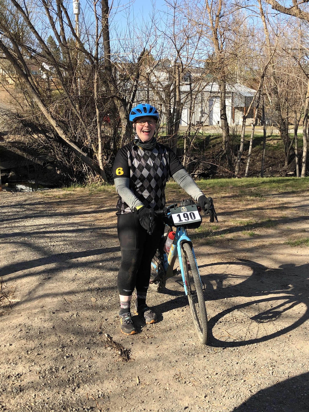
Masks were required while waiting to start, and at the aid stations. Here, Katie and I are complying with the rules. 

The first aid station was less than 10 miles in. Still, we stopped and had snacks (we paid for this ride, we might as well get our money’s worth).
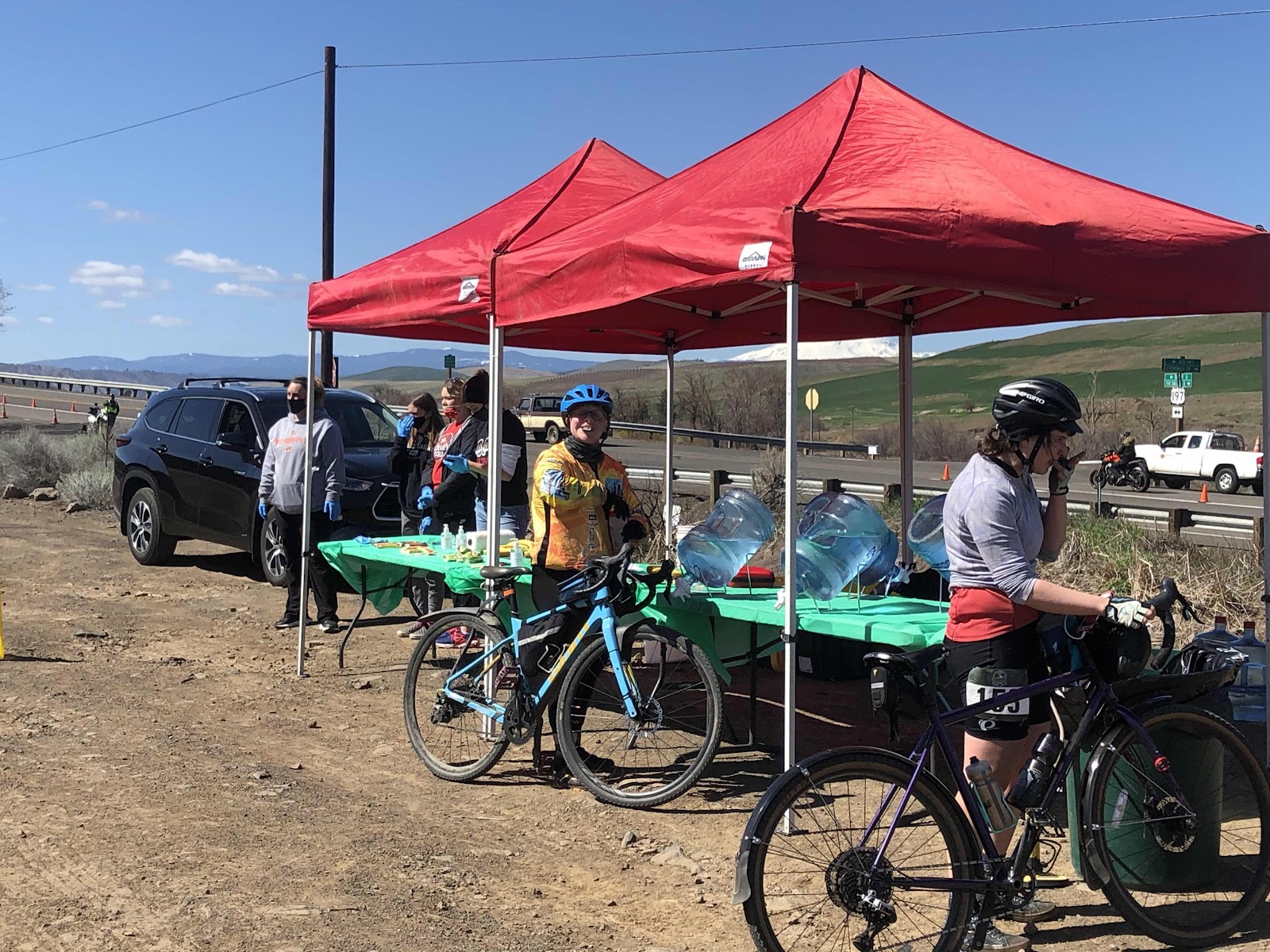
Polly getting some snacks

Of the 52 miles, 39 miles was gravel, and the rest was paved backroads. We started with a nice climb, then descent on gravel, then popped out to pavement. Steph, Katie, and I had a good pace line going on some of the paved sections. We even picked up a guy named Terry from Hailey, Idaho. He was a good guy, taking pulls along with the three of us. 

Once we returned to the gravel, we stopped the pace line. Besides, we were climbing anyway. 
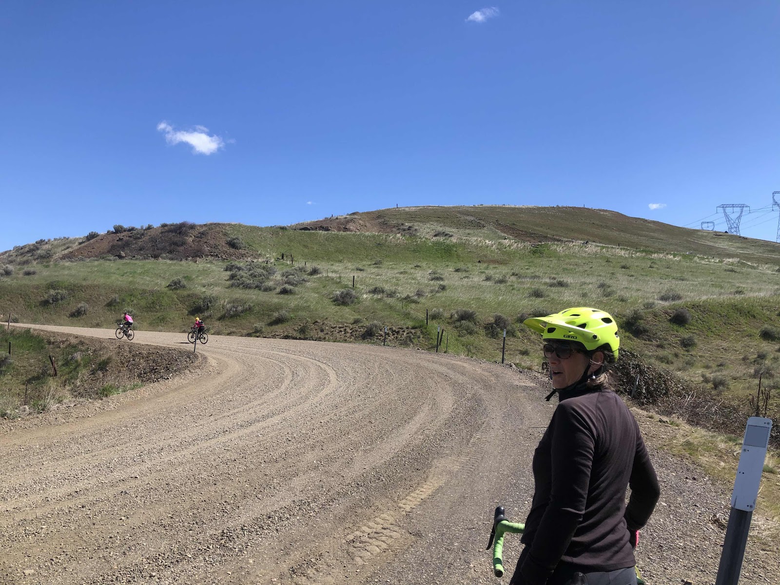
Some climbing ahead. We were going up to the road up high. 
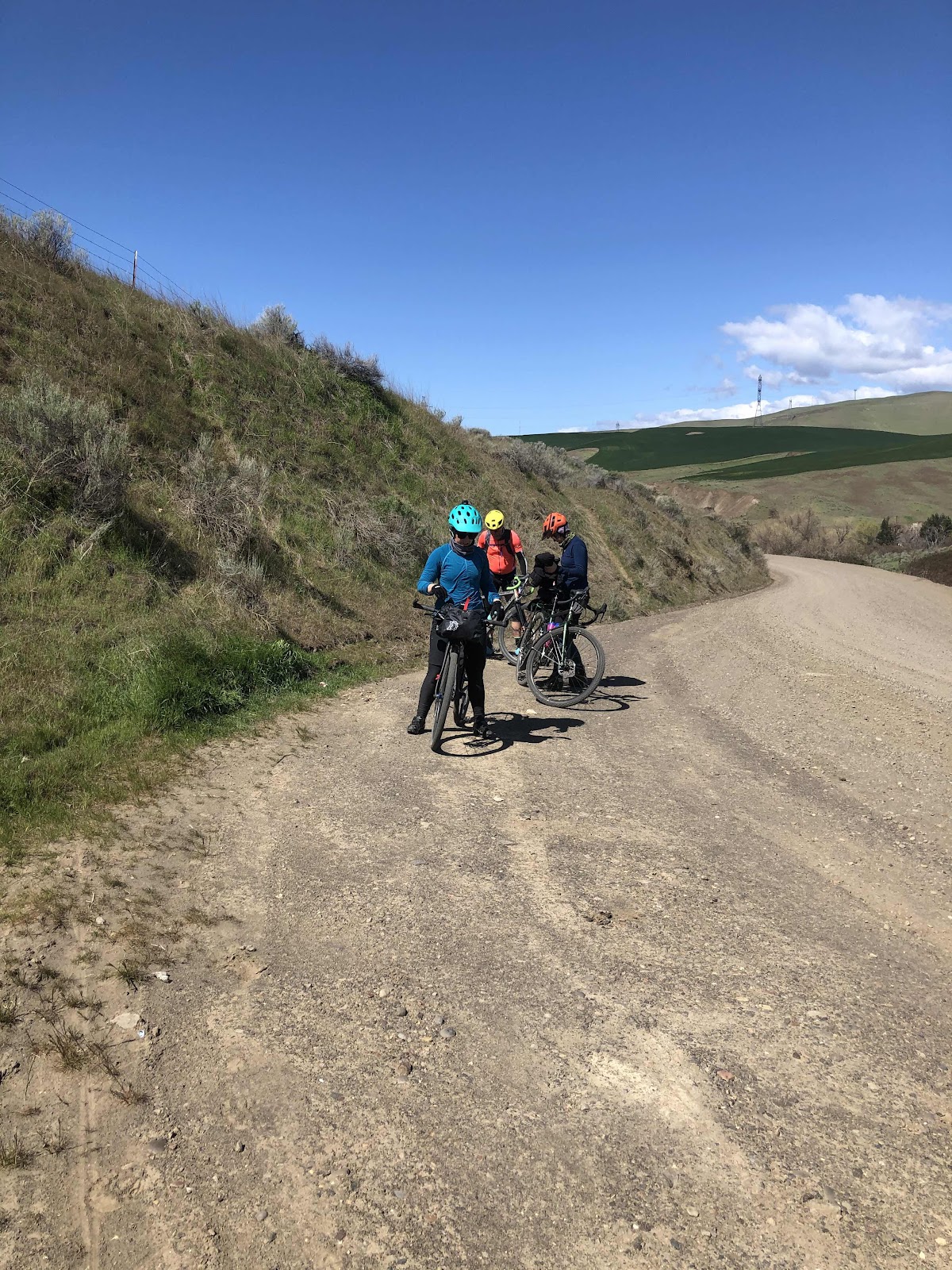
Shedding jackets before the climb. 

And they’re off!

Katie, Steph, and I stayed together most of the time. They would fly down the hills faster than me, then I would catch up to them on the climbs. We were rewarded on the climbs with multiple views of several of the Cascade volcanoes. Mt. Hood was in view the most, but also Mt. Adams. 
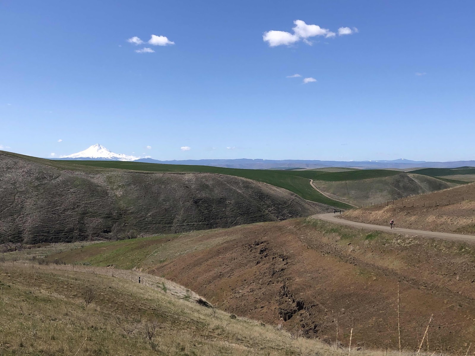
Mt. Hood
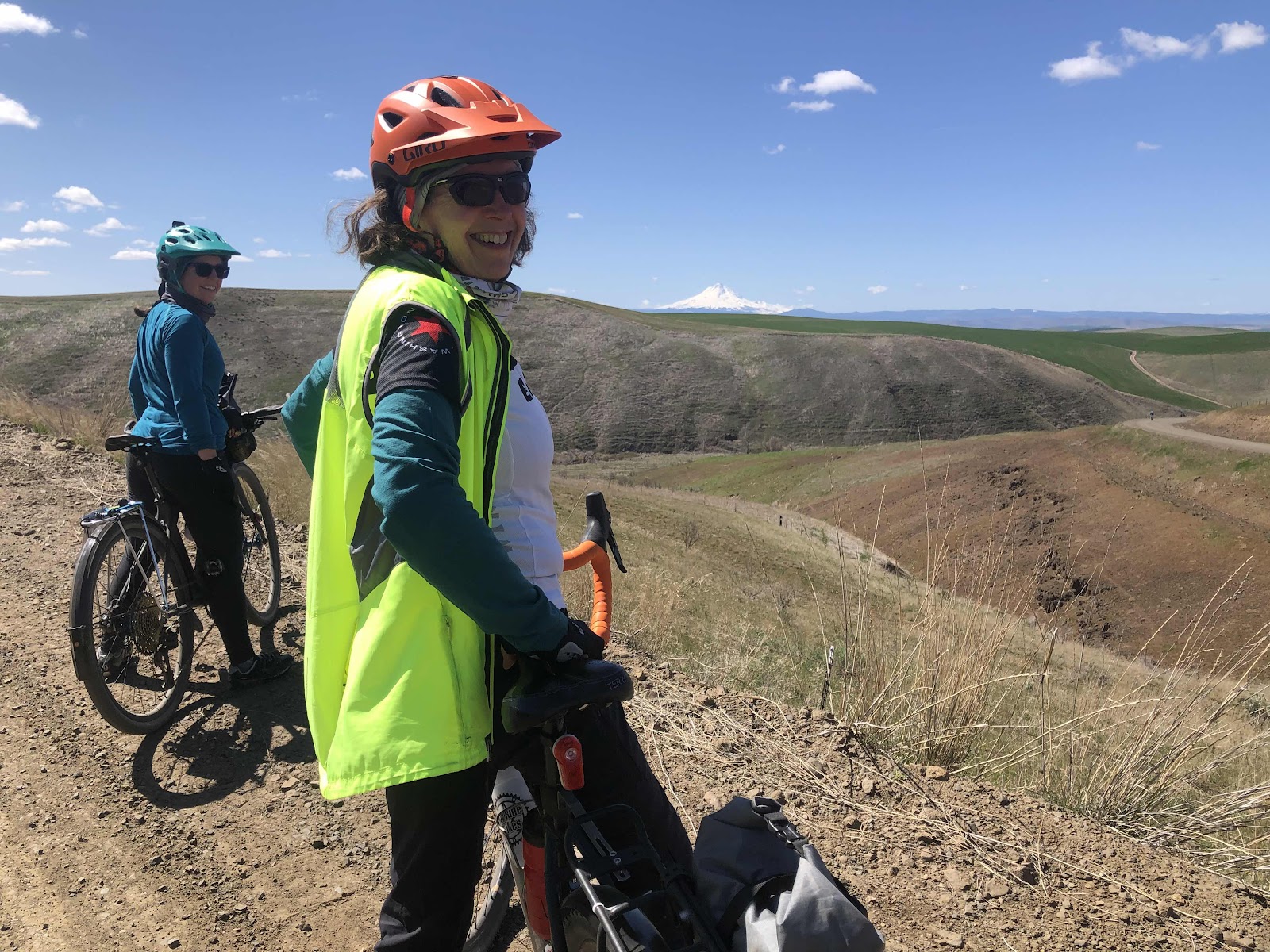
Katie and I...and Mt Hood. 
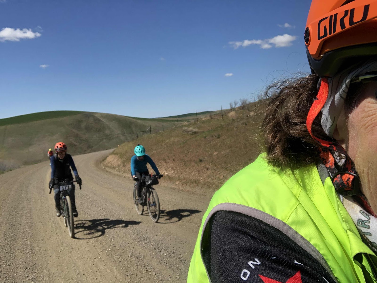
Steph and Katie. 

We came to where I had taken my last photo two years ago...the old schoolhouse. Of course, another photo was required with blue sky!
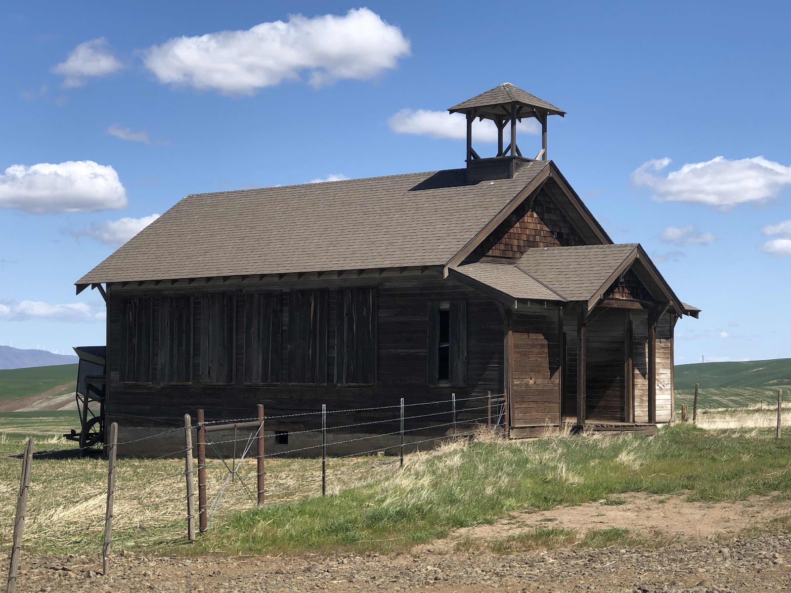
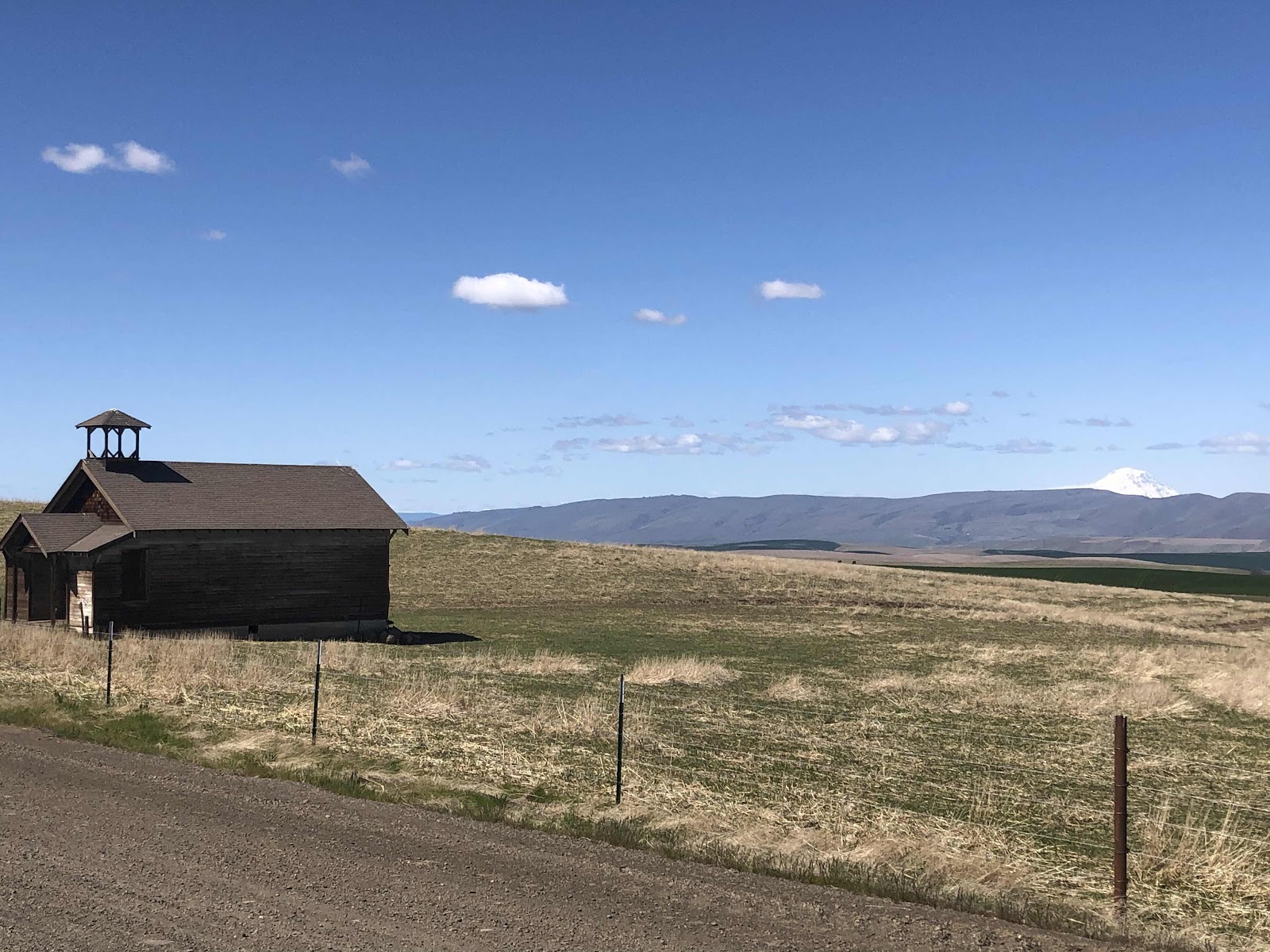

Schoolhouse and Mt. Adams

After the schoolhouse, we had a nice descent, but then began the longest climb of the day. It was several miles, but the views were spectacular. 
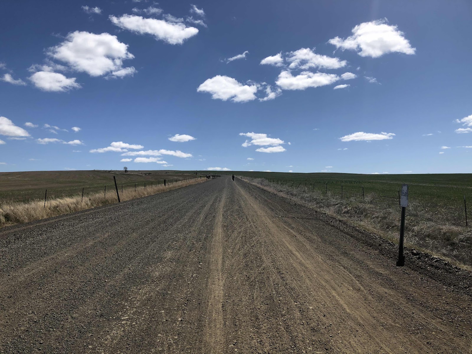
Long uphill on a wide gravel road. 
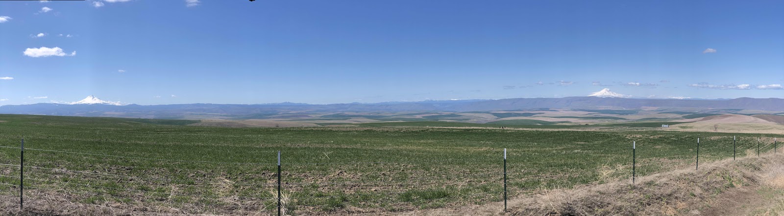
A two-fer!

One of my favorite photos of the day. 

We finally reached the second (and final) aid station. It was at the bottom of a steeper section of the long climb. 
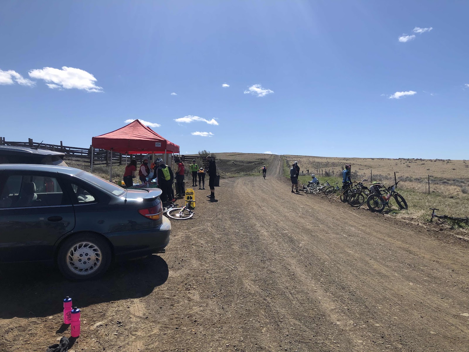


Katie enjoying some snacks (they had bite sized candy bars!)

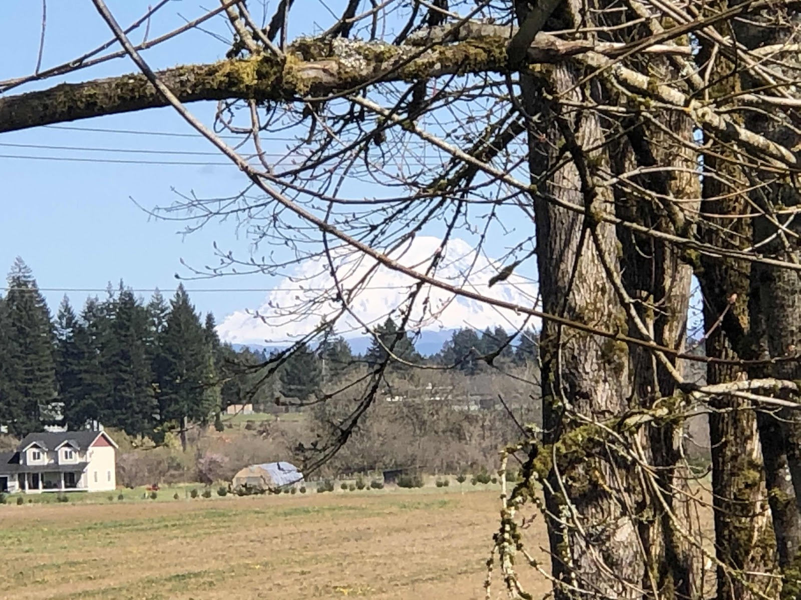
As we climbed after the aid station, we could actually see Mt. Jefferson, Mt. Thielson, Mt. Hood, Mt. Adams, Mt. St. Helens, and even the tip of Mt. Rainier all in one panoramic view! It was pretty incredible!
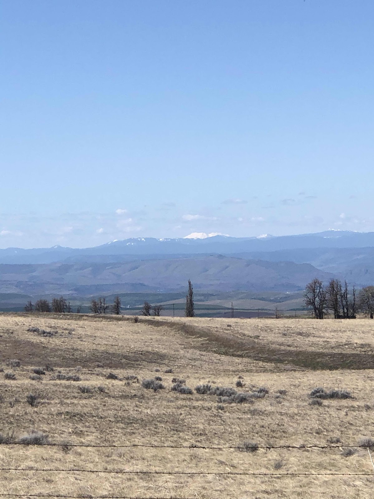
That’s St. Helens with Rainier to the right. 
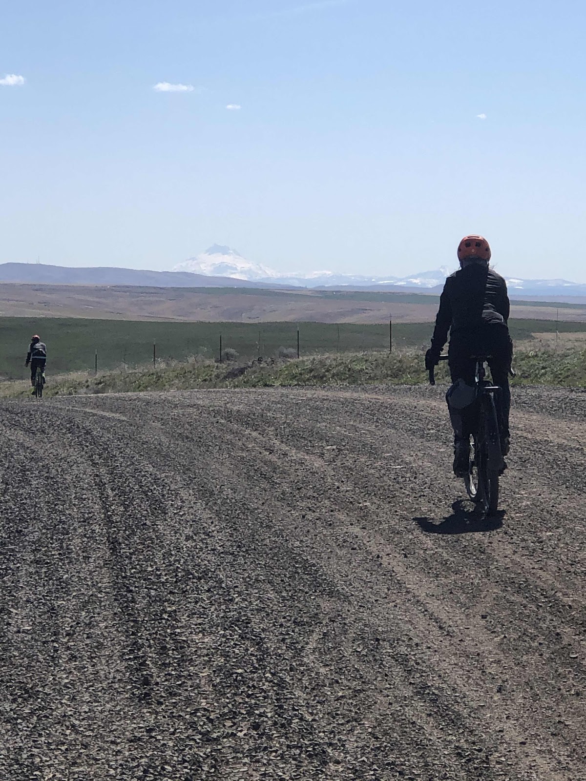
Mt Jefferson and Thielson (and Steph).

We hit the highest point (but not the last of the climbing. 
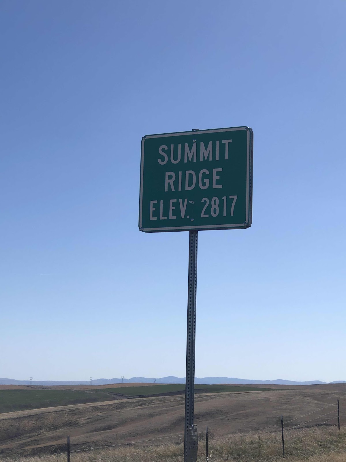
The summit. 

As we continued along, we came to a coffee truck. This was also the point at which Bethany had bailed the previous time (frozen fingers and toes make it mighty difficult to ride in mud). 

Totally different this time!

We had a long long descent that went by in a hurry. Soon we were just 5km from the finished line. Steph, Katie, and I crossed together, followed shortly by Jana, then Bethany. 
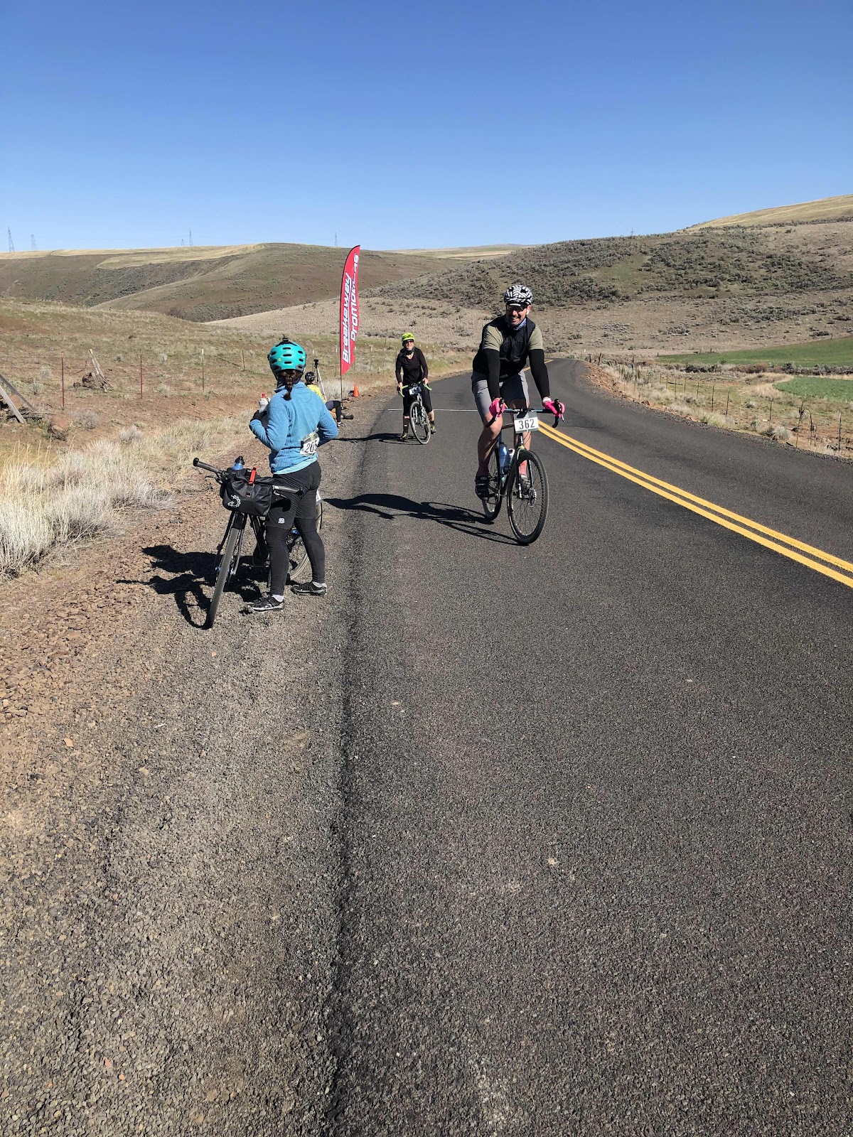
Jana has finished!
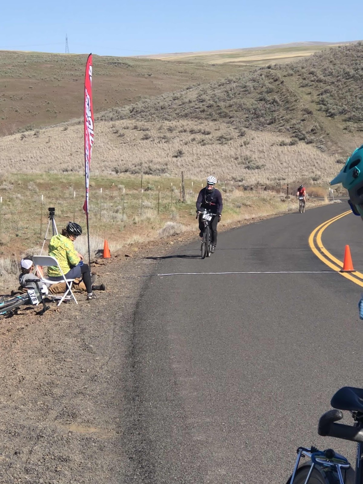
Here comes Bethany!

All that was left was to ride the final three miles back to the park in Dufur. 
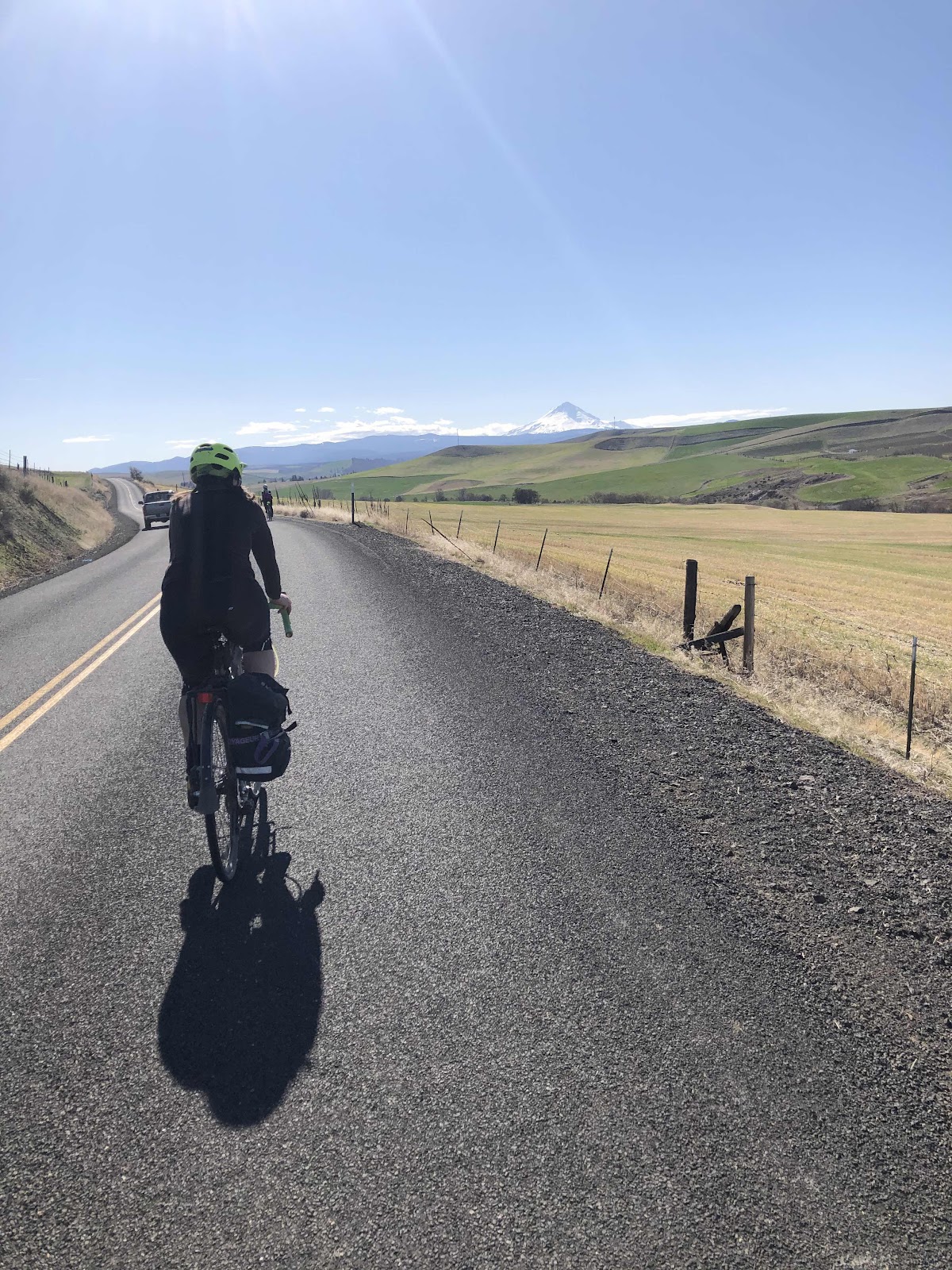
A final shot of Mt. Hood. 

Back at the park we got our food and pint glasses (and patch), and dined upon the grass. 
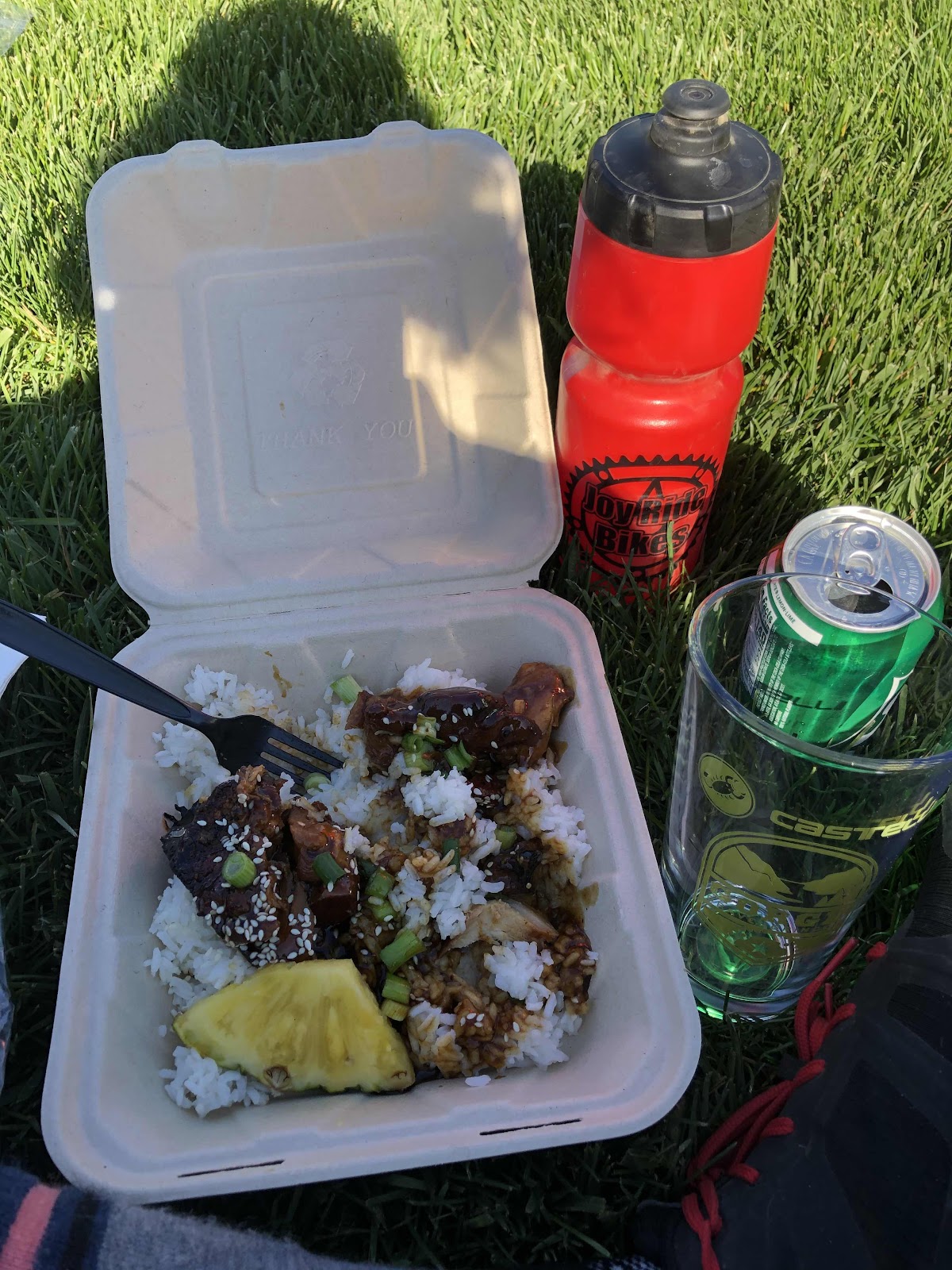
Teriyaki chicken and rice
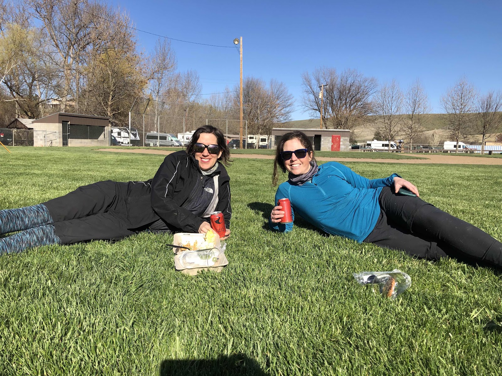
Steph and Katie 
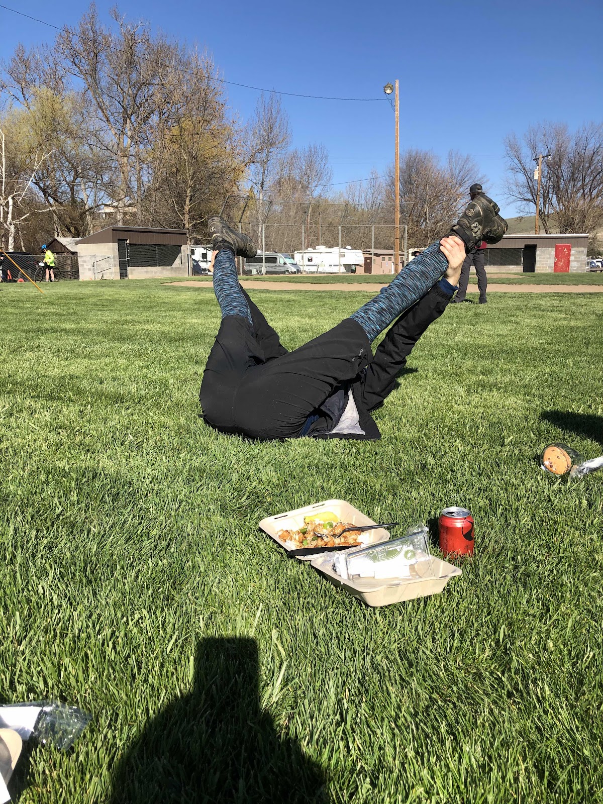
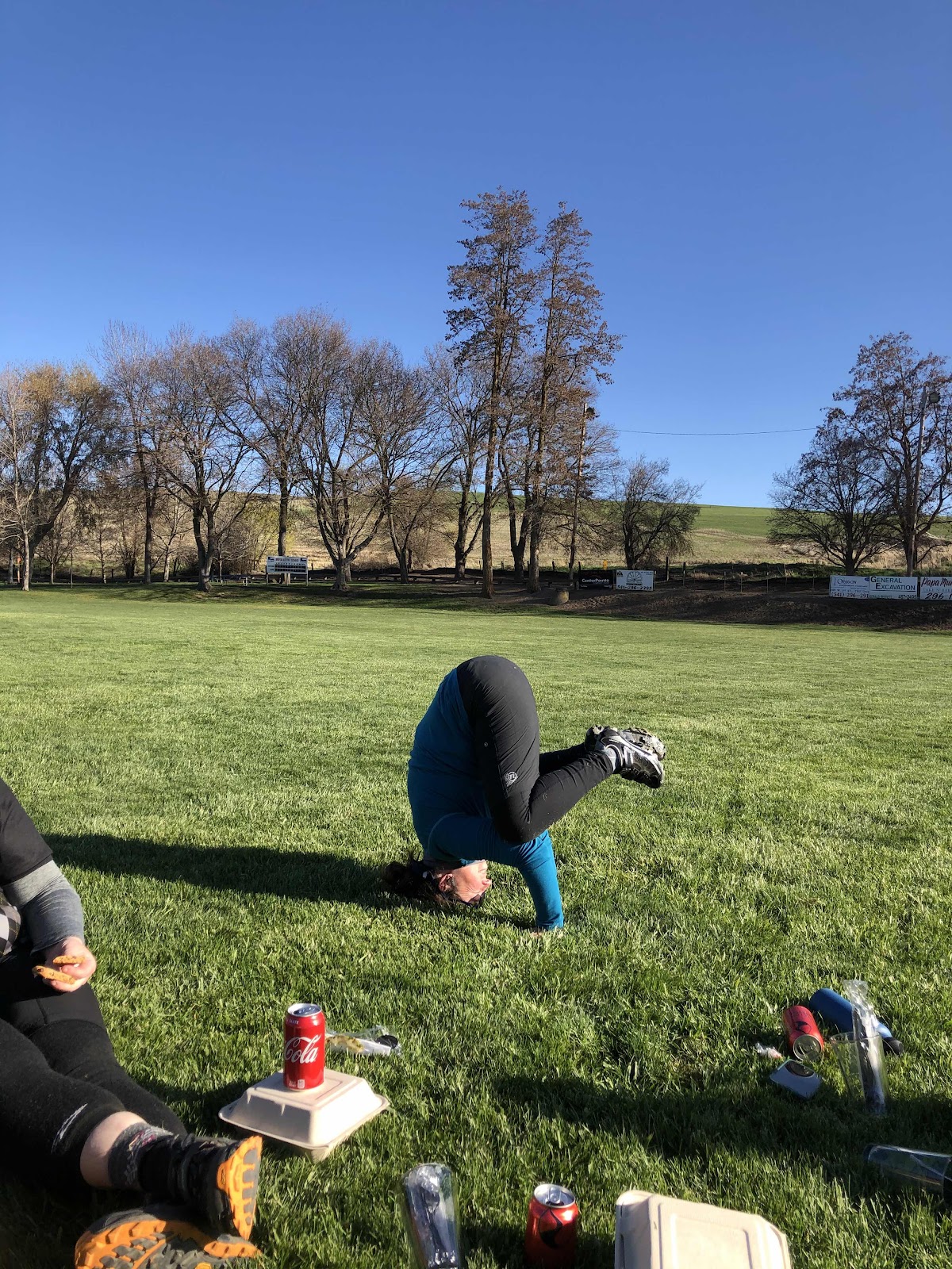
Steph doing some stretching. 

We kept watching for Polly to finish. She had texted Bethany saying she was almost done. We went over to cheer her as she came in. 
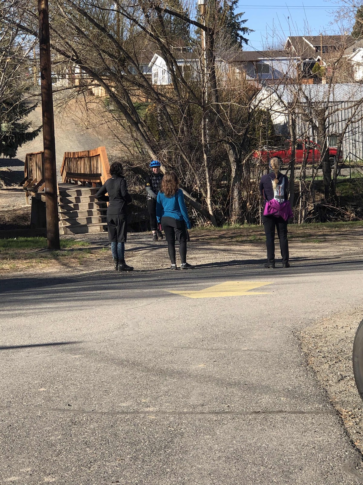


Well done, Polly!

Polly getting to eat her food. 

We all agreed that today’s ride was excellent. The Gorge Gravel Grinder has redeemed itself! Who knows...we might even try the Medium Grinder next year??? I mean...if some of us have this kind of energy after 52 miles...







Monday, April 5, 2021

If Only Radar Could Speak English

Day 1
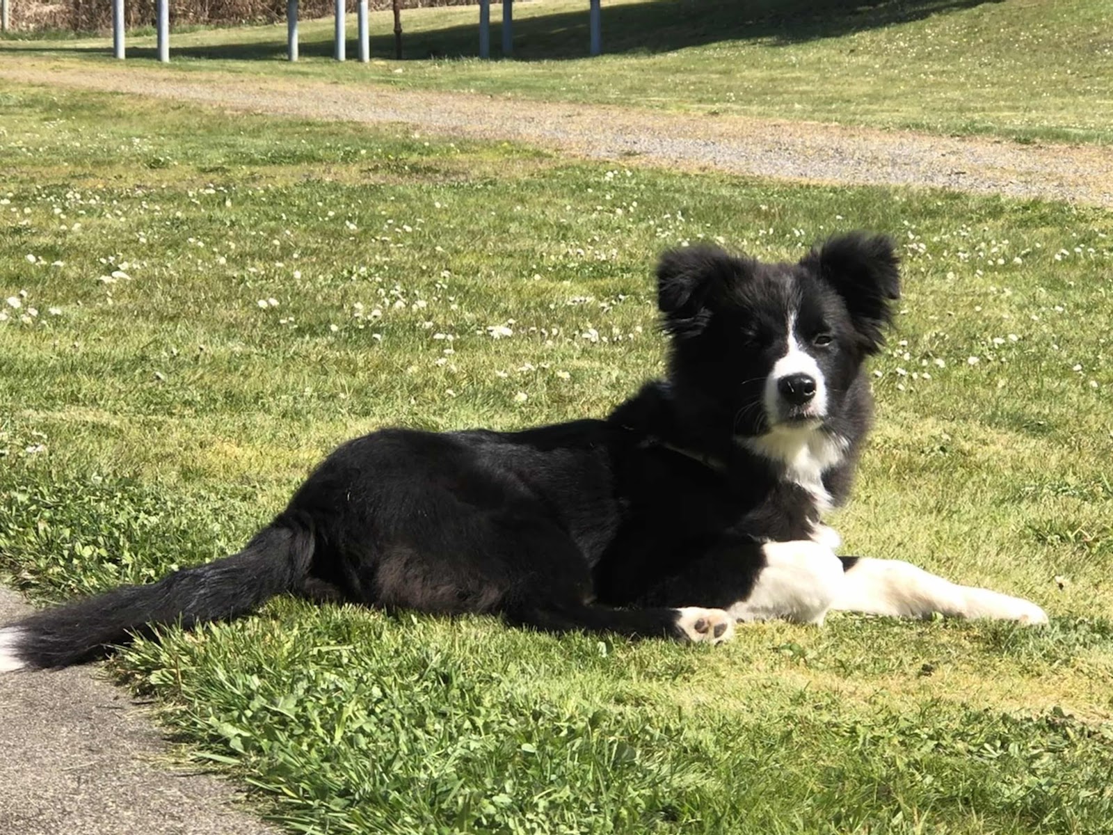
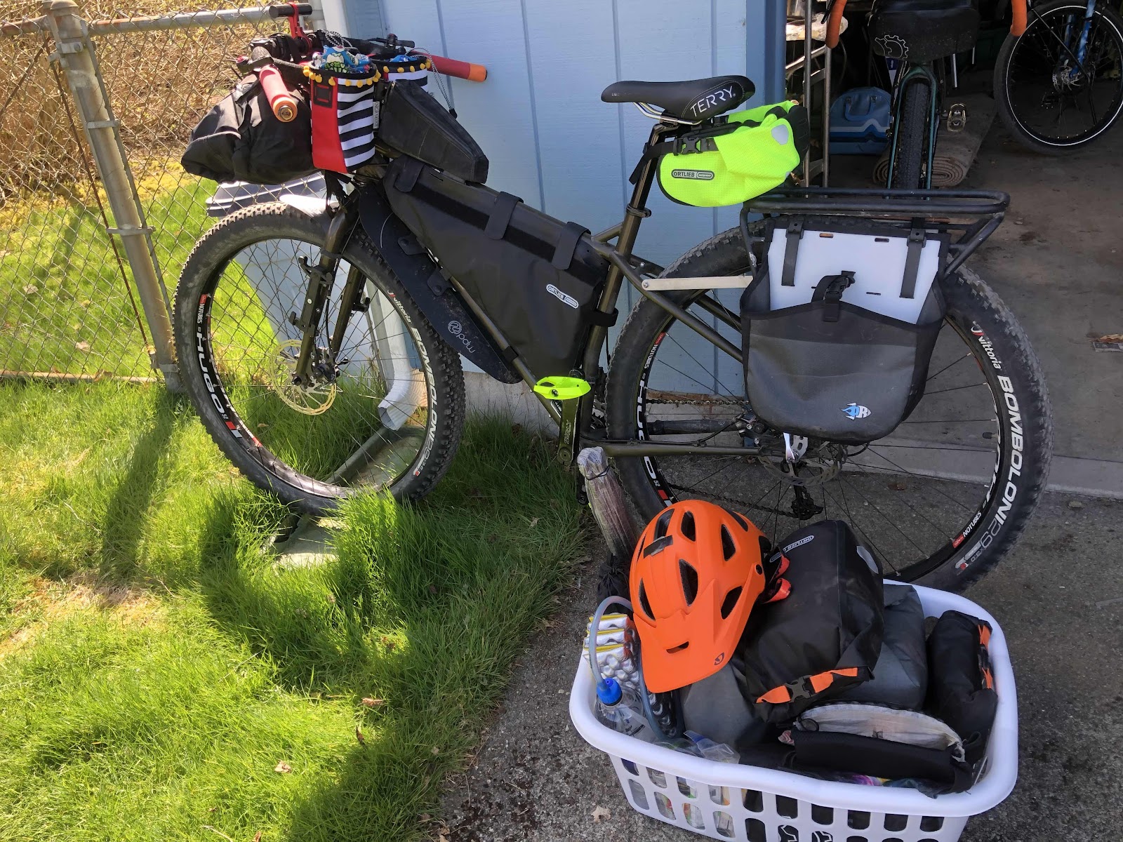
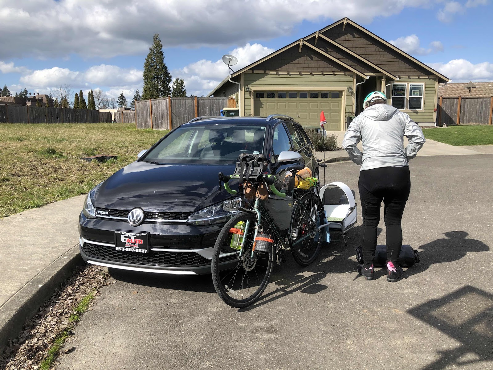
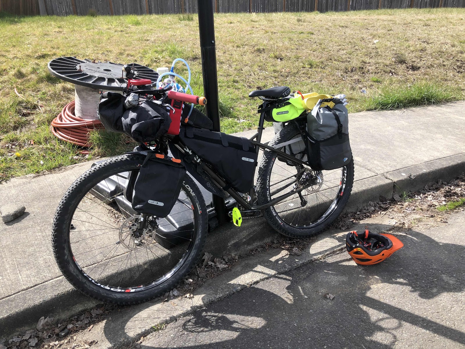
I loaded up Mama Cass with a full complement of bikepacking bags for an overnight with Jana and the “I Wonder” (as in...I wonder what he’s trying to tell us now) Dog, Radar. Radar is a 5 month old border collie, who is about the cutest pup on the planet. 

See? Pretty cute, huh?

Now, Radar has been out and about in his trailer for much of his post-weaned life. In fact, he’s pretty much close to being a pro...most of the time. Things he’s got down pat: “Basket” to get in the trailer. “Offload” to get out of the trailer, and run along beside (he has a bungee leash attached to the trailer). “Wait” to stay in the trailer, even when stopped. He’s really good at those commands. 

Radar has been to work and a few other places with Jana, and been on a gravel ride. But, the goal is for him to become a bikepacking dog. So, we planned an overnight to Rainbow Falls along the Willapa Hills Trail. 

Waiting for Jana and Radar to pick me up. 

Jana getting the bike and trailer ready to go. 

MC ready. 

Radar secured in his trailer. 

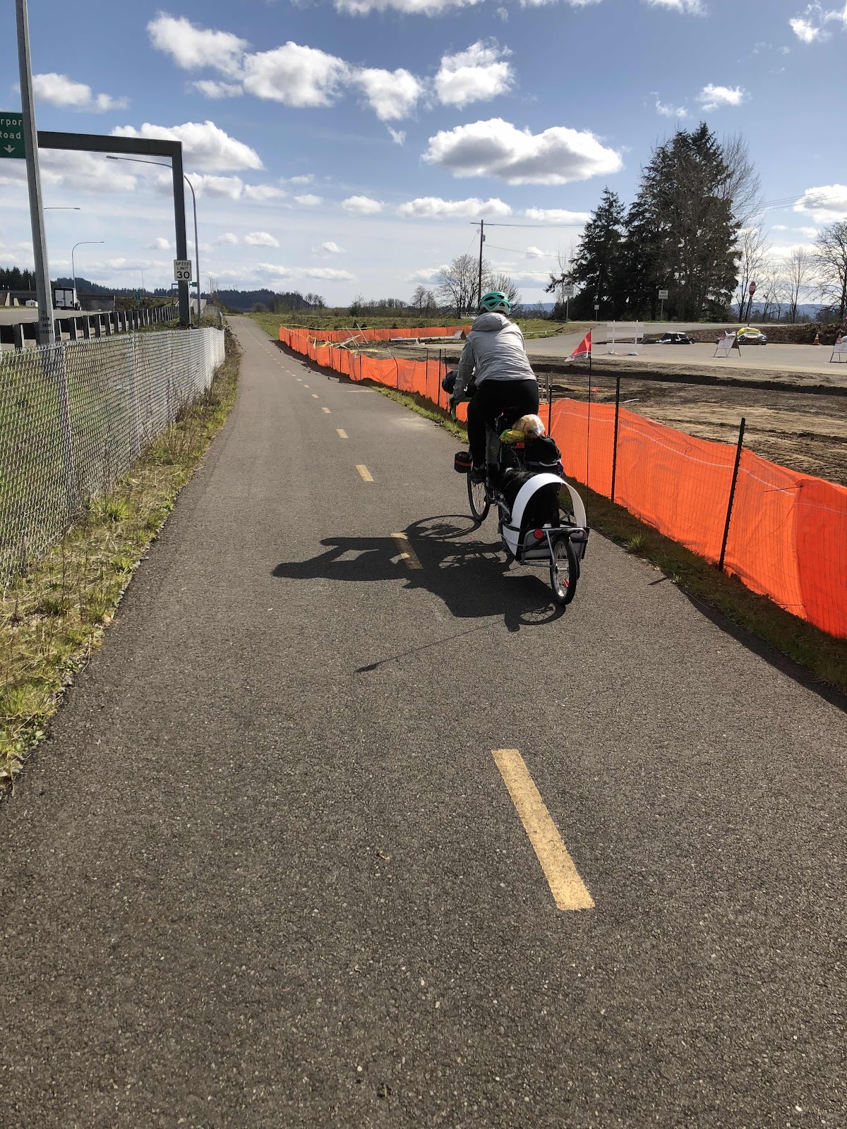
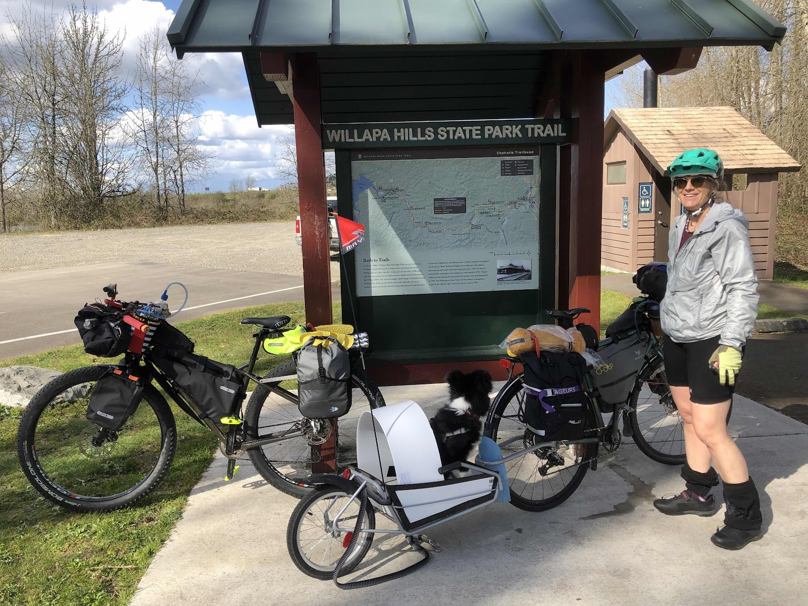
Because there’s not really good places to park at the Trailhead (overnight), Jana secured a parking spot at a friend’s house in Centralia. The trailhead is in Chehalis. Fortunately, we were very close to the Airport Road Trail that goes between Centralia (at Mellon St) to Chehalis and the other end of Airport Rd. Beyond the end of the path, we had a bike lane for the busiest part of the road. We made it to the Trailhead, and Radar did great (it was very noisy with all the traffic, and I-5 nearby).

Annnddddd...we’re off!

The Airport Road Trail 

Once we were on the Willapa Hills Trail, we were really enjoying the weather, and no traffic. 

At the trailhead in Chehalis. 

Here we go!

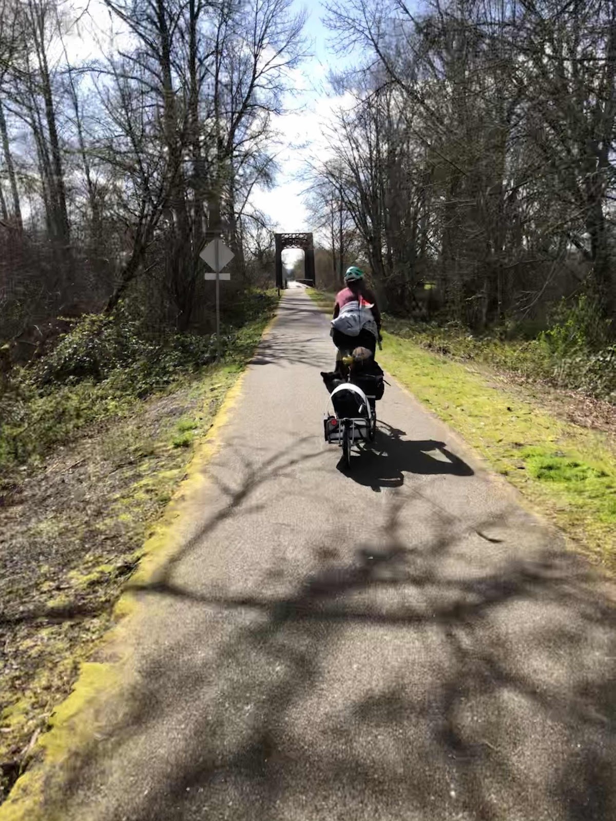
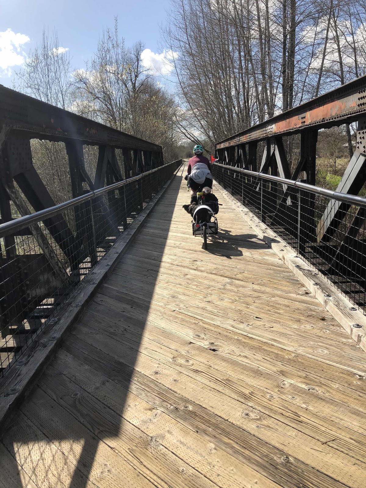
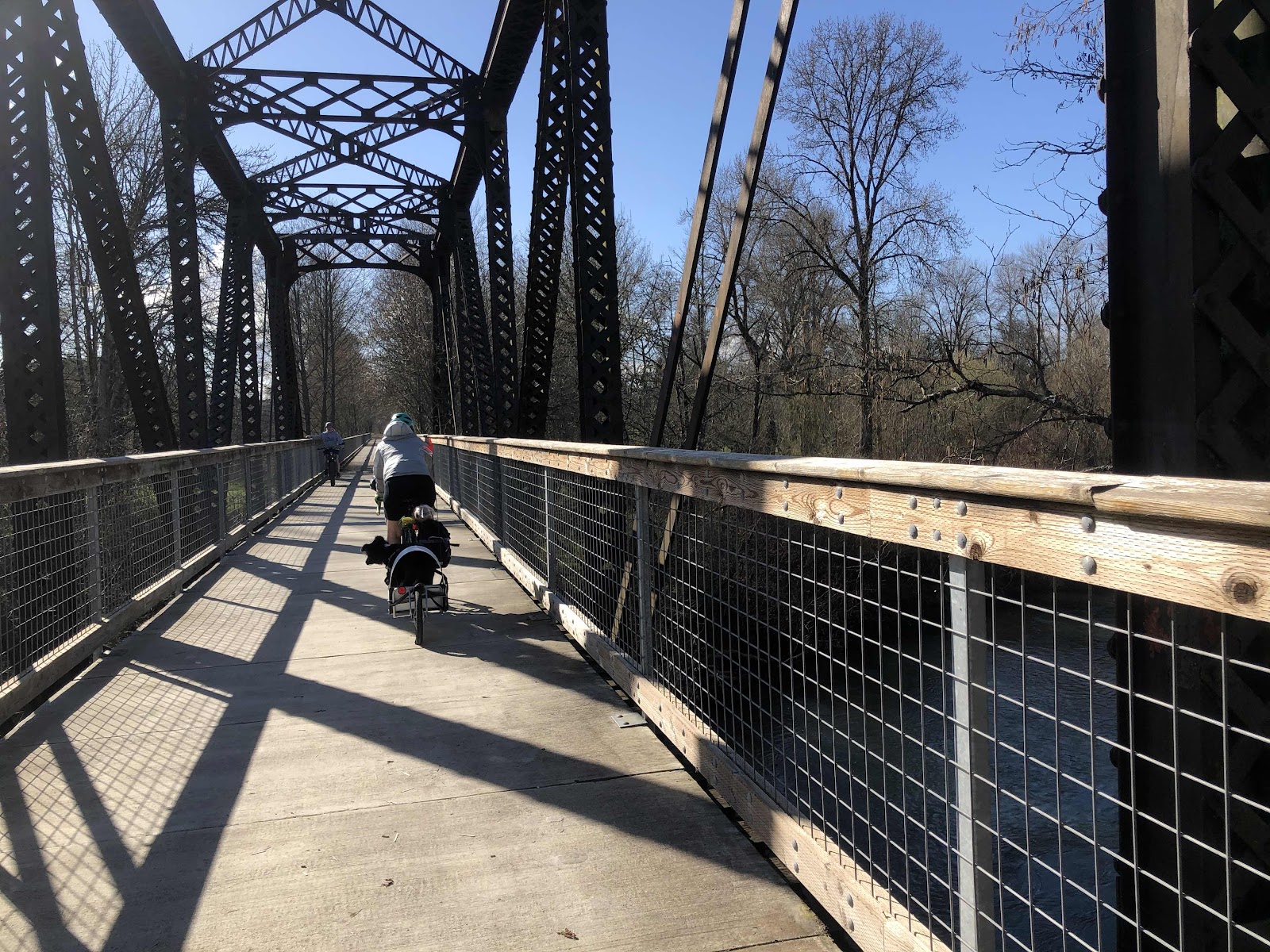
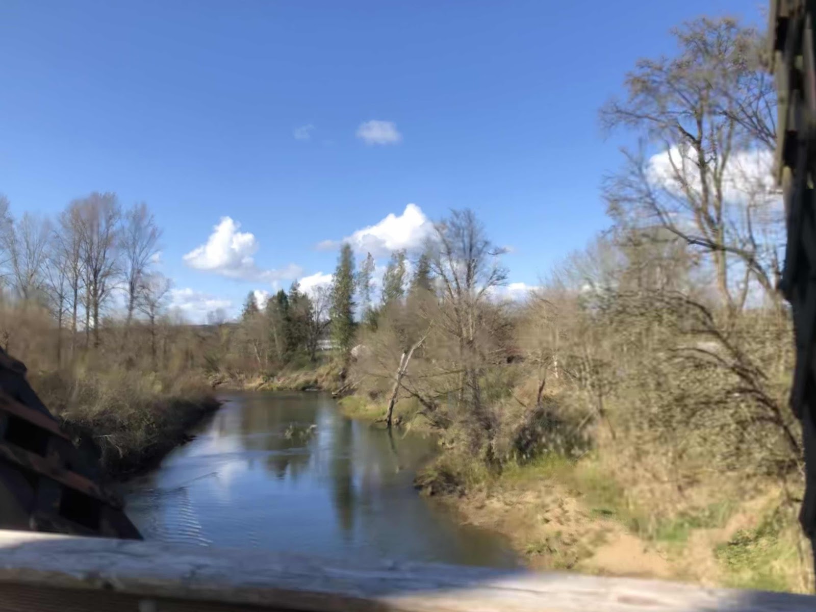
Crossing on one of several bridges over the Chehalis River. 

5 miles in, and a rest/potty/play break for Radar at the trailhead in Adna. 

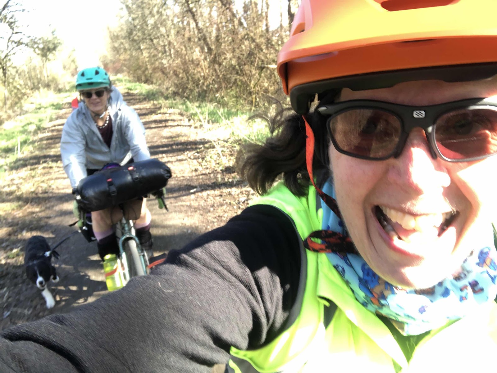
Back on the trail. 

Another bridge. 

Such a beautiful day!

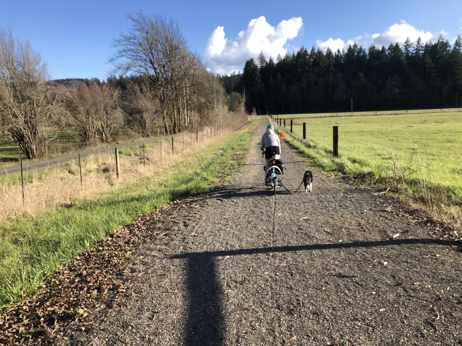
After awhile, Jana decided to let Radar run alongside for awhile (not too long because, well...he is just a puppy). This is his favorite thing to do! 

Run Radar run! By the way, this is the only time I can be in front. If he is in the trailer, and I am ahead, he howls and barks (if he could speak English, I’m sure he would be saying something like, “You can’t be in front of me! I am the leader of this pack...even though I’m riding in this basket, and my mom is really the leader!”)

Running alongside, on the spur trail to the park. 

We were about a mile from the park when Radar decided he needed to tell us something. He began barking and whining, and even though Jana was telling him “NO!”, he wasn’t getting the message. She let him out to run once we were close to the park. Since he really loves to run, he was no longer trying to get his message across. 

We got to the campsite, and no sooner was Radar let off his leash, when he took two dumps in a row! “Ahhh...” we said, “He was trying to tell us he had to poop!” Of course, we then forgave him for all his barking. After all, it was our fault we don’t speak dog!

Jana and I set up our tents, and cooked a delicious dinner of fried polenta, sautéed zucchini, mushrooms, chicken, and walnuts (and I had Gorgonzola cheese on mine-Jana is dairy free). After cleaning up, and taking care of necessary bedtime chores, we retired to our tents. 

Day 2
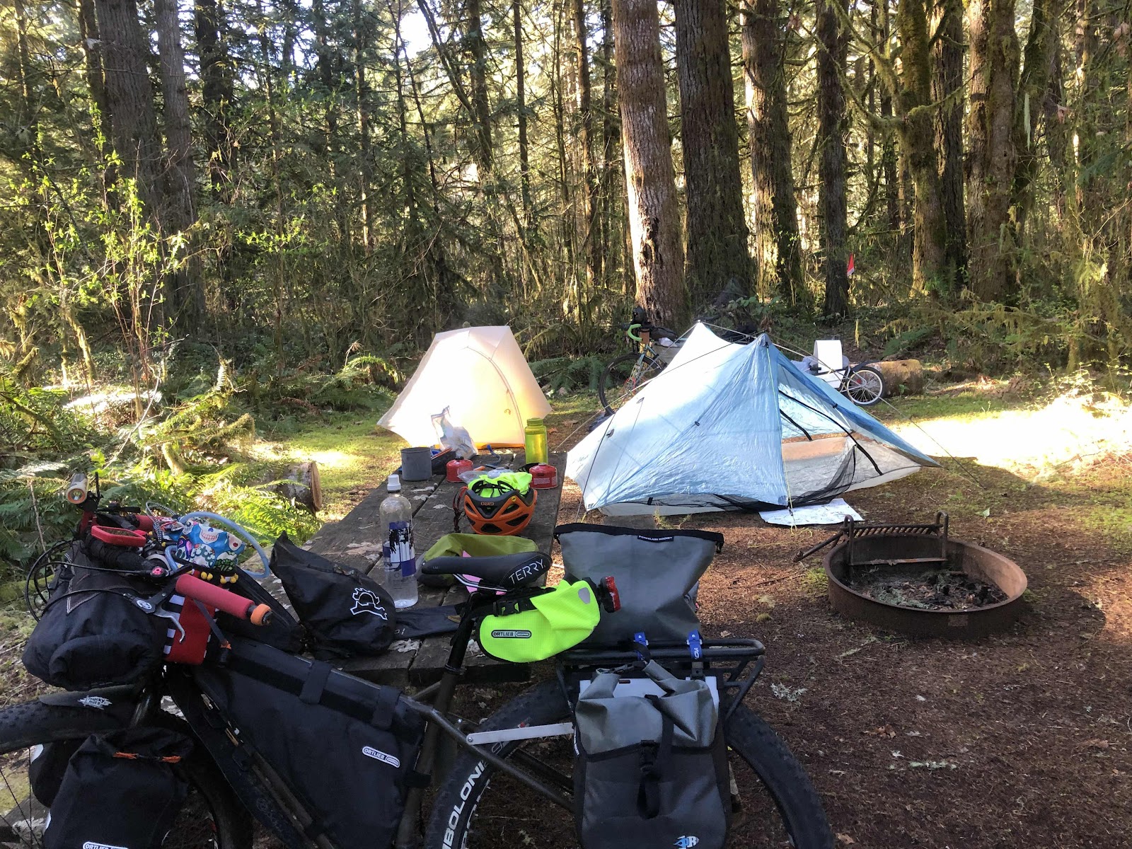
We knew it was going to be a cold night, and indeed it was. Definitely into the 30s. Poor Radar was cold. Jana covered him with her clothes, and then he was okay. Since we didn’t really have a time schedule, we didn’t rush to pack up. 

Starting to get things stowed away. 

Radar came with me to get water. He knew exactly where to go to get back to our campsite. He played in the woods, but never went far. As soon as Jana called him, he’d come racing back. 

“I’ll just chew on this bone for a hot minute.”

About 10:30 or so, we were ready to go. We decided to first go to Pe El to add some mileage to the day. From Rainbow Falls, it is 7 miles to Pe El. Well, the day didn’t seem to be starting too great for the pup. He was whining and barking right from the start. We tried to figure out what he was upset about (too open? I’m riding too close? I’m not close enough?...). Finally, we stopped and Jana sat down with him to calm him down. He wasn’t thrilled about getting back in the trailer, but he did. Once we started rolling, he started barking again. I started to notice, if we just ignored the barking, he would eventually stop. Then he’d pick up again, but if we didn’t say anything, he’d settle down. 

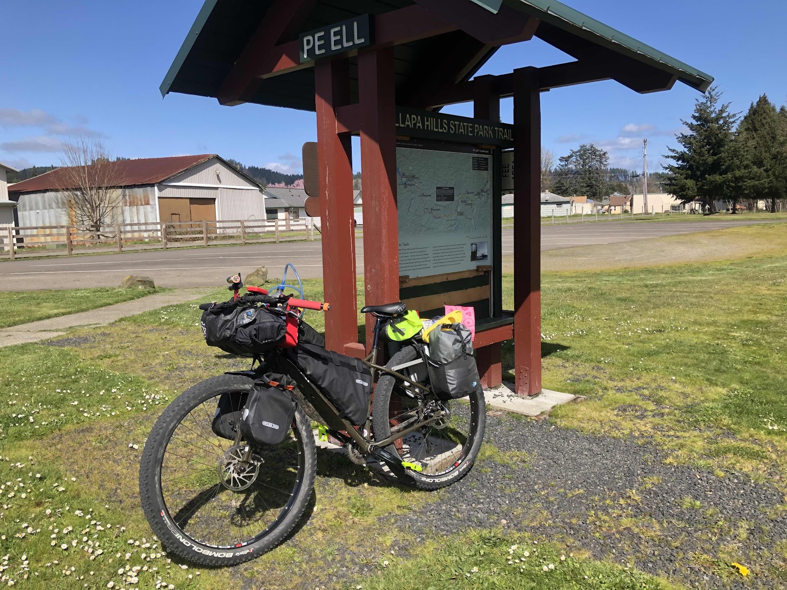
Jana let him out to run just before we got to Pe El. We took a long break in the warm sunshine at the Pe El trailhead. Radar lounged in the grass. 


A good break. 

Yes, I’m cute!

As much as we could have soaked up that warm sun all day, we still had 27ish miles to go back to the car in Centralia. 

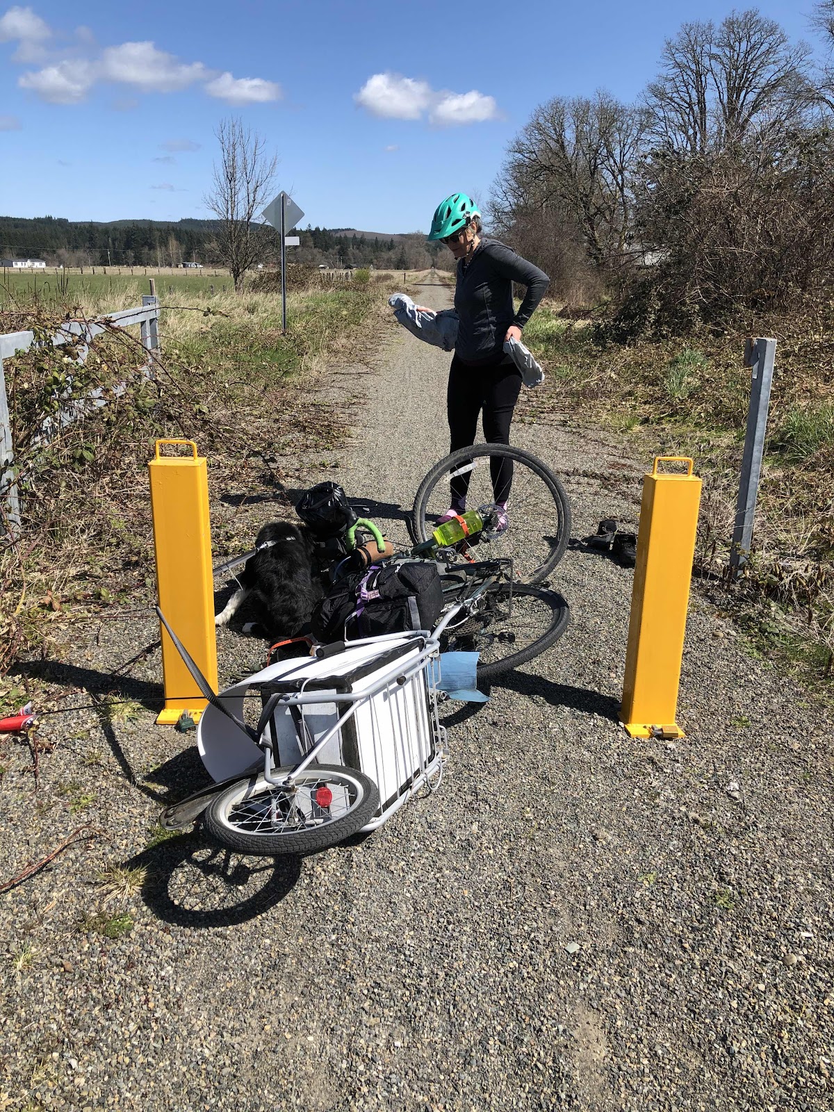
Things were going pretty smoothly. Radar was only whining once in awhile. At one point, we stopped so Jana could take off some layers. She leaned the bike against a post. Radar was in the trailer. Then, the bike and trailer fell over. Radar just jumped out of the trailer as it was falling over, and didn’t seem to be too traumatized by it. 

No crash here...just a tipped over bike and trailer!

Jana let Radar off his leash, and he promptly went over and peed. Ahhh...maybe that why he was whining (will we never learn?).

We stopped for another break at the Ceres Hill crossing and trailhead. Who should happen to roll up? Rebekah and Florian! They were out for a ride on the trail too!

The remainder of the ride back to the trailhead went very smoothly. Radar didn’t hardly whine or bark. He got out to run a couple of times, then rode quietly. He was getting tired, I’m sure. 

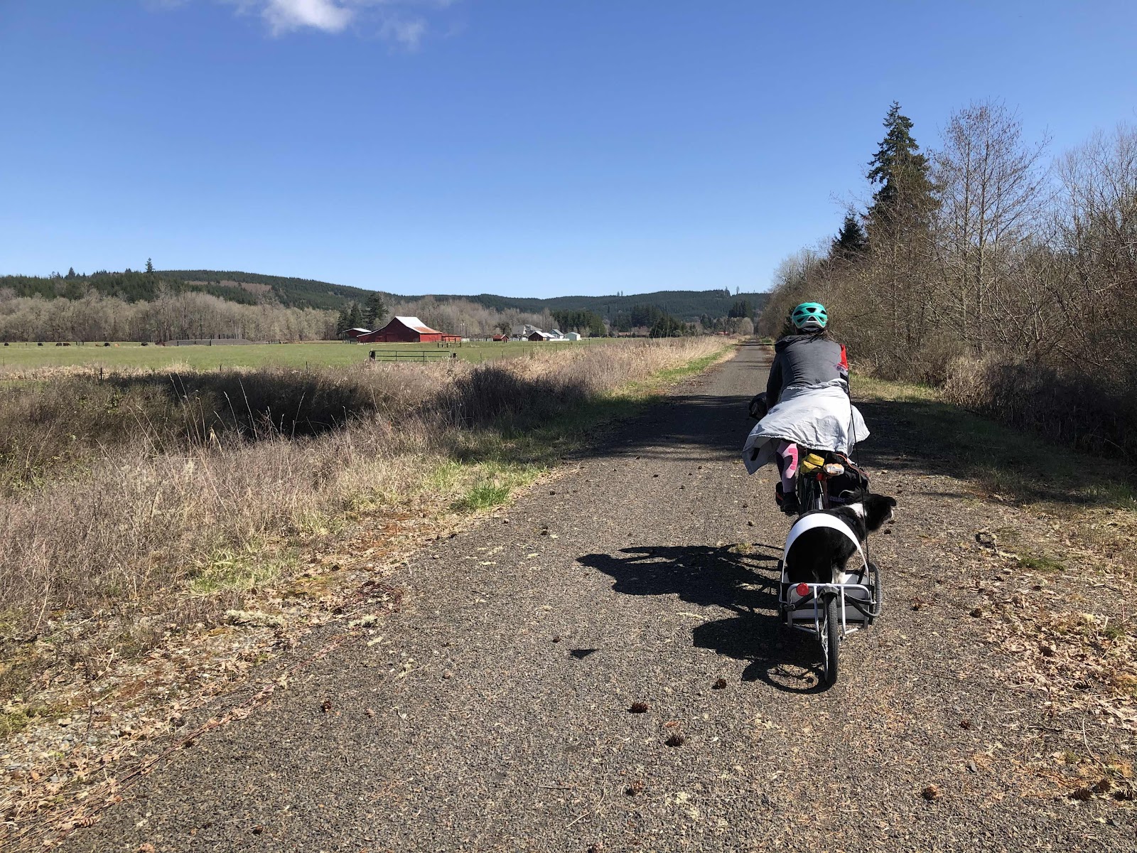
Just rolling along...

Mt St. Helens. 

Jana and I decided we would go for some Mexican food at La Tarasca. I’ve eaten there just once before, and Jana had eaten there when they were in a different location. After a little riding around, we found it. The food hit the spot, and Radar was so tired, he just crashed under Jana’s seat (we ate outside). He was so tired, that for a brief moment, once we were going again, he laid down in his trailer. It didn’t last, but maybe he’ll learn that he can relax. 

We made it back to the car, and congratulated ourselves on a highly successful first overnight for Radar. Now we need to plan the next one!


Saturday, January 2, 2021

8 Women From Oly Town Brave the Singletrack of the Thing Called Gravenger Hunt


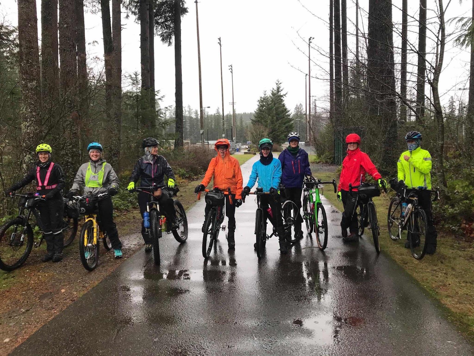
Thanks to Reeve (the course creator) for this group photo. L to R: Stephanie, Amy, Jana, me, Beth, Linda, Bethany, and Karen

A guy named Reeve set out to create a scavenger hunt for gravel bikes. He created a course that we would follow by scanning QR codes at checkpoints to then open up Google maps and get directions to the next checkpoint. This was in the Black Diamond Open Space area near the town of Ravensdale. 

The course started at Ravensdale Park. Reeve was there to get us going, and answer any questions (and he gave us each a Clif Bar). 


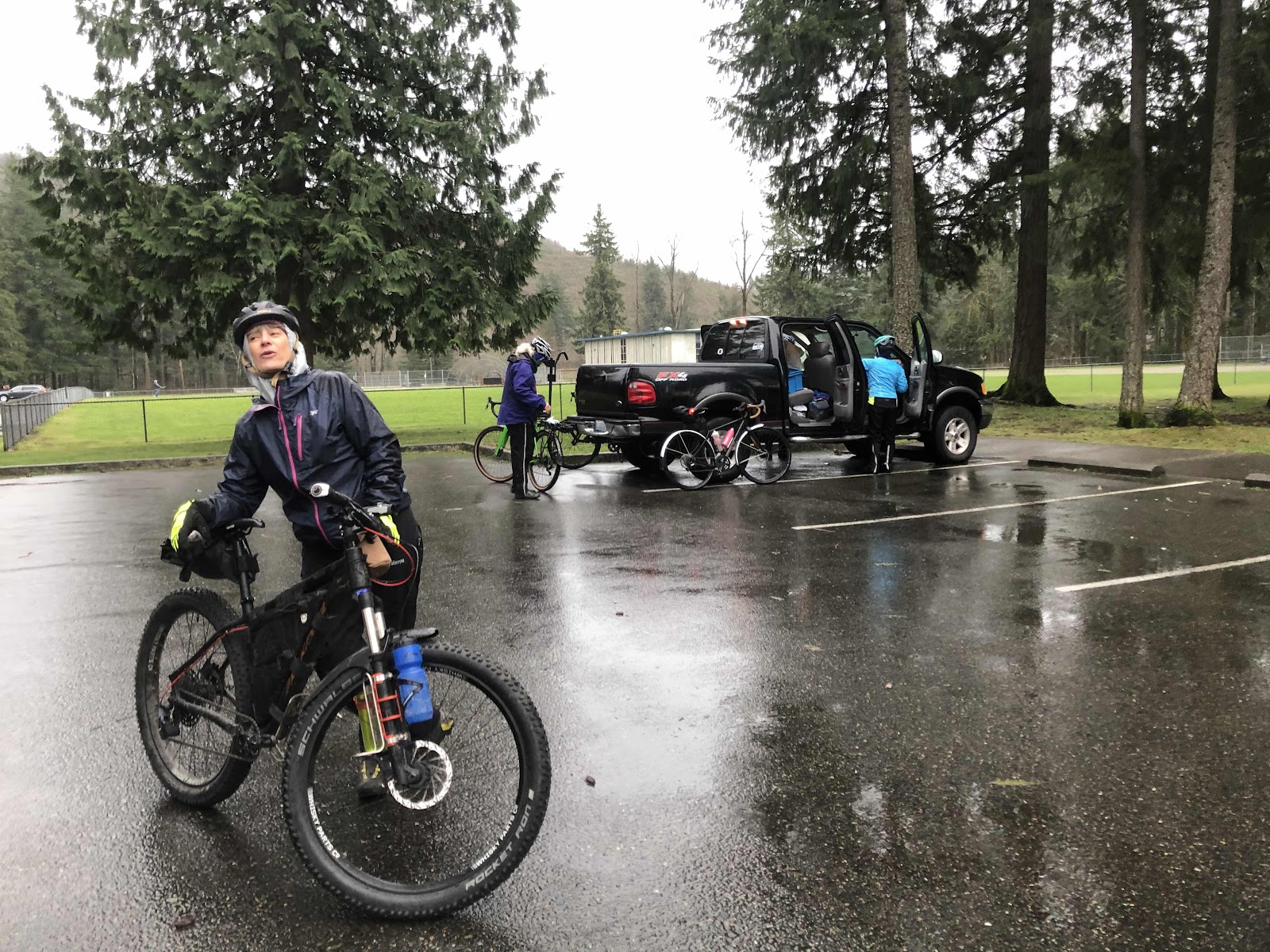
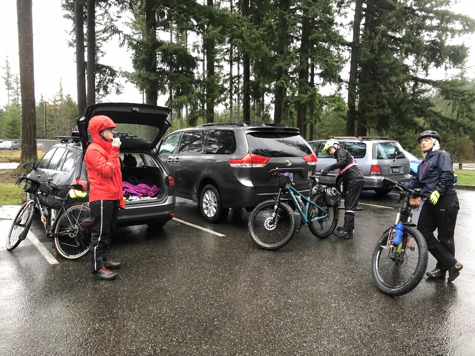
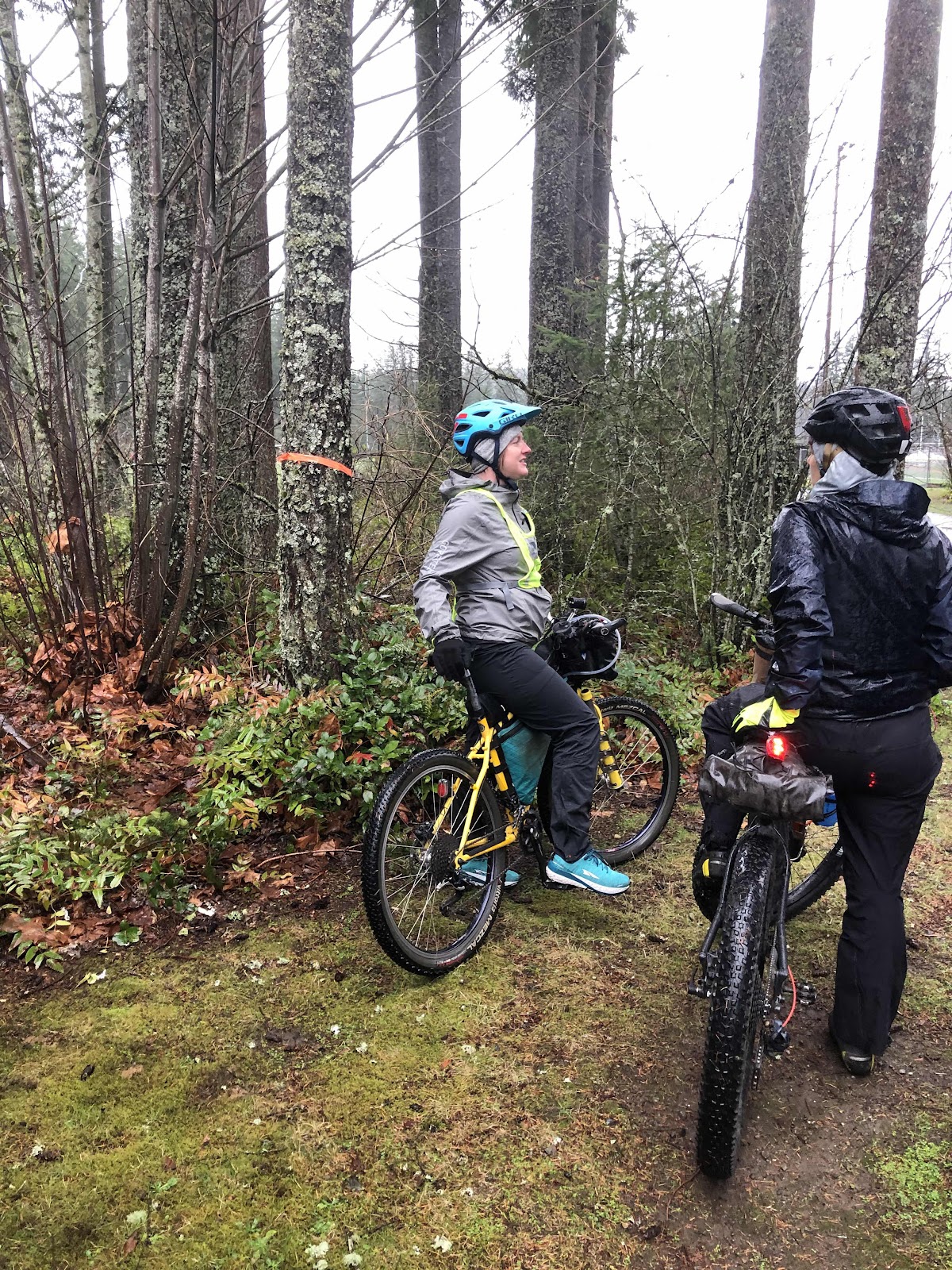
Getting suited up and ready to do this thing!

The weather was less than optimal, but not too terrible either. It was just a typical rainy day. First we did a little walking course to make sure we understood the process of scanning, and navigating to the next checkpoint. Once everyone had that figured out, we scanned the first checkpoint of the course. 

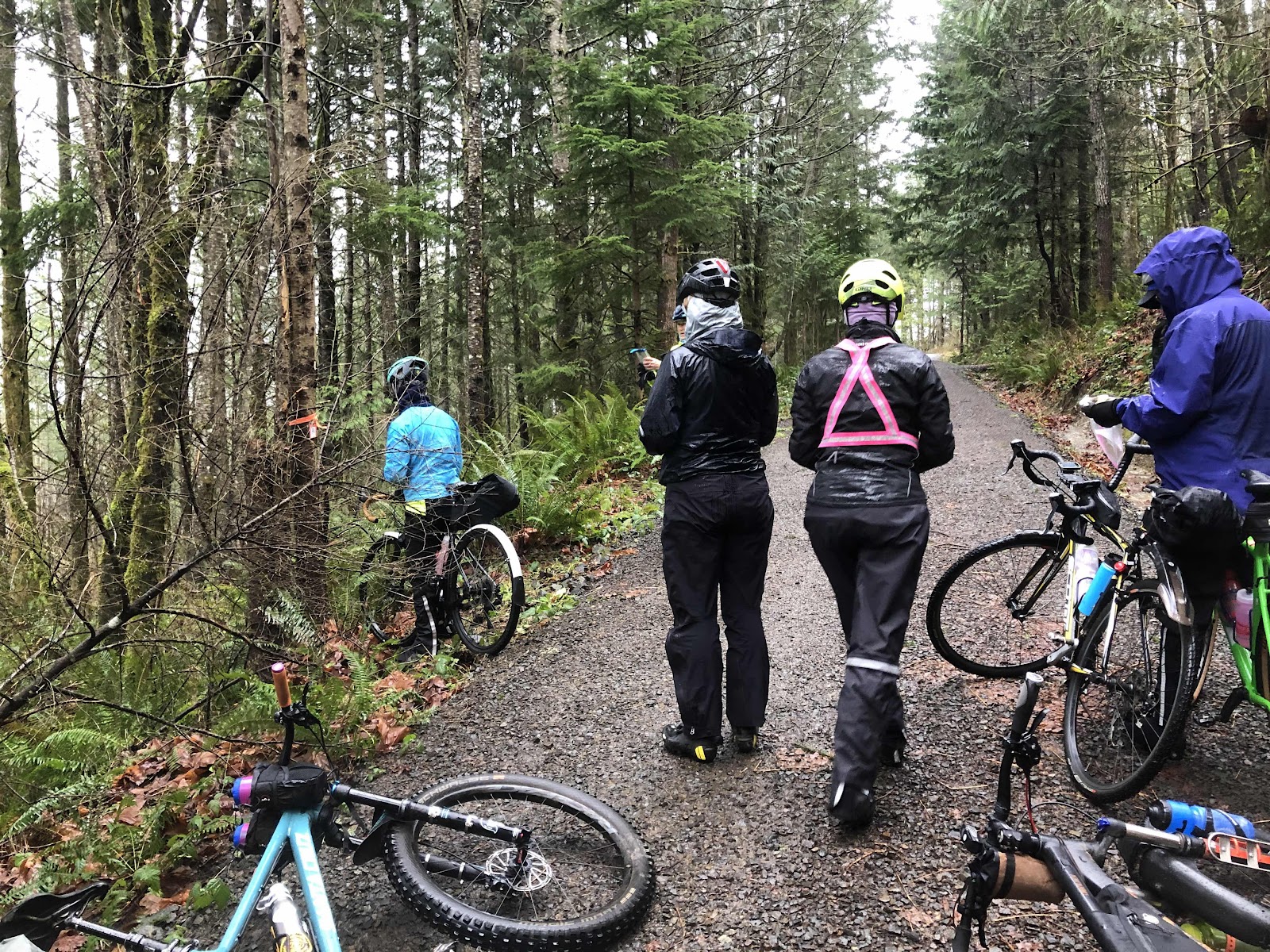
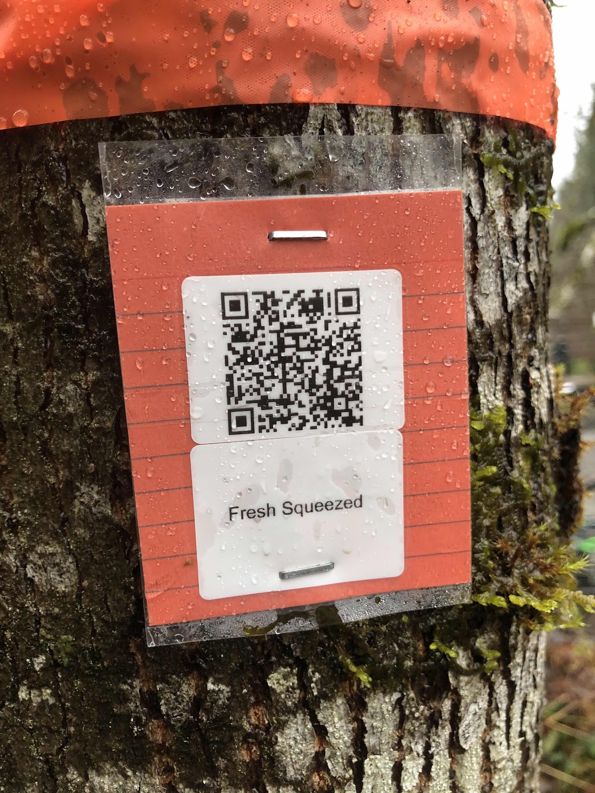
The checkpoints were marked with orange tape around a tree (on the other side of the tree is the QR code card). 

We set off right on schedule at 9:30. Karen and Beth had their phones mounted to their handlebars. This was quite helpful. Mine was in my chest pocket of my raincoat. While I couldn’t see the map, I could hear the directions. This worked...mostly. The first section to the second checkpoint was mostly pavement (1/2 mile). At checkpoint 2, we were now on gravel that rapidly became singletrack. 

Second checkpoint

Karen and I (photo by Karen)

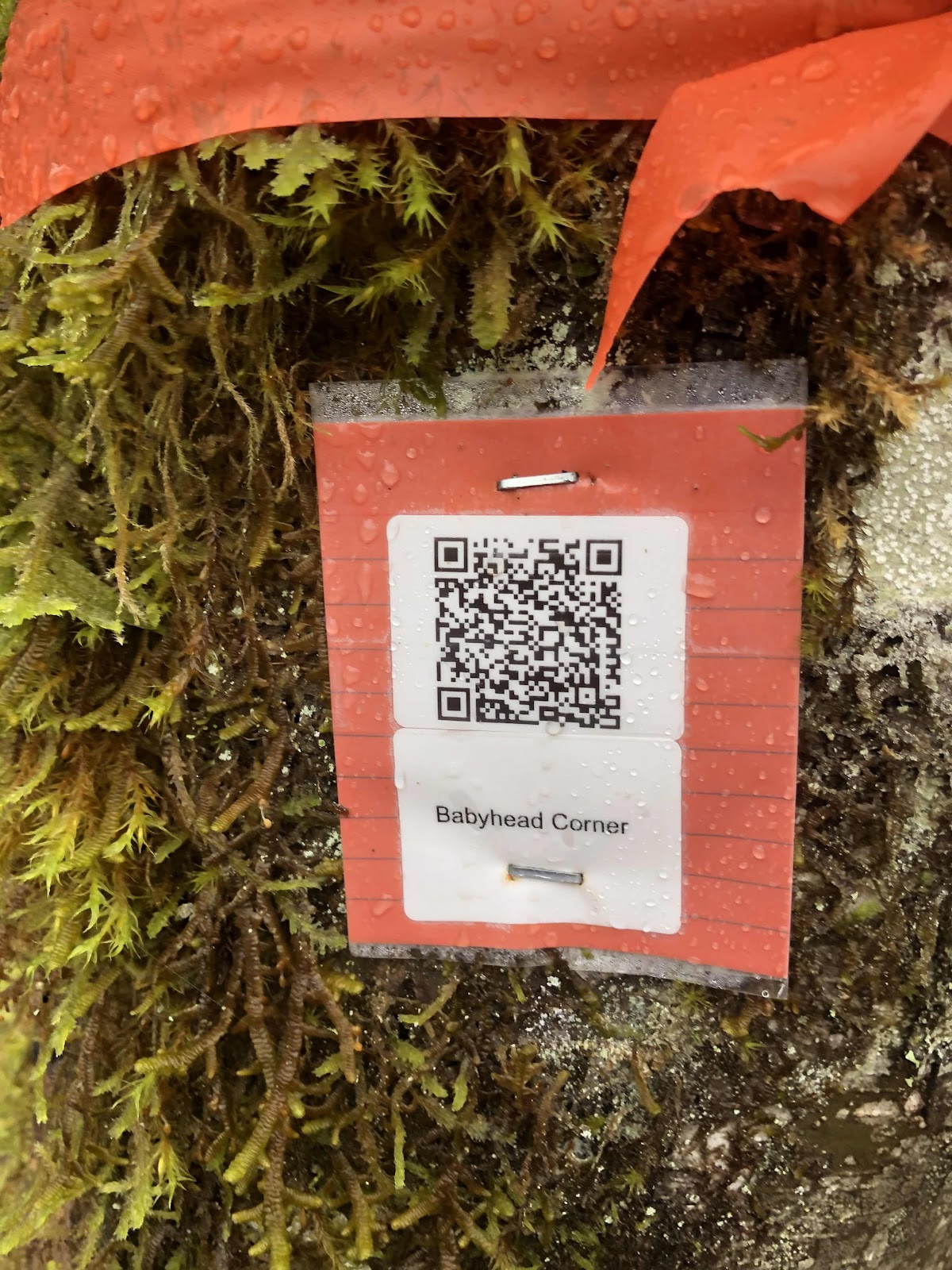
Example of a QR code card. 

We continued in this fashion, riding from checkpoint to checkpoint. For a “gravel” ride, it was pretty much all single track. Those of us not on mountain bikes did go an alternative way that kept us on gravel instead of a trail. That was the only time Google Maps gave us two options. We were on trails with names such as Rte 66, Broken Arm, Fresh Squeezed, Choosal, Berm-a-nator, Deliverance, and Tribulation. Some almost qualified as gravel, but mostly it was singletrack. There were rocks and roots galore. I walked quite a bit. I am not a mountain biker (Mama Cass may have been a better tool for the job).

“Babyhead Corner” does not instill confidence. Actually, that turned out to be one of the easier sections. 

Google maps was not necessarily always right. We also used Trailforks to give us a better picture of the trails. Sometimes we used this...
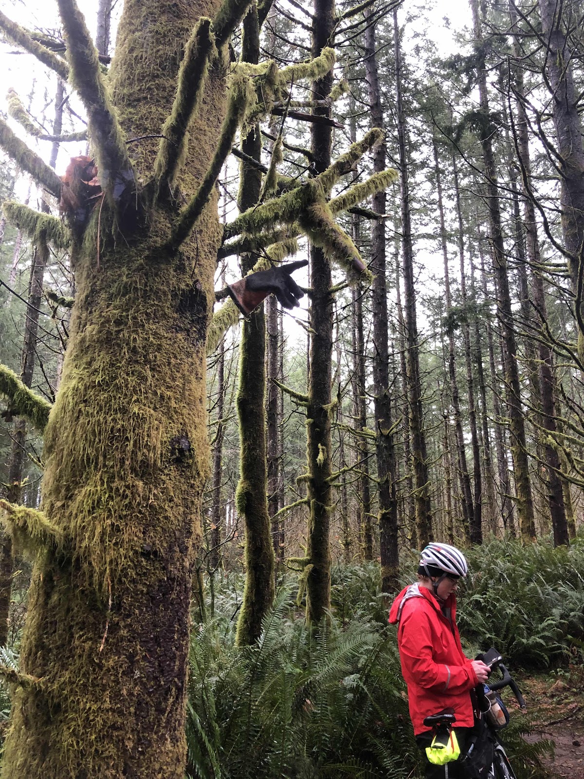
See the glove in the tree pointing the direction we needed to go?

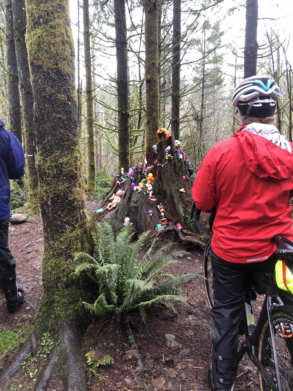
We also came to this landmark (but not a checkpoint).

This is the Toy Tree (really, it’s a stump). 

We encountered a few other people riding the trails, but they weren’t doing the Gravenger Hunt. We also encountered a few hikers. If we weren’t out in the same weather, I would think they were crazy. 

The wind started picking up, and it really is crazy to be out in the woods in substantial wind. At the Babyhead Corner, we decided it was time to get ourselves back to the start. We still had more singletrack, but it brought us out to a road which we were then able to take back to the park. Amy and Steph (on mountain bikes) opted to route back in such a way as to stay off the main road. They arrived back at the park not long after we did. 

So...are we glad we did it? I think it was a unanimous yes. It was a great opportunity to ride someplace new. On a better weather day, we may have gone further. Also, my lower back was giving me fits, and getting on and off the bike was getting more difficult. 

Reeve will be putting out the whole course after this weekend. We want to go back and ride it the way he intended. I want to see if there really was a more gravel way to go.