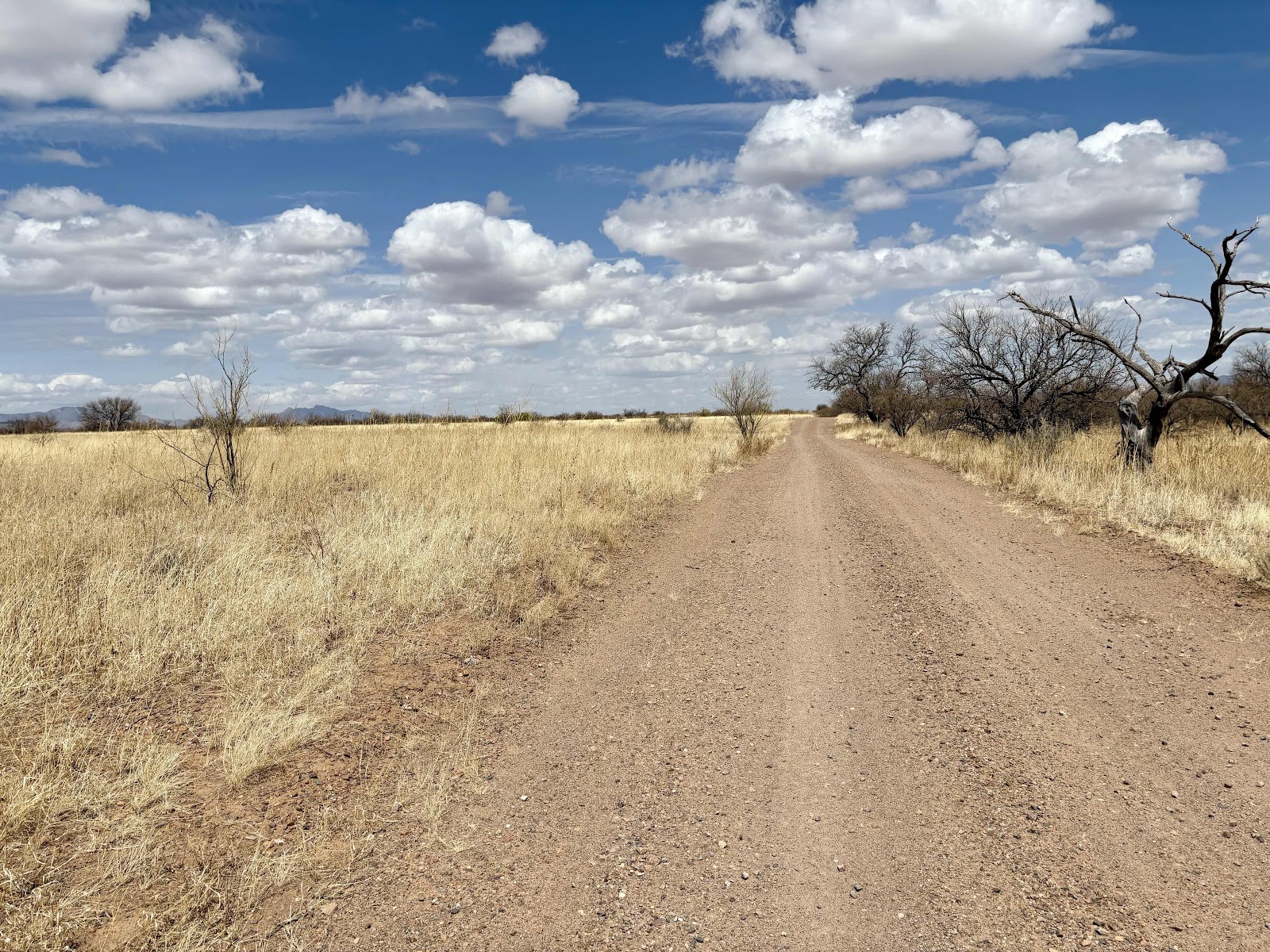
I was continuing on Satsop-Cloquallum Rd. It’s been awhile since I’ve been on this road. I remember more trees.
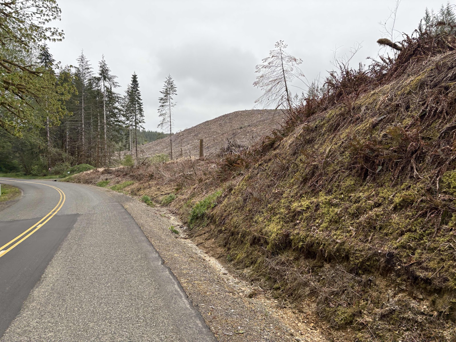
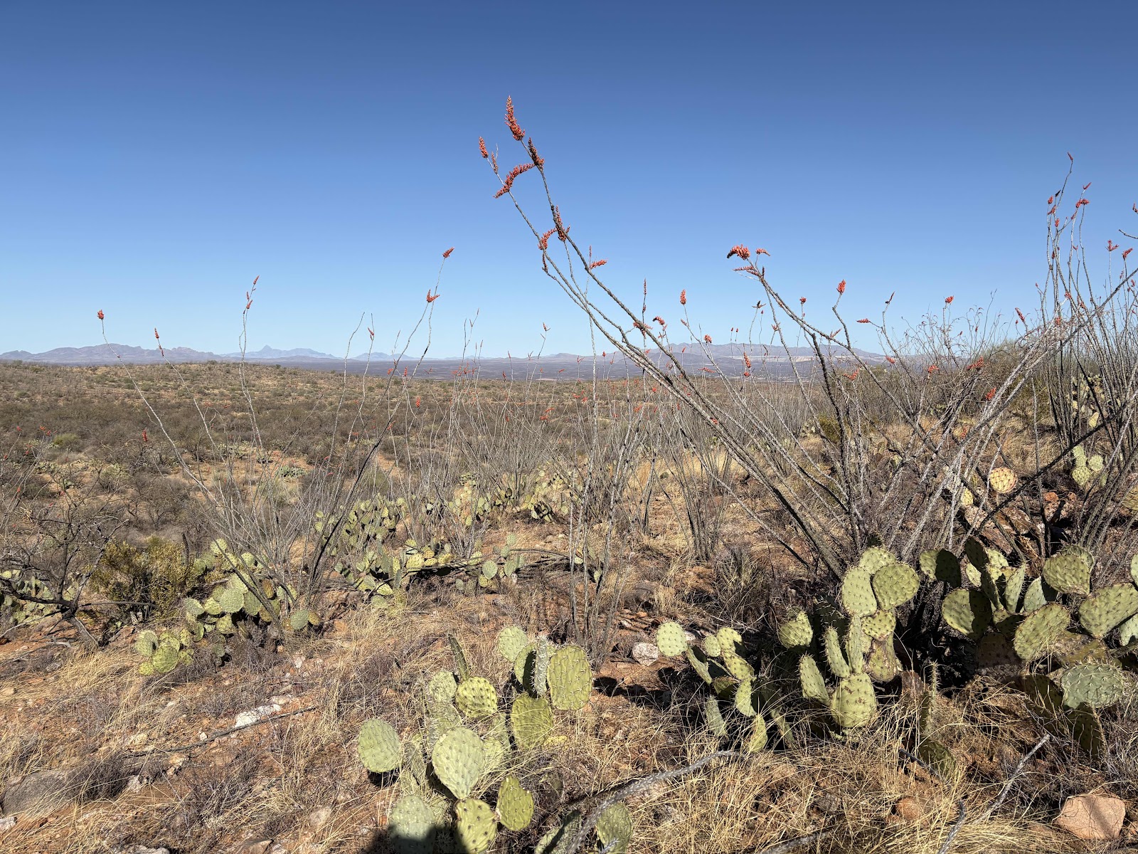
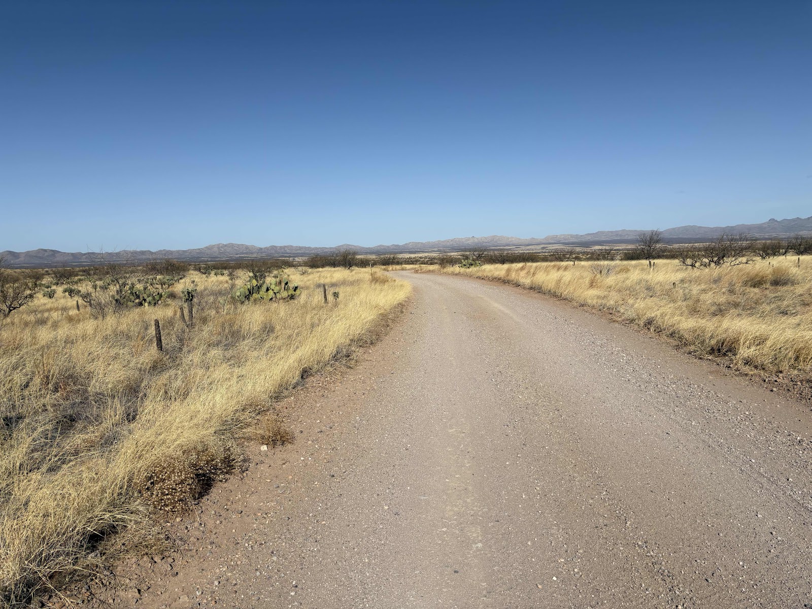
Not like this.

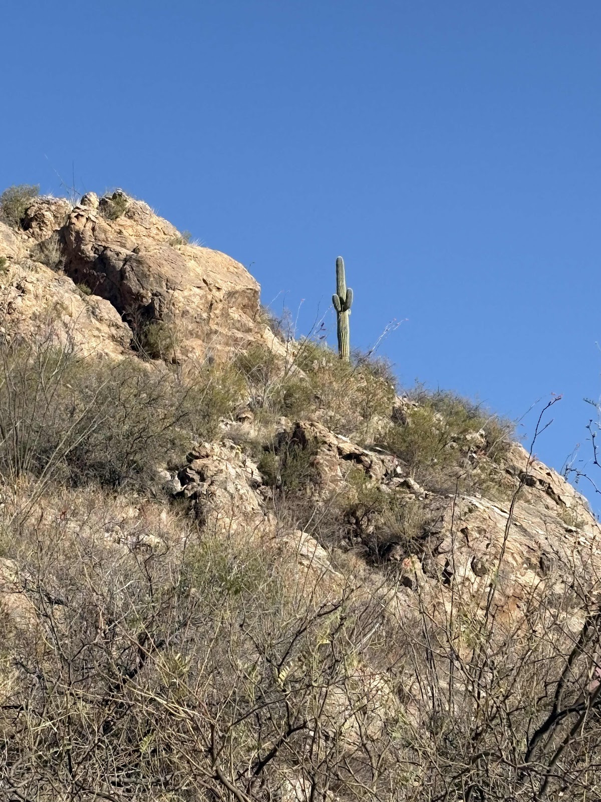
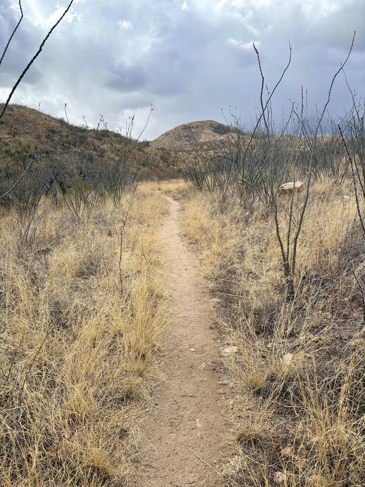
More like this.
It was a quiet Sunday morning. Only a couple of cars went by. I stopped for a pee break at one of the gates into Port Blakely land. I noticed that PB seems to be friendly to cyclists.

Nothing about “no bikes”.

Someone even “decorated” the gate!
Continuing on, I made a turn onto Arrowhead Dr. The road turned to gravel…a surprise.

But, I looked at the next turn on my Garmin, and it was back onto Satsop-Cloquallum in .8 of a mile. Then it turned out it was even less than that of gravel…like it was only about a quarter mile. Basically, it was an alternate (maybe shorter) way around Lake Arrowhead.
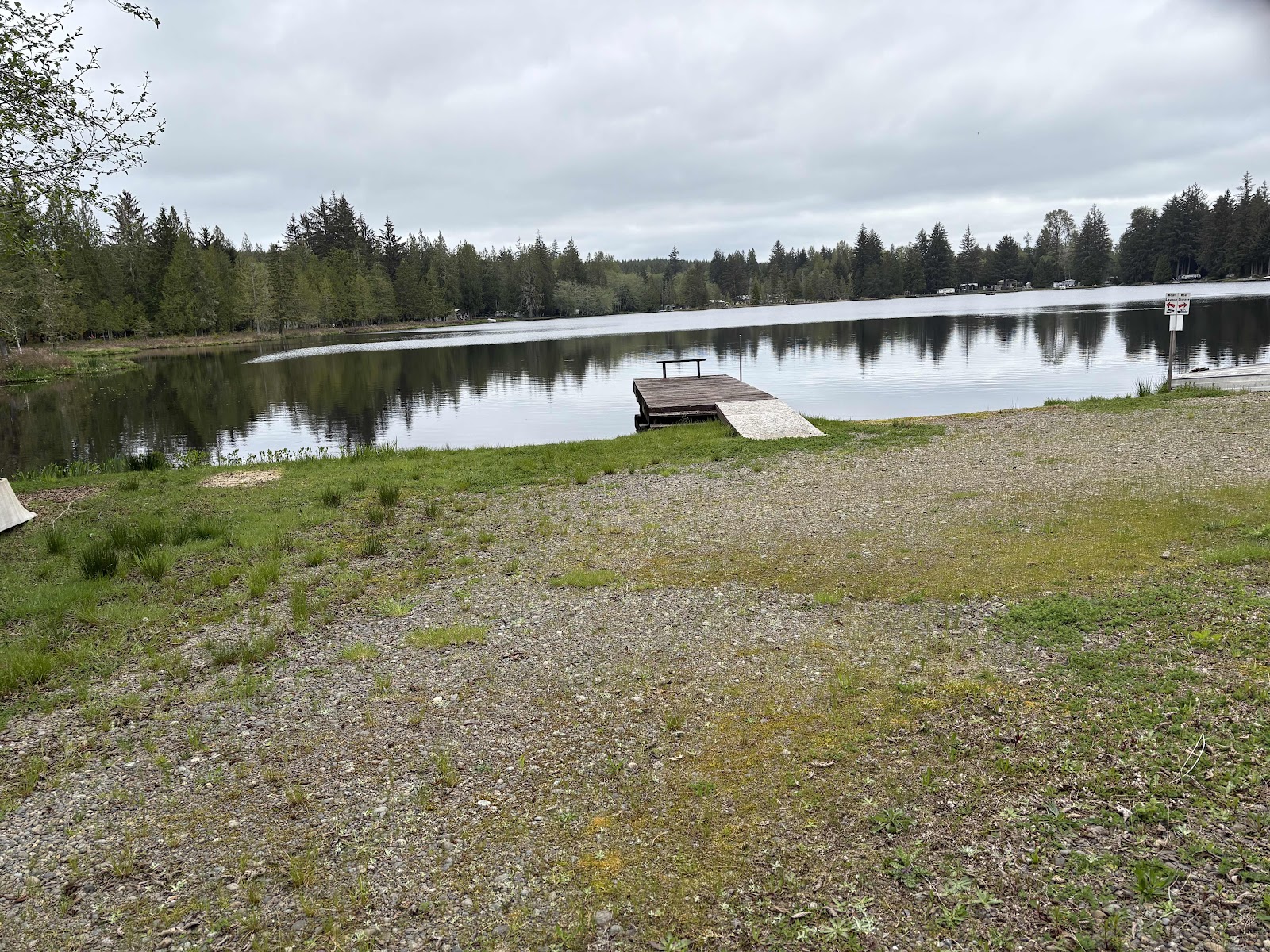
Lake Arrowhead.
Shortly after that, I was on Cloquallum Rd. That’s the main road between Elma and Shelton. So, a bit more traffic. But that was only for a couple miles, because I turned off onto West Bulb Farm Rd. (FYI, I didn’t see any signs of a bulb farm).

Did see these two deer, though.

W. Bulb Farm Rd becomes gravel about a mile or so in.

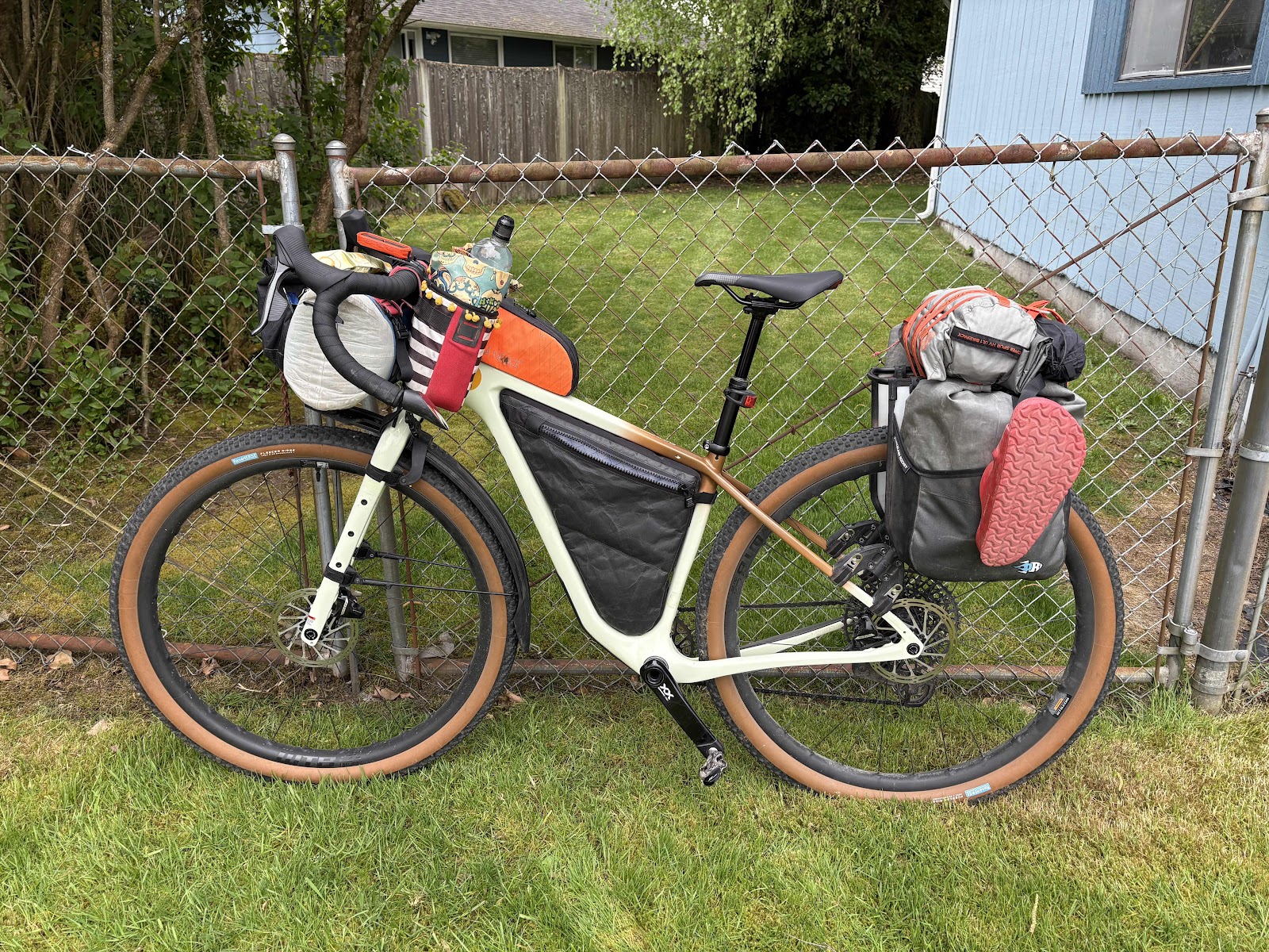
While I hadn’t been on this part, I would soon be in familiar territory as this is where we’ve done a couple of gravel rides recently. I was eager to see how Wanda handled the gravel with a load. Also, how I would manage a fairly steep climb I knew was coming. I dropped the tire pressure a bit to smooth out the bumps. The road surface was pretty good, and Wanda did great (I will still put some wider tires on for the Ochoco Overlander Route in May/June). I managed the climb, but I was ever so grateful for the 52 tooth cog in the back. The rest of the gravel was uneventful.

Unfortunately, it was just 5 miles of gravel. Now I was back on pavement on Hwy 108. This hwy has been referred to as the Suicide Hwy (not much shoulder, and quite a bit of fast moving traffic), but I was mostly going down, so it was not too bad. Besides, it’s only 5 miles before turning onto Hurley Waldrip, which is a very quiet road.
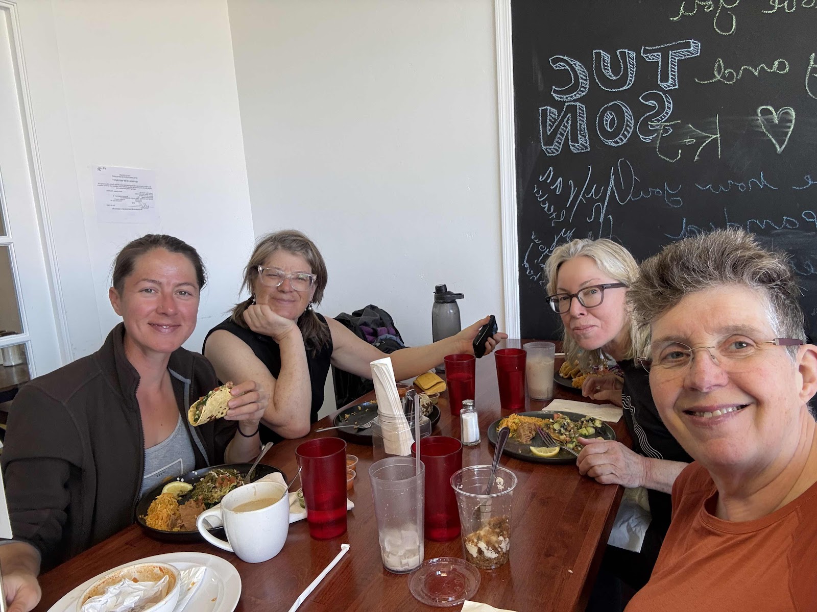
I stopped for some lunch at the taco truck at Tipsy Whale at Steamboat Island.
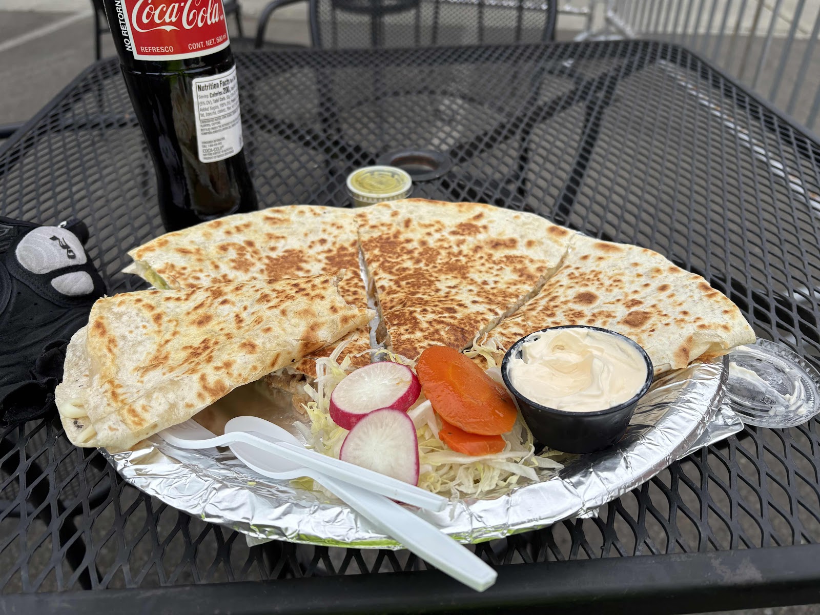
Chicken quesadilla!
After lunch, I went over to the coffee shop to use the restroom (Tipsy Whale wasn’t open). While there, I met Michelle and Dan. They were doing a ride out Gravelly Beach Rd. They are interested in doing some touring, and thought Wanda looked great. They were already talking about doing an overnight to Rainbow Falls. We said our goodbyes, and I rode the final miles home.
It was fun doing this spur of the moment bike tour. There were a couple of things I didn’t bring, my thin pad that goes under my sleeping pad and my Z-seat pad. I wish I’d brought them. Lesson learned. I calculated food well, and over estimated water. It was interesting touring on a drop bar bike again. I did 94 miles over the course of the two days. That’s the longest back-to-back rides I’ve done on Wanda. My average speeds for the two days were 10.5 and 10.6mph. I think yesterday would have been faster if there hadn’t been the headwind. Wanda is definitely faster than Billy, but we’ll see what happens when I put the wider tires on.