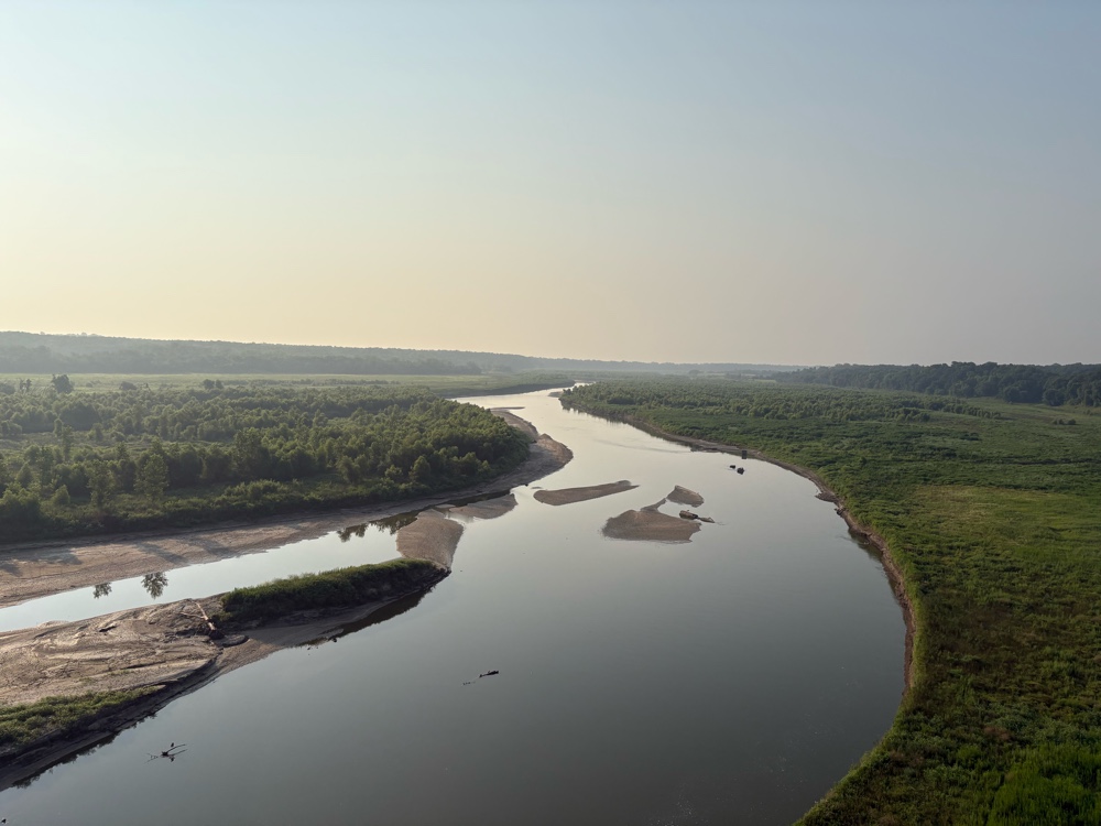
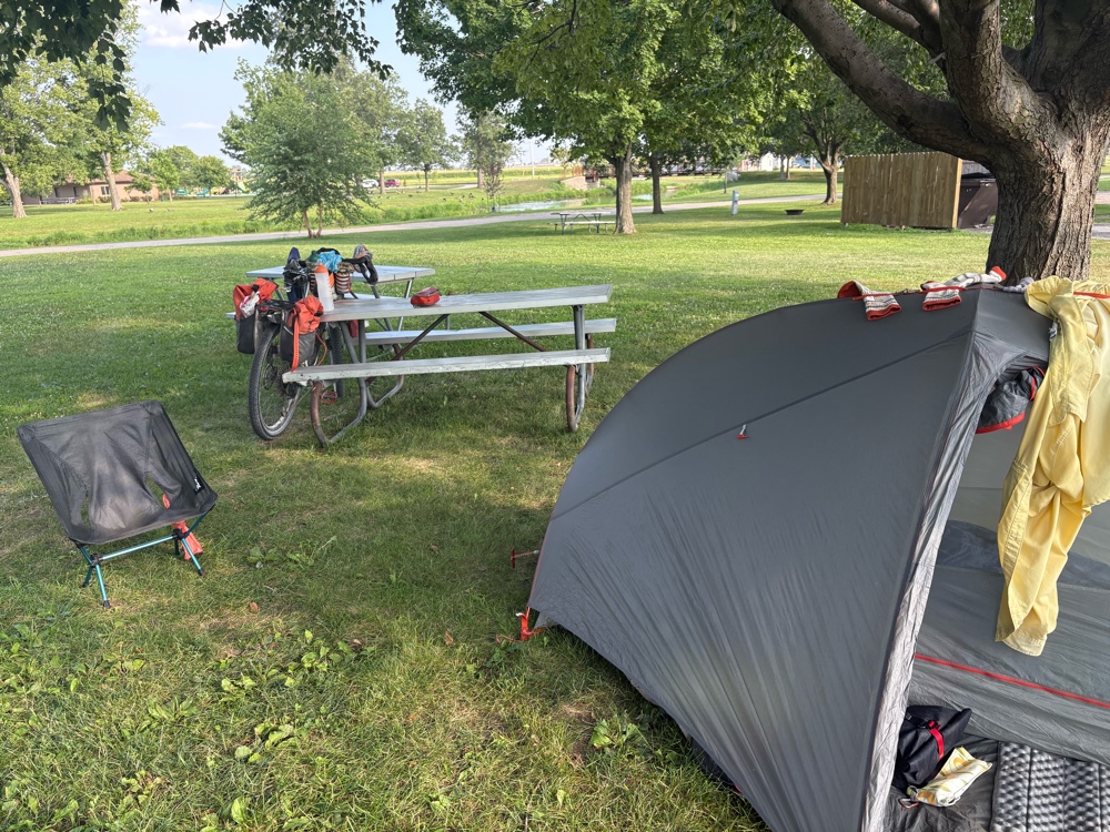
I had a pretty decent nights sleep in my tent last night. I was packed up and on the road by 6:45. I had a banana for breakfast, with the idea that I would get something more at the first Casey’s.
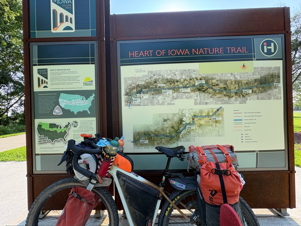
The route started on the main road to the Hwy out of Marshalltown.
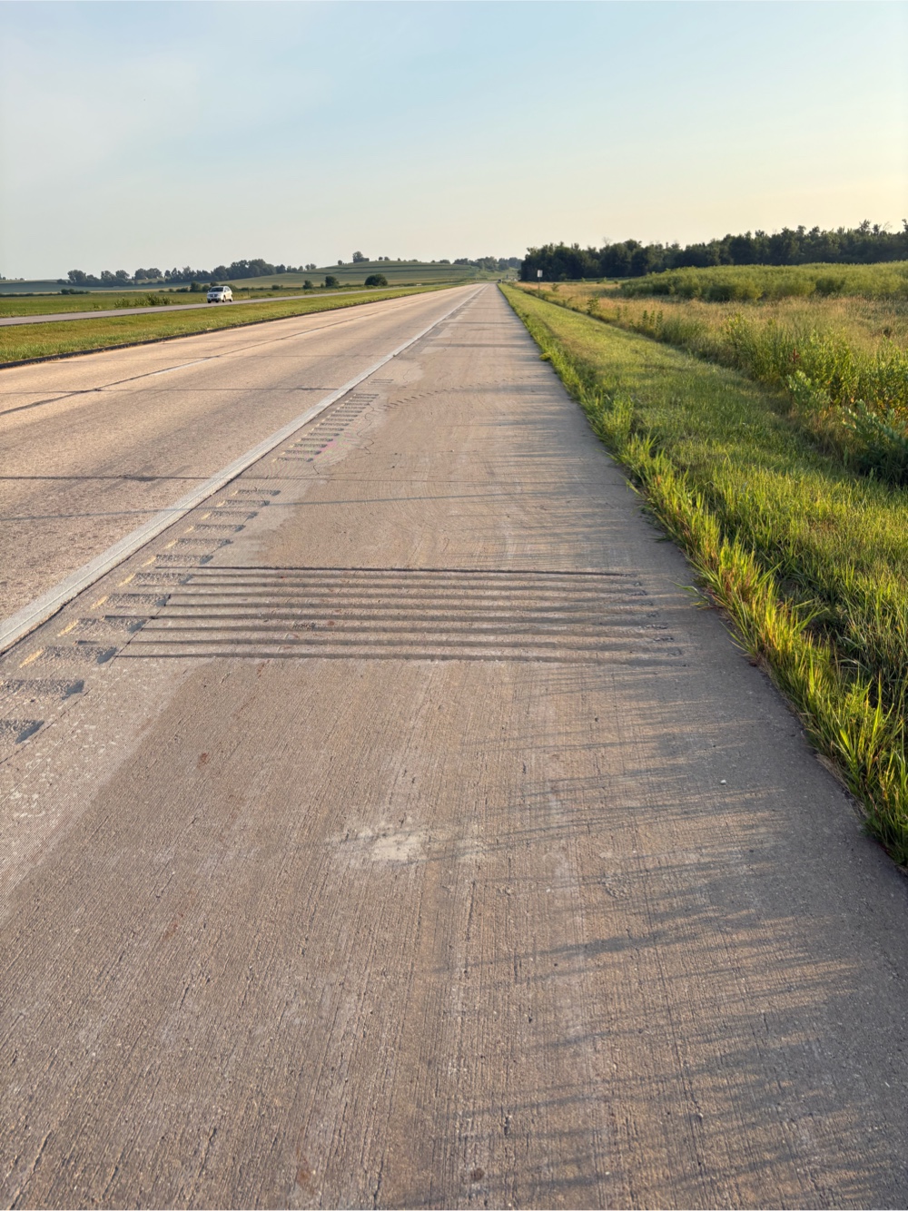 |
| Nice wide shoulder. The strips weren’t bothersome. |
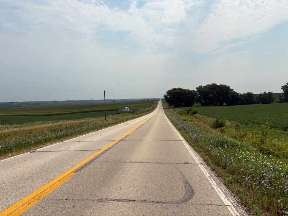
I was actually enjoying the Hwy. I knew the route took a parallel gravel road to get off the highway. I toyed with seeing about staying on the highway, but I couldn’t because the road I needed to turn on was this.
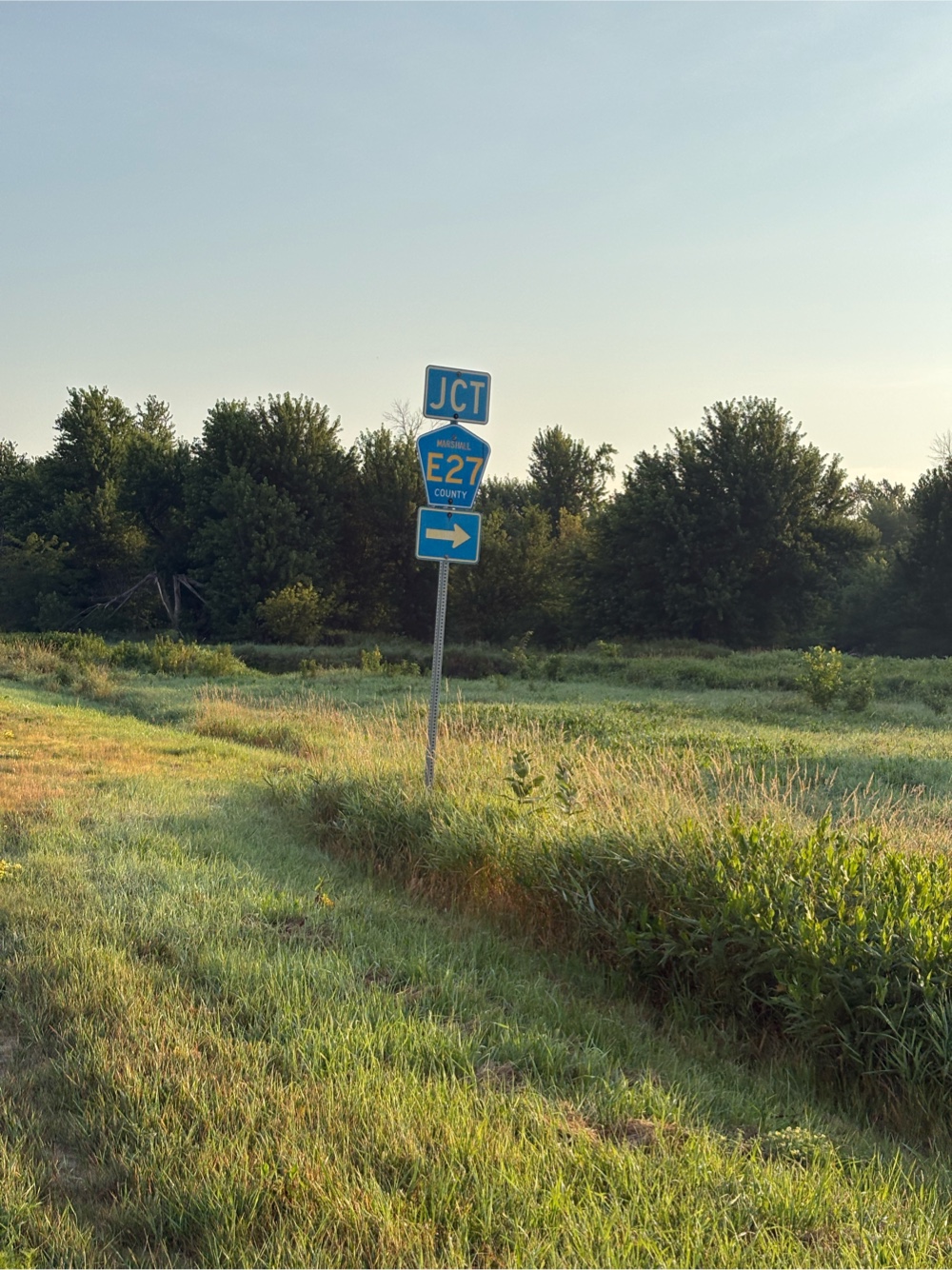 |
| You just don’t mess with 27! |
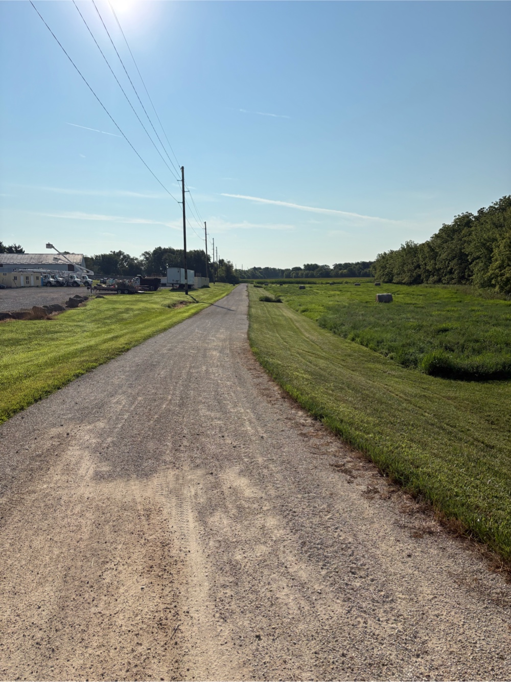
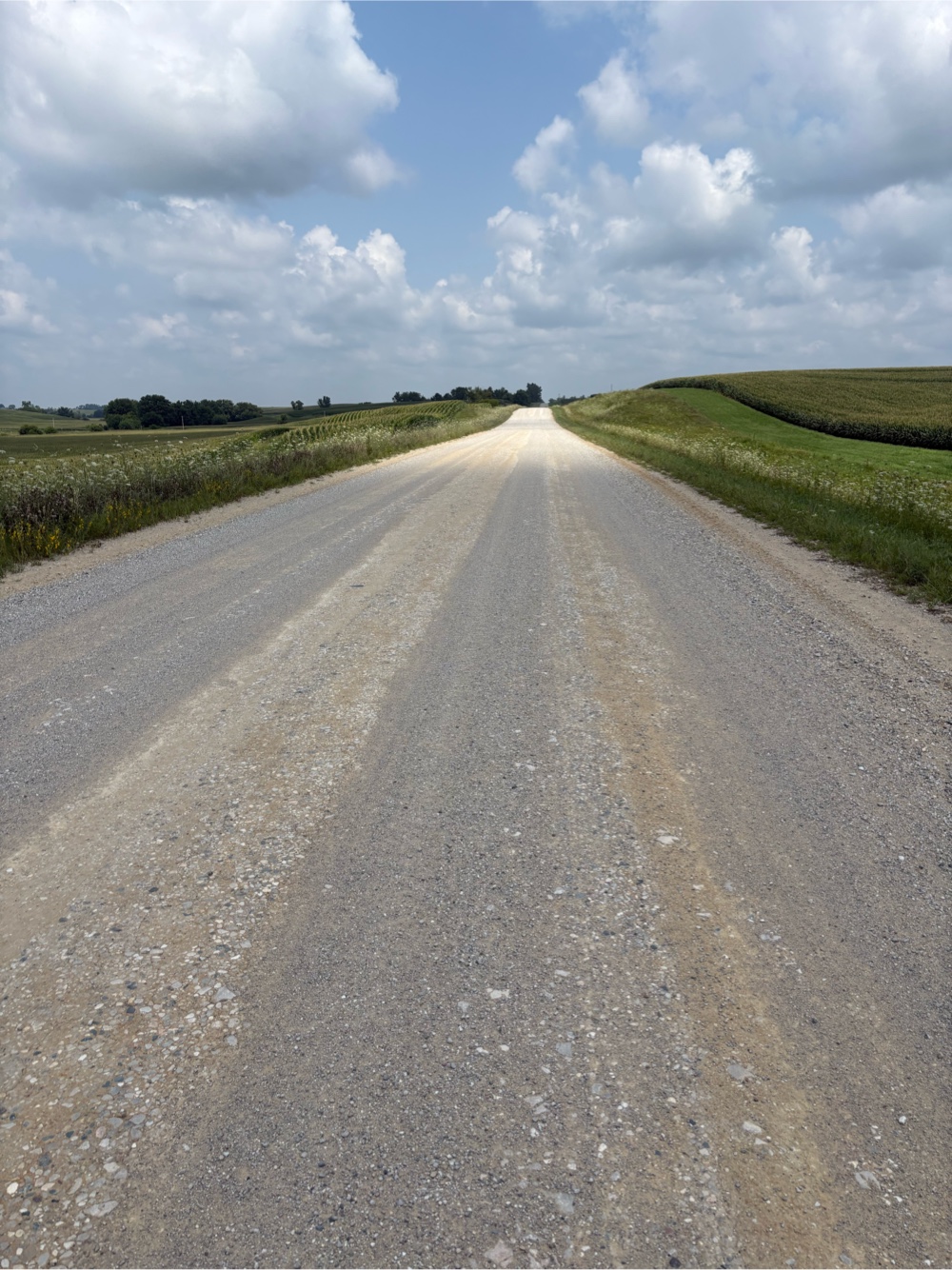
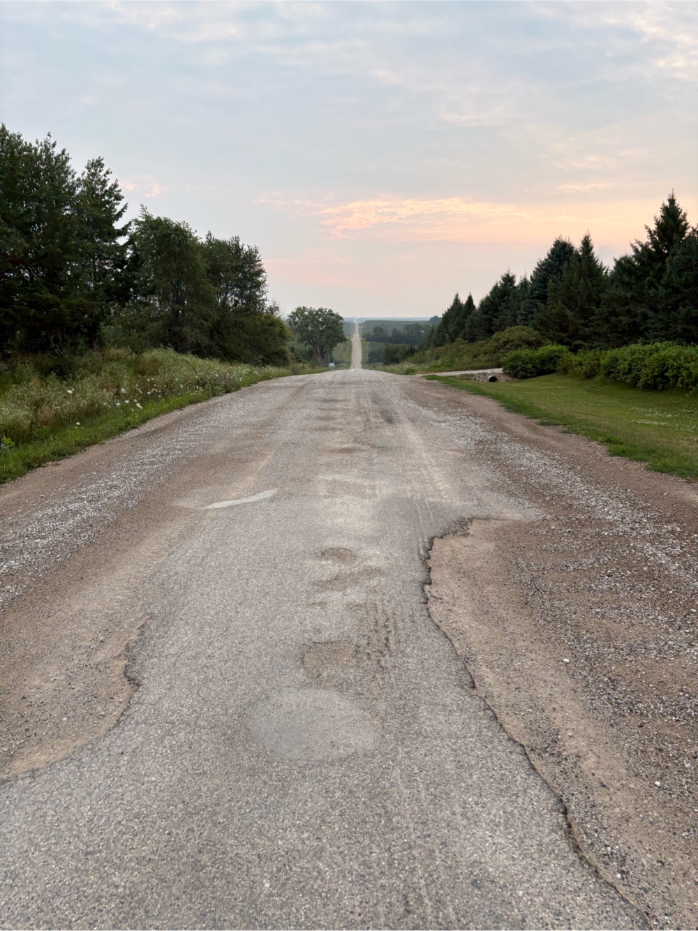
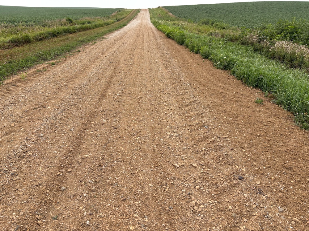
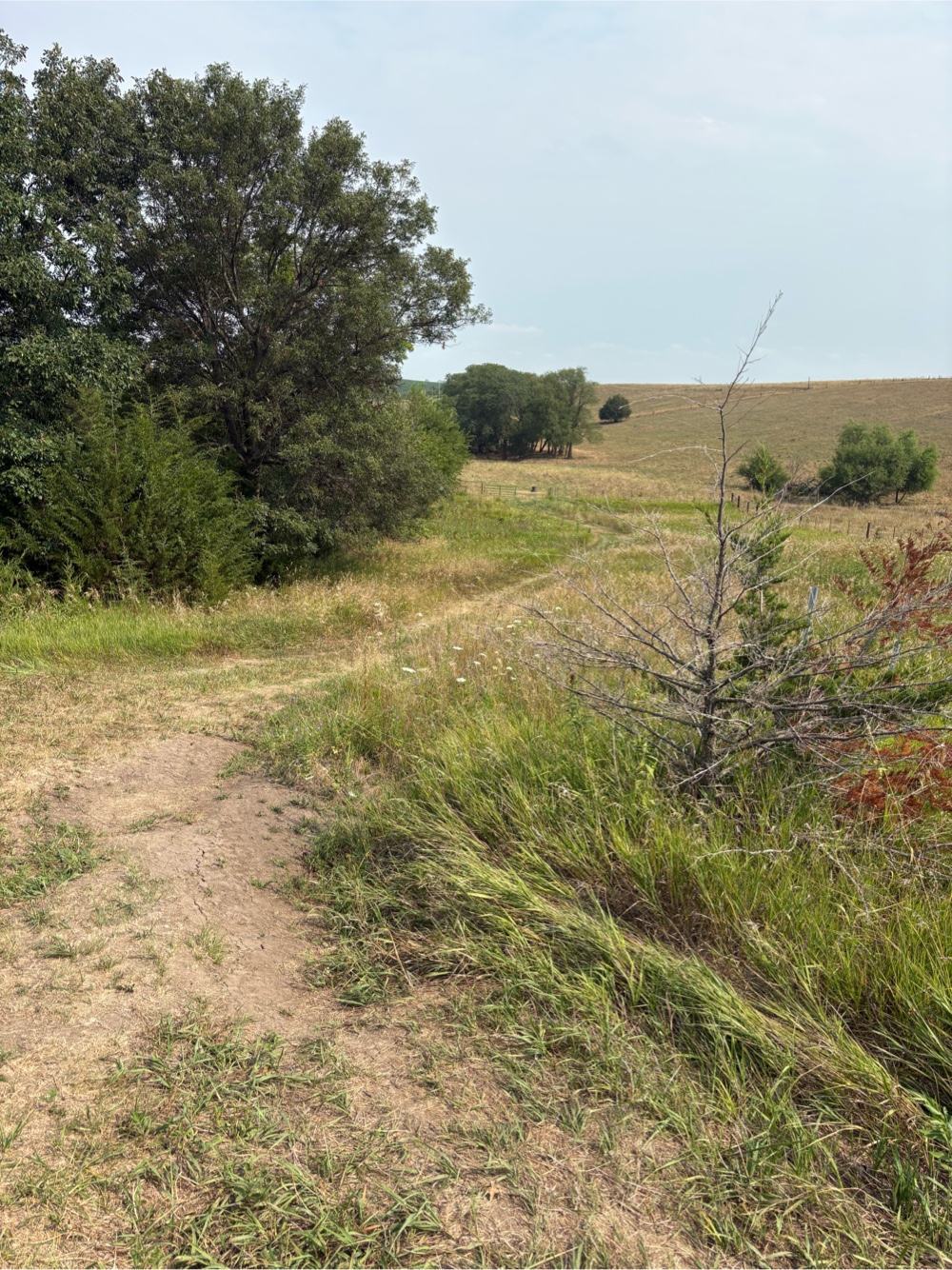
Sure enough, soon I was on the gravel. It was 8 miles worth of straight road.
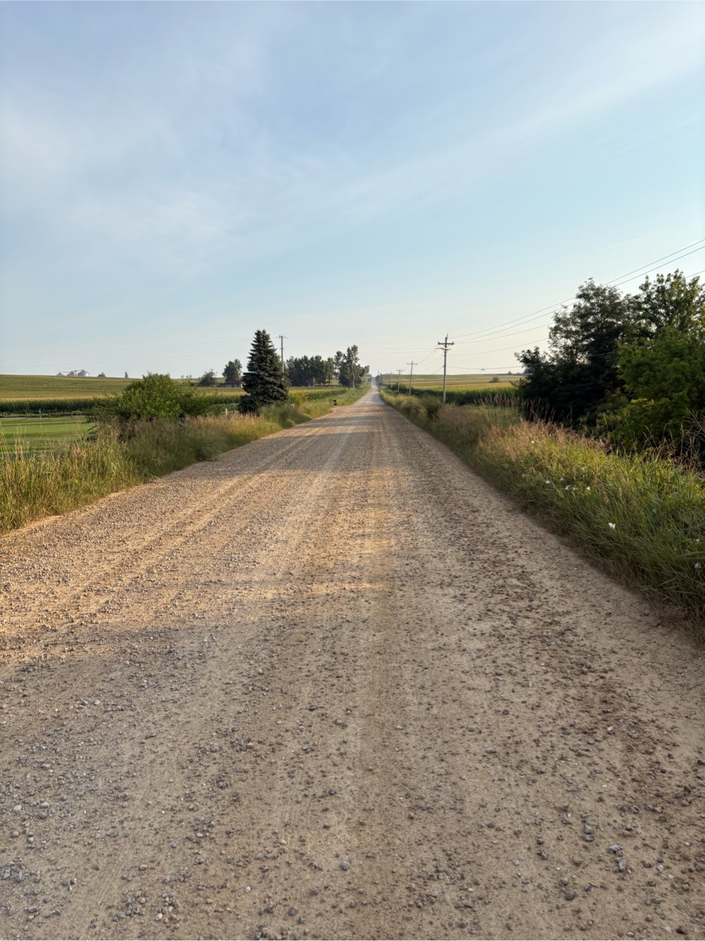 |
| It was okay though. |
I made a turn onto another gravel road. Then I was turning again in a half mile. Up ahead at the turn, I could see a person running. I thought to myself, it’s strange enough that I’m out here riding these gravel roads. Who would be running on them? I turned onto Hawk Rd. Ah, it was paved. Not so strange now. I stopped when I got to the woman. I told her how I thought it was strange she was running on a gravel road (but she wasn’t). She said she thought it was strange I was biking on the gravel road! Her name was Dora. She lived close by. Offered to fill my bottles, but they were still full as I had only gone 12 miles. Her husband bikes. She told me I had just missed RAGBRAI.
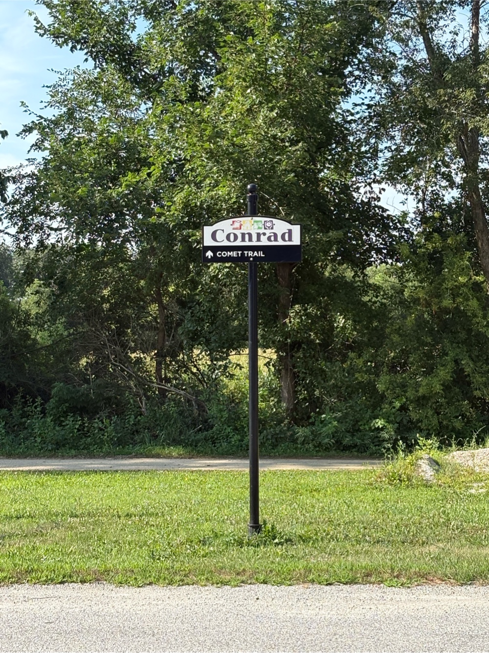
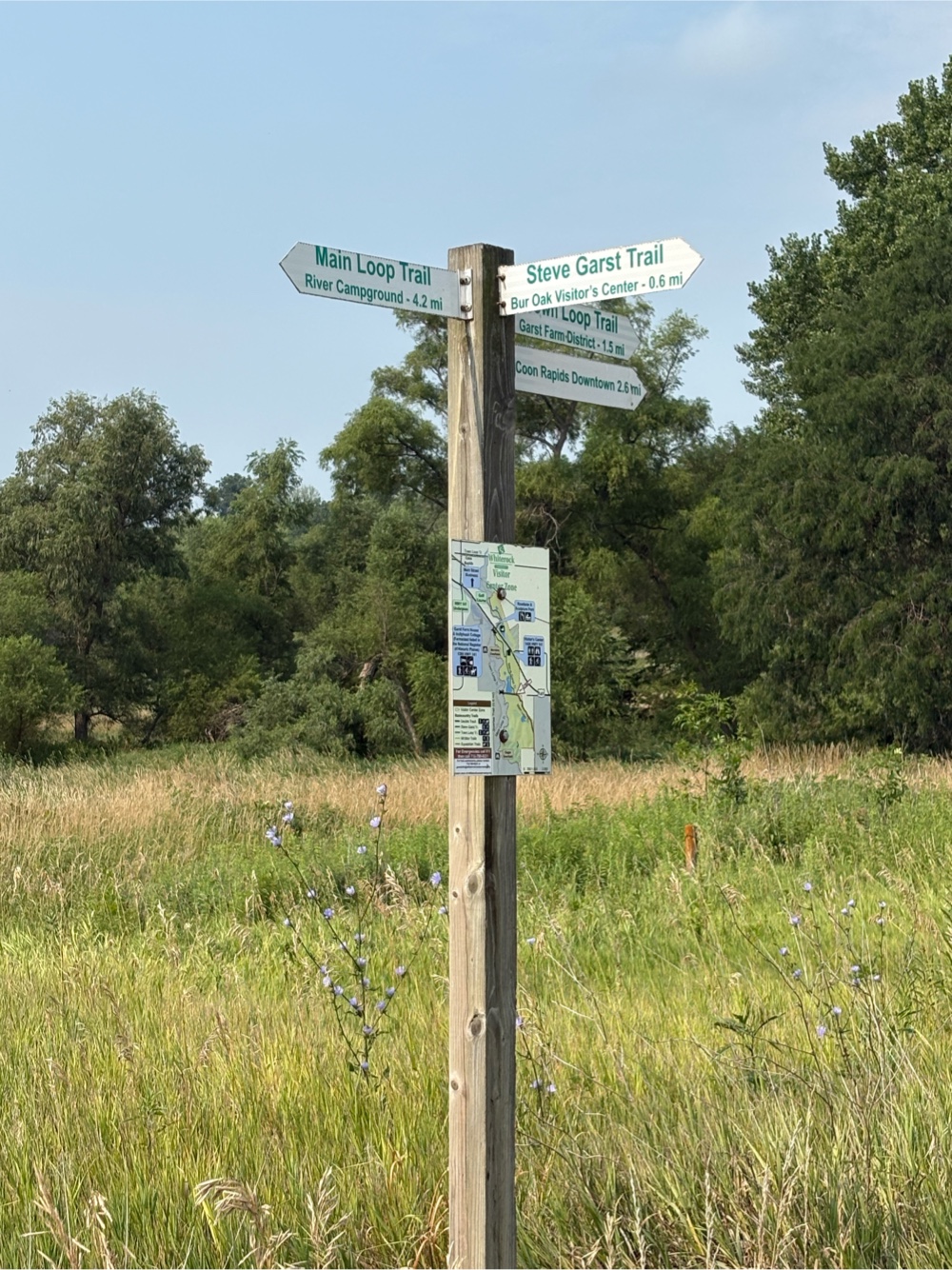
I continued on my way. Just a bit further, I came to Conrad, and the Comet Trail.
I actually got off the trail right away as I wanted to go to the Casey’s for some chocolate milk and food (aka more breakfast). While I was outside eating, a gentleman named Nile came up and asked me where I was coming from and going to. He also said RAGBRAI had just finished. We had a great chat. He asked me if I needed anything. I said I was good. He went into Casey’s. Another guy walked by and said, “RAGBRAI is over, you know!”
I was still eating when Nile came back out and handed me a Casey’s gift card! How amazing is that!!! Of course we had to have a selfie (he had already taken a photo of me).
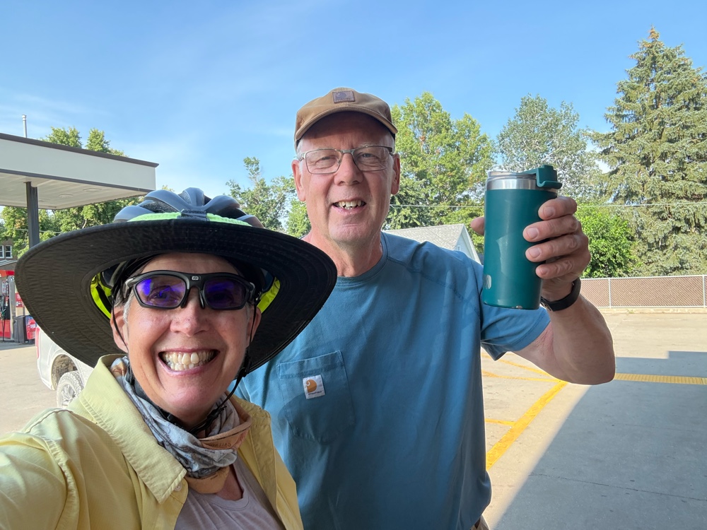 |
| Thanks, Nile, for your kindness and conversation! |
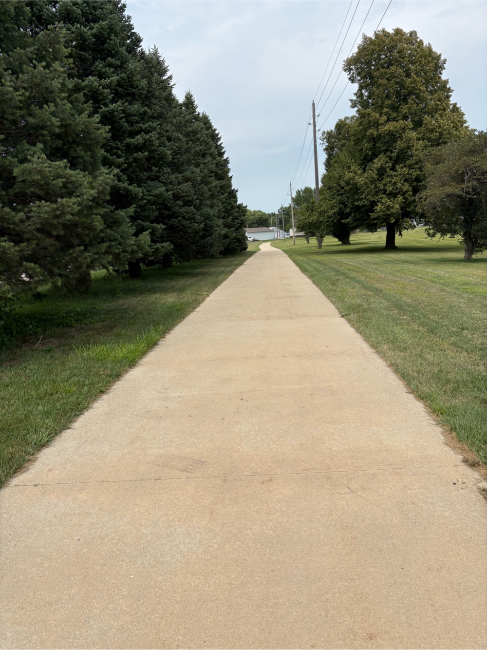
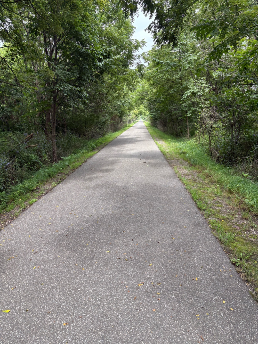
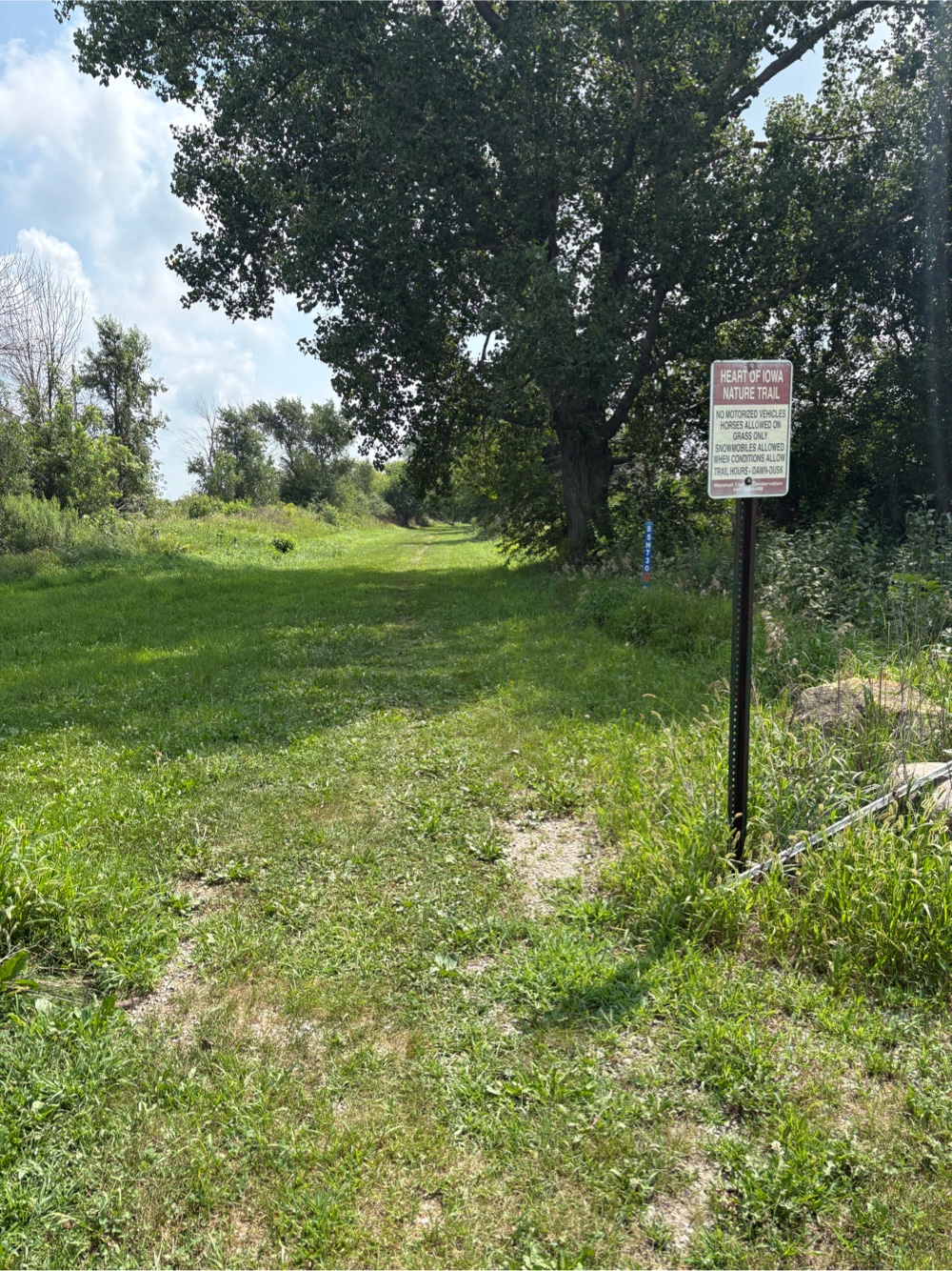
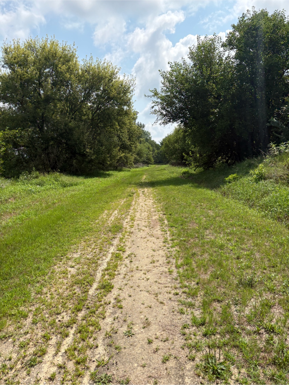
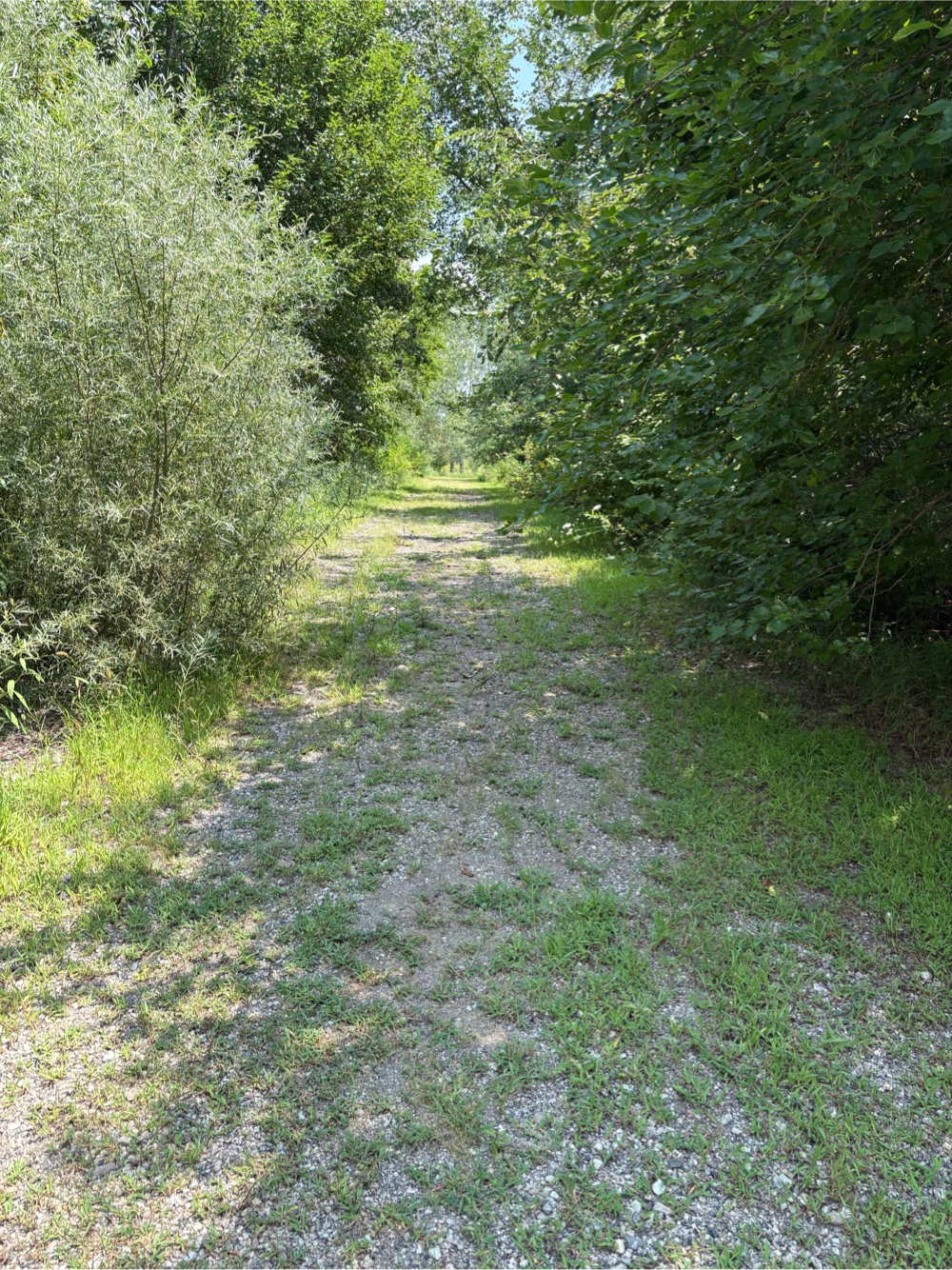
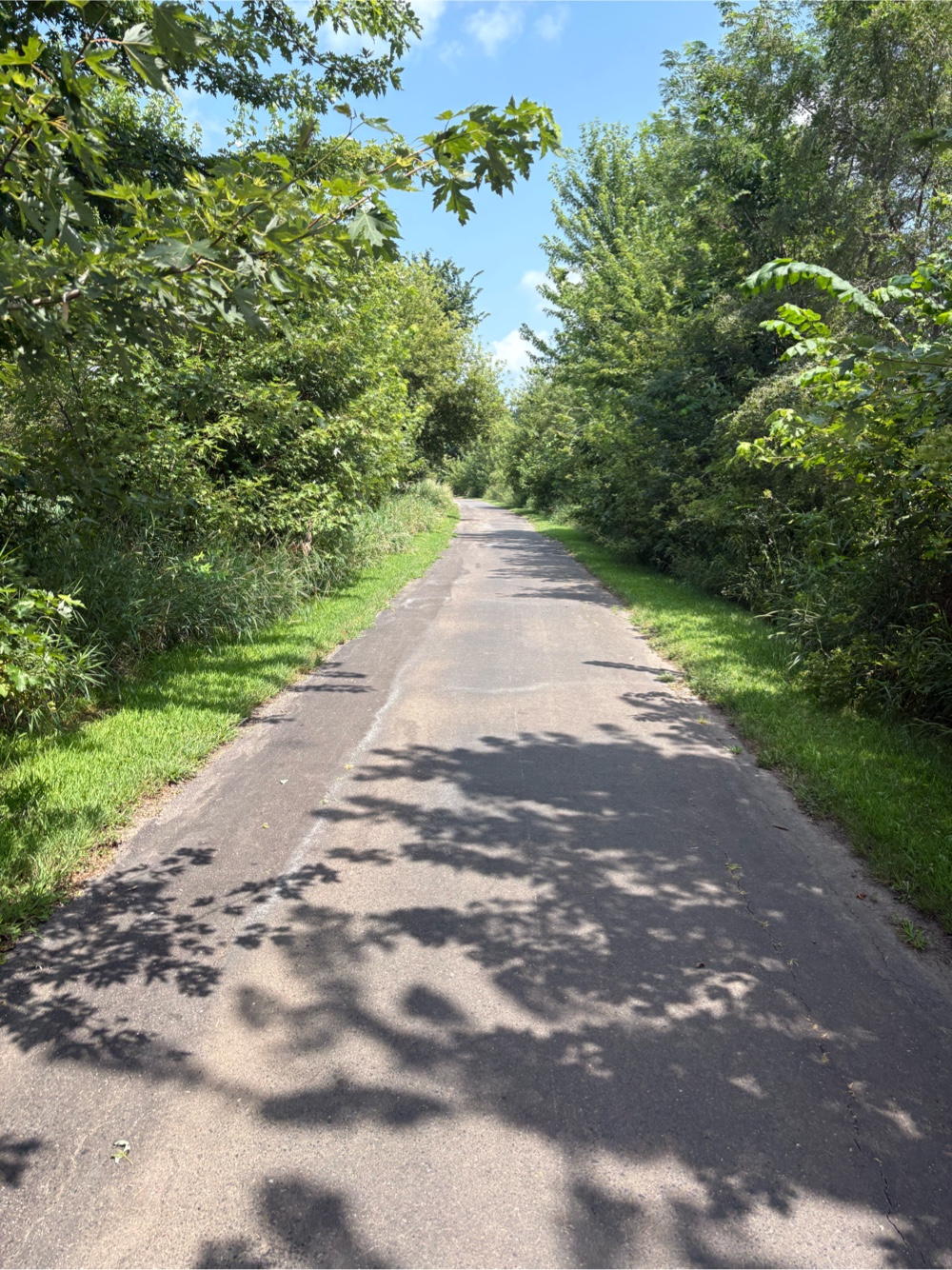
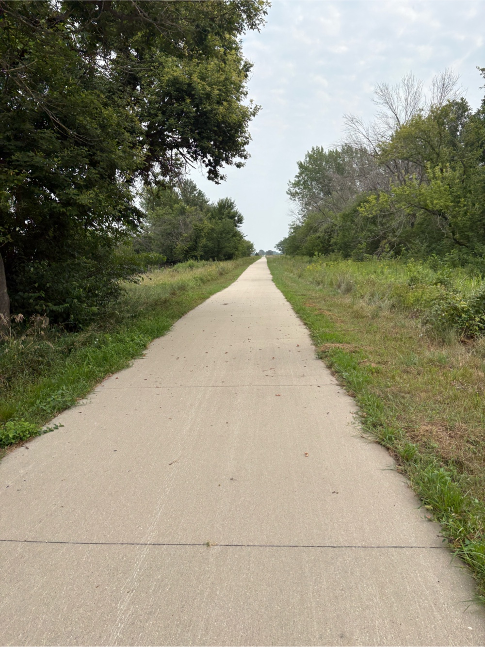
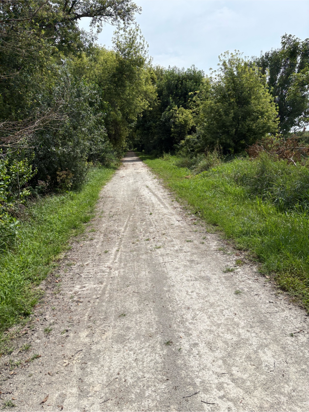
I returned to the Comet Trail. This was more of a hard packed dirt/crushed gravel trail.
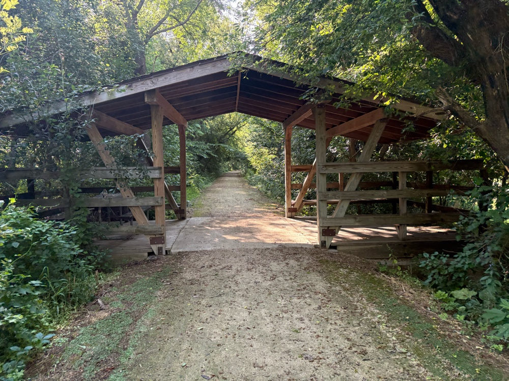 |
| Nice covered shelter |
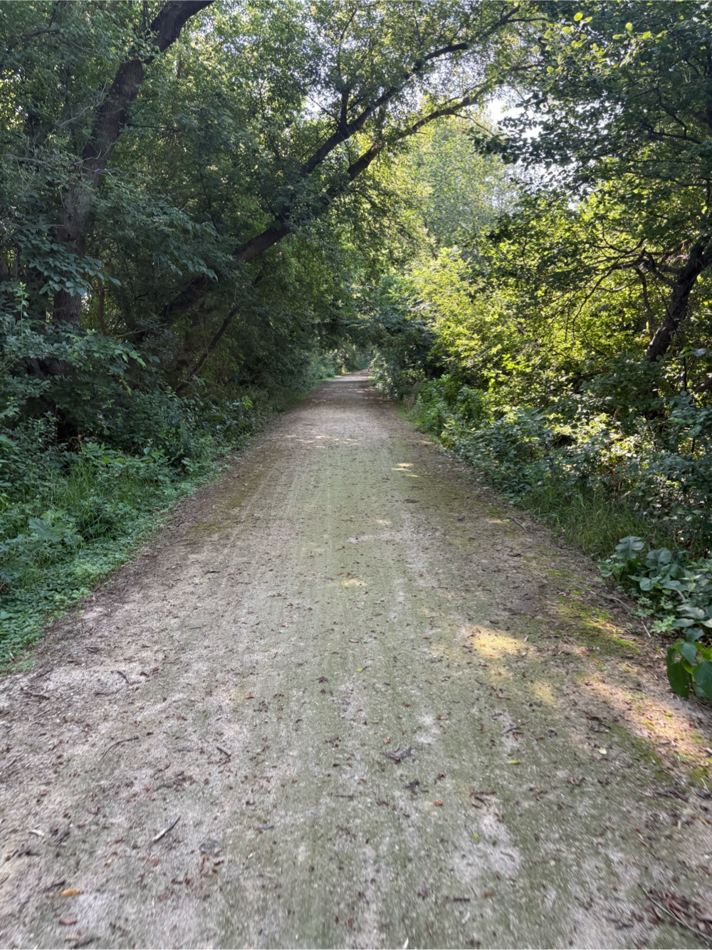 |
| Through the green tunnel |
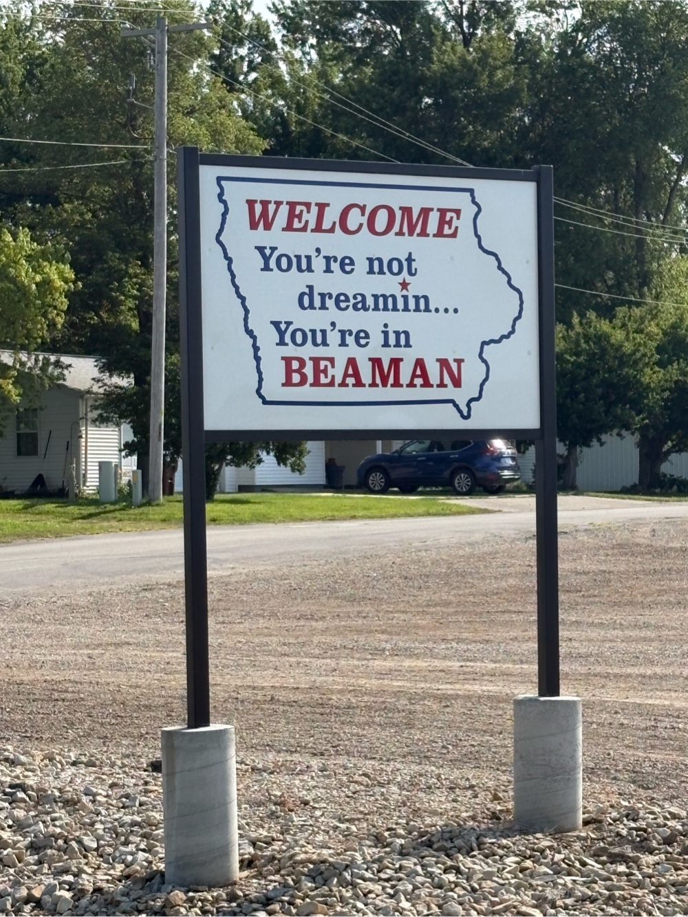
It went through Beaman.
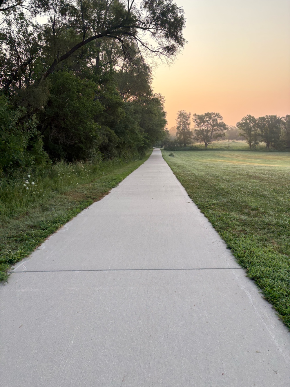
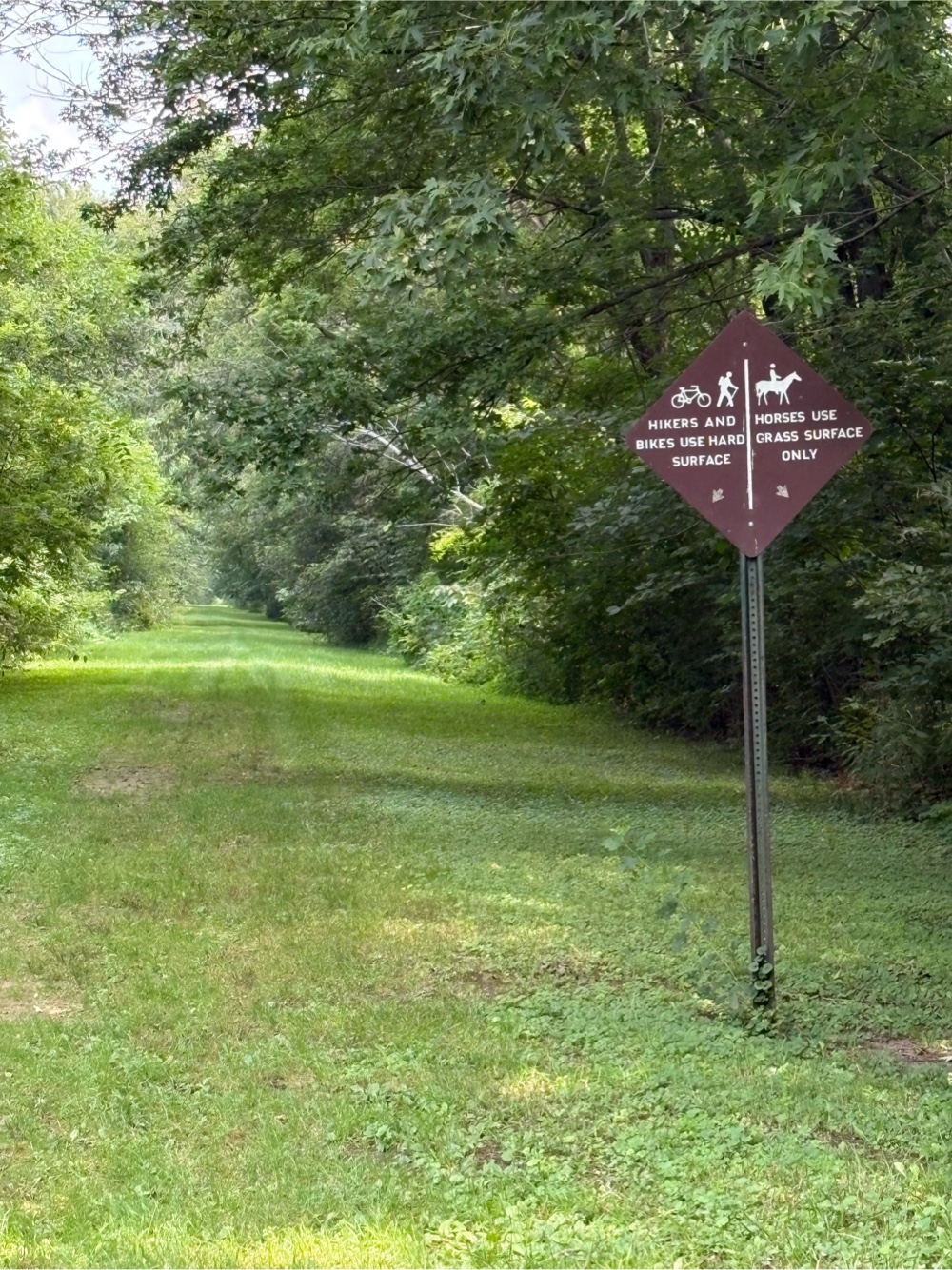
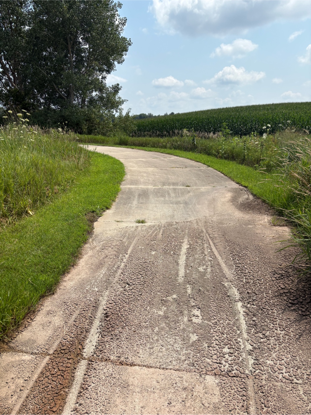
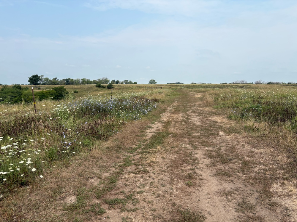
While the Comet Trail continued, at a later road crossing, my route went off of it, onto another 10 mile section of gravel roads.
 |
| Notice the dust. I find it annoying that vehicles do not slow down at all. Good thing I have my dust bomb protector (Buff). |
Just before Grundy Center, the road went back to pavement. I knew there was a Subway in Grundy Center. It was only about 10:45, but who cares. I stopped for some lunch.
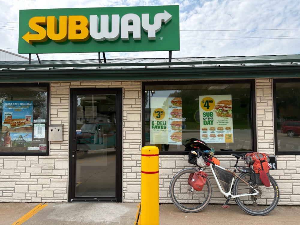 |
Iowa Subway…check!
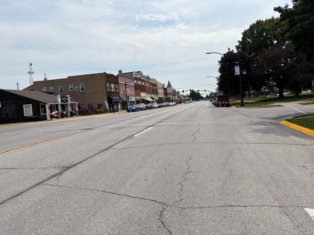 | | Main Street Grundy Center |
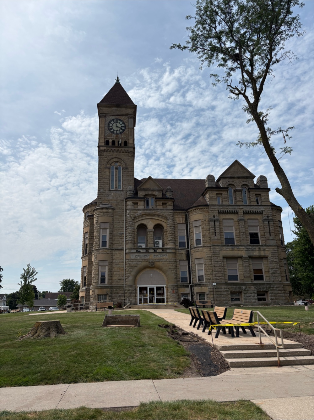 | | I think it’s the county seat for Grundy Co |
When I came back out, and turned on my Garmin, the screen said “Saving diagnostics”. What the heck is that? I couldn’t get it to go away. Finally, I figured I would have to use my phone. I started riding. Then I had the lightbulb moment of stopping while I still had service, and Googling it. It wasn’t really clear what it was, but it said how to fix it. Voila! Back in business…whew!
|
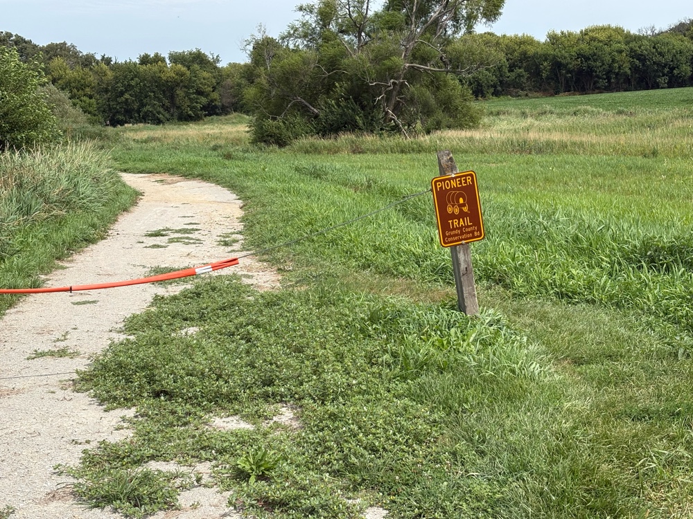
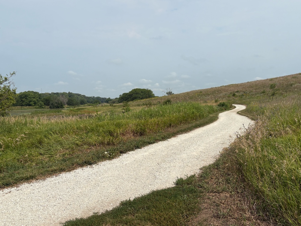
I had a few miles on the highway before picking up the Pioneer Trail.
 |
| Another dirt/crushed gravel trail |
It was the same as the Comet Trail. Although I came to the end of this one, then had to go back out on the hwy to Reinbeck.
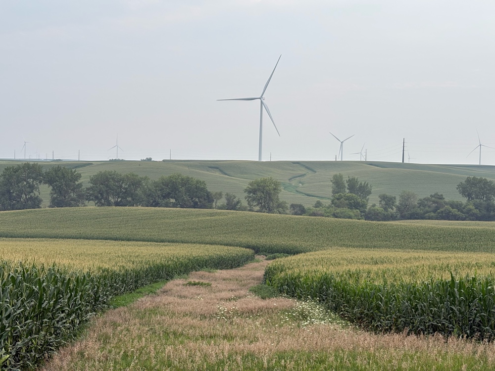
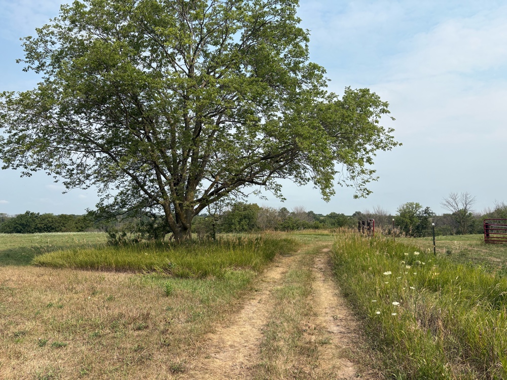
After Reinbeck, there was yet another almost 10 mile section of gravel roads. At least this section had some turns to break up the monotony. And, I even got a deer photo!
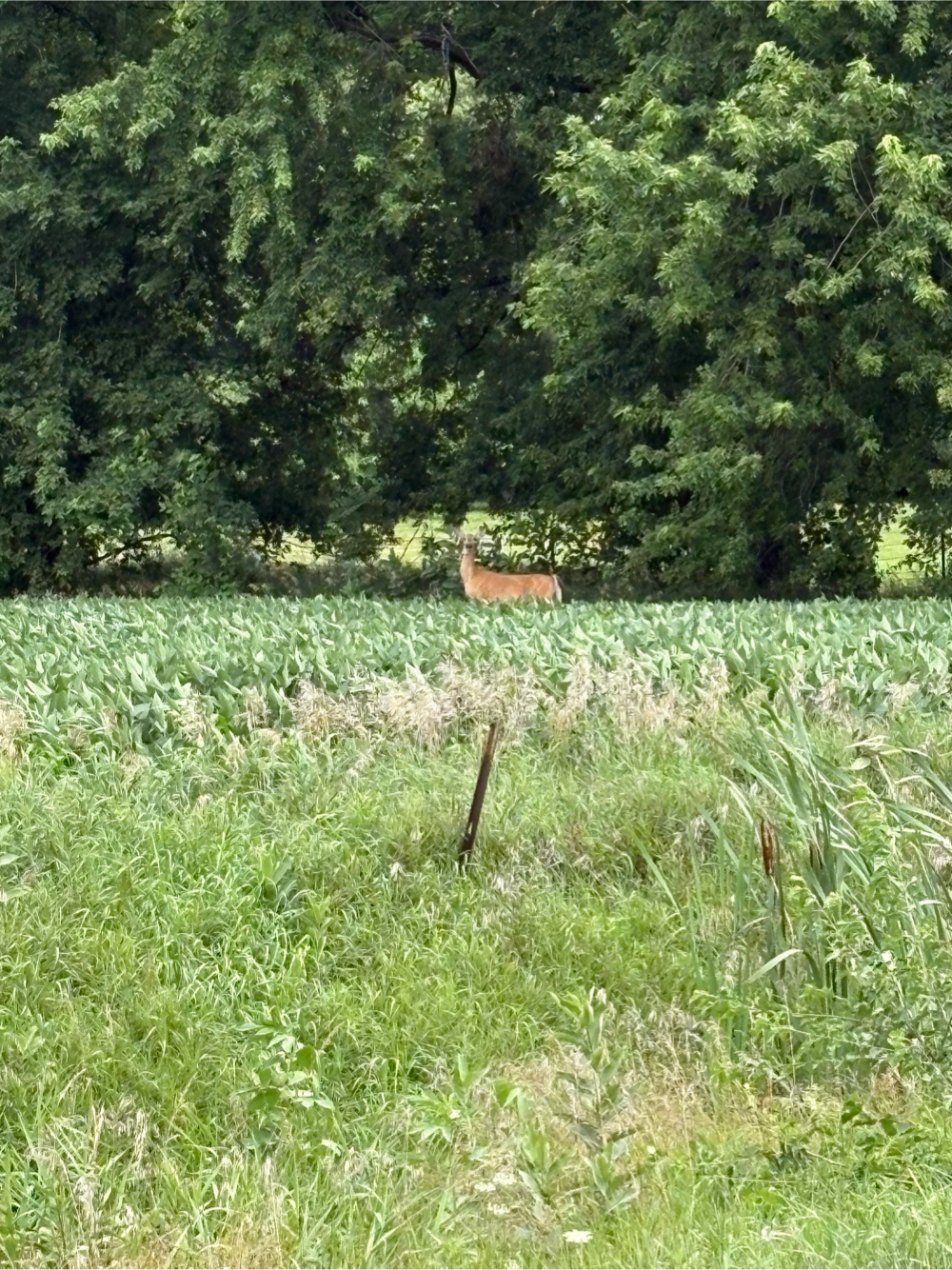 |
| Been awhile! |
I didn’t have too many more miles to Cedar Falls, but when I got to Hudson, I stopped for some orange juice at…you guessed it…Casey’s! I talked to a woman who was out on her road bike. Guess what she told me! Yes, I did know that RAGBRAI just finished!
I had one final paved trail that took me all the way to Cedar Falls, and the Super 8. At some point I know it was the Cesar Falls-Prairie Trail, but I don’t know if the whole thing was called that.
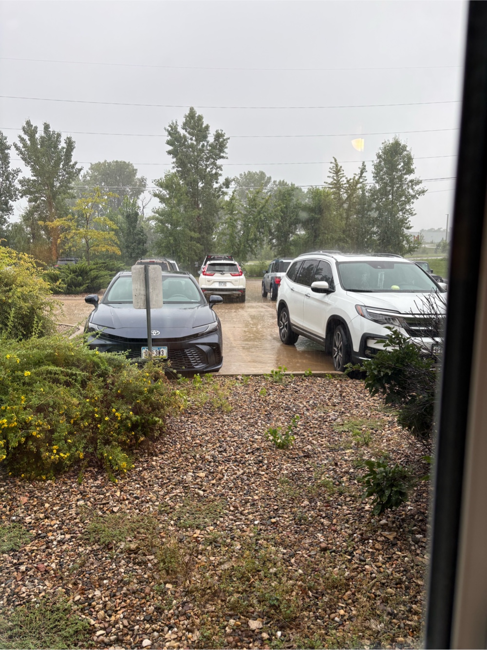
The route into Cedar Falls proper is literally across the road from the Super 8. I’m here for two nights as it’s supposed to rain all night, and all day tomorrow. There’s a Kwik Star Mart across the parking lot. They have a decent selection of food. I had pulled pork Mac and cheese for dinner (I have a microwave), and some carrots and dip. I’m looking forward to sleeping in tomorrow!
One more thing…yesterday, I saw several people on the bike paths. I would say, “Morning”, and 95% of them said nothing…didn’t even acknowledge me! I was beginning to doubt the kindness of Iowans. Today my faith has been restored!