Tuesday, July 9, 2019

OSBT Day 32-A Long Day Home

I made it home before the rain. End of post. Well, it pretty much could be the end of the post, because today was not the most interesting of days. 

I left Kelso just before 7:00. For most of the day, I allowed Siri to direct me. After riding this bike path into Castle Rock, I was on the STP Route until Vader (going the opposite direction, of course).. 

I was only on this path for slightly more than a mile before getting off to head over to the Westside Hwy, and the STP Route. 

Where the STP Route turns onto Westside Hwy from Vader, I went straight. That little section on S. Military Rd was the hardest part of the day. It was an out-of-the-saddle-in-the-easiest-gear little climb. Fortunately, it wasn’t too long. Nothing like Green Mountain from yesterday. There were some nice views along Military Rd. 

St Helens

Rainier and barn

I rejoined the STP Route in Napavine, then departed from it in Chehalis where it goes around the airport (except for one semi-major intersection, going along Louisiana Ave is fine, and cuts 1 3/4 miles). 

I remained on the STP until Tenino. Even though I was starting to feel the occasional drop of rain, I still stopped for some lunch before riding the final 12 or so miles home. I arrived home about 3:00ish and just under 74 miles. 

Interestingly, today I saw three other touring cyclists. They all stopped to talk. The second couple had started in Tacoma, and were headed to Patagonia. Their gear was all fresh and clean looking. 

One final photo...

How to get a forced break. 

This was a good tour. It’s funny, I was never more than a days drive from home, but it sometimes seemed like I was very far away. I enjoyed the Scenic Bikeways; some more than others. My favorite was Sisters to Smith Rock...well, the destination of Smith Rock was the best. The ride there was fine, but nothing overly special (especially since I had had numerous views of the mountains for days). For the Bikeway itself, I’d say Old McKenzie Pass was my favorite. Cape Blanco was another great destination. 

One thing I really liked about this tour were the hikes I did. I really enjoyed Cape Arago and Smith Rock, but Cape Lookout, Humbug Mtn, and La Pine State Park were good hikes too. 

So, even though I had done much of the route on one tour or another, I still felt like I did enough different things to make it seem mostly new. And, of course, I met some great people!


Monday, July 8, 2019

OSBT Day 31-A 12 Mile Change of Plan

I’m writing this from my room at the America’s Best Value Inn in Kelso. Yes, I had planned to just go to Kalama, and camp at Camp Kalama Campground, but it was just 38 miles there, and I really wanted to get more miles so I wouldn’t have to do so many tomorrow. Plus, the weather forecast is not the best, and I’d rather not have to ride 83 miles in the rain (because, 73 miles is so much better!). 

I left Kim and Kevin’s about 7:45. Since they live in more East Vancouver, it was pretty much a straight shot north. In La Center I stopped at Sadie and Josie’s Bakery. 


Nine years ago, I stopped here on my way home from Sierra Cascades (I had to detour to Vancouver because Elk Pass was closed). This was where the mother and sister of my brother’s friend recognized me even though I hadn’t seen them (nor them me) for 30 years. I was glad after 9 years, the bakery was still in business. In fact, I think they had expanded a bit. I got a couple of pastries and took a break. 

Back on the road, I was on the lookout for Lishan Rd. It would be before Woodland. I found it, and stopped for a photo. 

For those who don’t know, Lishan is my maiden name, and this is where my great grandparents homesteaded. Sometime, I should ride up it, and see what’s there. 

The hardest part of the day was just after Woodland. The only level road between Woodland and Kalama is the freeway. Those not wishing to go on I-5 have to go up and over Green Mountain. Green Mountain Road is a doozy! It is 5 steep bumps leveling off only slightly between each bump for approximately 2 miles. I had to stop twice between bumps to catch my breath, and bring my heart rate down from the stratosphere. Fortunately, the route doesn’t go all the way to the top of Green Mountain, but turns and makes a very steep descent back down to parallel the freeway into Kalama. 

Headed back down to the freeway (and Columbia River). 

I rolled into Kalama with a plan to eat at Subway. It was there that I looked at the weather for tomorrow, saw that it was going to rain as early as 3:00pm, and decided to push on to Kelso and stay in a hotel. From Subway, it was 12 more miles that I won’t have tomorrow. 

America’s Best is an inexpensive hotel. It’s a darn good thing I am here today, and not this coming Saturday, when the STP rolls through. This place is fully booked for Saturday. 

I’ll be home tomorrow...hopefully before the rain. 


Sunday, July 7, 2019

OSBT Day 30-A Day in the ‘Couv, Hanging With Friends, and the Lil’ Man

With just two days to go, I took my first day off the bike. We went to Portland to the Columbia Company Employee Store. Because Kevin has military ID, we can get in. They have, of course, Columbia, but they also carry Mountain Hardwear, Prana, and Sorel. The prices vary in goodness, but seem to be somewhat more than half off retail. It was hard to not go crazy because I knew whatever I got, I had to carry for the next two days. I managed to limit myself to a couple pairs of capris, a couple pair of pants, a pair of shorts, and a long sleeve shirt. 

After a delicious dinner of enchiladas, the Lil’ Man (Kim and Kevin’s grandson) and I went out so he could check out my bike. 

Lil’ bike tourer in training!

Corbin got on his bike, and I got on my bike, and we rode around the backyard. 


He’s pretty good at making it roll!

We also spent some time with the girls. 


Tomorrow I’ll hit the road. Not too many miles, but one heck of a climb. 


(Temporary Backup) OSBT Day 29-Okay Siri, Whatever You Say, Siri

If you mainly read/look at this blog for the photos of beautiful scenery, you may as well stop reading now. This post will not have any scenic photos. 

Today was an interesting day in that I used Google and Siri to guide me from Champoeg State Park to my friend’s house. I used my Bluetooth speaker so I could hear the directions over the traffic noise. 

It was rural for about the first 15 or so miles, then I started going through the towns outside of Portland...Canby, Oregon City, Clackamas, etc. I went through a few neighborhoods and as I was riding through one, I saw this sign. 

Didn’t actually see any turkeys. 

I had just turned onto Main Street in Oregon City when I was thinking I could really use a potty shack, and wouldn’t it be nice it there was just, every once in awhile, a random potty shack, when I come around the corner, and what do I see?

Can you see any reason why ther should be a potty shack in this location? I couldn’t. 

It was even artistically painted with music instruments. 

Not much later, I got on the first path (well, really the second, as I had ridden a path out of the park). 

This was just a little connector path. 

The path I spent the most time on was the I-205 Path. 

Can you guess why they call it the I-205 Path?

There’s the Max. 

Now this section was very nice. The houses alongside it were also very nice. Sadly, there were lots and lots of homeless tents strewn along the majority of the path, but not here. 

Eventually, I made it to the bridge. 

Yep, bike path goes right down the center. 

There’s the Columbia River 

Tired? Have a seat!


It was very loud. 

I made it to Kim and Kevin’s right about noon. It was 42 miles. Because I’m a day early, I’m going to stay and visit for an extra day. Then it should be two days to home. 


Friday, July 5, 2019

OSBT Day 28-The End of the Scenic Bikeways

Well, I managed to stay awake and watch the fireworks last night. 


It was a pretty good show lasting about 30 minutes. After the show I retreated to my tent as I was tired, and the mosquitoes were out. 

I woke up early this morning and packed up as quiet as a mouse. I saw only one gal headed to the potty shacks as I made my way through the deserted midway. The park itself looked post apocalyptic, with overflowing garbage cans, and trash everywhere. 


I think the celebration continues through the weekend. Hopefully, they do some cleanup before things get going again. 

The roads were pretty quiet until I got closer to Salem. I stopped just before Salem at a convenience store for a snack (even though it was still early). The sign on the door said “bike friendly business”. They sold basic bike things such as tubes and a small selection of other things. I asked if they had a restroom. The gal said no. I told her to tell the owner that to truly be bike friendly, they should have a restroom. 

Navigating through Salem and Keizer was pretty easy. Lots of turns, but the signage was excellent. There is one weird thing for those going southbound (which is the suggested direction). As the route leaves a residential area (pretty much leaving Salem) onto, I think it’s River Rd., cyclists are supposed to ride against traffic. For awhile there is a raised bike path, but then it’s just a wide shoulder. The shoulder is nonexistent on the other side, and there is a fair amount of traffic. To me it is counterintuitive to ride against traffic, but it might be the best option in that section. It was fine for me as I was going northbound. 

With about 15 or so miles to go, I came to Willamette Mission State Park. I’d never been there before, so I decided to check it out. It’s a nice park with a Hiker/Biker area, and lots of bike paths. 


The path led to a little ferry that goes across the Willamette to another recreation area. 


I returned to the route. Going through the park maybe added a few miles. 

Today’s agriculture was a variety of nurseries, produce, and most of all hazelnut orchards, and hops. 

Pre-Nutella

Pre-beer

It was a nice round 50 miles to the Hiker/Biker campsite at Champoeg State Park, and the end of the Willamette Valley Scenic Bikeway. 


There is a group of about 7 twenty somethings from Portland that are just out for a couple of nights. There is also another couple that arrived, met some people who drove, and went off to a winery. A solo guy just rolled in too, so it’s a pretty busy place. 

Tomorrow I’m off to Vancouver to stay with my friends, Kim and Kevin. It’ll be my first bed since I left home. 


Thursday, July 4, 2019

OSBT Day 27-This May Not Have Been A Good Idea

Happy 4th of July! 

Today, I started my 5th and final Oregon Scenic Bikeway, the Willamette Valley Scenic Bikeway. 


I started out today just planning to ride to Brownsville. It was only 25 miles, but the next camping option was another 65 miles in Independence. I had really wanted to be in Independence on the 4th. I thought it would be pretty cool. But, it was too far...or was it?

As I was riding to Brownsville, I got to thinking, maybe I could make it to Independence. As I rolled into Brownsville just before 11:00, the thought of hanging around Brownsville all day just didn’t appeal to me (not that’s it’s a bad town or anything, in fact, it is quite quaint). I stopped for a snack, and filled up my water bottle, then rolled on. 

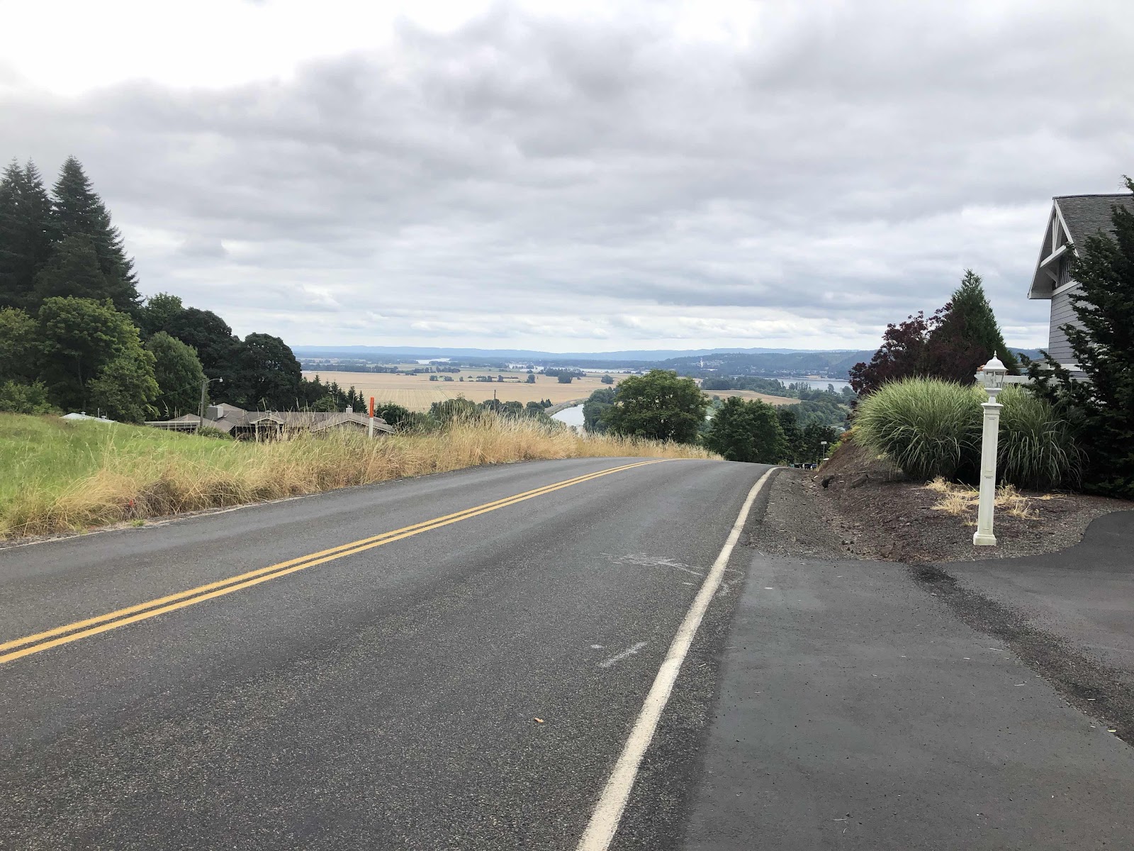
The beginning of the climb before Brownsville 

I think those bees are making clover honey

It’s the Red Baron!

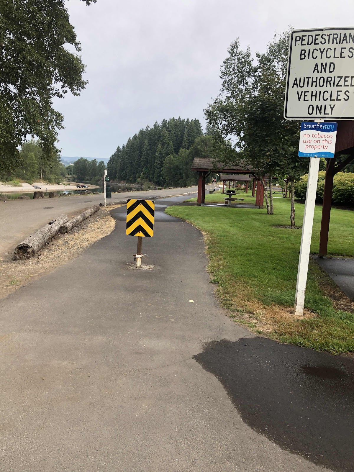
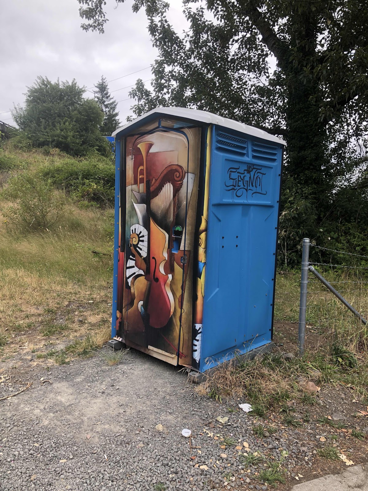
Just before Albany, I came to Bryant Park. I stopped for another break and potty shack opportunity. Then continued through Albany. The route goes through the historic part of town. Most places were closed for the holiday. That was okay, I didn’t have time to stop anyway. 

At 69 miles, I rolled into Jefferson. I took another break, and had a Tollhouse Ice Cream sandwich and the better part of a 32 ounce bottle of Gatorade. 

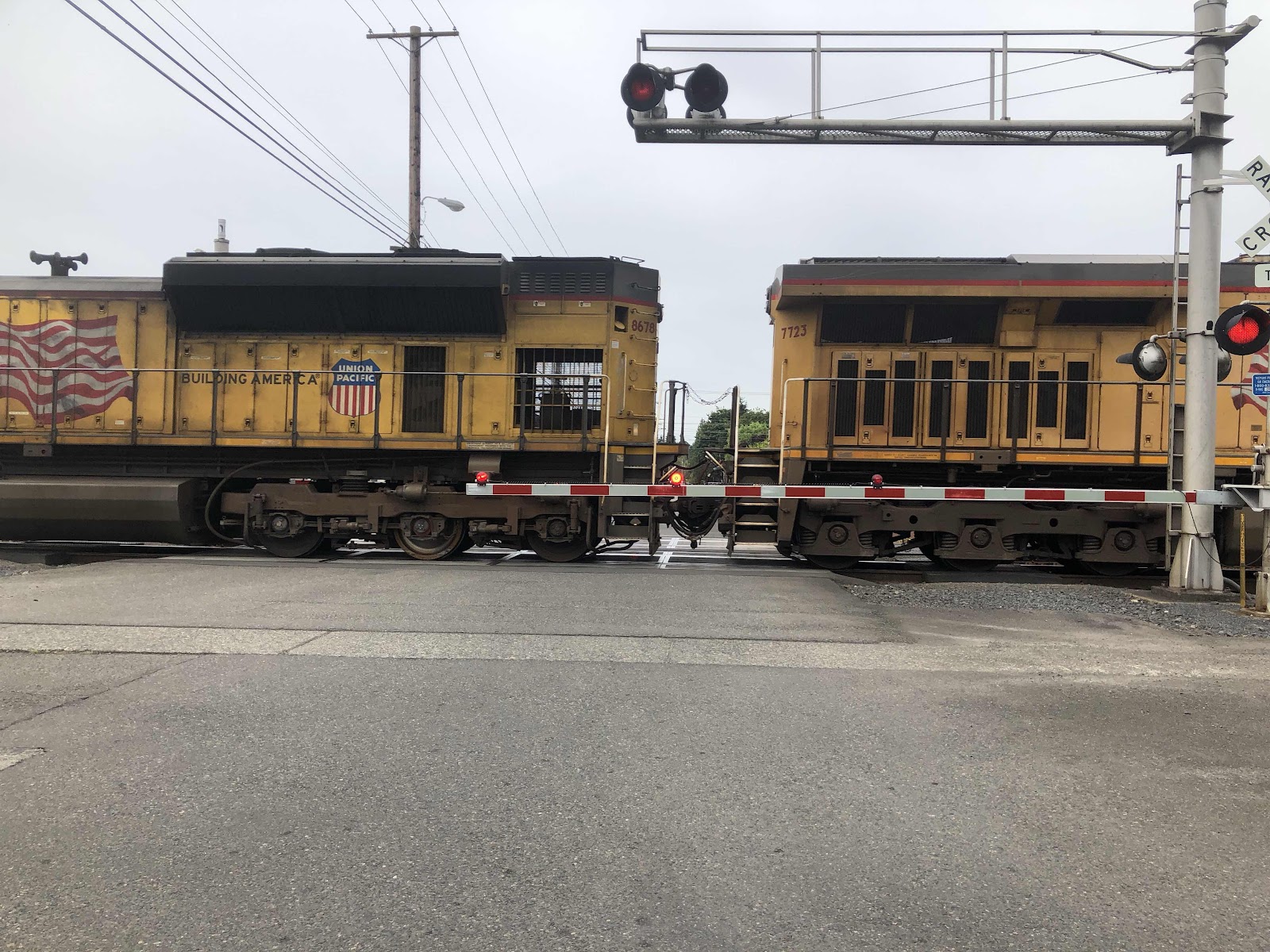
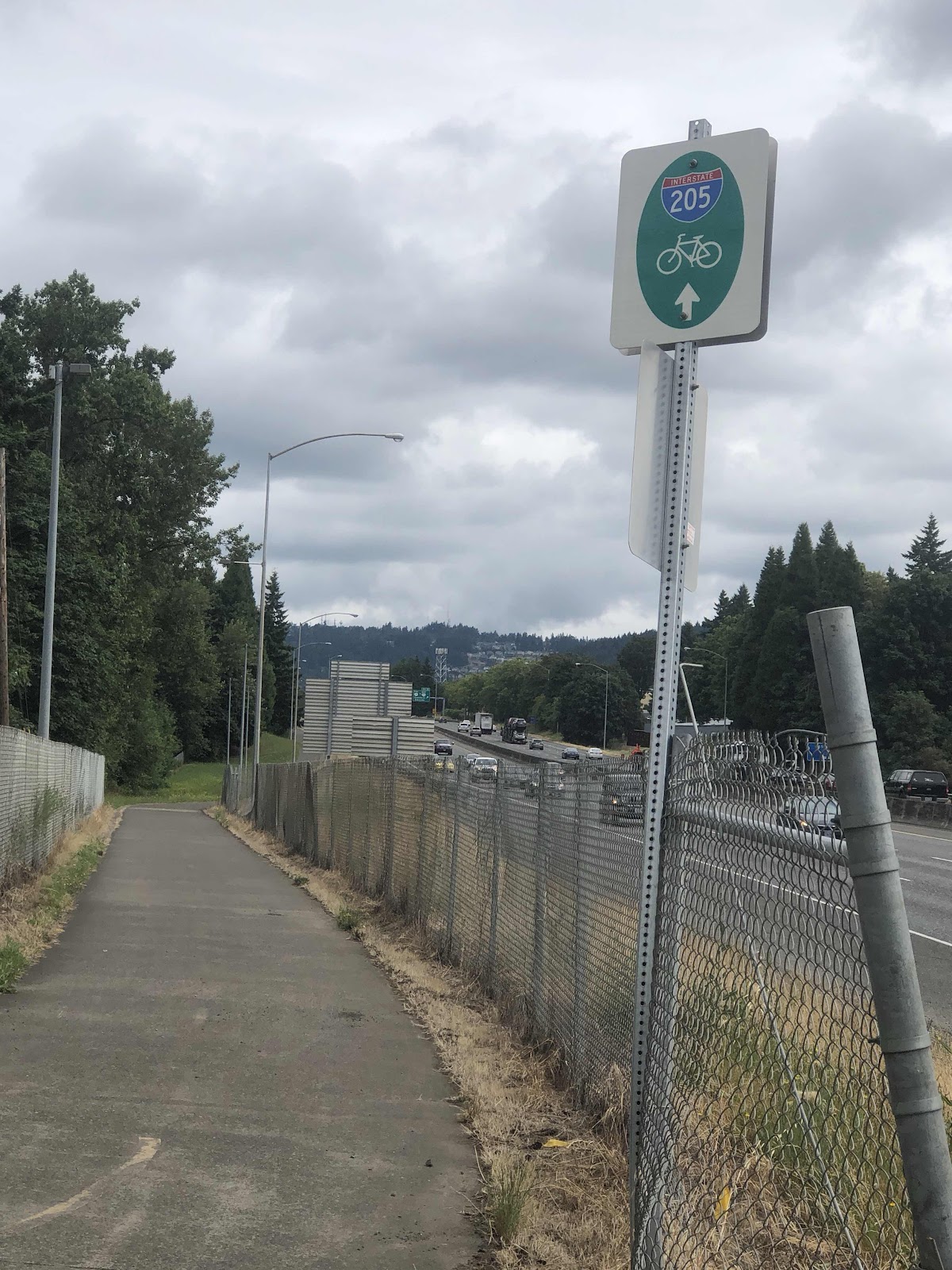
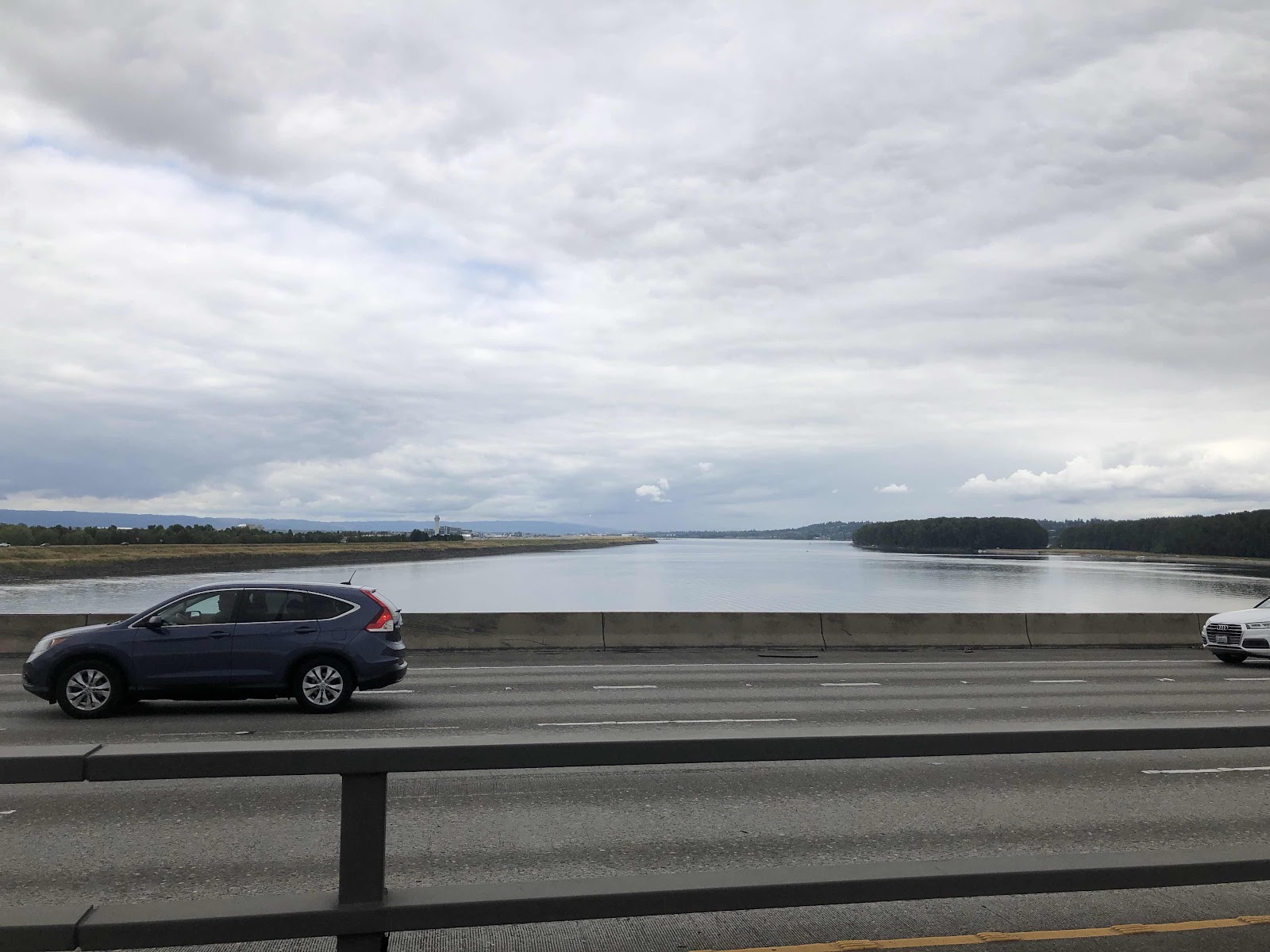
I crossed over I-5 for the fourth time with about 15 miles to go. At this point, the lady parts were beginning to express their displeasure at so much sitting on the saddle (the heat didn’t help). I started standing to pedal quite a bit. 

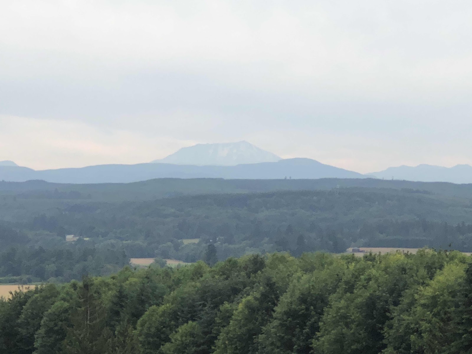
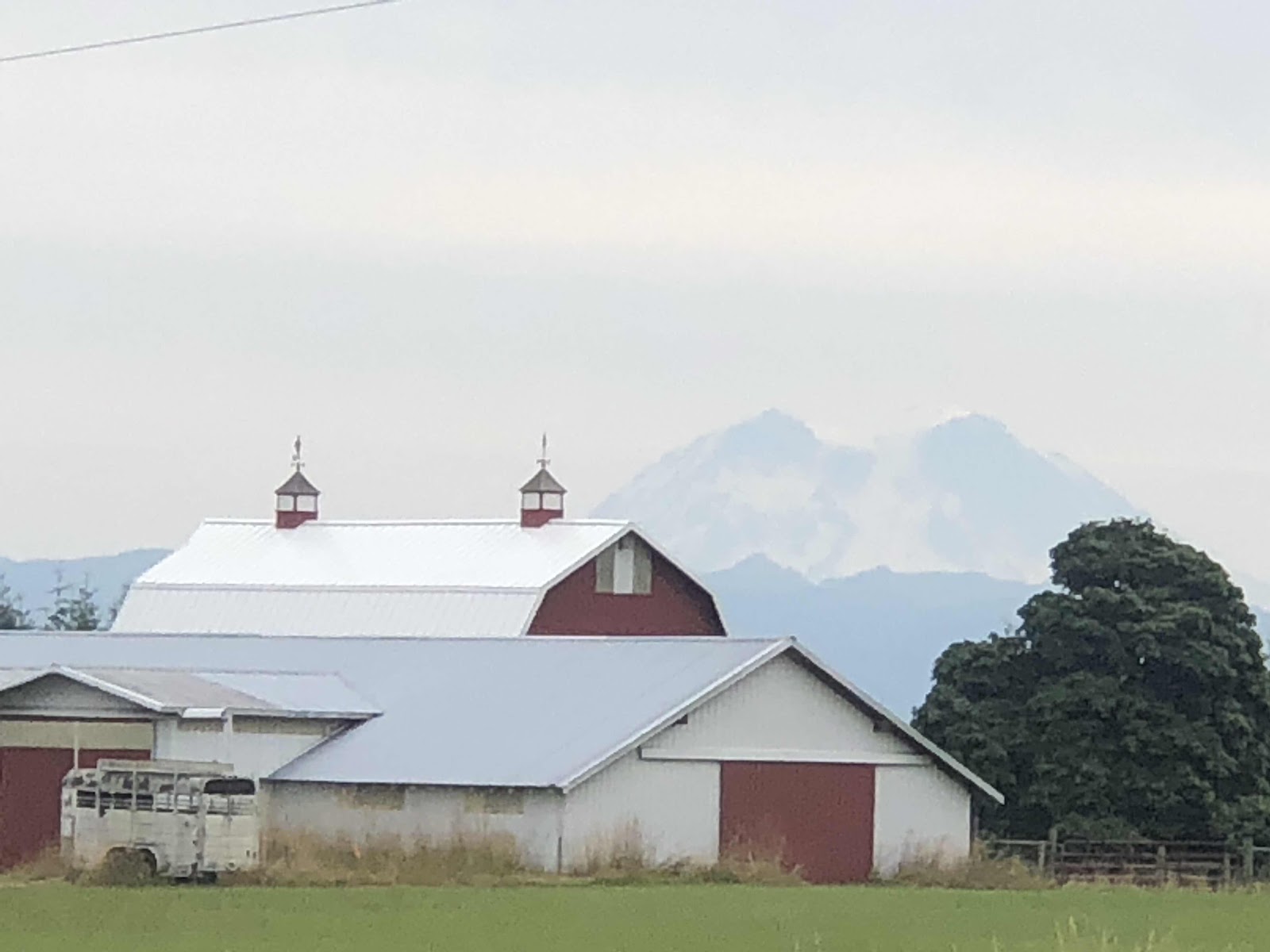
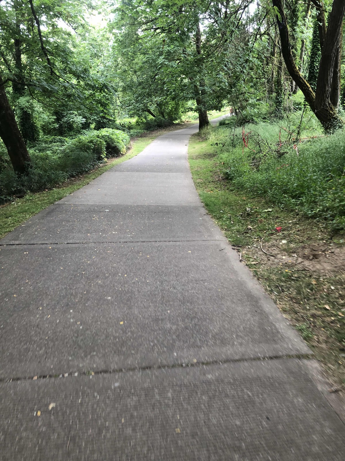
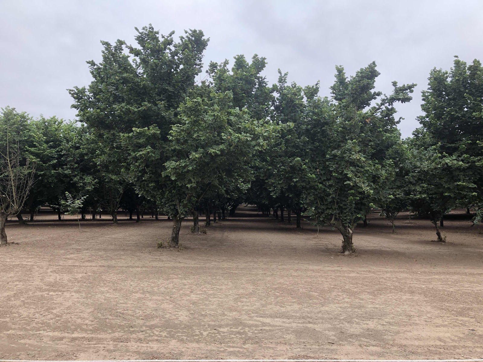
There were a few uphills which actually felt better as they changed the position I was sitting (most of the day had been pretty flat except for one climb just before Brownsville). 

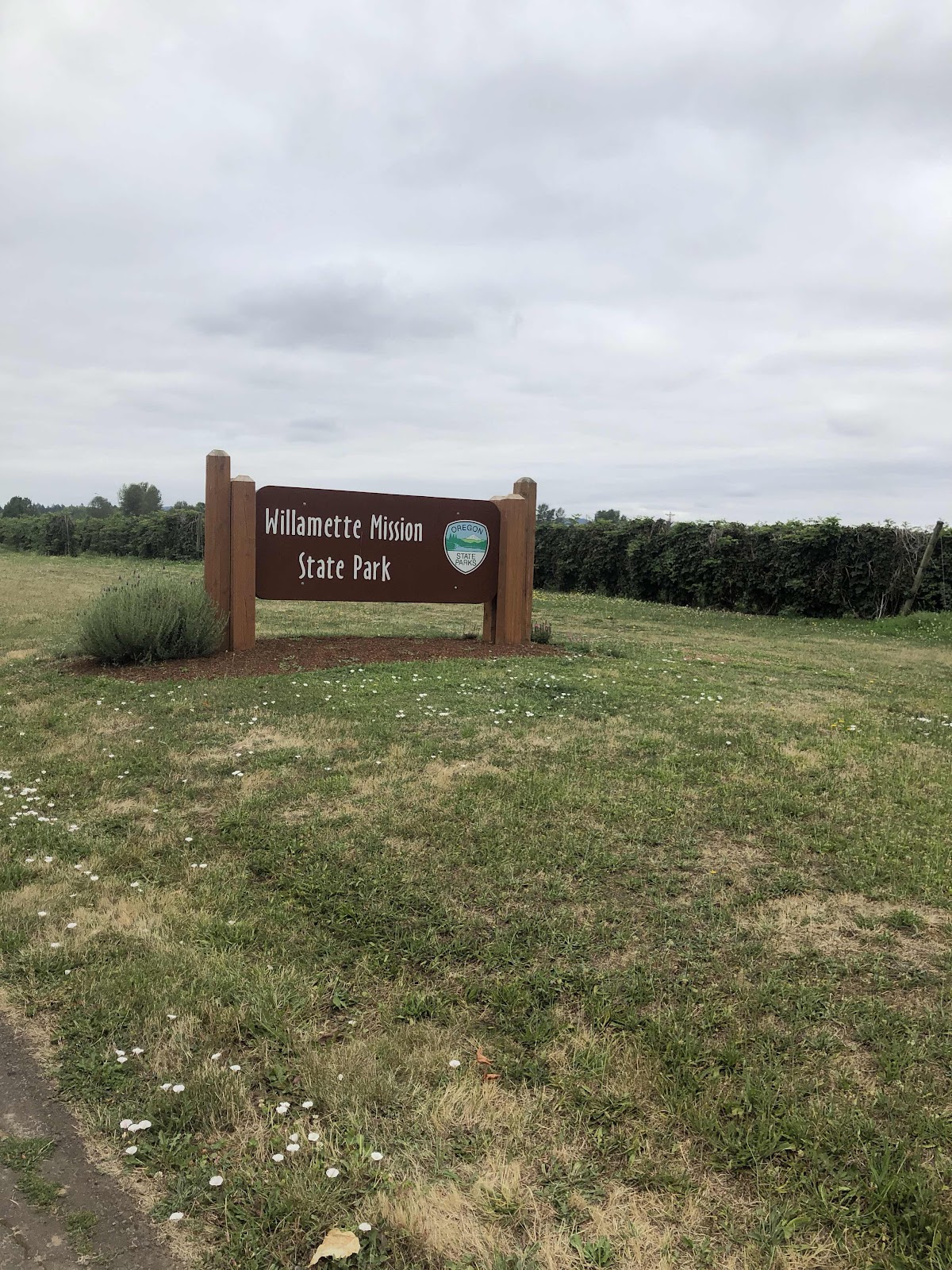
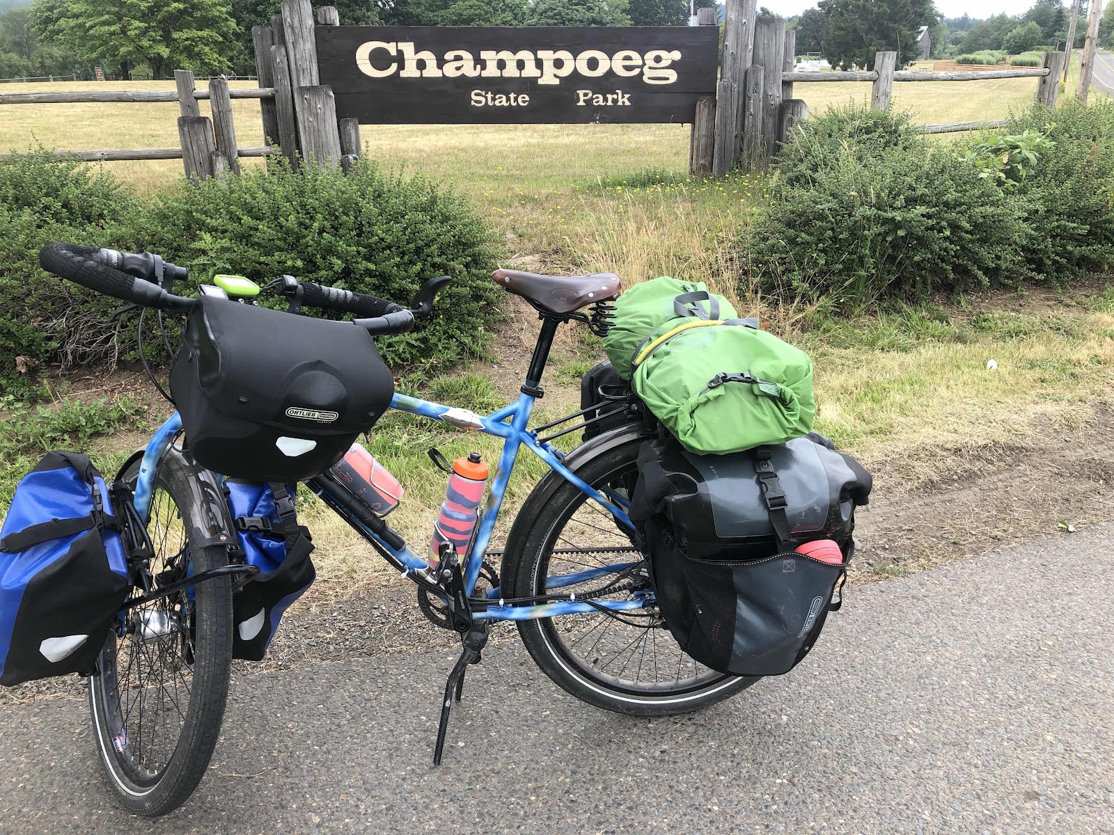
I was seriously counting down the miles...5...4...3...2...and finally I was crossing the bridge into Independence. I have camped at the “Bicycle Campground“ before, but I had no memory of what it looked like until I saw the park. 

As you might imagine, the town of Independence, even though it is quite small, does a rather extravagant 4th of July. 

They even paint stars on the grass!

When I saw the extent of the celebration, I started to get the tiniest bit worried. 


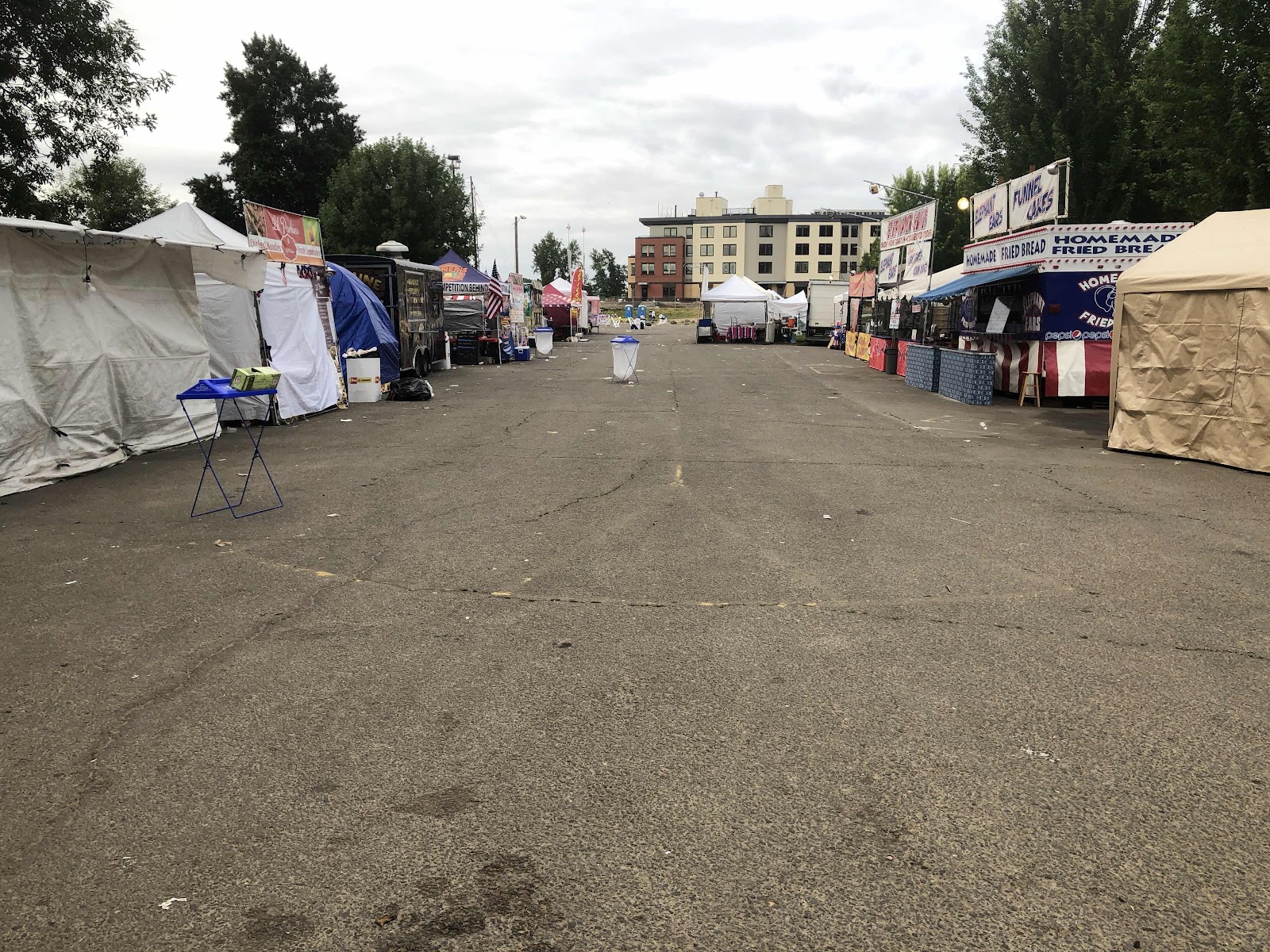
I asked at the Police booth where the bike camping was. Well...turns out the carnival rides are smack in the middle of the bike camping area! Now, if I had ridden the 65 miles like I had originally planned, and it was the 4th, I would have probably just ridden on to Salem. However, I had ridden 90 miles, and I could barely sit on the saddle. So, what did I do? I followed the road down to the river. I thought, maybe I could just Camp by the river. Yeah...that wasn’t going to work (rocky and muddy). Then I saw a trail that went up to what I figured was the other end of the bike camping area, and maybe the end of the carnival rides. Problem was, the trail was very steep. As I was checking it out, a group of about 5, maybe late teens/very early 20s, guys came walking on the trail. I quickly asked if they could help me. I told them I what I was hoping to do. One guy went up and checked to see if we could get through, and two other guys grabbed Tilmann and muscled him up the hill (no small feat). Now, these guys were not your “clean-cut” dudes, yet they immediately jumped to my aid. Without them, I could not have got Tilmann up the hill (even if I took the bags off). I offered to give them a gratuity, but they refused saying only, “Happy 4th of July”!

Sure enough, I came out at the end of the carnival rides, and there were a couple of carnival workers tents. Okay, I thought, I’ll just make like I’m a carnival worker! 


I parked Tilmann, changed out of my bike pants and shorts (this is where the skirt comes in real handy), locked Tilmann and my handlebar bag, grabbed my phone and wallet, and hit the Midway. Well, first I had to figure out how to get to the other side of the fences. No problem, I found an opening, and blended into the crowd. 

I went in search of some food (uh, not hard to find). I sat at the park and ate some pizza and an elephant ear (of course, who goes to a carnival and doesn’t have an elephant ear?), and listened to some music (some old has-been bunch of dudes). Then I walked back through the Midway, through the sly dog opening in the fence, and back to Tilmann. 


I was making my plan of where to set up my tent when I noticed one of the workers at one of the tents. I went over to him, and told him my situation. I asked if he thought it’d be okay for me to set up my tent and make like I was part of the carnival. He told me sure, and that no one would mess with me or my stuff, although they don’t get off until midnight, and they don’t go to bed until about 2:00, and that they might be a little noisy. I told him that was not a problem for me (I have ear plugs). I asked his name (Paul) and told him mine. A few minutes later as I was setting up my tent, he came over and gave me an Employee Gate Pass, so I could go out and come back in at least once. 


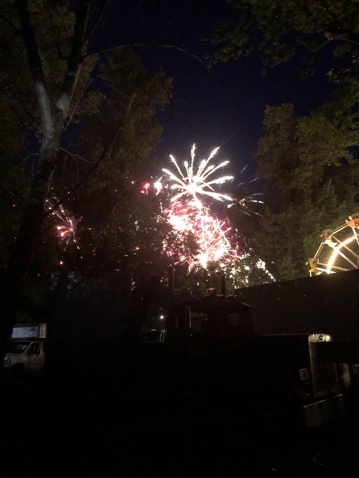
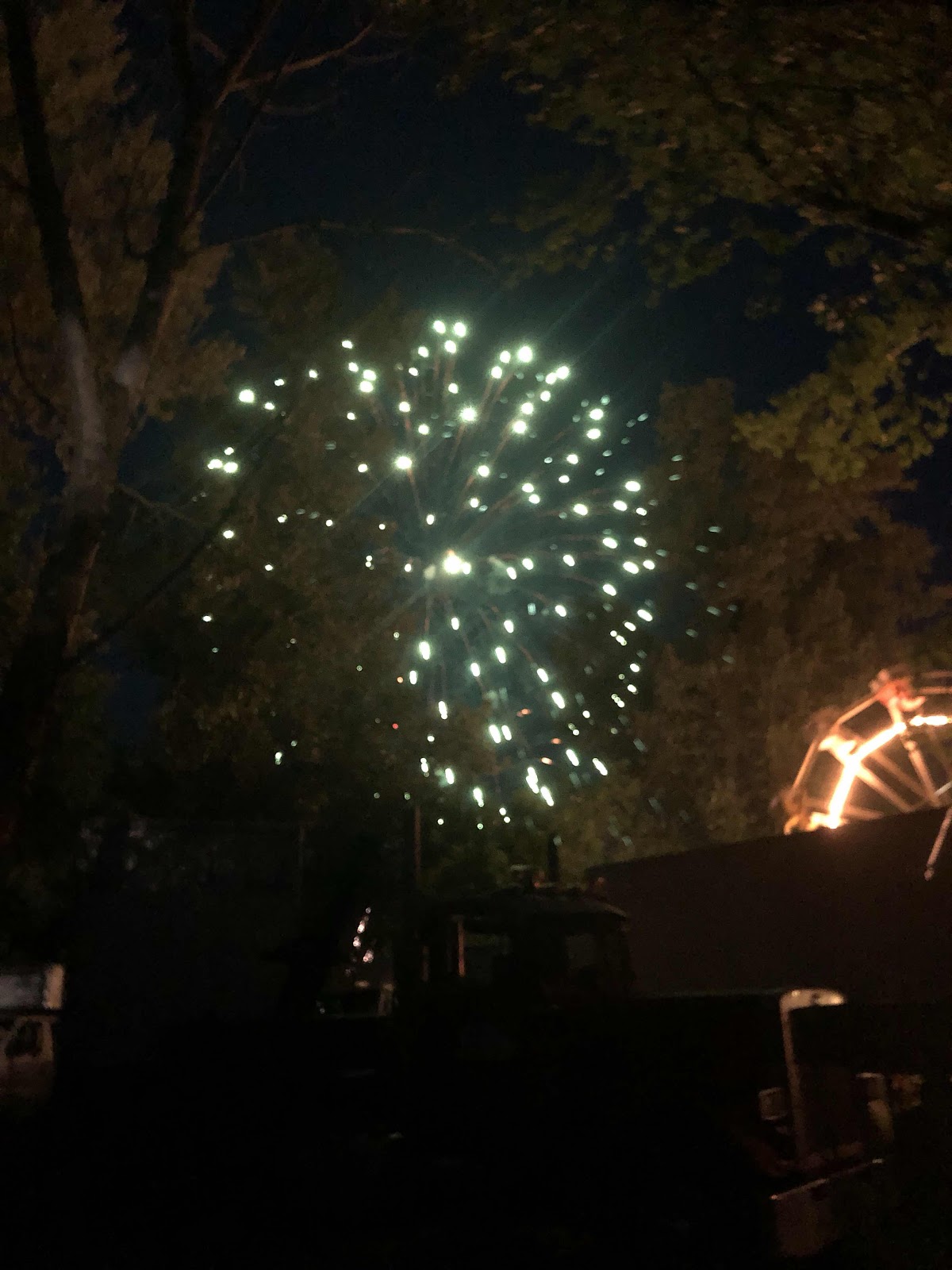
There are fireworks at 10:00, which is in an hour. I’m starting to feel the effects of my 90 mile day. I don’t know if I’ll be able to stay awake long enough. 

One thing is for sure, this may not have been a good idea, but it will definitely go down as my most memorable 4th of July!


Wednesday, July 3, 2019

OSBT Day 26-Made it to the Beginning of my last Scenic Bikeway

Last night I slept on the Thermarest Neo Air Uberlite. It was pretty comfy. I would still like it in the 25” width I stead of 20”, but it looks like they don’t make it in the regular length and the wider width, anyway here’s a photo of my Nemo pad and the Thermarest. 
Quite a difference. 

I gave the pad back to Brian, and said my goodbyes. We’ll keep in touch via email. 

I got on the road at my usual 8:00. Today’s ride was mostly continuing downhill toward Eugene along the McKenzie River. The shoulder varied in width; sometimes nice and wide, sometimes not so much. 

I stopped in Vida for a snack around 10:00, then continued on. I went by the Goodpasture Covered Bridge. 


Last time I rode across it. This time I just took the photos. 

I also rode by this...dam?

Still a lot of hills. 

I had taken a photo of the section of map (Trans Am) that Ken had. Adventure Cycling routes to Armitage from a backroad that I turned onto in Walterville. It was nice to get off the highway before coming into busy Springfield, then Eugene. 

At 51 miles (almost exactly the same as yesterday), I arrive red at Armitage County Park. The office sign said they were full, but there is a place for cyclists it costs $20! Sheesh! Shower was good though. They also have laundry, but I don’t need do do laundry again just yet. 

I went to check on some charging I was doing. When I got back, this fella was mighty close to my food panniers. 

Look! Portrait mode even works for critters!

It scampered up the tree, but was soon back. 

Me thinks I’ll be putting the bags in my tent should I happen to leave them unattended. 

Tomorrow, I start the final Scenic Bikeway...Willamette Valley. I had hoped to make it to Independence on the 4th of July, but I’ll have to settle for Brownsville.