The ride to Sisters was just view after view of the mountains I’ve been seeing. I did get to add Mt. Jefferson to the mix. So I was seeing Tumalo, Broken Top, the Three Sisters, Mt. Washington, and Mt. Jefferson. There were also some other peaks that, I’m sure have names, but I don’t know them.
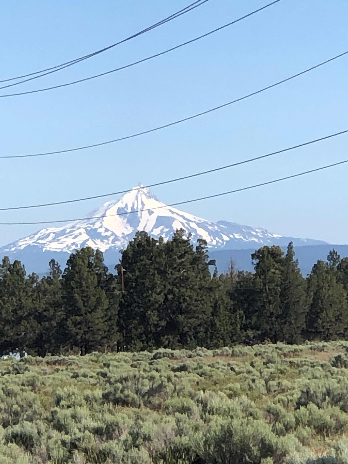
Mt. Jefferson
In Sisters, I first rode to the park where the Scenic Bikeway begins. Then I decided to find a bakery. Easily done. I got an apple fritter that was bigger than my hand with my fingers splayed out (and I have long fingers)! It was so big, I couldn’t eat the whole thing. I saved about half for later.
The actual Sisters to Smith Rock Scenic Bikeway was fine, but nothing I haven’t seen. It trended down, but there were still some pretty good ups too. There was just one town, Terrabonne, and that was just 4 miles from Smith Rock. I stopped there for some lunch. I had a huge chef salad and some tots. It was good I only had to ride 4 more miles!
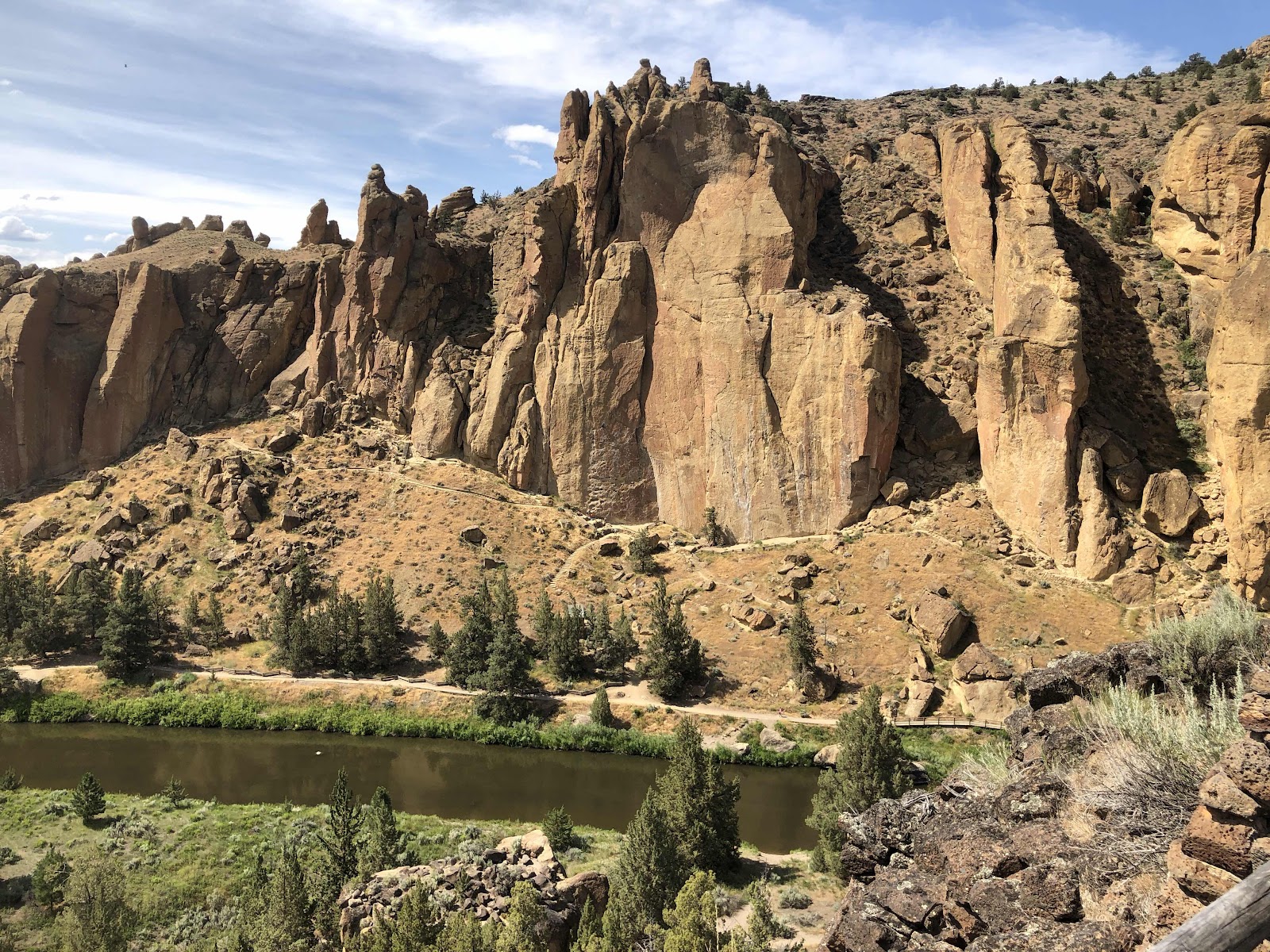
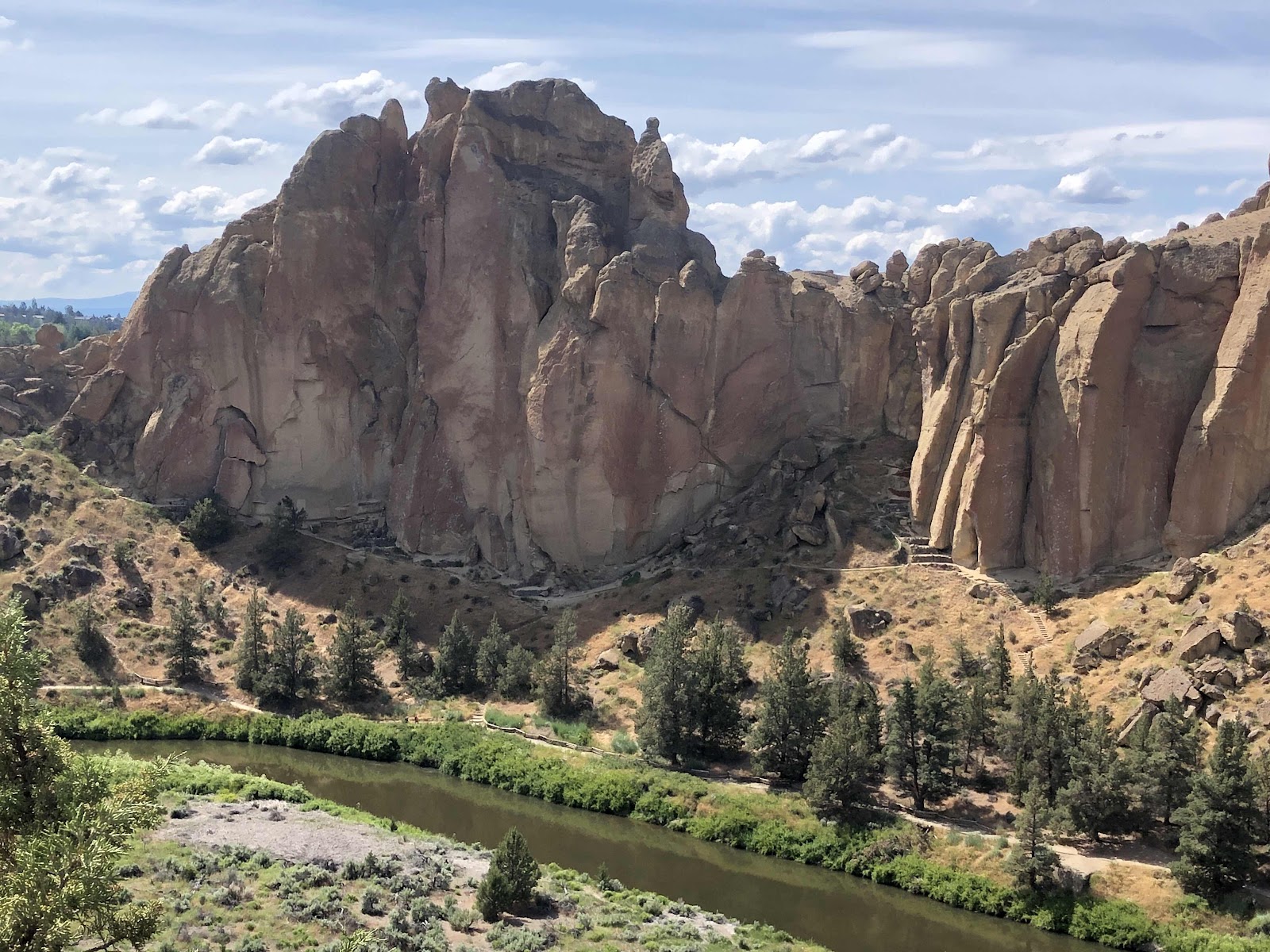
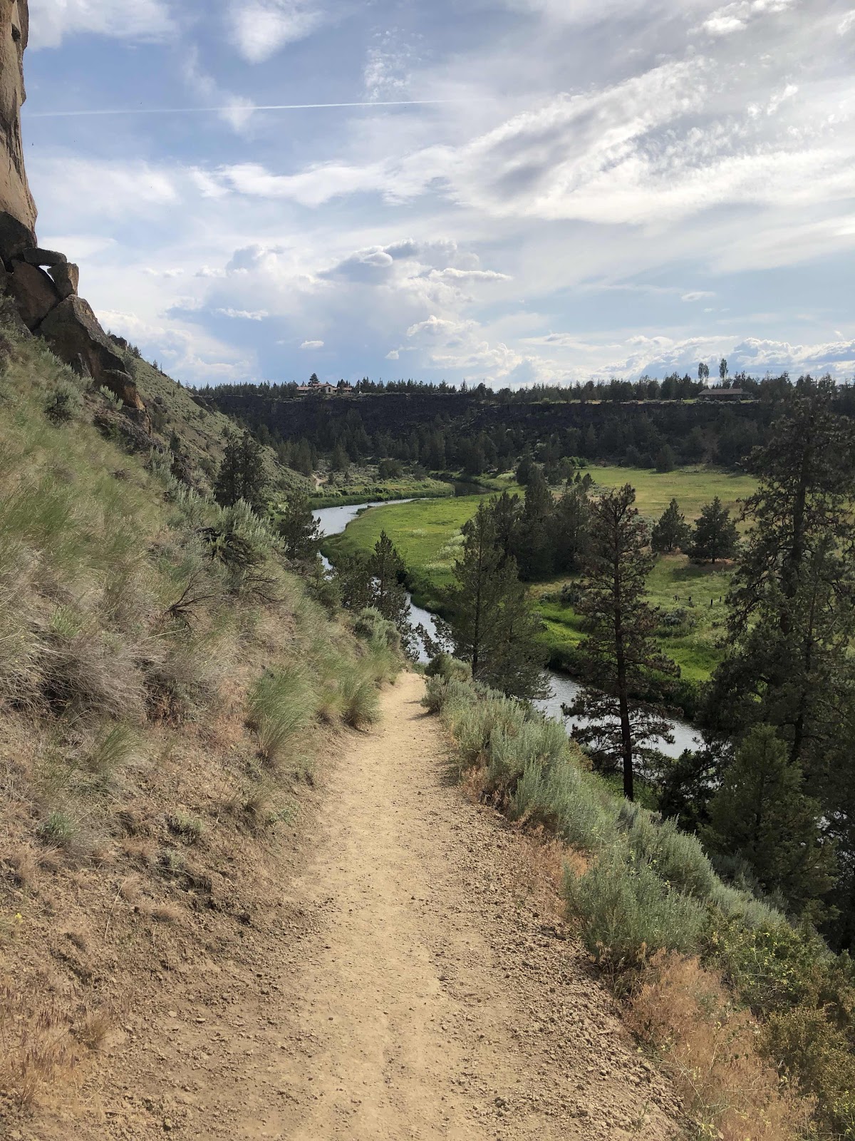
I arrived at Smith Rock State Park around 2:00. The camping situation is pretty interesting. It is tent only. There is no assigned sites, just a big area called the Bivouac Area. There are quite a few people here. I found a nice little spot with a tiny bit of shade (it was quite toasty here). My tent was soaking wet from last night’s rain, but almost as soon as I got it set up, it was dry (unfortunately, as I am writing this at 9:30pm, it has begun to rain). Once everything was set up, I took off for a hike. I looked at the trail map, and decided I should probably do just the easy to more difficult rated trails. I hiked the Rimrock trail from the campground over to the day use area and the rest of the trails. There were some pretty great views.
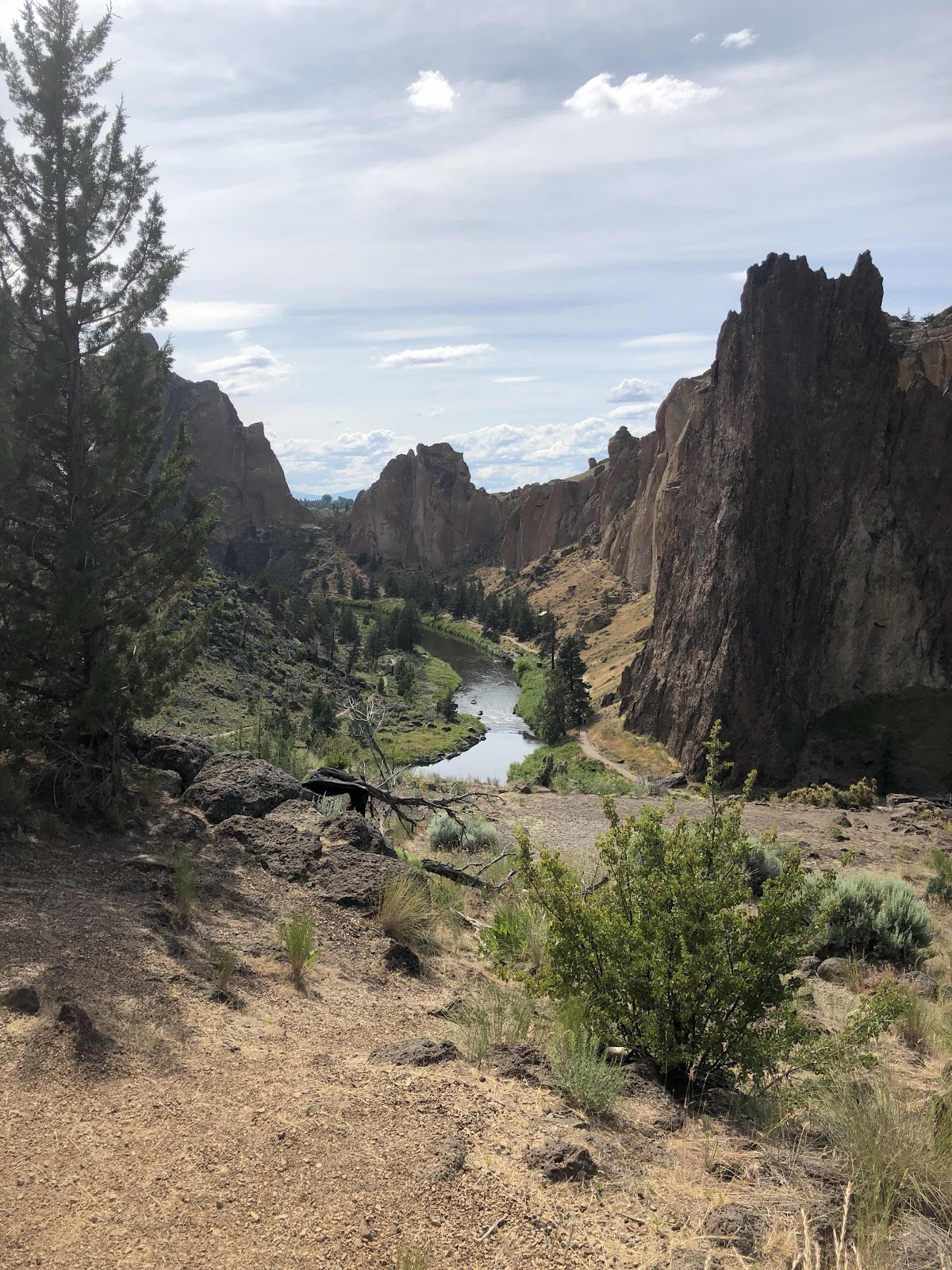
Next, I was going to hike the River Trail, but when I crossed the bridge, and saw all these people going up the Misery Ridge (rated Most Difficult) Trail, I decided if some of them could do it, I could too.
Let me just say, it was amazing. I climbed higher and higher. The views got more spectacular with every step!
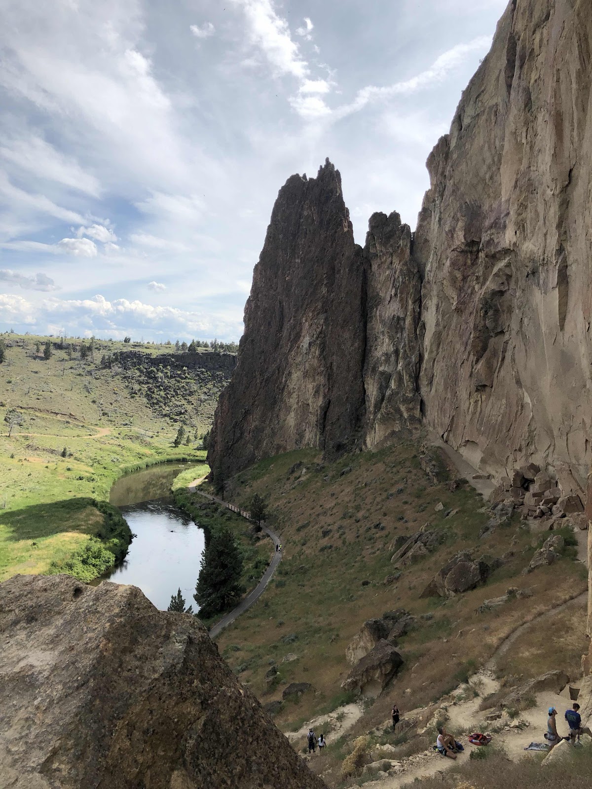
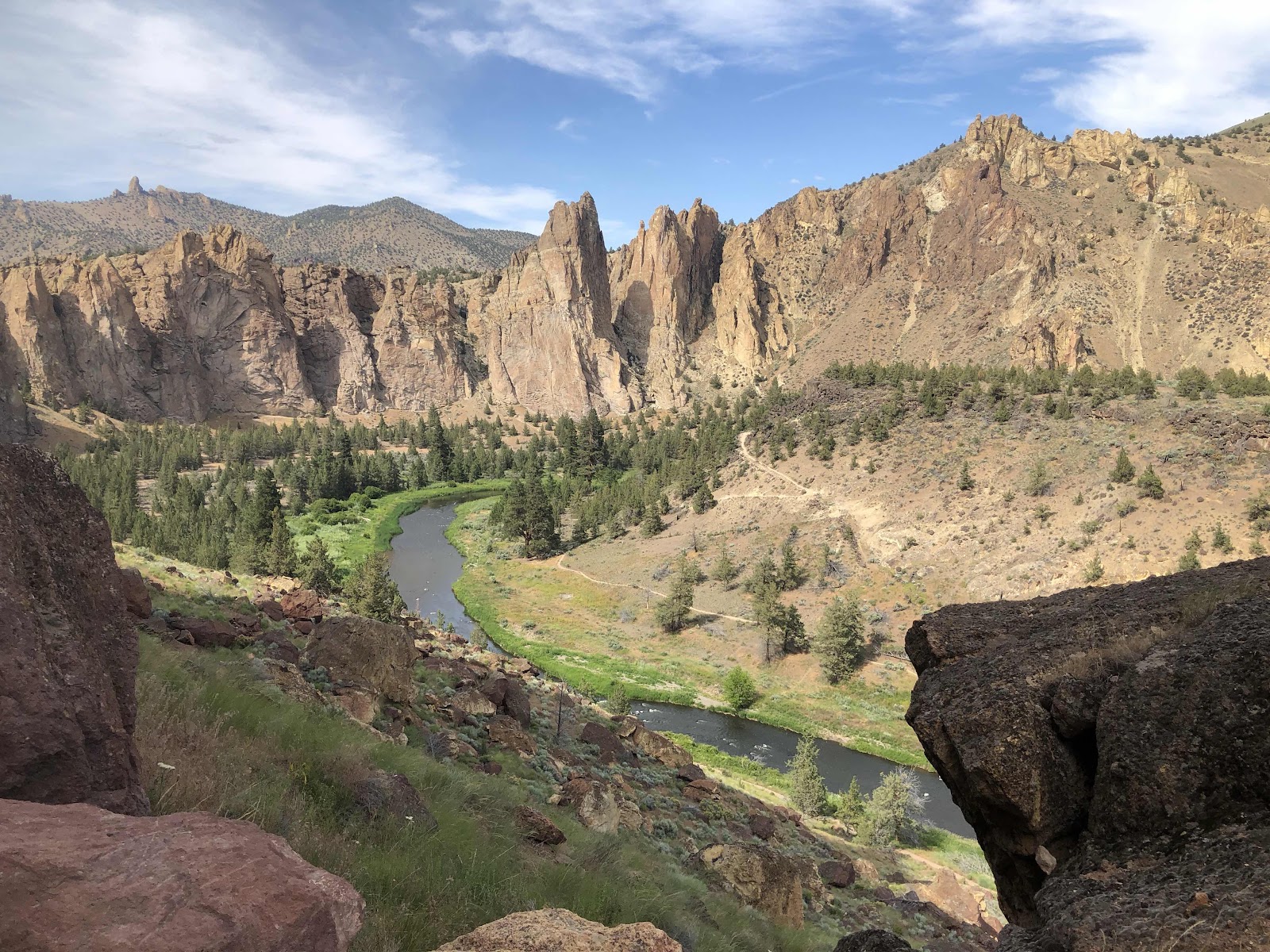
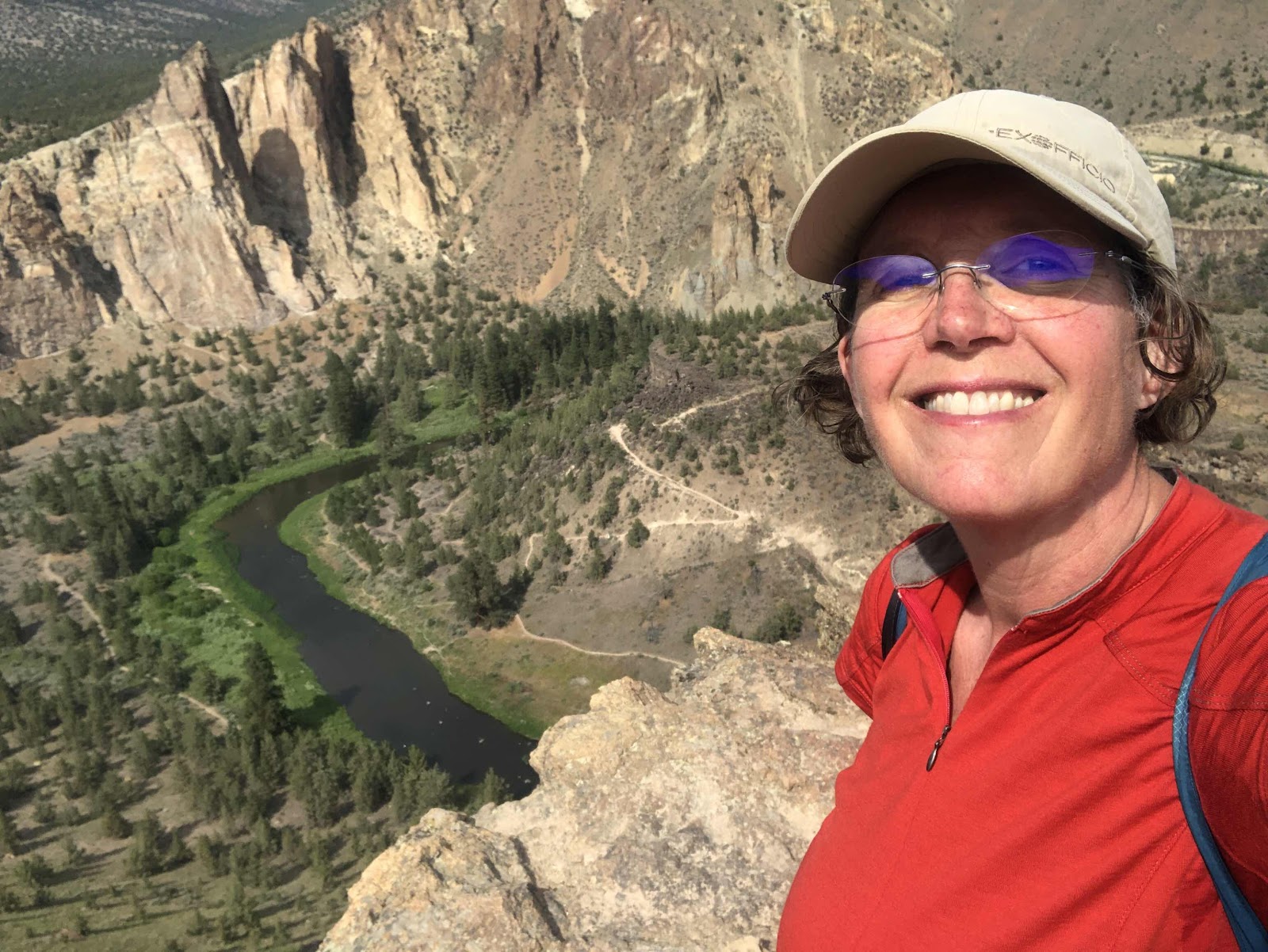
At last I reached the top.
That’s right, I had crossed the river down below!
The descent down the other side was steep, but no stairs. I was very careful to not slip. There were lots of climbers on several parts of the rock. It looked mighty scary to me.
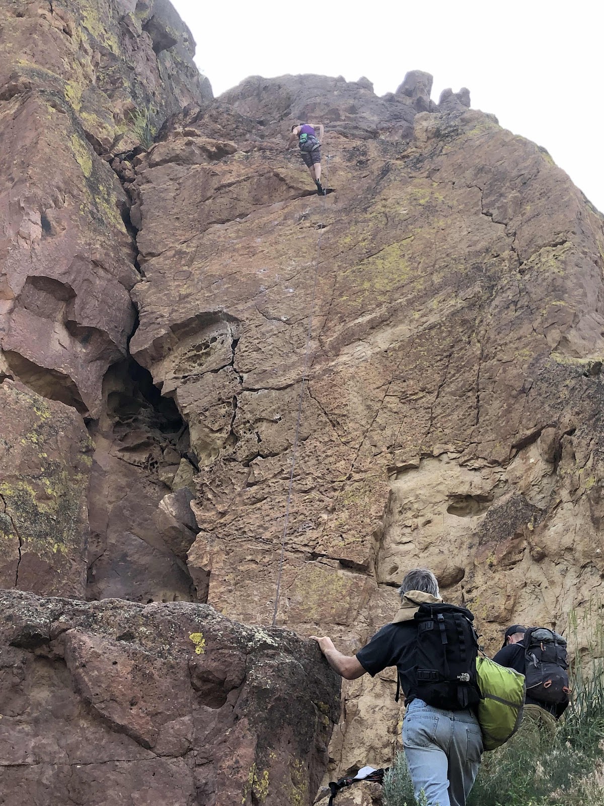
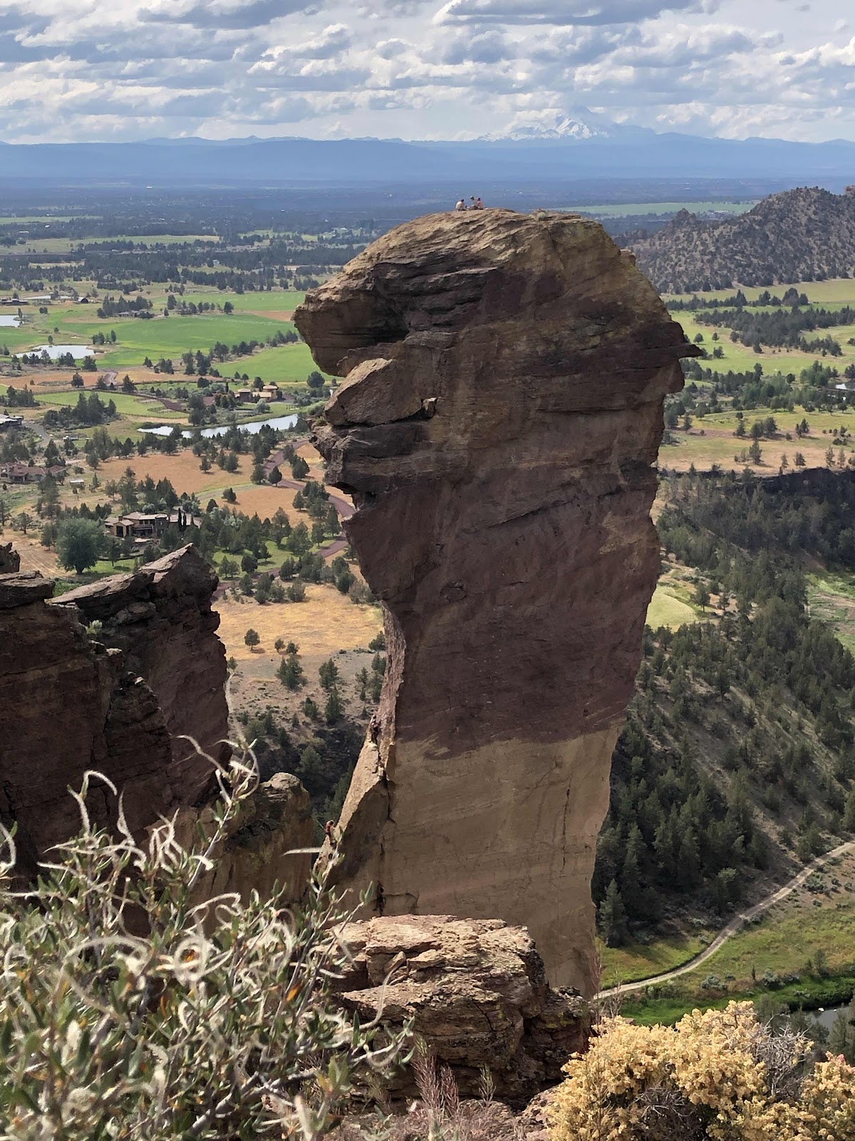
See the people on top? Yeah, there’s no trail to get there!

See the guy in the middle of the photo?
I’d say there is some danger involved if you’ve got to have something like this.
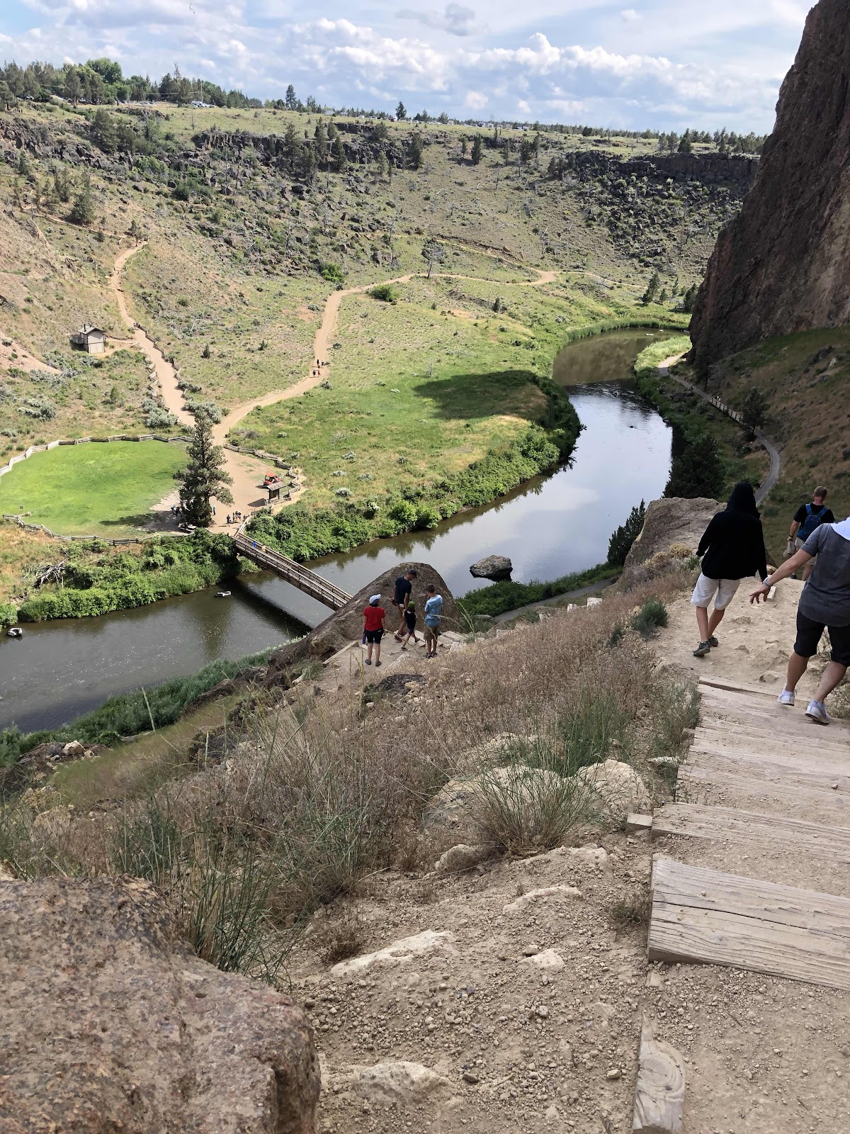
The Misery Ridge Trail came down to the Mesa Verde Trail, and then down to the River Trail.


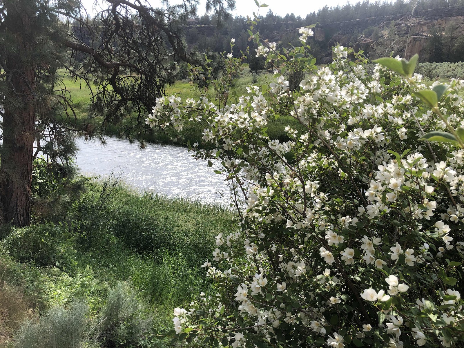
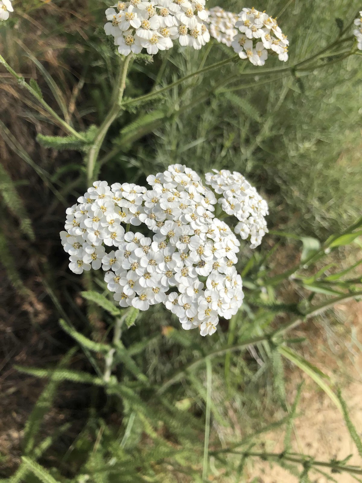
Down along the River there were some pretty flowers.
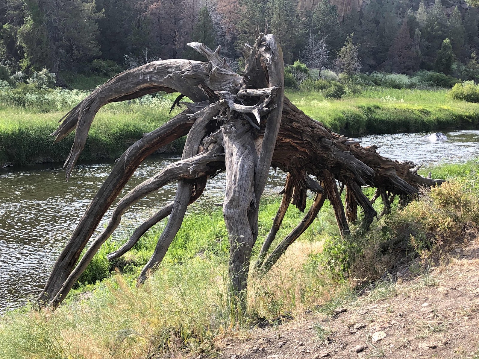
Okay, not a flower, but a cool looking dead tree.
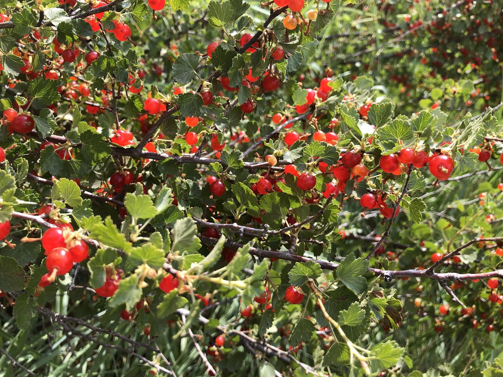
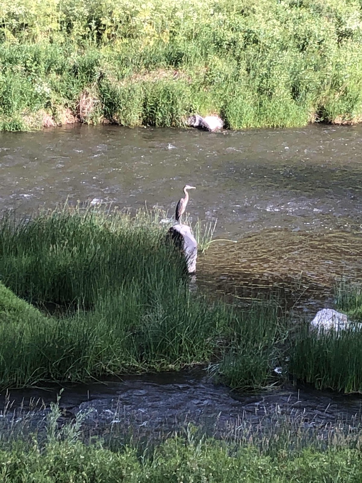
There was also some wildlife.
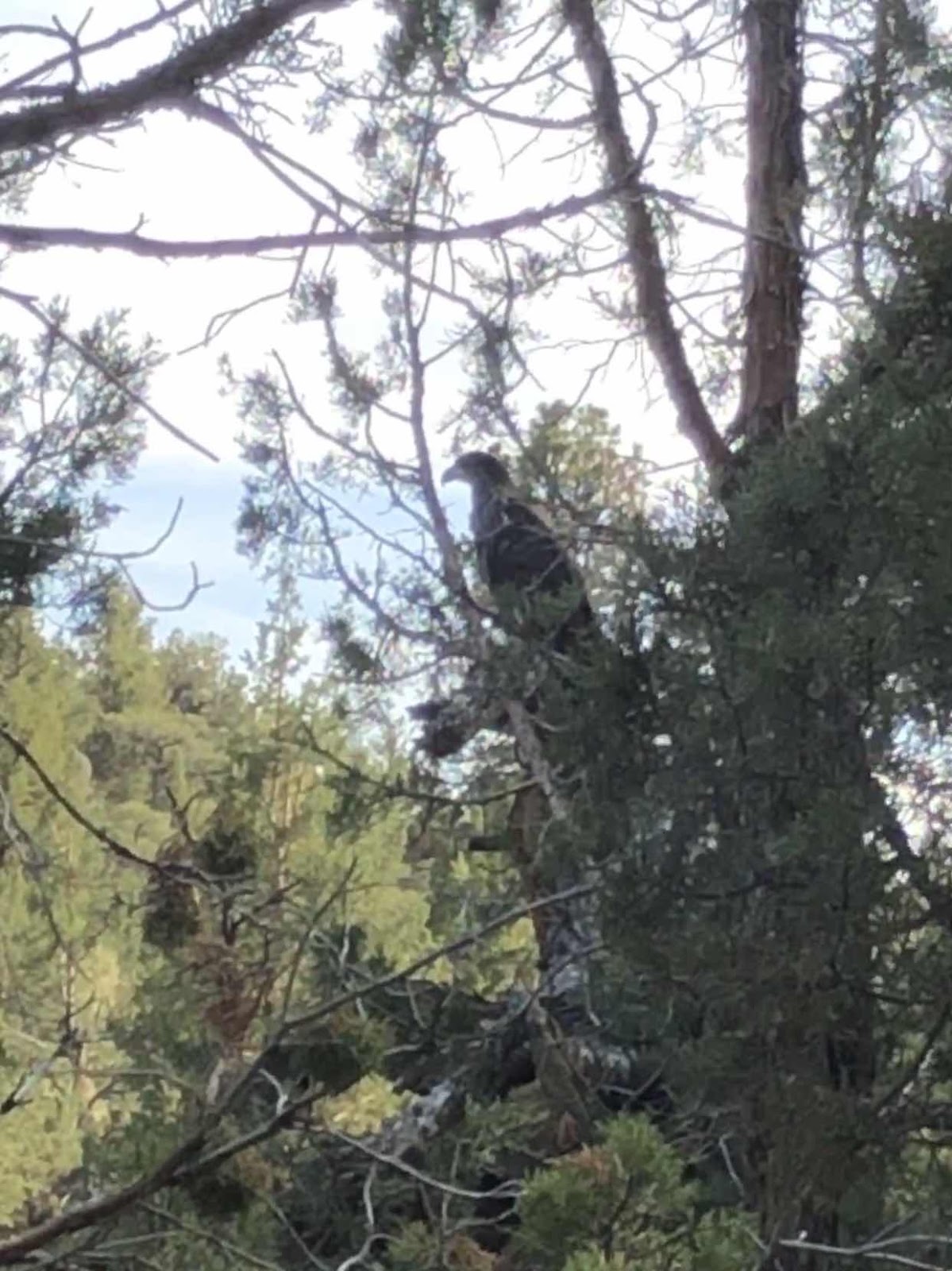
Big ol’ eagle sitting in the tree.
The trail continued to follow the river back to the bridge.

Is that not postcard perfect???
I returned to my campsite having hiked 5.5 miles. I took a welcome shower (yep, they even have showers here!), then went to the designated cooking area to fix my dinner.
There were some ominous clouds on the horizon, so I prepared for rain. Then this happened.

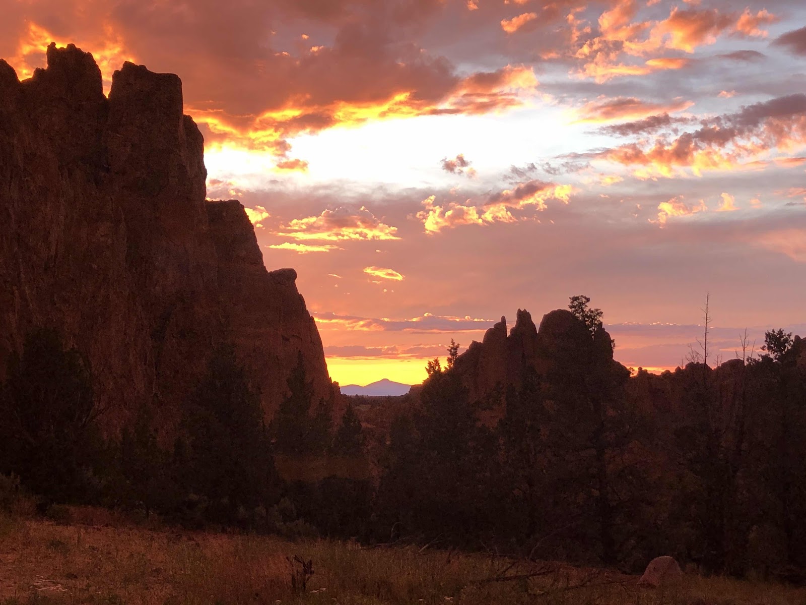
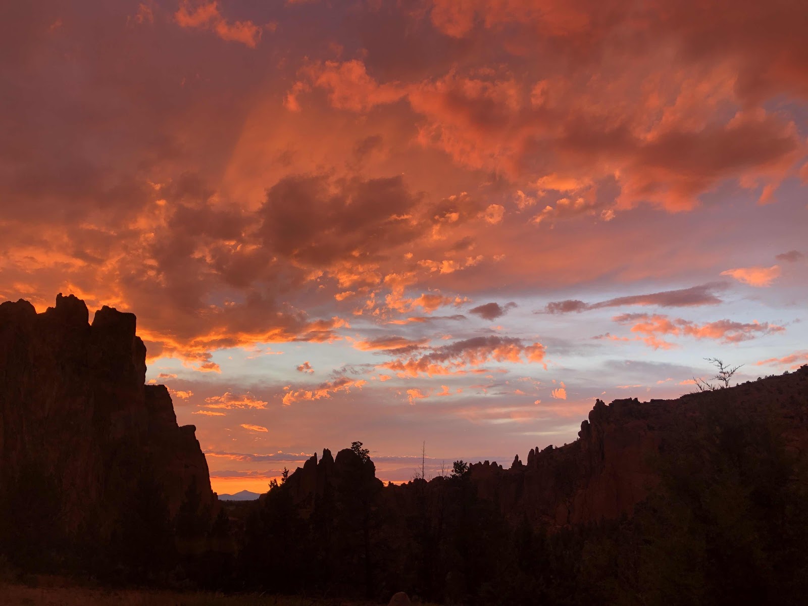
What a magnificent sunset in a magnificent place!
Now, of course it is still raining, and my tent will probably be all wet again in the morning...but, who cares!
No comments:
Post a Comment