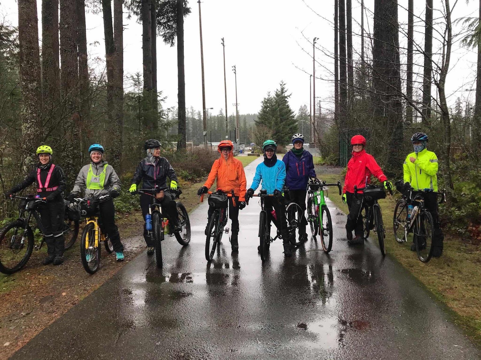
Thanks to Reeve (the course creator) for this group photo. L to R: Stephanie, Amy, Jana, me, Beth, Linda, Bethany, and Karen
A guy named Reeve set out to create a scavenger hunt for gravel bikes. He created a course that we would follow by scanning QR codes at checkpoints to then open up Google maps and get directions to the next checkpoint. This was in the Black Diamond Open Space area near the town of Ravensdale.
The course started at Ravensdale Park. Reeve was there to get us going, and answer any questions (and he gave us each a Clif Bar).
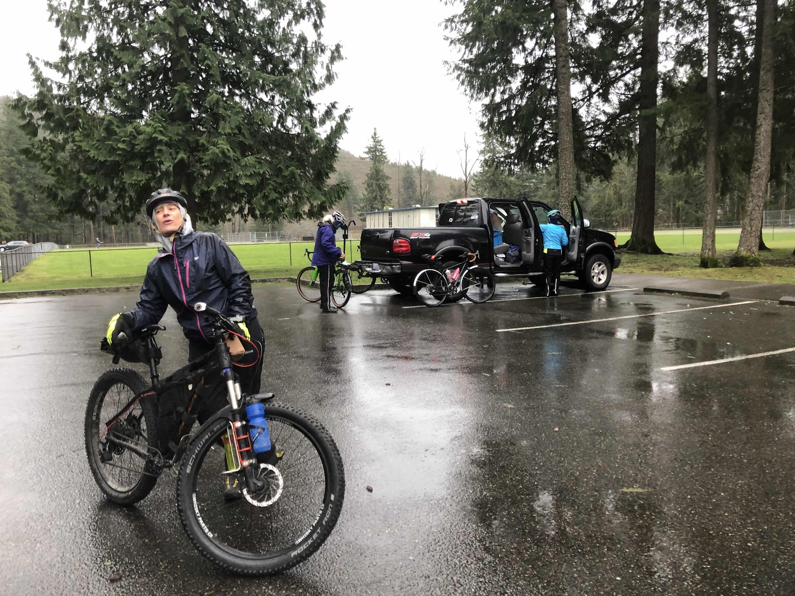
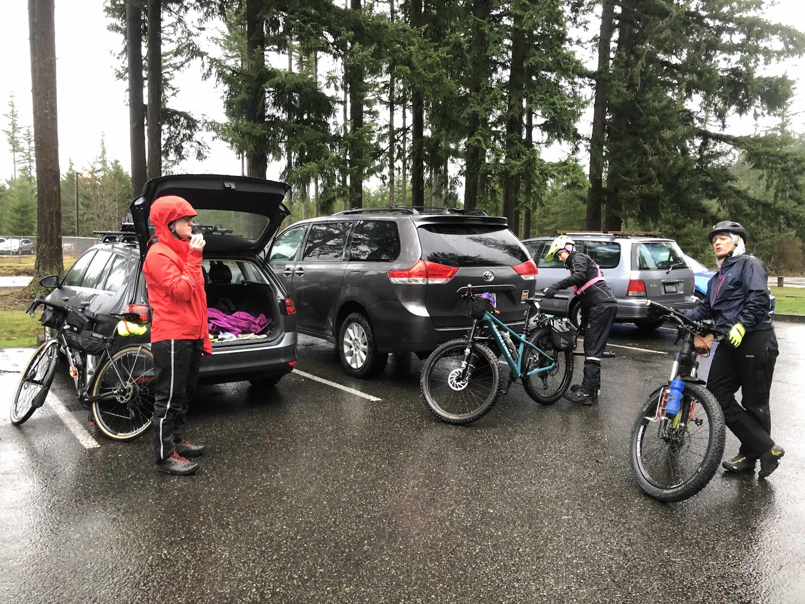
Getting suited up and ready to do this thing!
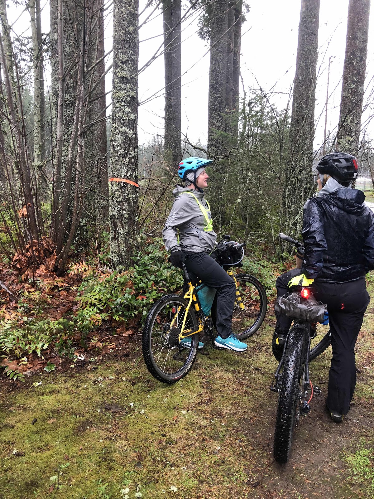
The weather was less than optimal, but not too terrible either. It was just a typical rainy day. First we did a little walking course to make sure we understood the process of scanning, and navigating to the next checkpoint. Once everyone had that figured out, we scanned the first checkpoint of the course.
The checkpoints were marked with orange tape around a tree (on the other side of the tree is the QR code card).
We set off right on schedule at 9:30. Karen and Beth had their phones mounted to their handlebars. This was quite helpful. Mine was in my chest pocket of my raincoat. While I couldn’t see the map, I could hear the directions. This worked...mostly. The first section to the second checkpoint was mostly pavement (1/2 mile). At checkpoint 2, we were now on gravel that rapidly became singletrack.
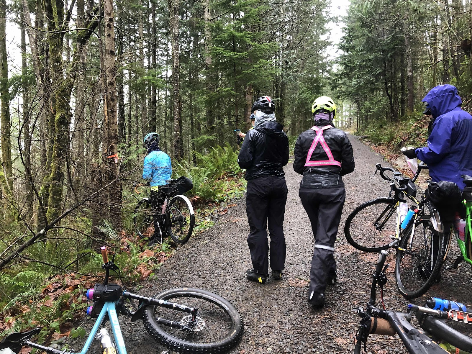
Second checkpoint
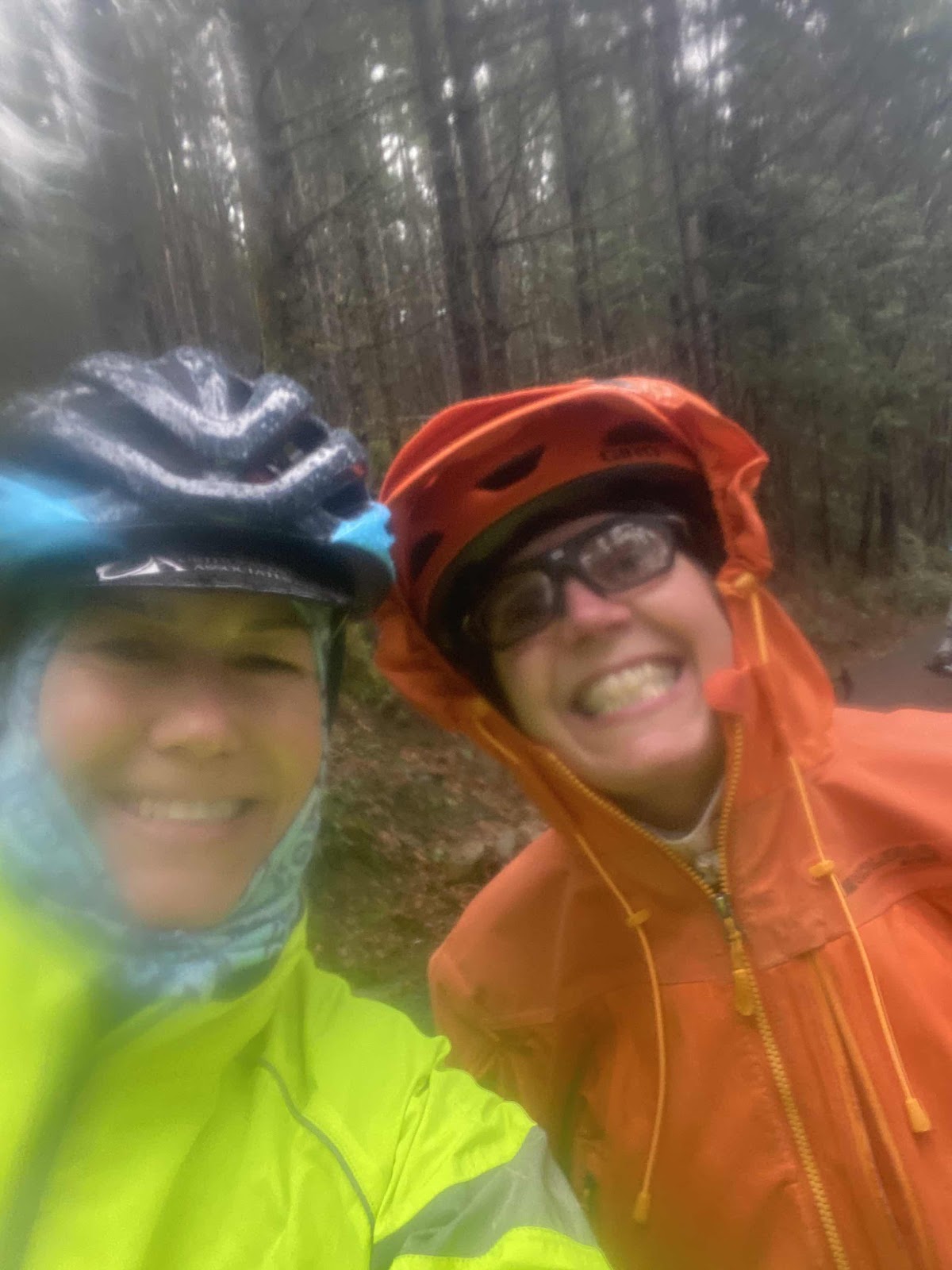
Karen and I (photo by Karen)
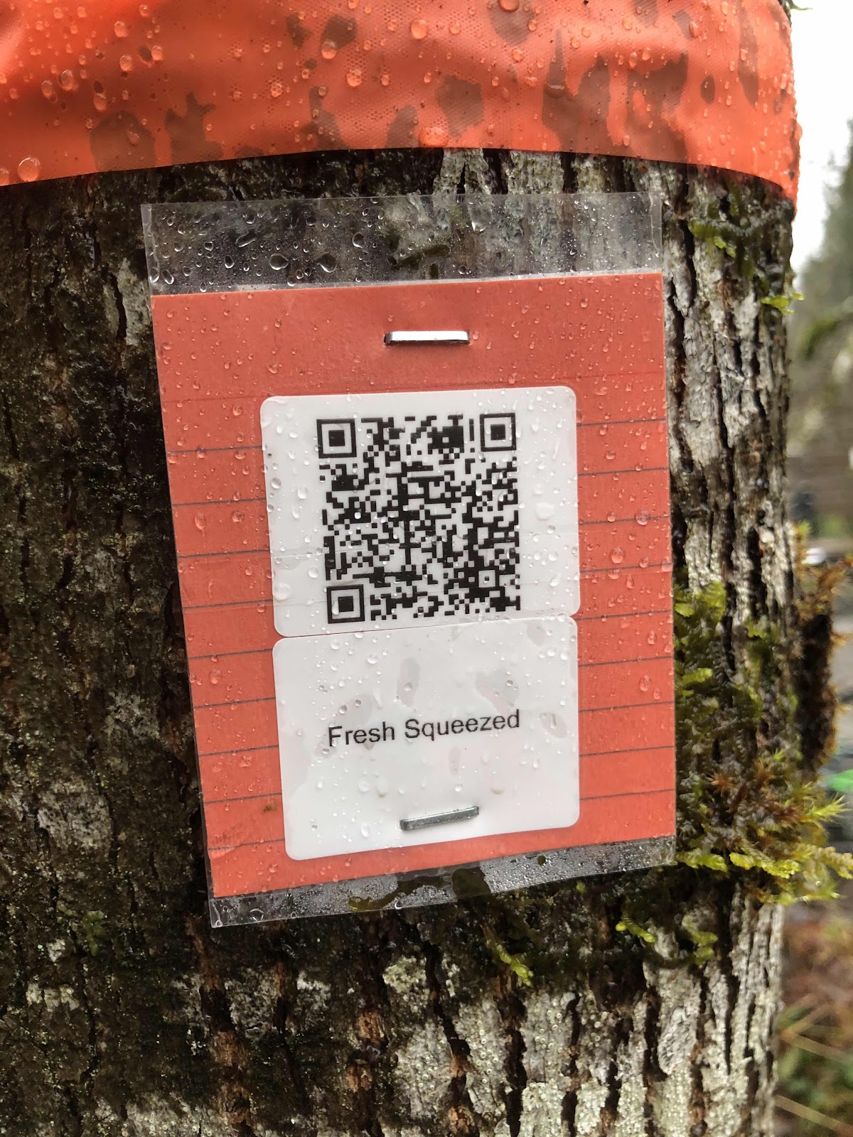
Example of a QR code card.
We continued in this fashion, riding from checkpoint to checkpoint. For a “gravel” ride, it was pretty much all single track. Those of us not on mountain bikes did go an alternative way that kept us on gravel instead of a trail. That was the only time Google Maps gave us two options. We were on trails with names such as Rte 66, Broken Arm, Fresh Squeezed, Choosal, Berm-a-nator, Deliverance, and Tribulation. Some almost qualified as gravel, but mostly it was singletrack. There were rocks and roots galore. I walked quite a bit. I am not a mountain biker (Mama Cass may have been a better tool for the job).
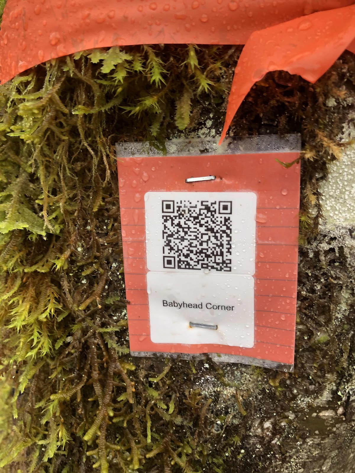
“Babyhead Corner” does not instill confidence. Actually, that turned out to be one of the easier sections.
Google maps was not necessarily always right. We also used Trailforks to give us a better picture of the trails. Sometimes we used this...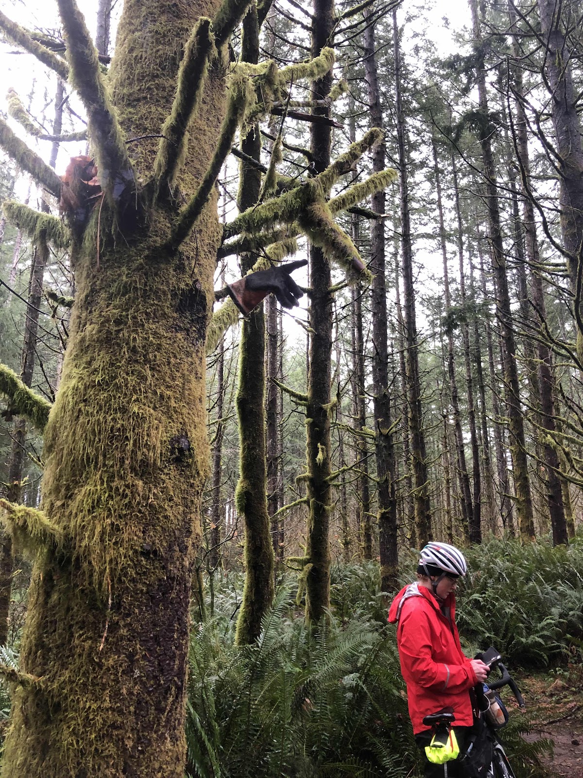
See the glove in the tree pointing the direction we needed to go?
See the glove in the tree pointing the direction we needed to go?
We also came to this landmark (but not a checkpoint).
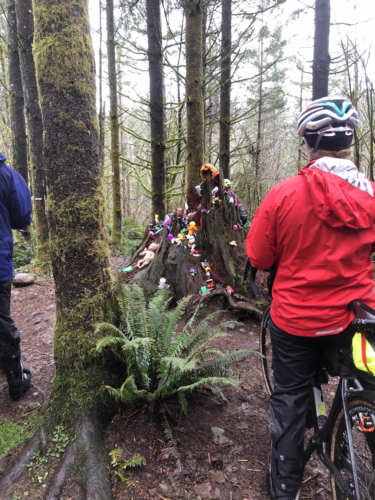
This is the Toy Tree (really, it’s a stump).
We encountered a few other people riding the trails, but they weren’t doing the Gravenger Hunt. We also encountered a few hikers. If we weren’t out in the same weather, I would think they were crazy.
The wind started picking up, and it really is crazy to be out in the woods in substantial wind. At the Babyhead Corner, we decided it was time to get ourselves back to the start. We still had more singletrack, but it brought us out to a road which we were then able to take back to the park. Amy and Steph (on mountain bikes) opted to route back in such a way as to stay off the main road. They arrived back at the park not long after we did.
So...are we glad we did it? I think it was a unanimous yes. It was a great opportunity to ride someplace new. On a better weather day, we may have gone further. Also, my lower back was giving me fits, and getting on and off the bike was getting more difficult.
Reeve will be putting out the whole course after this weekend. We want to go back and ride it the way he intended. I want to see if there really was a more gravel way to go.