Saturday, April 24, 2021

Super G 2021- Wet, Cold, and Miserably Delightful

Today’s ride of the Super G 30 mile course was not quite as pleasant as the 50 mile course that Stephanie and I did a couple of Thursdays ago. Even though it was 20 miles shorter, the weather made today’s ride less than wonderful. The 30 mile course ended up being the same as the 50 until we returned to the C-Line. There, the 50 milers went left, and we went right. That left us with just 1.5 miles of climbing, and 2.6 miles of downhill to get to the 2.7 mile ending back to Fall Creek. 

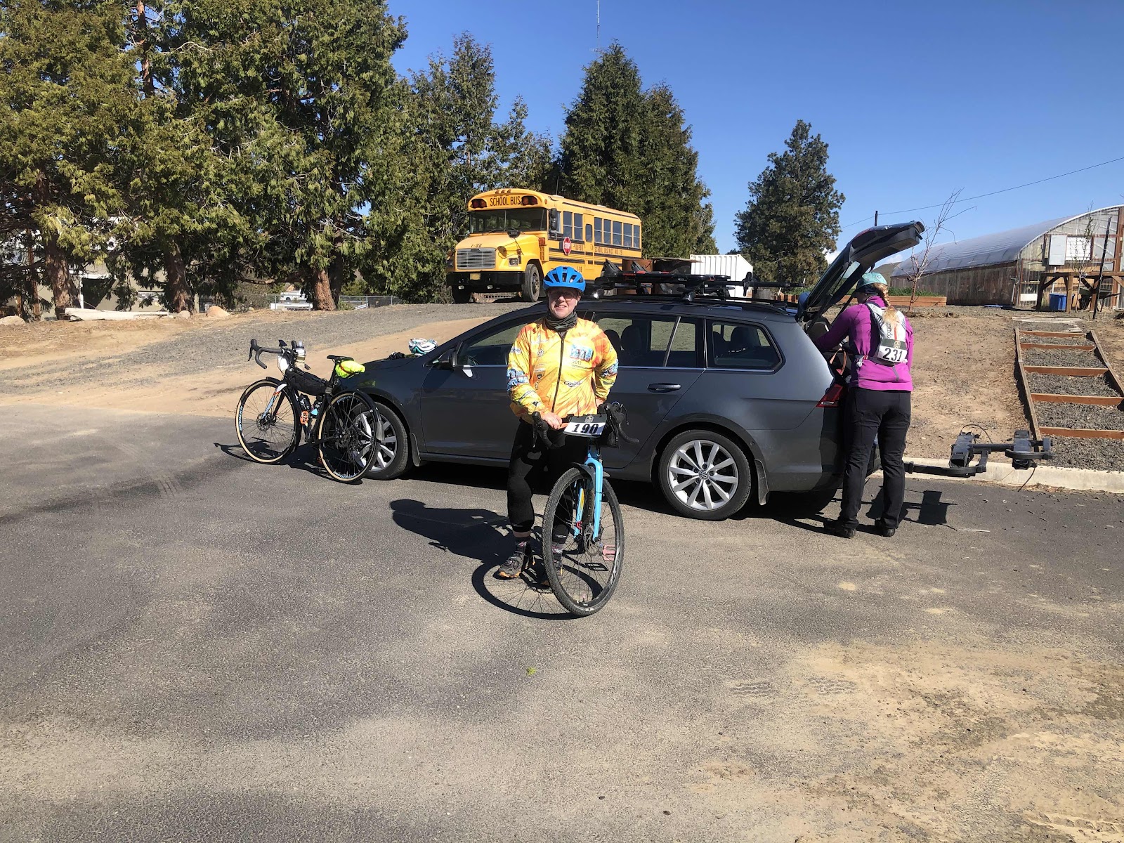
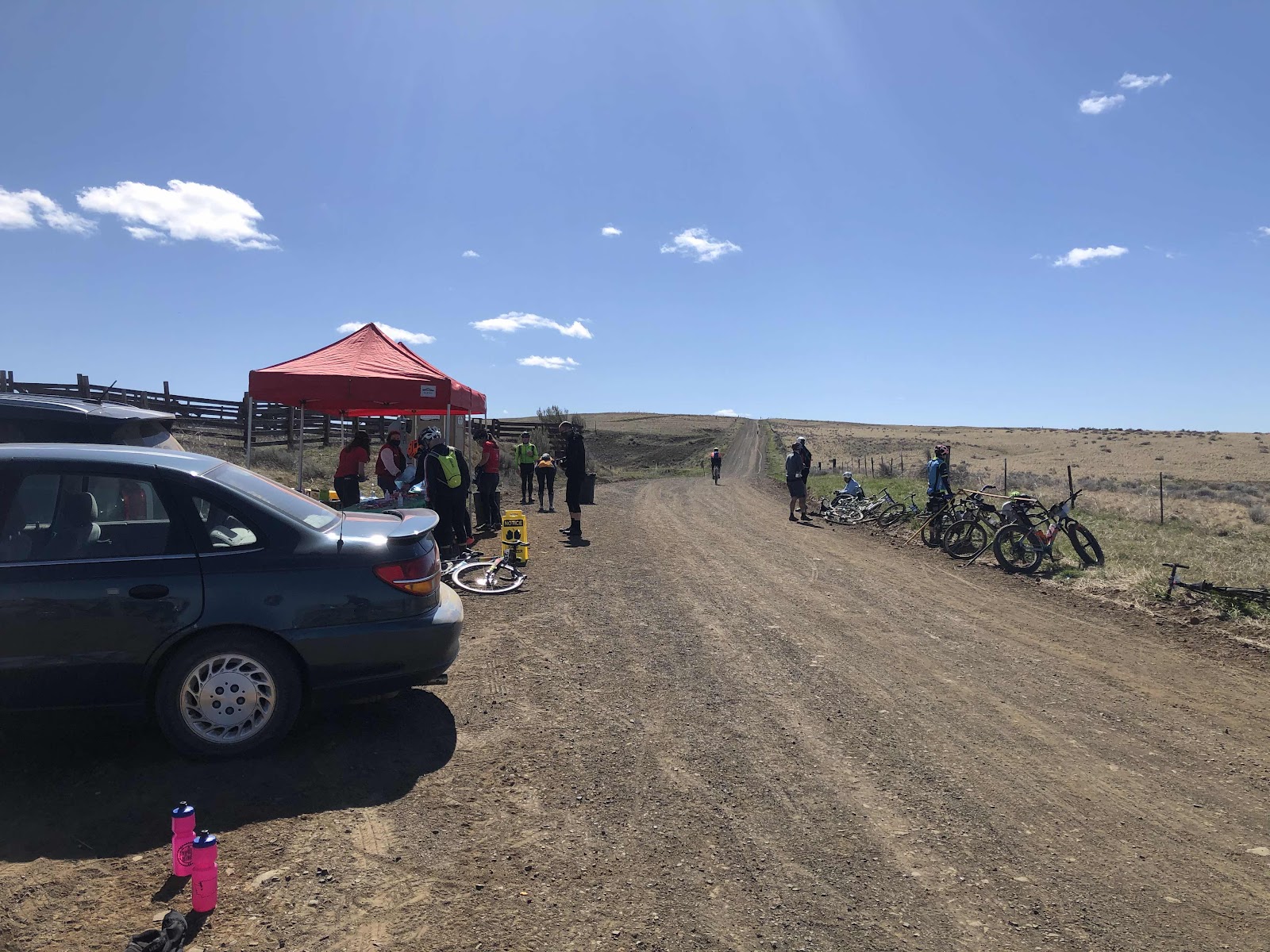
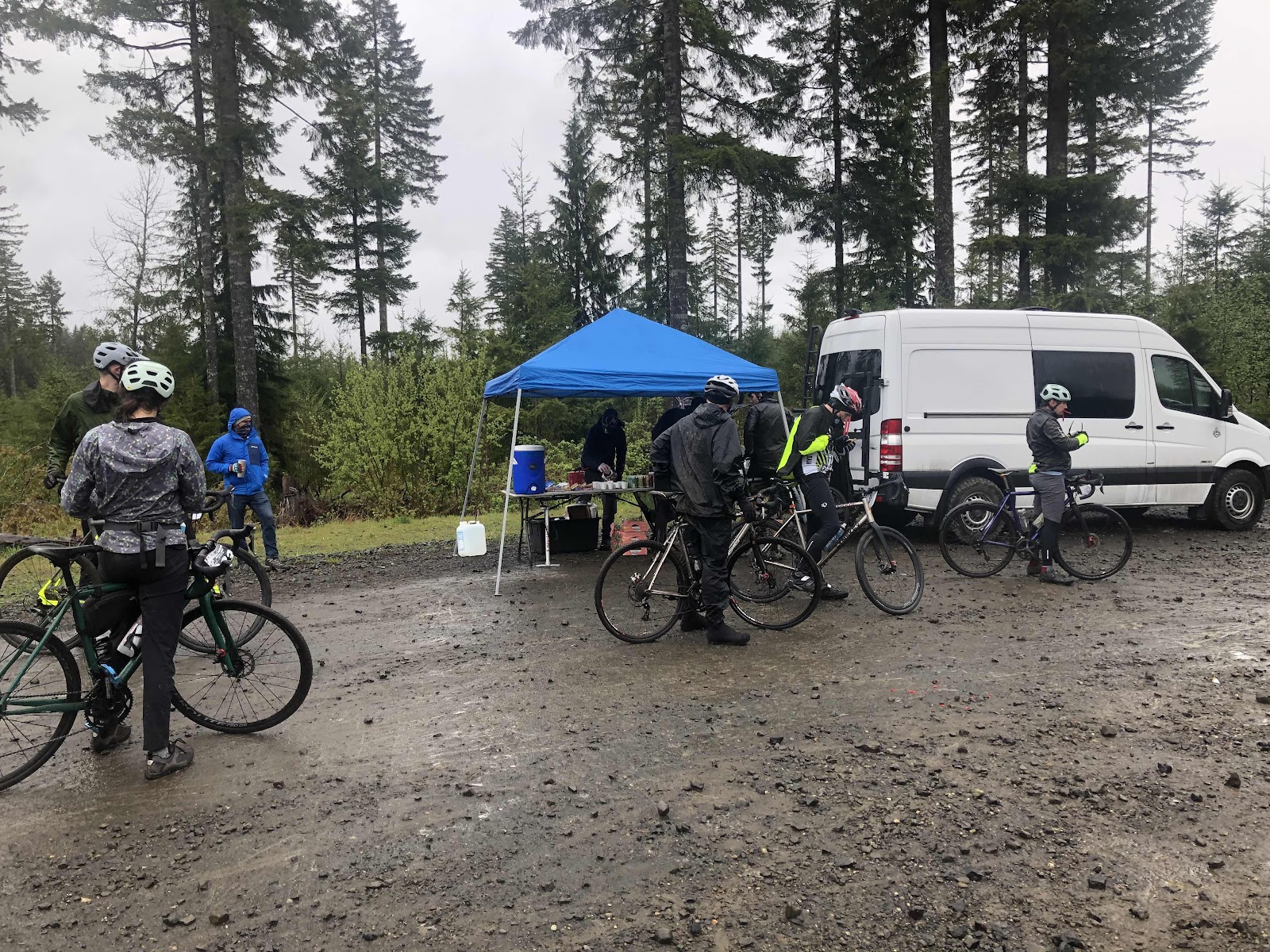
The plan had been, for those who wanted to do the 30 mile as a Gravel Ramble Ride, to meet at the start, ready to roll, at 8:30. Bethany and I had picked up our packets last night. Bebeth was there pretty early, so was ready to go at 8:30. A few others had not been able to get their packets last night (out of town and working). Unfortunately, we couldn’t pick up anyone else’s packet because waivers had to be signed. The line for packet pickup today was fairly long. At 8:40, Bebeth, Bethany, and I headed out onto the trail. 

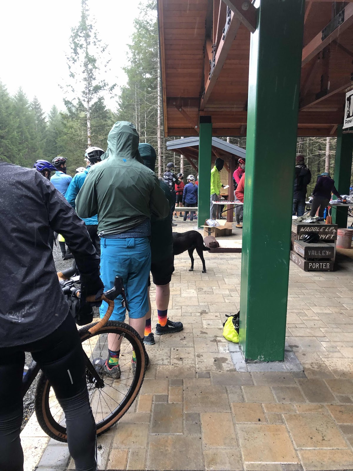
Those who were waiting in line to get their number and timing chip. 


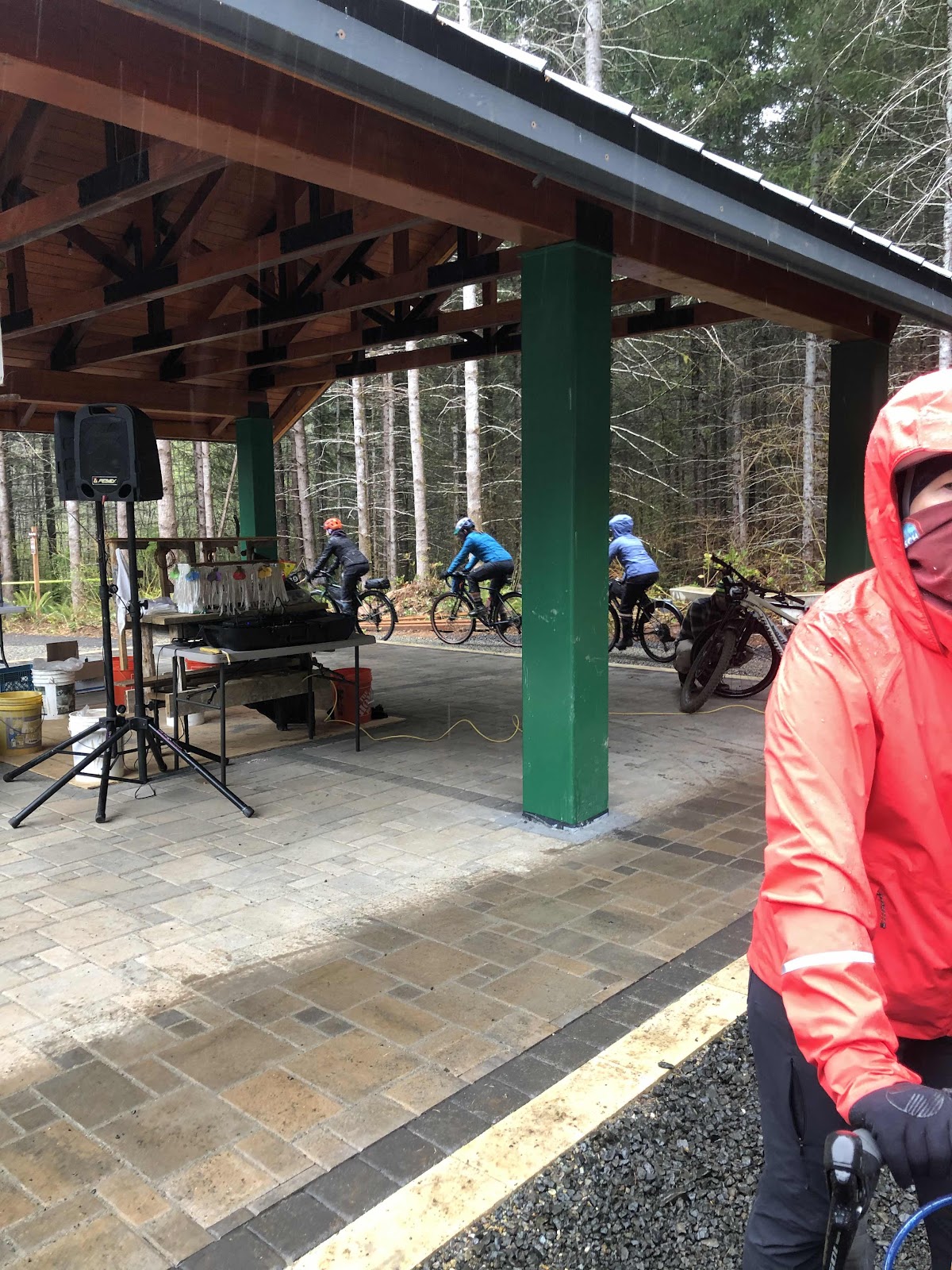
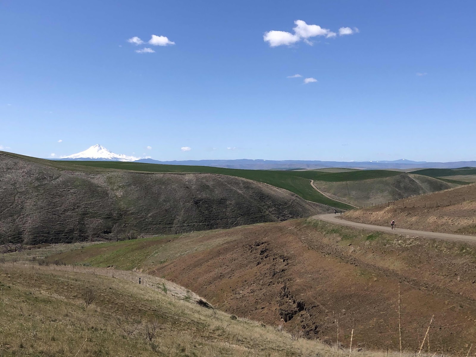
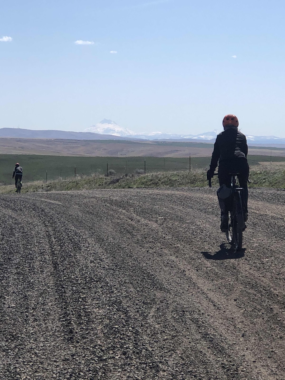
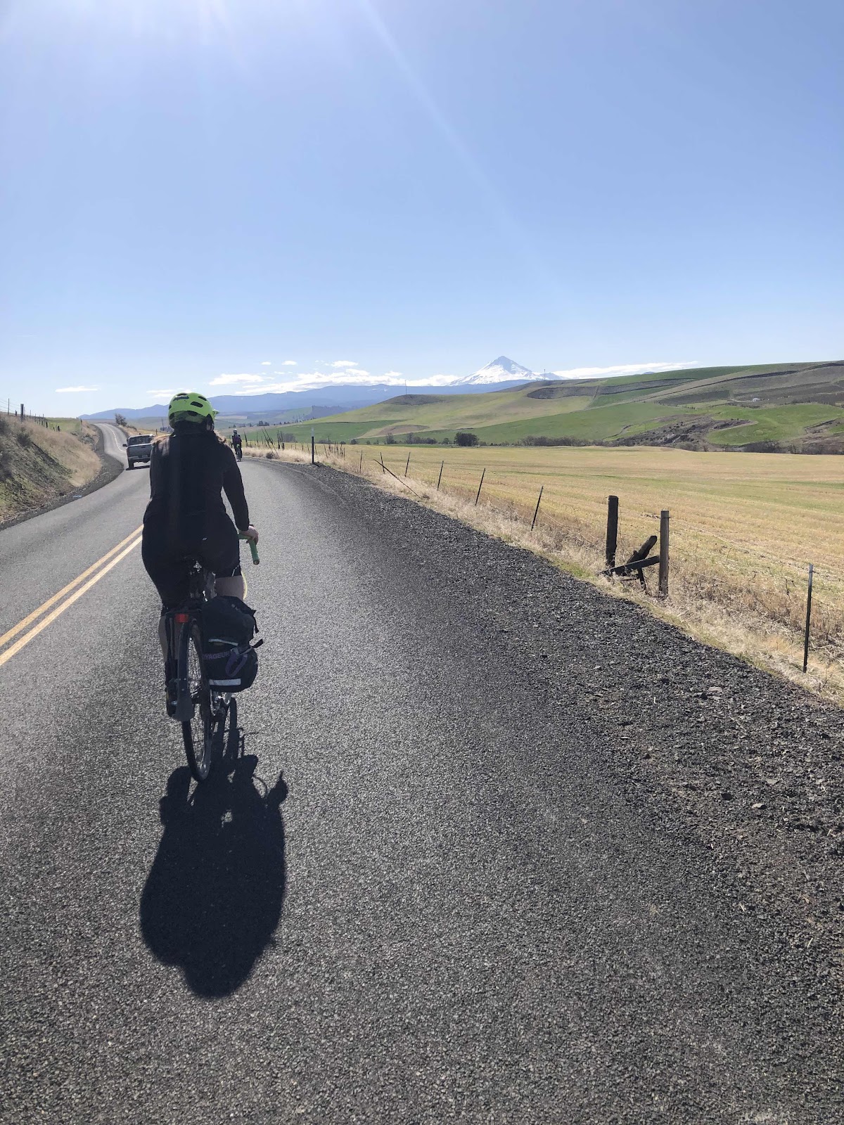
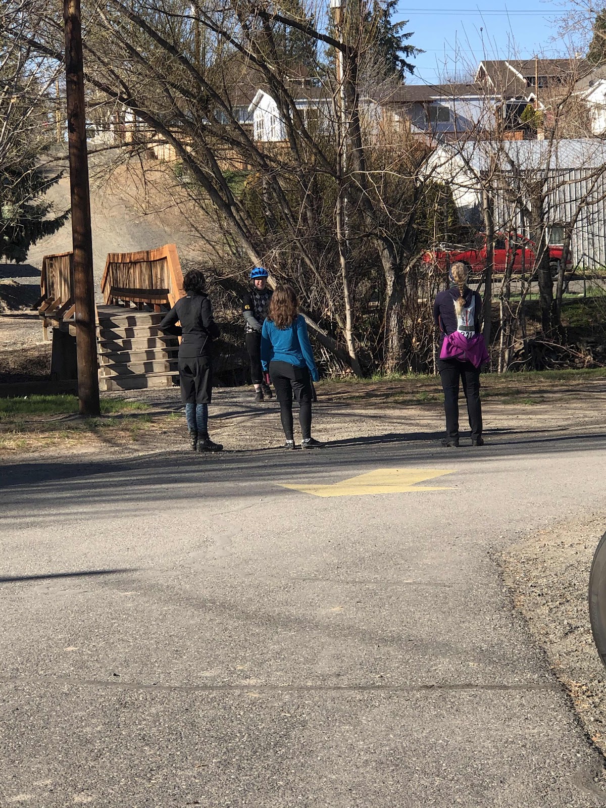
Stephanie, Erin, and Katie heading out for the 50 mile course. 

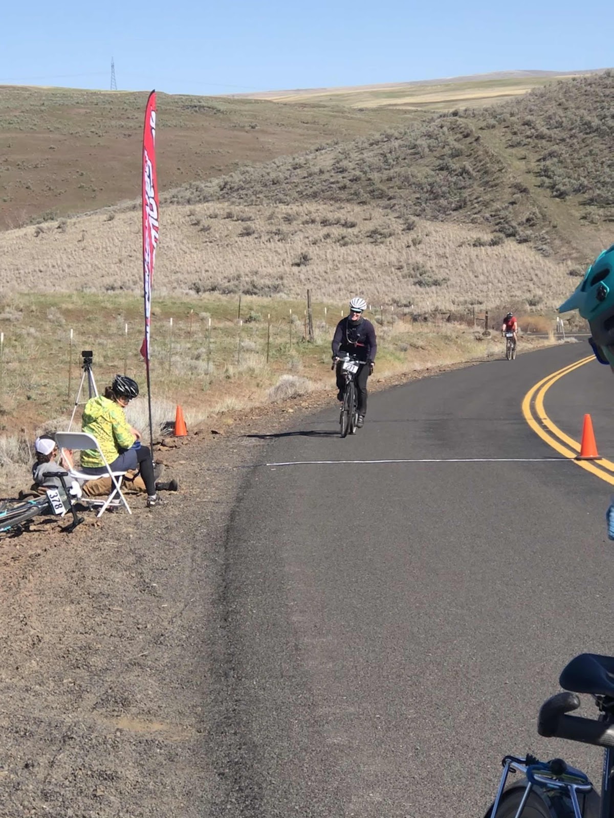
The singletrack part, while not my favorite was doable. Once we were to the road (C5000), but not to the “start”, I saw a black box on the side at the bottom of the hill. The race organizer (Cam) said the official start would be at the C-Line. Turns out, it was at the bottom of the 700 foot climb to the C-Line. For us, that made no difference as we were not racing, but for those who were racing, it was a bit of a dirty trick. Some of the racers were stopping at the C-Line, only to find out their race timing had started! 

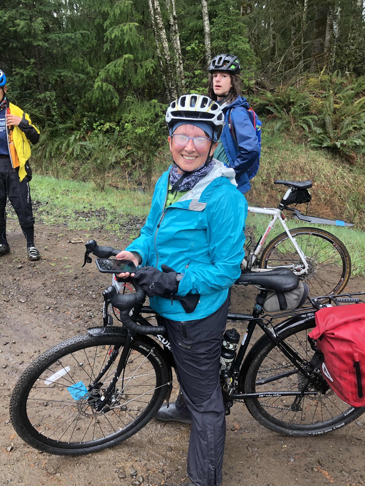
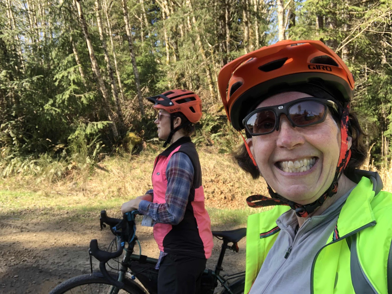
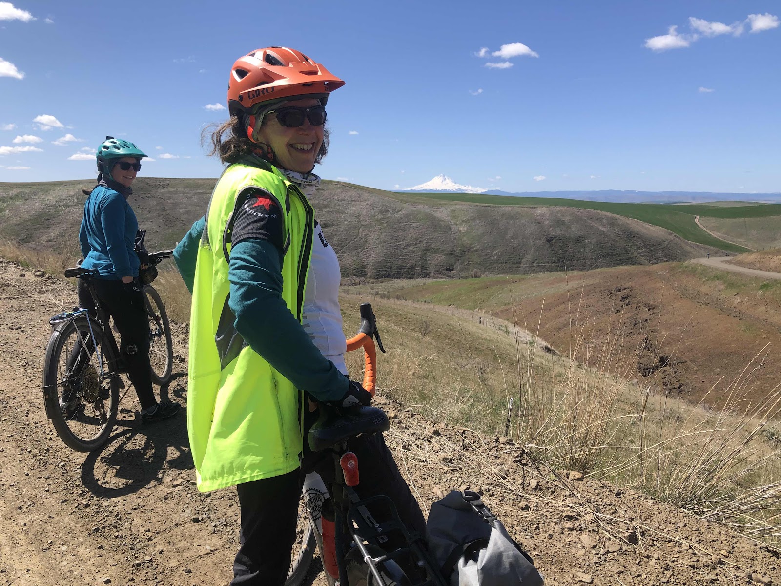
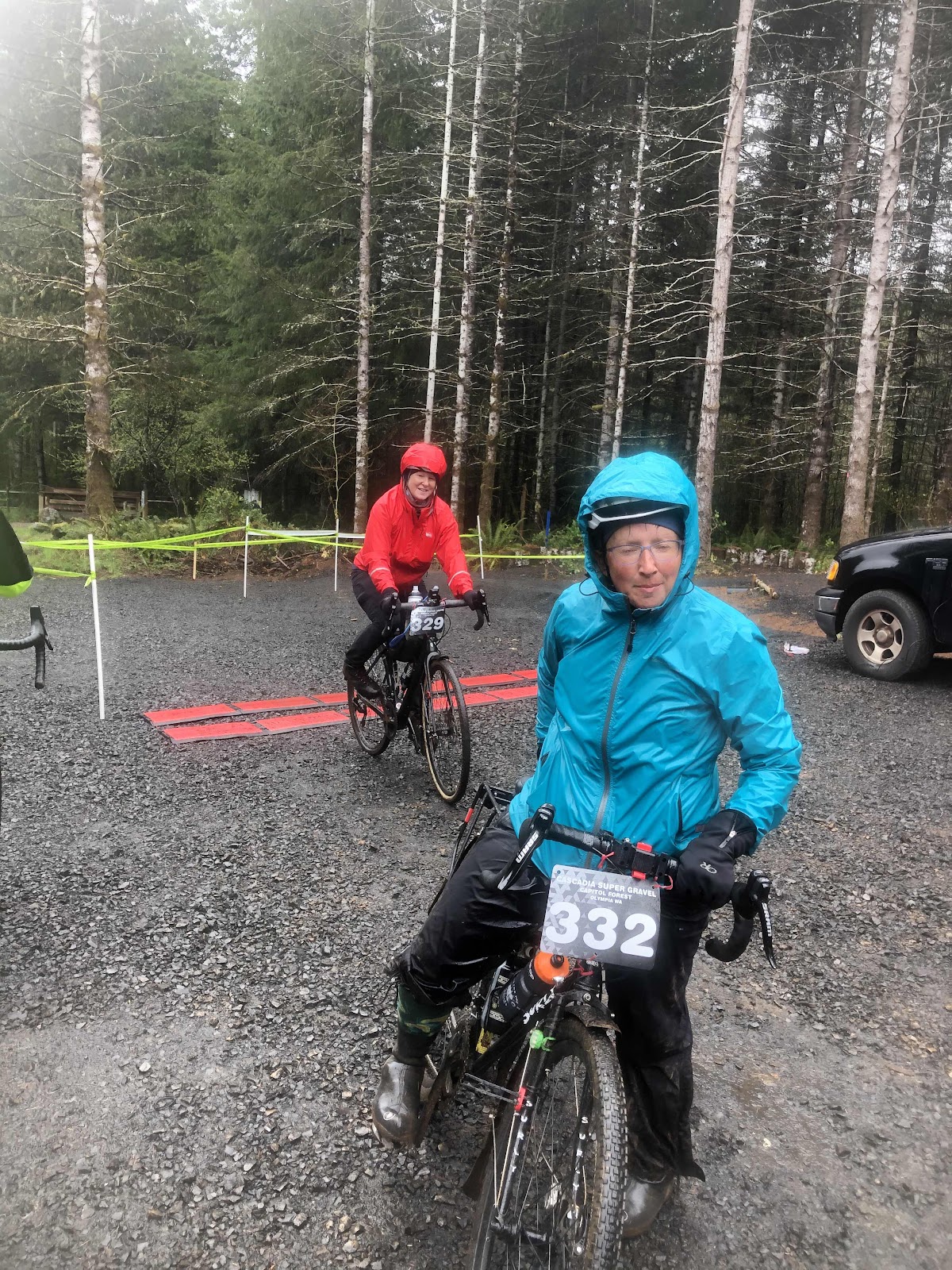
Bebeth, and the ever present issue of fogged up glasses!

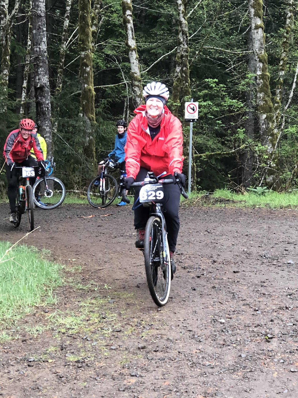
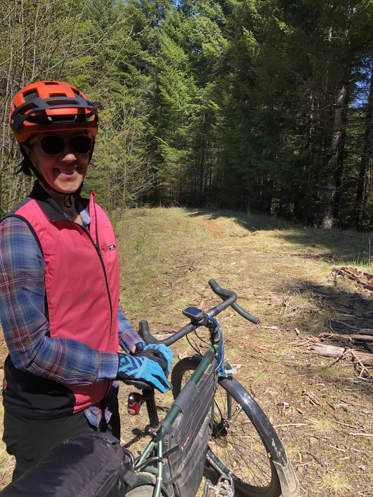
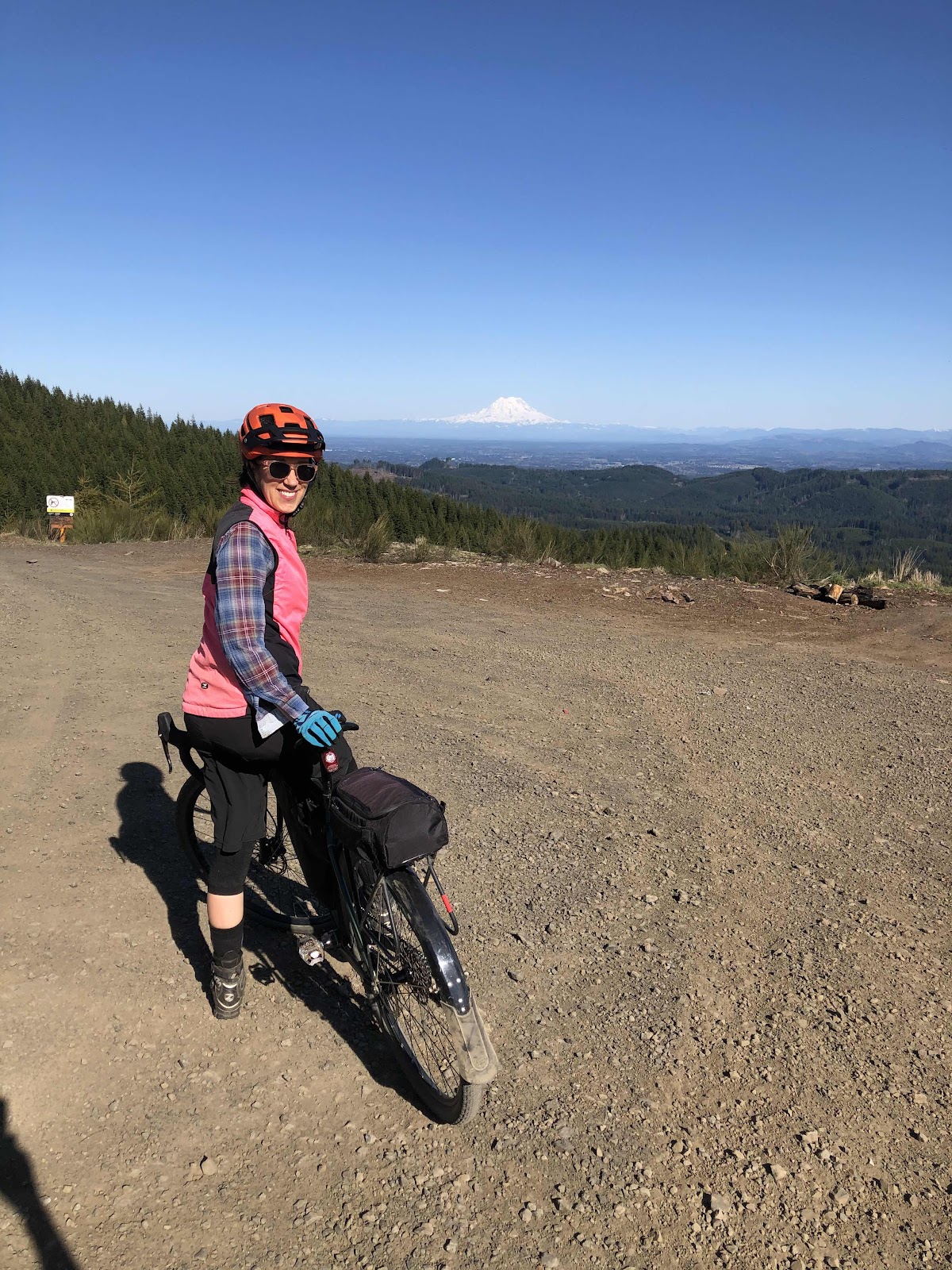
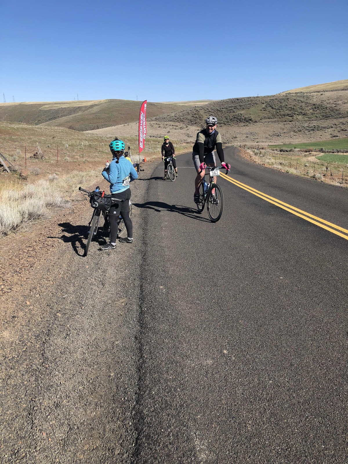
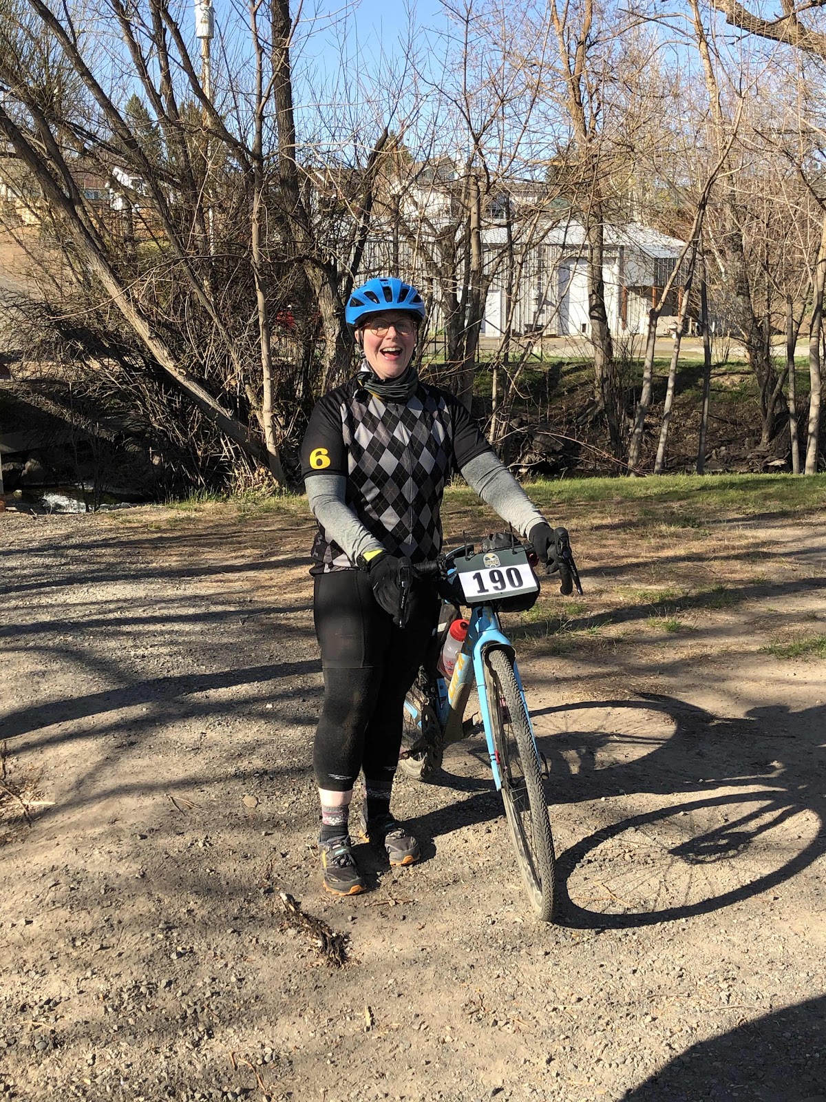
Bethany reaching the “start”. Still smiling!

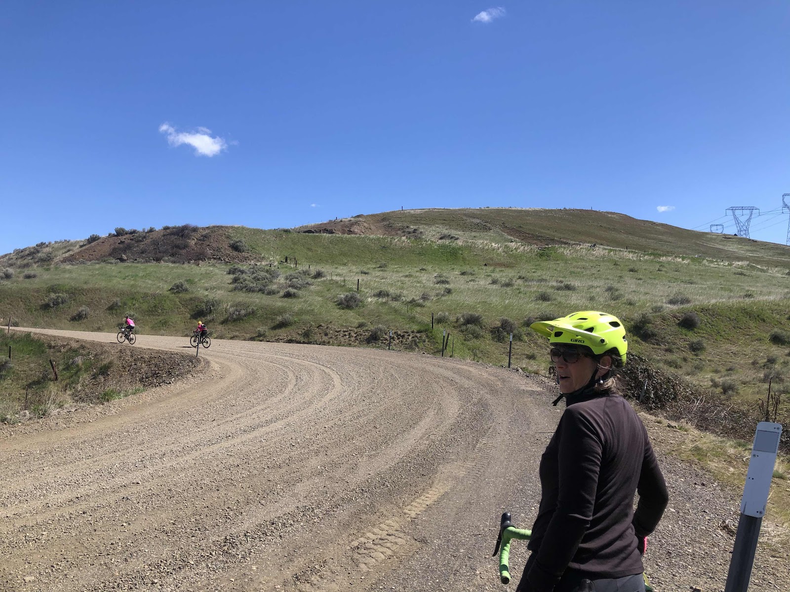
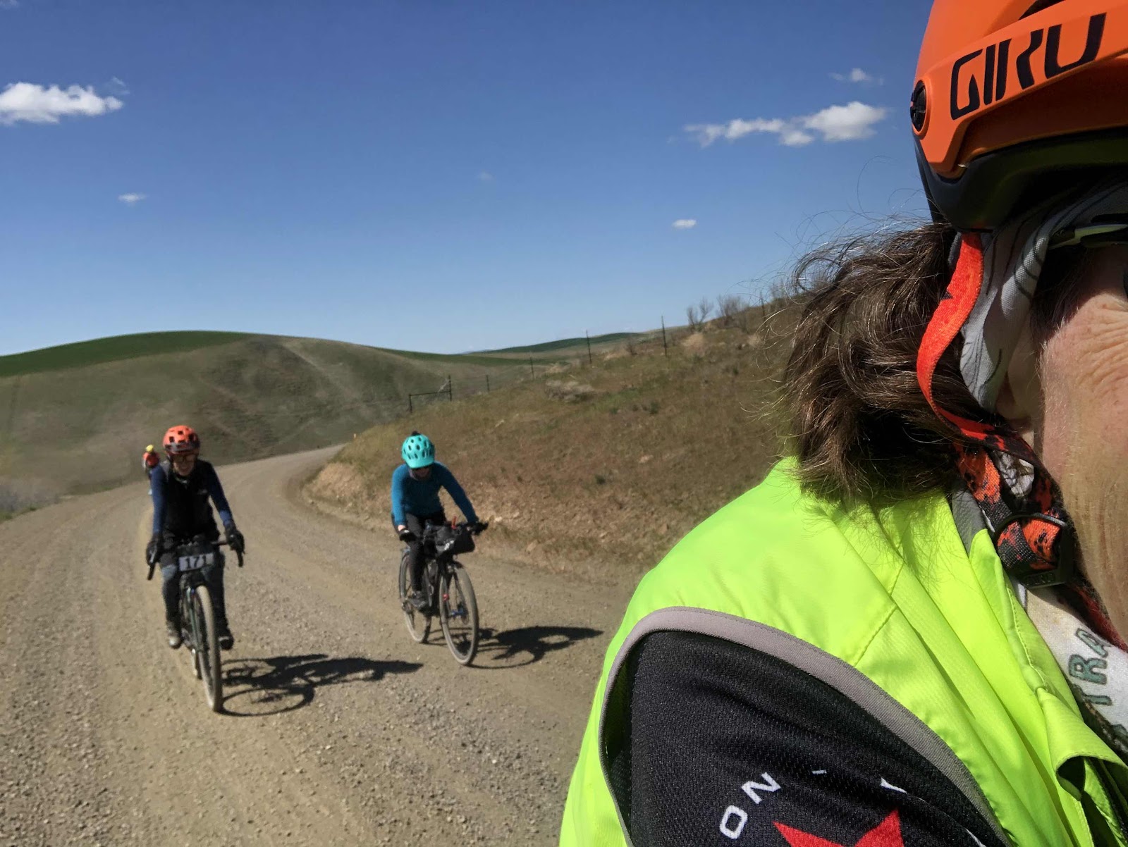
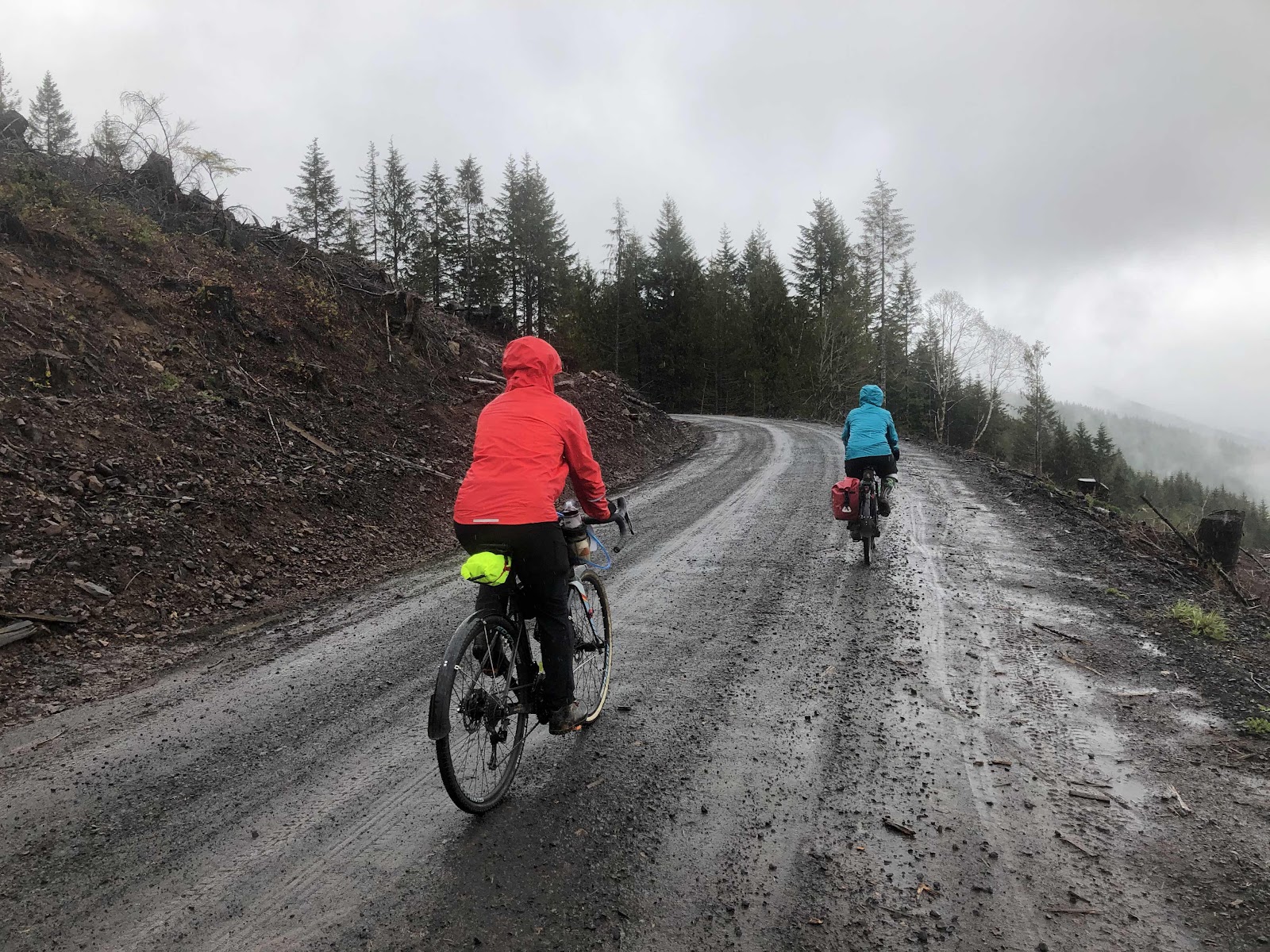
The C-Line was much better with the rain keeping the dust down, and making it more grippy. We regrouped at the turn onto D4000.

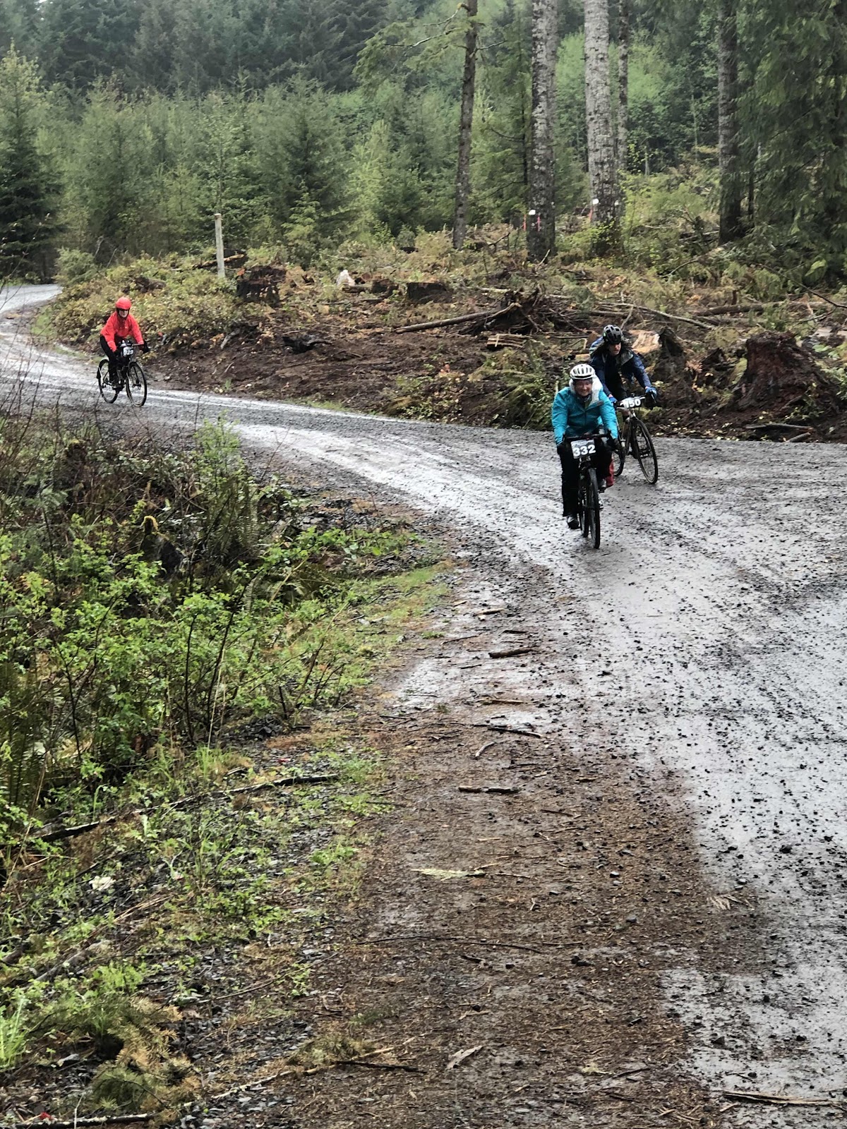
Bebeth and Bethany making the turn. 

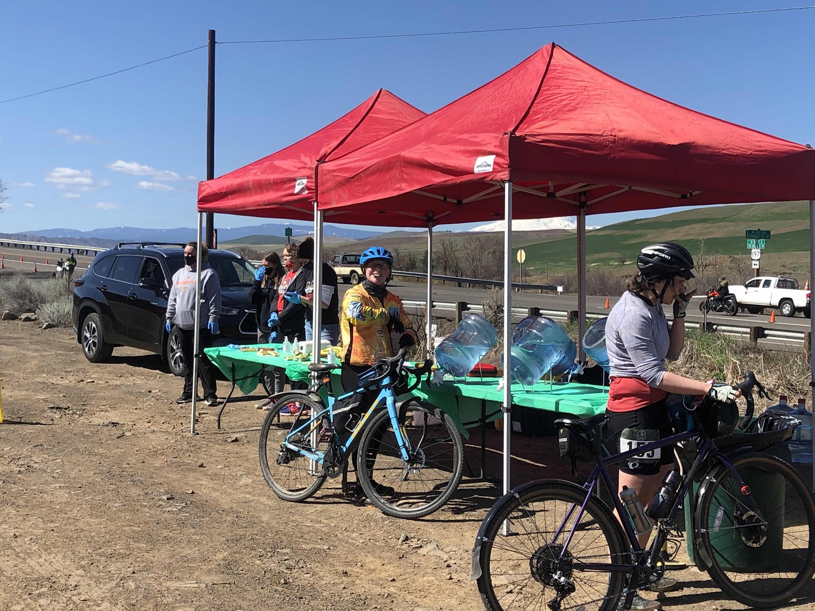
Our first aid station came at just 8.7 miles in. They had cookies, trail mix, red licorice, and...beer (no worries, it was non-alcoholic).

Aid station #1 (we had 3)

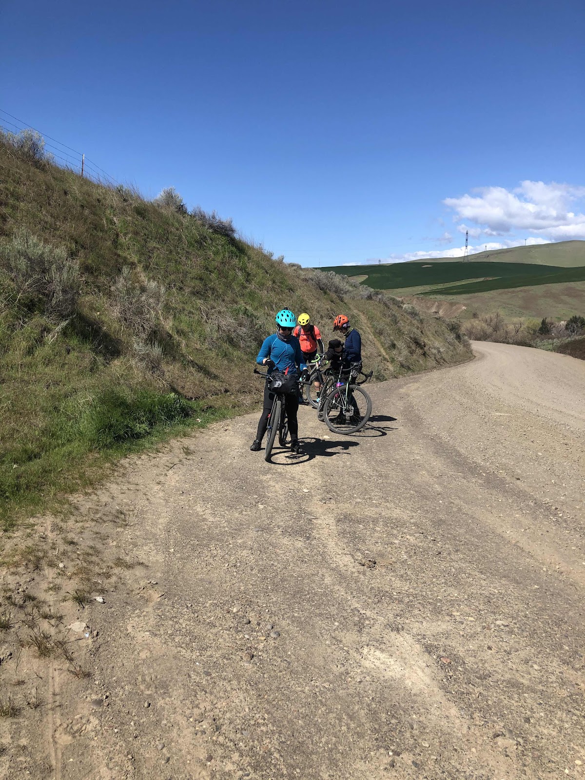
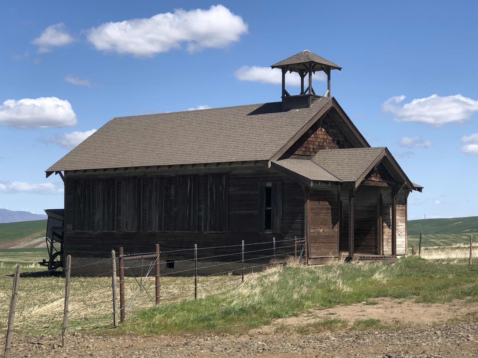
Bethany thought we would stay on D4000 to the D-Line (that would have popped us out at the top of the D-Line) but...no, of course not! That would be too easy! First we had to go all the way down (and up and down and up and down) to Bordeaux via E9000 (and various other “E” roads). 

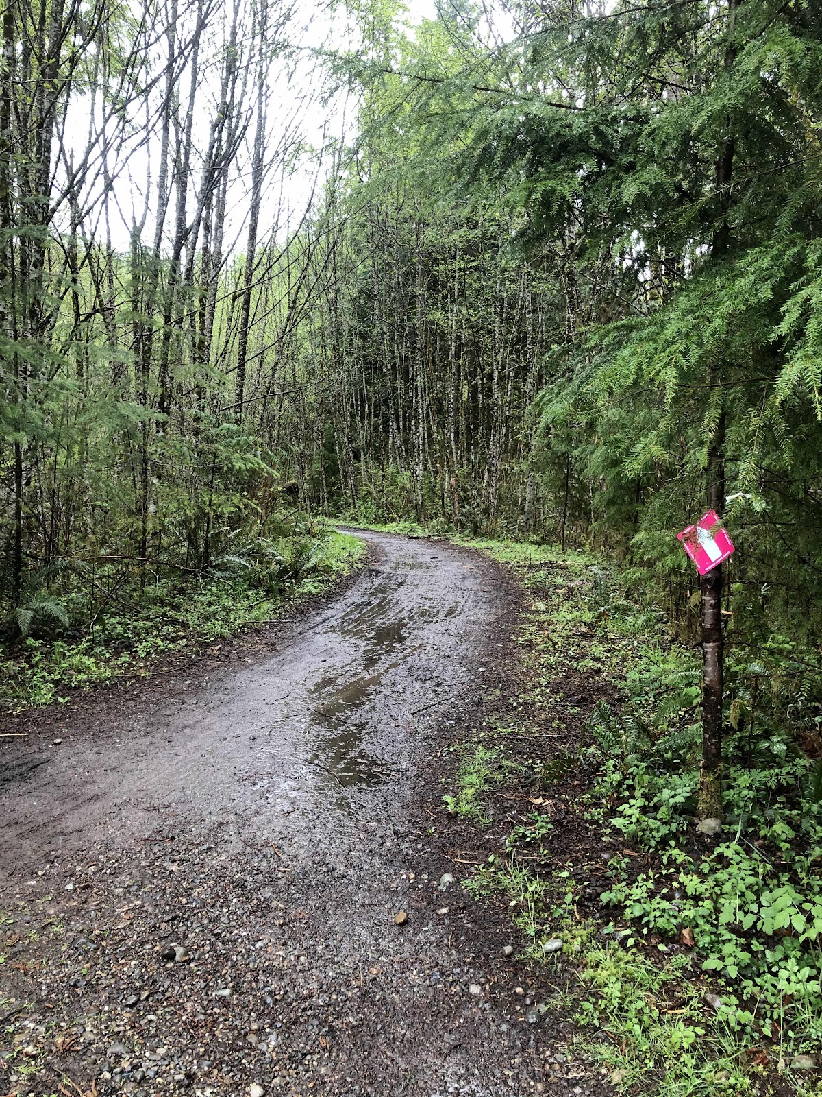
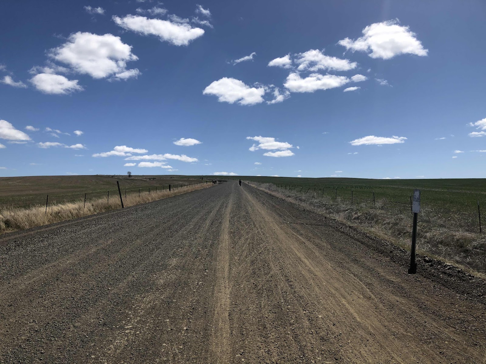
Including this section of the McKinney Trail. See the pink arrow? The route was very well marked. 

Where E9000 came out to Bordeaux, we came to Aid Station #2. Here they had peanut M&Ms, apricots, dried chili mango, and...no beer. 

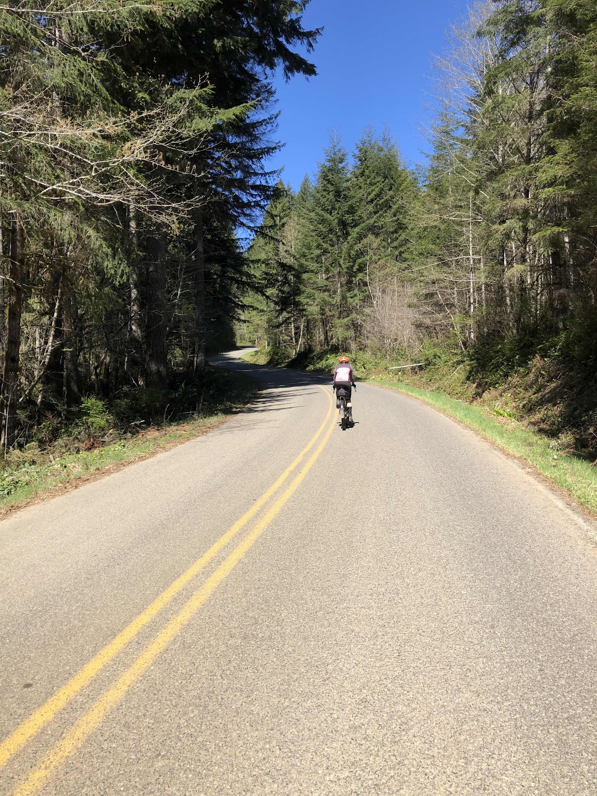
Next up (literally) was the climb up the D-Line. At least it’s paved, but it’s still pretty steep. We regrouped again at the top before descending down to the beginning of D3000. This up only to go down, and then up again (and down...you get it), was something Stephanie and I thought was really good thing about the route...when we rode it in nice sunny weather. In the rain, it’s more like...turn your rain jacket into a sauna as you are climbing, then do a polar bear plunge as you come down. 

Soon enough, we reached the dreaded singletrack hike-a-bike section. The trail was very muddy this time. My brand new pair of gaiters were covered in mud by the time we came through. Also had to sit and dig the mud out of my cleats so I could clip in to my pedals. 

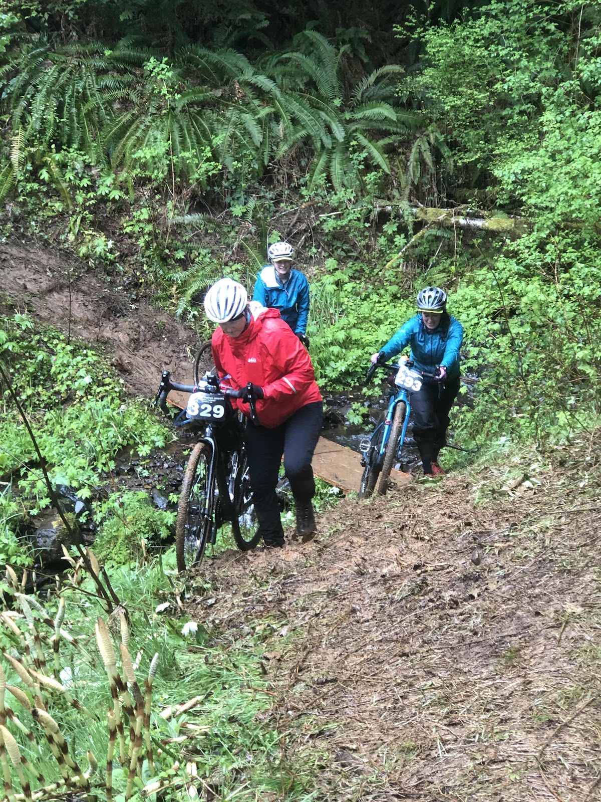
See those “stairs” in the background on the other side of the creek? They were very slippery!

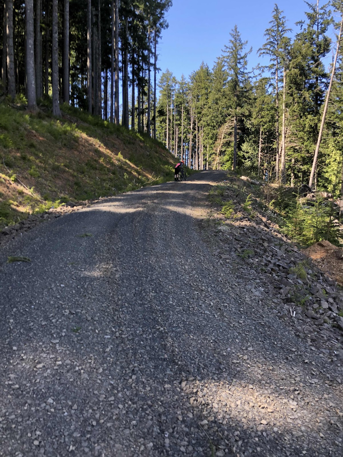
Going up the now christened “Hill of Tears” (okay, I don’t think there were actually any tears shed), I was able to ride further than I had before because the rain had helped make the road easier (until it wasn’t). Still walked probably a good 1/2 mile. At the top, I waited for Bebeth and Bethany. Bebeth arrived, but by then I was starting to get cold. I rode on. We met up again at the final Aid Station, where they had the same stuff, and...lots of beer (still non-alcoholic). I really wish I liked beer. 

After putting my Shake-Dry jacket on under my rain jacket, and changing into dry gloves (note to self: it’s easier to put new gloves on if you first dry your hands over the fire), annnd standing by the fire for awhile, we headed out for the final push to the finish. 1 1/2 more miles of easy climbing, then downhill all the way to Fall Creek. Crossed the finish line to cowbells and cheering from Katie and Erin (and others).

Let’s git ‘er done!


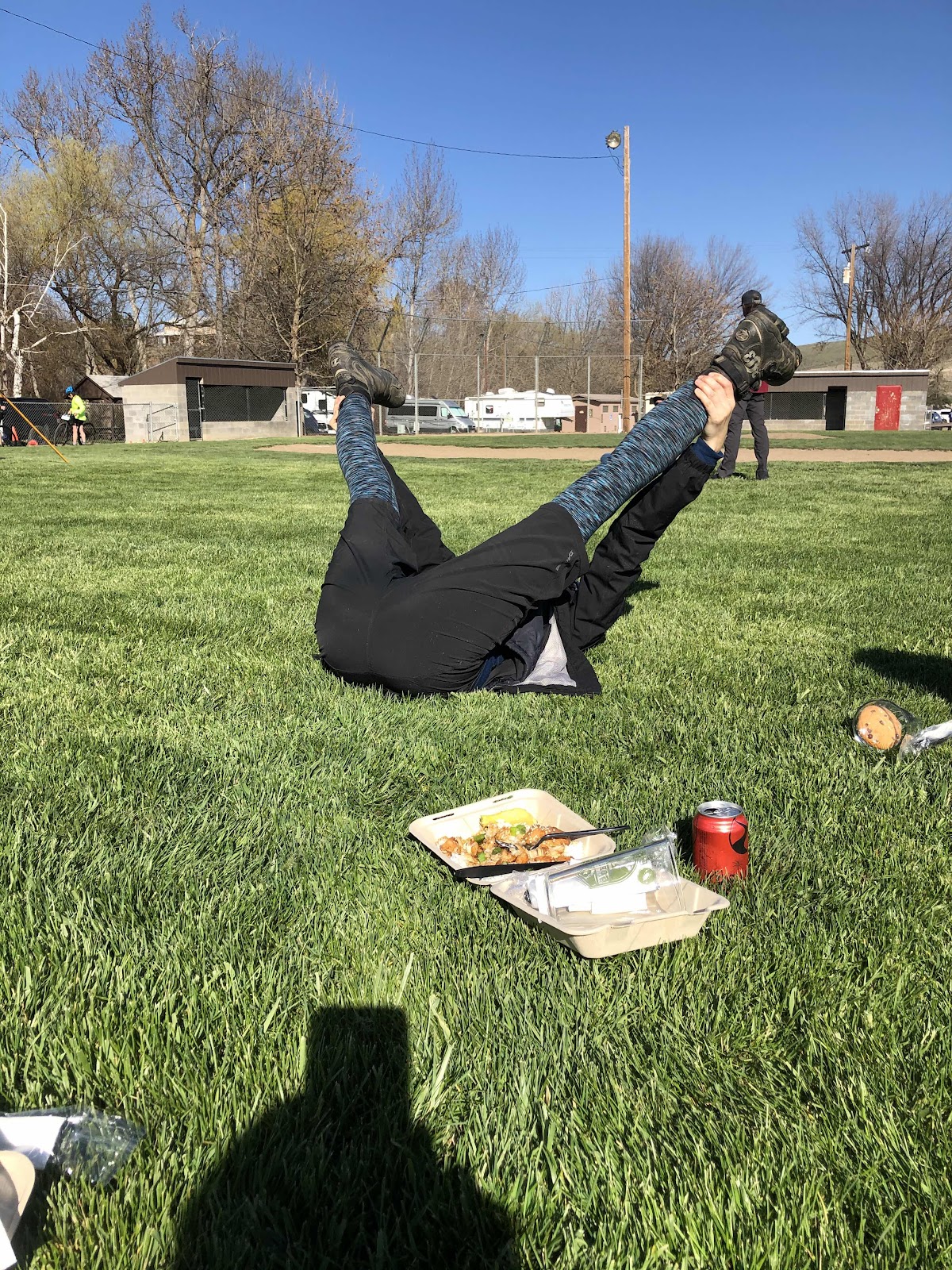
Glad to be finished!

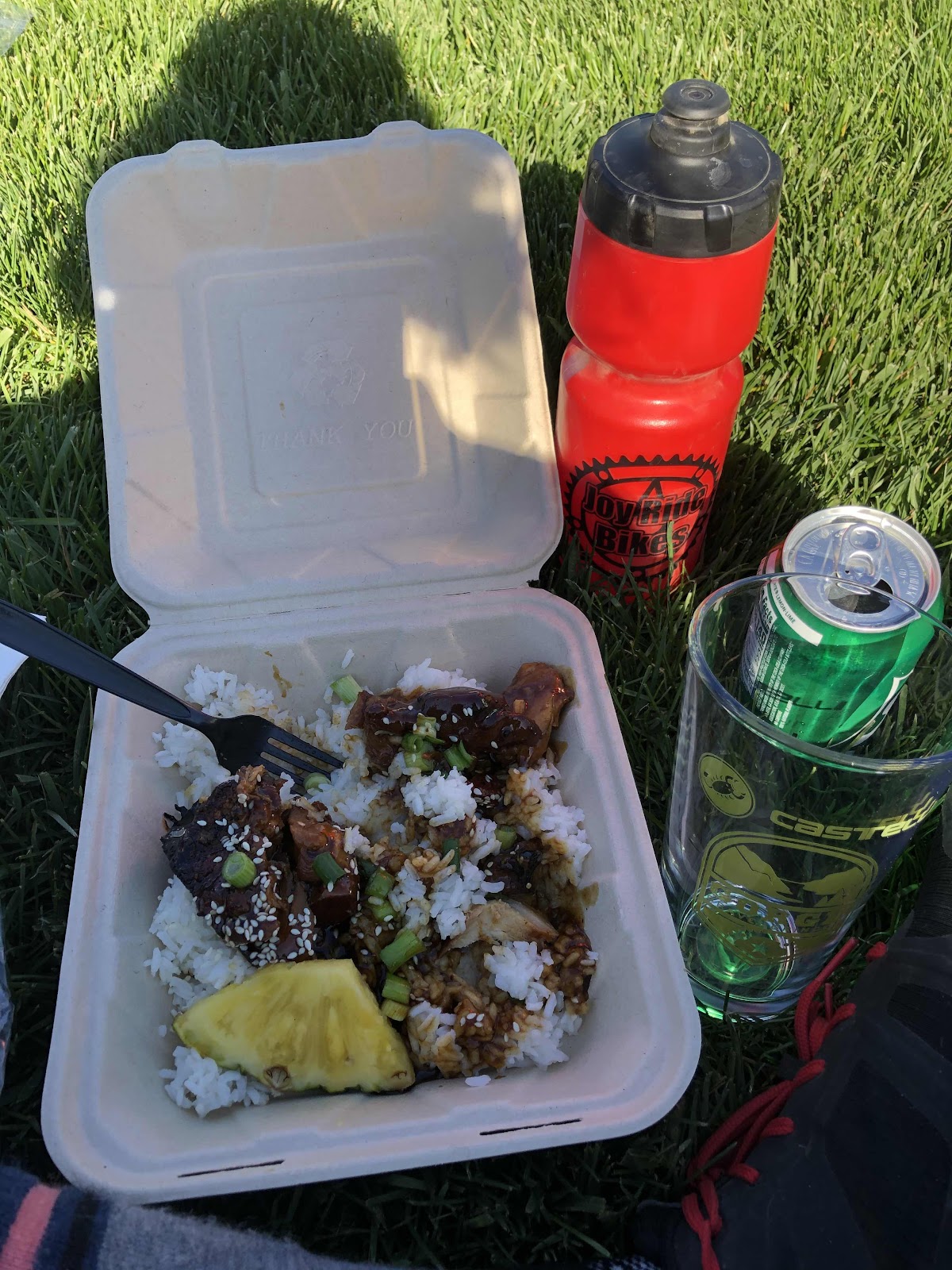
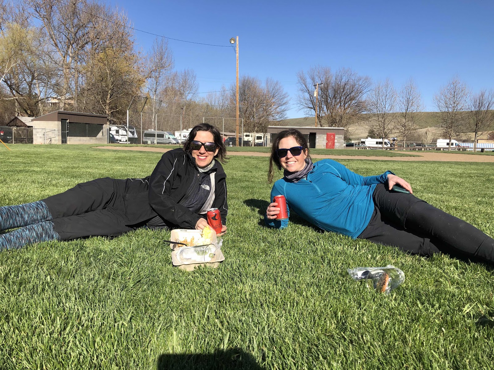
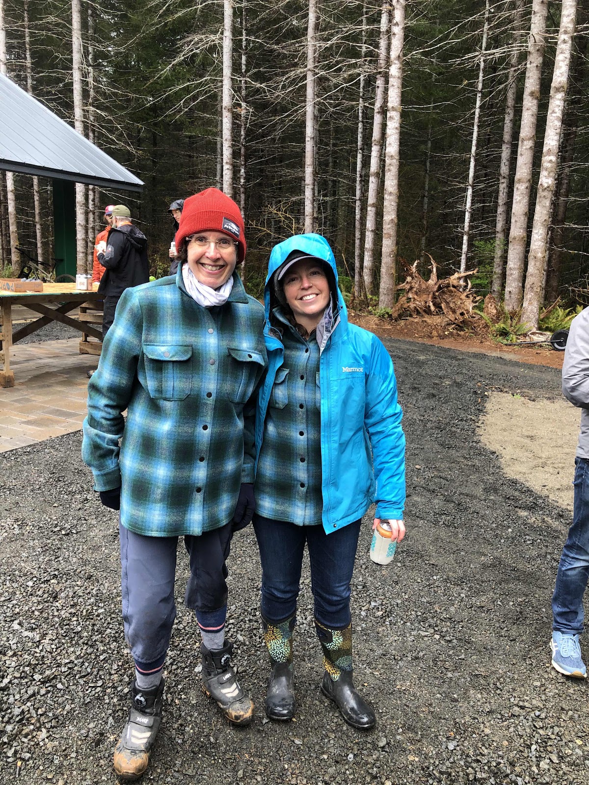
Unfortunately, they had run out of pizza (more was coming, but it would have been an hour). Of course, they had tons of NA beer. We got out of some of our wet stuff, and stood by the big fire. Erin took this photo of Katie and I in our matching Smartwool Plaid jackets. 

Look how muddy the toes of my boots are, even though I was wearing gaiters that cover the toes!

While the weather wasn’t the best, it was still a good ride (although I really have no desire to do that hike-a-bike section ever again). It’s pretty awesome that we get to have a race/ride like this in our backyard. Good job to Cam for creating such butt-kicker routes, and thanks to Bethany for making it possible for me to go (ie giving me a ride). We all did a great job!


Thursday, April 15, 2021

An Epic Ride That Deserves a Blog Post

On Thursdays, I usually do a long road ride but, when Stephanie asked if I wanted to ride the Cascadia Super G 50 mile course (the actual race is April 24th), I thought, hmmm...long road ride by myself, or 50 miles of gravel with Steph. Didn’t even have to think twice. Definitely, 50 miles of gravel with Steph! Have I ever done a 50 mile gravel ride in Capital Forest? No...no I have not. However, since we just came off of the Gorge Gravel Grinder 52 miler last Sunday, I was feeling pretty confident (even though the GGG was nowhere near the same elevation).

Steph was even kind enough to pick me up at my house this morning, to spare me the extra 5 miles to her house. We decided we would go to the official meeting place at Fall Creek (we could have just parked where the race course begins, and saved ourselves 700 feet of climbing and 2.6 miles-actually 5.2 miles total). I was interested in riding the section to the beginning as it is part singletrack (Wedekind Trail). We also figured Fall Creek was a better place to park. 

We headed up the trail. The singletrack was doable. There was a little connector that took us to a road, that then took us to the C-Line, and the official start of the timed portion of the race. 

NOW...we are at the start. Notice, sleeves have already come off. 

The start of the route was downhill to D4000, then down D4630, and eventually to E9000, and the pavement of Bordeaux. It was pavement up the D-Line, and down to D3000.

The grade up the D-Line actually reaches 16% (according to my Garmin).

The climb up D3000 was nothing new, until...it was...something new. Steph had heard from Erin that there was a creek crossing. What??? But, to get to the creek crossing, we first had to do some hike-a-bike. 

Creek crossing...#1. At least Cam put some boards across. 

It seems like one could ride this...nope. 

Creek crossing #2...yes, there were 2 creek crossings!

Erin had told Steph the climb out of the creeks was a steep one. She wasn’t kidding. We were able to ride some, but ended up pushing the bikes again for about 3/4ths of a mile. 

Hmmm...kinda steep!

Looking back from where we walked. 

And still walking...

Finally got to where we could ride again. We were still climbing, but at least we were riding. We stopped and took a break shortly before getting back to the C-Line (but much closer to the Hwy 12 side). We stretched and ate. 

The next part was the C-Line to C1000. This was where we left the 30 mile route (which I will be doing the day of the race/ride). On a side note, I’m pretty sure the 30 mile route will not be doing the hike-a-bike part...I hope...

C1000 took us to the B-Line, and Porter Creek Campground.  I was running low on water, we stopped at the campground and filtered water, drank a bunch, and filtered more. We still had the climb up B1000 (it also topped out at 16%...although, much more difficult than the paved D-Line due to the loose and chunky rocks).

Once we got to C4000, we could almost taste the finish. Oh, and it was mostly downhill. 

Just before this, Steph said, “It wasn’t that long ago that there was snow here.” Turns out, there’s STILL snow there!

I nice view of the Olympicsfrom C4000.

All three peaks (Rainier, Adams, and St. Helens) out today in all their glory!

Still smiling (or is she smiling because we only have downhill to go???)!

Total miles was about 53. Our ride time was 6 hours. While we both felt pretty good at the end, we both decided we wouldn’t really want to climb anymore hills!!! It was a great day!!!


Sunday, April 11, 2021

A Whole Different Experience This Time Around!

Two years ago, Bethany, Stephanie, and I did the Gorge Gravel Grinder. The weather was absolutely horrid. There was so much mud, we renamed the ride the Gorge Mud Slider. One would think we would never do that ride again. Of course, we did. Today’s Gorge Gravel Grinder was a whole different experience. 

This time, there were 6 of us. Bethany, Stephanie and I added Polly, Jana, and Katie to our posse. The ride started in Dufur, about 12 miles or so south of The Dalles. We stayed at The Dalles Inn. Our group was to depart from the city park in Dufur at 10:40. We arrived just in time, and only had to wait about 10 minutes. Oddly, my front tire was flat this morning. I aired it up, and had no further issues throughout the ride)

The weather this year was forecasted to be sunny and in the mid 50s. We were all prepared for whatever could happen with the weather. I had 4 pairs of different weight gloves! But, this time the forecast was spot on! It was a fantastic day. Even the wind didn’t become a factor (and wind is often an issue for this ride).

We were all doing the “Small Grind”. It was 52 miles with about 4500 feet of elevation. Unlike what we are used to in Capital Forest, the climbs, though they be long at times, were not into double digits. And the gravel was actually gravel (as opposed to dirt with some rocks). 

Polly and Bethany getting ready to roll down to the park.

While we started rolling from the park, the actual timing started about 3 1/2 miles into the route (yes, this was a race, but we weren’t really racing). 

Waiting to start the “official” start. 

Masks were required while waiting to start, and at the aid stations. Here, Katie and I are complying with the rules. 

The first aid station was less than 10 miles in. Still, we stopped and had snacks (we paid for this ride, we might as well get our money’s worth).

Polly getting some snacks

Of the 52 miles, 39 miles was gravel, and the rest was paved backroads. We started with a nice climb, then descent on gravel, then popped out to pavement. Steph, Katie, and I had a good pace line going on some of the paved sections. We even picked up a guy named Terry from Hailey, Idaho. He was a good guy, taking pulls along with the three of us. 

Once we returned to the gravel, we stopped the pace line. Besides, we were climbing anyway. 

Some climbing ahead. We were going up to the road up high. 

Shedding jackets before the climb. 

And they’re off!

Katie, Steph, and I stayed together most of the time. They would fly down the hills faster than me, then I would catch up to them on the climbs. We were rewarded on the climbs with multiple views of several of the Cascade volcanoes. Mt. Hood was in view the most, but also Mt. Adams. 

Mt. Hood

Katie and I...and Mt Hood. 

Steph and Katie. 

We came to where I had taken my last photo two years ago...the old schoolhouse. Of course, another photo was required with blue sky!


Schoolhouse and Mt. Adams

After the schoolhouse, we had a nice descent, but then began the longest climb of the day. It was several miles, but the views were spectacular. 

Long uphill on a wide gravel road. 

A two-fer!

One of my favorite photos of the day. 

We finally reached the second (and final) aid station. It was at the bottom of a steeper section of the long climb. 


Katie enjoying some snacks (they had bite sized candy bars!)

As we climbed after the aid station, we could actually see Mt. Jefferson, Mt. Thielson, Mt. Hood, Mt. Adams, Mt. St. Helens, and even the tip of Mt. Rainier all in one panoramic view! It was pretty incredible!

That’s St. Helens with Rainier to the right. 

Mt Jefferson and Thielson (and Steph).

We hit the highest point (but not the last of the climbing. 

The summit. 

As we continued along, we came to a coffee truck. This was also the point at which Bethany had bailed the previous time (frozen fingers and toes make it mighty difficult to ride in mud). 

Totally different this time!

We had a long long descent that went by in a hurry. Soon we were just 5km from the finished line. Steph, Katie, and I crossed together, followed shortly by Jana, then Bethany. 

Jana has finished!

Here comes Bethany!

All that was left was to ride the final three miles back to the park in Dufur. 

A final shot of Mt. Hood. 

Back at the park we got our food and pint glasses (and patch), and dined upon the grass. 

Teriyaki chicken and rice

Steph and Katie 

Steph doing some stretching. 

We kept watching for Polly to finish. She had texted Bethany saying she was almost done. We went over to cheer her as she came in. 


Well done, Polly!

Polly getting to eat her food. 

We all agreed that today’s ride was excellent. The Gorge Gravel Grinder has redeemed itself! Who knows...we might even try the Medium Grinder next year??? I mean...if some of us have this kind of energy after 52 miles...