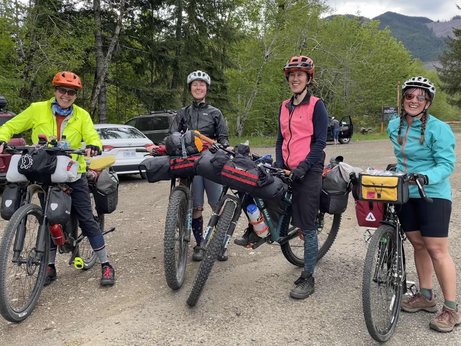
A couple of months ago, I did a gravel ride with Greg and Liz Howell up from the Vance Creek Bridge parking. We weren’t able to do the whole loop because we ran into snow. When I got home, I took that loop route, and added an out and back to Lake Wynoochee. The route was 70 miles and 8200 feet of elevation. I sent out a text to the Bikepacking Dream Team proposing we do this over 2 1/2 days/2 nights. I was amazed at the quick response! Everyone was interested. In the end, we ended up with 8 of us, me, Makaela, Stephanie, Catherine, Jana, Erin, Katie, and Bebeth. Since I was leaving for Minneapolis Memorial Day weekend, we set a date for the weekend before.
Day 1-The Half Day
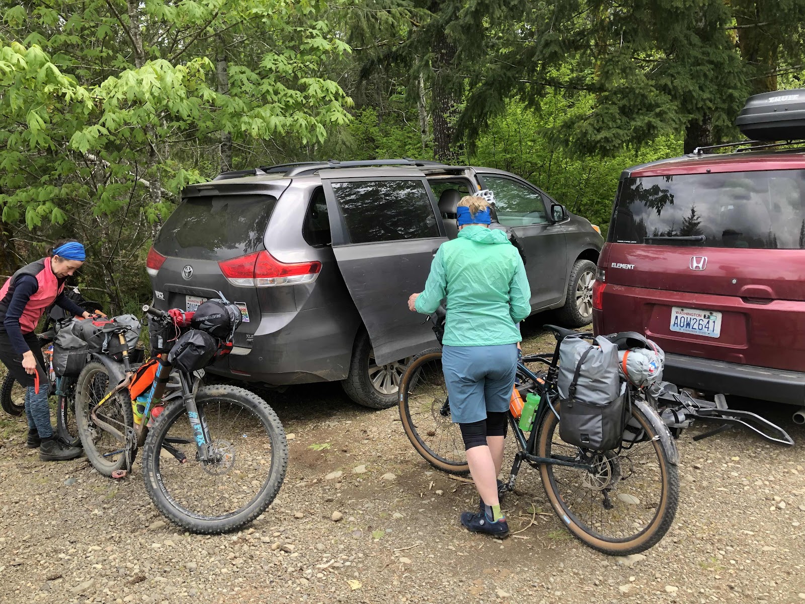
We managed to combine ourselves into 4 vehicles. Bebeth had opted to drive herself (she lives in Seattle). We gathered at Catherine’s house, and caravaned to the beginning of the route at the Vance Creek Bridge Trailhead. We left town around 1:30.
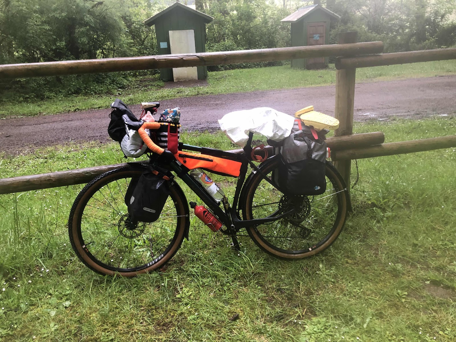
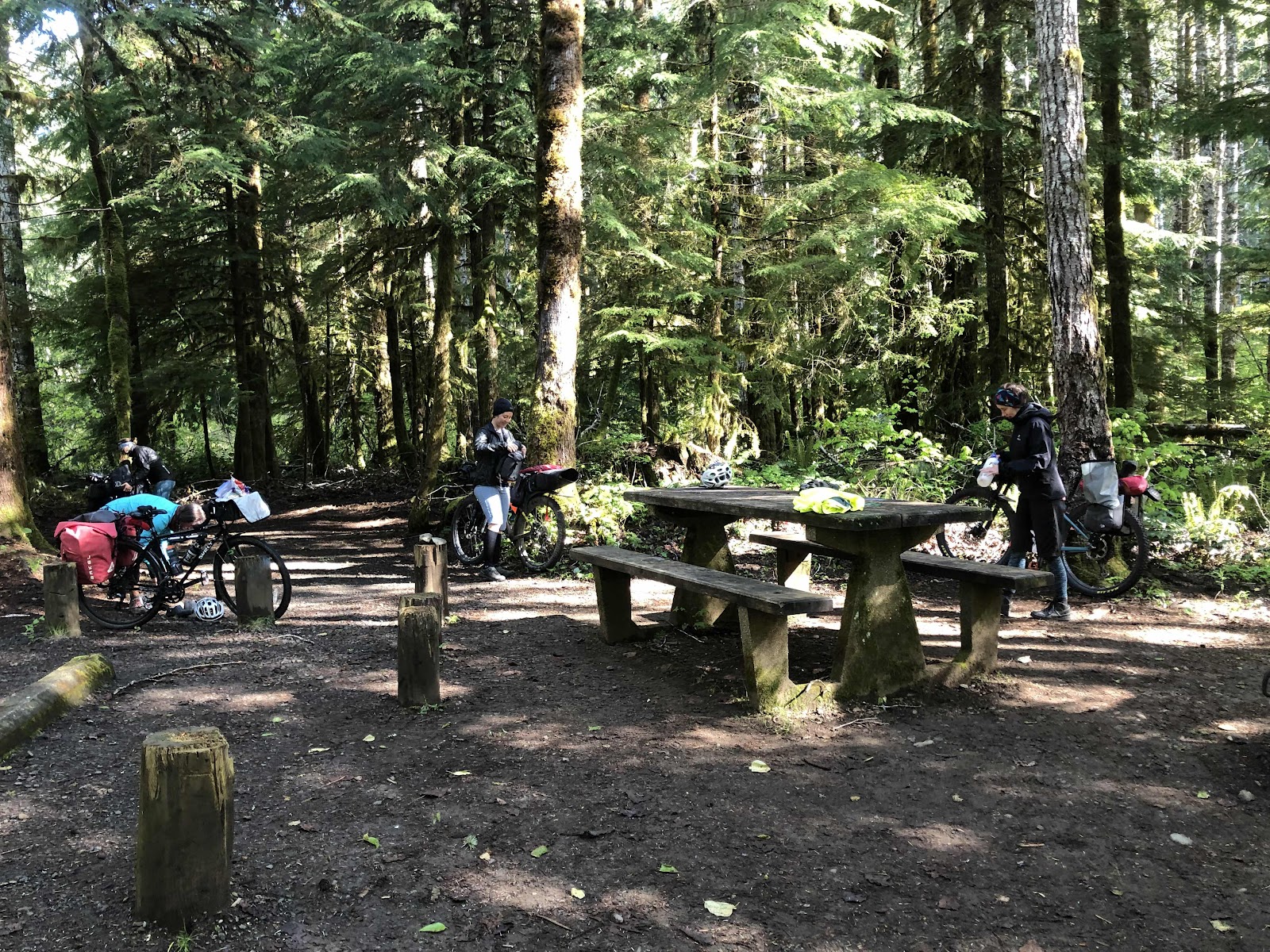
We arrived at the parking area and set about loading the bags on our bikes.
Catherine and Steph getting ready.
Ready to roll (photo credit Catherine)
We started riding about 3:00. Funny thing, I had loaded the route on my Garmin, but since it was a loop at the end, shortly after we started, Garmin said I had finished the route. I had to stop, and restart. In the process, I didn’t realize it had stopped recording. It wasn’t until we were nearly done for the day that I noticed (even though the route was running) that it wasn’t recording.
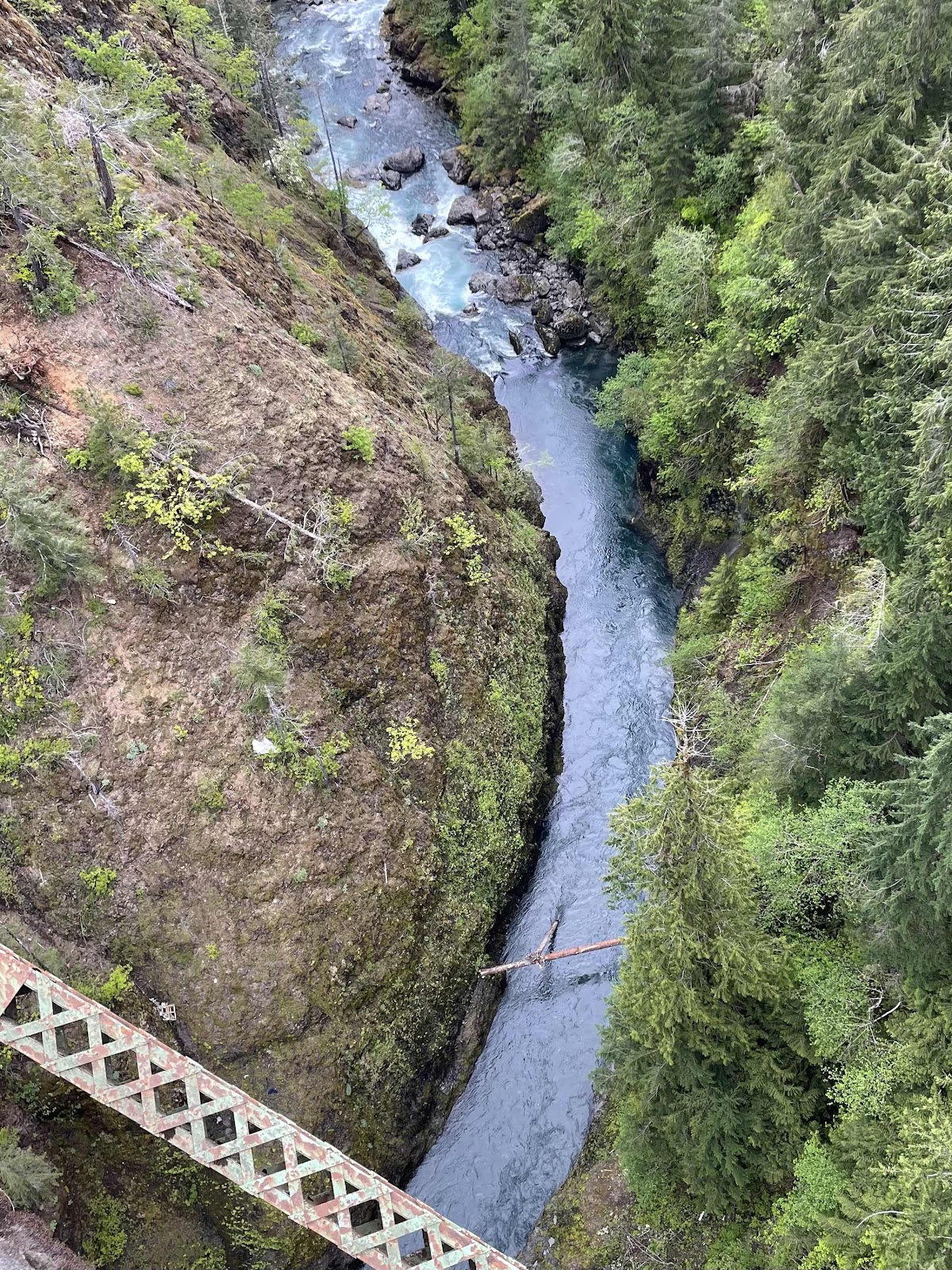
We got to the High Steel Bridge. It’s a pretty cool bridge.
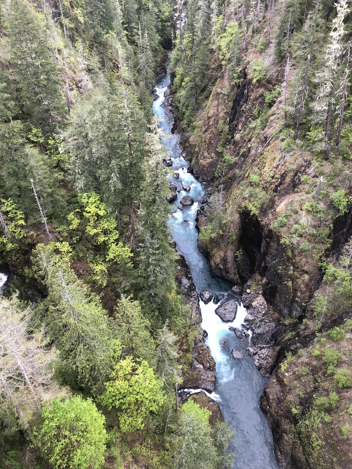
That’s aways down there!
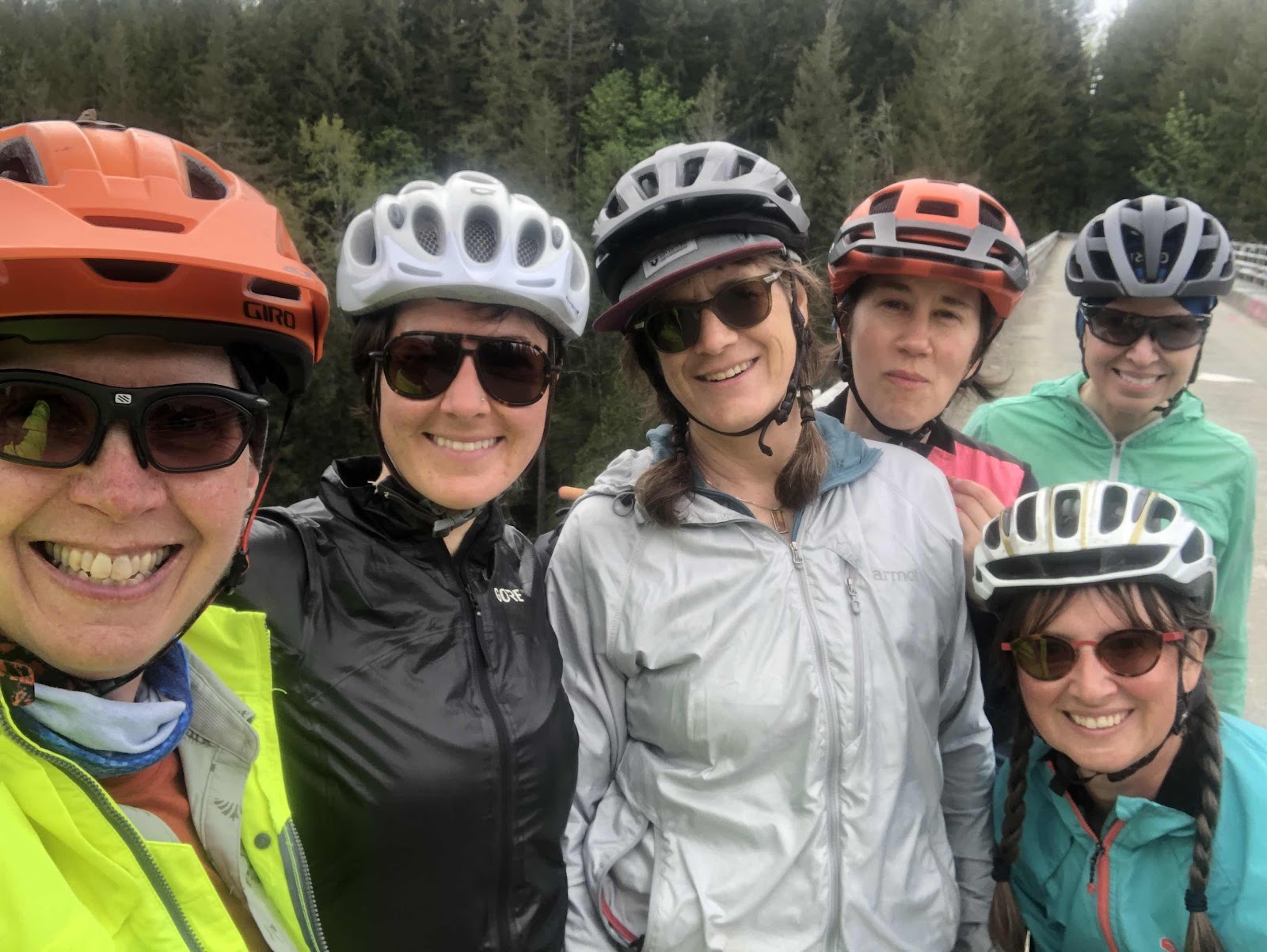
The early crew.
I think Catherine took this one.
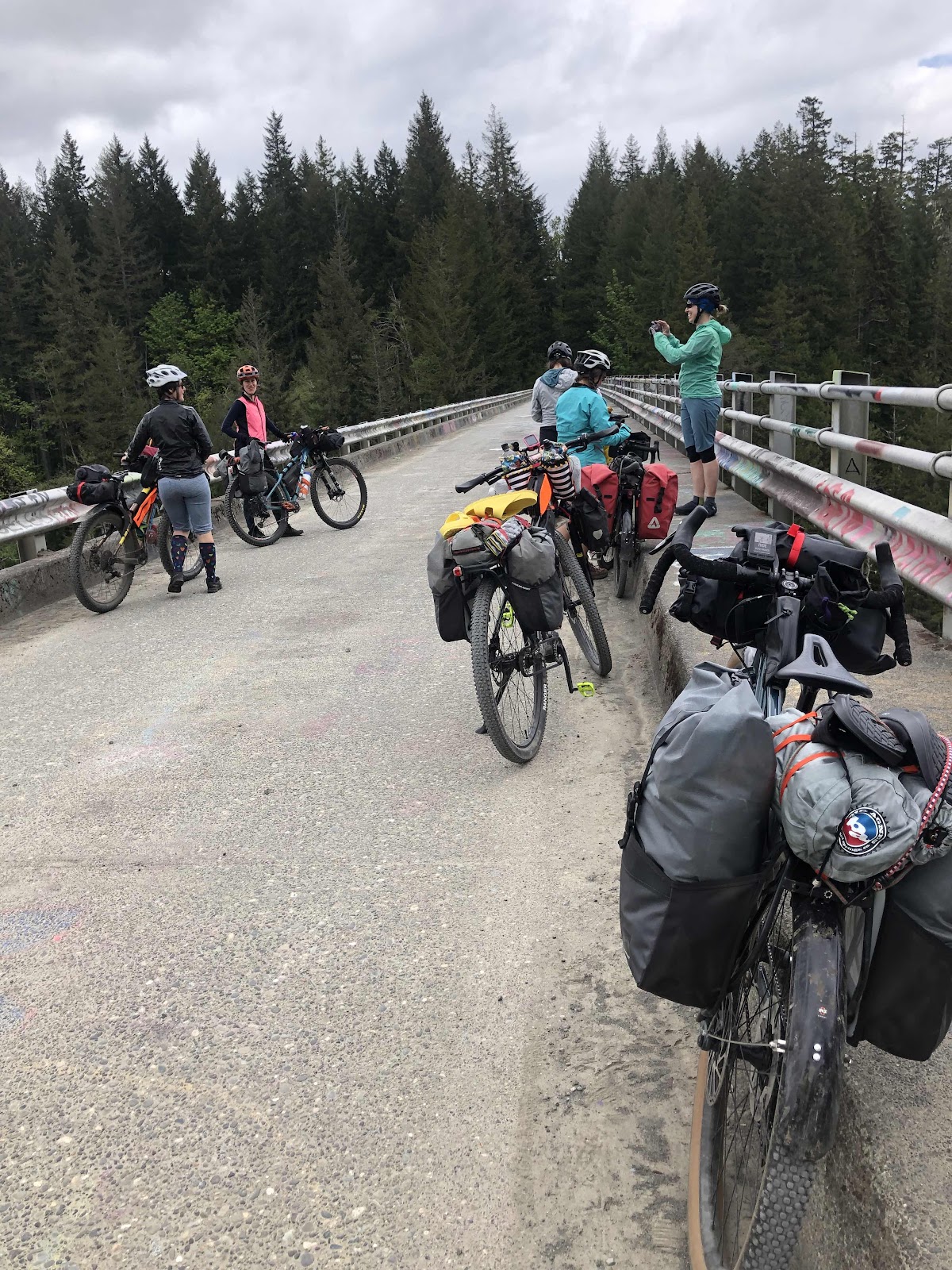
Photo op-ing on the bridge.
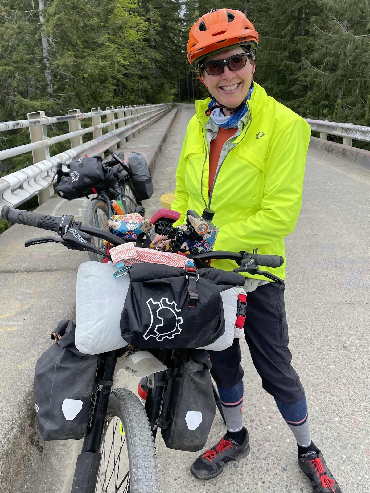
Me and Billy (thanks Catherine)
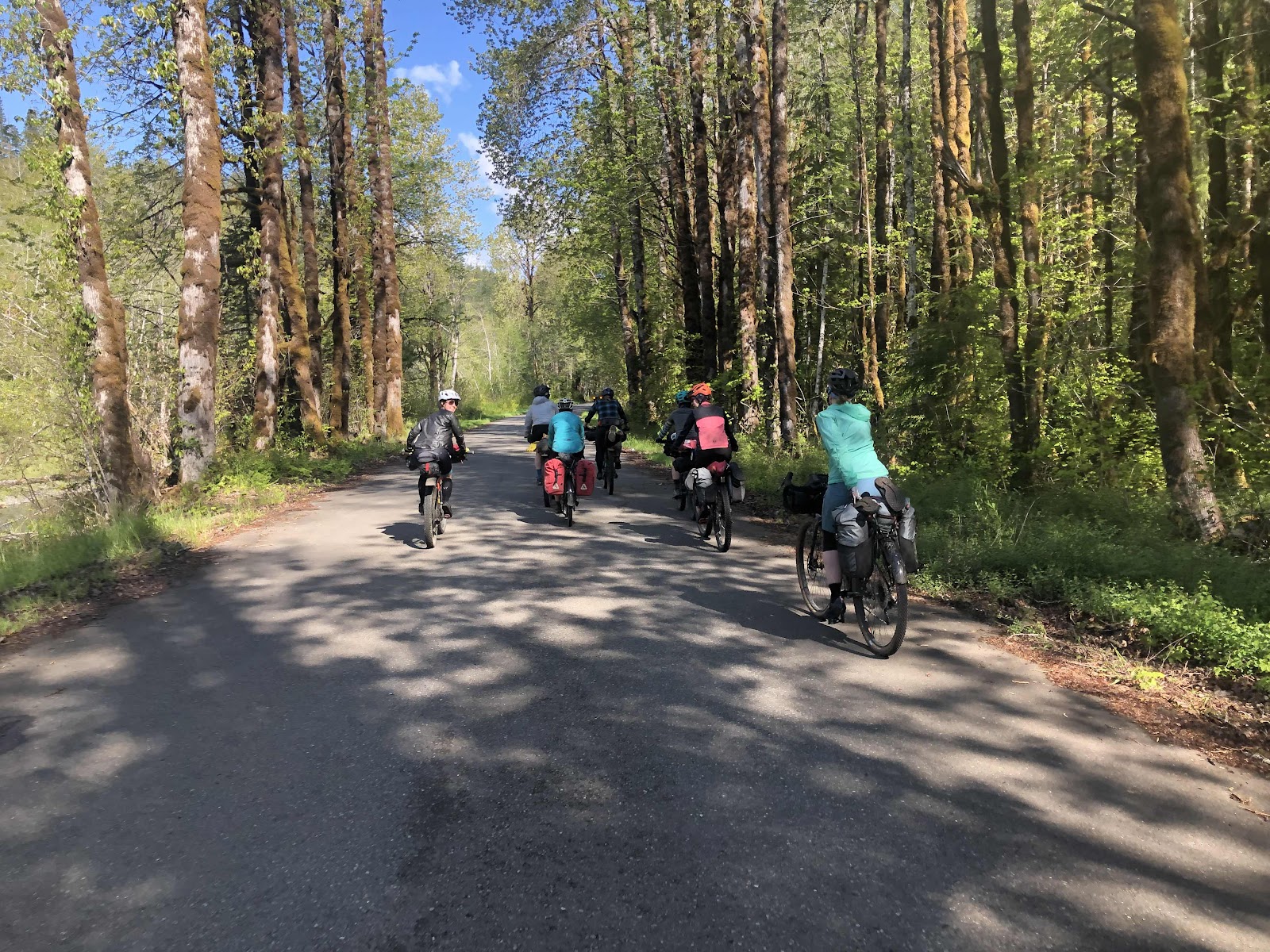
We had 13 miles to our first night’s destination of Brown Creek Campground.
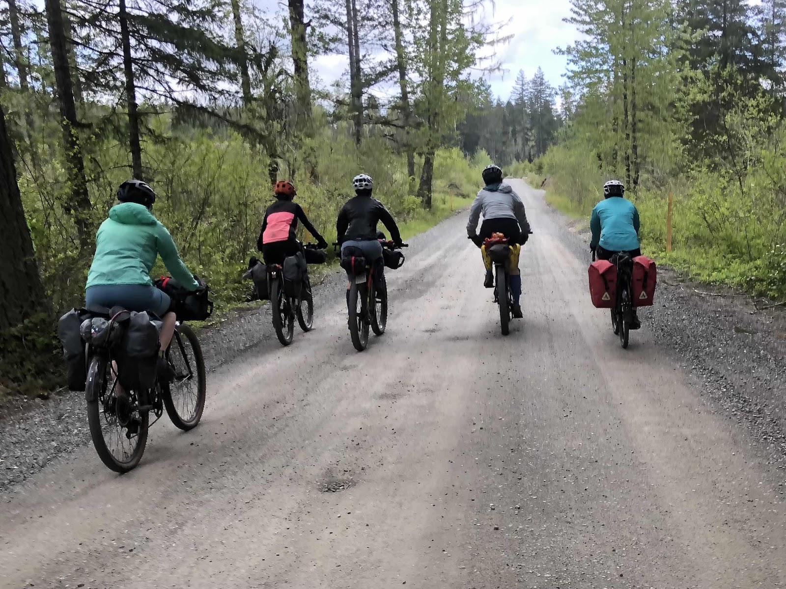
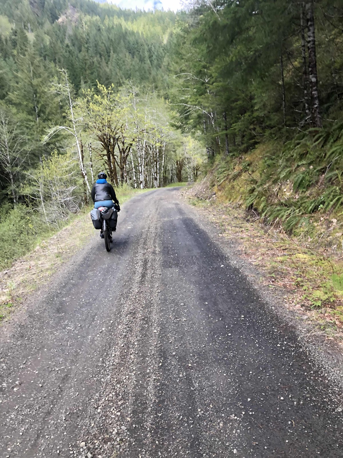
Partial Dream Team heading up the road.
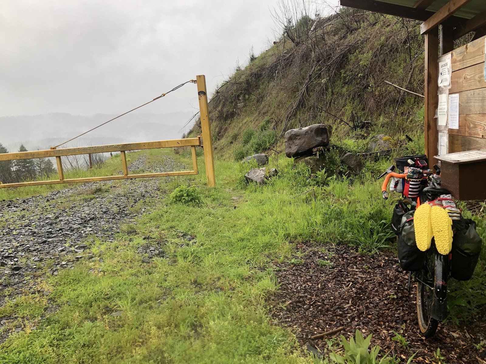
At one point, we came to a spot where the road either dead ended, or had washed out. We had to do an easy hike-a-bike to get to the other road.
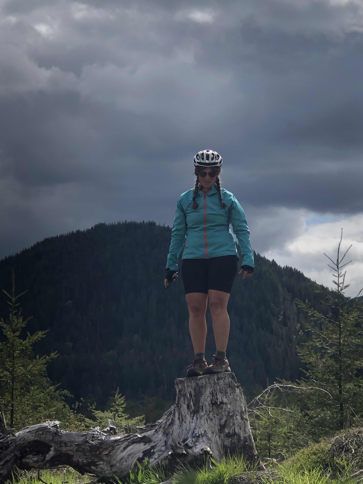
Bebeth…queen of the stump!
Back on the good gravel, we continued on. Supposedly, there weren’t any major climbs in this first 13 miles. So, when we started going up a rather steep bit, and it continued up, we realized something was amiss. Oops, missed a turn. We had to wait for Makaela, who was ahead, to realize we weren’t behind her. I knew she would eventually look at the route, and turn around…which she did, and we went back to where we had needed to turn. While we were waiting, there were some salal pickers who walked by with huge bundles on their backs (they looked like walking trees). The one guy said it was 55 lbs!
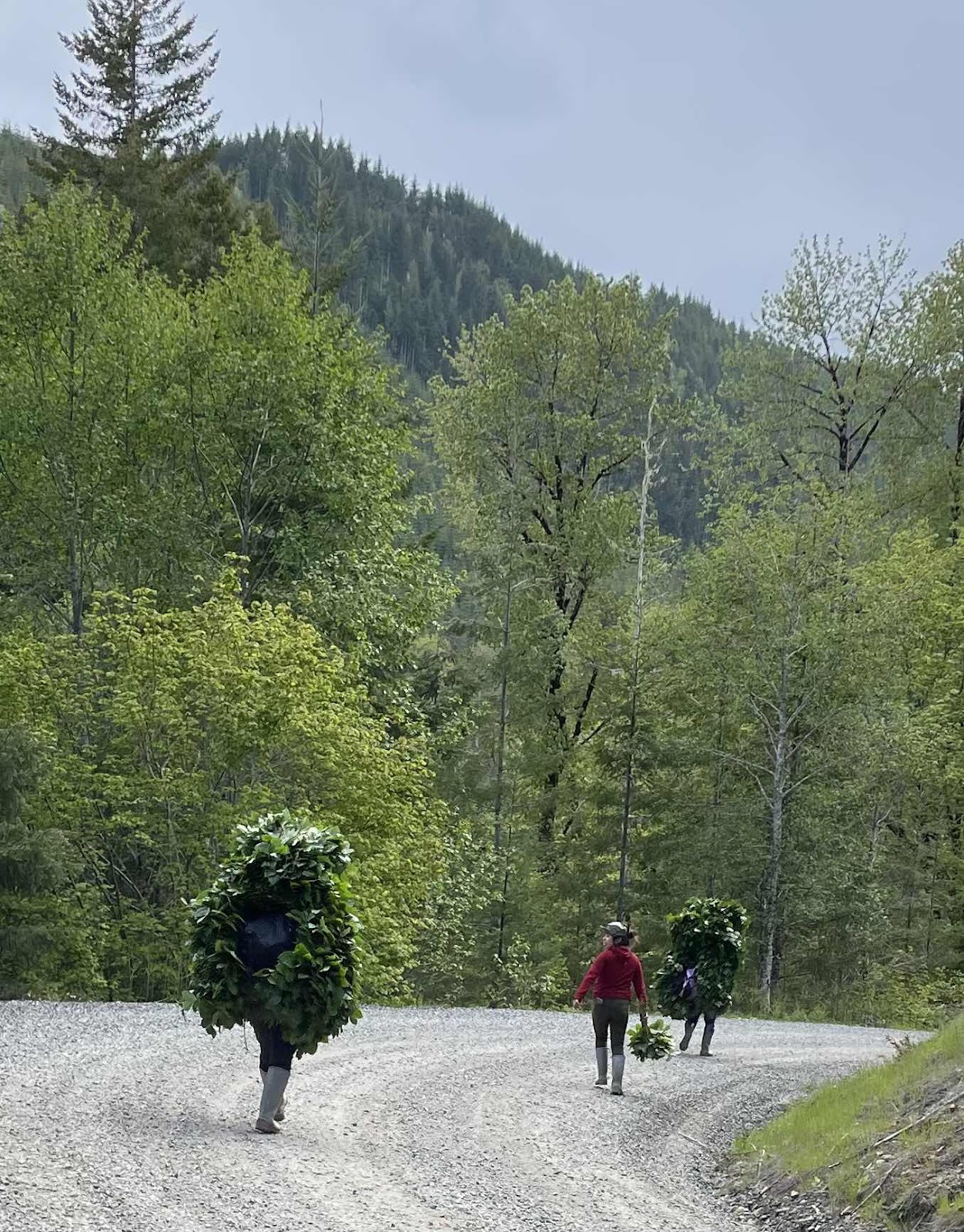
Walking trees (credit Catherine)
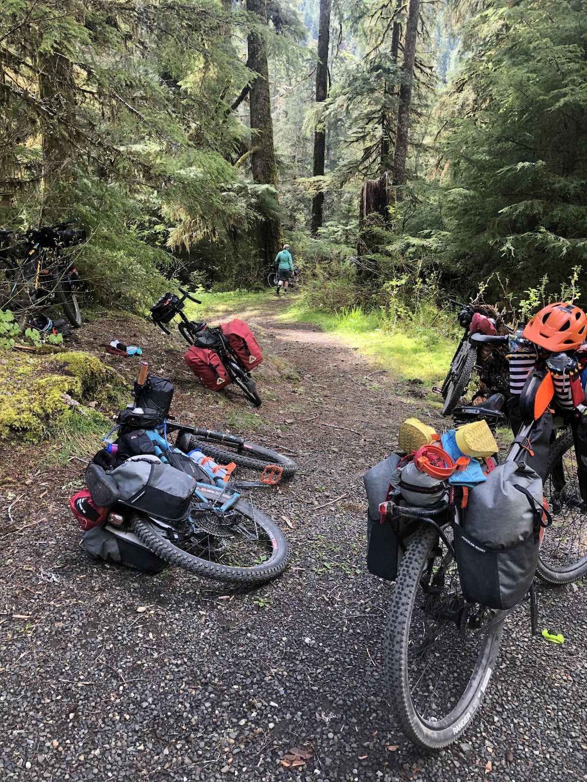
As we were riding on the correct road, we came to our first encounter with downed trees.
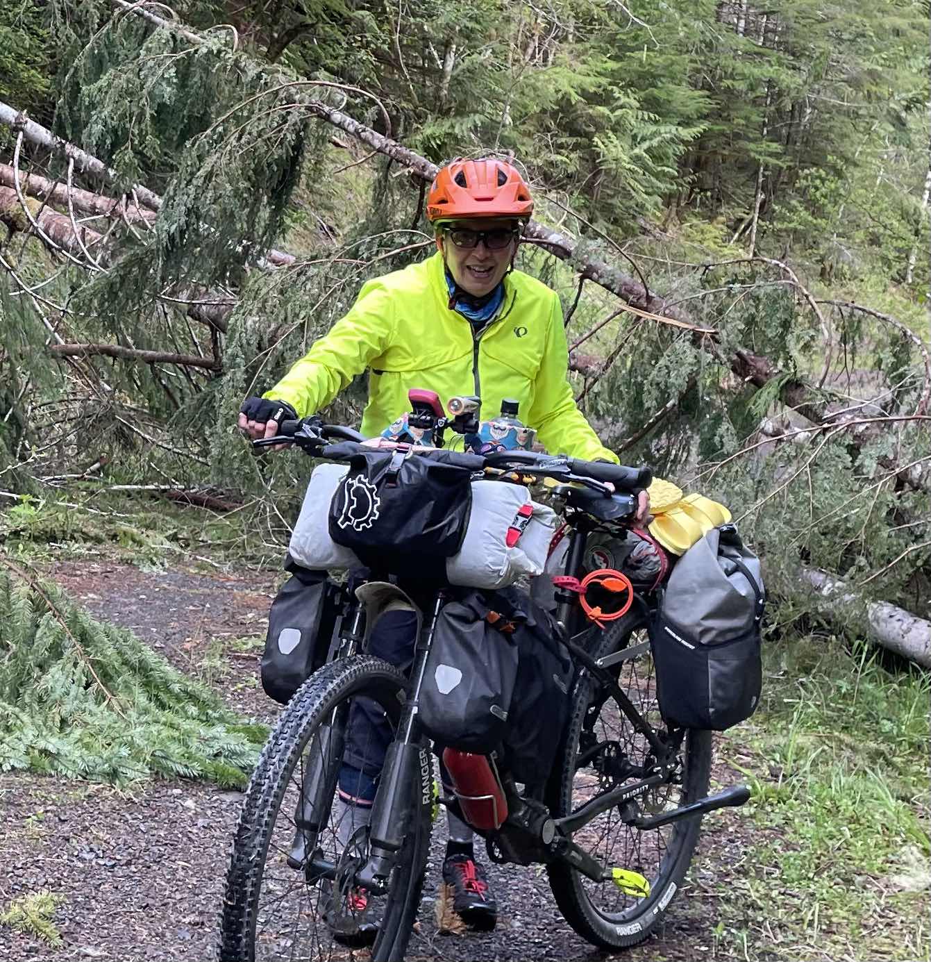
Billy is not a lightweight bike (credit Catherine)!
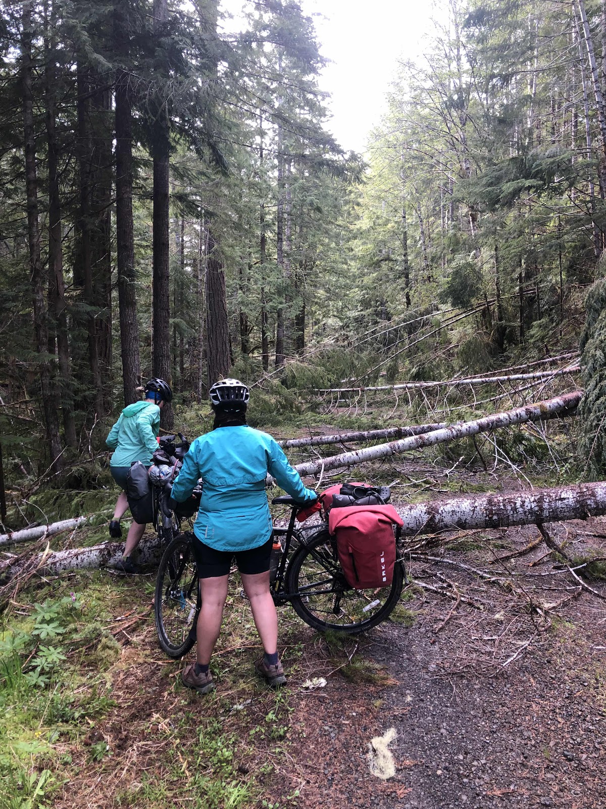
For some of the trees, we had to help each other lift the bikes.
Eventually, we made it through. Two of our posse were coming later. At this point we hoped they were driving to the campground (although, that would have had its own complications, as they would have had to ride back to the campground to get back to their car).
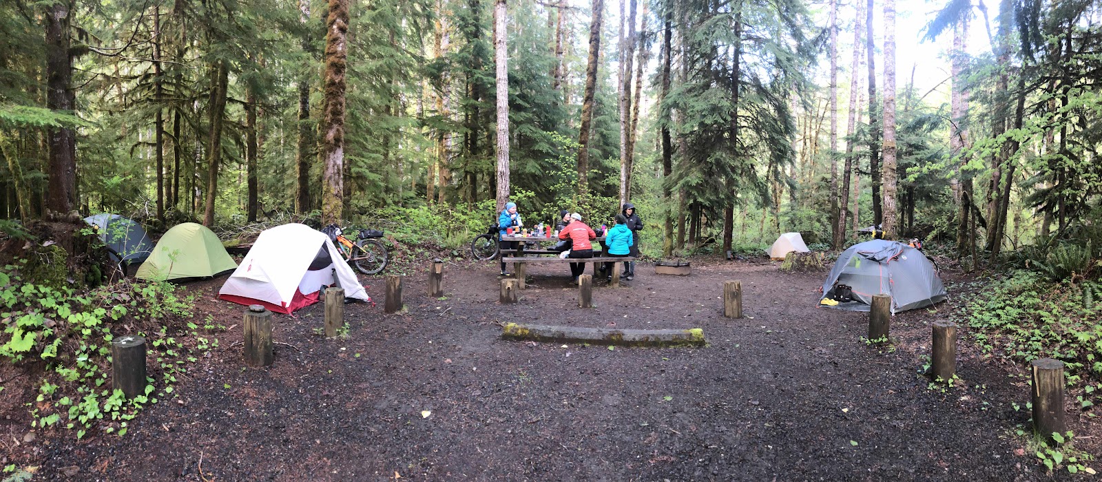
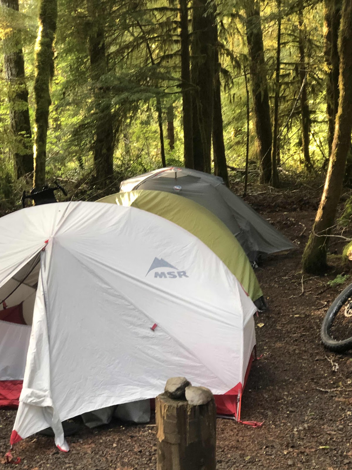
We came down down down to Brown’s Creek, and the campground. We arrived a little after 5:00. Since we had 7 tents, we rode around until we found a suitably large enough campsite. Site #11 fit the bill, and we were home for the night. As we set up our tents, it started to rain. This time, I was smart, and brought my rain pants and my Shake Dry (jacket and hat). It didn’t last too long though.
Two more coming.
Three in a row!
There were actually quite a few people camping. The people in the spot kind of behind us were using a flame thrower to keep their fire burning. They also offered us some Crown Royal, but we declined. Interesting…
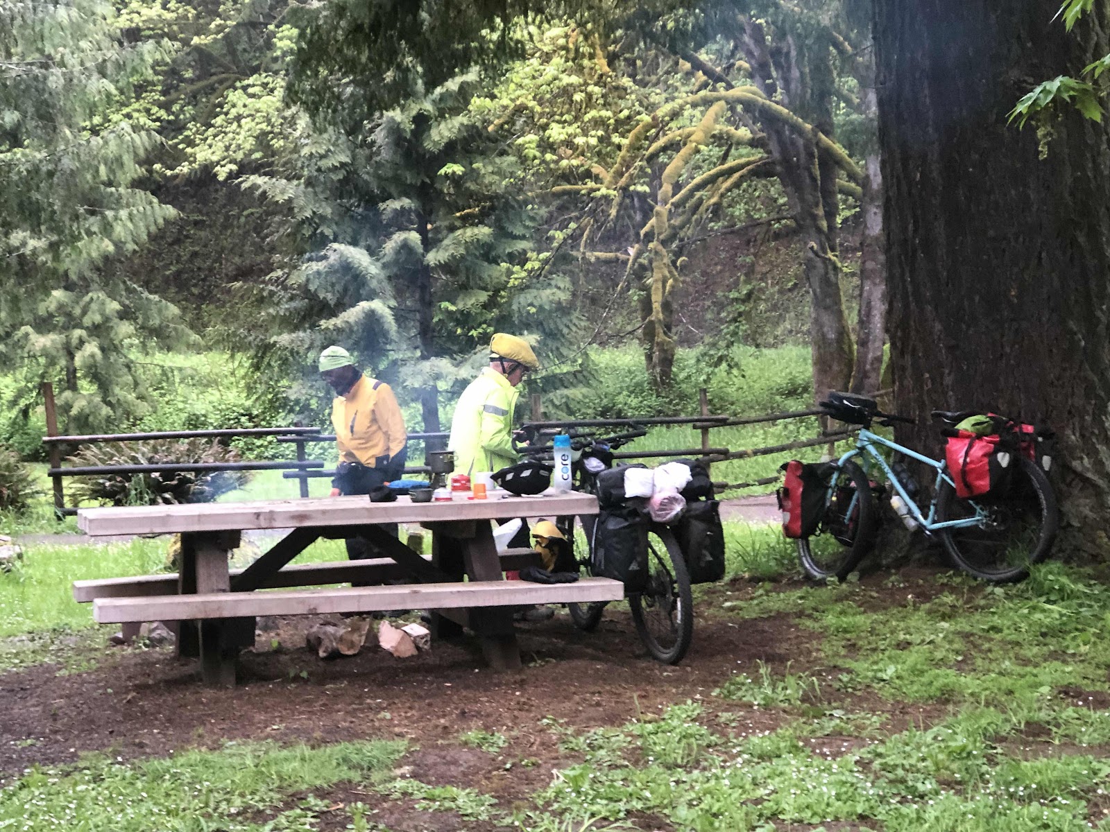
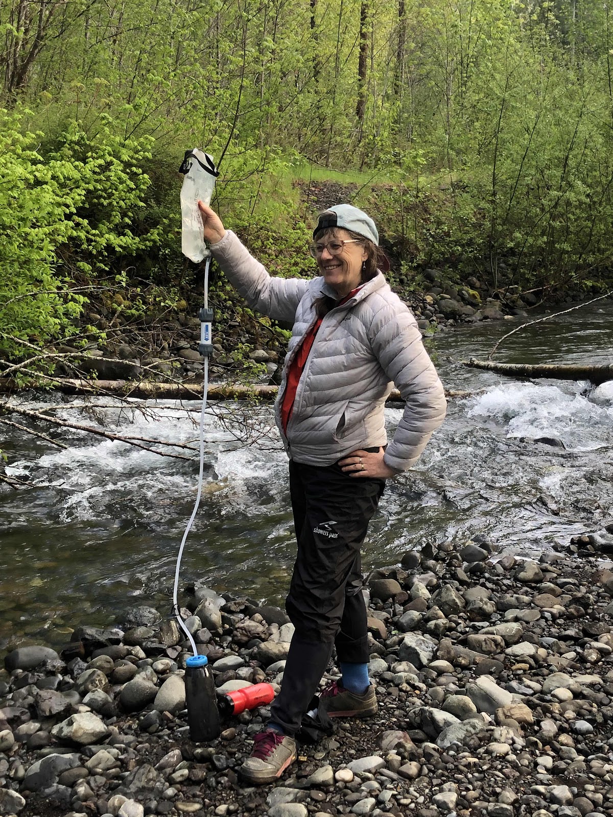
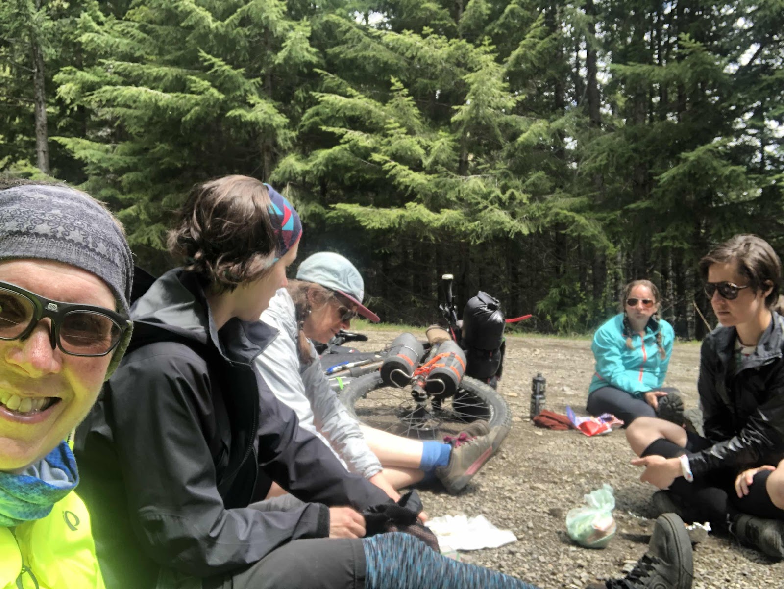
Once we got things squared away, we headed to the river to filter water. We later found out there was a pump, but filtering was just fine.
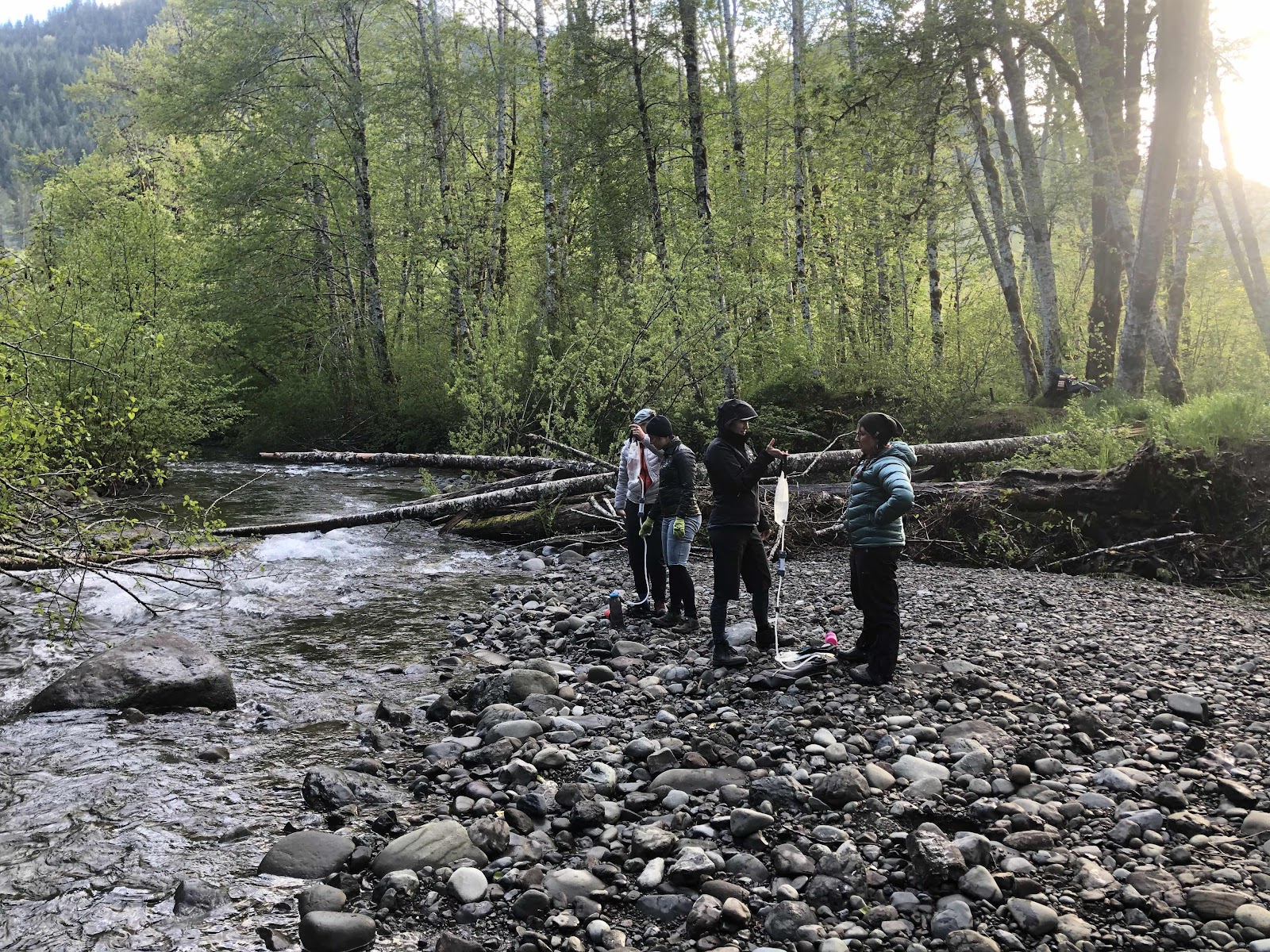
The filter pose!
Catherine employing the Sawyer.
We all made and ate our dinners. At this point, we figured Erin and Katie were riding to the campground. Not too much later, they rolled in. Now the whole posse was together!
Day 2-Getting a good upper body workout!
As usual, my bladder woke me up at 6:00. No one else was stirring yet, but I started the morning packing ritual. I did some “tent yoga”. By then, I could hear some stirring amongst the group. Erin was up and about when I got out of my tent. We both agreed that we had not slept that great (the neighbors were a little loud), but we would survive.
Everyone did their morning chores, and we were heading out at about 9:30.
Tents are down, bikes are loaded.
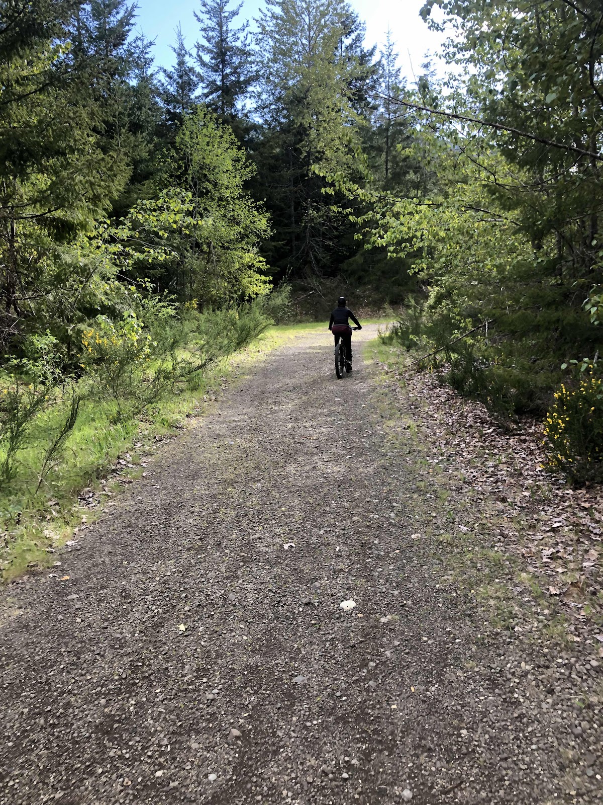
Right out of the campground we began the first climb of the day. It was a couple miles, but not terribly steep.
The Dream Team rides!
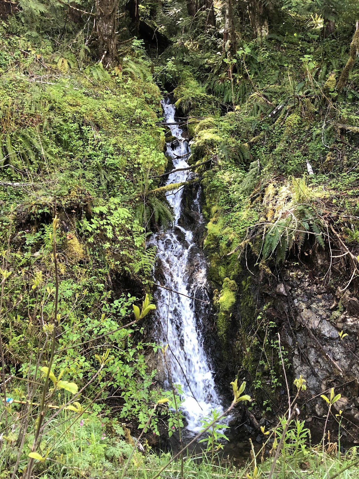
One of many waterfalls along the way.
Me being slower on “Sir Billy Weighs A Lot” (and also…just a side note, on my last bikepacking trip, I was the youngest…on this one, the oldest), it was a bit before I caught up to the group at Spider Lake.
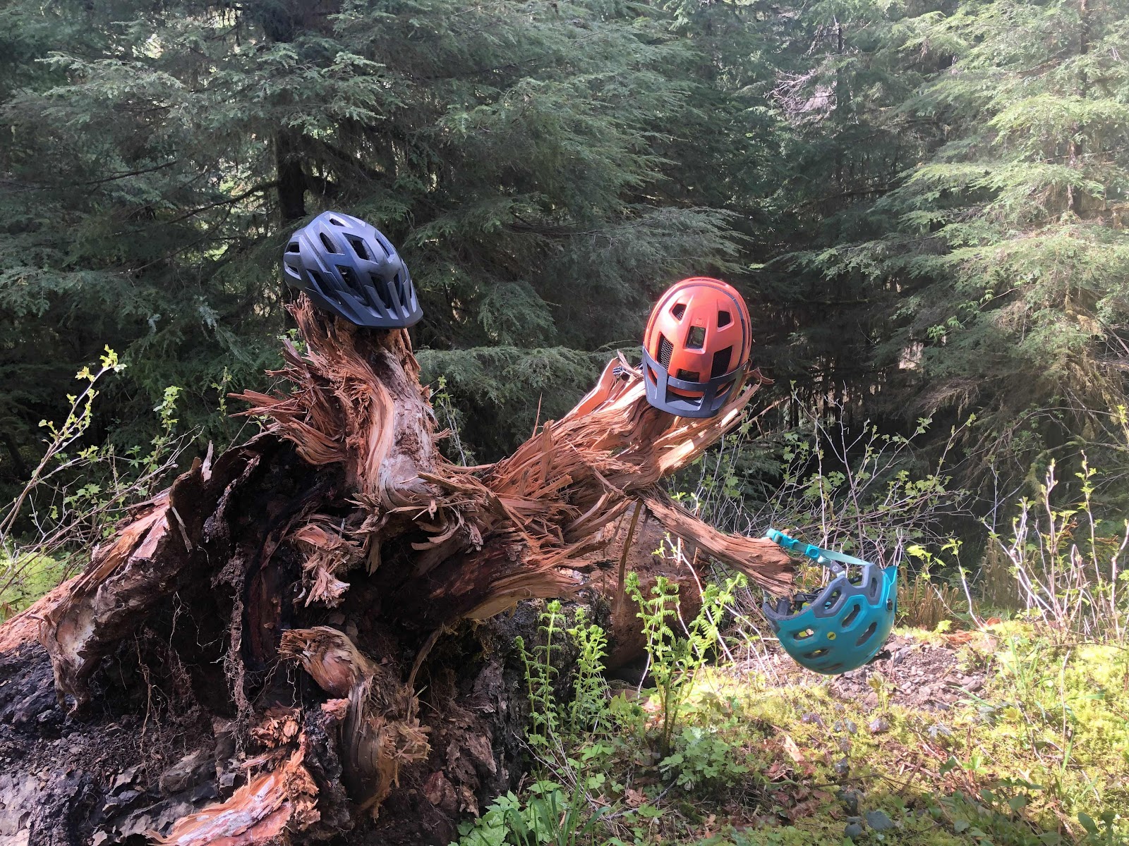
Helmet holder.
A few resting horses.
Before I did the AT, I had done a hike around Spider Lake. Today’s weather was much nicer than when I was here before.
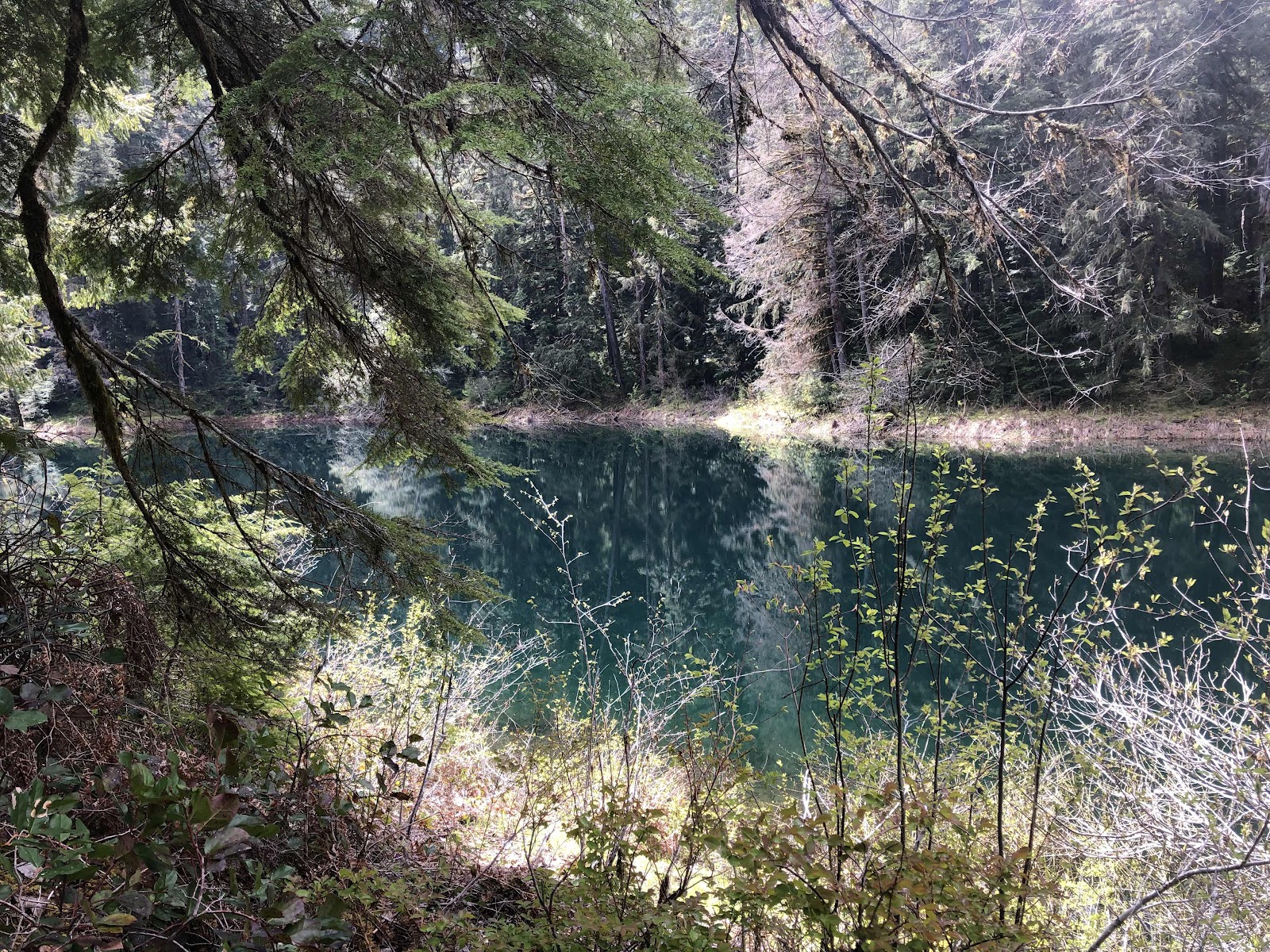
Spider Lake
Sunning by the lake
Next up was another lengthy climb. This would take us to the highest point of the route. Spider Lake was also the point where, we began the out-and-back portion of the route. When we came back, we would go around the other side of the lake. It was about noon when we all made it to the top. Bebeth had decided she had met her appropriate edge, and decided to turn back. She would do the other half of the loop to get back to her car. First though, we decided to eat lunch.
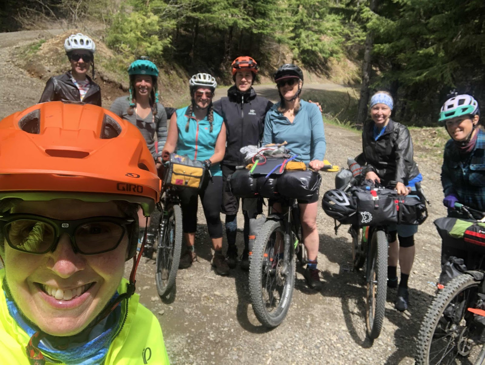
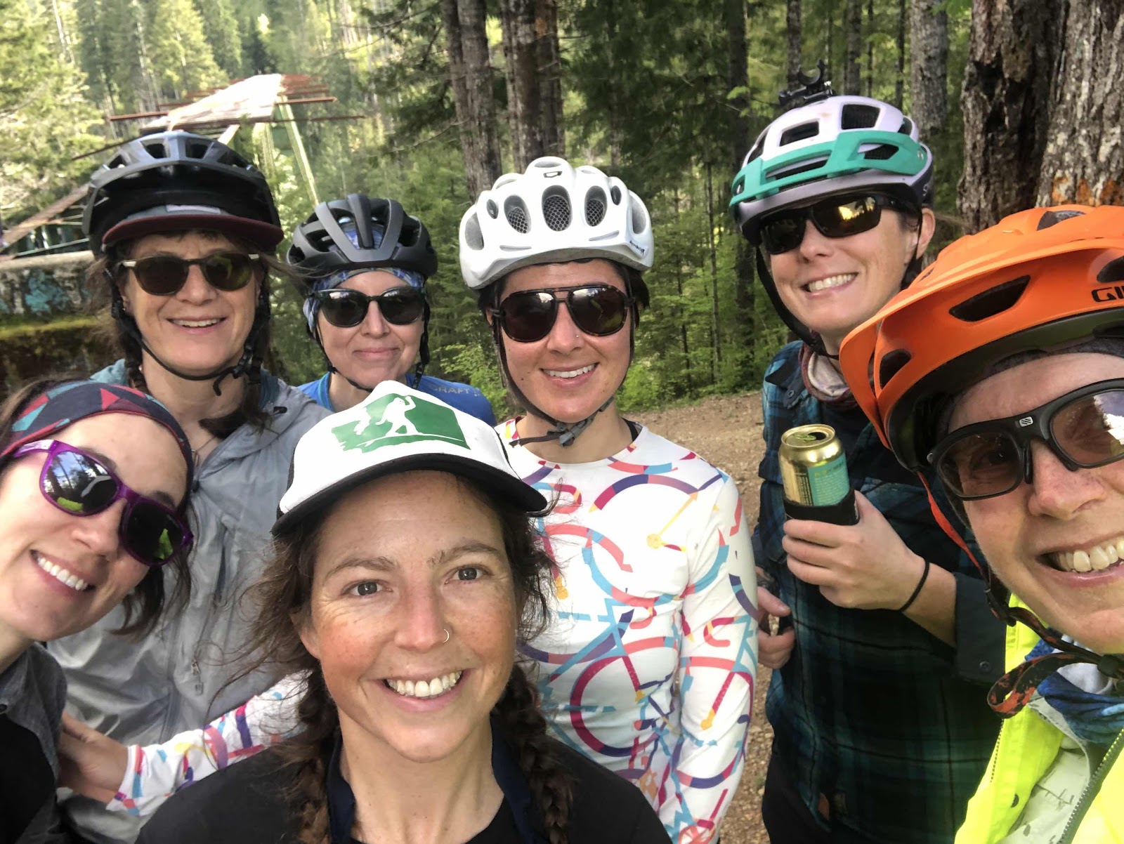
Group photo with all 8 of us!
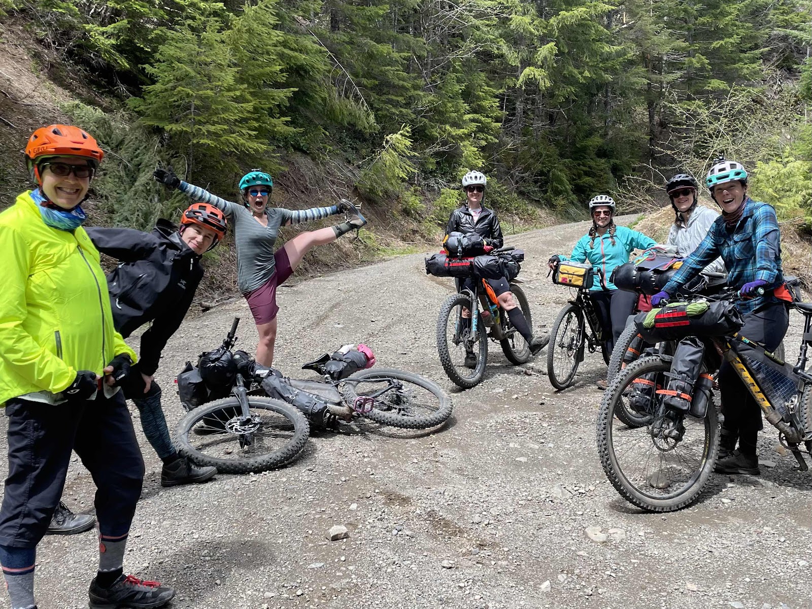
Photo by Catherine
Lunch!
Just as we were finishing lunch, and saying our goodbyes to Bebeth, it started to rain. For insurance purposes, I put on all my rain gear. Usually this guarantees it will stop raining quickly. It did not.
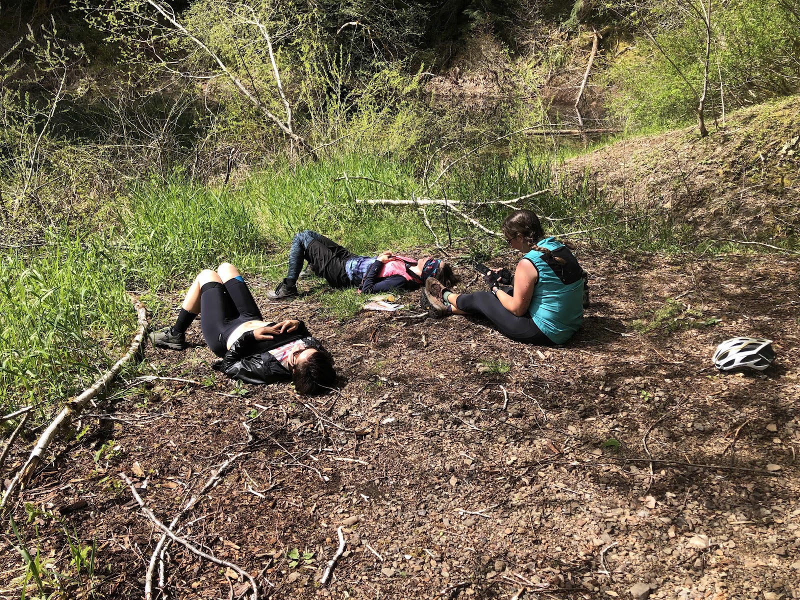
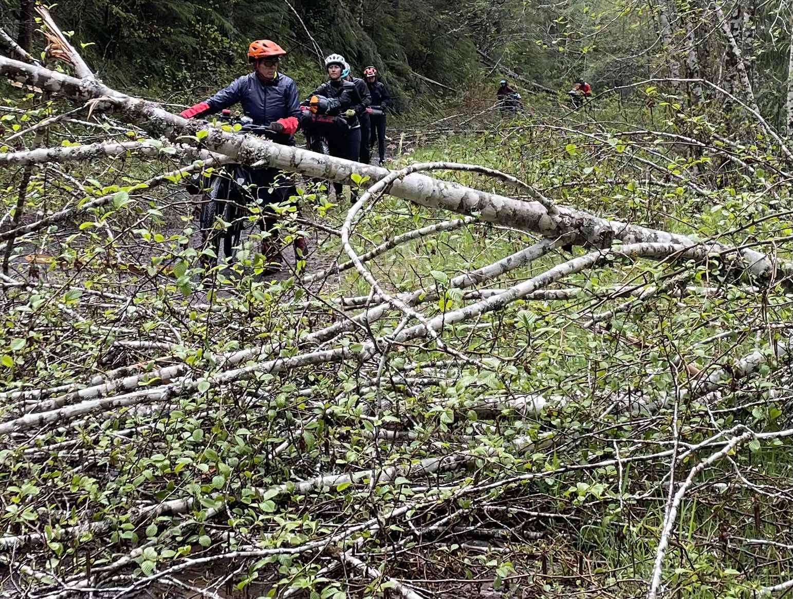
We started down the hill. Soon we were having to ride over small branches. Then, we were encountering big downed trees. At the first batch, we caught up to Erin, Katie, and Catherine. Their bikes were laying on the ground, and they were tucked under a bunch of Charlie Brown trees trying to stay a little dry. It was quite comical.
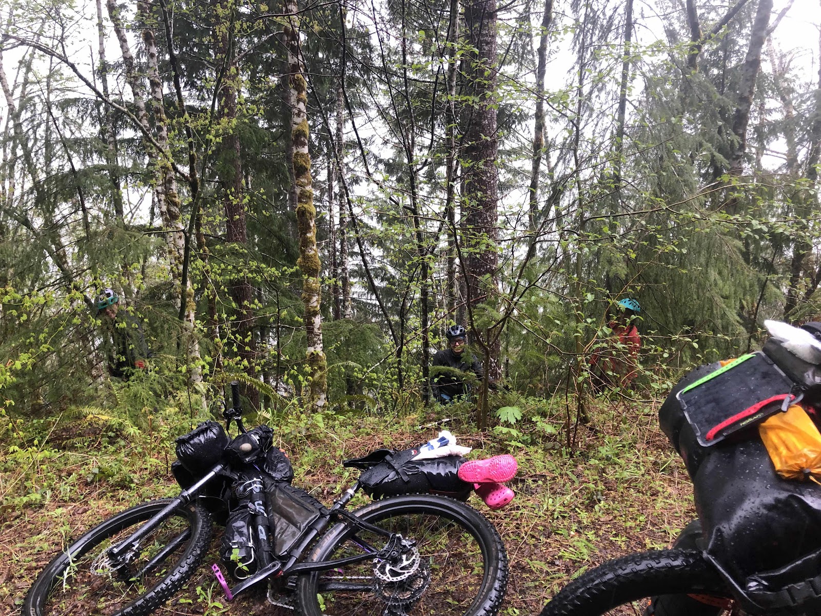
Look closely, and you can see Erin, Catherine, and Katie tucked under the scrawny trees.
When Jana told her son what we were doing this weekend, he told her one thing…bring a hand saw!
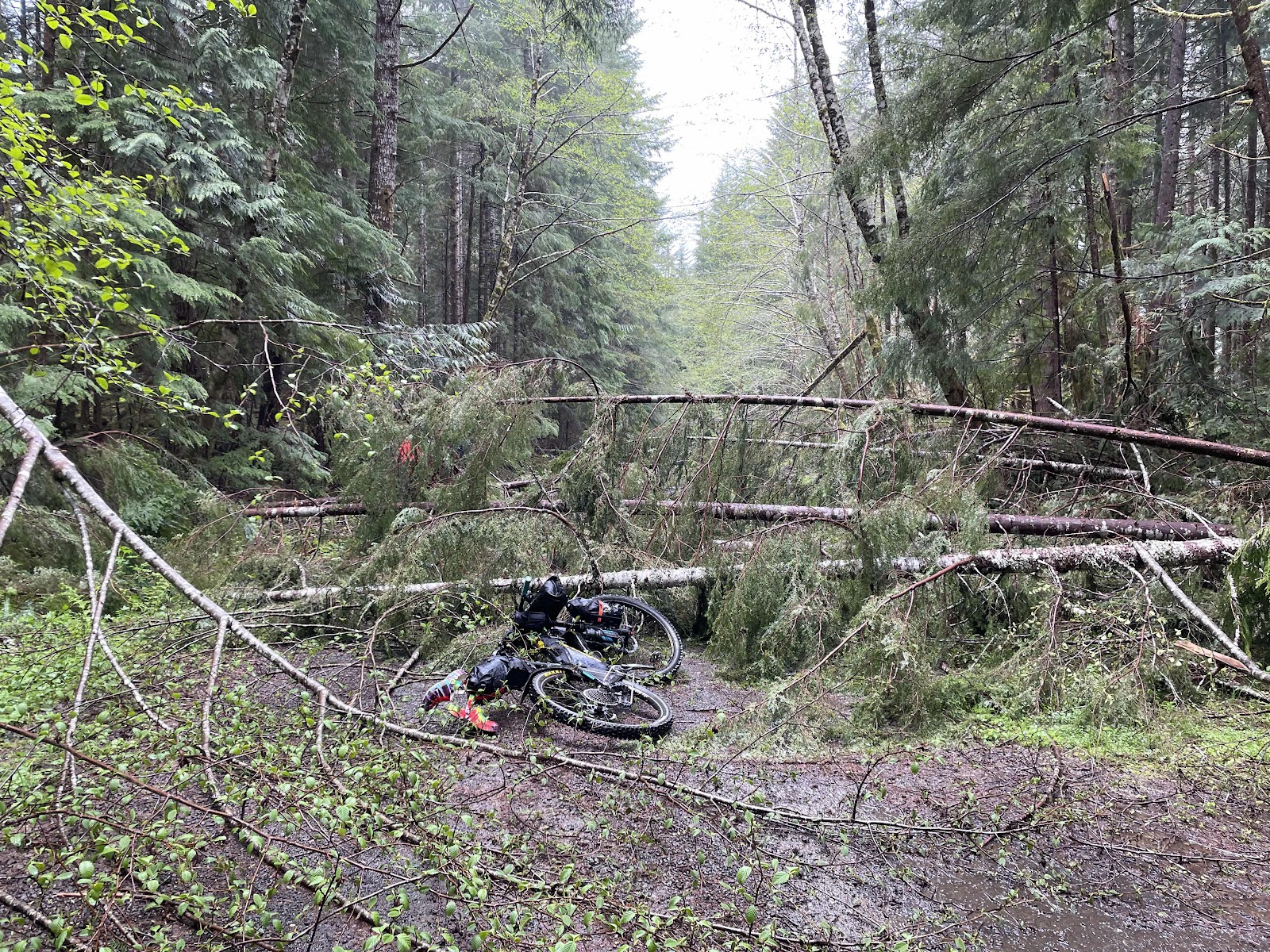
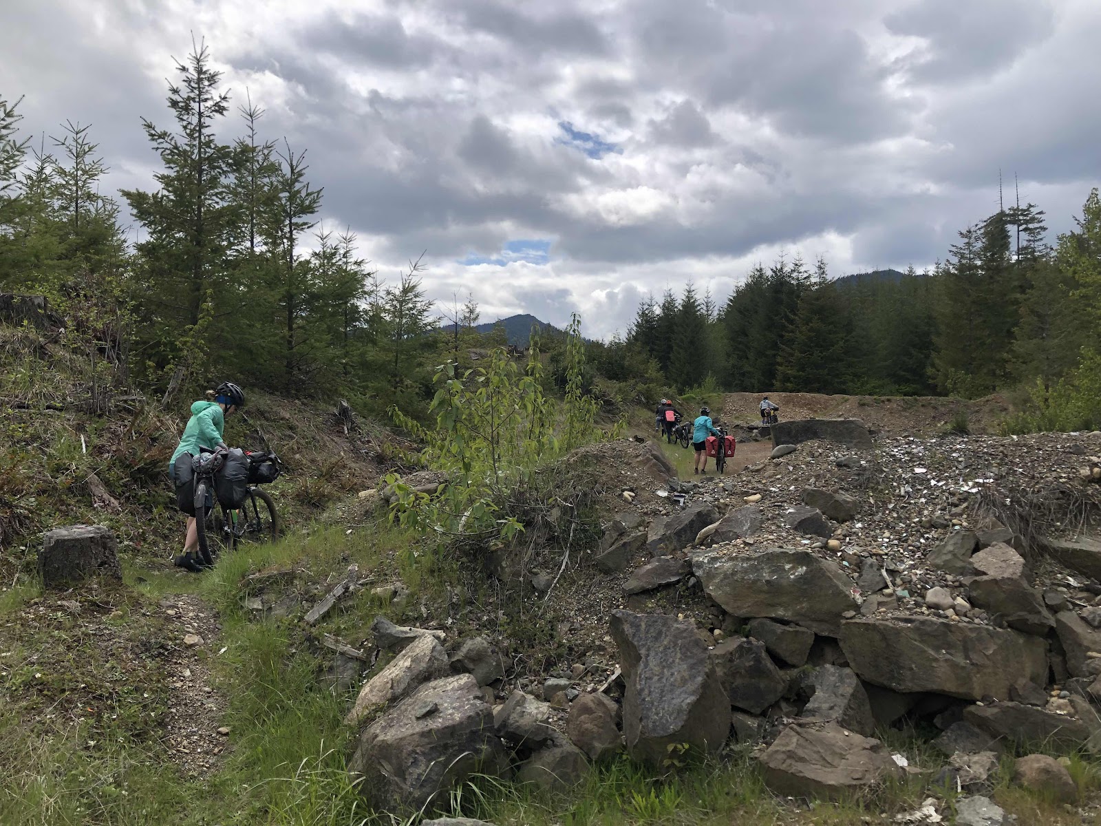
Oh…that’s a mess!
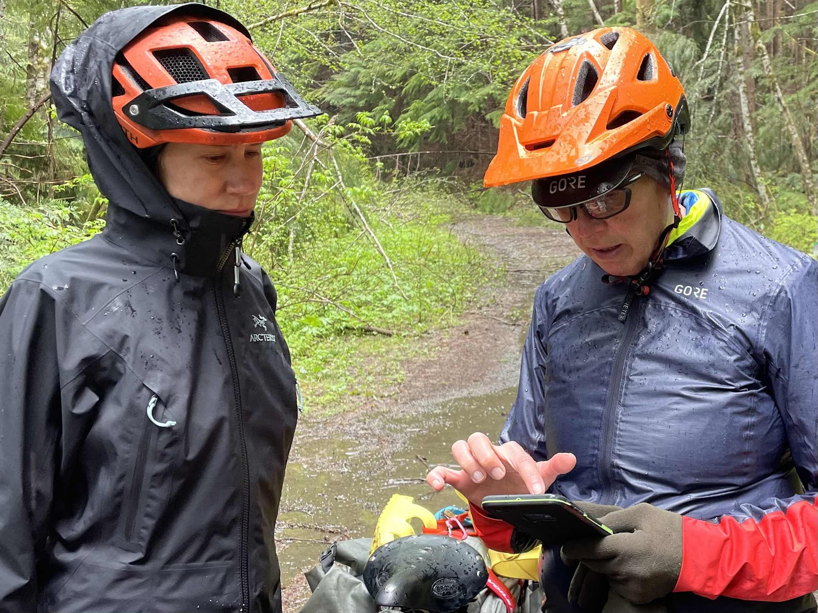
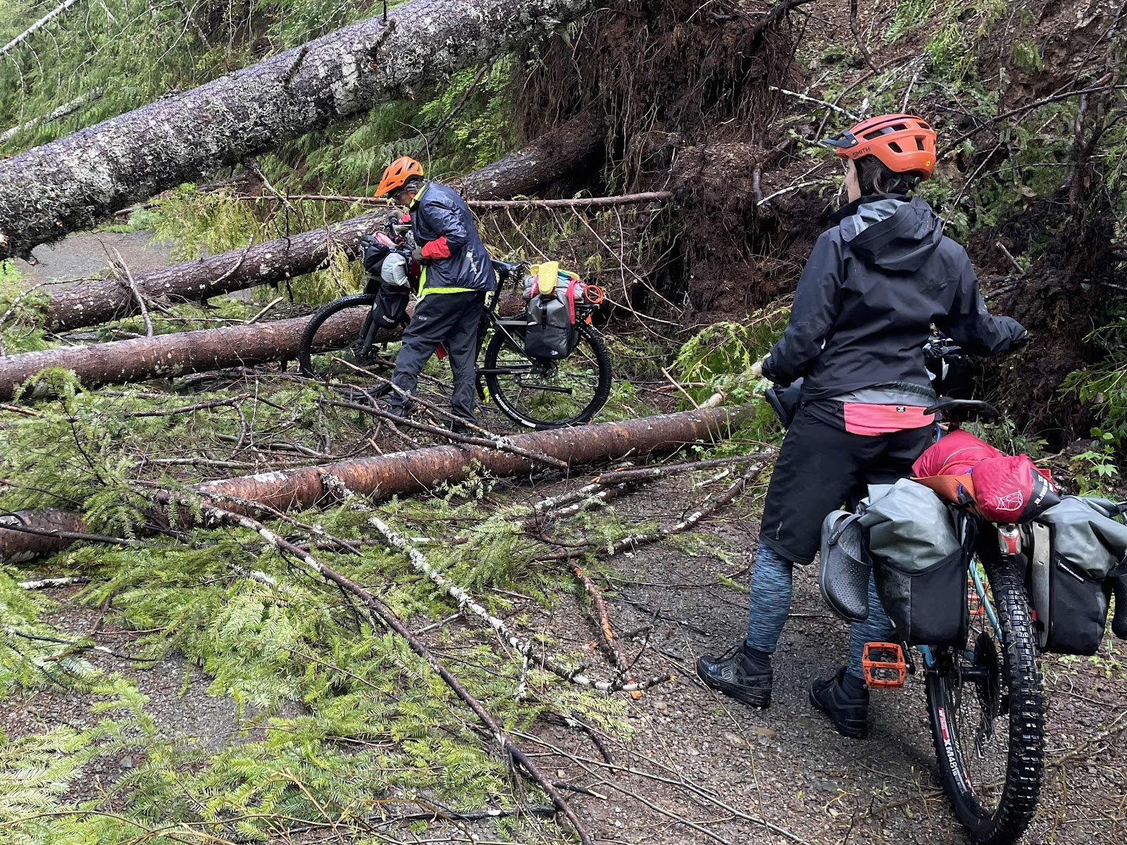
We lifted and pulled the bikes over and under numerous trees. When it was possible, Jana cut a path through with the hand saw. Some spots were so bad, we had to help each other to lift the bikes over. We sawed, hacked, lifted, and pulled our way through downed tree after downed tree. We had one open stretch that gave us hope, only to come to another extended batch of fallen trees. After a ridiculous amount of time over a very short distance, we had a discussion about the situation. Remember, this was the out-and-back part. We would have to do all of this the next day. We looked at the route to see if there was an alternative.
Is there another way???
I was pretty sure there wasn’t (that would get us back to the cars), because when I made the route, I was looking for a way to not have to do an out-and-back at all, and I hadn’t found one.
We decided the smartest option was to turn back. We were all pretty tired of the bushwhacking, and we didn’t know how much more we would have to do (Erin had scouted ahead, and could see nothing but the same). We started the trek back through all the trees we had just come through.
Sometimes, we would get to a bunch, and say, “How did we do this one?”
Over this, then over that…
We made it back to the high point. While enjoying the now sunshine, and eating a snack, we contemplated our next move.
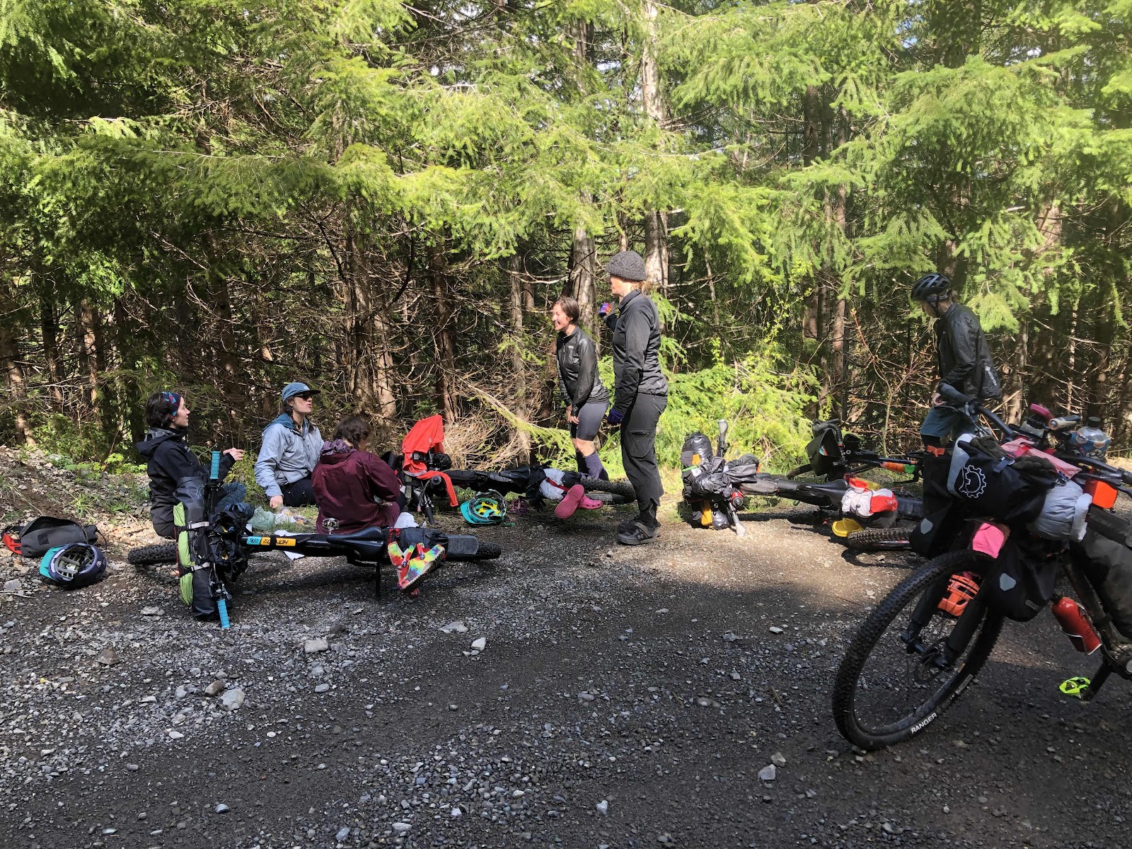
There were those who were ready to call it, and go back to the cars (via the other half of the loop), and there were those who wanted another night in the woods. In the end, we decided to go back to the cars. It would mean a longer day, miles wise, but definitely doable (assuming a clear road).
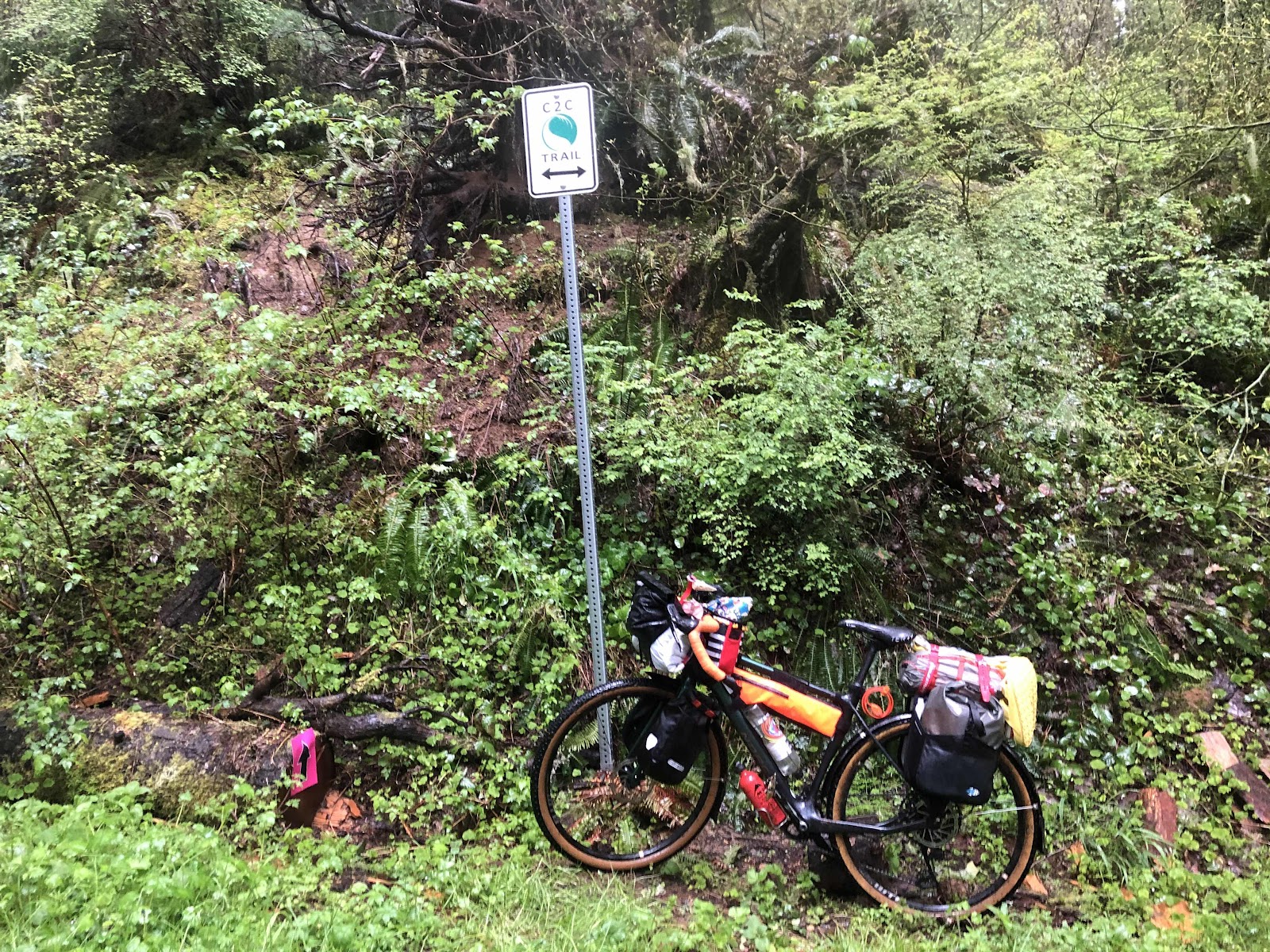
When we got back to Spider Lake, and the turn for the loop, we again discussed the plan. It was 13 more miles to the cars. What if there were more downed trees? I had been on more than half of the remaining miles before (in the snow), and there weren’t many trees. We decided to go for it. If we did encounter a bunch more trees, we could always stop and camp if we needed to.
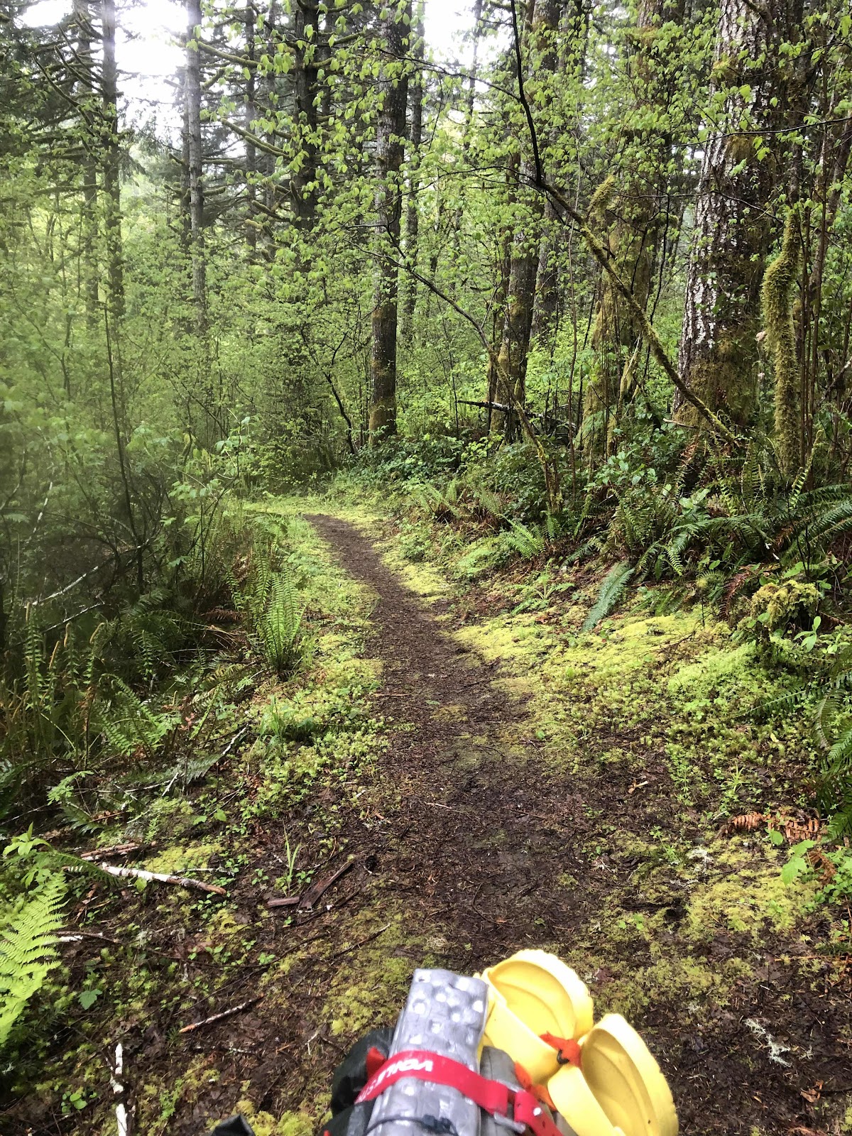
There was definitely evidence of recent downed trees, but they had all been cut back enough so a vehicle (and a bike) could get through. It was a very pretty ride through all the Spring green.
Such a nice fallen tree free road! Catherine up ahead.
We made it back to the cars in glorious sunshine. We unpacked the bikes, and then rode to the Vance Creek Trestle.
Bikes so much lighter!
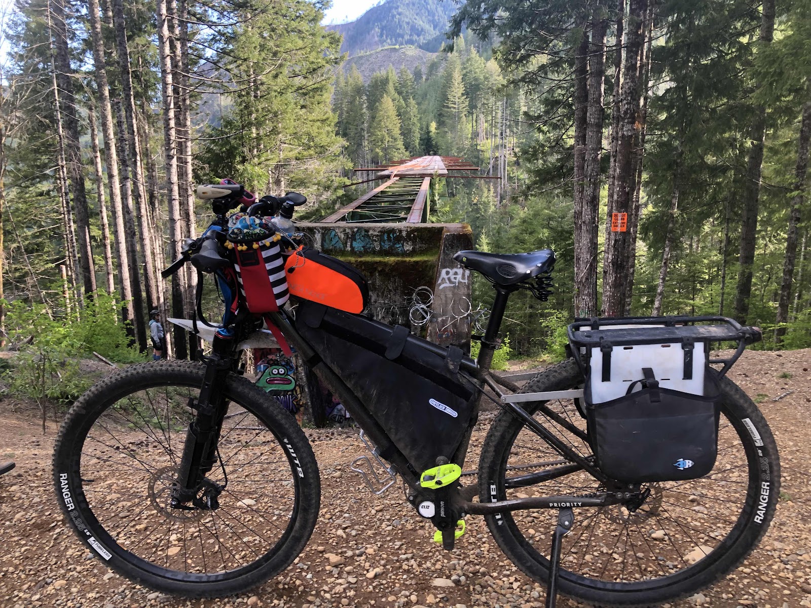
Billy’s first time at the trestle.
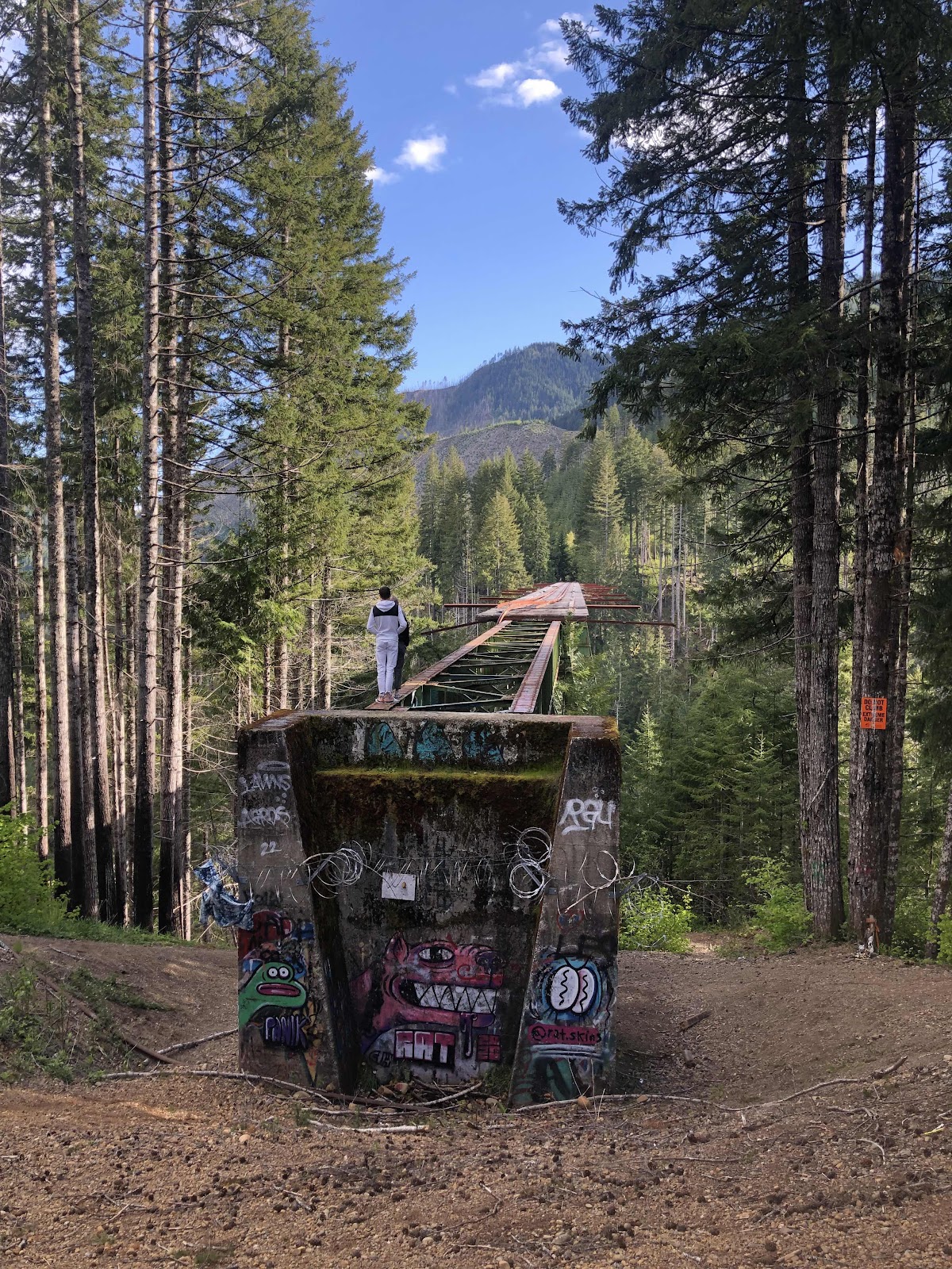
Those people were not heeding the signs!
All smiles!
We finished the trip at Buzz’s for some good hot food and a celebration of another successful (even though shorter) bikepacking trip! And…we have now given Jana a new name…”Lumber Jana”…for her sawing abilities!
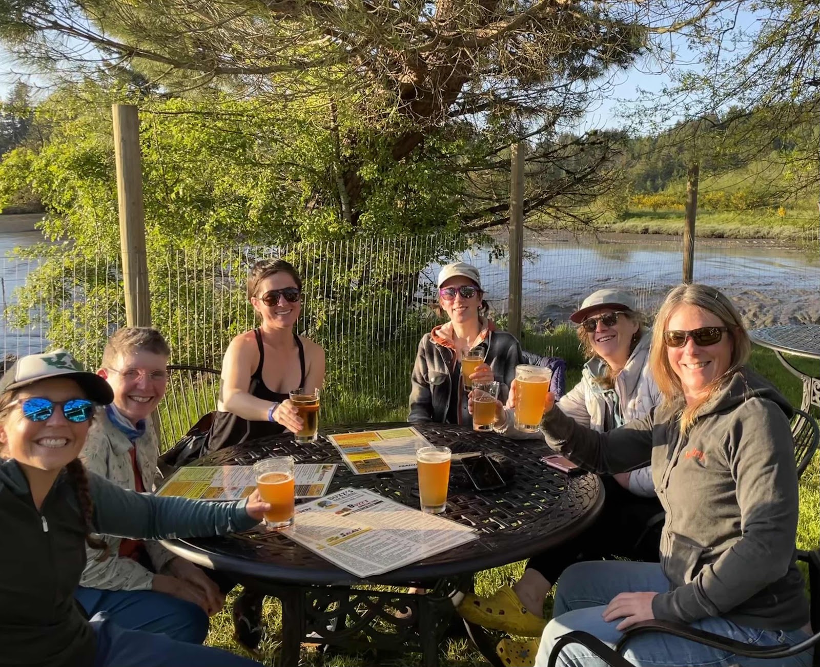
Time for food (and beer for those who like it).
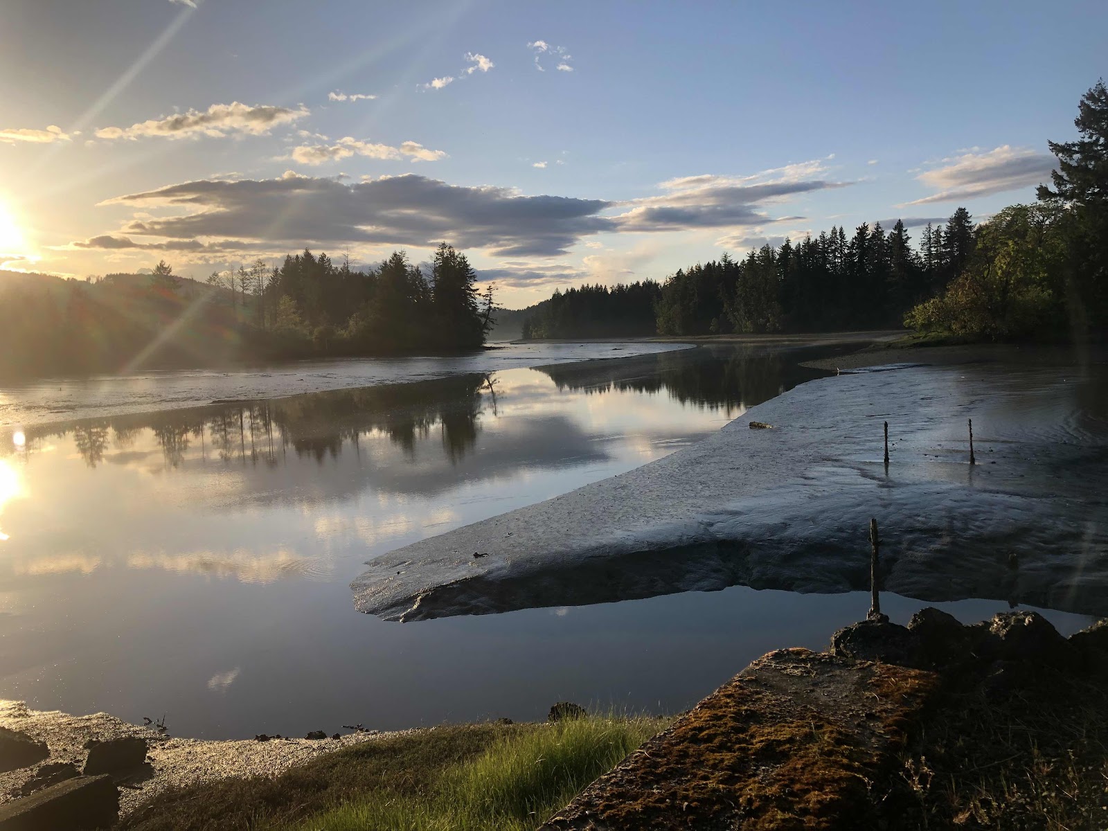
Mud Bay from our table at Buzz’s
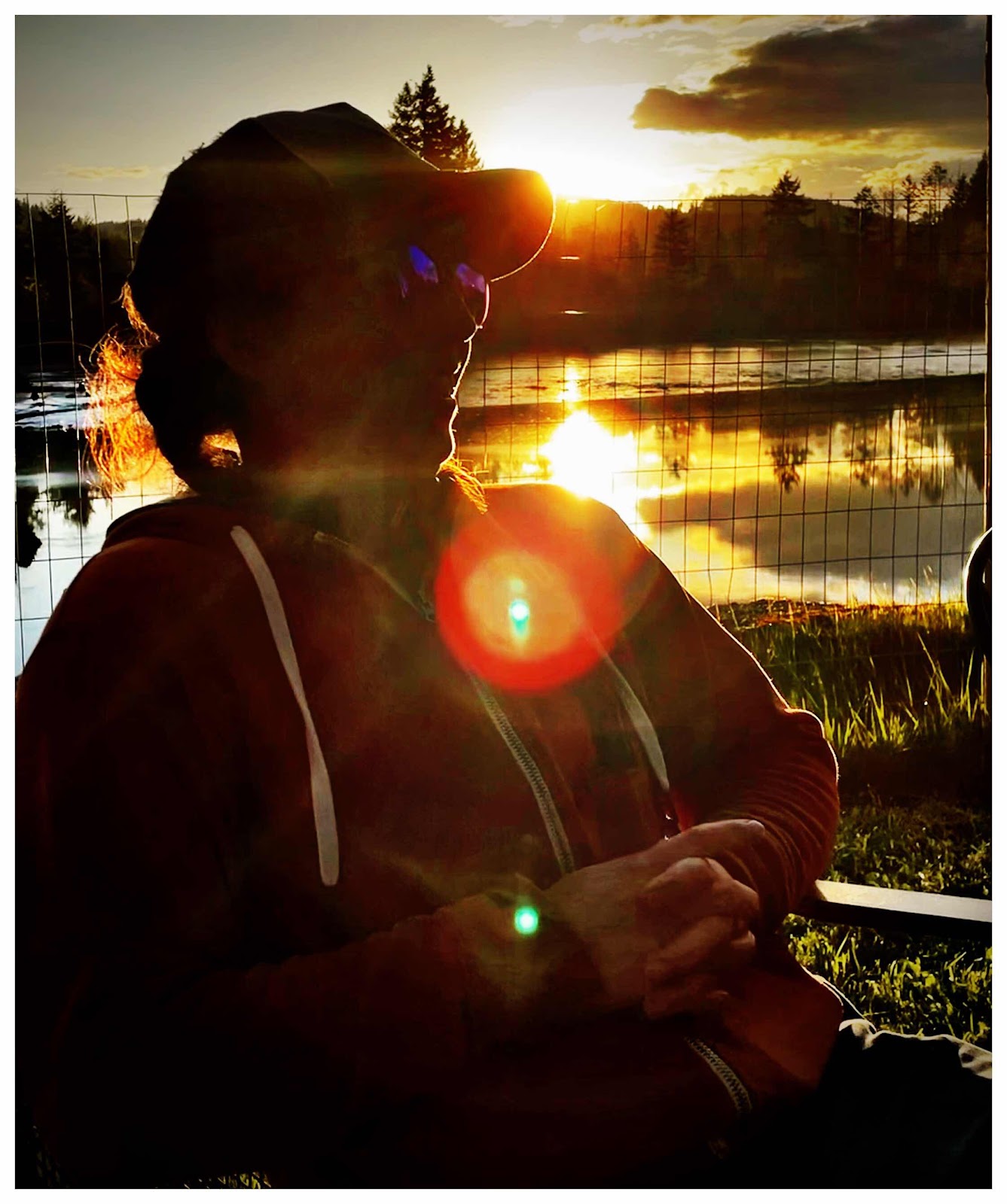
The sun setting on Katie and a successful bikepacking trip! (Photo by Catherine)