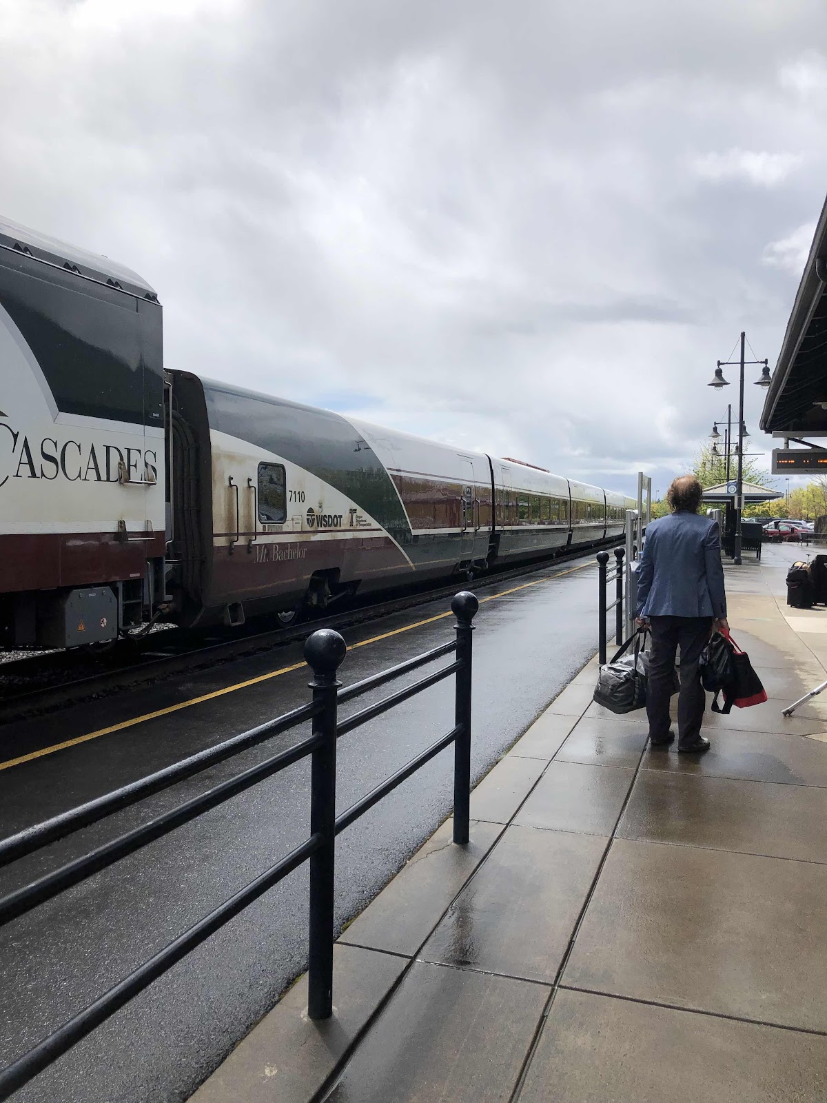
When I got to the train station this morning, the train was 7 minutes late, then 15 minutes late. But, just like last time, it ended up arriving on time.
Sly ready for his first train ride!
I walked Sly to the baggage car, and handed him up to the baggage guy. First he told me to take off the panniers, but when I told him they were empty (just the buckets), he said it was okay. I did put my helmet in one. Maybe that’s what he was looking at.
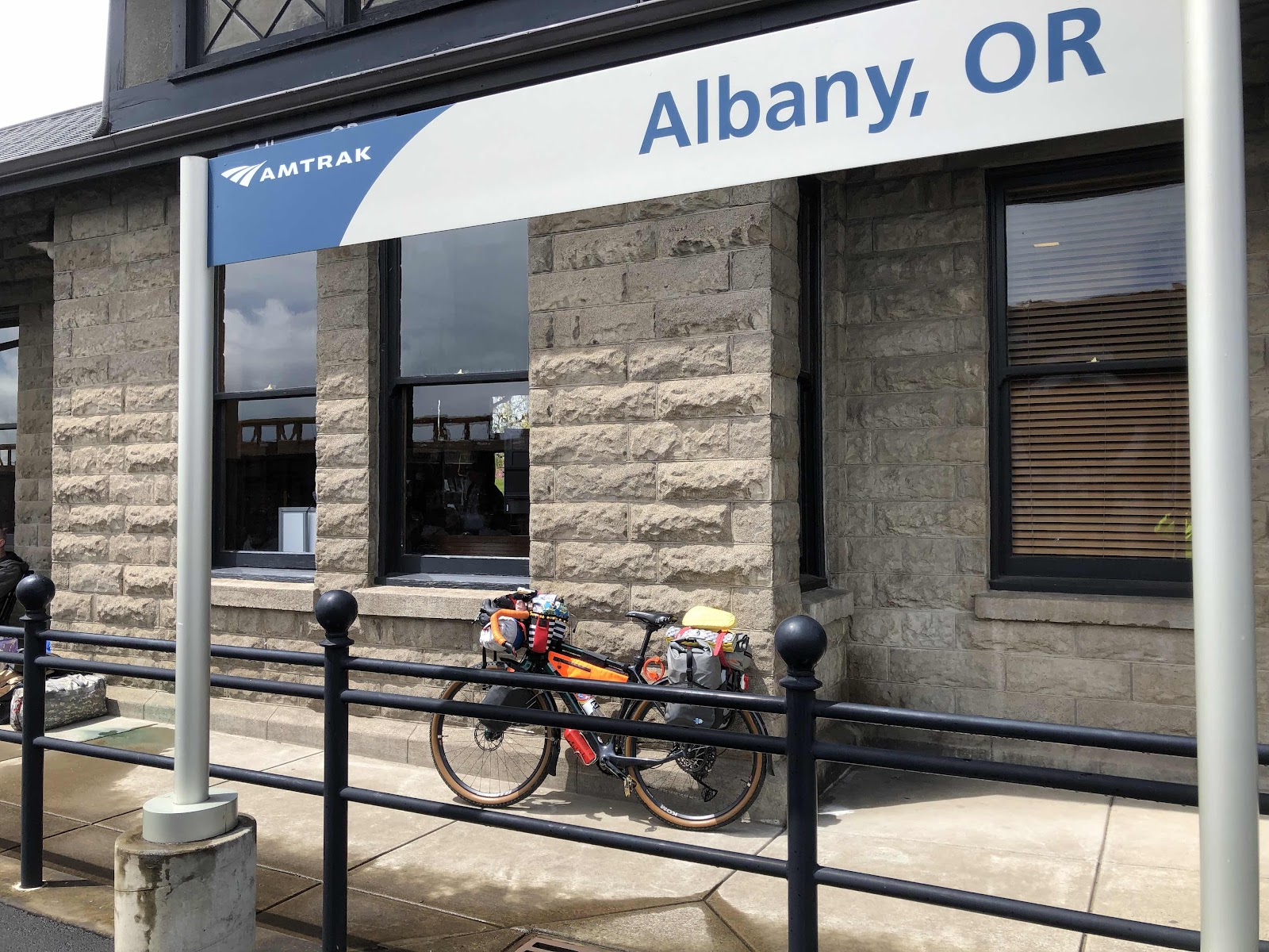
The train ride was fine, but we ended up getting into Albany about 10 minutes late. Still, I had Sly loaded up and ready to go at the time I had hoped. I left the train station at 1:25.
Thanks for the ride, Amtrak!
Sly ready to roll.
Not far down the road, it started to rain. I donned my poncho which, of course, turned the rain off. I took the poncho off, and…well…you know…but I waited for awhile, thinking maybe it would stop. It did, but when I got to Corvallis, I could see in the direction I was heading that it was definitely raining. I put the poncho back on.
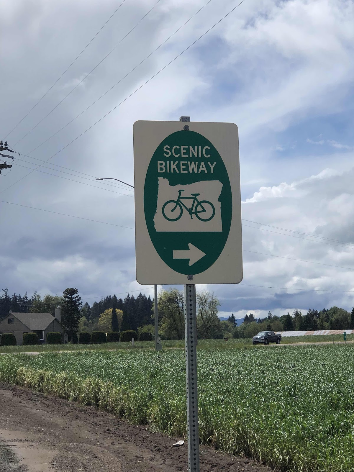
I loaded up the C2C route on the Garmin, and headed out of town.
On the way to Corvallis, but only for a short time.
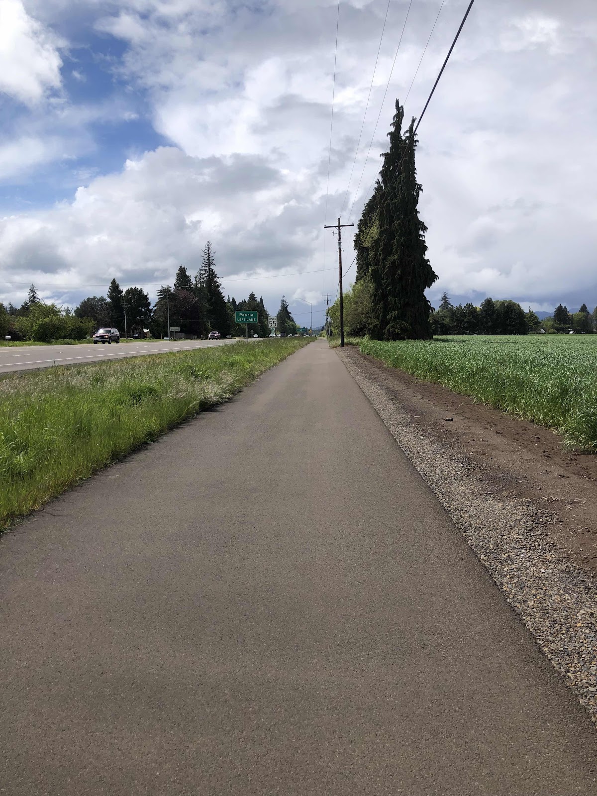
Lovely bike path to Corvallis

The actual beginning of the C2C route.
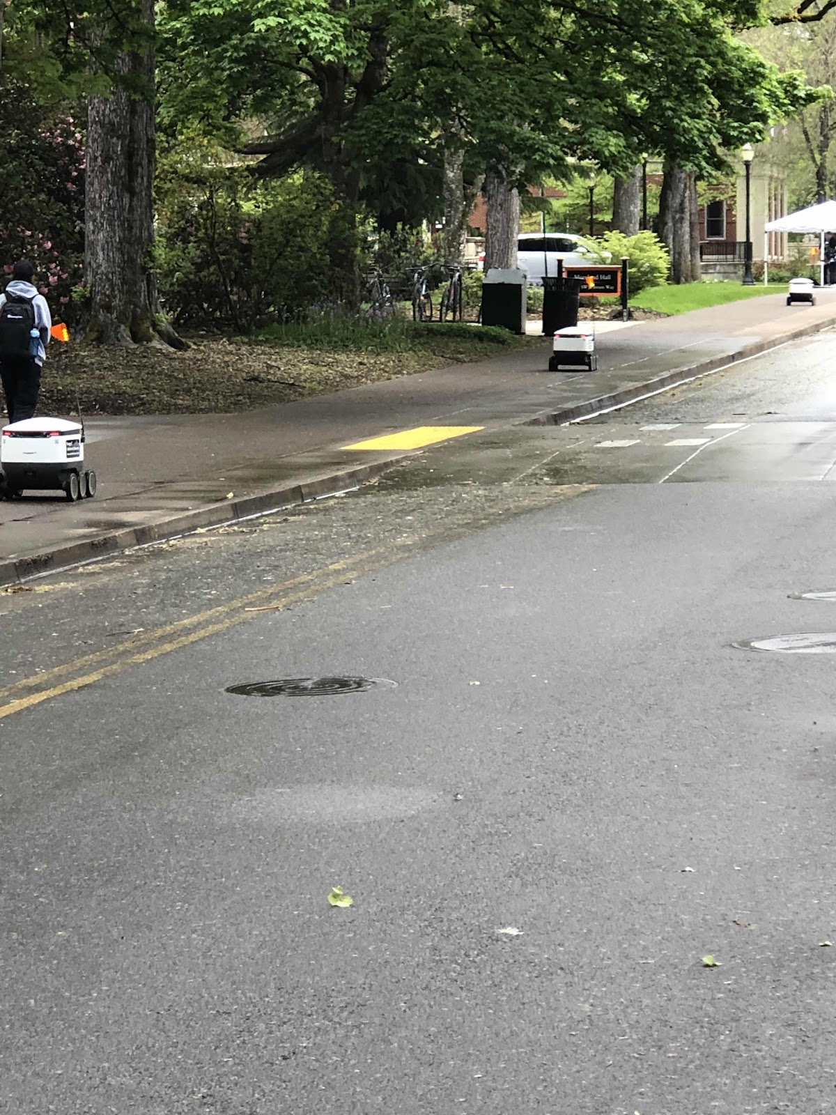
Rode through OSU campus. There were all these food delivery robots!
Once through campus, I picked up another bike path that went by this covered bridge.
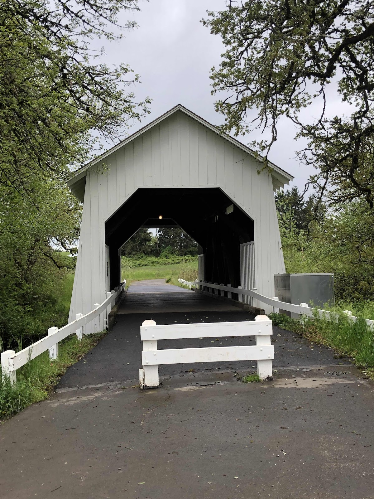
I could see that I could go on the bridge, and return to the route on the other side, so I did!
There was more zig zagging through residential-ish streets, past a middle school (just as school was getting out…yay for lots of traffic), then over to Hwy 20 to do a detour around a closed portion of the route. Fortunately, the Hwy 20 part was only 2.9 miles. It was kind of busy, but a fairly decent shoulder.
The detour route turned onto Woods Creek Rd, which was the beginning of a lengthy climb. Once the road turned to gravel, my Garmin kept telling me to make a U-turn. But, I knew I was on the route I had created, so I kept going. The Garmin continued to tell me to make a U-Turn for the rest of the ride. I have no idea why it was doing that because the route on my phone showed me I was going the right way.
After the detour, there were C2C signs, so it was pretty easy. Plus, I could sometimes see 4 distinct tire tracks. They were Bob, Sue, Janet, andThomas’ tracks.
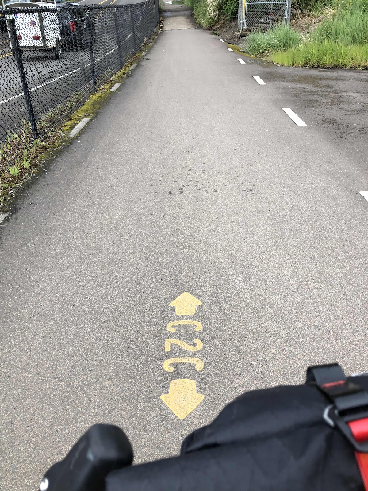
Signage of the paved path out of Philomath
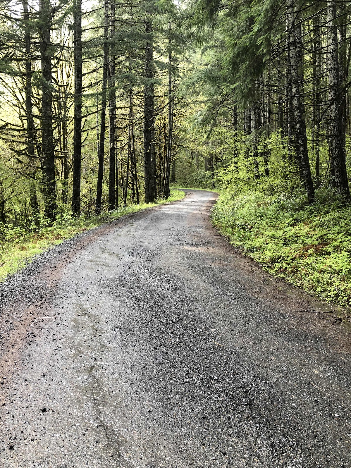
Woods Creek gravel road.
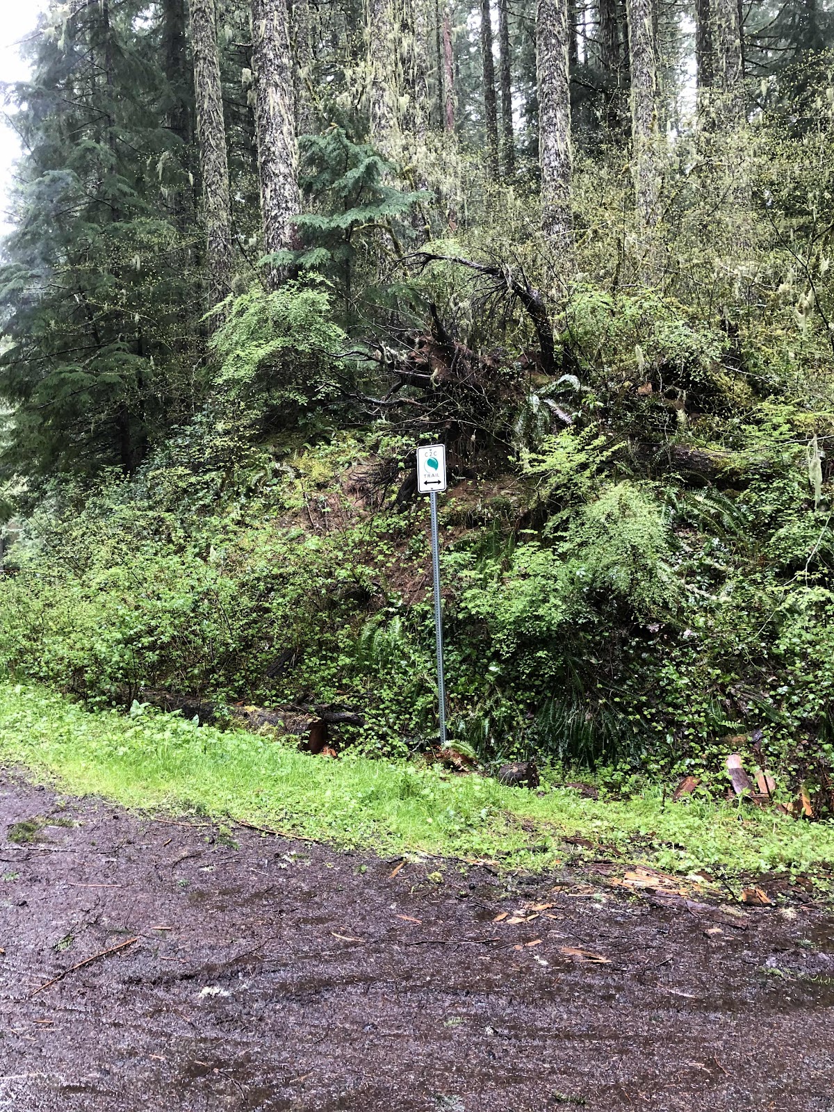
C2C sign
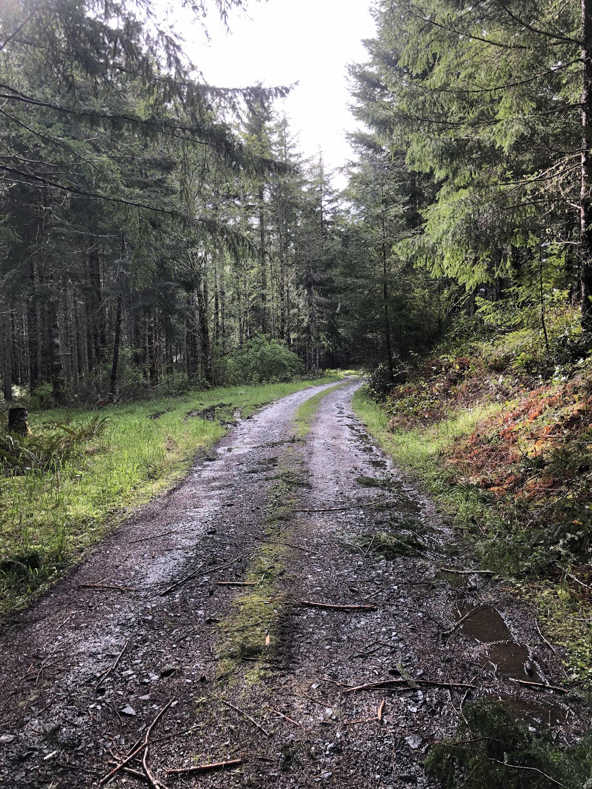
Hmmm…getting a little muddy.
As I continued to follow the signs, the route turned into a decommissioned road that became singletrack…very muddy singletrack. I am NOT a fan of singletrack, AND I am NOT a fan of mud!
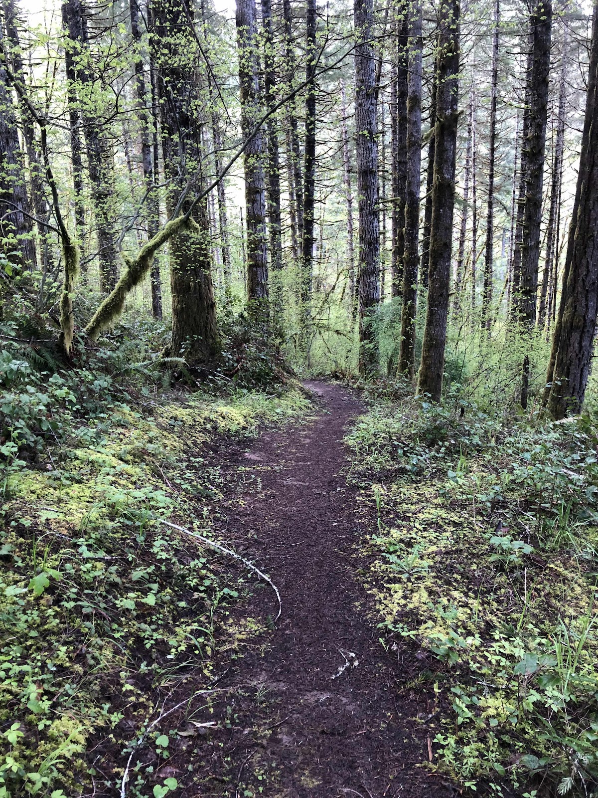
This part wasn’t so bad.
I did a lot of scootering with one foot out (always my left foot, which means my left foot got soaked). At least it had finally stopped raining, and I was able to take the poncho off.
After what seemed like an eternity, I finally popped out onto a double track, then a proper road. It followed along a valley. It was quite pretty.

How green is this valley?
With just a few miles to go, I heard the dreaded pssst sound of a puncture. I stopped to find sealant spraying out of my rear tire. I laid Sly on his side and grabbed my Dynaplug. But, then it sealed! Yay for tubeless! The tire wasn’t even that low, so I just continued on.
I finally made it to Big Elk Campground at almost 7:00. Turns out the others had not been there that long before me (even though they started at about 10:30. They had a few problems getting out of Corvallis (even though I gave them the route…).

Sue, Bob, Janet, and Thomas
I went to add air to my rear tire, but it wasn’t working. I put a plug in the hole after all, and it seems to be holding air. Might have to add a bit more air in the morning.
No comments:
Post a Comment