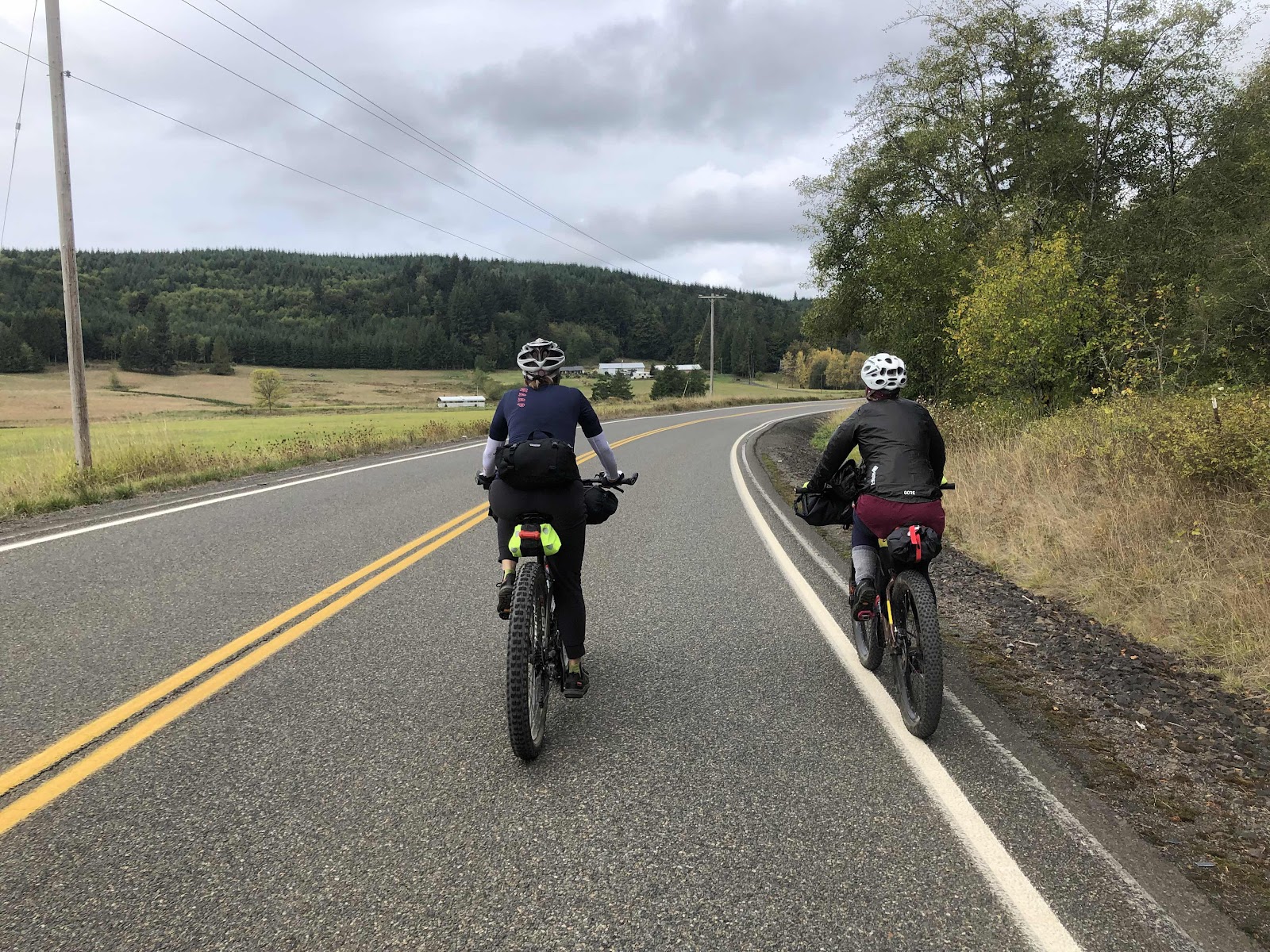
The First 30 Miles
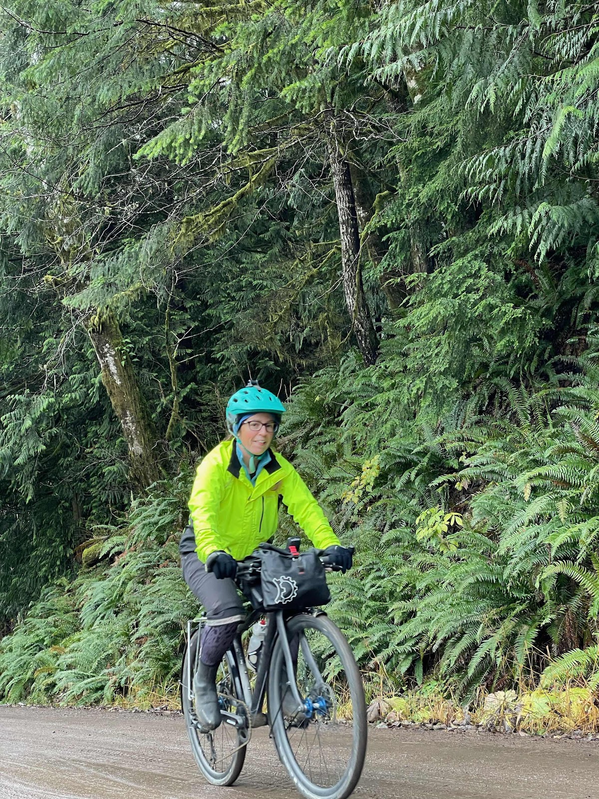
The weather forecast was calling for 100% chance of rain for 100% of the time. Still, 14 people showed up to ride with me! As I say, “Never a bad day to ride, just bad clothing!”
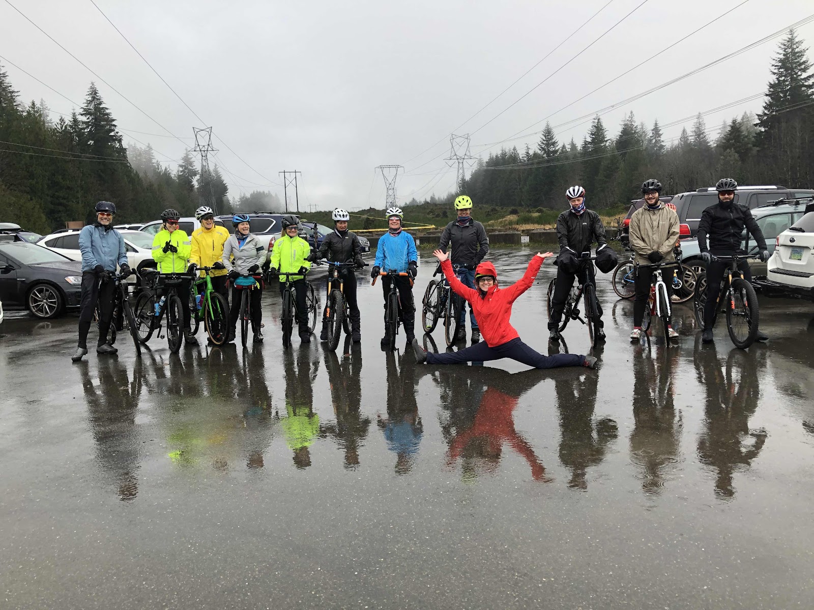
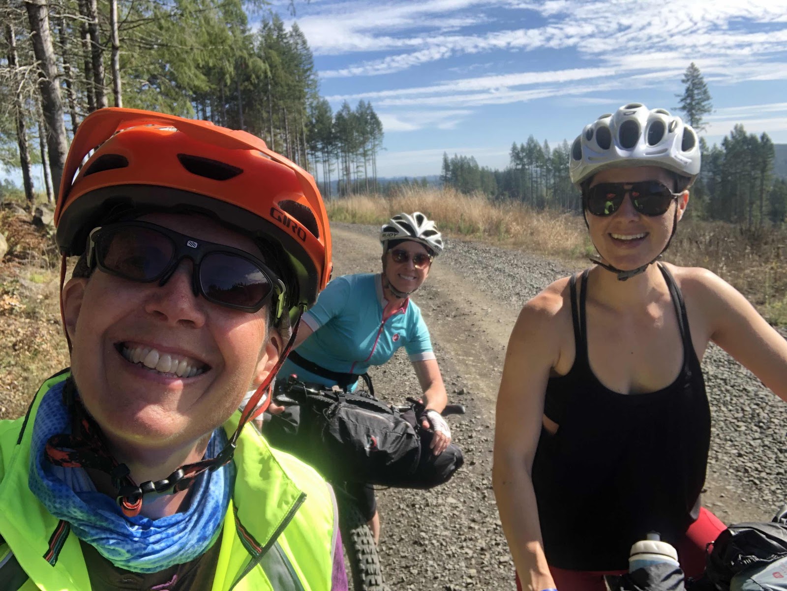
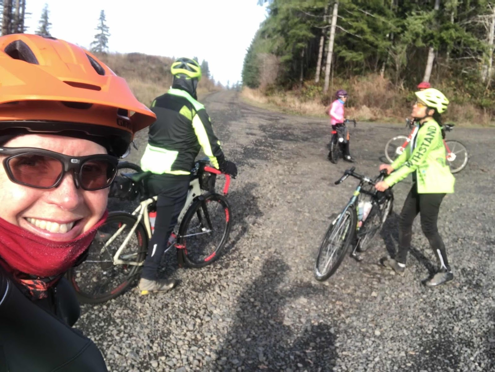
LtoR: Jay, Sarah, Linda, Jean, Cindy, Makaela, Beth, Erin, Bethany (doing the splits!), Curtis, Porter, and Vince. One woman, Idae, was still getting ready.
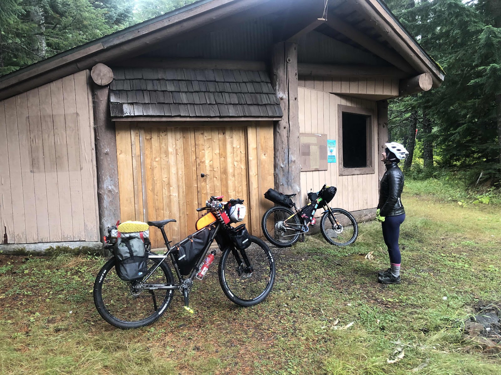
A 30 mile ride on a very rainy and cold day is a lot, let alone a gravel ride. The route included two shorter options. I was really the only one who had to do the 30 mile route.
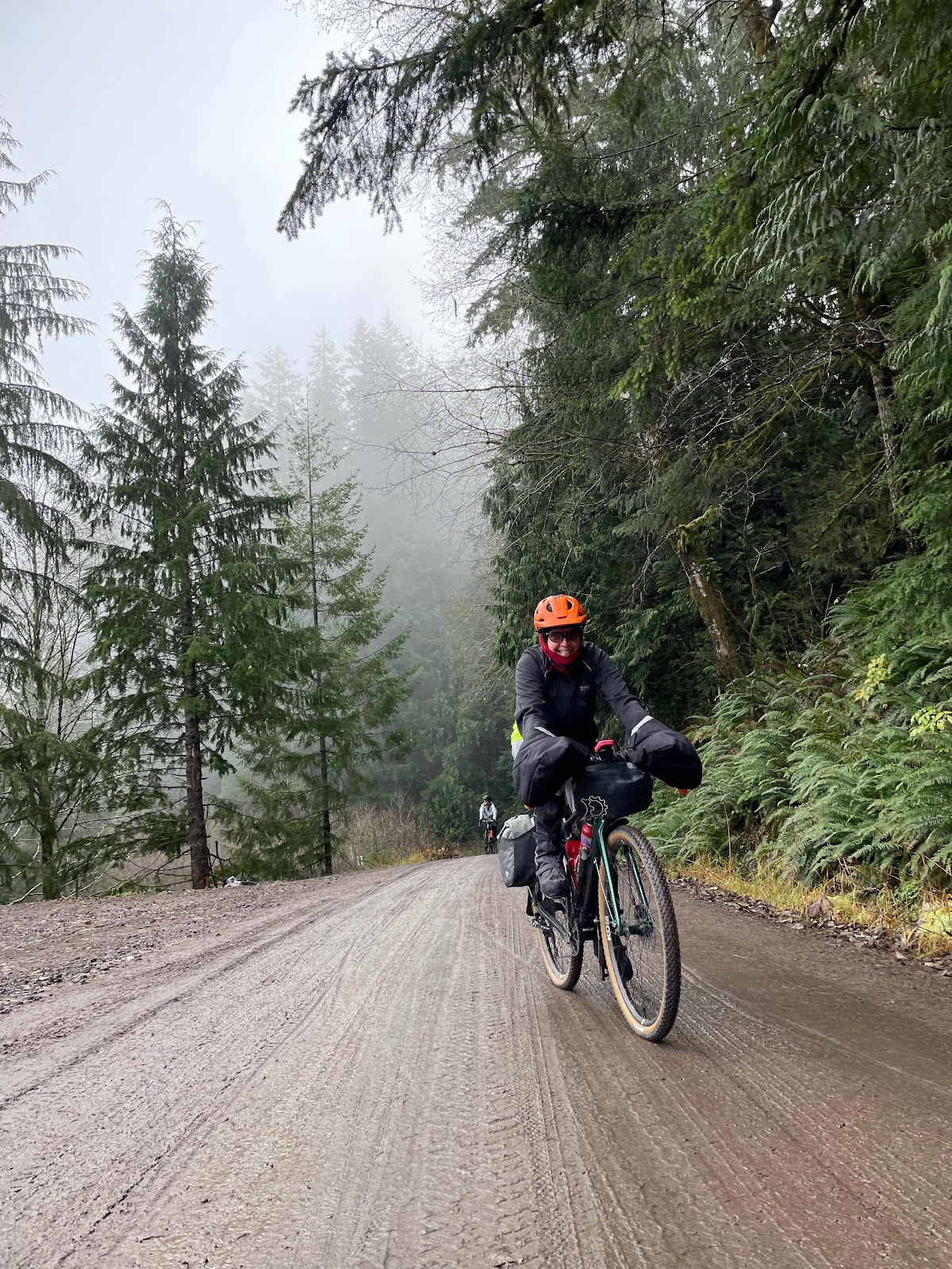
We headed up the B-Line. At the KC-Line, the three who had opted for the shorter option continued straight, and the rest of us turned right. As Linda and I were going down KC 1000, Curtis went flying by. I saw something white come flying off his bike. I thought he had dropped something. Turns out, he got a puncture in the sidewall of his rear tire, and that white was sealant spraying out of his tire! Someone thought his tire had a big gash, but it was just a puncture. I told Curtis he could plug it, but he had already unseated the bead, so he had to put a tube in.
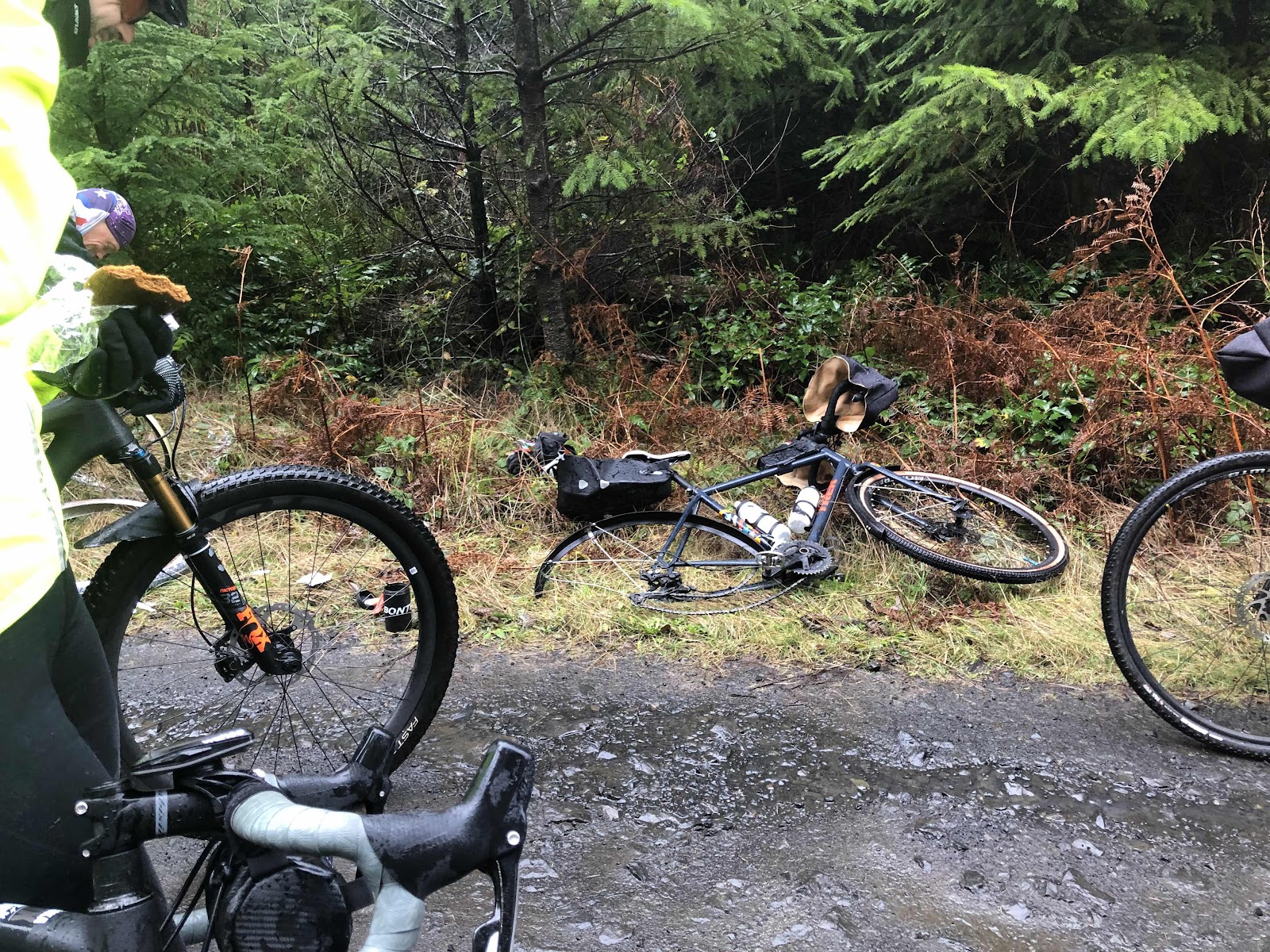
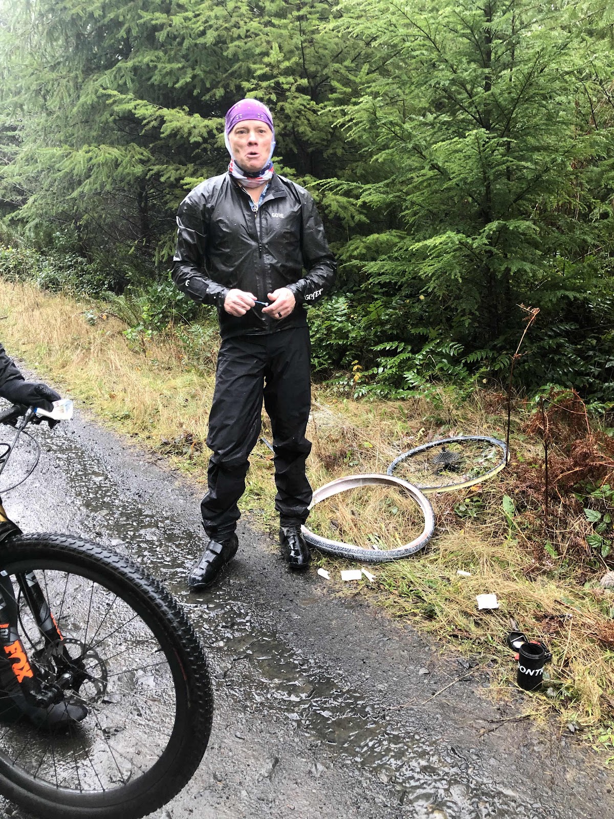
All that white stuff around the tire is sealant. Makes quite a mess (which is why I will do everything possible to avoid putting a tube in).
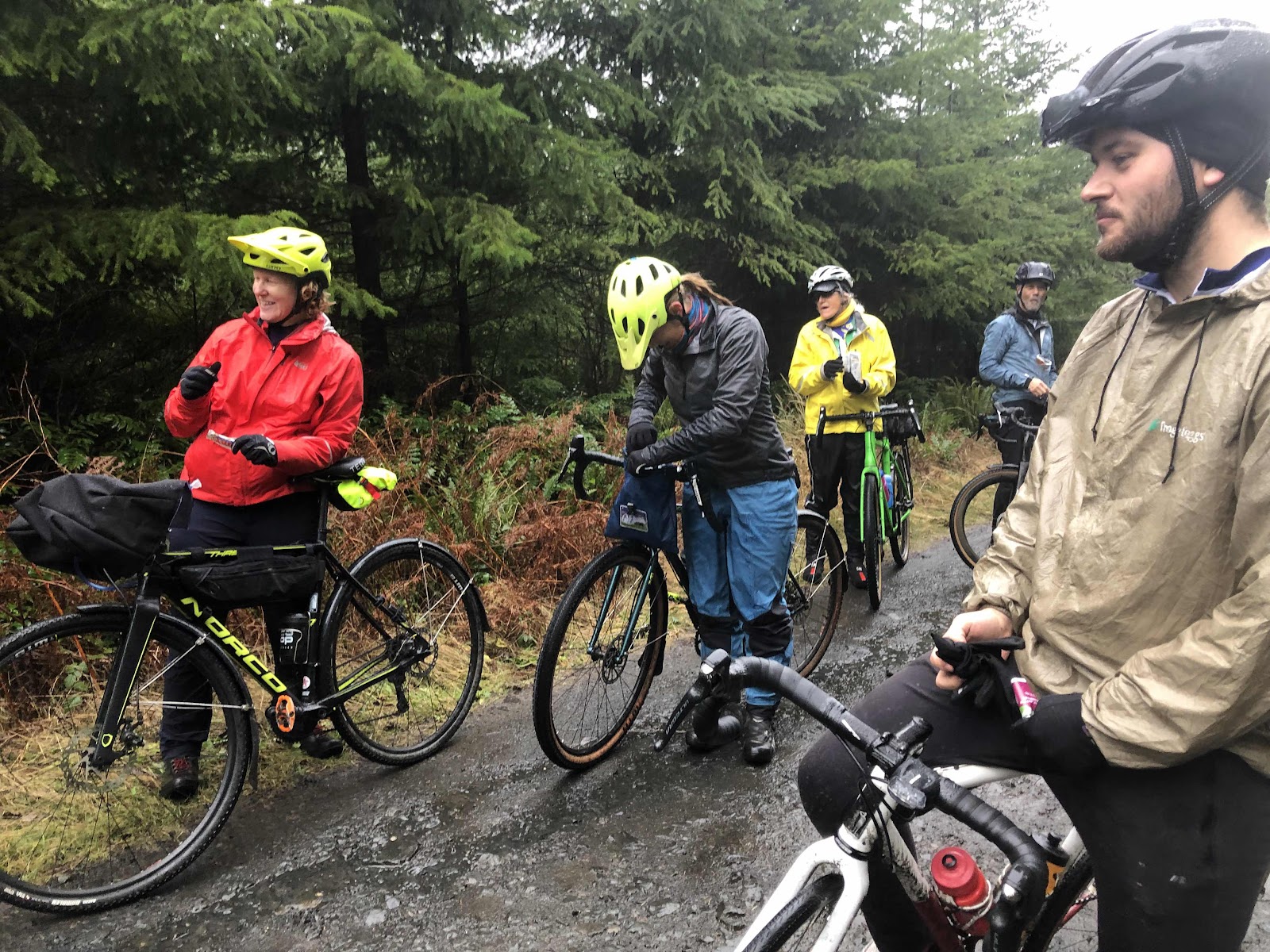
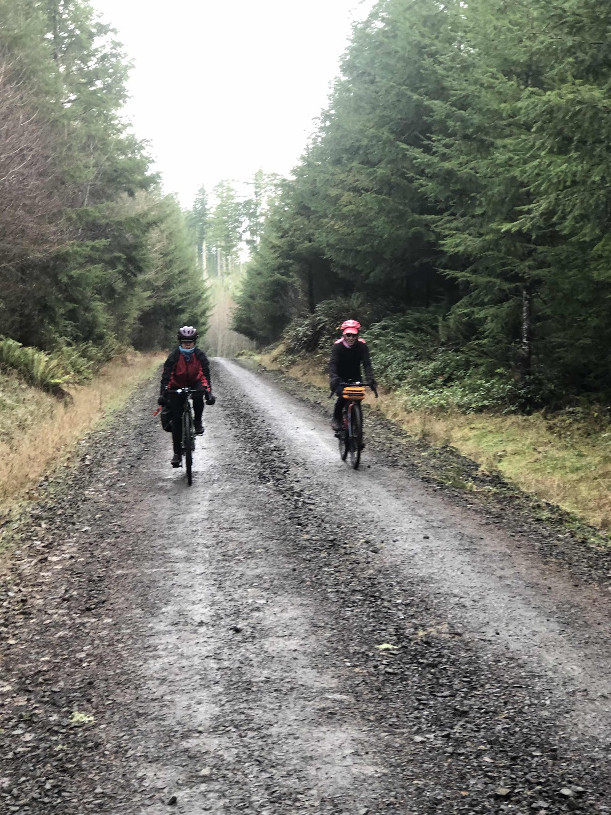
Always nice to have an audience!
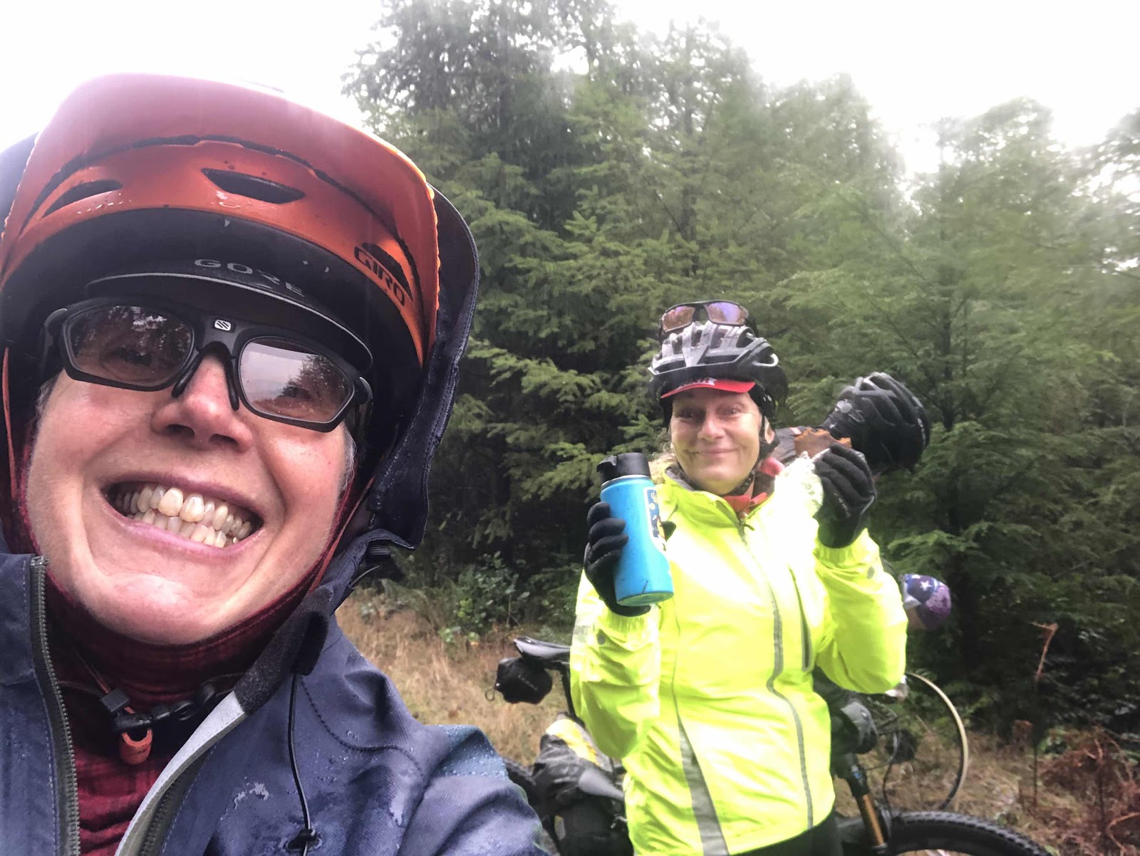
Also a good opportunity to have a snack!
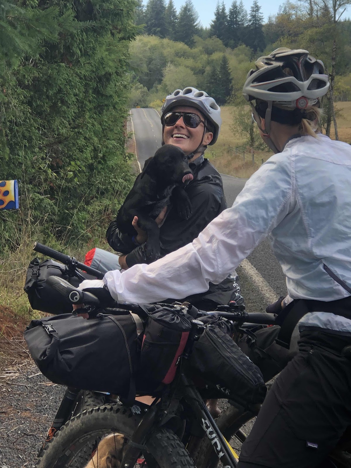
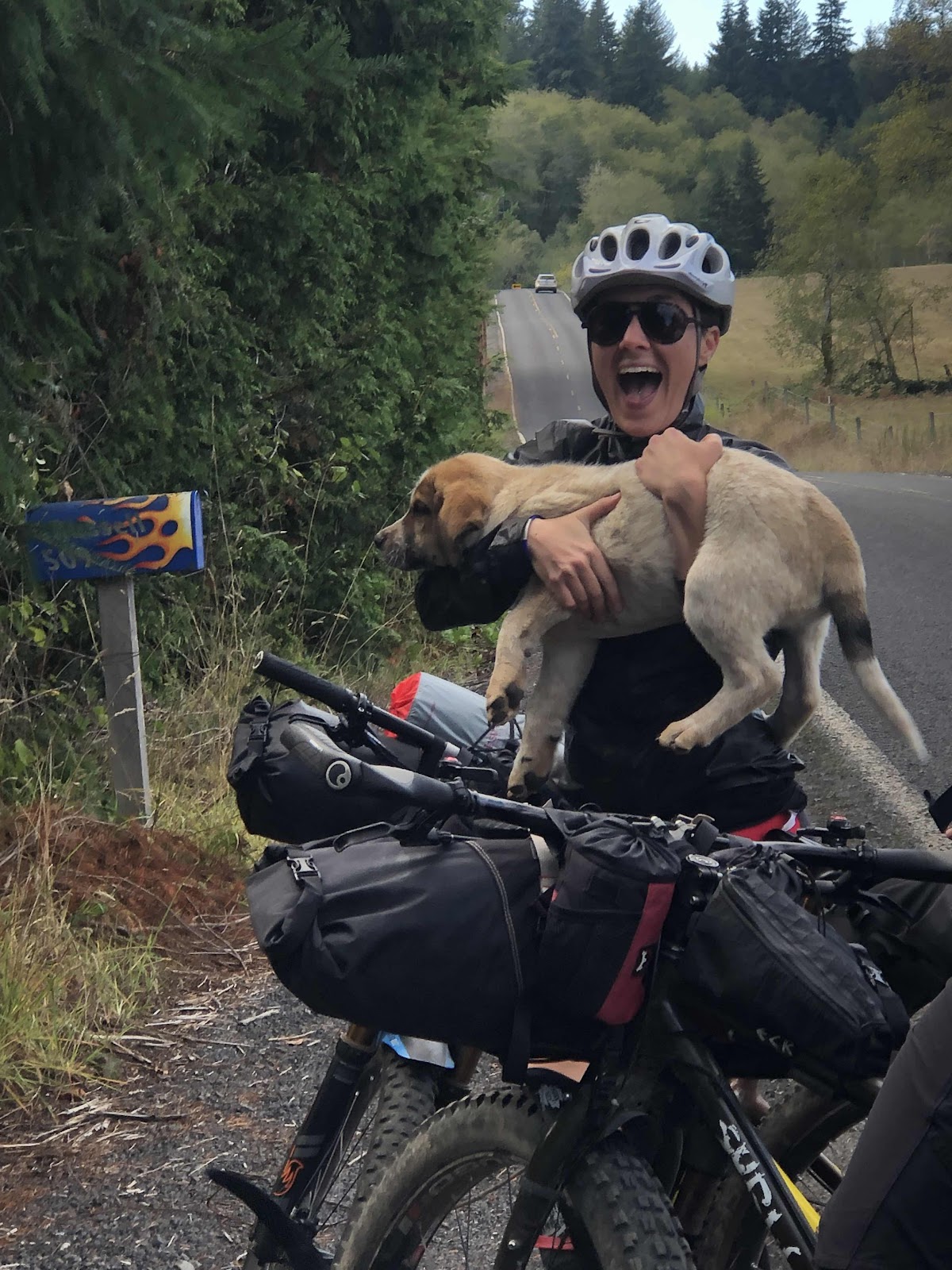
Curtis got everything fixed, and we continued down toward the A-Line. At the bottom of A5000, there was a party going on! It was a bunch of mountain bikers celebrating one of their own’s 47th birthday (such a baby).
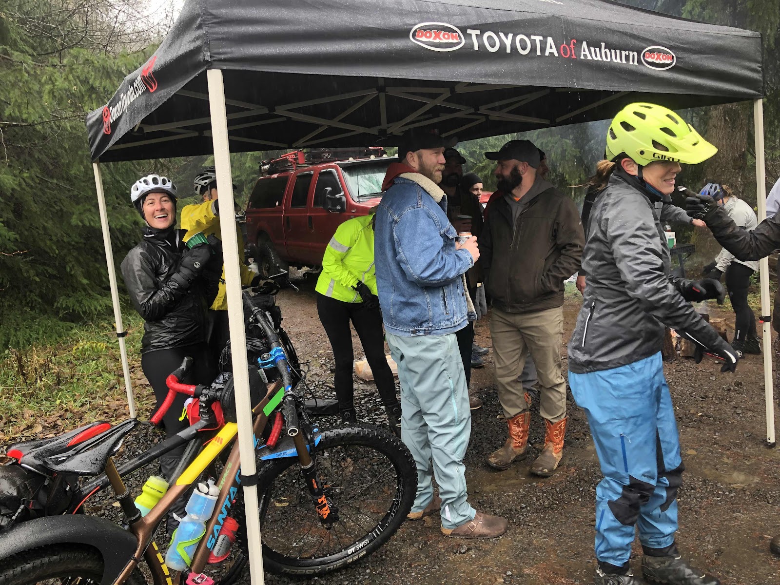
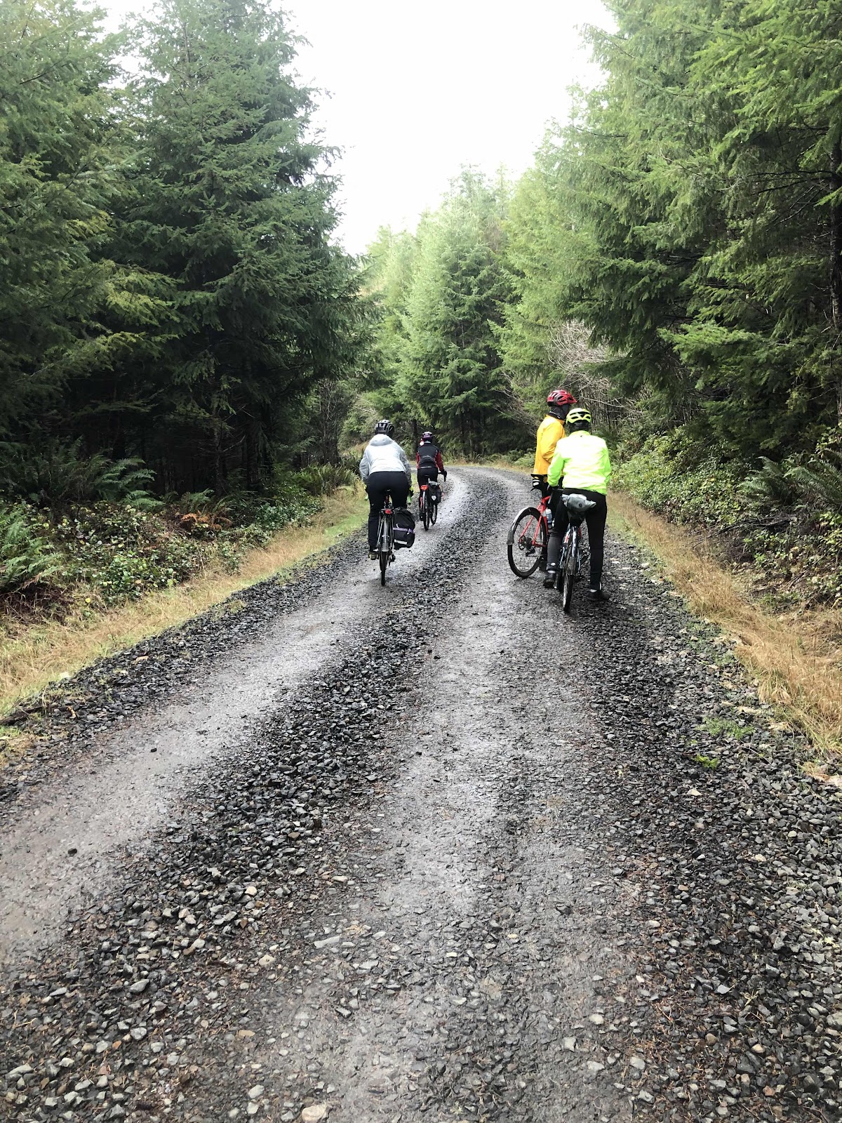
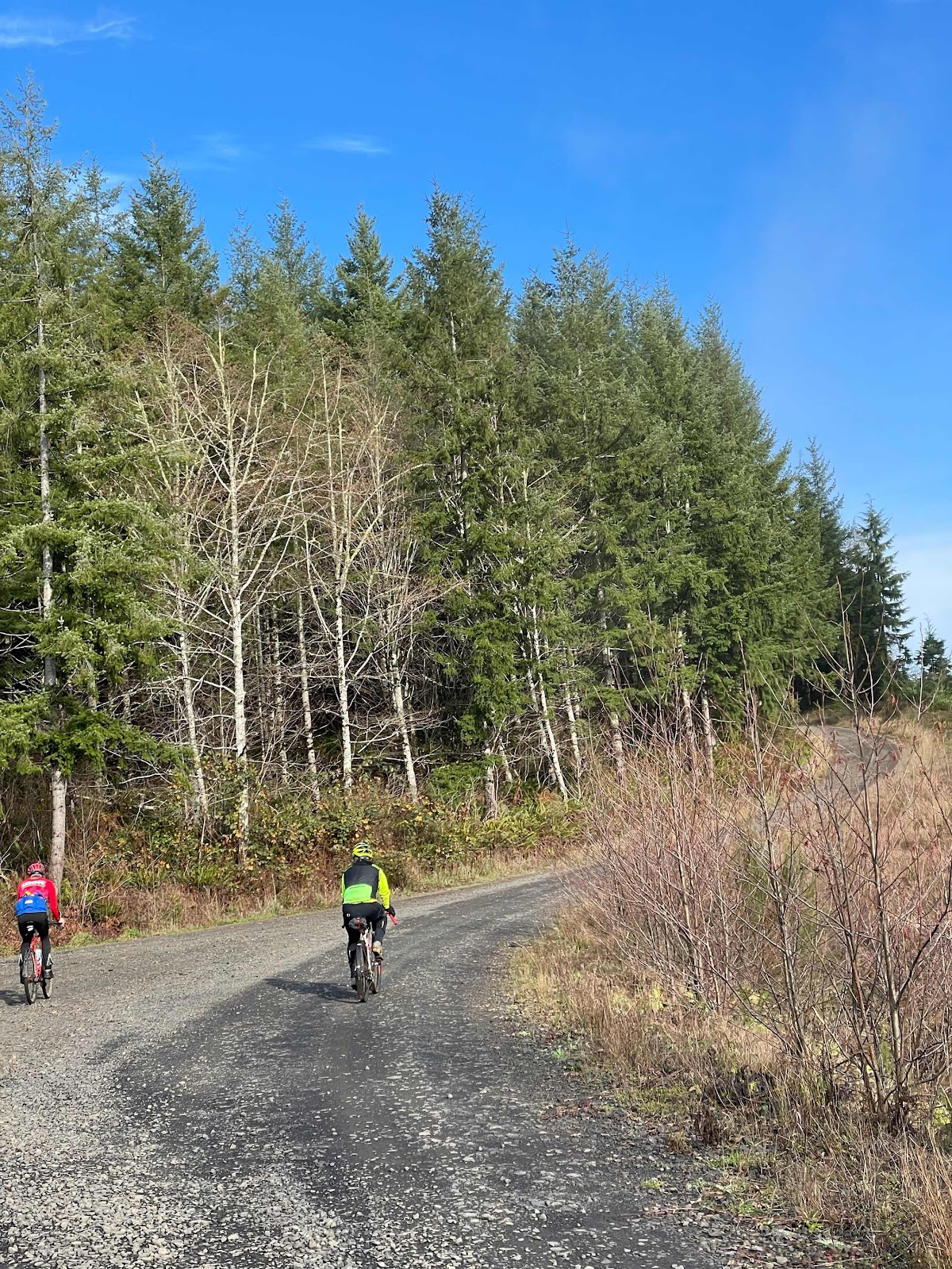
They had a fire going along with some whiskey, beer, and a cooler of ribs. Several of our group joined in while we waited for the rest to catch up. We were there for awhile as Bethany had a flat (not tubeless) on the way down A5000. After those who partook of the beverage offerings were finished (and Bethany and Curtis rejoined us), we continued onto the A-Line for a brief bit of uphill, then a long flowing downhill to the B-Line. This part of the Forest seems to be the flattest part. Yes, it was downhill, but mostly not terribly steep.
From the intersection of the A-Line and B-Line we started the long way back up the B-Line. Once you get past Porter Creek Campground, it is just a pretty long, relentless climb. We got spread out quite a bit. For much of the climb, I could see a couple of riders ahead, but couldn’t catch them. Bethany was behind me. The one good thing was that we all stayed warm when we were climbing.
I reached the turn onto B4000. Jean, Sarah, Linda, and Porter we’re waiting. The final short cut was to simply continue down the B-Line. It only saved a few miles, but more importantly, it eliminated another steep (the steepest of the day) climb. They were heading straight down the B-Line. They said Erin had turned onto B4000. I had a sneaking suspicion that when Bethany got to the turn, she would take the B-Line. Since I had to do the full 30 miles, I turned onto B4000.
The steepest climb of the day was the climb up KC-Line. As I turned to head up, I got a cramp in my hip. I refused to stop. Then the cramp worked it’s way down my inner thigh, and hamstring. Still, I refused to stop. I knew that if I got off and walked, as soon as I got back on, the cramp would come back, so I rode through it. Eventually, it gave up and went away.
I met Jay walking up the KC-Line. We rode the rest of the way together back to the parking lot. While Erin had turned onto B4000, she missed the turn onto the KC-Line. B4000 dead ends about 1 1/2 miles further down a steep hill. She turned around and came back, but her phone was acting up, sh she couldn’t open the route. She rode back to the B-Line, and down from there (she got the prize for the most miles at 33). Since Makaela, Vince, and Curtis had also taken the B-Line down, only Jay and I did the full, as planned, 30 mile route.

Back to the parking lot! (Photo by Curtis)
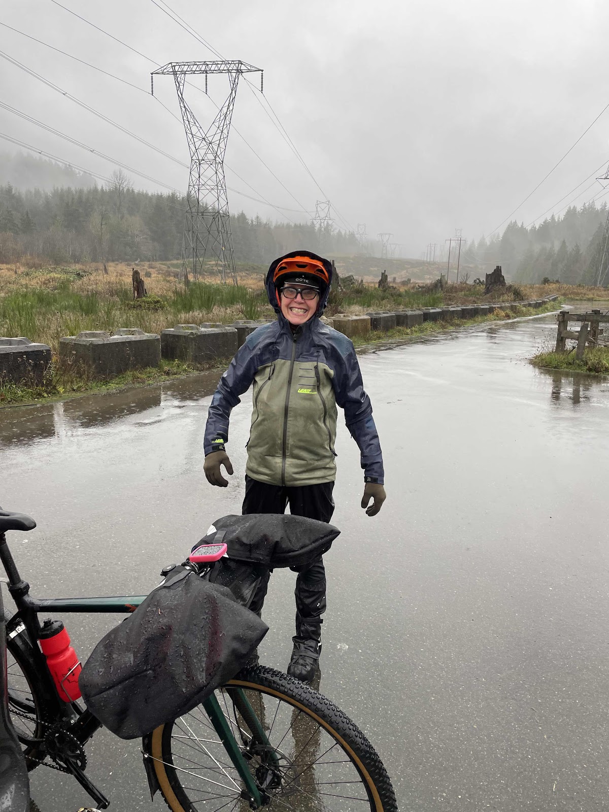
Finished!
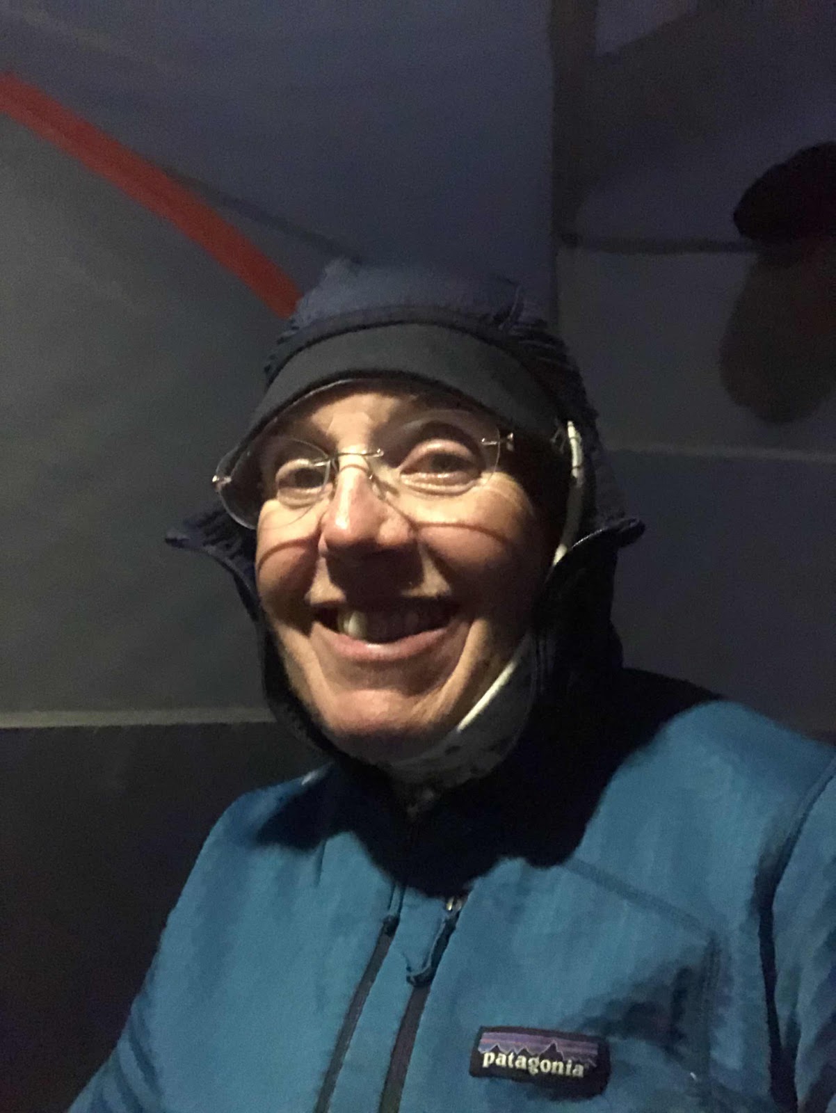
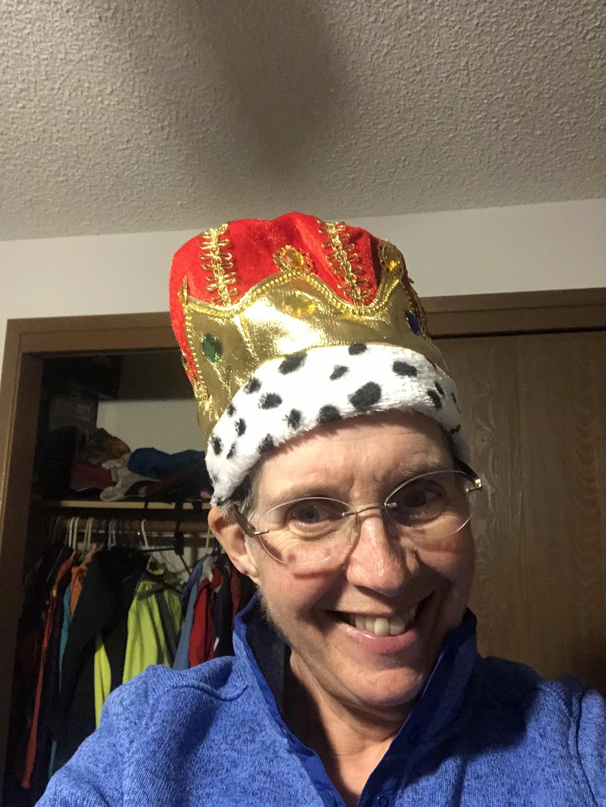
After getting out of our wet clothes, a bunch of us went to Vic’s for pizza. Bethany brought a cake, and I wore a crown. They gave me cards, and a gift card for Oveja Negra, one of my favorite bikepacking bag companies. Katie and Orlando showed up too. Unfortunately, I didn’t take any photos at Vic’s. I did take this one selfie with the crown at home.
It was the best 60th Birthday I’ve ever had! But…the weekend wasn’t over…
The Second 30 Miles
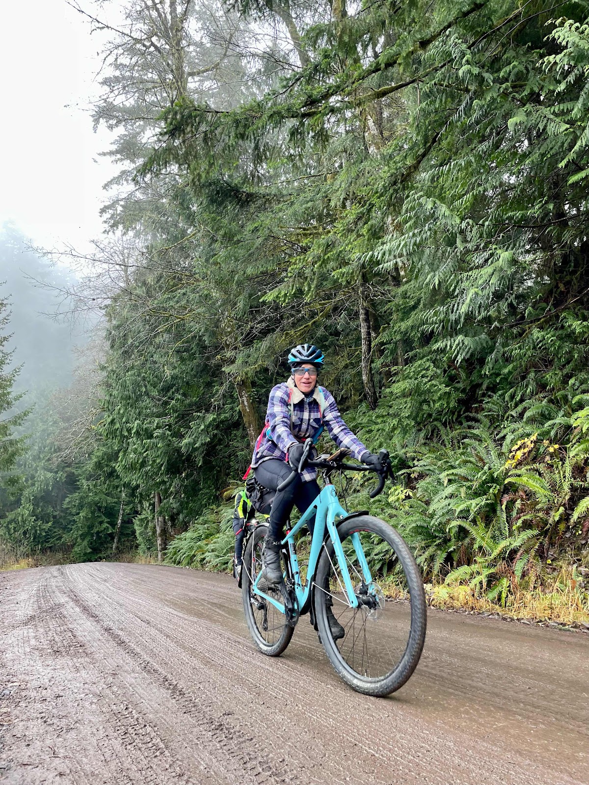
Sunday morning dawned foggy, but DRY! Jana picked me up, and we drove back out to Rock Candy. As we pulled into the parking lot, I was surprised to see so many people getting ready to ride! I knew there was going to be a handful of us, but there were 11 people! Almost as many as the previous day!
Sheila brought out a party hat for me, and took this group photo.
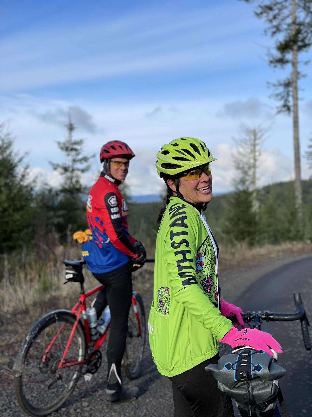
LtoR: Karen, Katie, Liz, Geraldine, Jana, Scott, me, Carrie, Stewart, Ginny, Jennifer, and Makaela. If you remember, this was to be a women only ride, but Scott and Stewart are great guys, so we let them ride with us (never let it be said we are not inclusive).
Makaela was the only one besides me who had also ridden yesterday.
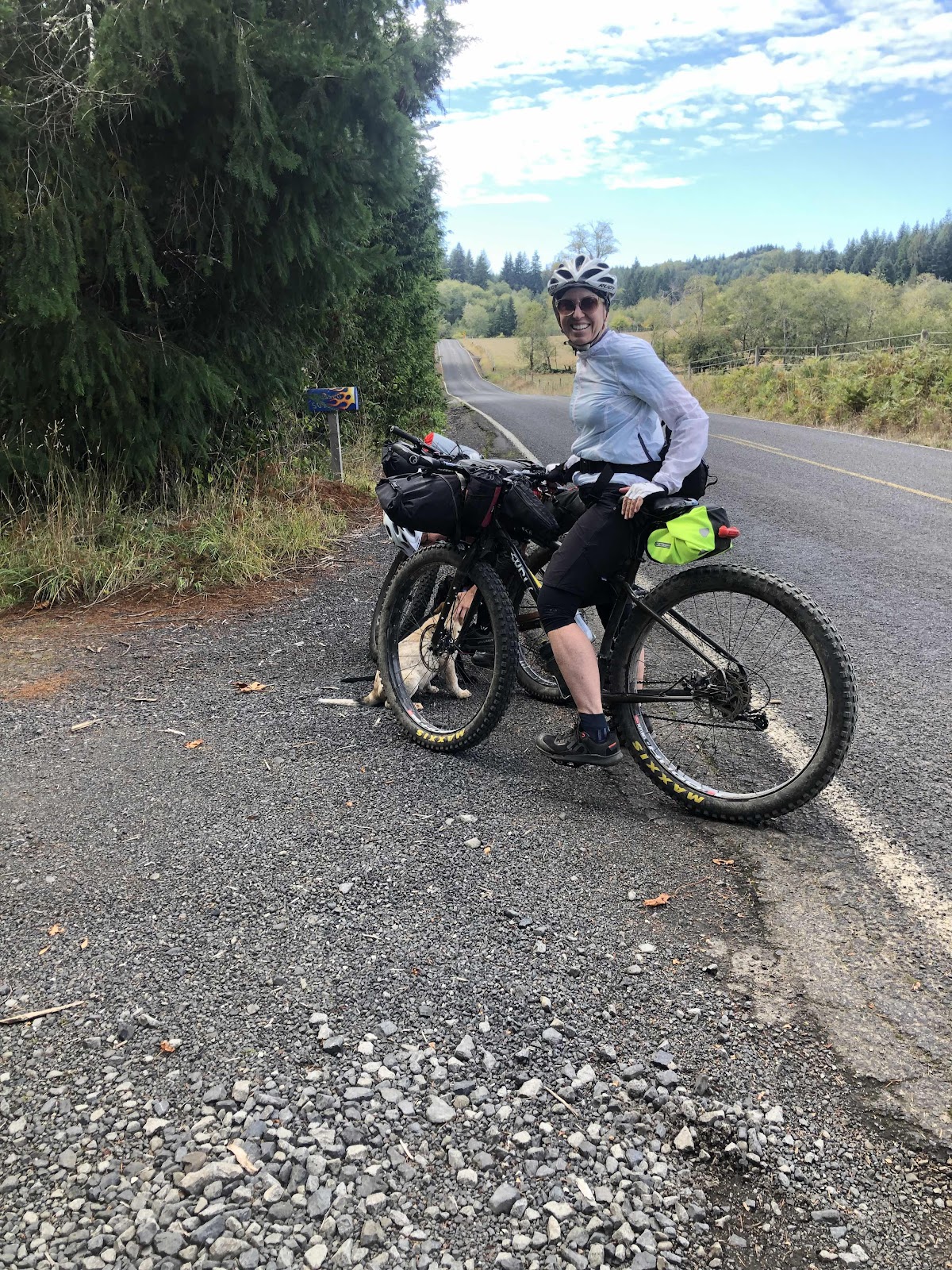
In the photo above, you may have noticed Liz’s red boots. Yep, she forgot her shoes. No problem! Her husband, Greg, who I rode with a few weeks ago, was on his way with her shoes (and his bike too)!
As we were reversing the route, the only real shorter option was the same first one of yesterday. Only today, those who would shorten would be with us longer. At the top of the B-Line, there was some confusion. Even though the route was reversed, it was still the same until we got to the KC-Line. The faster riders went past the B6000 turn, but Sheila went after them, and turned them around. We were waiting for the two women who I knew were going to do the shorter option. I wanted to make sure they made the turn onto B6000. Geraldine and Karen went back to tell them. The rest of us continued on.
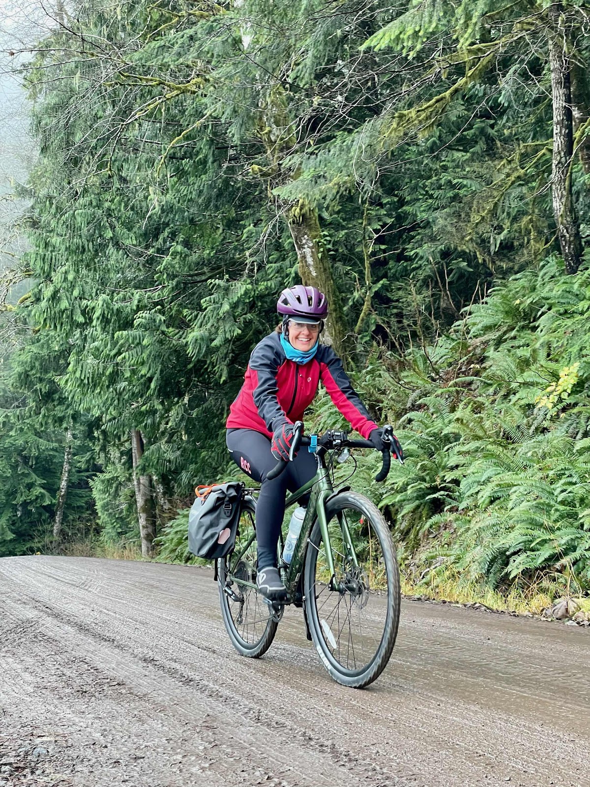
Jen climbing the B-Line
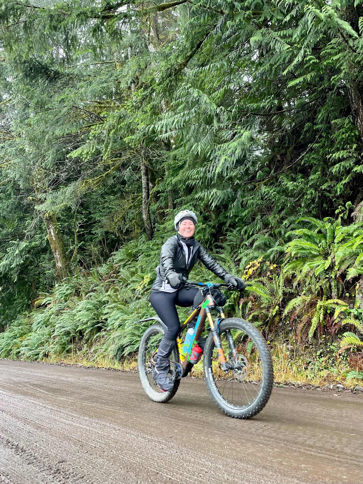
Makaela (photos courtesy of Sheila)
Katie
Karen
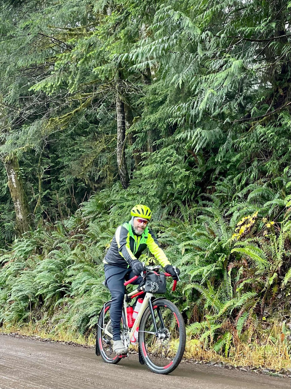
Scott
Jana
Oh, and…me (again, thanks for the photos, Sheila).
At the bottom of the KC-Line, Liz and Greg met us! They had, wisely, stayed on the B-Line to B4000. We all headed out to the B-Line, except Katie, Makaela, Stewart, Karen, and Geraldine (who had caught back up to us) who were already ahead. In fact, we wouldn’t see them the rest of the ride.
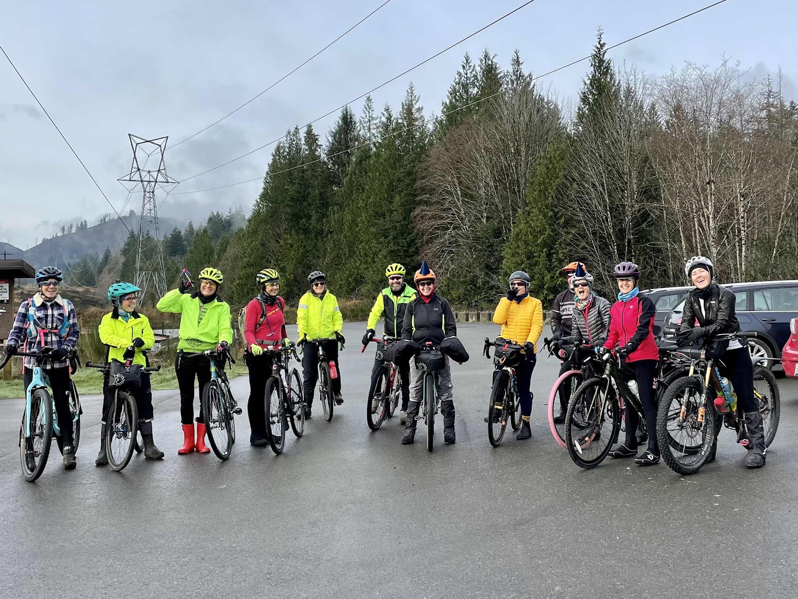
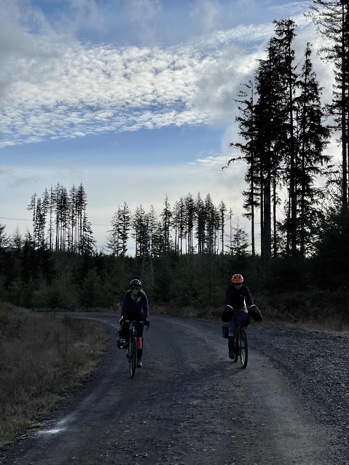
The descent down the B-Line was long (just as had been the climb the day before). There was some stoppage to put on warmer clothing as we made our way down to Porter Creek CG.
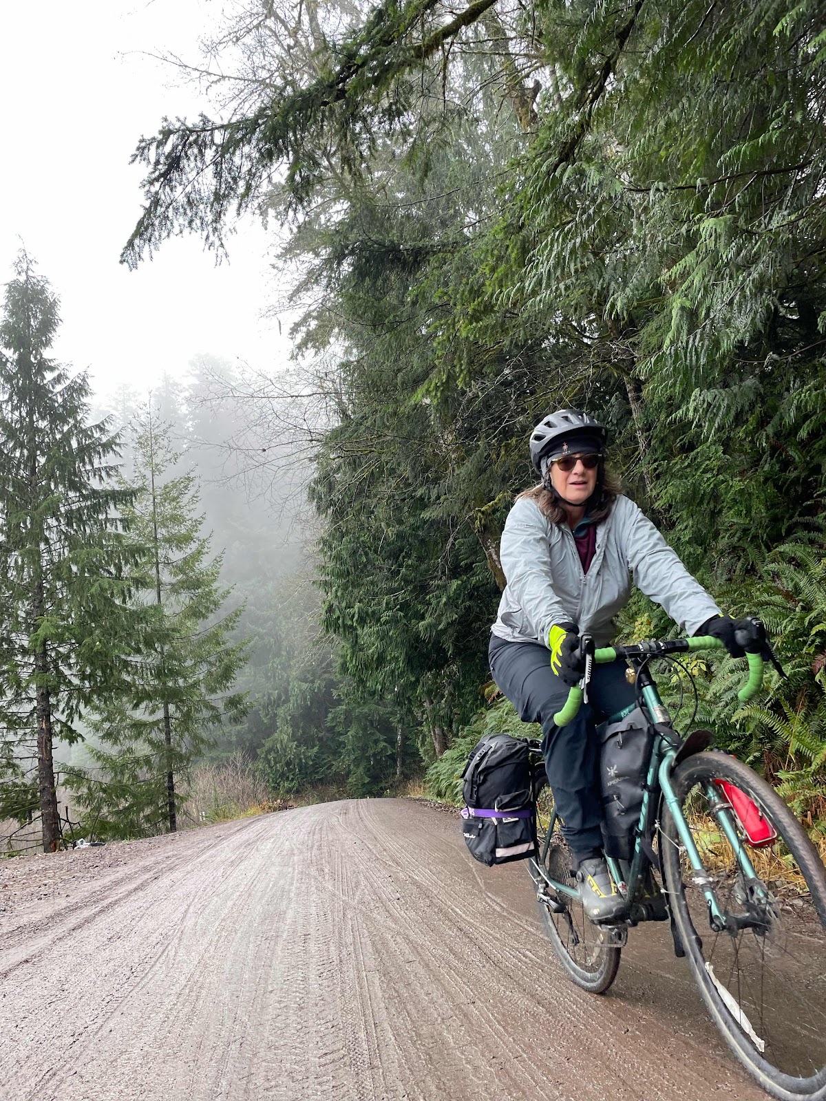
Jen and Sheila
Continuing down.
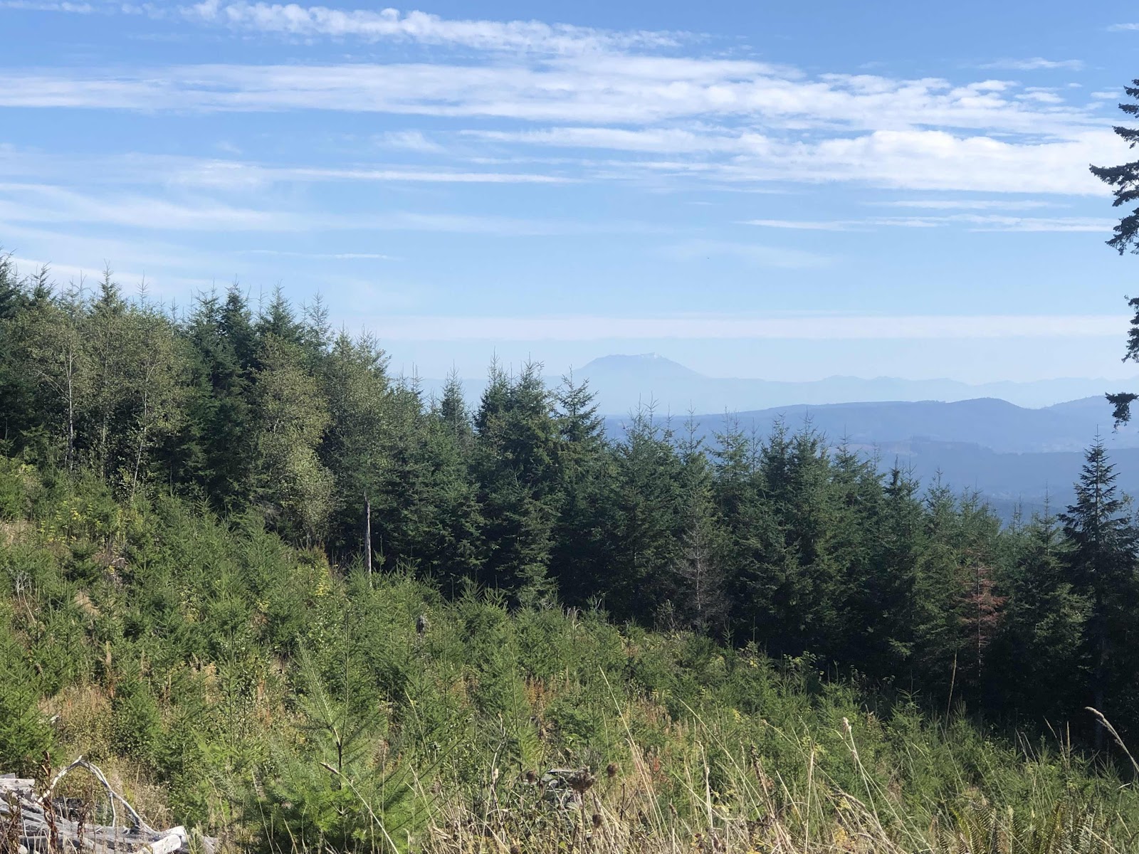
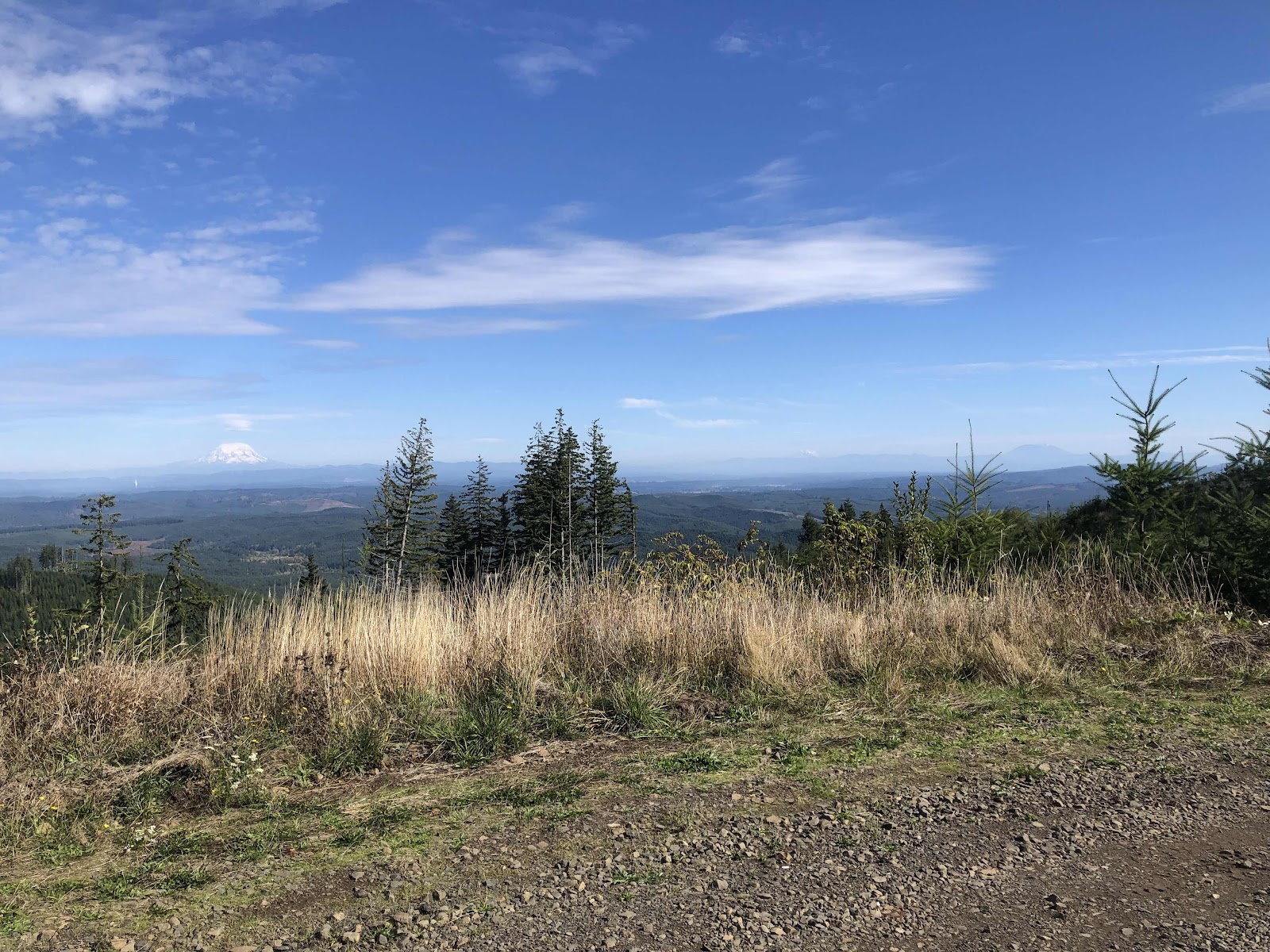
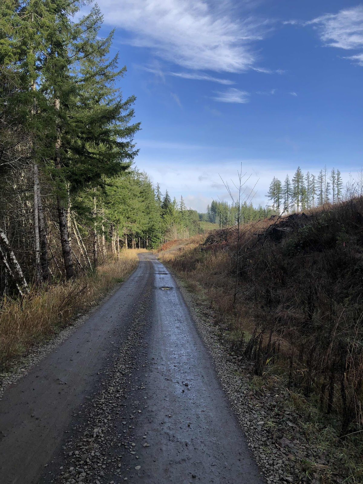
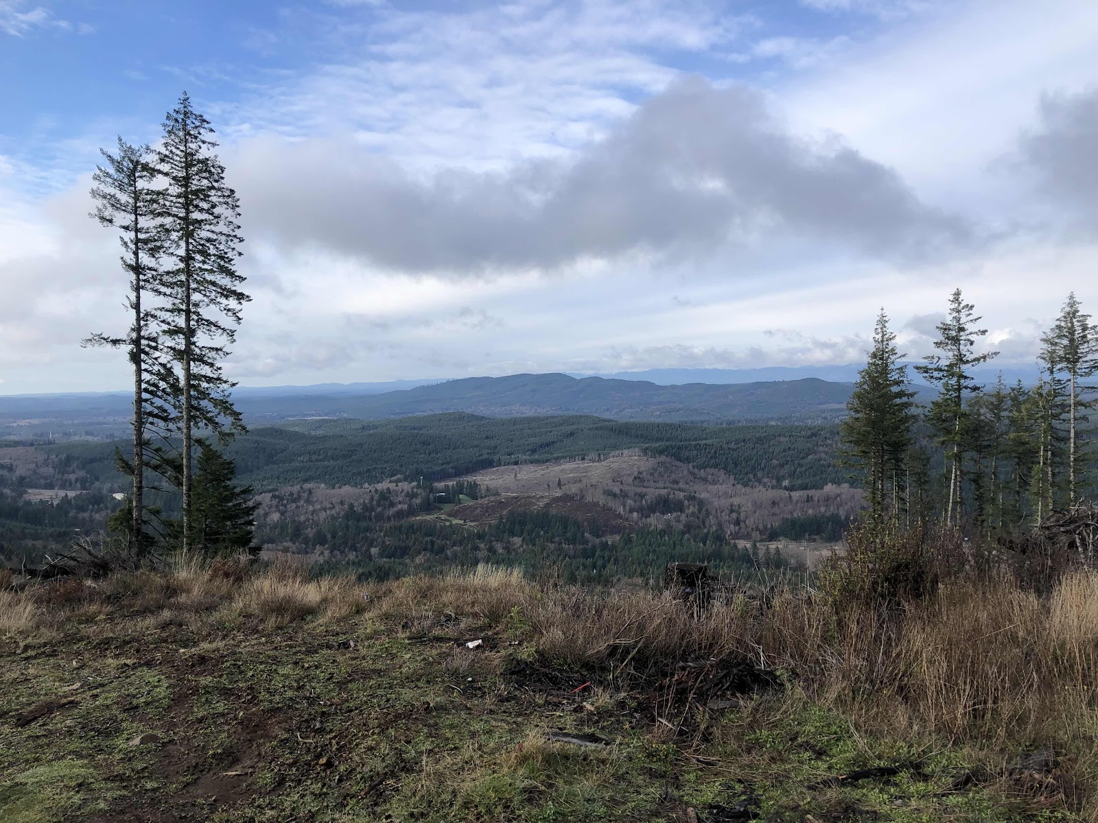
There was no worry about getting too cold, since we then started the climb (punchy in places, but overall not bad) up the A-Line. As we came to a clearing, there was beautiful blue sky and sunshine. Mind you, it’s still December, so not really warm, but the sun was wonderful!
Blue sky!
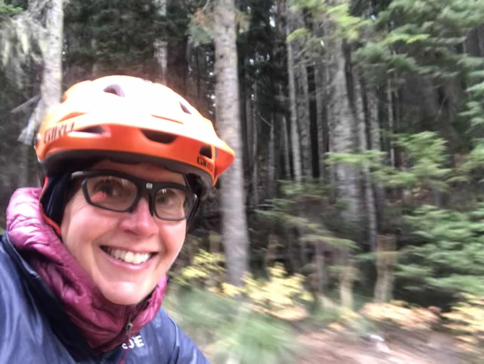
Sunshine on my helmet makes me happy!
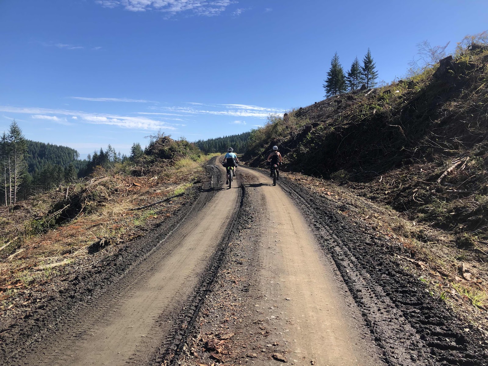
And some more climbing.
Greg and Liz enjoying the sun!
Jana and I bringing up the rear. (More photos from Sheila)
We went past the scene of yesterday’s mountain biker party as we made our way up A5000. This was the beginning of the last major climb of the day. What a difference the weather made.
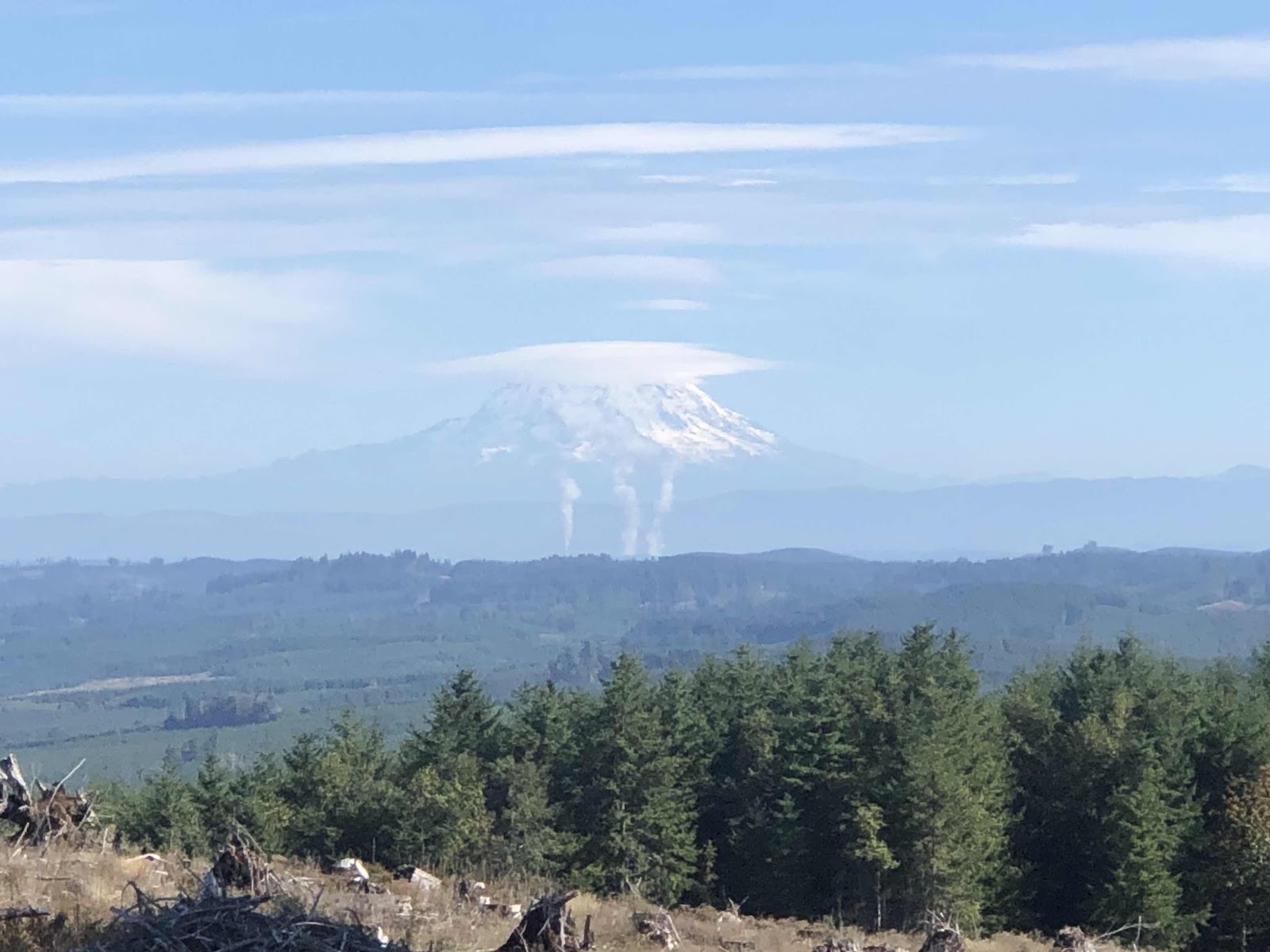
Hwy 8 is down below. Couldn’t see any of this yesterday.
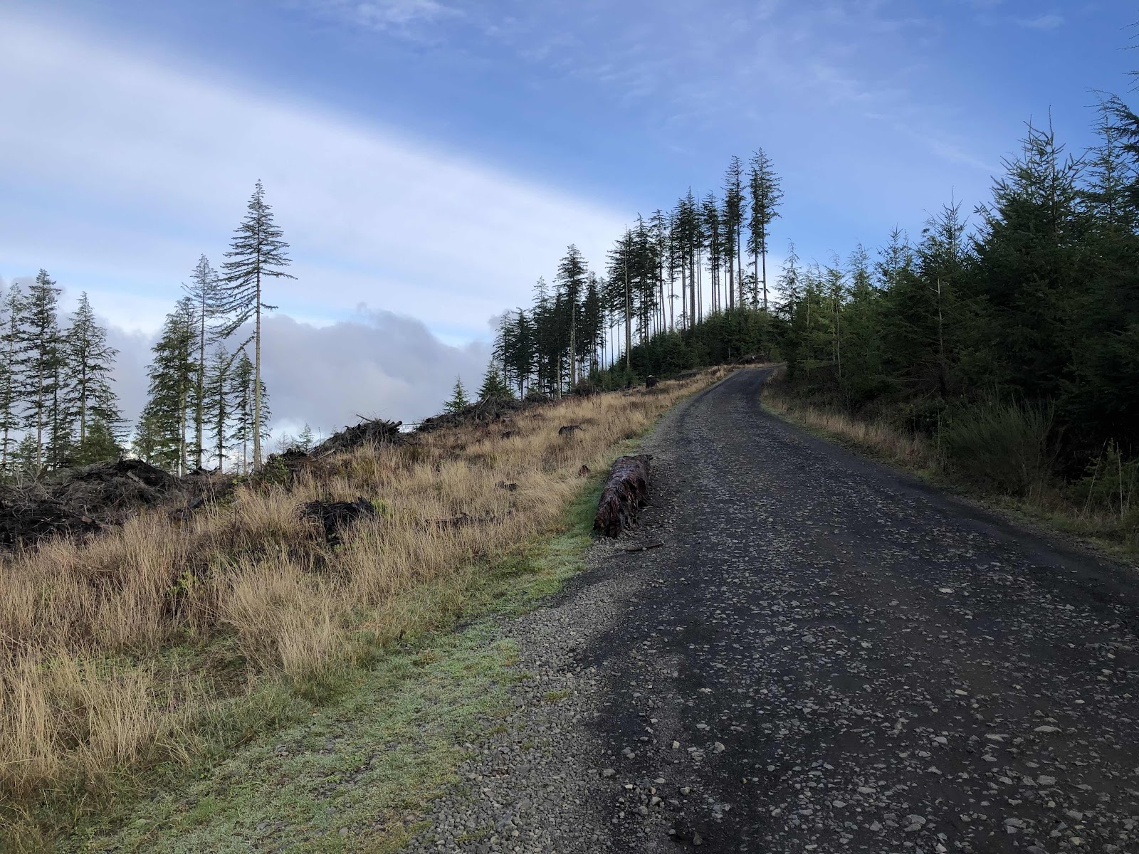
Climbing climbing!
As we returned down B6000, going through the muddy section, we could see down to the water.
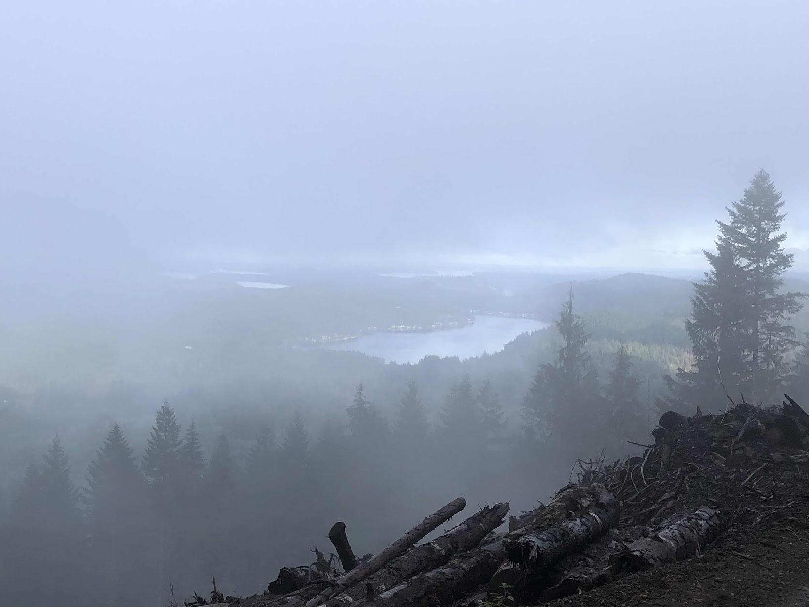
Summit Lake
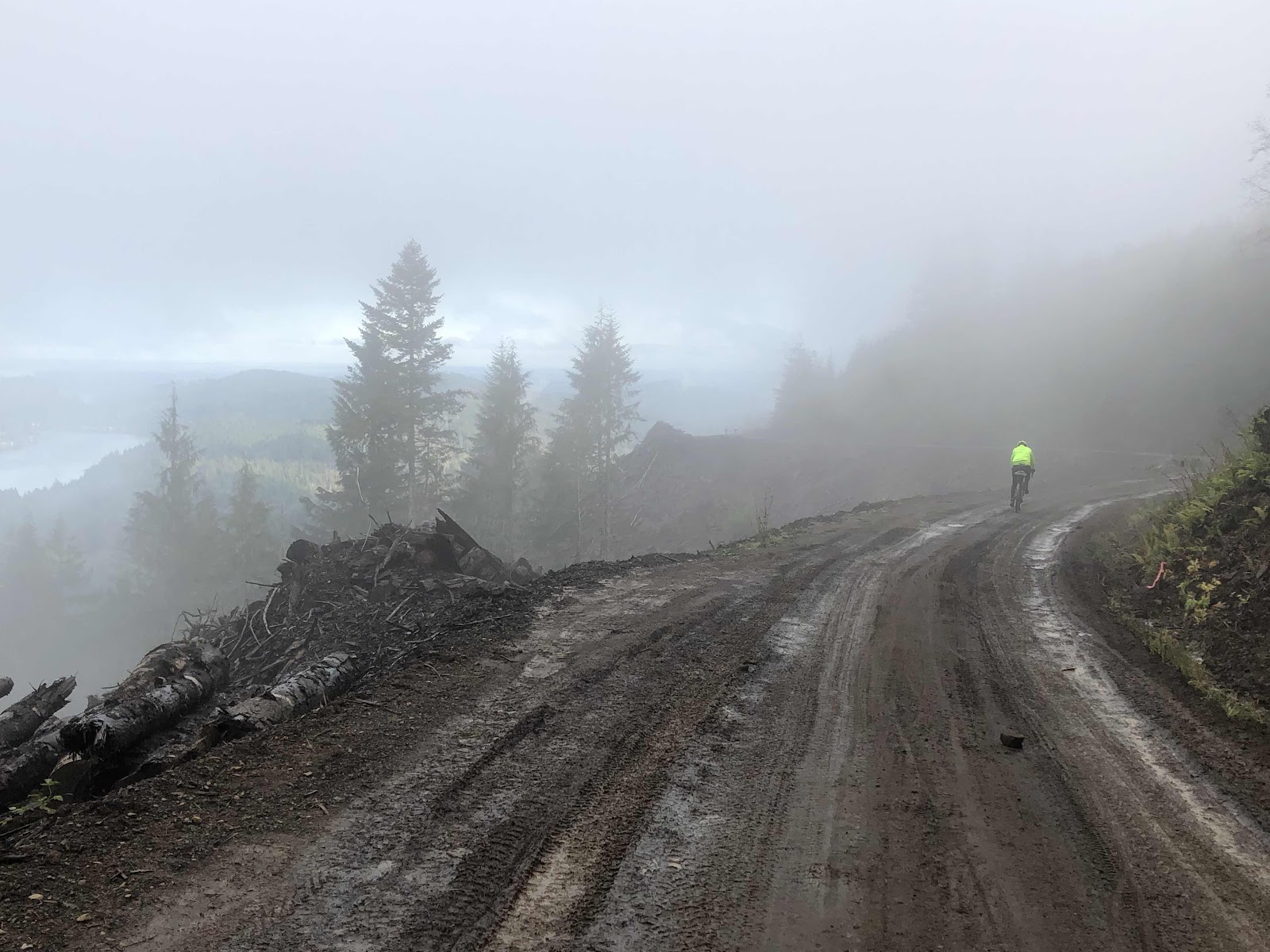
Down into the fog. Note the lovely mud!
Back at the parking lot, Katie and Makaela were waiting. They said they had been there only 15 minutes! We decided another visit to Vic’s was a good plan. At Vic’s, Stephanie joined us (she would have ridden, but is recovering from an injury). It was another fantastic day with great friends! Like I said, best 60th Birthday ever!!!