Wednesday, October 6, 2021

Fire and Ice Loop…

…Where the Fire only came from the camp stove, and the Ice was mostly liquid. 

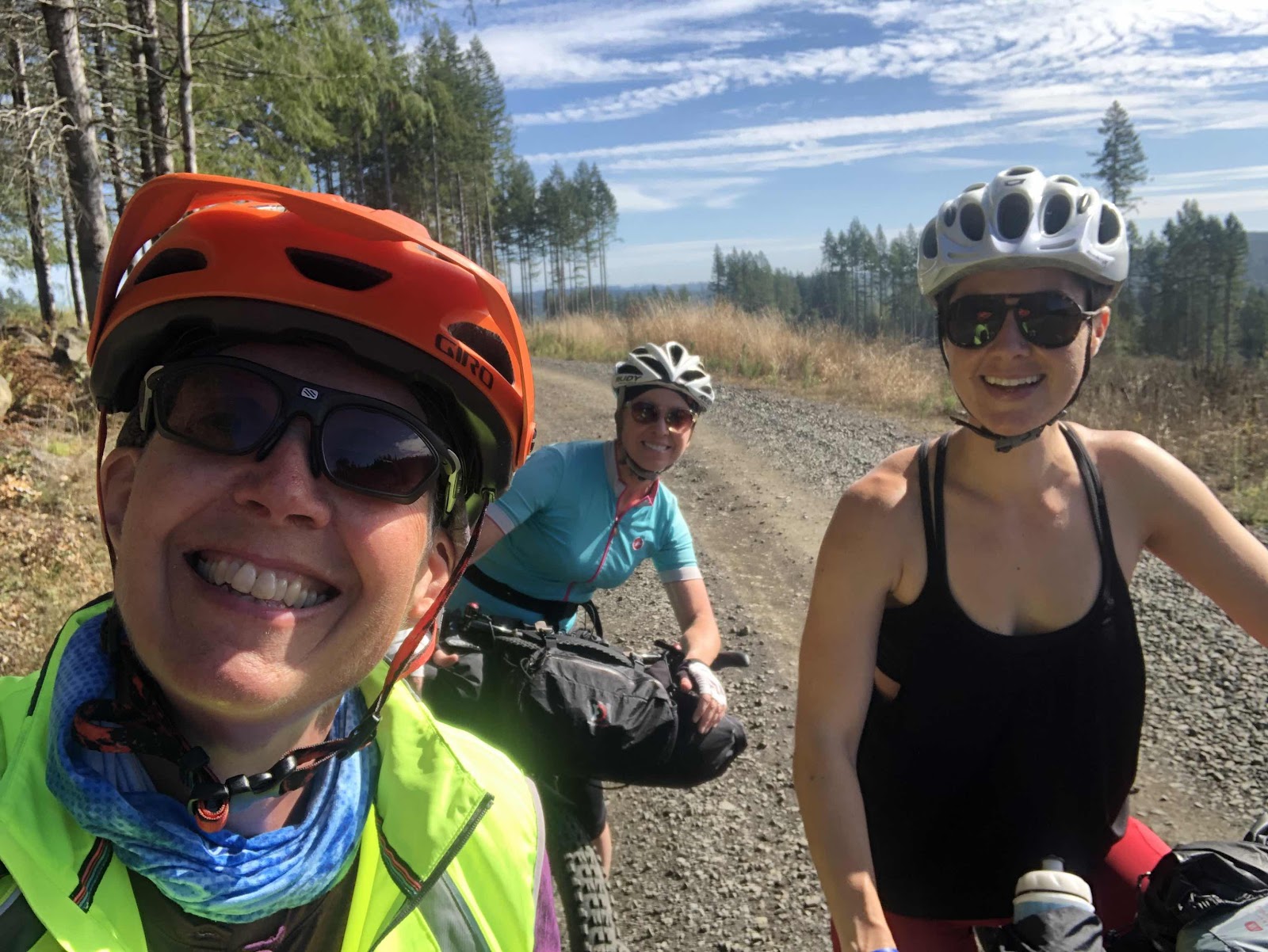
Makaela and I decided to do the Bikepacking.com Fire and Ice Loop. I had stumbled upon the route a year or so ago while looking for some close options for overnight bikepacking trips. We had just finished the overnight to Rainbow Falls. Both of us had obligations for Monday morning, so we planned to head to the start Monday afternoon, camp out, then start the route Tuesday. 

With some info from some friends who had done the route over the weekend, we opted to camp at a campground near a PCT Trailhead that is on the loop. 

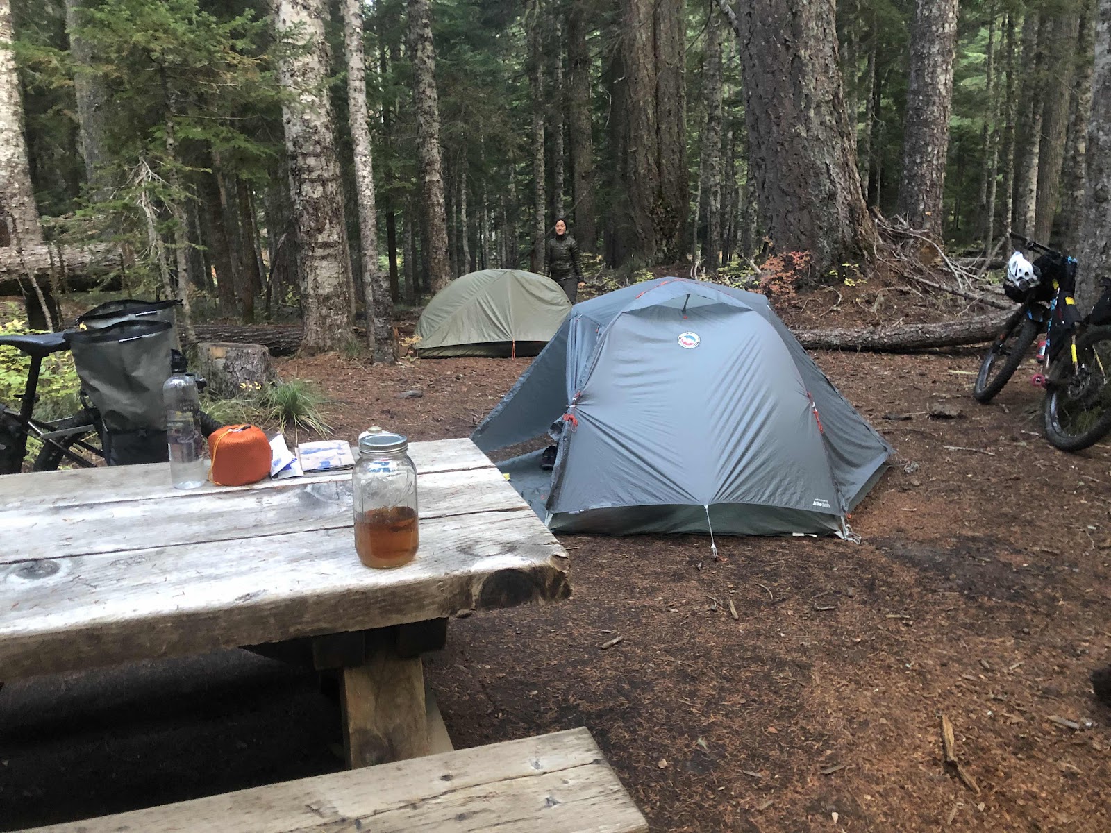
We got to Crest Campground around 6:00. We got the bikes unloaded, and our tents set up. 

The morning after (it was too dark the night before)

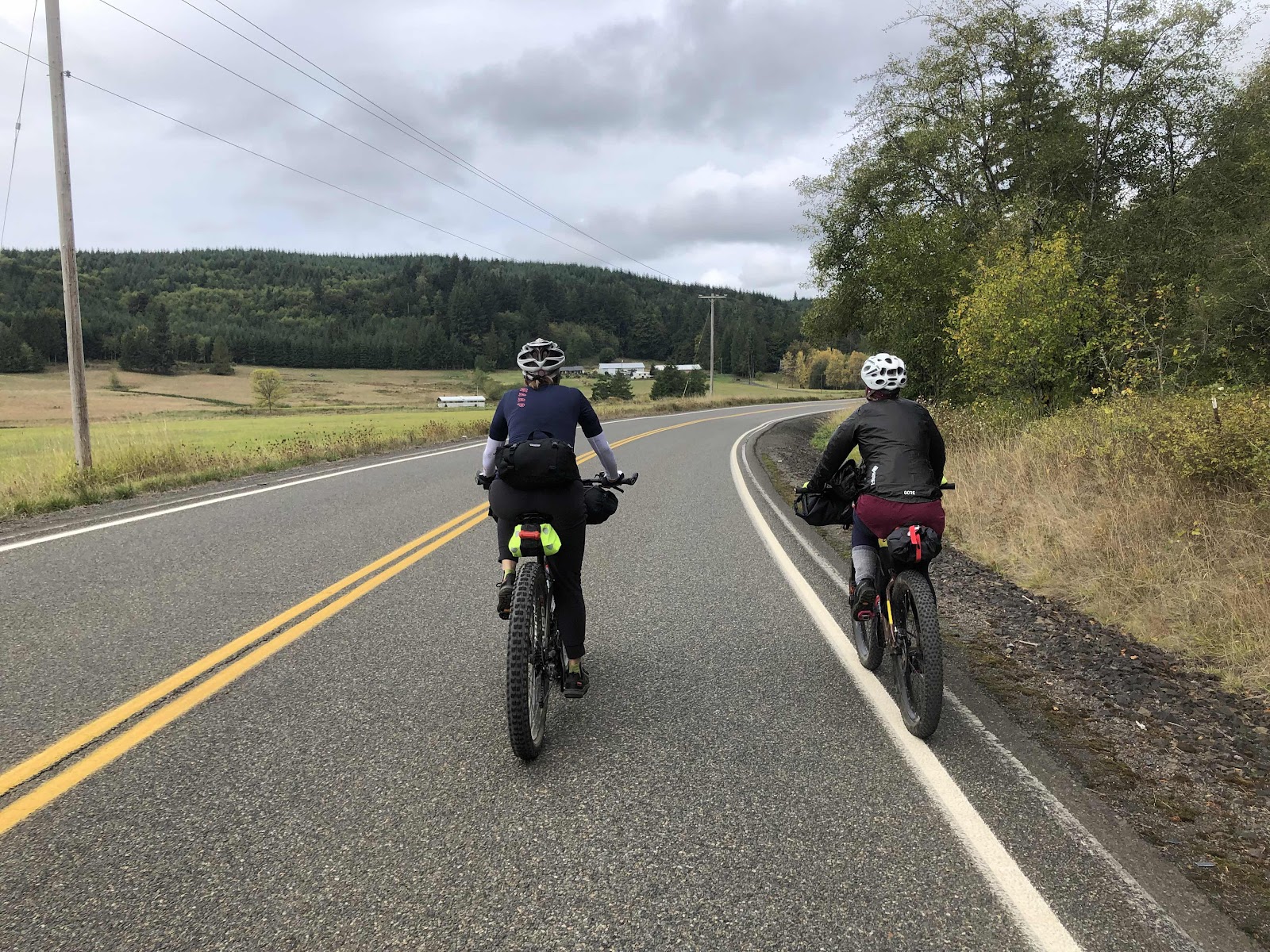
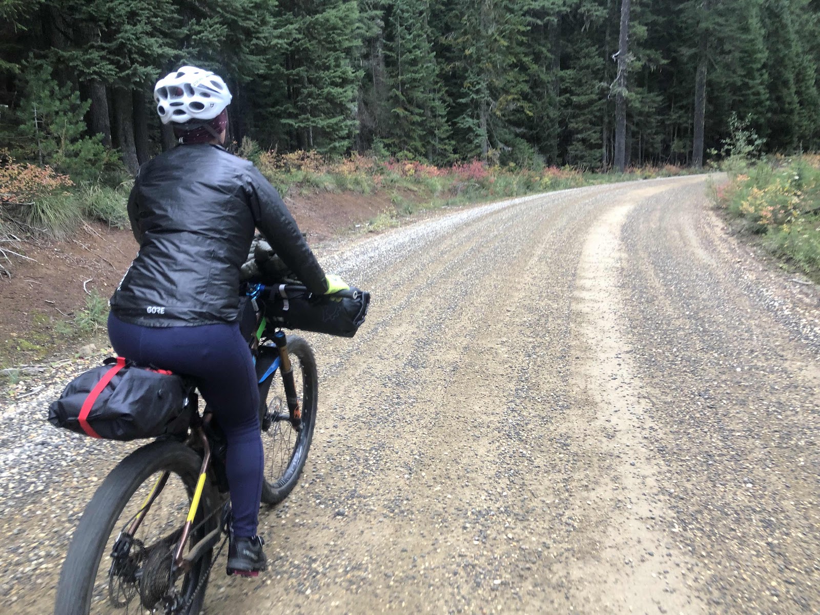
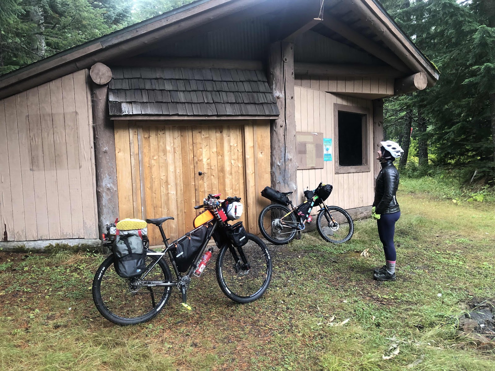
In the morning, we packed up, moved the car to the trailhead parking, and hit the route. It had started misting just before we took off. 

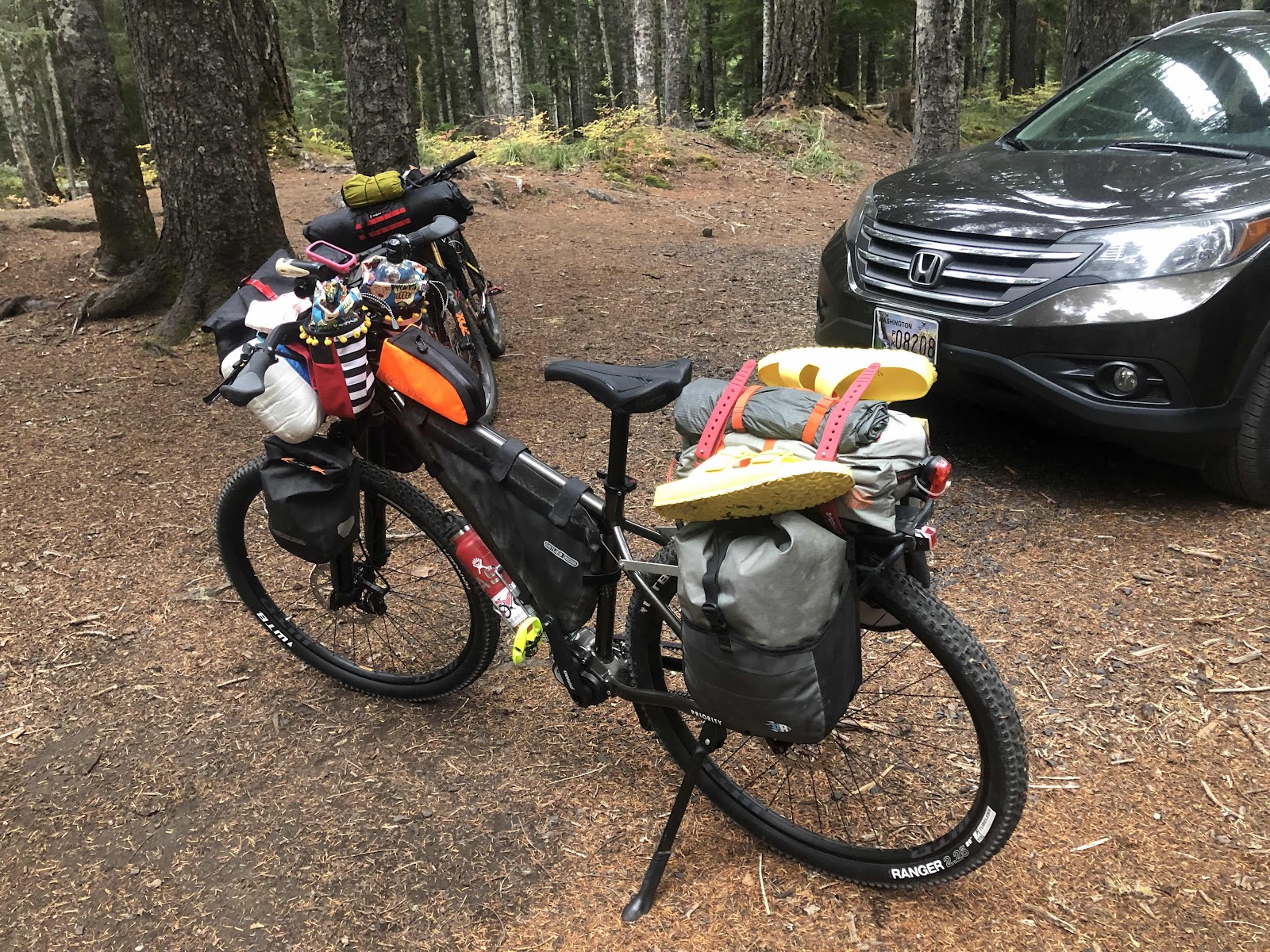
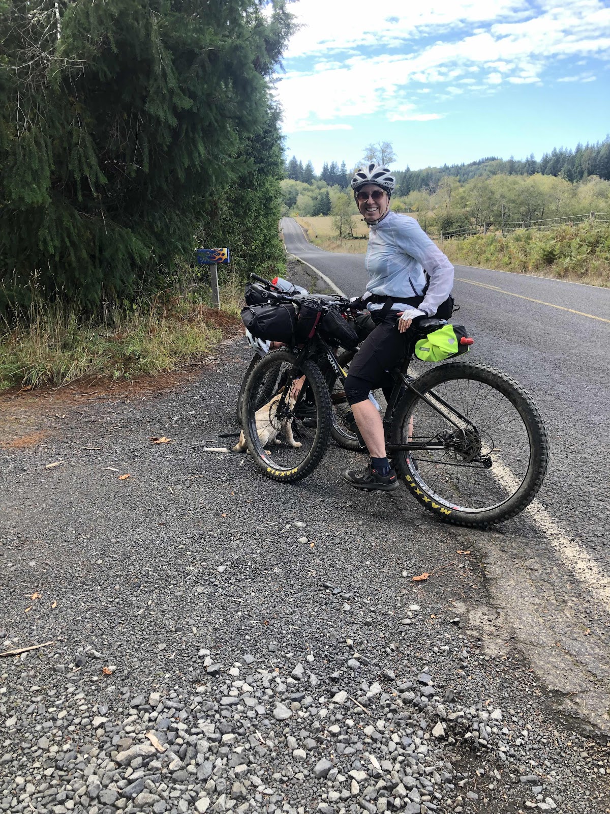
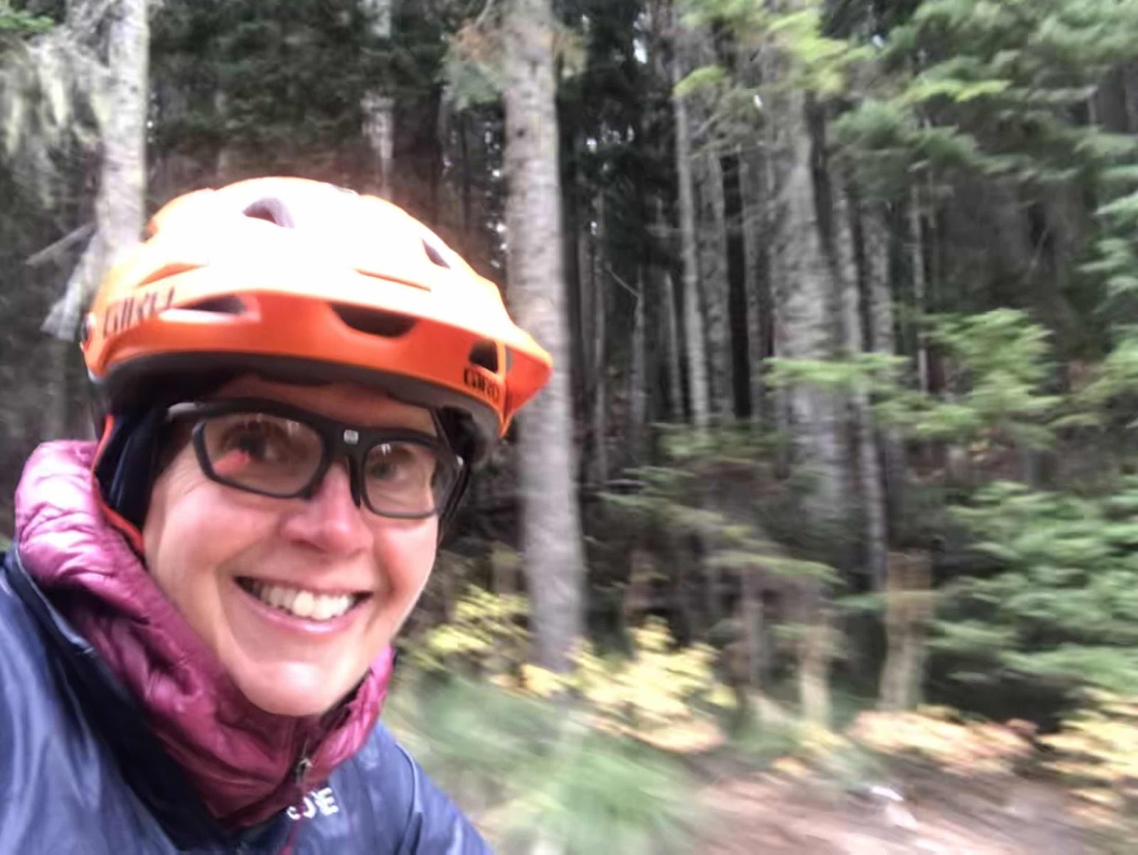
Billy ready for trip #2. 
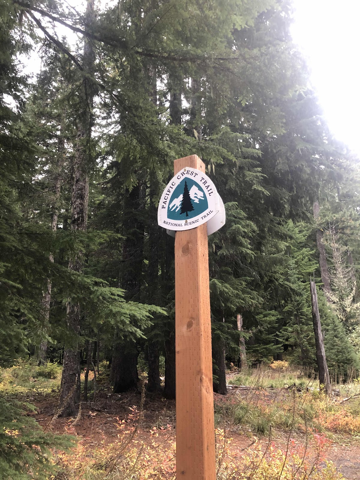
PCT!

No crashies, no flatties, no whammies! 

Bubble of safety!

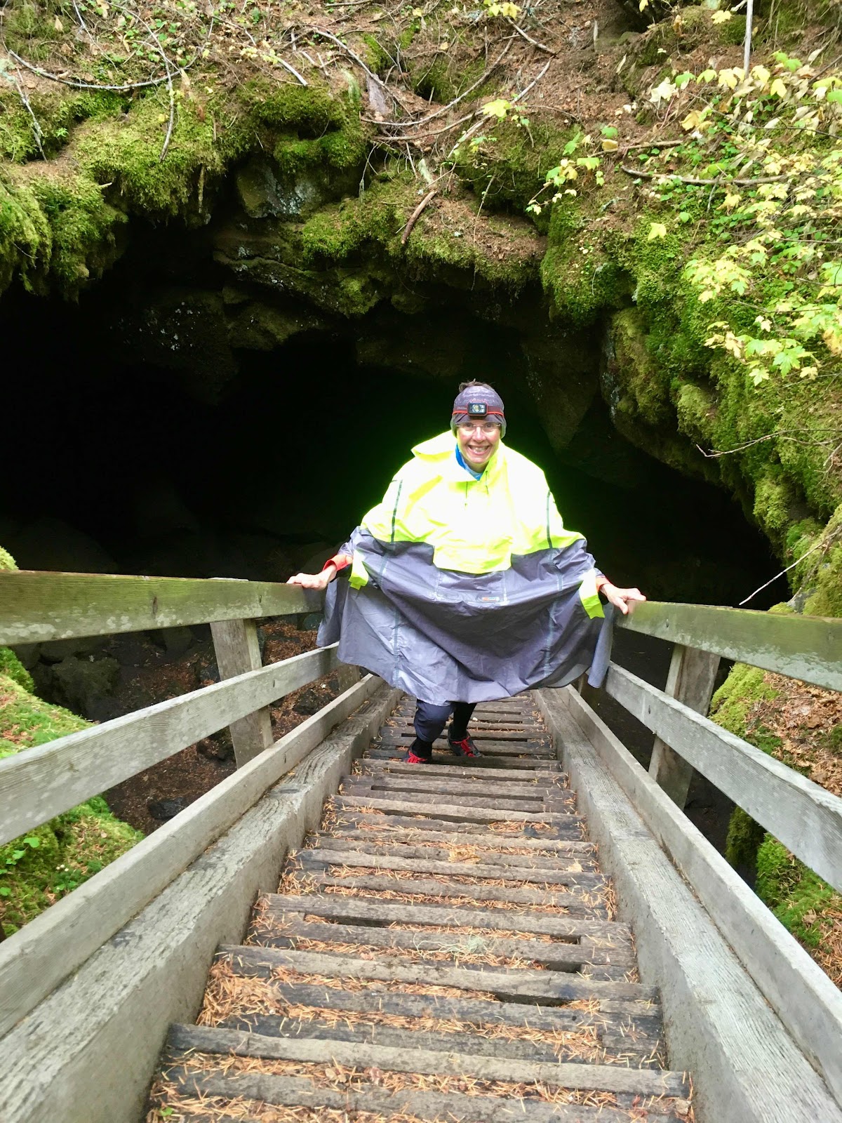
Before long, the the rain was becoming a bit more than a mist. It was becoming poncho time. I stopped and donned my poncho. 

Our first stop of the day was at Natural Bridges. It’s a place where water has created bridges of rock. 

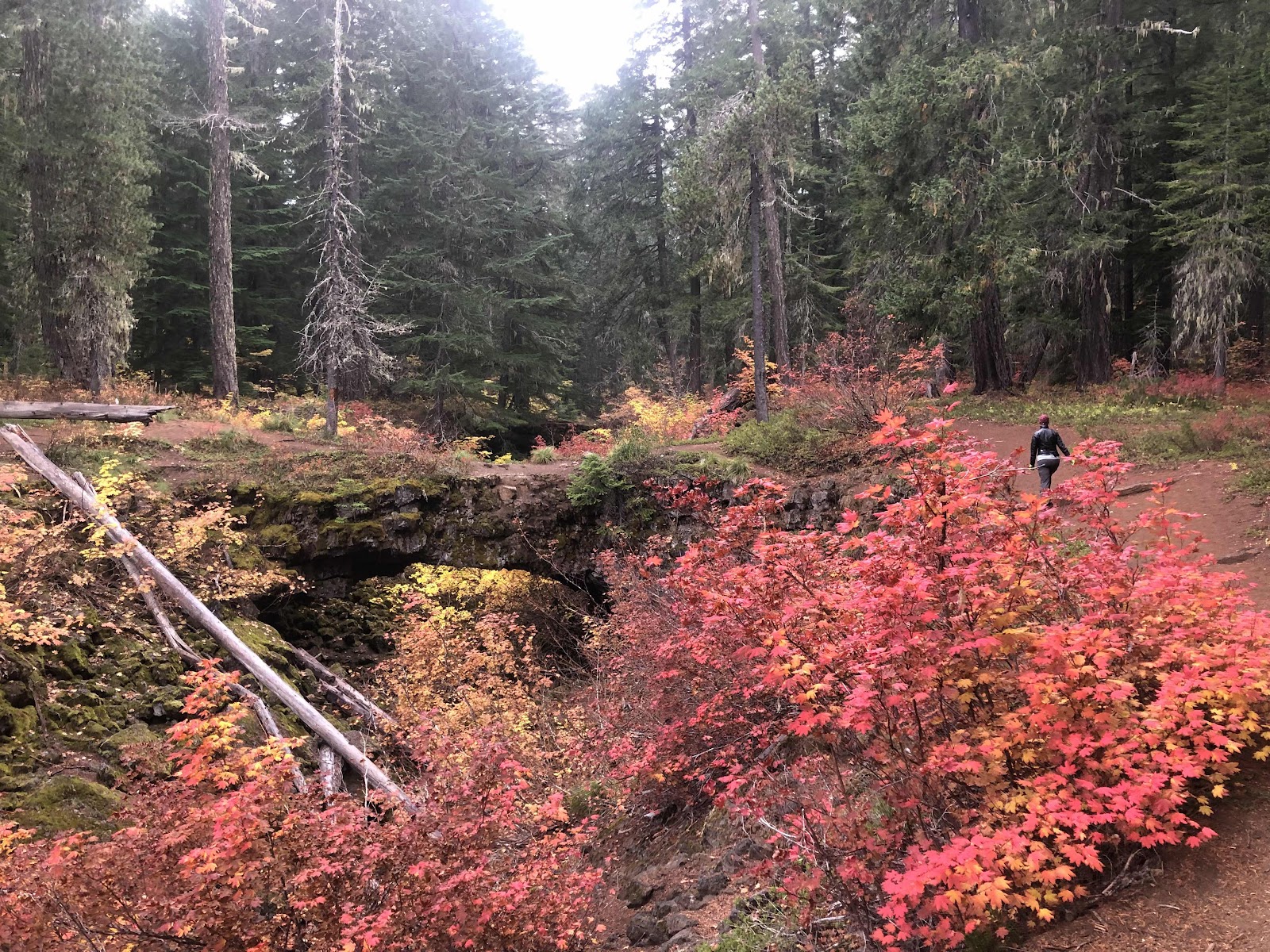
The first bridge (Makaela walking to it)

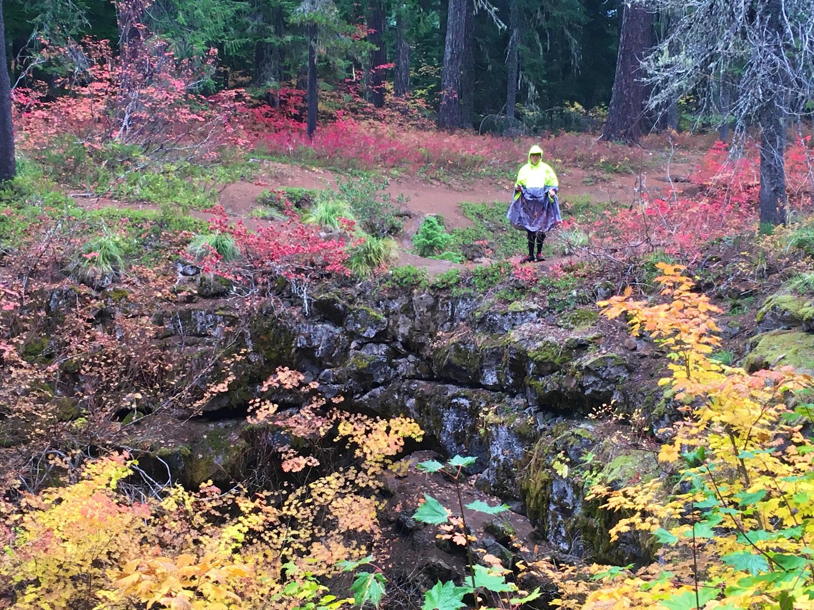
Who is that poncho-wearing weirdo?

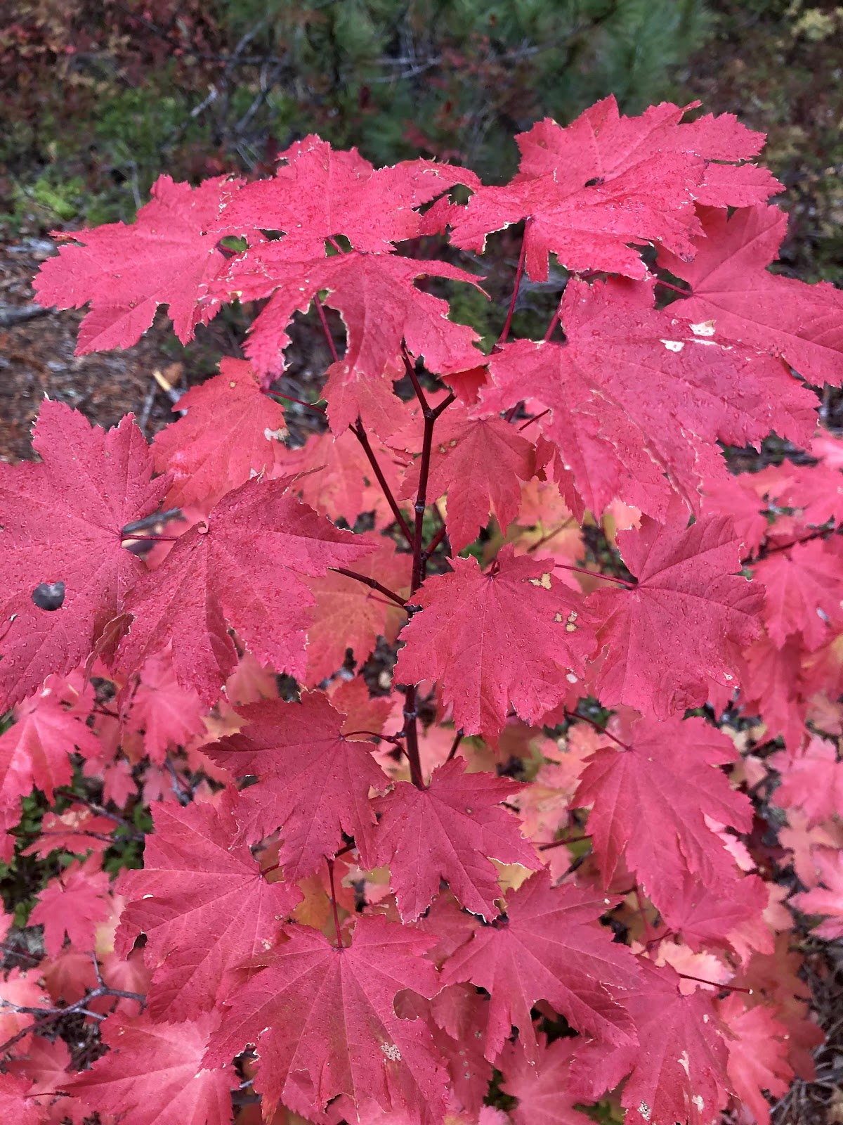
The colors were also spectacular! 


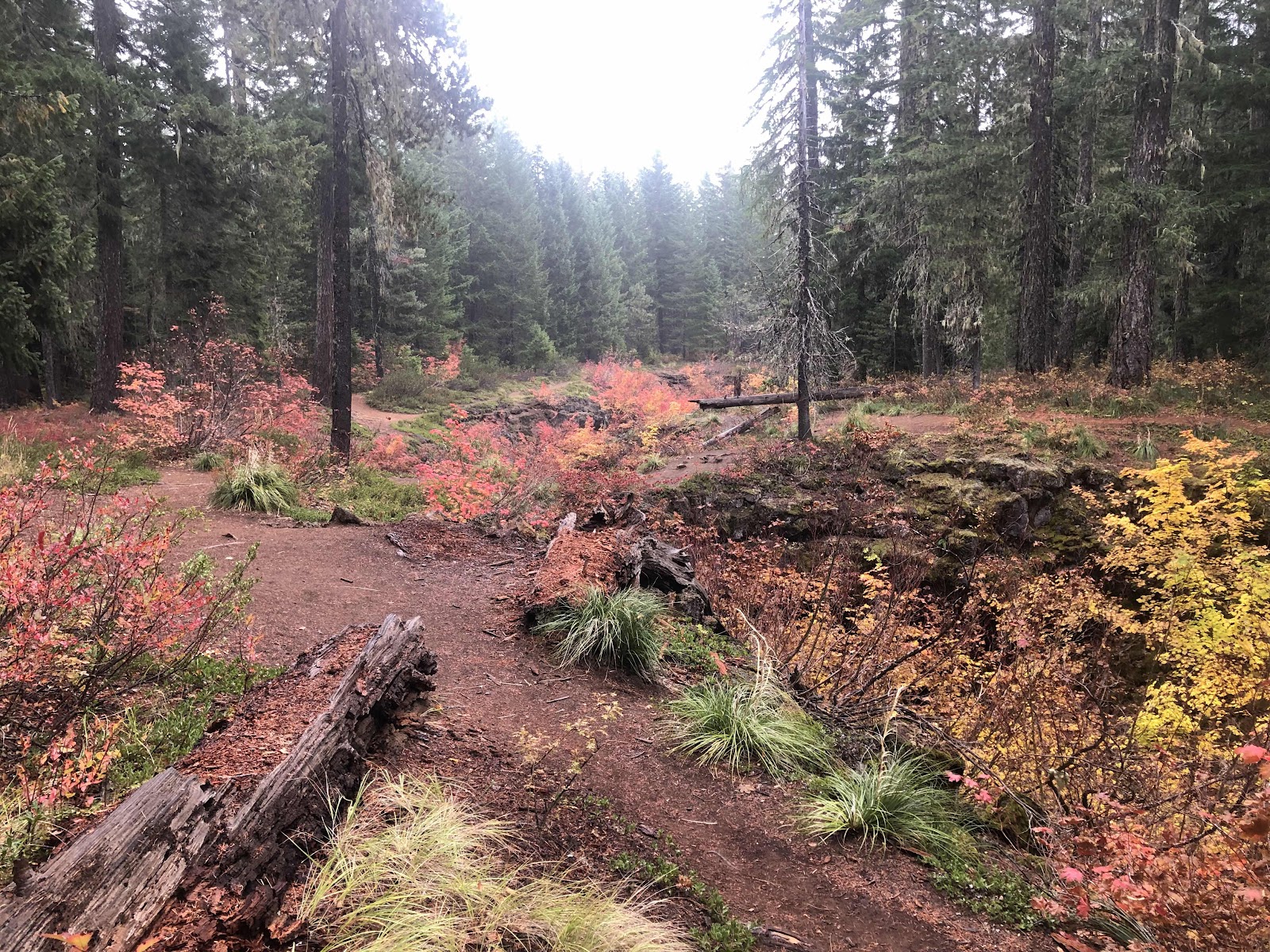
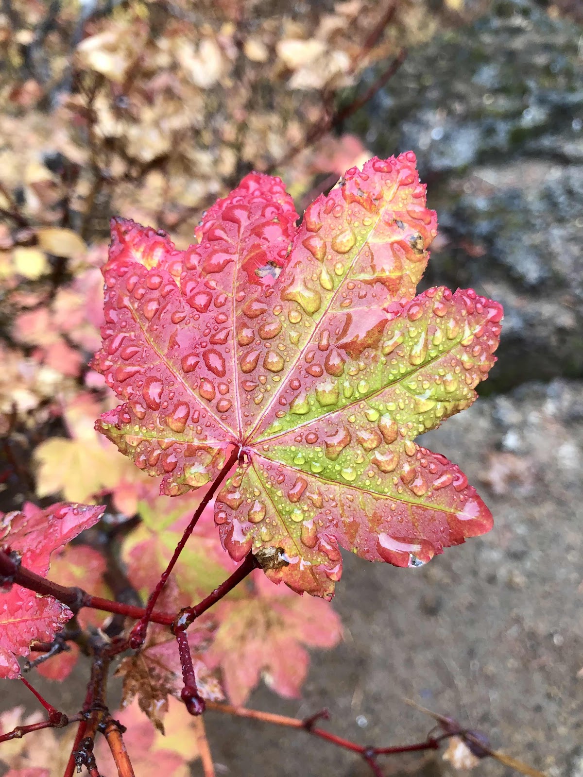
We decided the rain made the colors pop even more (at least, that’s what we kept telling ourselves).

These were sheltered under a tree. 

After wandering around Natural Bridges, we returned to our trusty steeds and headed back out to the route. 

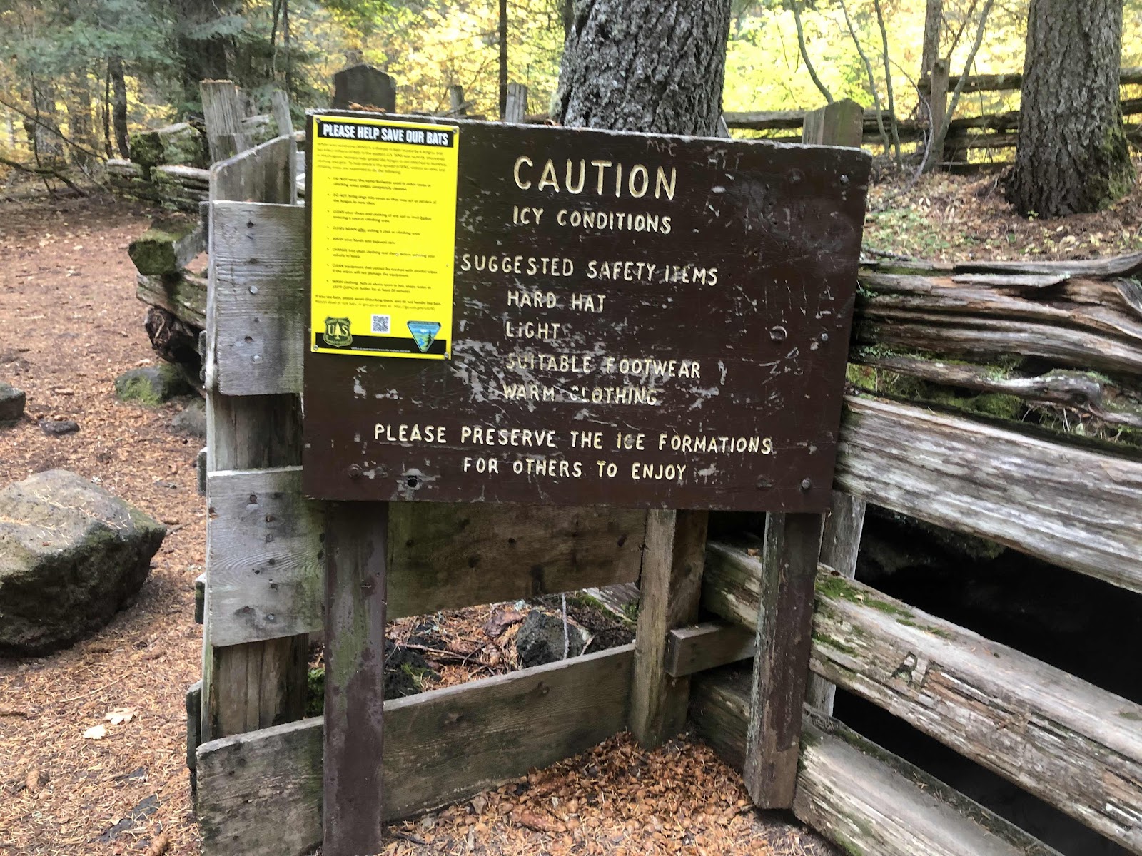
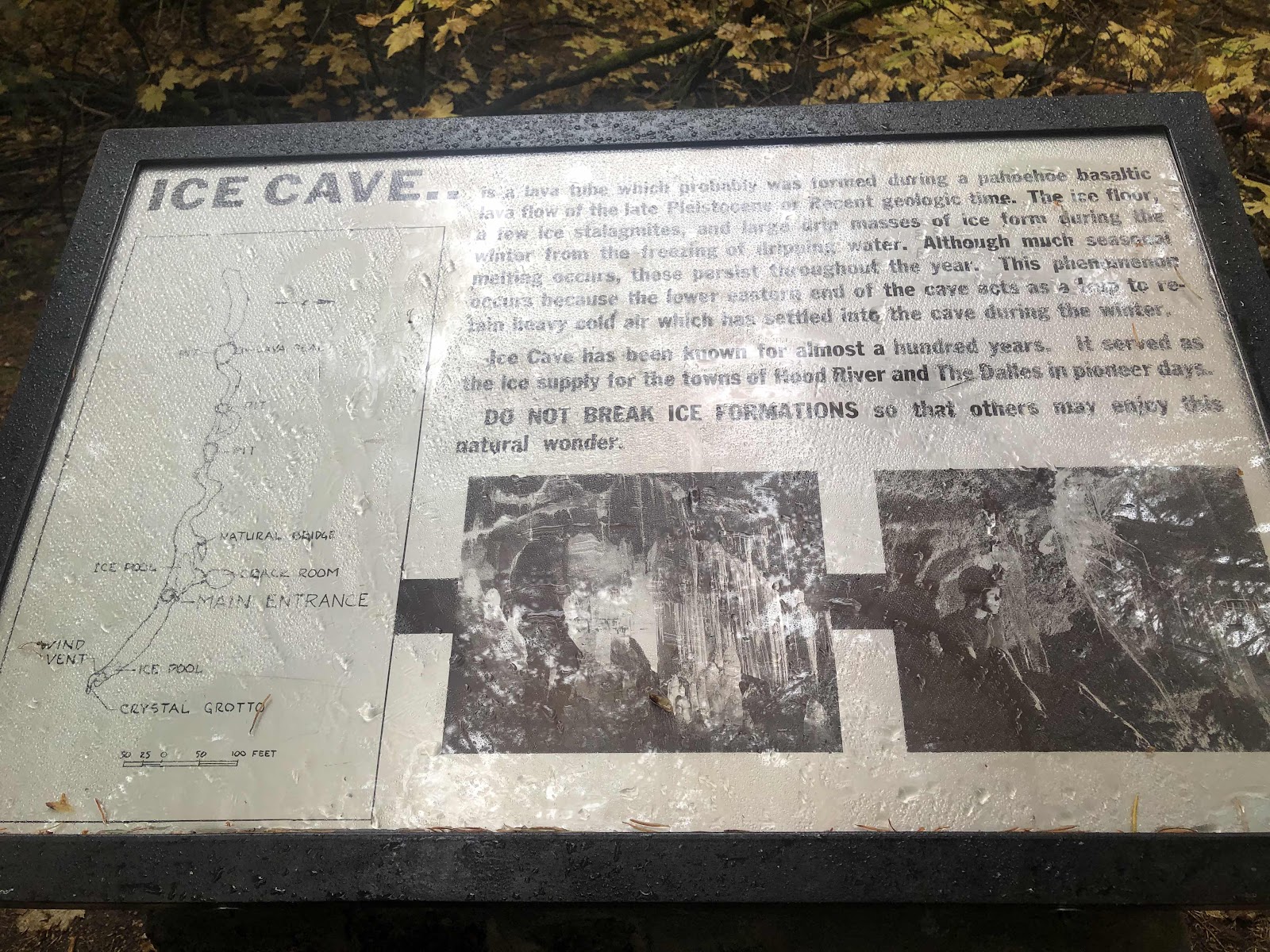
The rain continued as we made our way to attraction number 2, the Gular Ice Caves. It is a series of caves (like lava tubes) that are common in this area. I’ve been to the Ape Caves which are not that far away. What makes this cave different is that it has ice in it. Well, it has ice late into summer…but not so much into Fall. Still we made our way down the stairs into the cave with our headlamps. 


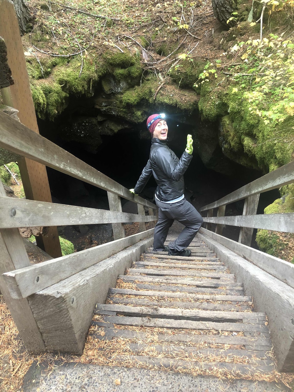
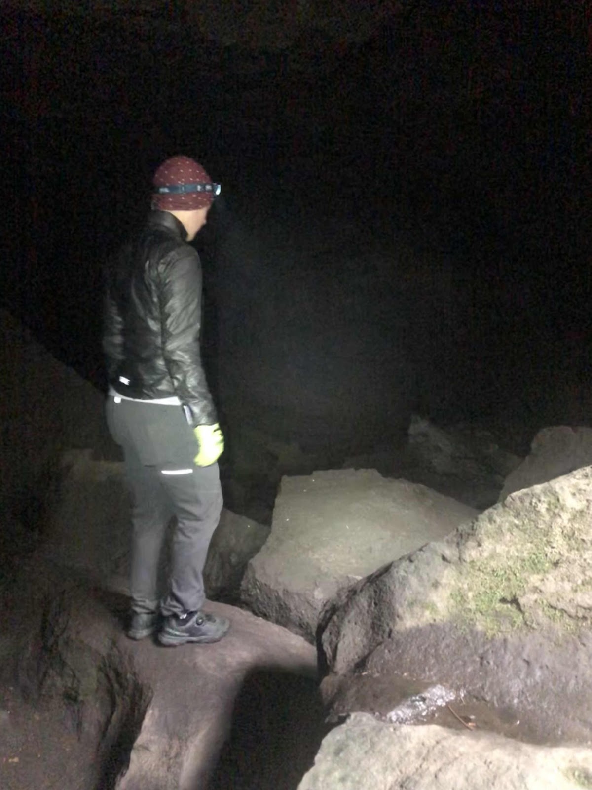
Makaela was quite nimble on the rocks…me…not so much. 

That black part is not some doorway (it’s the shadow of my phone).

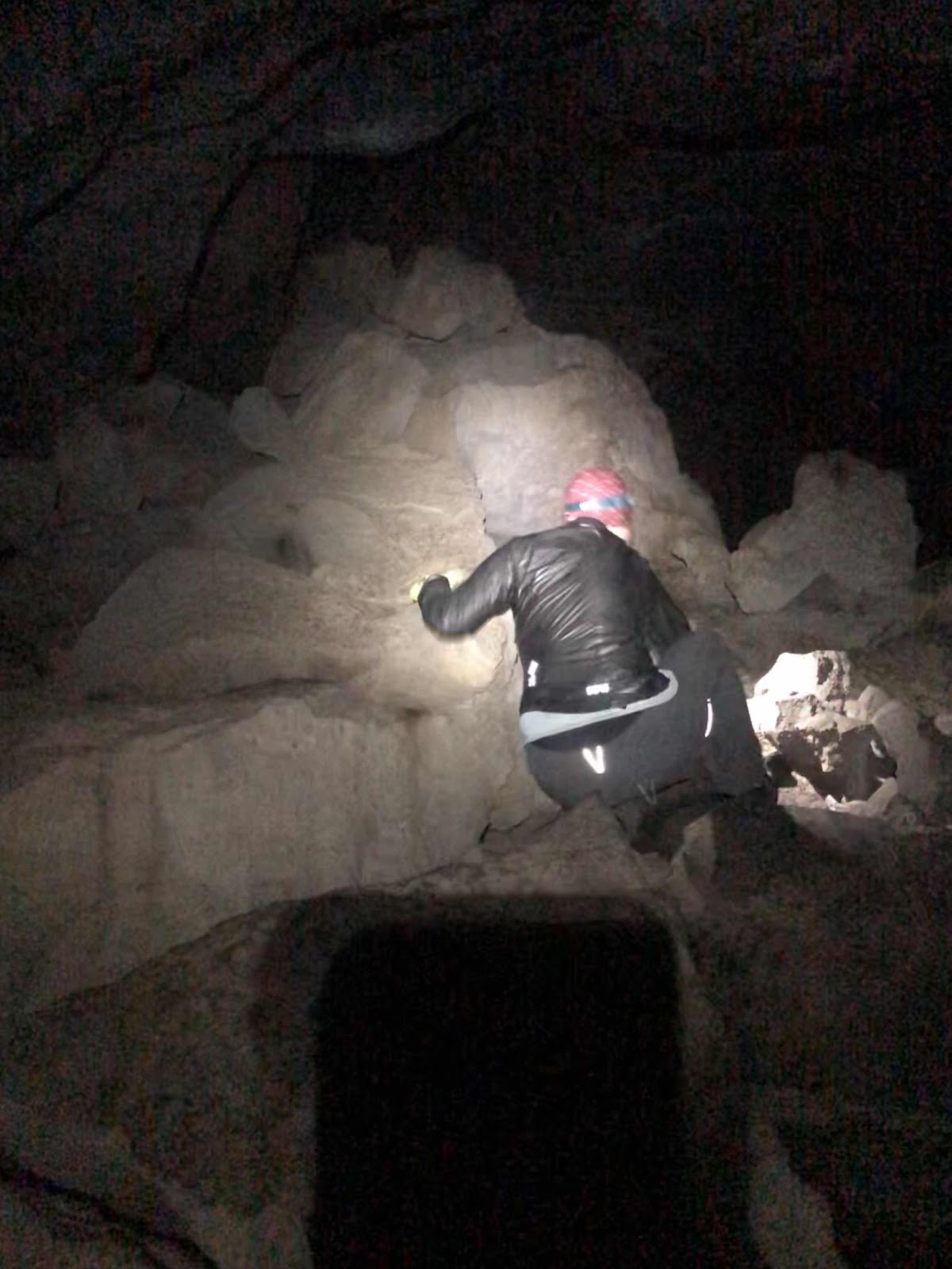
Looking back at the stairs

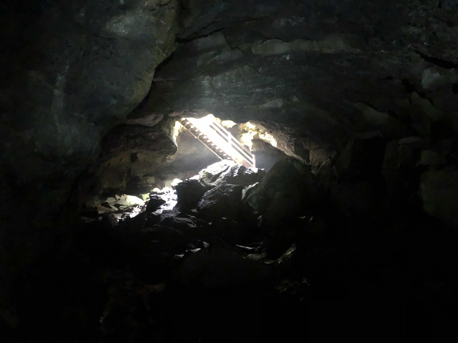
Coming back out (photo courtesy of Makaela)


Just as we exited the cave, a field trip of 5th graders were about to go into the cave. Whew! We got out just in time!

Back on the road, the rain was continuing to make our day…great (okay, maybe not great). In the morning, before we left, a Forest Service employee stopped to make sure we weren’t going to ride our bikes on the PCT. When we told him what we were doing, he kind of questioned our sanity (in this weather?). He asked where we were going to camp. We told him Surprise Lakes. He then told us there was a shelter called Lone Butte just off of FS Rd 30, which we would be riding on. He said we would go right by it, and it had a wood stove. This was further than Surprise Lakes. 

As we were riding along, we were thinking about this shelter. My concern was that it wasn’t included as a POI on the route. Seemed like, if there was this awesome place, it would be in the POIs. We kept riding, our hands and feet starting to get pretty cold and wet (even with waterproof gloves). 

We made the turn onto FS 30. It was paved, and going down.  Makaela stopped when she saw a sign that said Lone Butte Sno-Park. It said it was 5 miles. There was a gated gravel road. Was this the way to the shelter? I looked ahead on the Garmin. It appeared that the road would loop around, eventually coming back to our route. We decided to give it a try. 

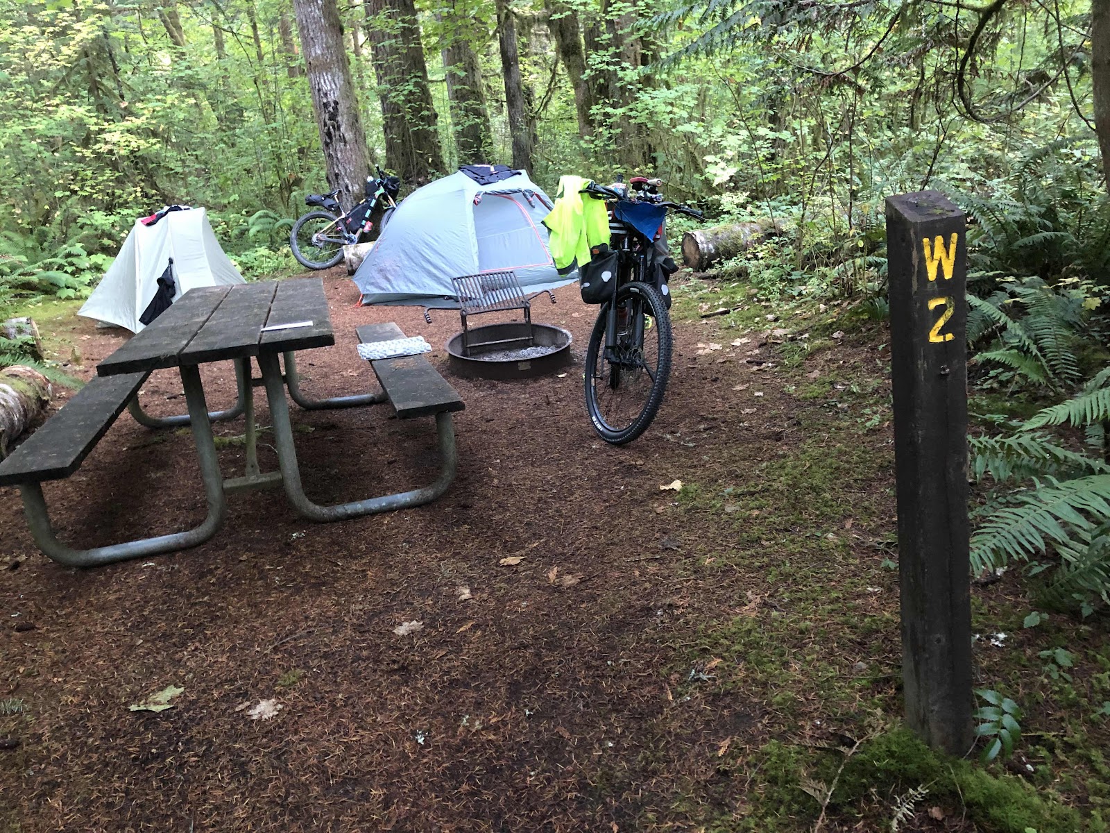
We rode along, not seeing any signs of a shelter. I could see on the Garmin, that just before we rejoined the route, we would cross Meadow Creek. We decided if we didn’t come to the shelter, we would camp close to the creek so we could get water. We got to the creek, and there was a great campsite. I said we were home for tonight! 

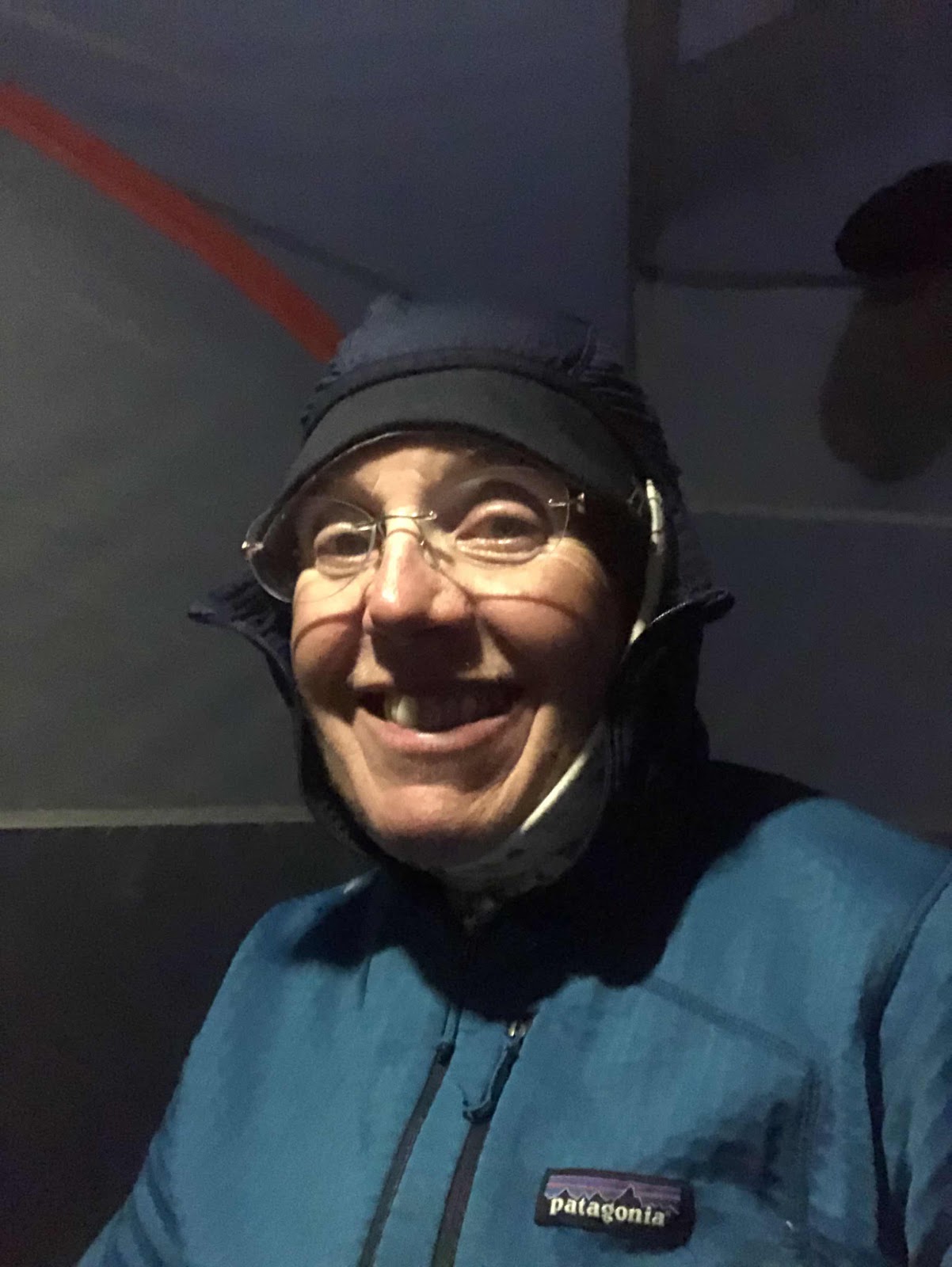
We were both freezing, so hurried to set up our tents (Makaela got to experience her first time of setting her tent up under the rain fly). We then heated some water for hot cocoa, and eventually, dinner. We both retired to our tents to eat our dinners, and basically spent the rest of the night in our tents. 

In the tent for the night. 

The next morning, it wasn’t raining so much, but everything was still wet. At least we both had dry clothes to start out in (but wet shoes which made for cold feet, and wet gloves that didn’t keep the digits very warm). The beauty of it just being an overnight, was that I rode in my sleep clothes under some long pants, my hoody, my hi-vis jacket, and my Shake Dry jacket. I had a whole set of dry clothes waiting 15 miles away in Makaela’s car. 

As I was finishing packing up, Makaela was riding around. As I pulled out onto the road, she comes back, saying she found the shelter. Yep, turns out it was just on the other side of the creek!!! 

We could have had a fire! We could have dried everything out! We could have been WARM! 

It was just as the guy had said…right off FS 30. The reason it wasn’t listed as a POI on the route was because we weren’t on the route (as it was originally published). On the original route, there was a crossing of Rush Creek that has been permanently closed. The Forest Service has brought in a bunch of boulders and brush to keep ATVs (and pretty effective at keeping bikes out too) from crossing there. Our friends, who had done the route this last weekend, did not know about the closure. They ended up hike-a-biking over the boulders, and around the brush. Makaela knew about the closure, and also had found where someone had published a comment with a detour. I had recreated the route with the detour. The shelter was about halfway through the detour, so not listed as a POI on the original route. 

It all made sense after we found the shelter. It was a bummer that we didn’t find it last night, but we survived anyway. 

Since we had done 38 miles the day before, we only had 15 to go. Not long into the day, it started raining a bit more. We also had a 4 mile climb, which was good because it warmed us up nicely. Even my fingers were finally warm (until the next downhill sucked the warmth right out of them). We had about as long of a descent as we had climbed. 

Before long, we made the turn onto the road that the car was parked on. It was just two more miles…all uphill. The car was a beautiful sight to behold! We loaded everything, and changed into dry clothes. Heater and butt warmers on full blast, we headed home. 

As you can tell, I didn’t take any photos, except the one, today. That would have involved taking my glove off, and my hands were too cold. When we were about 2 1/2 miles from the car, the sun made an ever so brief appearance. But, then it was back to rain. 

The route (especially with the detour) was not a difficult route. Yes, it would have been nicer if we had not had rain the entire time, but we managed. If we go back again, with nicer weather, we would definitely consider staying in the shelter (now that we know exactly where it is)! 


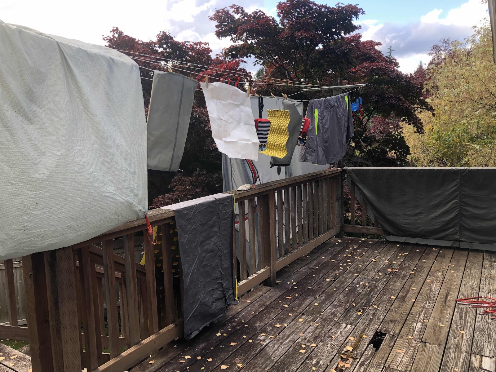
Everything hanging to dry. 


Sunday, October 3, 2021

Billy’s Inaugural Bikepacking Overnight

Day 1-Where we crash a wedding

This was actually an inaugural bikepacking overnight for all three of us! It was my first trip on my new Priority 600X hardtail… “Billy”. It was Makaela’s first trip on her hardtail… “Ruby”. As for Catherine, well, it was her first bikepacking trip ever! However, she rode the veteran bikepacker, Mama Cass. 

Nearly ready to go. 

The loop we planned was a gravel ride that Makaela, Jana, and I had done awhile back. The intention was to put on a bikepacking overnight that was suitable for beginners and advanced beginners. The loop started near the end of Lincoln Creek Road west of Centralia. It climbed on gravel Forest roads up and over to the Doty/Dryad area, and the Willapa Hills Trail where we camped at Rainbow Falls State Park, then road back via the Willapa Hills Trail to Ceres Hill, Bunker Creek, Ingalls Rd, and back to Lincoln Creek Rd. In total, the loop is 39.1 miles with 3265 feet of elevation. Because the first day to Rainbow Falls is the majority of both the gravel and the elevation, it is just 16 miles. The first day is definitely the more “advanced beginner” level due to the climbing, but remains doable due to the shorter distance. 

We had planned to park at a mysterious gravel lot that Makaela, Jana, and I had parked at before. It’s no longer a mystery. It is someone’s private property. Now there are two large RVs parked there. 

No problem for us, we just went a short distance up L3000, and parked at a large pullout, right at the beginning of the gravel. Either way, we had to start with a steep climb. I got to use Billy’s 15.9” easiest gear right away. Makaela is a very strong climber, so she motored right up. At one point, I looked back, and Catherine was climbing right up too. She is very strong, but she was on a bike she had never ridden before, and on top of that, loaded down with gear. Didn’t seem to be a problem for her! Amazing!

Happy Bikepackers R Us!

The weather was perfect! As we climbed higher, we could see Mt. Rainier, then Adams, and finally St. Helens. 

Rainer

Adams

Still climbing Makaela

St. Helens

Catherine and Makaela still climbing

All three…Rainier, tip of Adams, and St. Helens

Last time we did the route we turned off of L3000 onto L3200 (this was what RWGPS had routed). Then we turned off L3200 onto a road that was supposed to take us back to L3000, but dead ended. That day, we just rode L3200 all the way down to Chandler Rd. This time, however, I remade the route having us stay on L3000. This was much better! The descent was not quite as hairy, and really fun. We got all the views (not just the western side). It was definitely the better way to go. 

At the bottom, we came out to Chandler Rd. Across the street we were greeted by two puppies. They were wiggling and so excited to see us. We had to go say hi. 

Puppies!

Makaela in her happy place!

This one was a chunk!

We were afraid they were going to try to follow us. Chandler Road isn’t terribly busy, but still not a place for puppies. I walked my bike down their driveway, getting them to follow. There were cars at the house, but no one came out. There was a bigger dog barking (mama?), but it was chained up. I suspected the pups had escaped out of the fence. Of course, as soon as I turned around, the pups followed. We just decided we had to go, and hope they wouldn’t follow us for long. They followed until the next driveway, then ducked in there. 

We got to the Willapa Hills Trail around 2:45. We had heard there was a cafe further west (Rainbow Falls was to the east) on the trail called “Owl and Olive”. I checked to see how far, and if they were open. They were open until 4:00, and just 2.6 miles away. We headed that way. 

We pulled into the place to see many cars parked in the “Event Parking” area. Hmmm… something was going on. As we got closer, we could see it was a wedding. We rolled up and talked to a wedding goer. He said the wedding was done, and now it was the reception. He figured we could still come, as the reception was upstairs (the cafe and bar was downstairs). So we did. We didn’t try to order food that had to be cooked (like pizza). Instead we got some olives, fig jam, crackers, hummus, and various beverages. 

The reception was upstairs in the “barn”


Oh, and I got a salted caramel cheesecake 

Nice floral table decorations. They had a game of cornhole going on (we were tempted…)

Even got a glimpse of the bride!

We had a good snack, then headed back to the trail. I would definitely like to come back and try some of their other cafe items!

Once we got back to Chandler Rd, we only had another mile to Rainbow Falls. We got there about 5:00. Catherine had borrowed my Zpacks tent, so the three of us set that up together. Makaela and I had set up on my “usual” site…W2. This is, I think, the 4th or 5th time I’ve camped on this site. 

Good ol’ W2. 

After we all got our stuff set up, we went for a walk on the trail by the Chehalis River. 

The namesake falls. 

Some fairly awesome looking mushrooms. 


For dinner we all managed to bring curry freeze dried meals. I had the Mountain House Yellow Curry, and both Makaela and Catherine had the Backpacker’s Pantry Kathmandu Curry. The only difference between Catherine and Makaela’s was that Catherine’s had expired approximately 11 years ago! It was…well…less than fresh! But, Catherine managed to choke down some of it. Who knew they had even been making them that long ago??? They also, back then, hadn’t spelled “Kathmandu” correctly (left out the “h”). We had a good laugh about the whole thing. 

We rode 21.34 miles with 2136 feet of elevation. Almost the perfect “golden ratio”! And…we crashed a wedding! A good day all the way around!

Day 2-A Woolly Bear Rescue

We woke up to a bit of misting in the air. It was also a little chilly. Once we had our breakfast, and packed up, it was about 50 degrees. We headed back to the Willapa about 10:00. When we got out of the trees, it was a little warmer, but we still rode in our puffy jackets until we got to Ceres Hill Rd. 

An interesting…sight…to start the ride. 

Willapa heading East. 

At the turn to Ceres Hill Rd, we stripped off the puffy jackets for the climb. Since the last time we did this climb, they have graded the road. It was very smooth, almost felt like pavement. 

I think I’ve taken this photo every time. 

Smooth “gravel”

The descent down the other side had also been graded. It was a fun ride down. That was the end of the gravel for the day. We still had two climbs, but they were on pavement. 

The valley between the Willapa and Lincoln Creek. 

There were tons of woolly bear caterpillars on the road. Many had met their end trying to cross the road (why did the caterpillar cross the road???). At the turn onto Ingalls Rd, we stopped for a snack. This guy was heading across the road. 

Why???

I grabbed a stick, encouraged the little bear to climb aboard, and transported him to the other side of the road. It was just in time too, because two vehicles came by not long after. Whew! One woolly bear saved!

We made it back to the cars just before 1:00 making for a “Sub 25” hour bikepacking overnight. The last bit back to the cars was a mere 15% grade. 

Just. A. Little. Further.

We rode 23.56 miles and 1355 feet of elevation. Definitely easier than yesterday. 

We finished by harvesting some elderberries (Makaela makes a tincture).


This was a great overnight bikepacking trip! I would still classify it as a “Beginner/Advanced Beginner” Route. The climbing is no joke, but with the shorter miles, even if someone had to walk parts, it would still be doable. The descent is not so scary either. The pavement on Day 2 is on low traffic backroads, and a pretty ride through the valleys. 

Thanks Makaela and Catherine for coming on this ride!