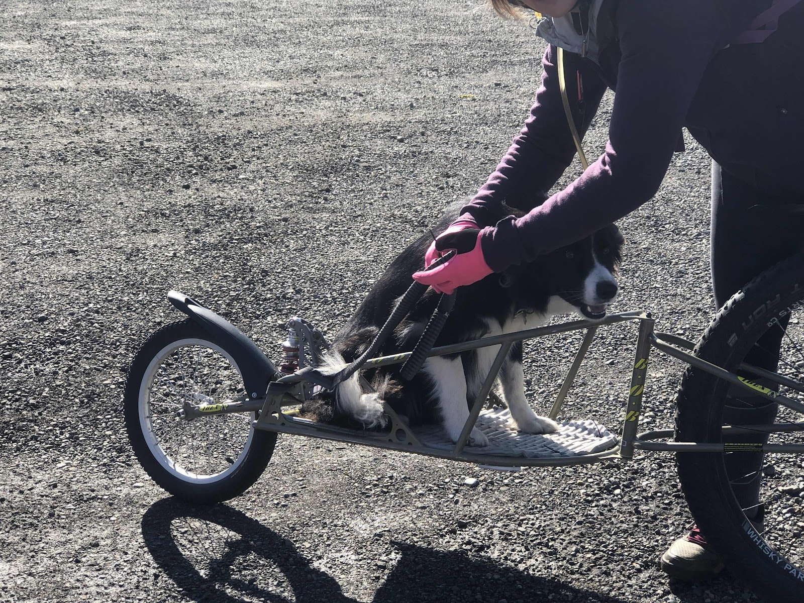
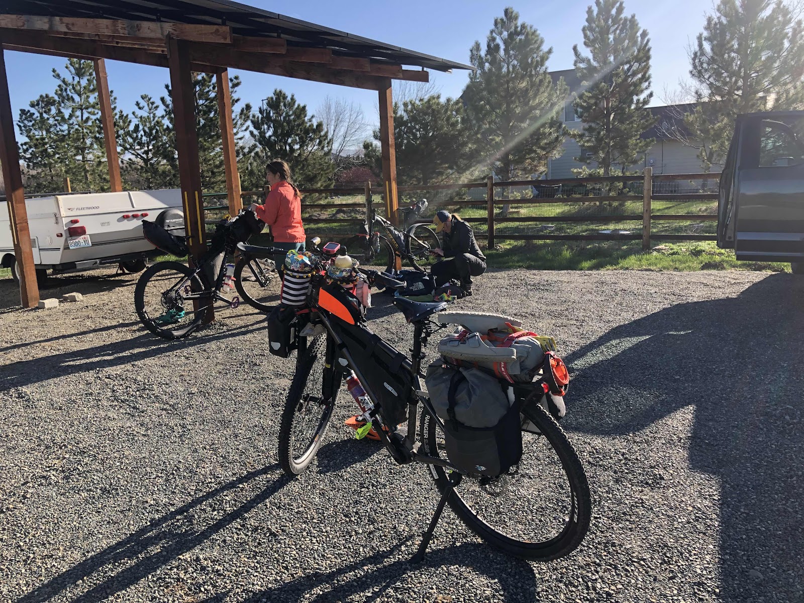
Back up to Friday evening where Makaela picked up me, and a weekend’s worth of bikes and bike clothing. We also spent a quick moment adding sealant to her road bike tires. We had time to go back to her house and drop of Grayson the road bike before heading down to 3 Magnets Brewing to pick up our rider packets for the Super G on Saturday. Spent some time hanging out with other friends who were picking up their packets too…Steph, Katie, Erin, Scott, Stewart, Brad…When I picked up my number and timing thingy, Cam told me I’d better not cut the course. I told him I wasn’t making any promises!
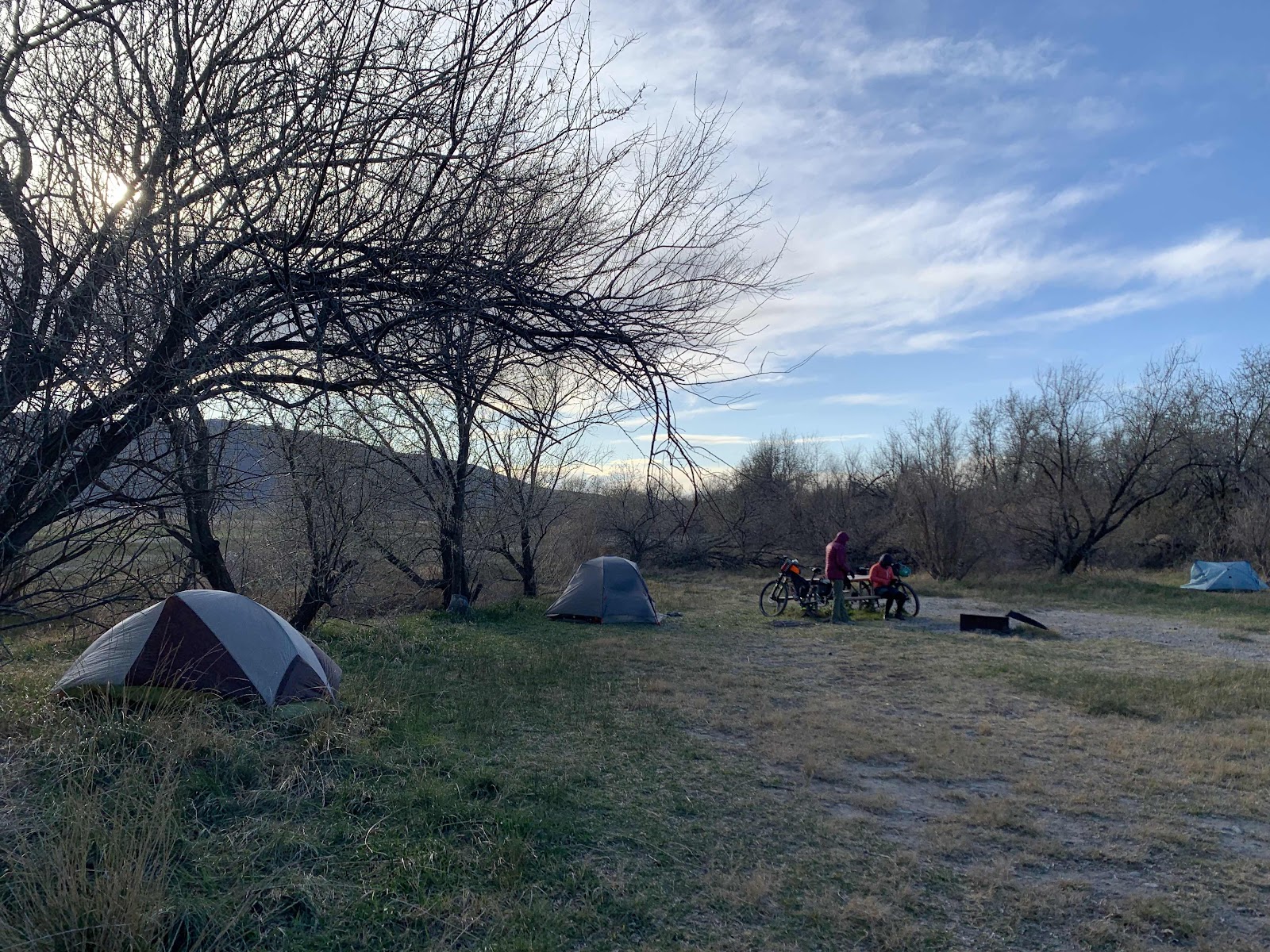
Back at Makaela’s, we got as much stuff ready for the next morning as possible. Staying at her house allowed us to sleep a bit longer, and gave us a better chance at getting to the start line at 8:00am.
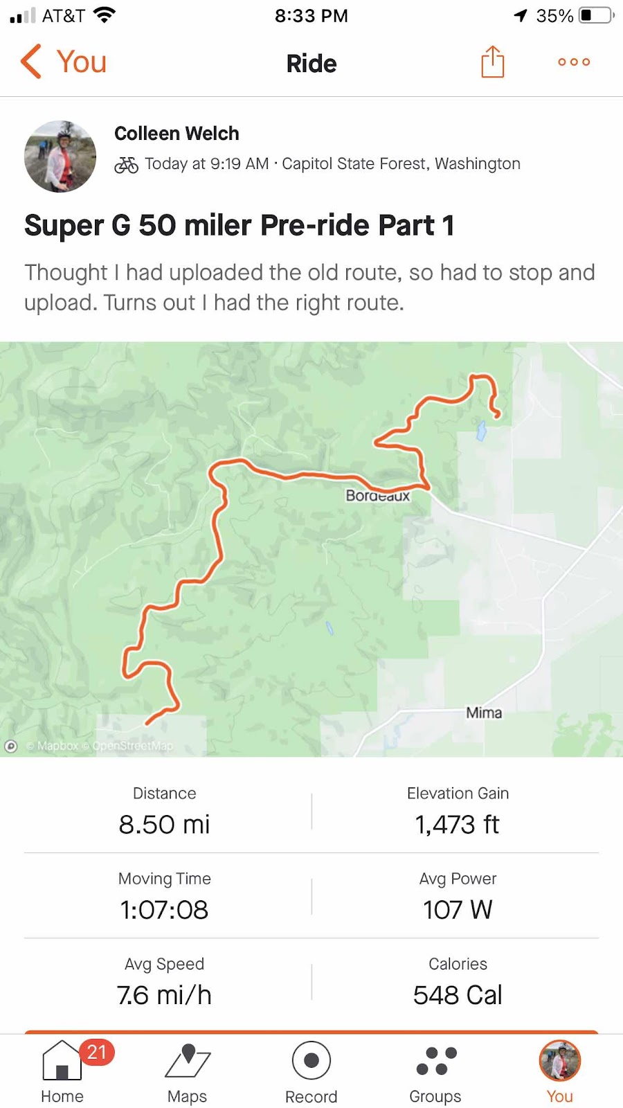
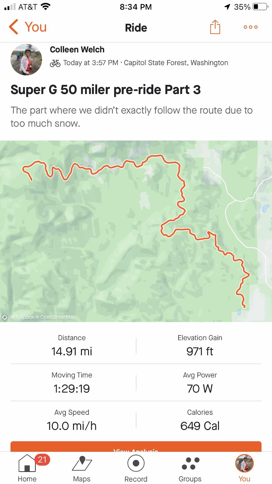
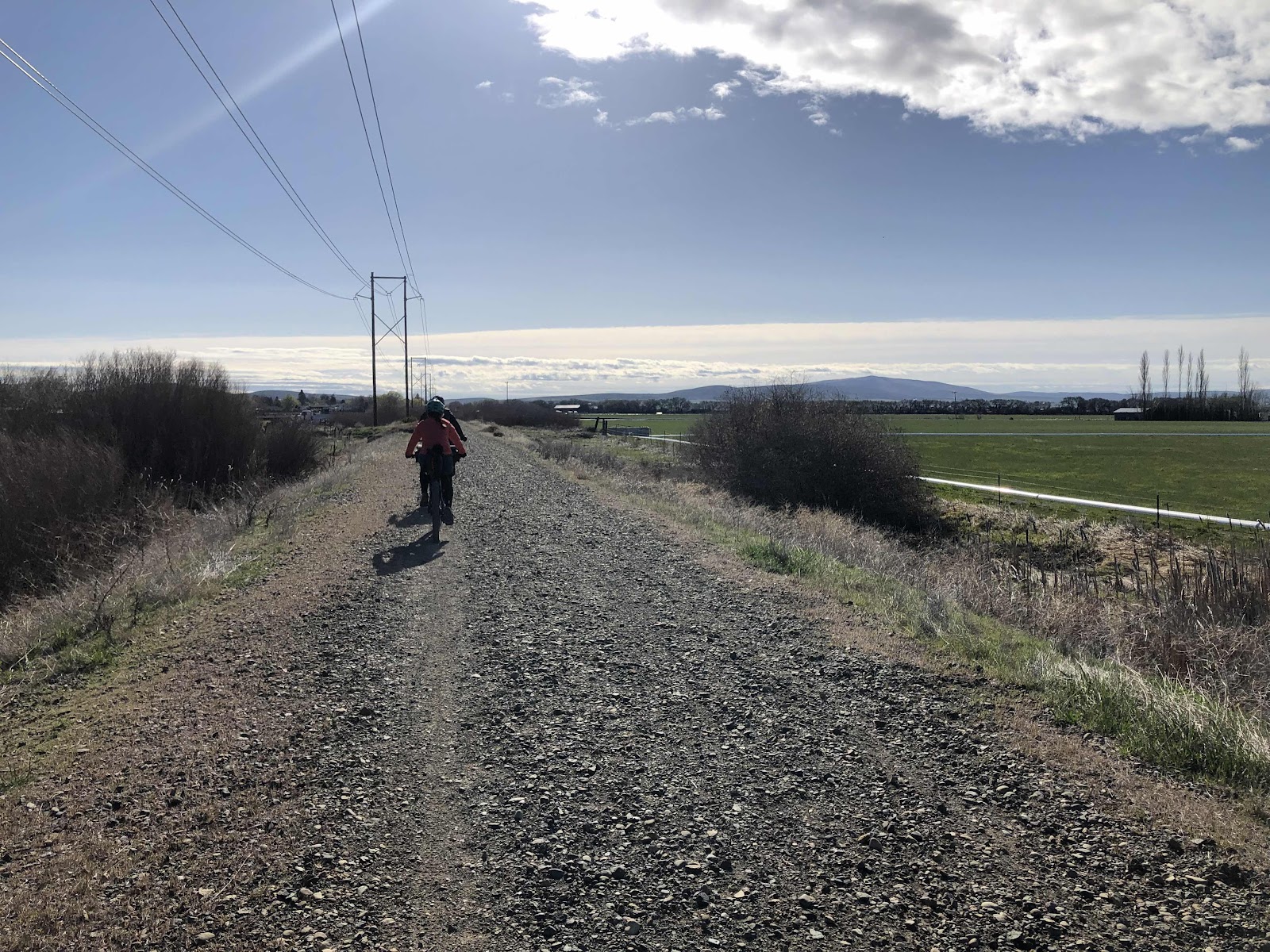
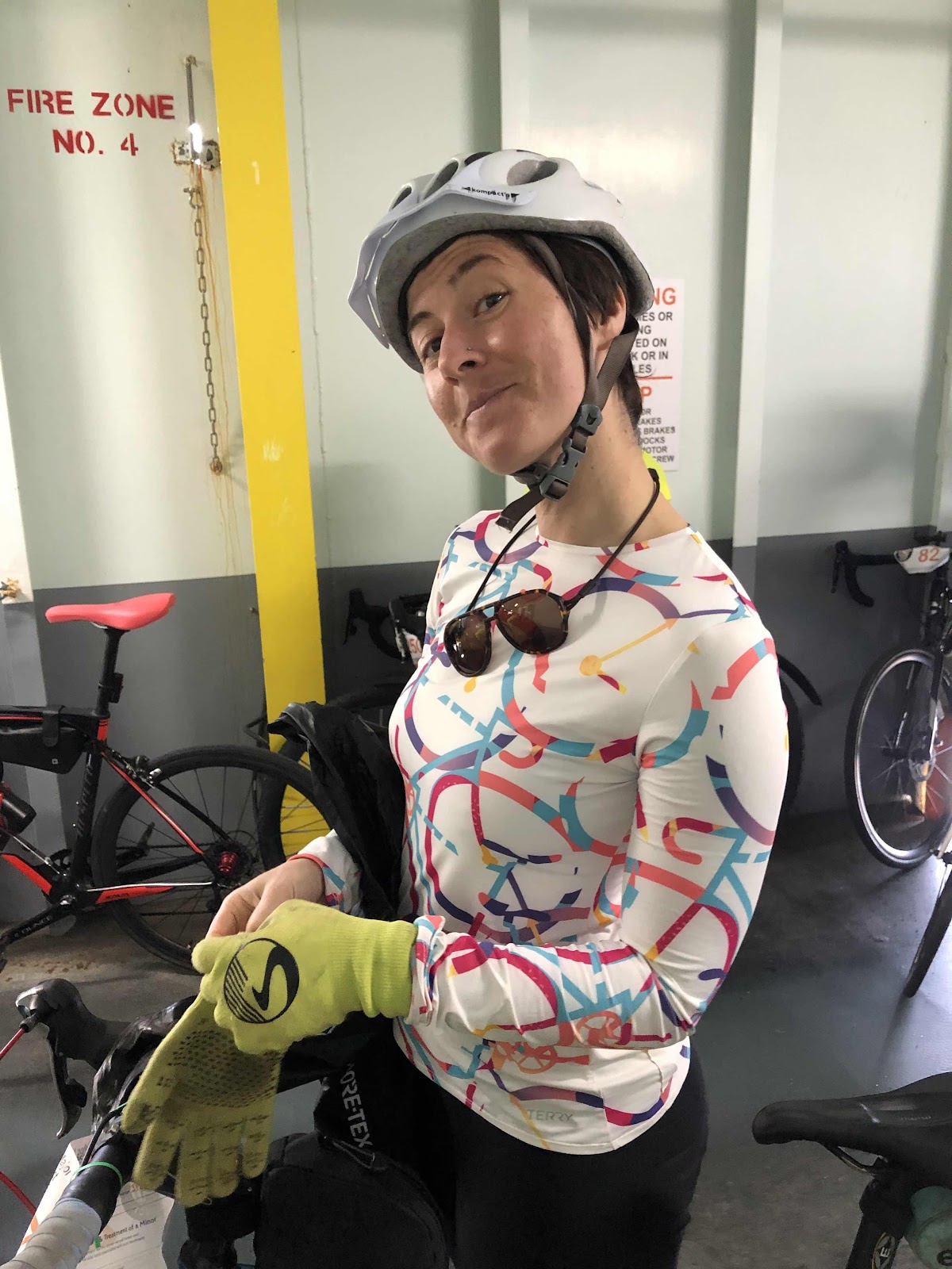
Next morning we managed to pull out of the driveway at 6:59! We arrived at the Sportmans’ Club with plenty of time to get ready, and chat with friends. I’d planned for Patrick to meet us at the start line at 8:00, but I couldn’t find him. Makaela, Erin, Brad, Stewart, Scott, and I (and a whole bunch of other people) launched off the start line at 8:00.
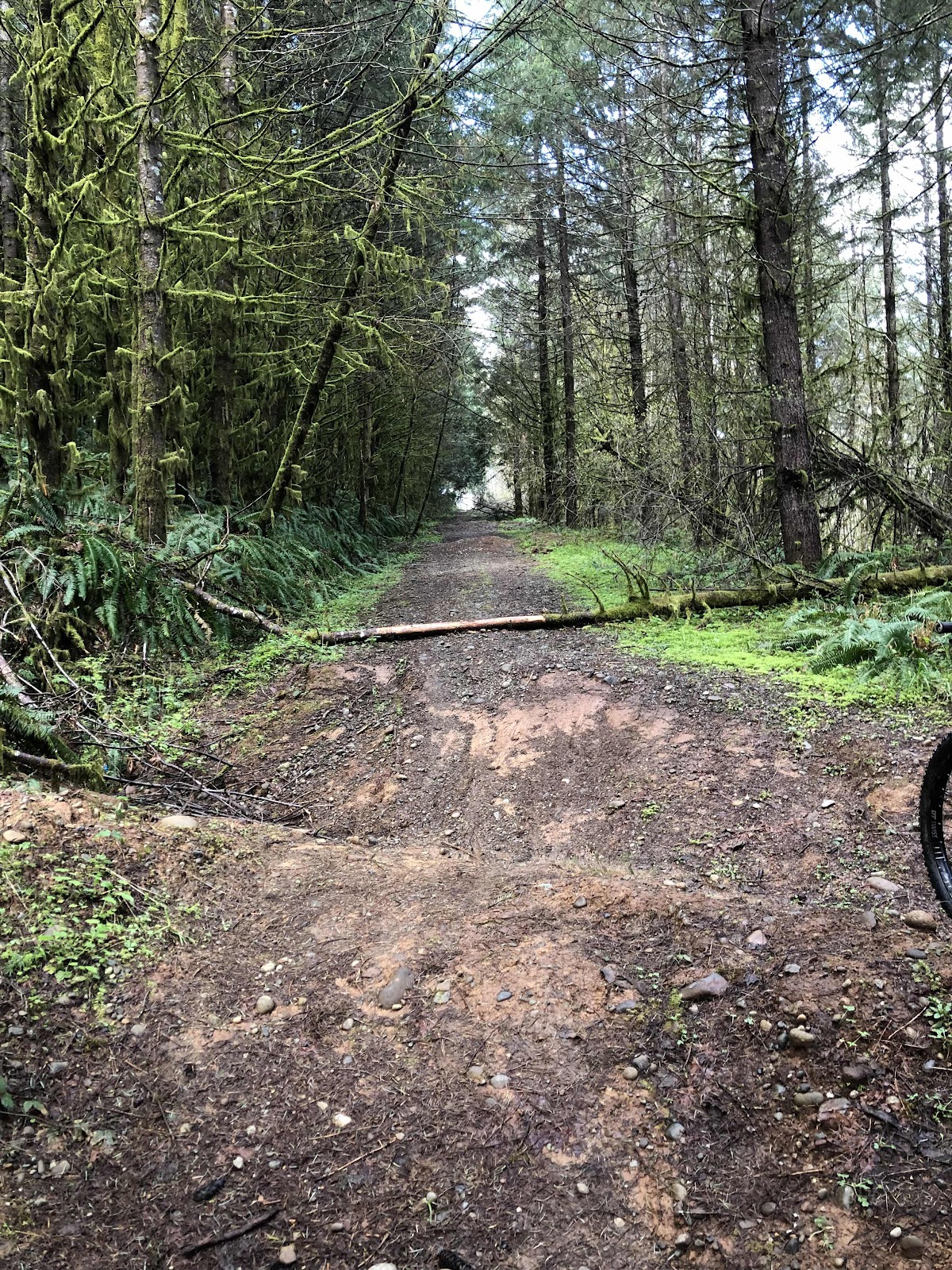
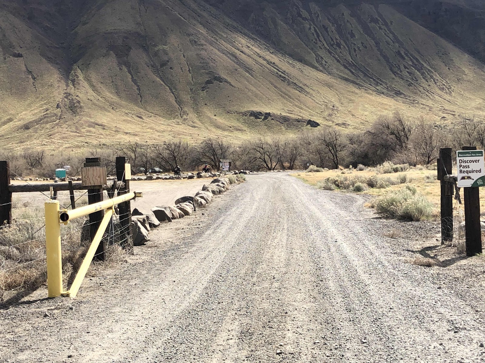
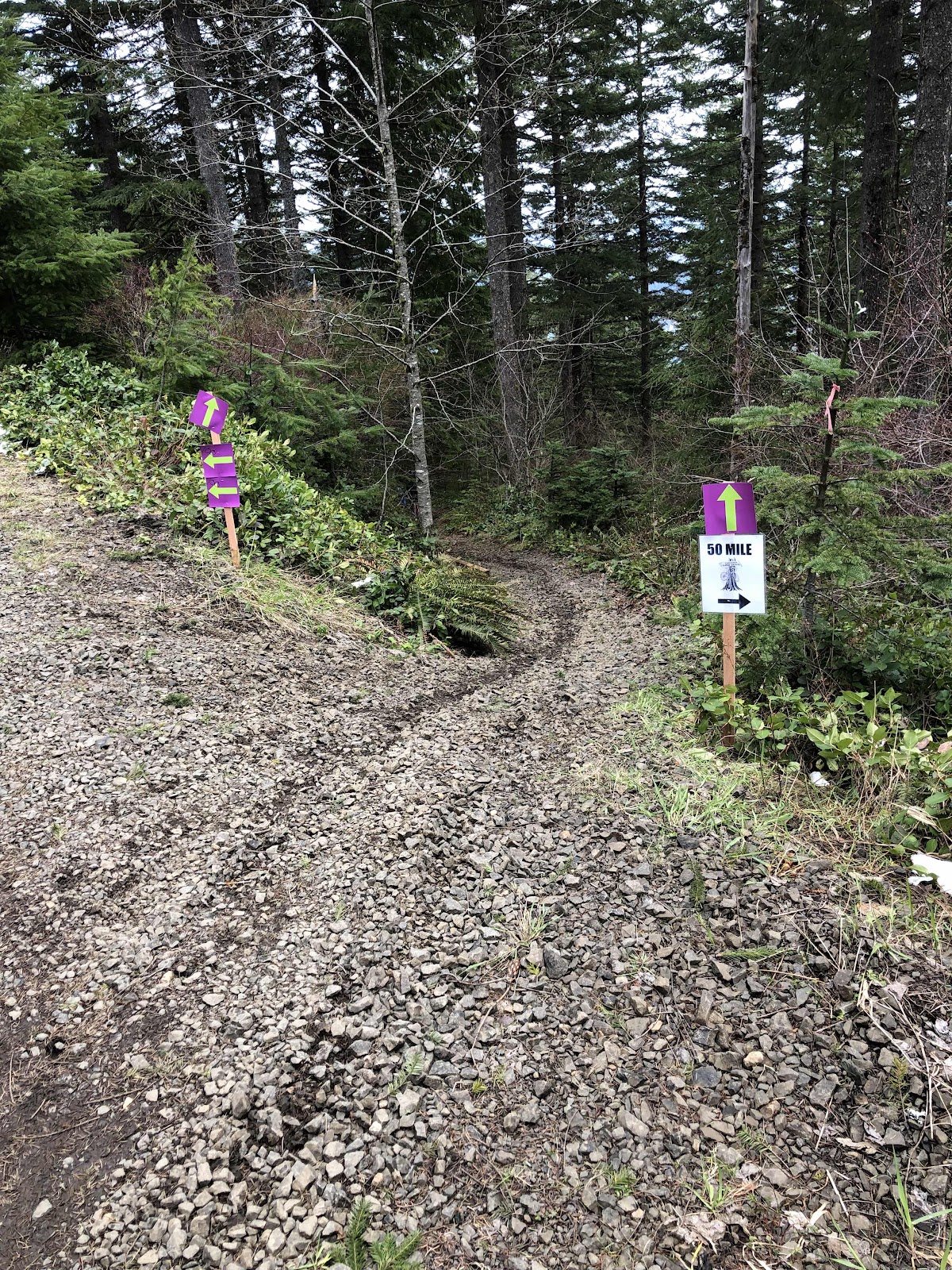
Cam had changed the beginning to the paved road due to some logging. That was fine by me! I didn’t want to start off with some sketchy singletrack (there would be plenty of opportunities for that later).
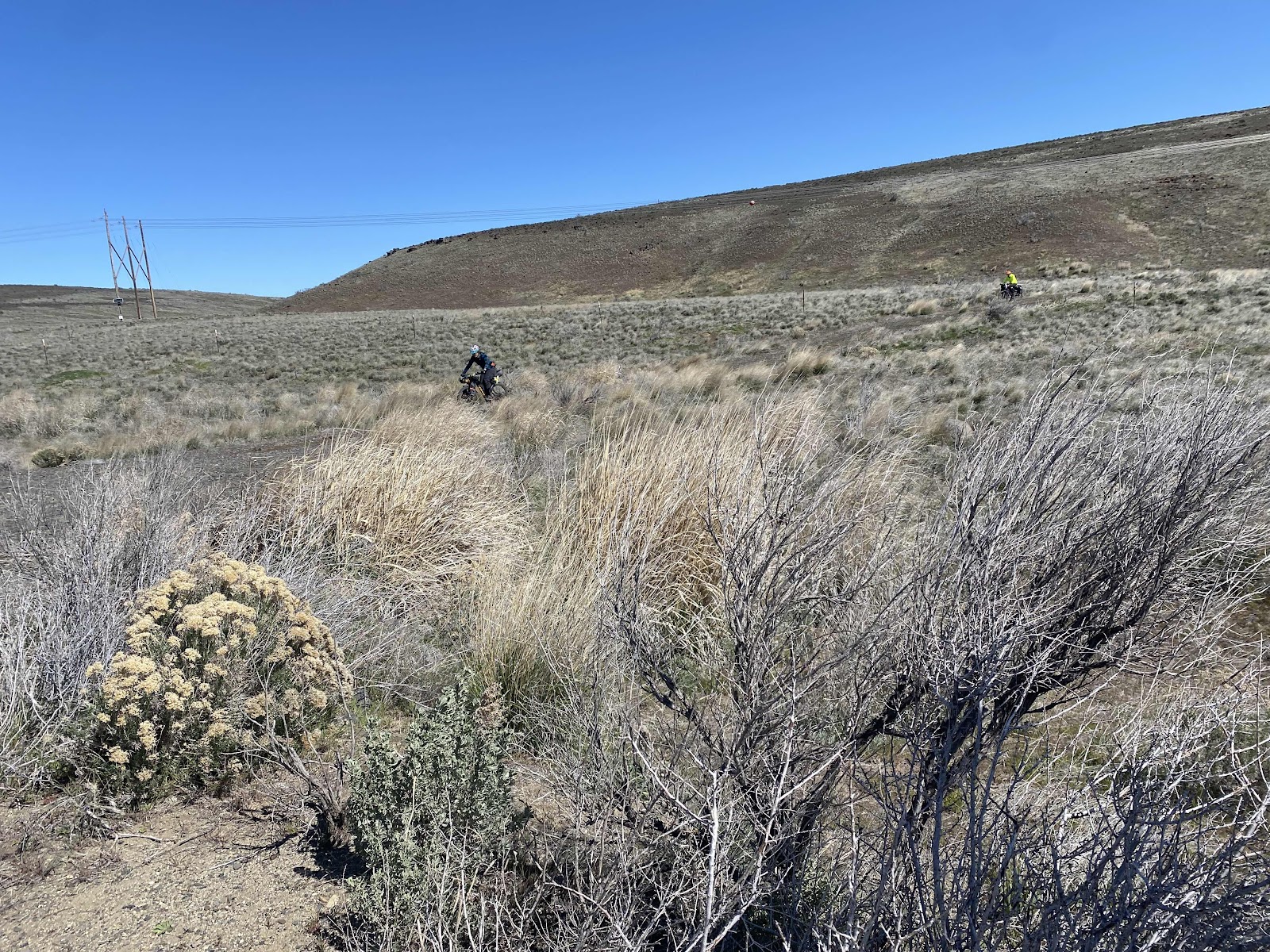
We did the paved climb to the E-Line, and that was the last I saw of Makaela. She is such a strong climber, and I was glad she was going on. I stayed somewhat close to Erin for awhile, but she too was soon off and riding strong. I caught up to Polly and Andy (they were doing the 30), and got to say hi a couple of times.
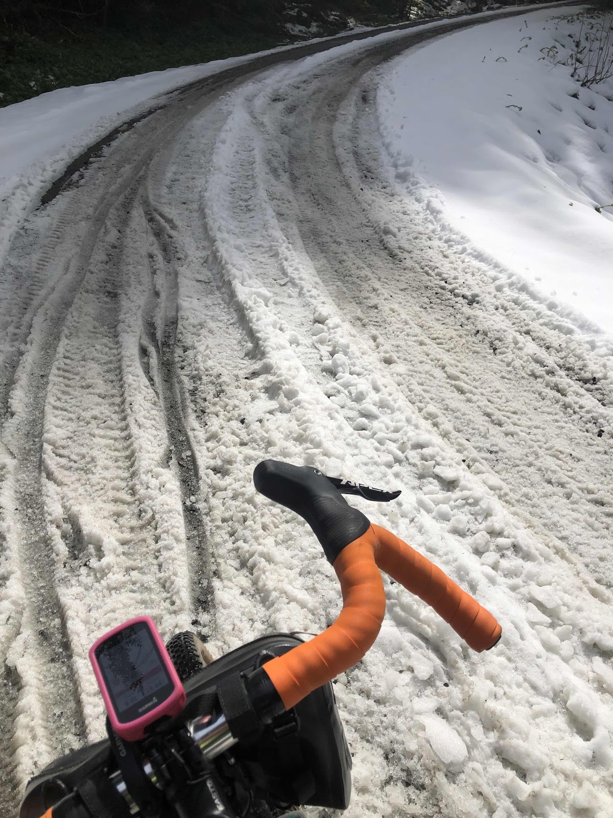
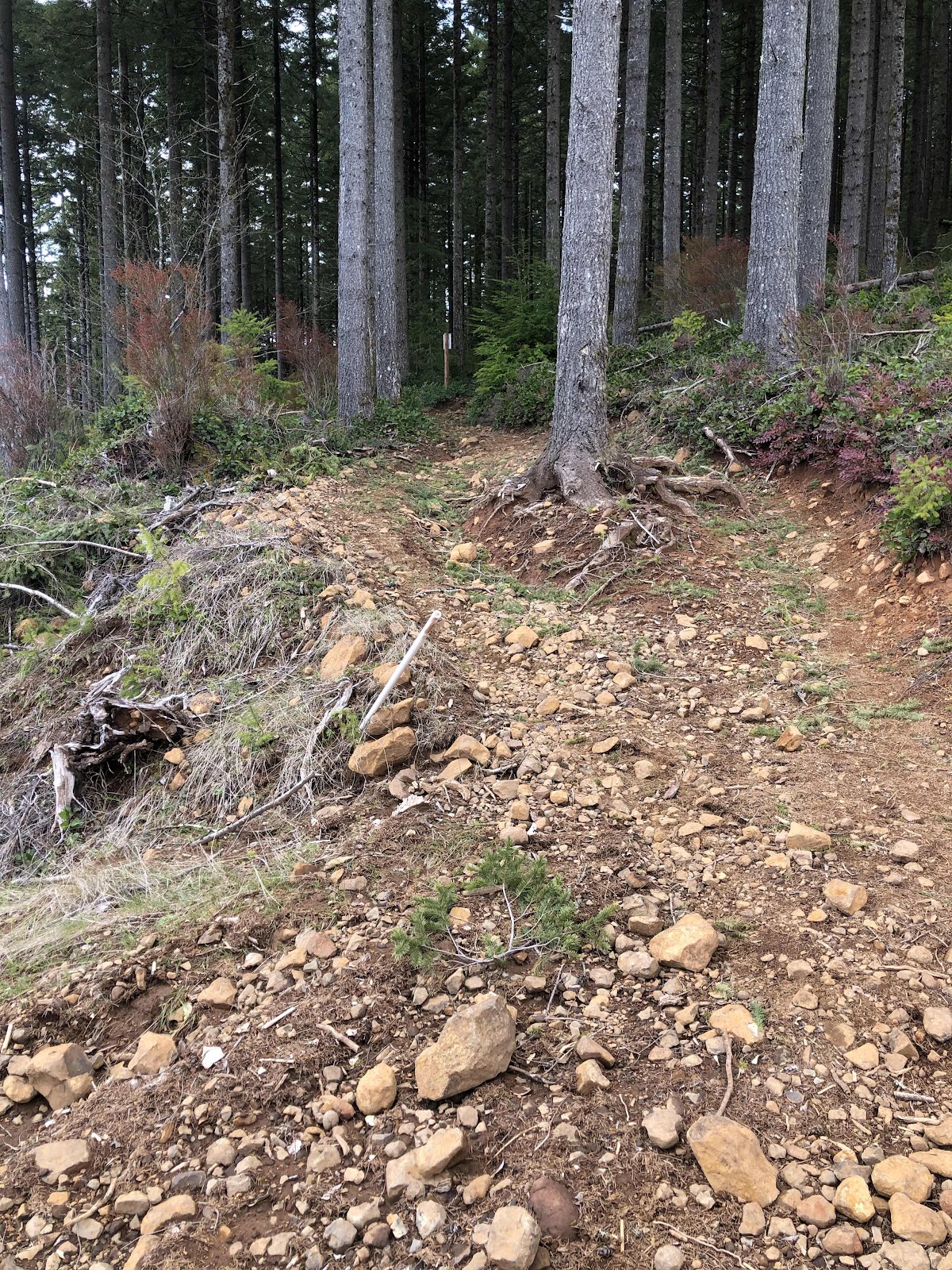
At the turn on to the chunky rock, and the way to the nasty hike-a-bike from last week’s ride, I let air out of my tires, and made the turn (even though I swore I would NOT do that part again)! Cam had done some work on it, but I still knew it was going to be another pushing session! Why did I subject myself to that torture again? Peer pressure? No. Stubbornness…maybe.
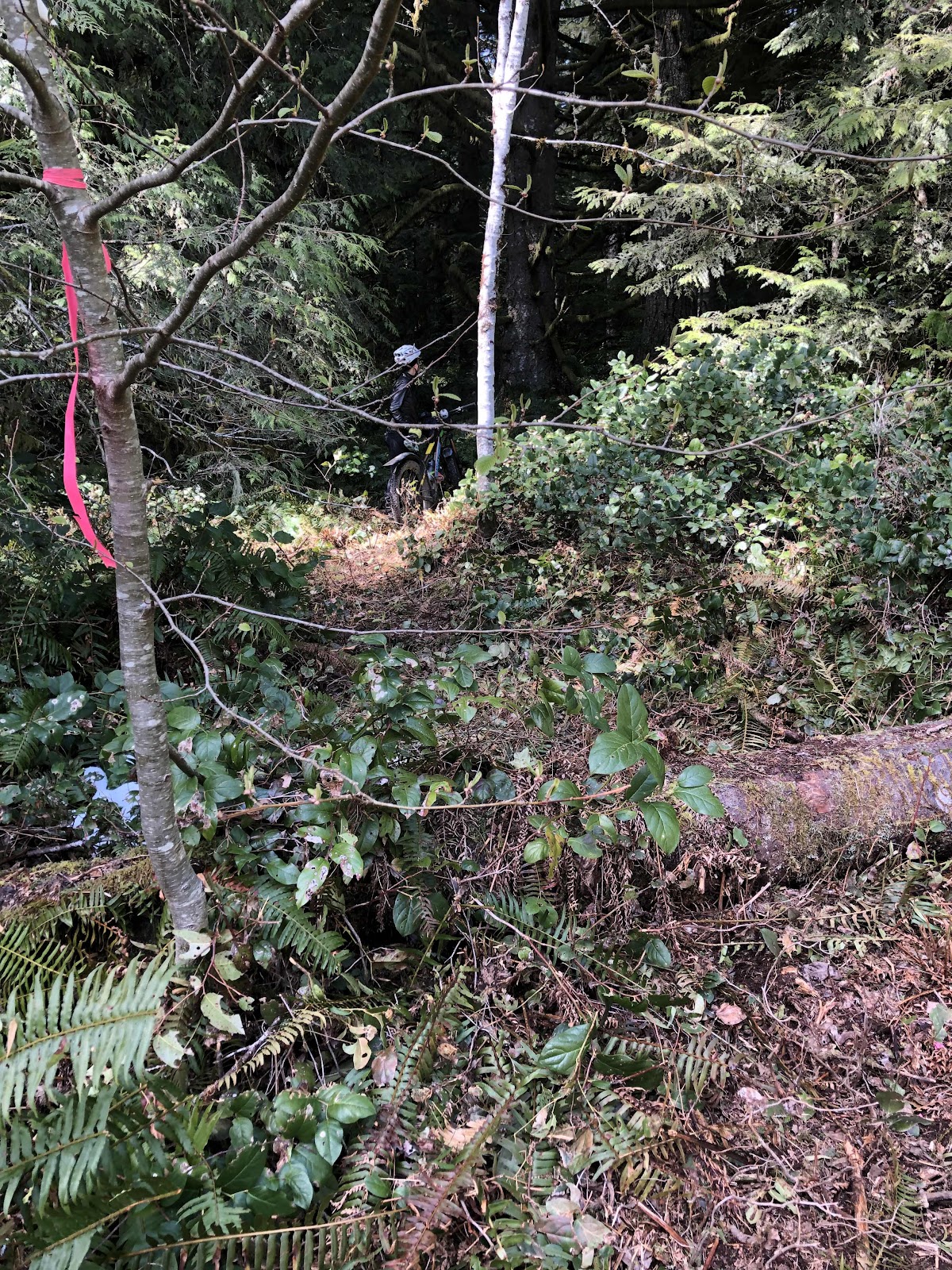
So, yes, it was a bit more cleared, but still not rideable, and just getting muddier with each rider going through. He had fashioned a bridge out of scrap wood across the creek, but it was still a muddy slope back up the other side. But…I did it.
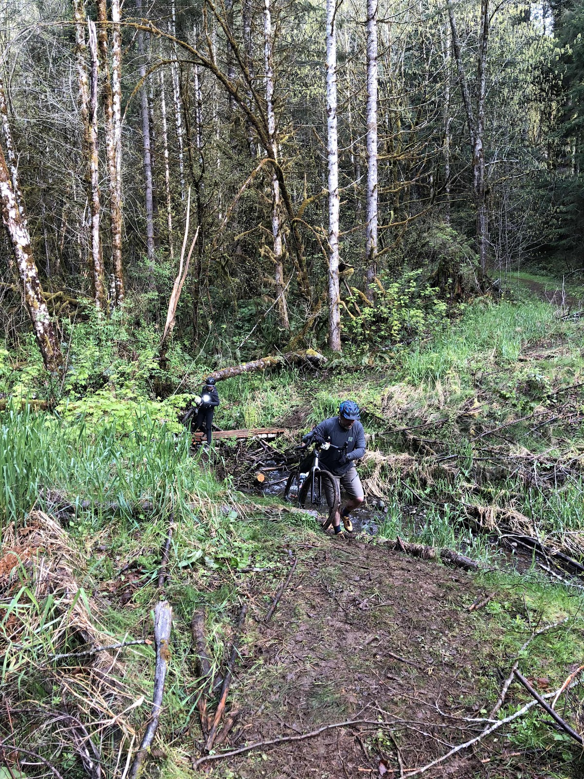
The creek crossing (with scrap wood bridge).
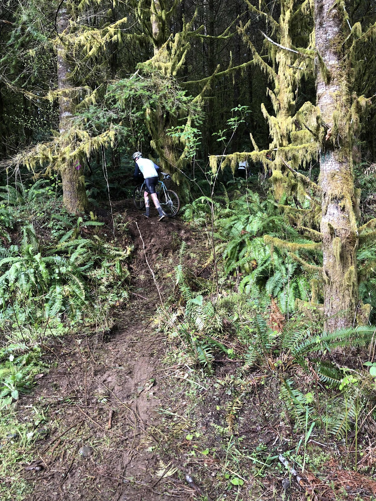
Still had to go up this mud slider.
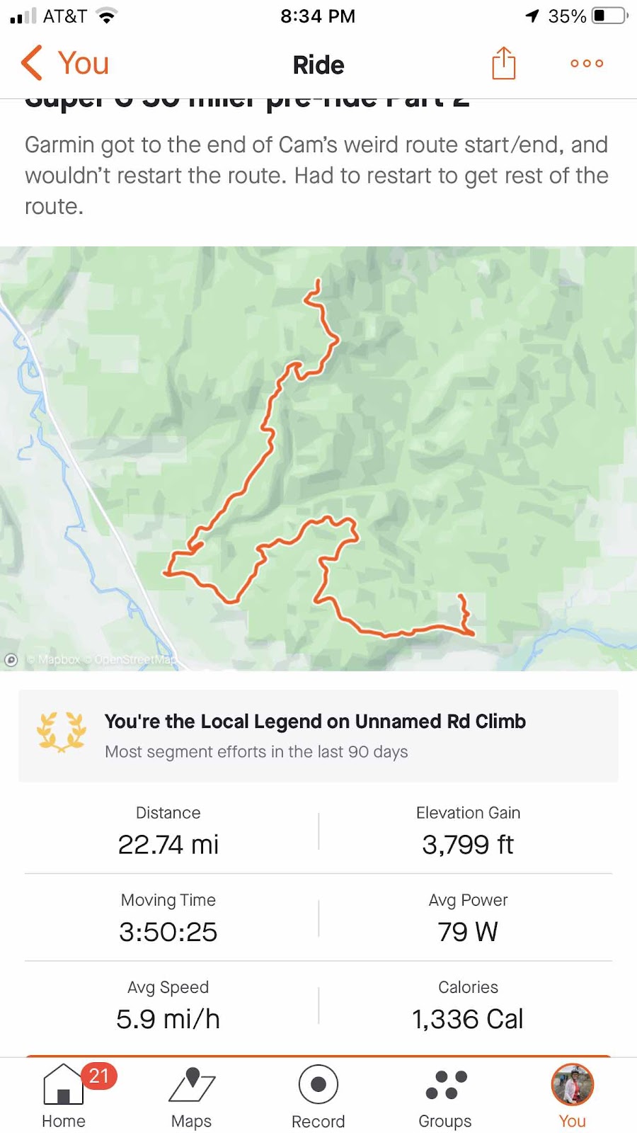
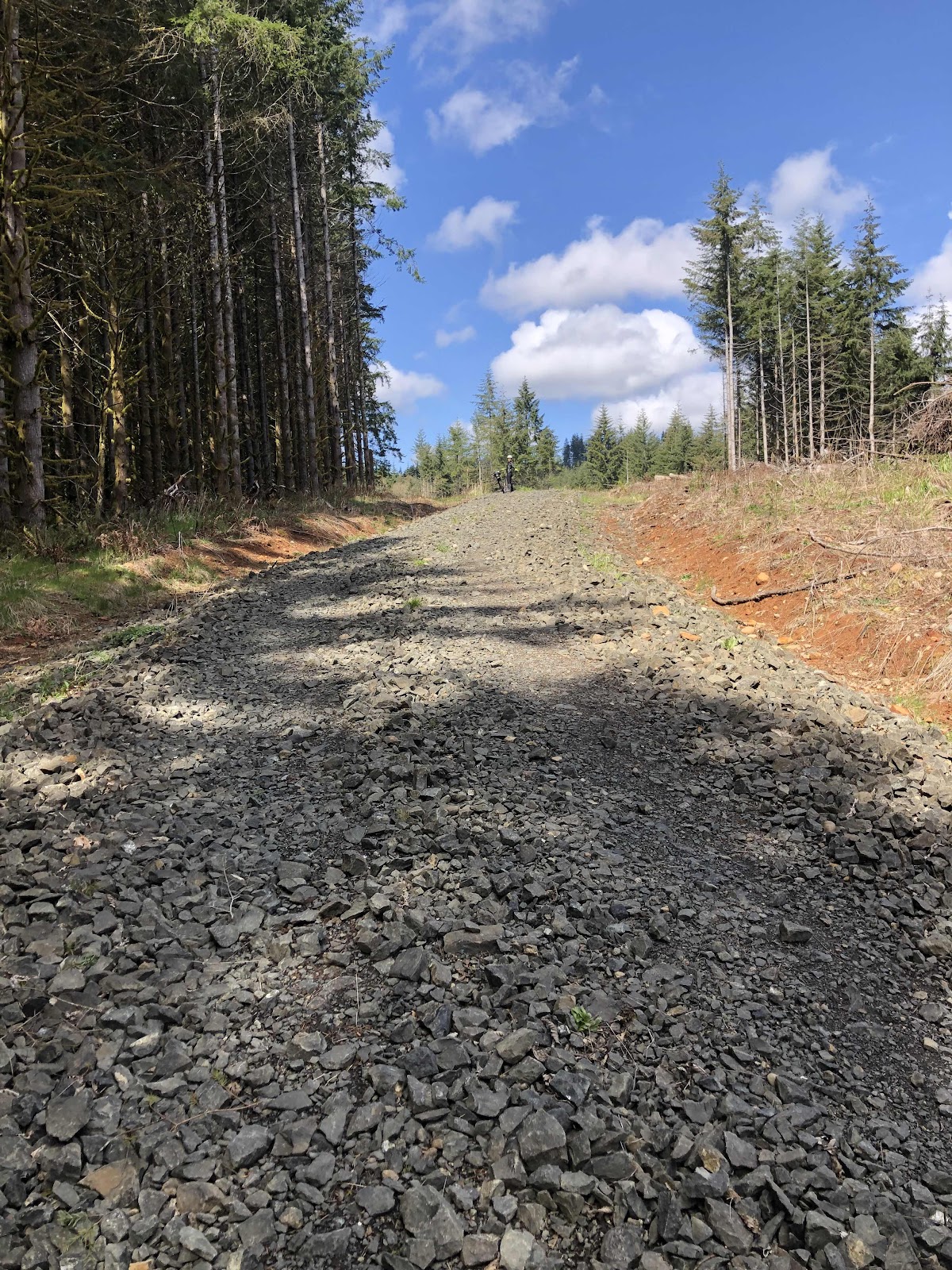
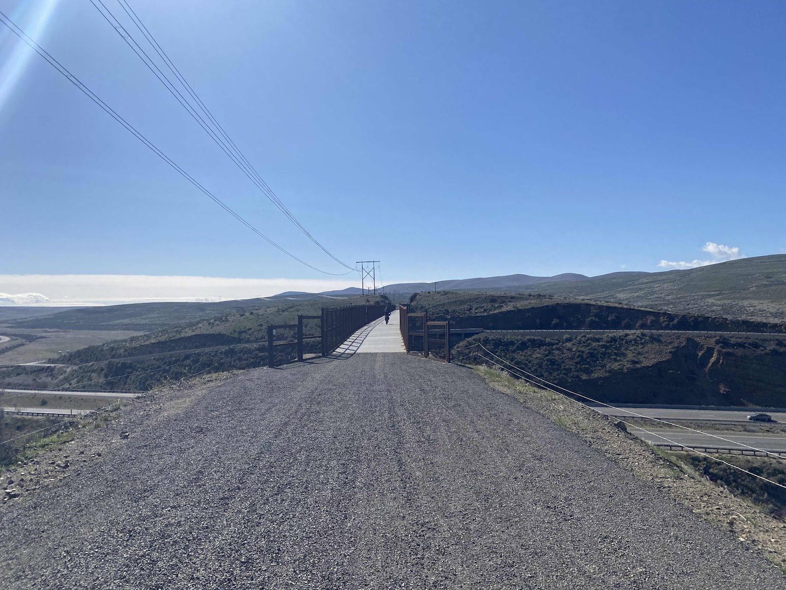
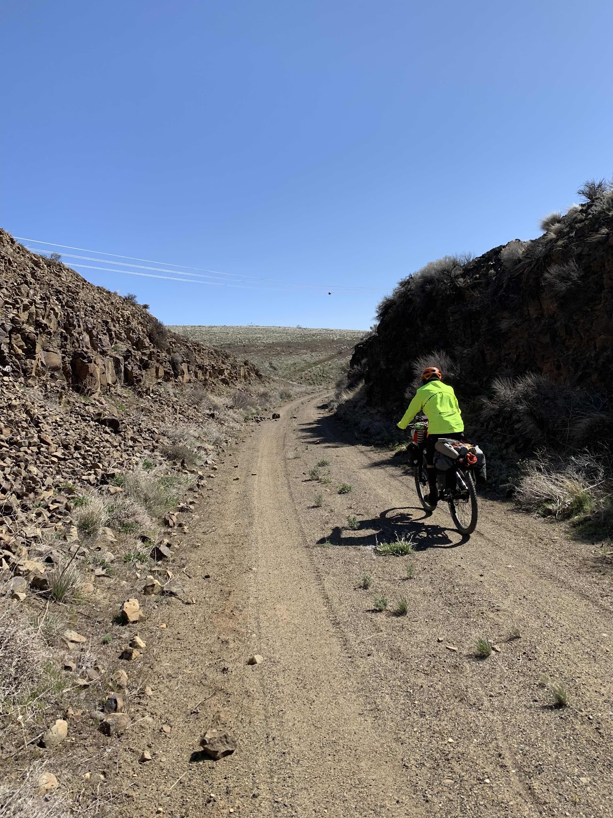
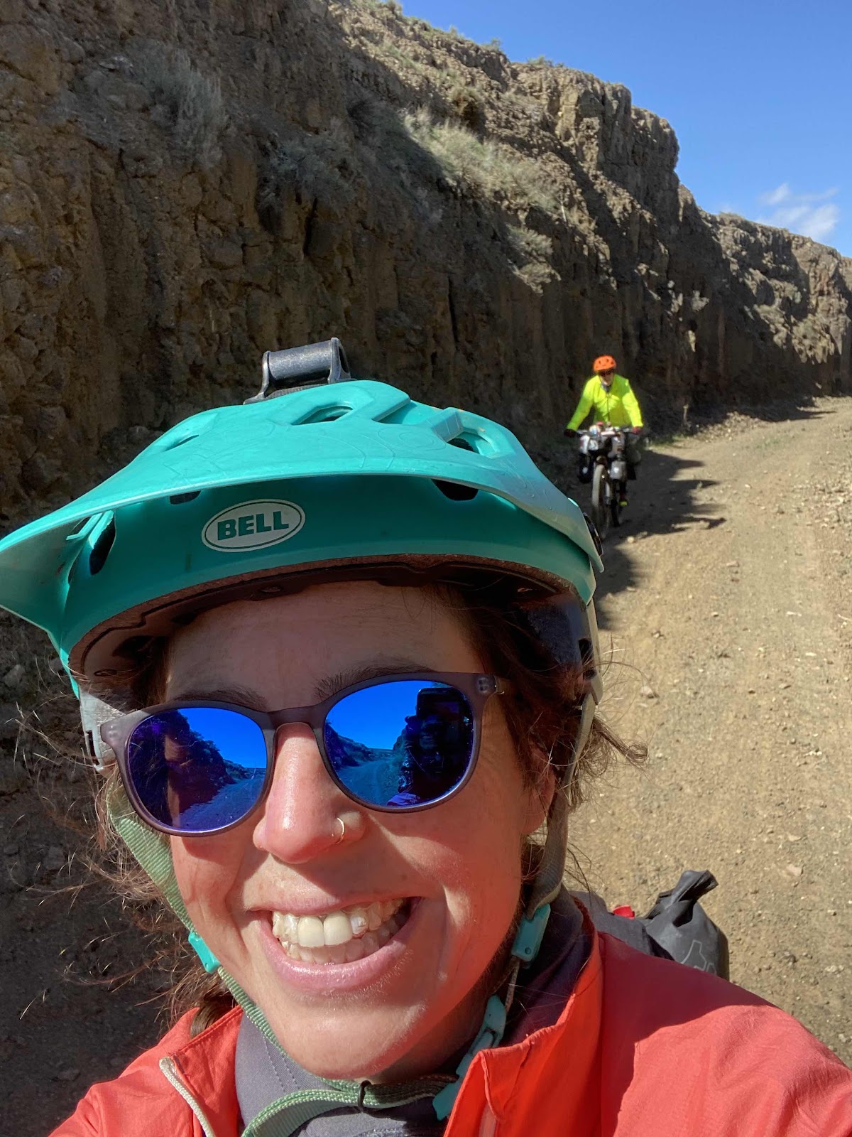
Once I got past the other chunky rock, I was actually able to ride all the way to the top this time! At the top, Cam had changed the route to go right, and over to the E-Line that way. It was a nice road.
I also went on the trail through the woods again. It was still a hike-a-bike, but with all the traffic through it, it was easier.
I made it to the first rest stop/aid station in reasonable time. That’s when Patrick showed up. He had been just a couple minutes behind me the whole time!
After filling a bottle, and eating some food, we took off together. We would ride the rest of the route together, which was really nice.
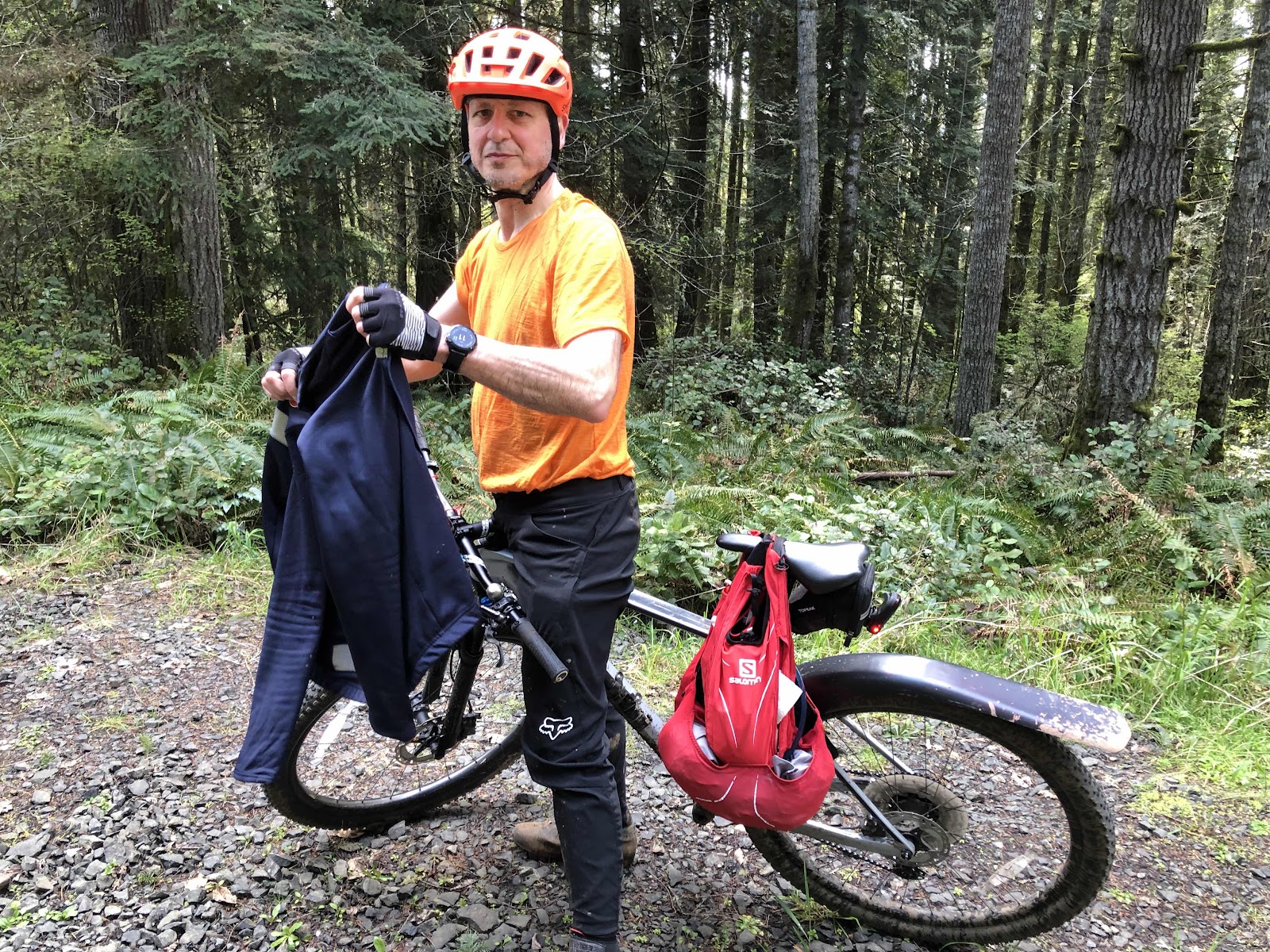
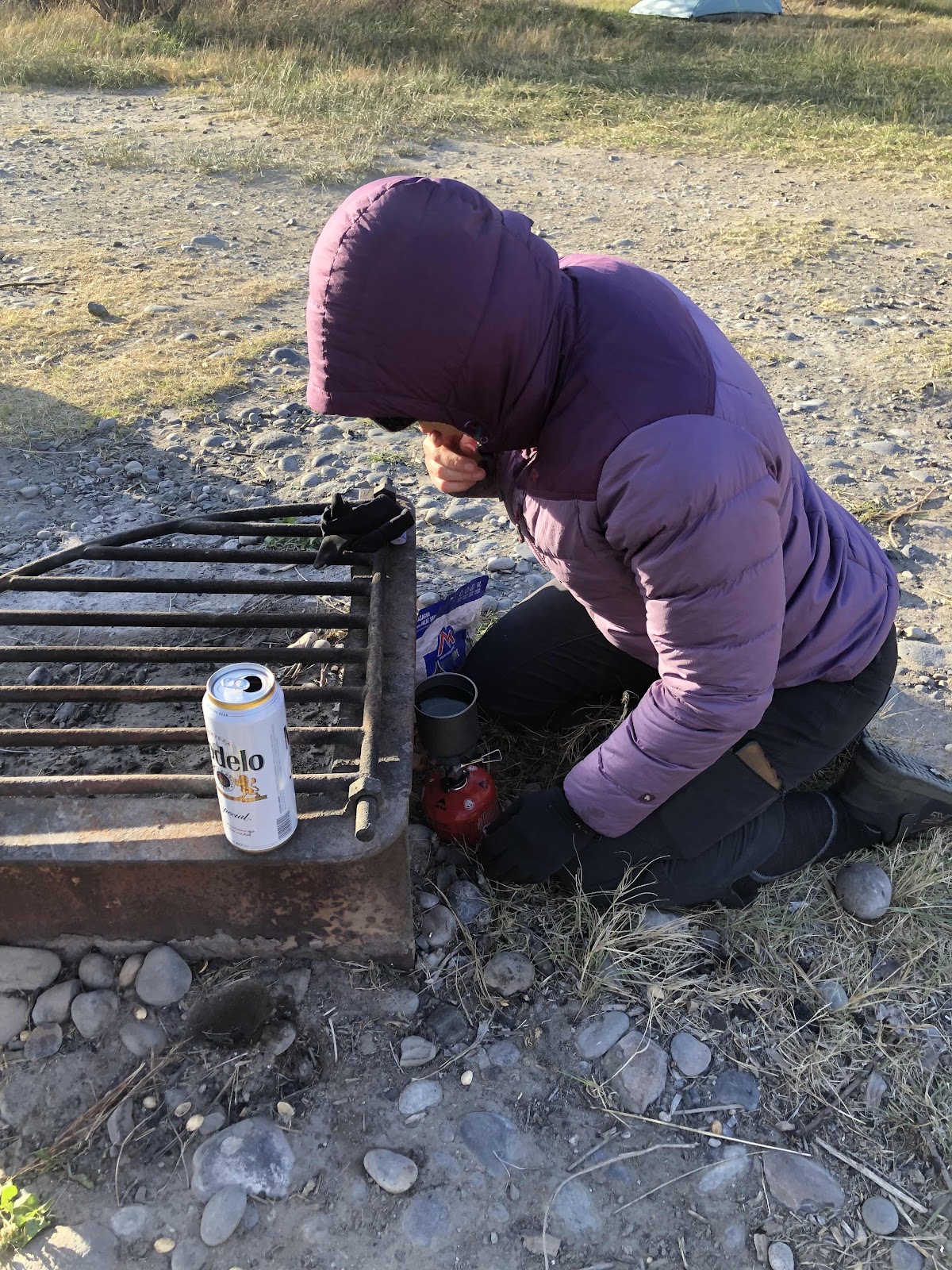
Removing a layer on the D1000 climb.
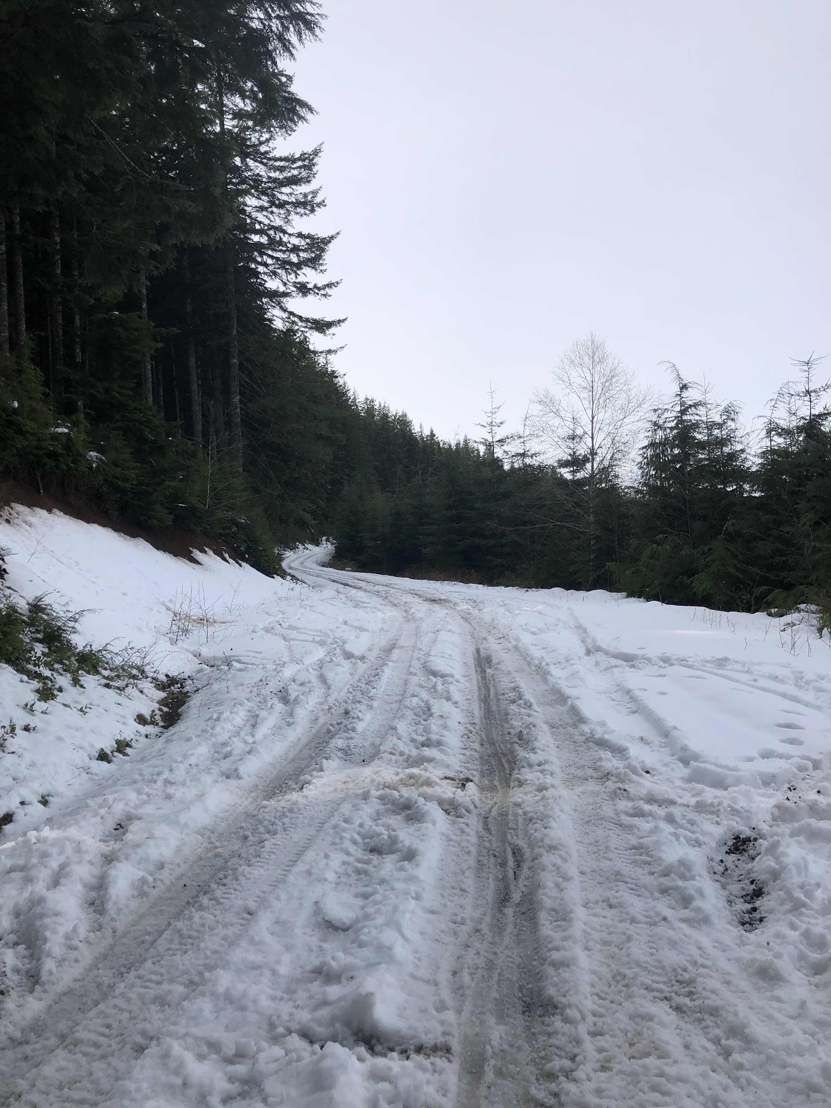
The next concern was whether the snow had melted on D1000 and the C-Line. We were rewarded with clear roads all the way to the top. Even C4000 was 99% clear with a decent double track.
We made it to the 2nd Aid Station. I informed Jason and Kyle that I had NOT cut the course. We filled up on some more food, and filled up a bottle with electrolytes.

I did not partake in the free tequila. Maybe I should have!
There was even a fire!
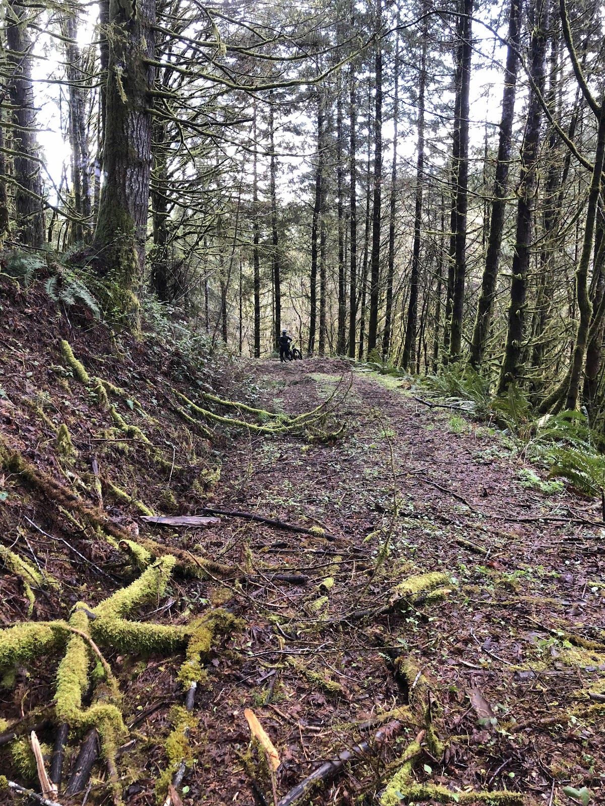
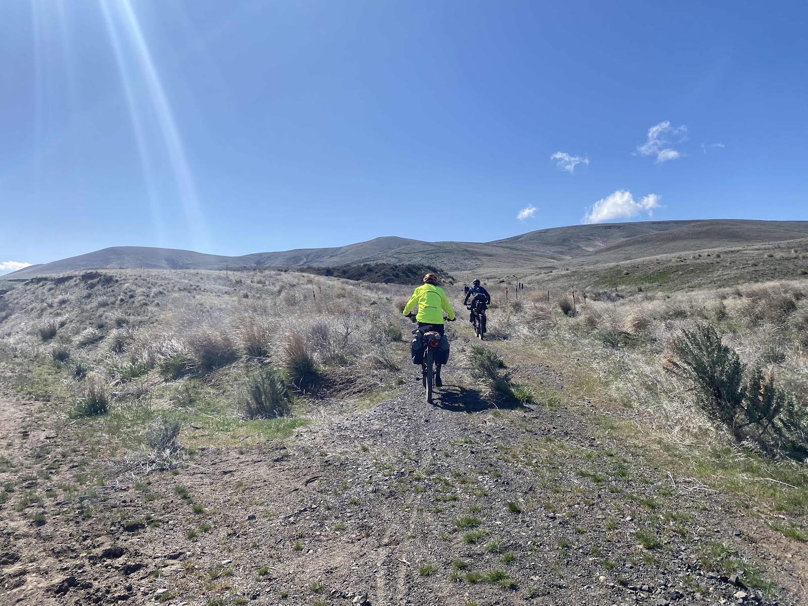
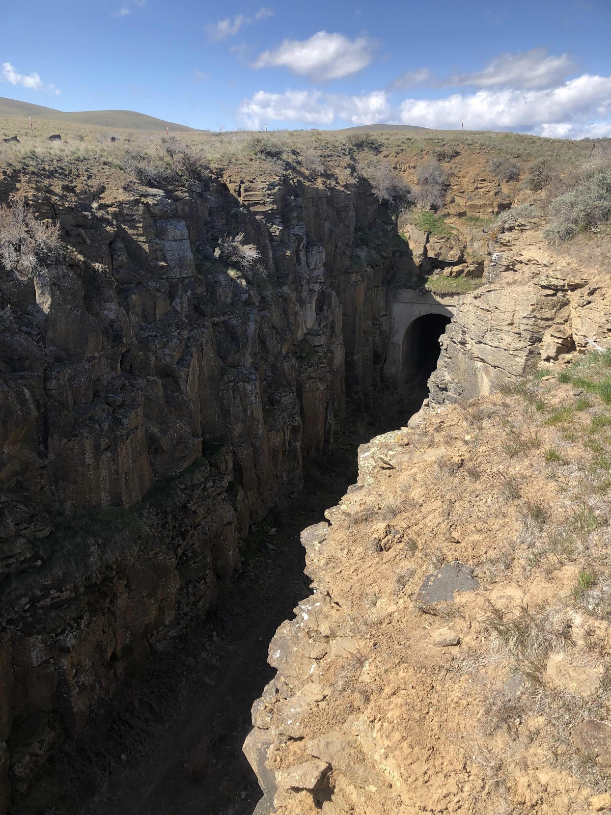
By this time, I had pretty much committed to doing the course as Cam had routed it. I knew I wasn’t going to like it. I knew it would even be sketchy to walk, but I would do it. This was the Twin Peaks Trail. It’s a moto trail. It’s big rocks, and steep 18% switchbacks! It’s not fun. I am not a mountain biker!
This doesn’t even do the sketchiness justice!
The last part of Twin Peaks. It wouldn’t have even been fun to hike down WITHOUT a bike!
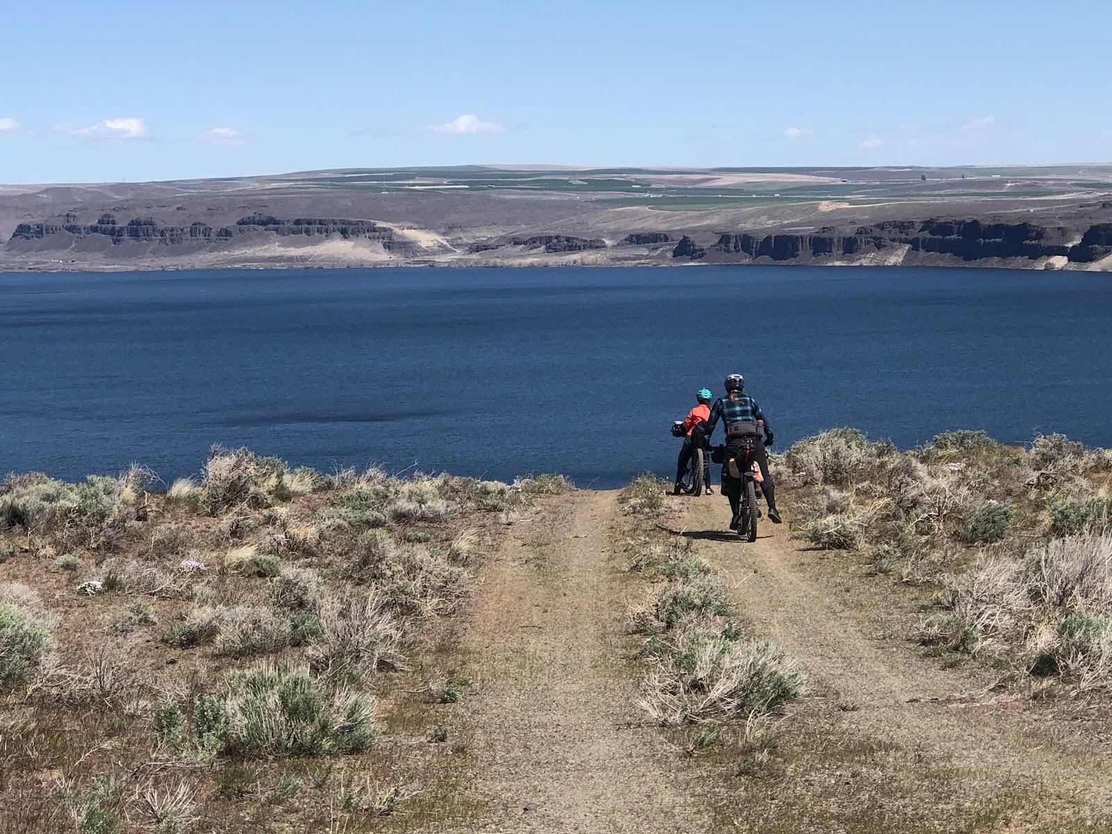
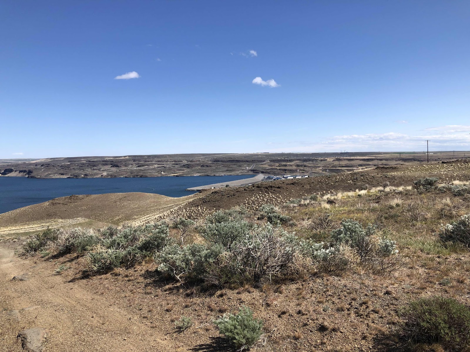
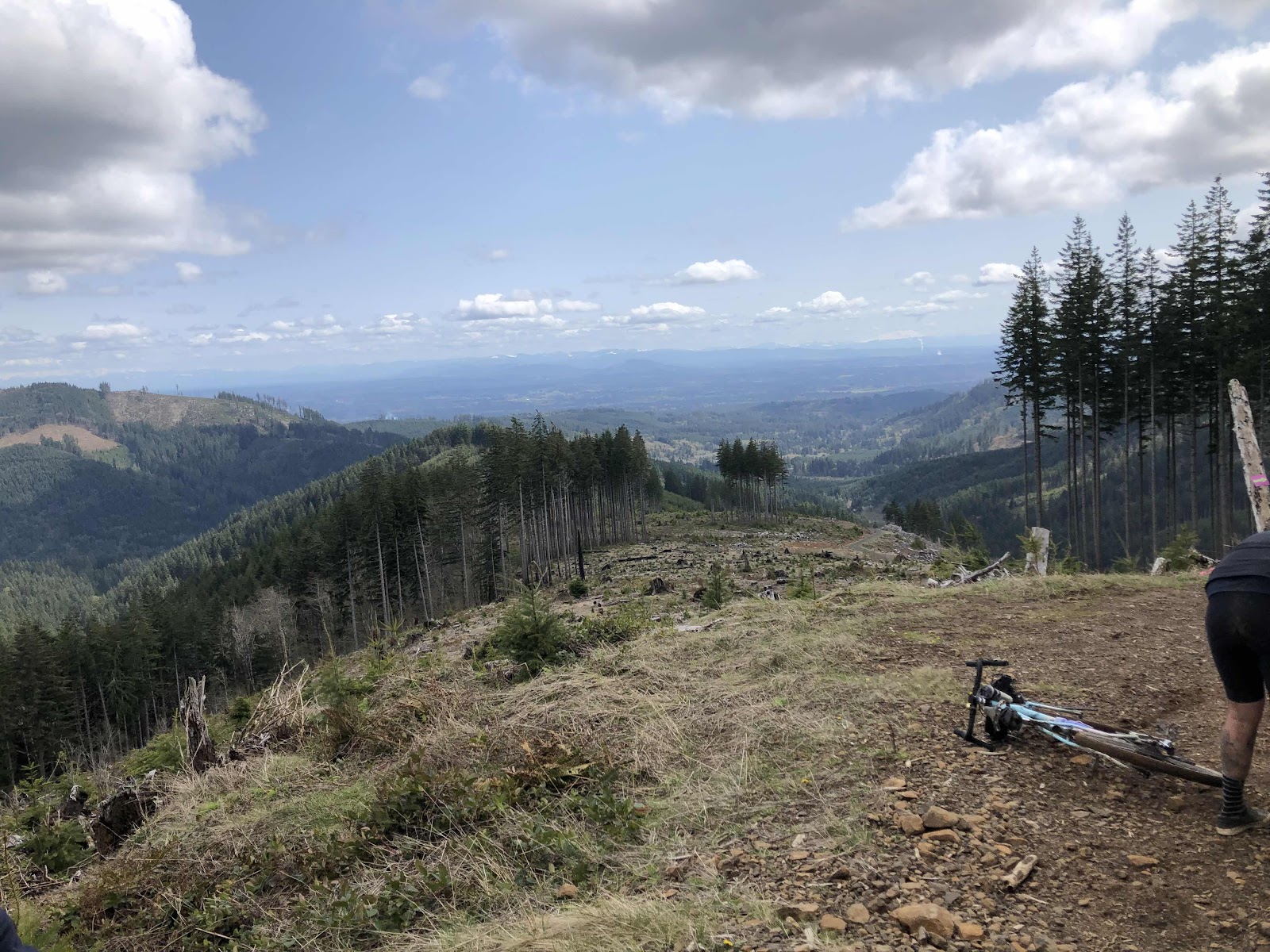
From there we were on the Waddell Basin Trail. It started out as more of a road. There was this nice view at the top.
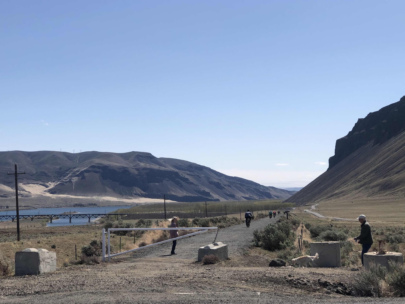
You can kind of see the road down below. That’s where we were headed. Then it became a trail again. A trail full of big puddles. After awhile, I just started riding through them. Some were quite deep…my feet got wet. They did, however, clean some of the remaining mud off my tires! At one point, I said to Patrick, who was ahead of me, “I don’t like this, Patrick!” Not that either one of us could do anything about it.
The best part was when I could see on my Garmin that the next turn was the C-Line. The singletrack was almost done!
Once we made it to the C-Line, the entire rest of the ride was on familiar road. Even though there were still miles to go, they were known, gravel road miles.
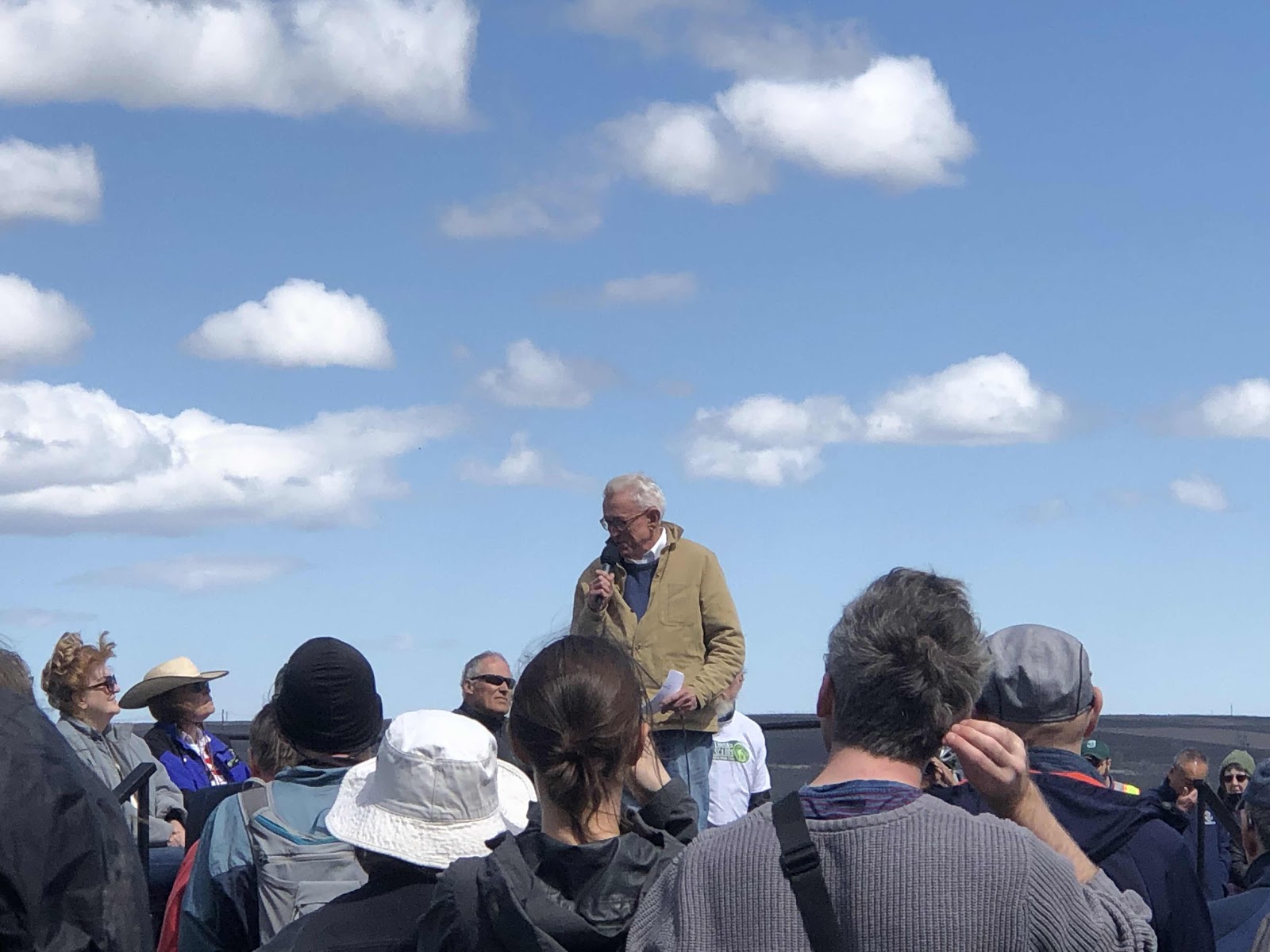
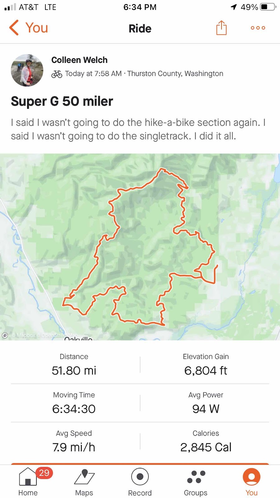
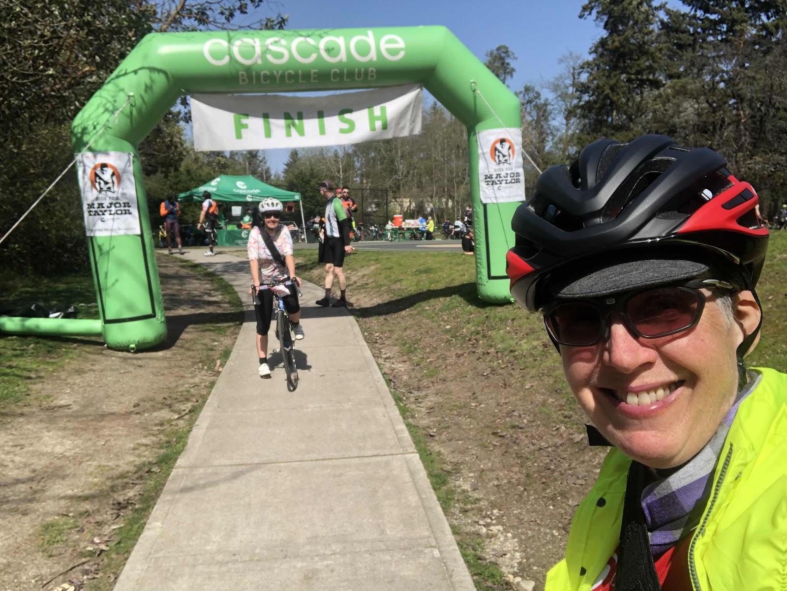
We crossed the finish line at about 4:00. Everyone was there to cheer us on as we finished. As I grabbed a couple of slices of pizza, Jana got ahold of the microphone, and said she wanted to tell everyone about someone “special”. Jeez! It was me! She said I had recently had a birthday (okay, 5 months ago), and went on to tell everyone how I do rides to get people on bikes (the “midwife” of cycling), and if you want to ride I’m the one to talk to. That was very nice. Everyone applauded (and several wished me a Happy Birthday). I have some very amazing friends! Erin even brought me a chair which was very welcome! It really was a great day, hike-a-bike and all!
Makaela and I headed home to then turn around and go up to Seattle for Day 2 of this crazy weekend.
Sunday and a Little Ride for Major Taylor
I had booked us the seediest hotel I could find near where we would be starting the next morning. Okay, I didn’t purposely book the seediest hotel…don’t trust the photos! Fortunately, we were only there to sleep, and also it was fortunate that the window opened, because there was a funky smell! It was advertised that they had a continental breakfast…nope. Good thing I still had a bag of nuts from the day before! At least there was an underground parking garage, and we were able to back the car into a spot against the wall, so we could leave the bikes in the car.
We were, once again, up early and headed to the start. Today was the Ride for Major Taylor benefit ride. You can look it up. It’s a worthwhile cause. We had chosen to do the 100km route (because, if I’m going to pay a chunk to do a benefit ride, I’m going to do the longest distance…even if I did just do a 50 mile gravel race the day before).
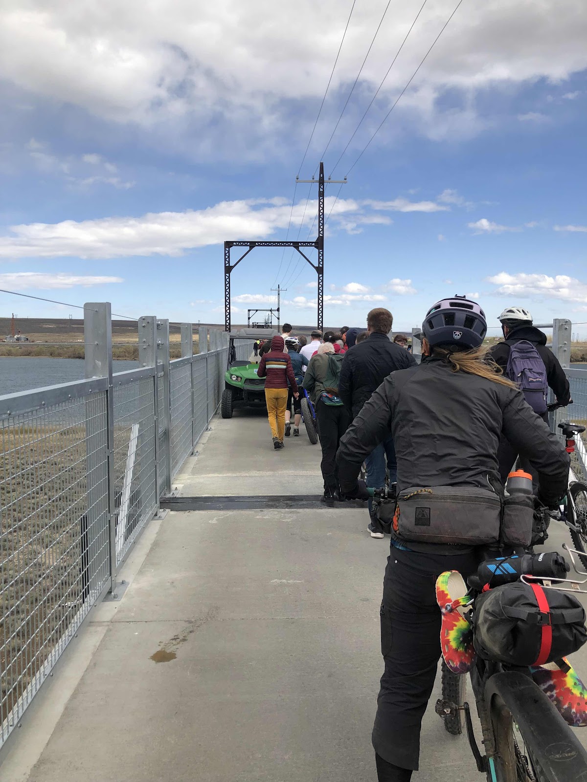
We were on the course at 7:45. As 100km riders, we would make our way to Point Defiance to take the ferry to Vashon, ride from one end of Vashon to the other, and take the ferry to Fauntleroy. From there we would head back to White Center, and the finish.
The route was pretty hilly. There were 7 climbs that initiated the climb profile on my Garmin, but there were numerous other rollers. We weren’t sure how our legs would feel after yesterday, but we both found them to be pretty okay. In fact, we were moving along quite nicely. Of course, the minute we came to a hill, Makaela went flying up as if she had been launched out of a slingshot, while I chugged along, sometimes wishing I had a couple more gears!
Before we knew it, we were at the first rest stop. Since I hadn’t had much of a breakfast, I had a banana, some fig bars, and a packaged hazelnut-filled crepe.
Refreshed, we returned to the route. More ups, and more downs brought us along the water, then back up away from the water, only to come back down. We came into the industrial Port of Tacoma where we got an extended break because there was a train blocking the route.
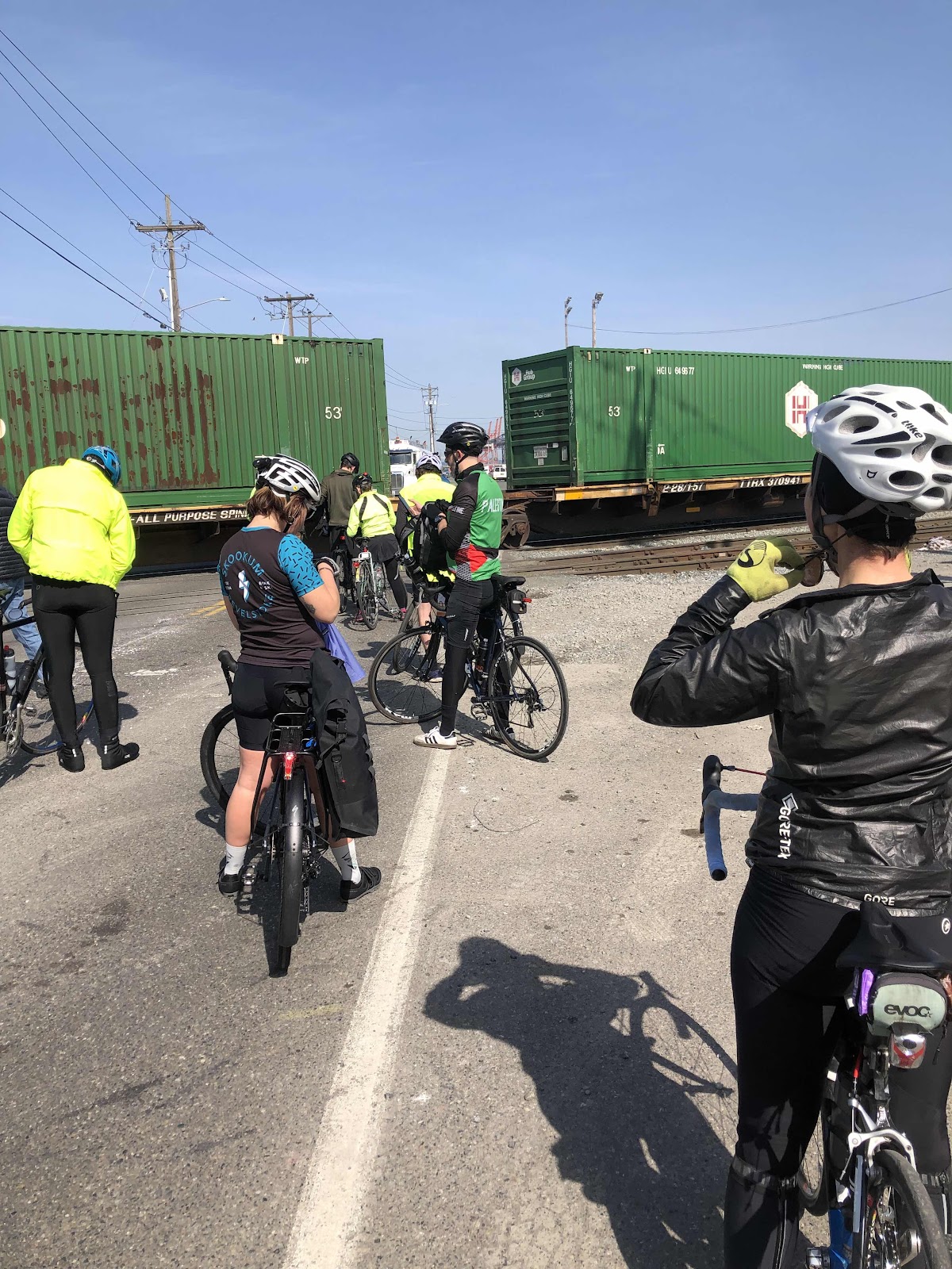
More and more cyclists arrived as we waited for the train to move.
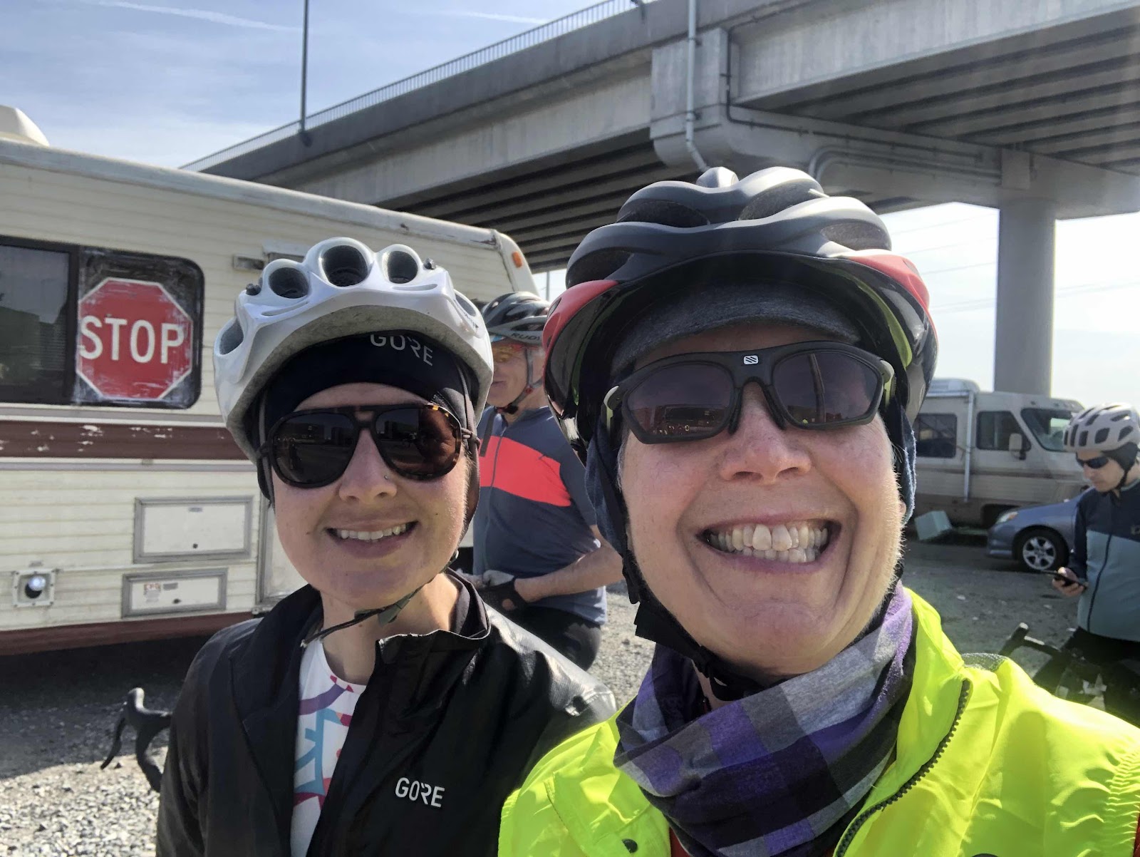
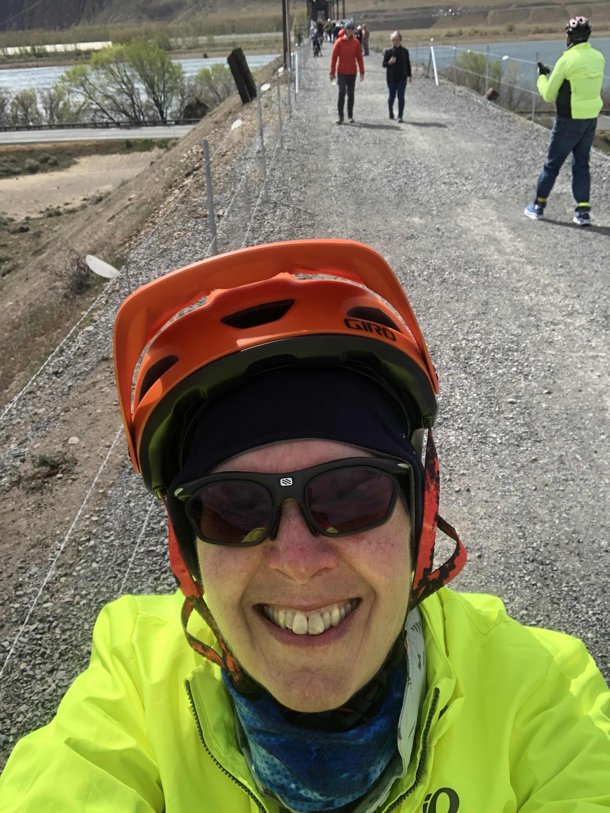
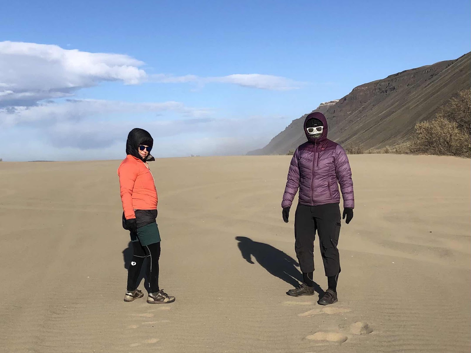
We took a selfie while we were waiting.
Finally the train started to move. We all got ready. Then it stopped. Finally it began to move again, in the other direction! At last we could see the end!
Now a large group, we all took off together. Makaela and I got in with a speedy bunch of guys. Makaela managed to stay with them, while I eventually dropped off the back.
I caught up to them again as we came over the bridge into downtown Tacoma. We moved as a critical mass through red lights (apparently no one wanted to stop on the uphills). Once again, I dropped off on the extended climb.
We eventually dropped down to the waterfront, and rode the rest of the way to Point Defiance. Makaela had stayed with the fast guys the whole way! Like I said, she is strong!
The ferry wasn’t there yet, so I had time to grab another snack. I also took some food for the ferry. Because of the train delay, we were a big group getting on the ferry. They put all of us on one side.
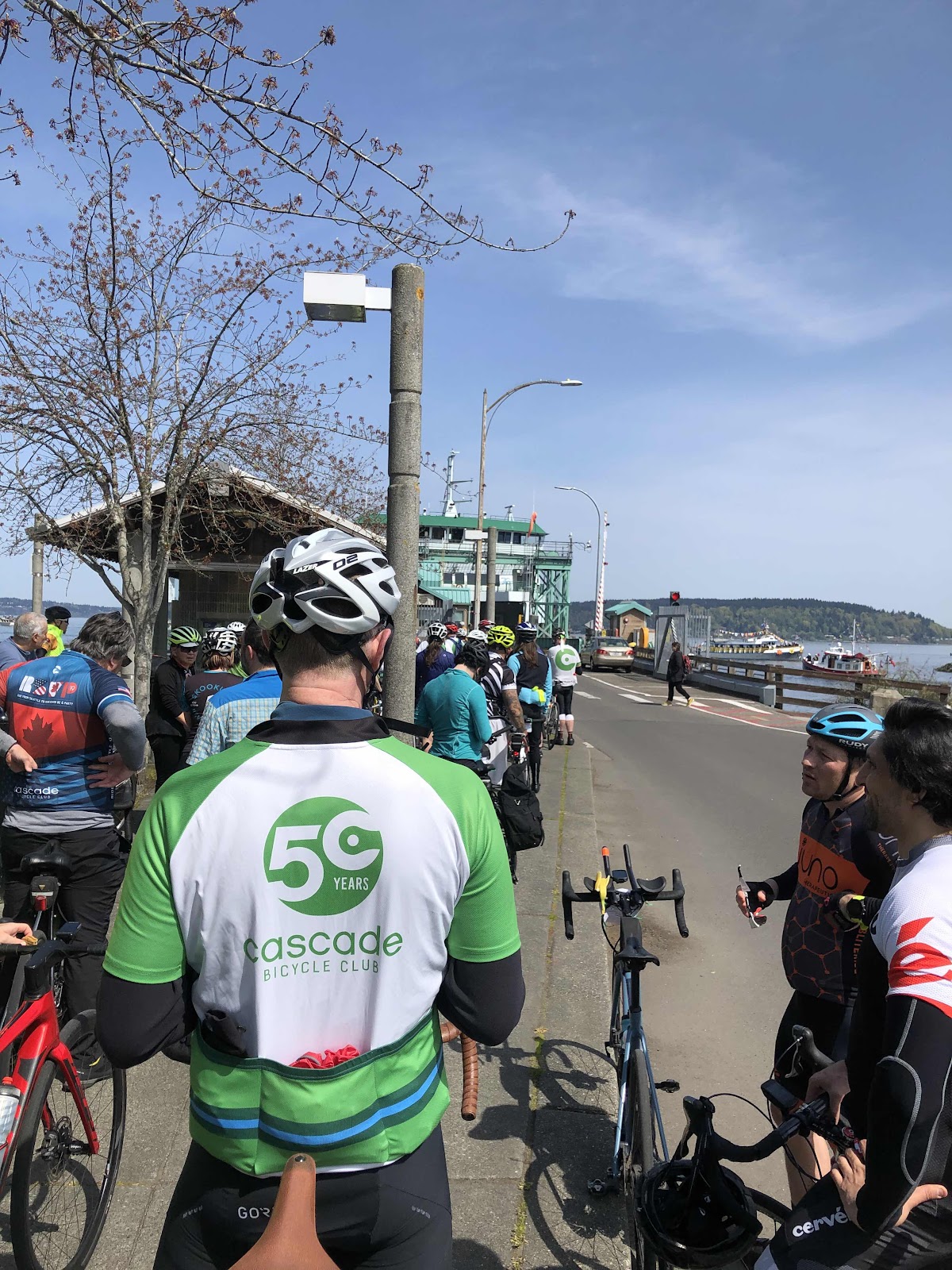
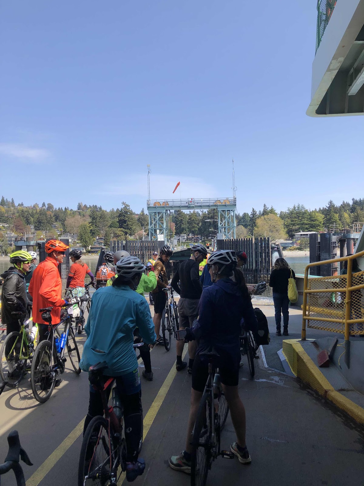
Getting ready to board the ferry.
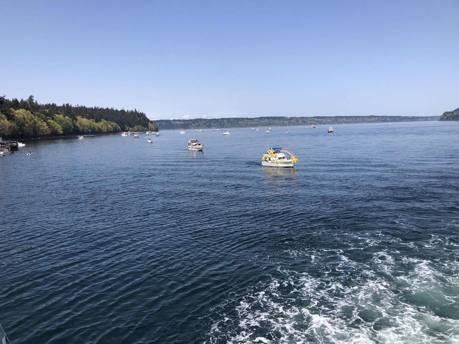
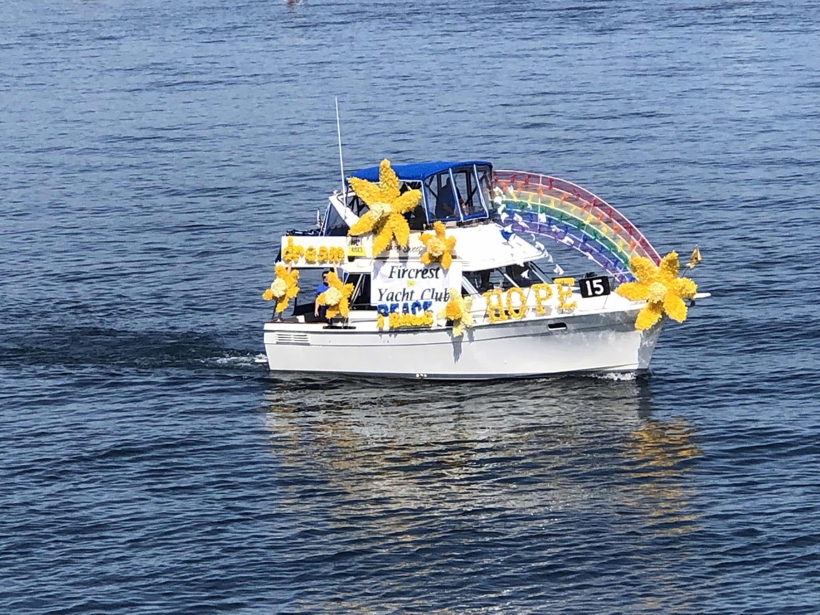
There were tons of pleasure boats, many decorated, out on the water. Turns out it was opening day of boating season for the yacht clubs in the area.
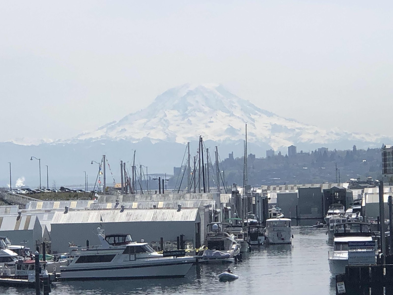
Oh, and of course, the mountain!
Some cyclists opted to stay down below.
Before long, it was time to return to the bikes.
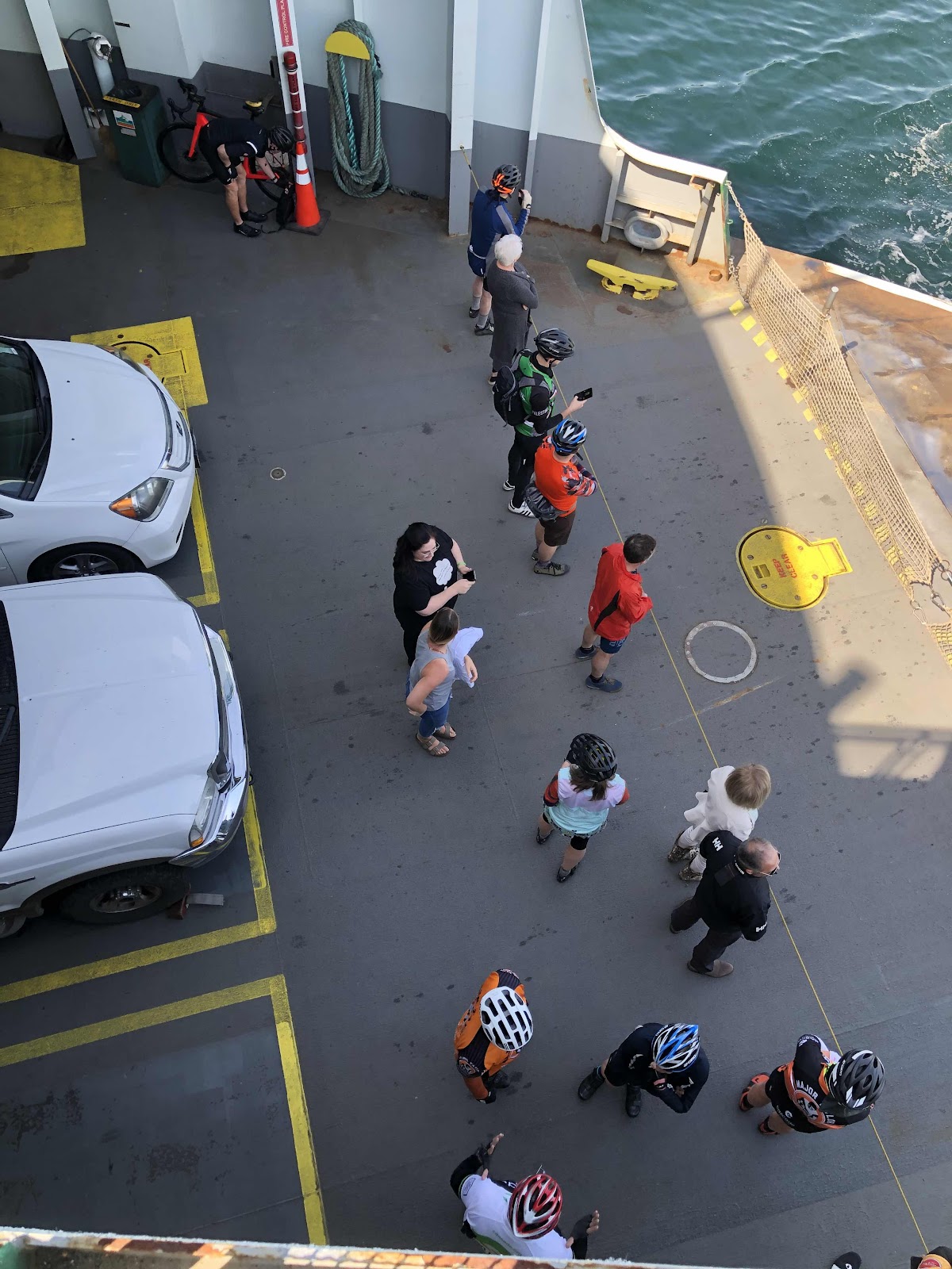
Getting ready to disembark.
Once off the ferry, we had the climb up Vashon Hwy. I said, “See ya later!” to Makaela as she shot up the hill. I did pass a number of riders going up the hill, but still mostly just chugging along.
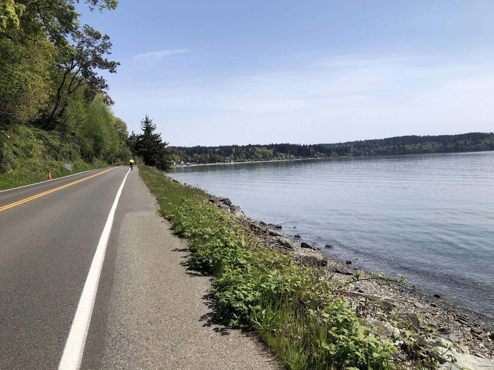
My favorite part of Vashon Hwy is the part along the water. Of course, it’s always nice when the weather is good.
About 3 miles from the Fauntleroy ferry, Makaela texted that she was at the cafe/store by the ferry terminal. Before long, I came screaming down the hill, and met her sitting in the sun, enjoying a San Pellegrino. I bought one AND a most delicious pastry.
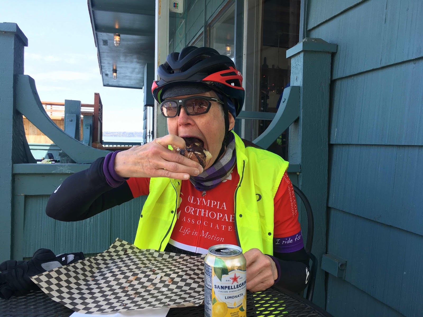
It was quite tasty!
We wrapped up our snack break, and headed to the ferry. This time they just put us right up the middle of the boat.
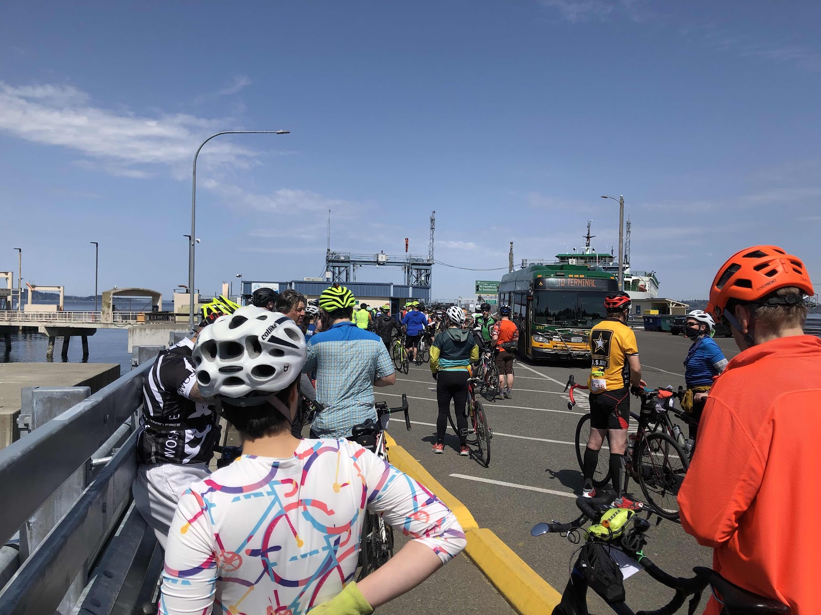
Waiting for the Fauntleroy ferry.
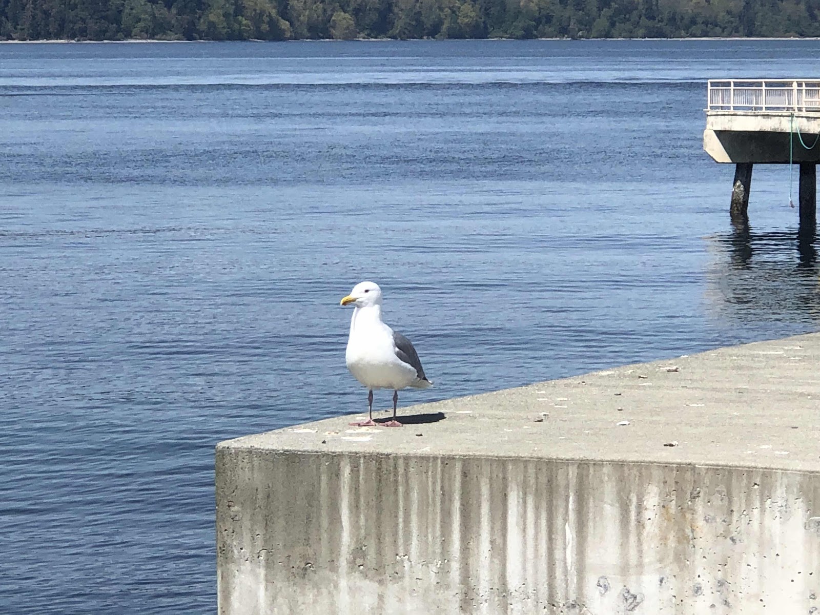
Well…hello!
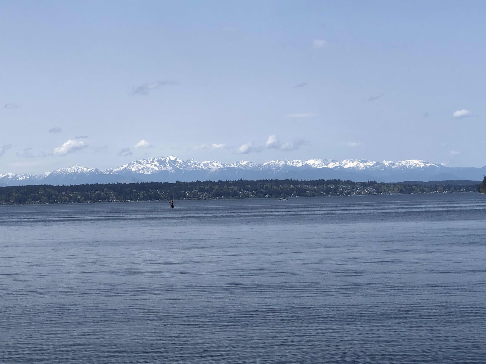
The Olympics in all there snowy glory!

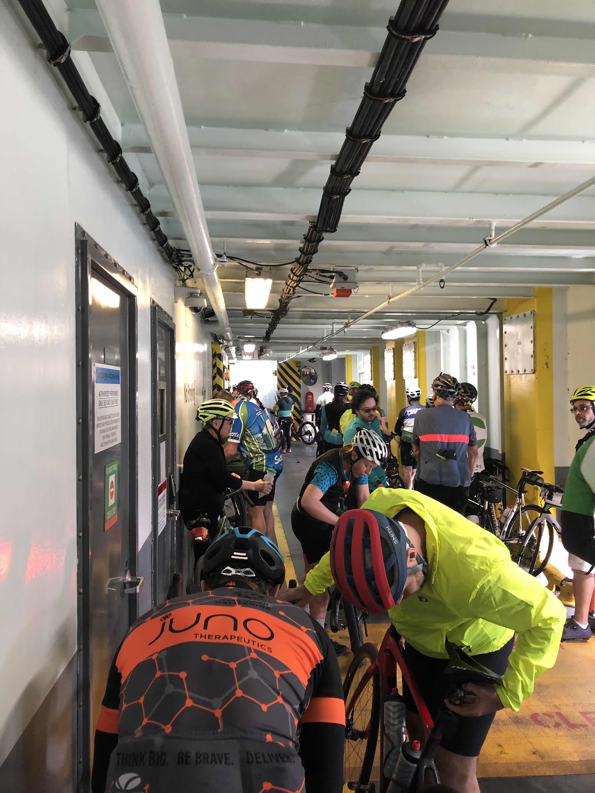
The bikes stacked.

Another ferry coming in (probably going to Southworth)
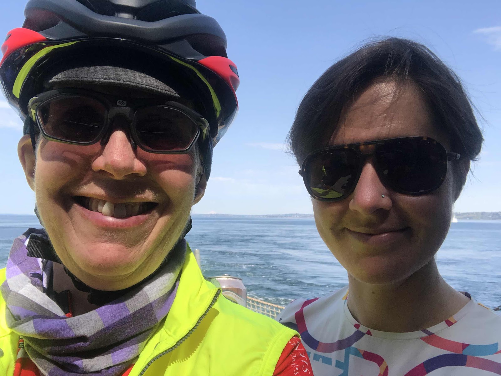
A Fauntleroy ferry selfie.
We had a nice ride to Fauntleroy.
Almost time to disembark!
We had one last longish climb, and a final few miles back to where we started. We picked up our souvenir backpacks, and had yet more food. Chatted for a bit with new friends, then headed back to the car.
This day is done!
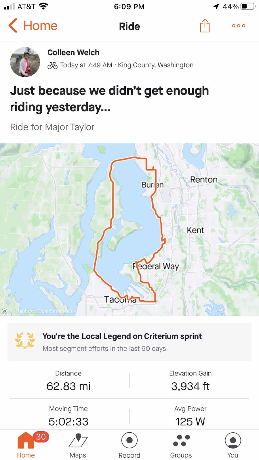
A nice loop!
We were both really pleased with how we did on this ride considering we had done the Super G yesterday. Our legs felt pretty good! It was another great weekend of riding with my adventure buddy, Makaela!