Sunday, July 31, 2022

Day 52-The Off Route Ride Was More Interesting Than the Actual Ride

We headed over to Royal Gorge Bridge at about 7:45 this morning. Little did we know we would end up climbing about 1300 feet in a round trip of 10 miles. Good thing we didn’t have our panniers! It was worth it though. 

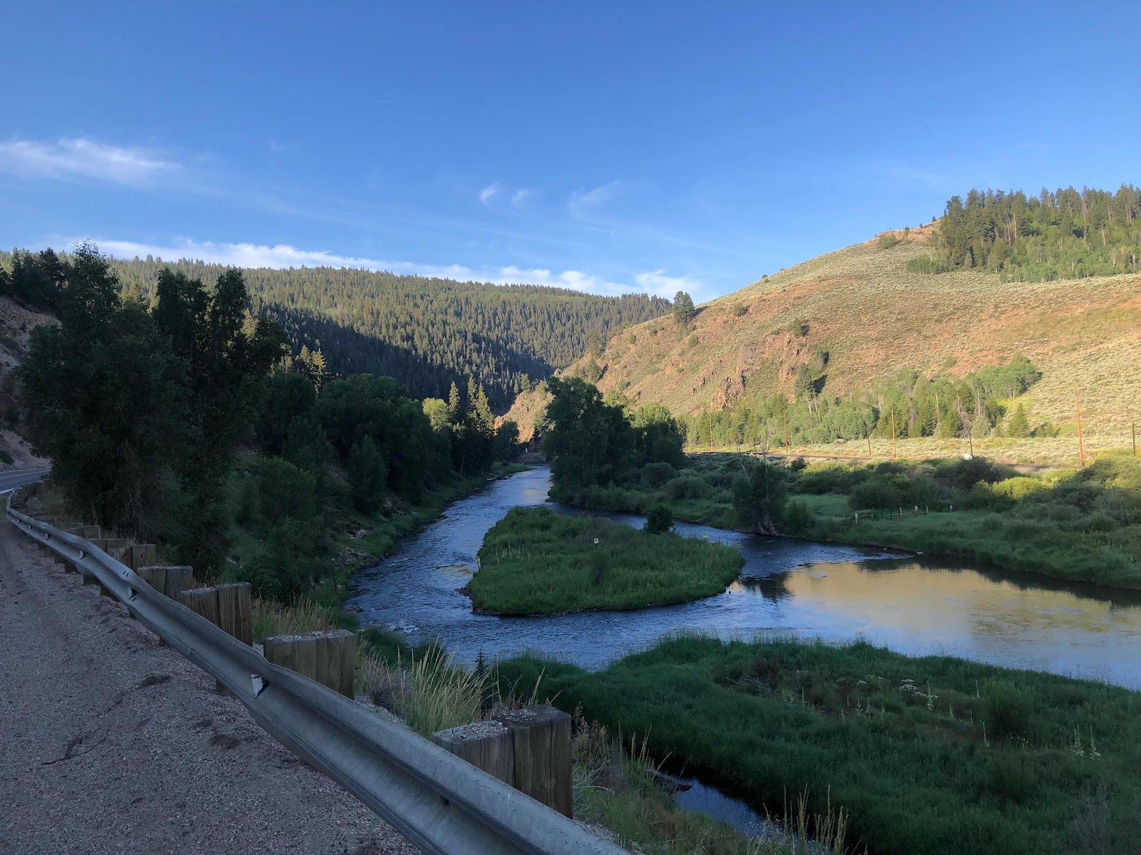
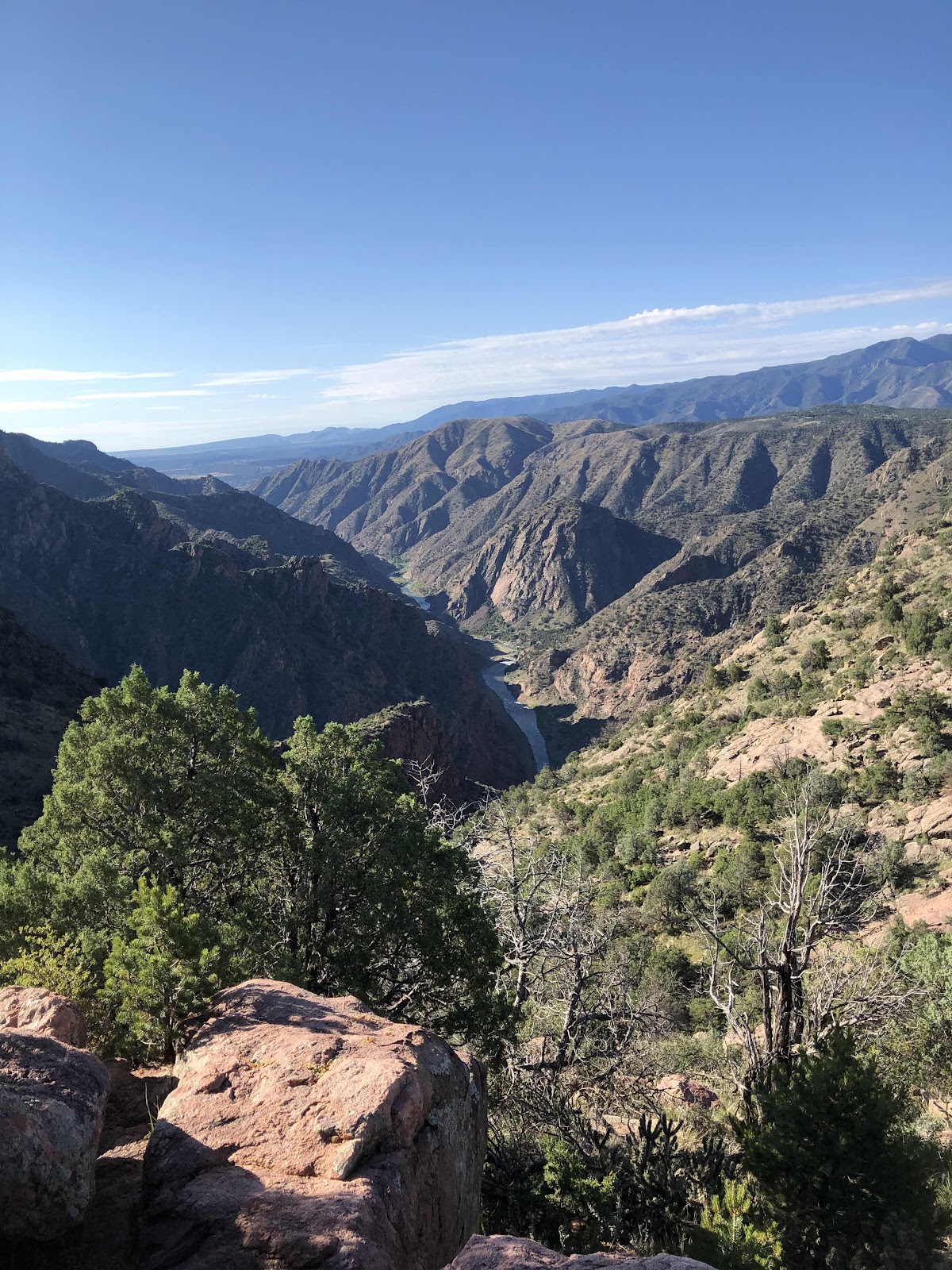
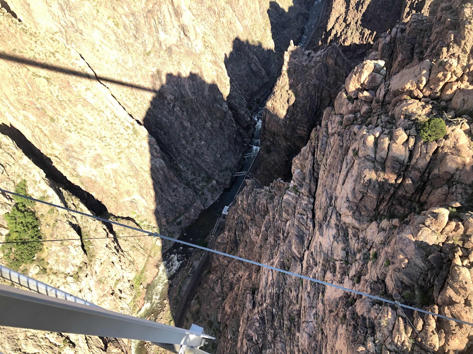
Way down there is the Arkansas River. 

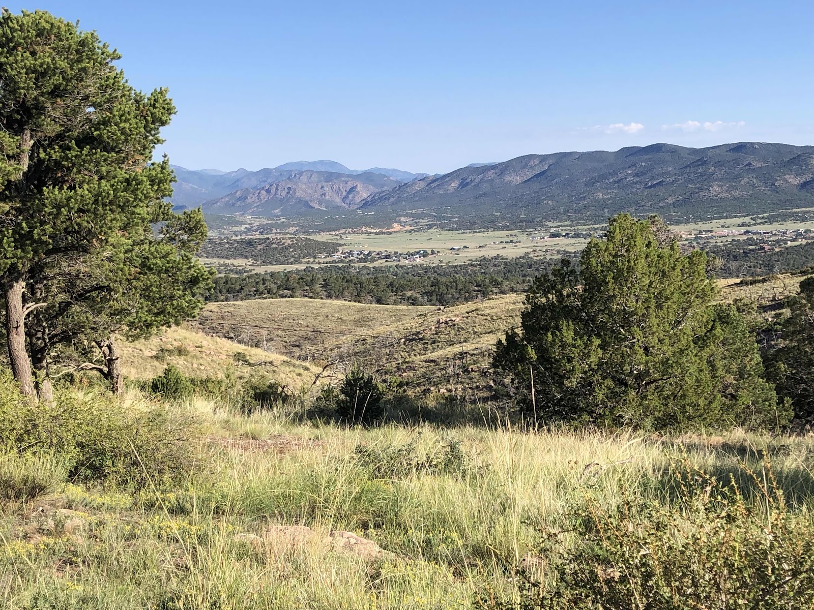
Way off is the KOA where our gear was waiting for us. 

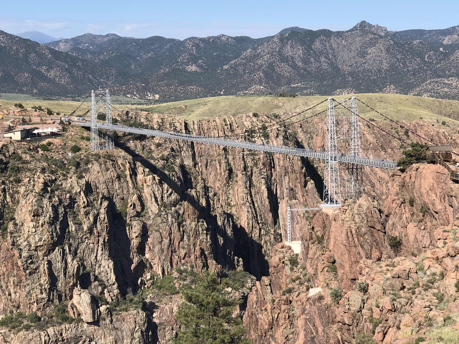
The Royal Gorge Bridge

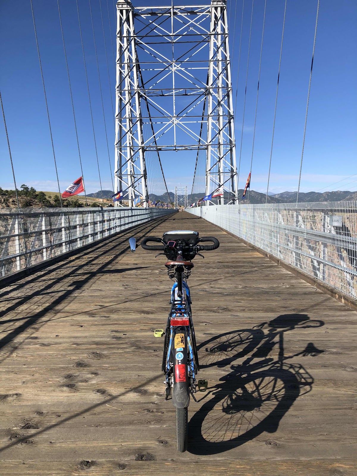
Tilmann ready to go across

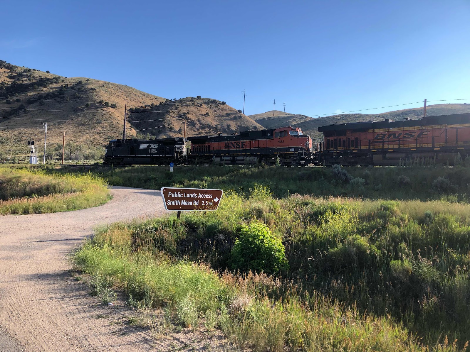
Down along the river are train tracks. Of course, for a few, you can ride the train through there. 


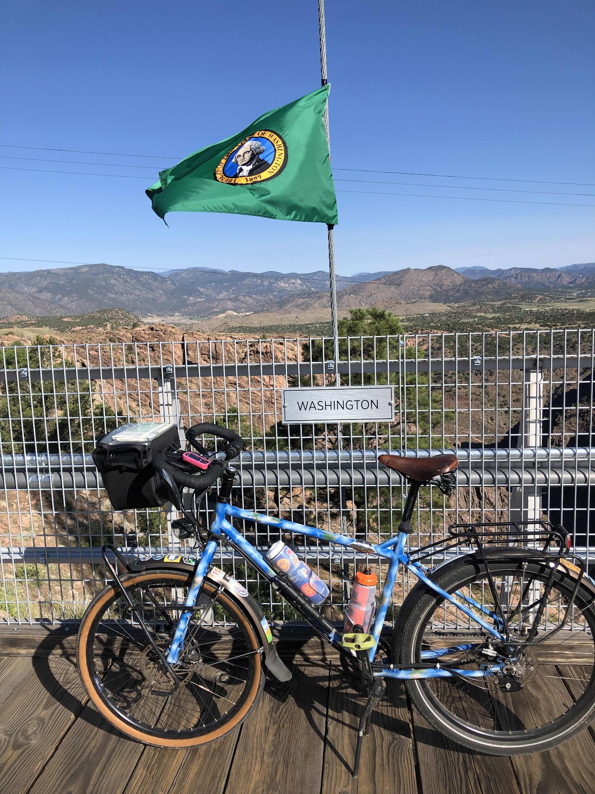
All the state flags were along the bridge. 

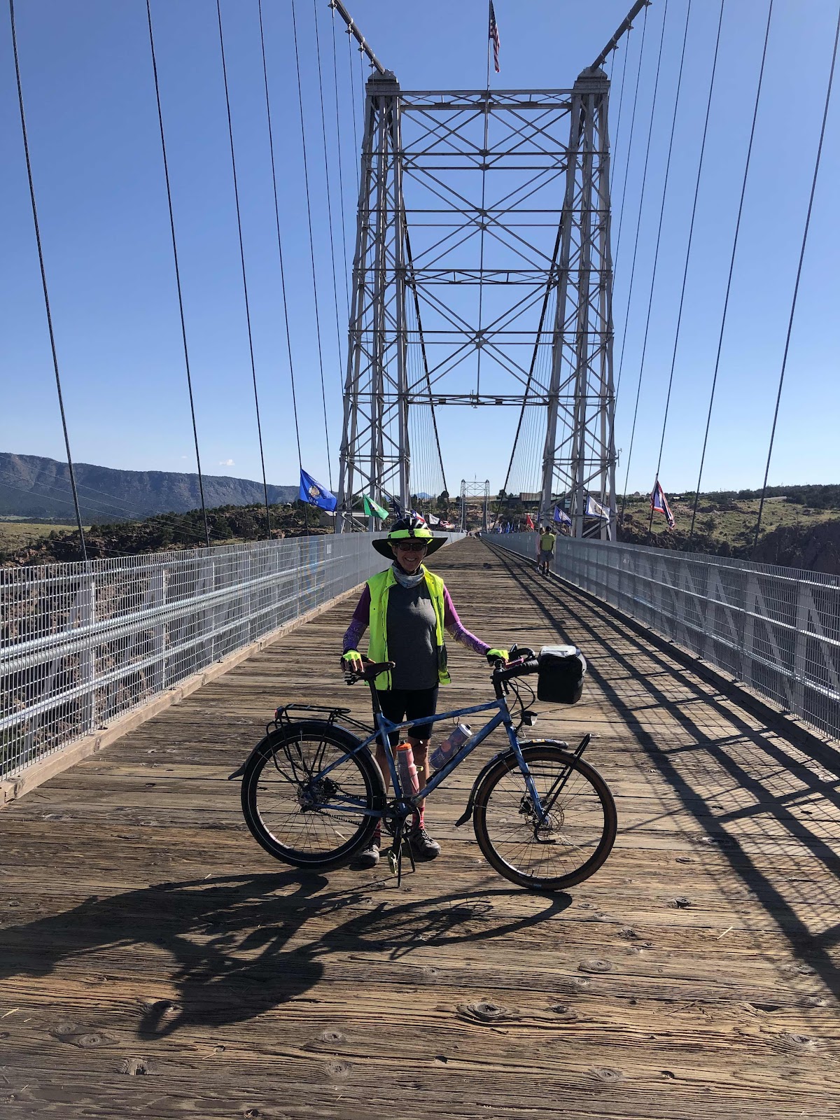
Made it to the other side. 

There are all kinds of adventurous things one could do…zipline across the gorge (that would be so cool), swing out over the gorge…and I’m sure others. It cost $23 just to go across the bridge!

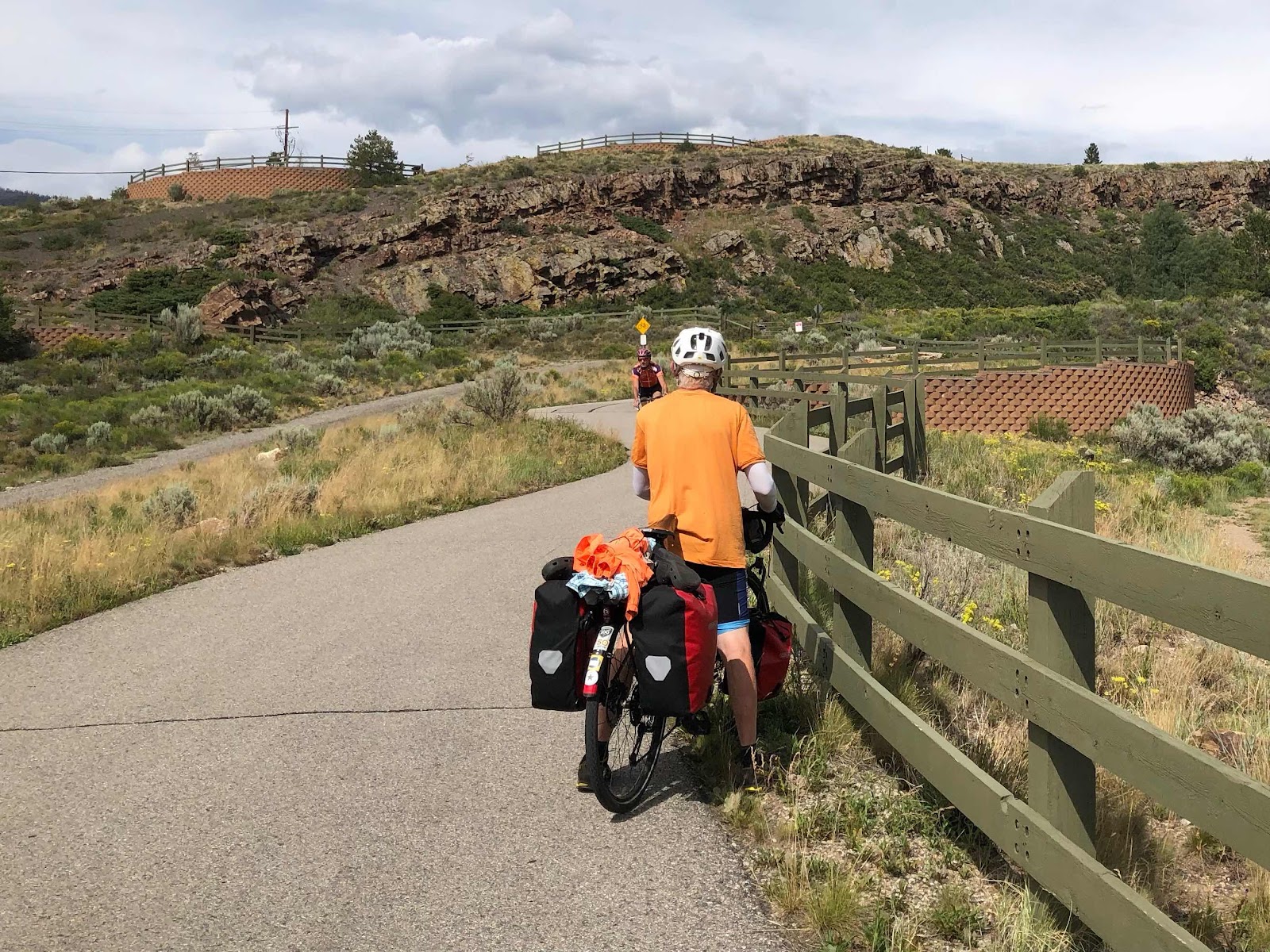
We rode back to the KOA, and packed up our stuff. We were rolling out at 10:30. It was heating up. We still had 50+ miles to do. At least there was an awesome descent into Cañon City. I hit my high speed of 38 going down into Cañon. 

It was a cool looking town, but since it was Sunday, much was closed. We rode on through. We got to the town of Florence (I think it might be our 3rd Florence) and decided to get some lunch. It took a long time to get our food. It was okay, but not great. I did camel-up on water. We had talked to a guy out on the street who asked us the usual questions. He was a cyclist. He was telling us we shouldn’t do the Hwy we were supposed to do. I know people mean well, but that kind of advice isn’t really something we are going to do. The road was fine, and had even recently been repaved. 

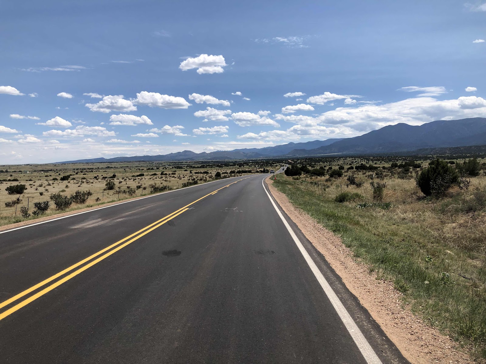
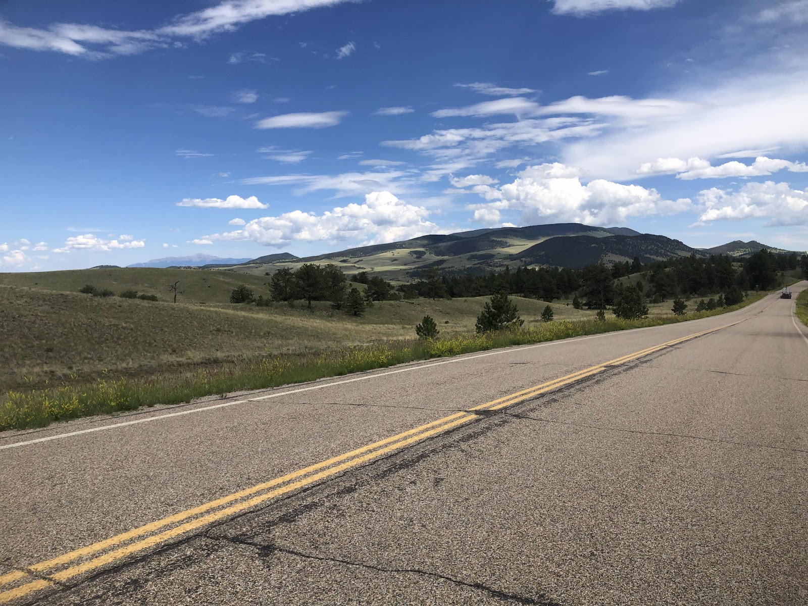
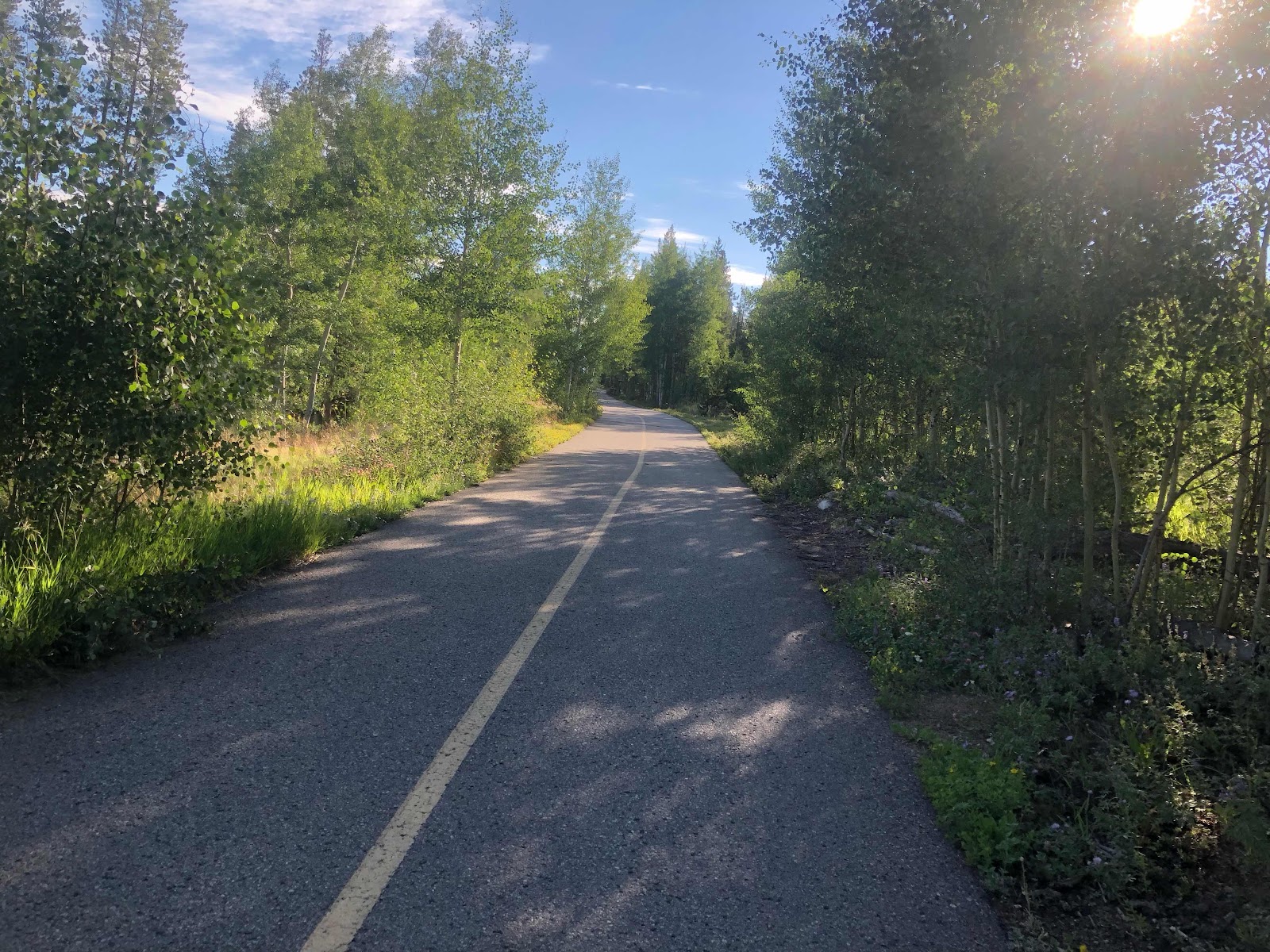
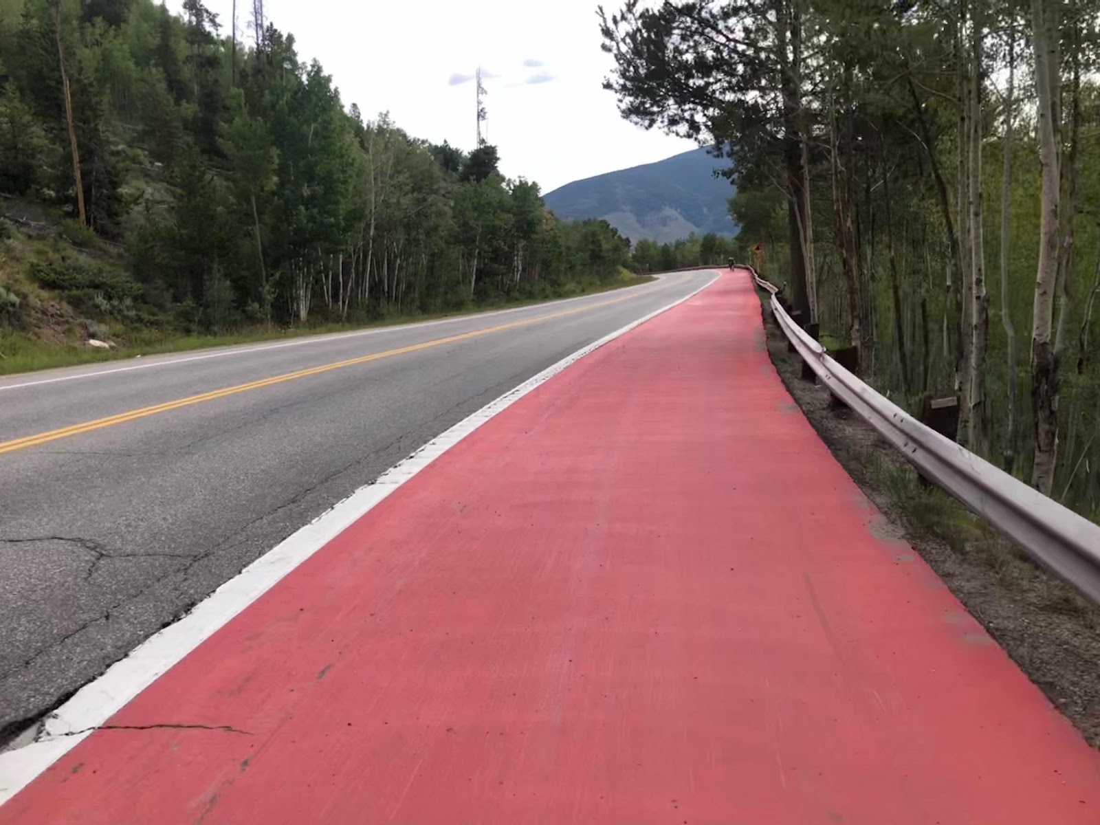
Yeah, not much shoulder, but long sight lines. 

We came to Wetmore. There’s really nothing in Wetmore. We needed water though. There was a creek. Doug had filled his 3 liter bag when I saw a person. I went to ask if there was any water. He took us around the front of his house to the hose bib. His name was Tim, and he was the pastor of the church next door. Nice guy. I drank a ton, and refilled my bottles. In the shade, it was 92 degrees. We weren’t in the shade much. 

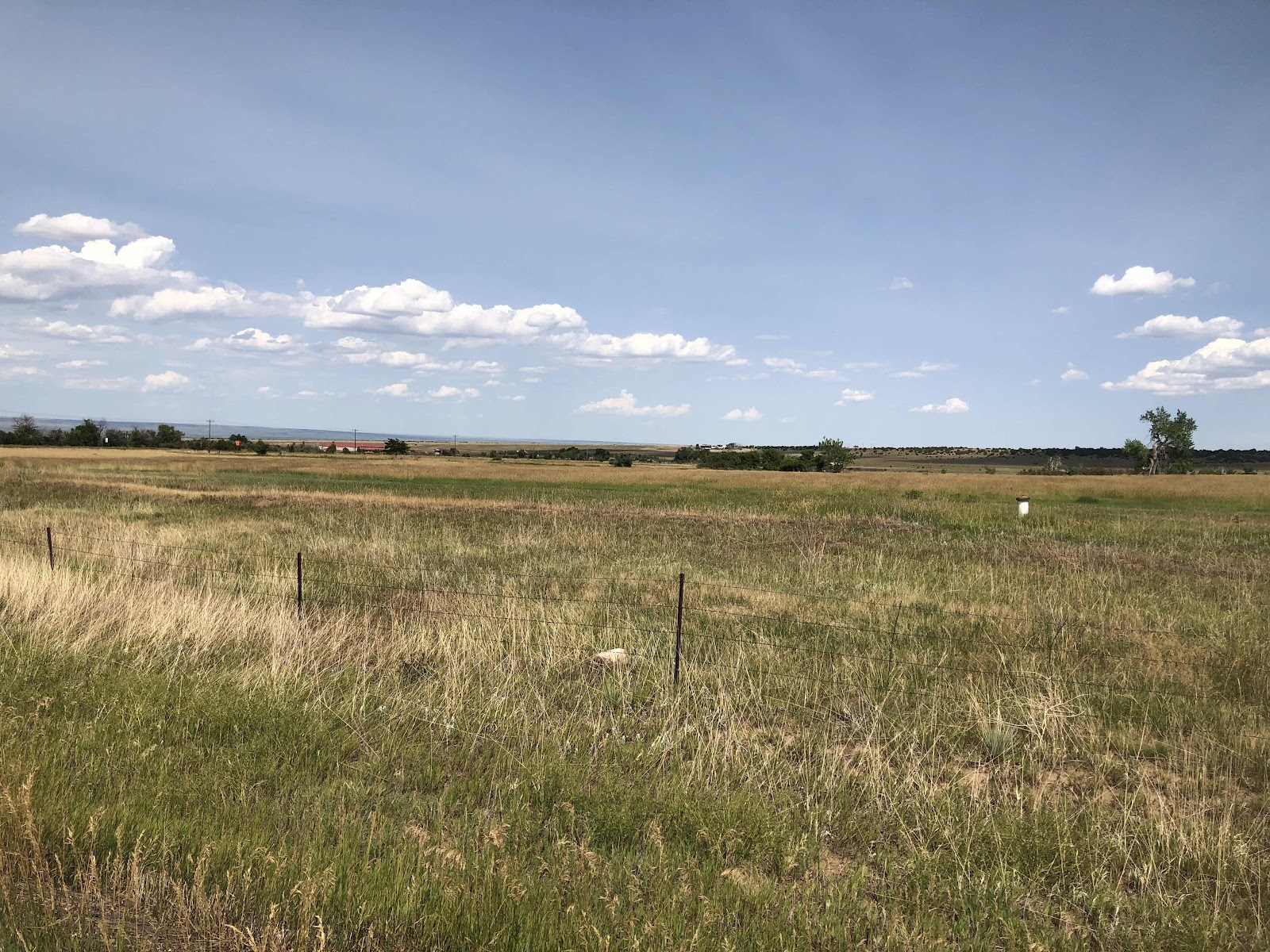
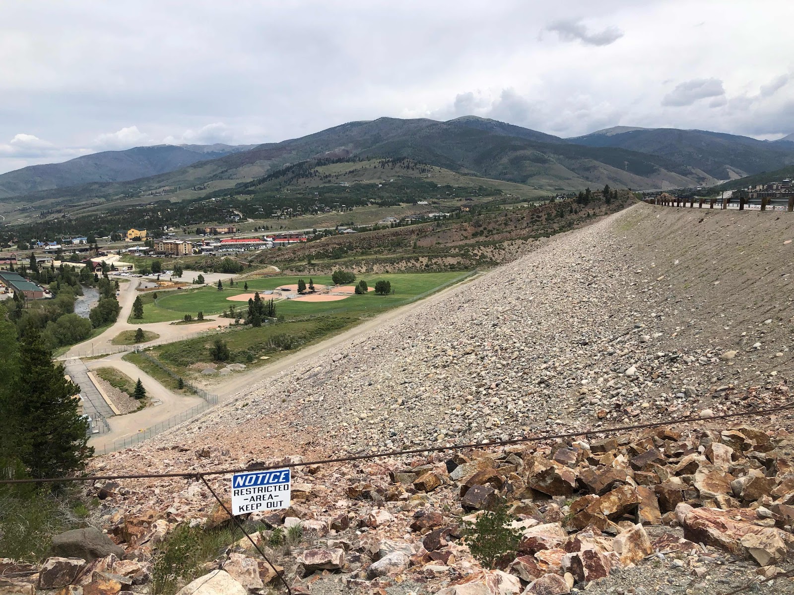
A lot of sunny nothingness. 

It was supposed to be mostly downhill from Wetmore, but we sure seemed to do a lot of uphill. Plus, the wind was not so favorable. We did get to go down one 9% grade. 

It was awesome, but far too short lived. 

There were a few interesting rock formations. 

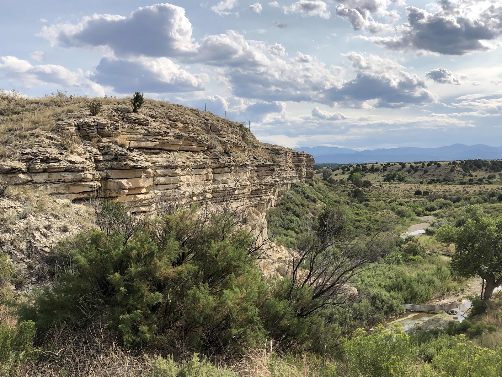
I even stopped to take this one. 

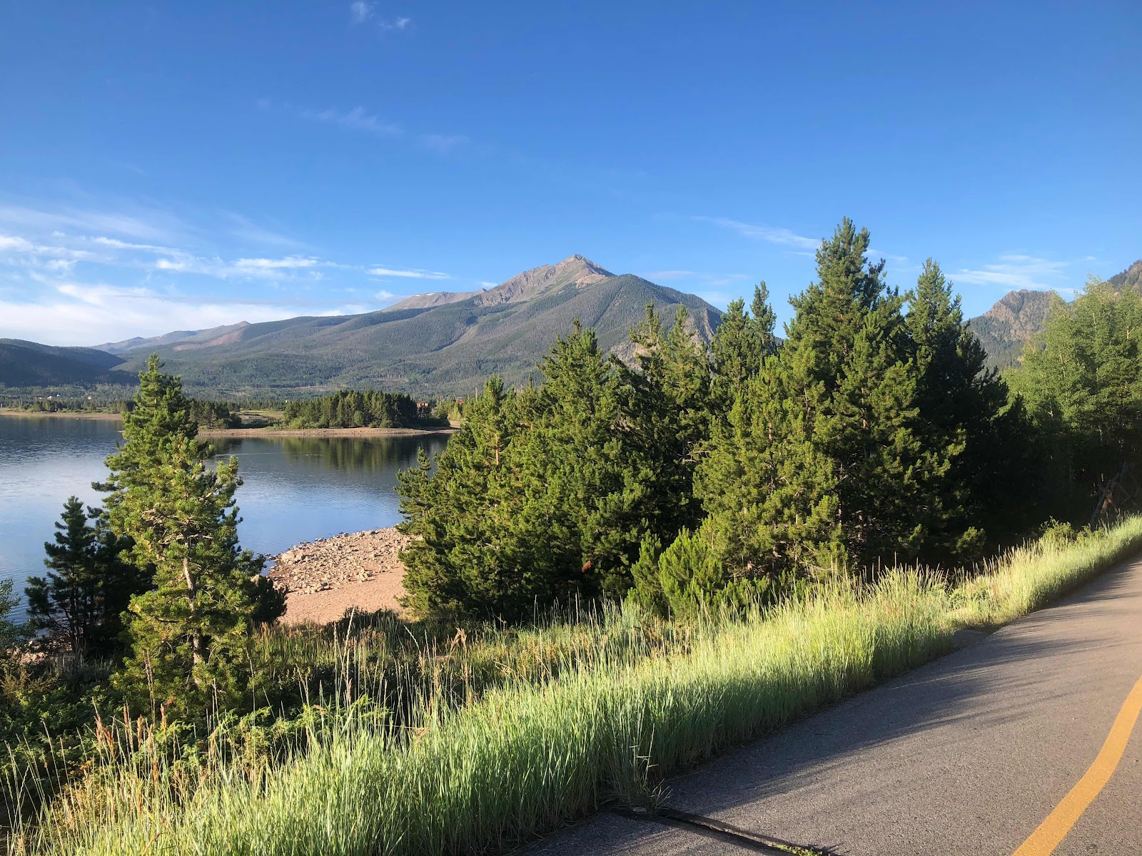
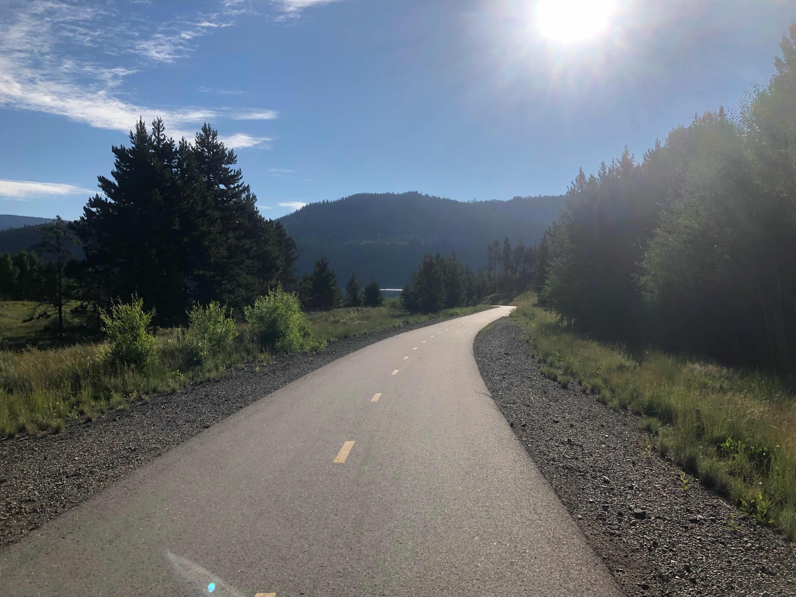
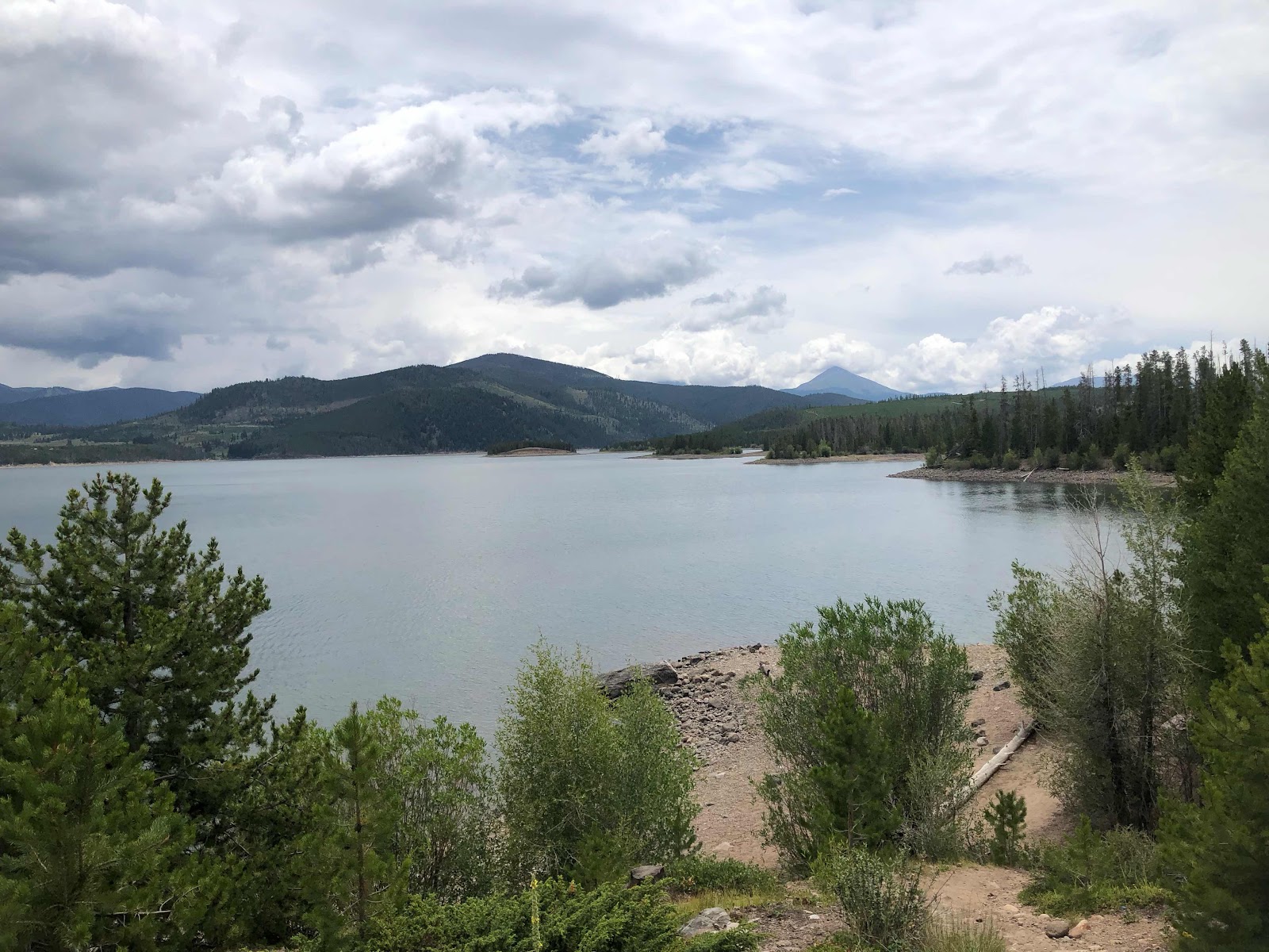
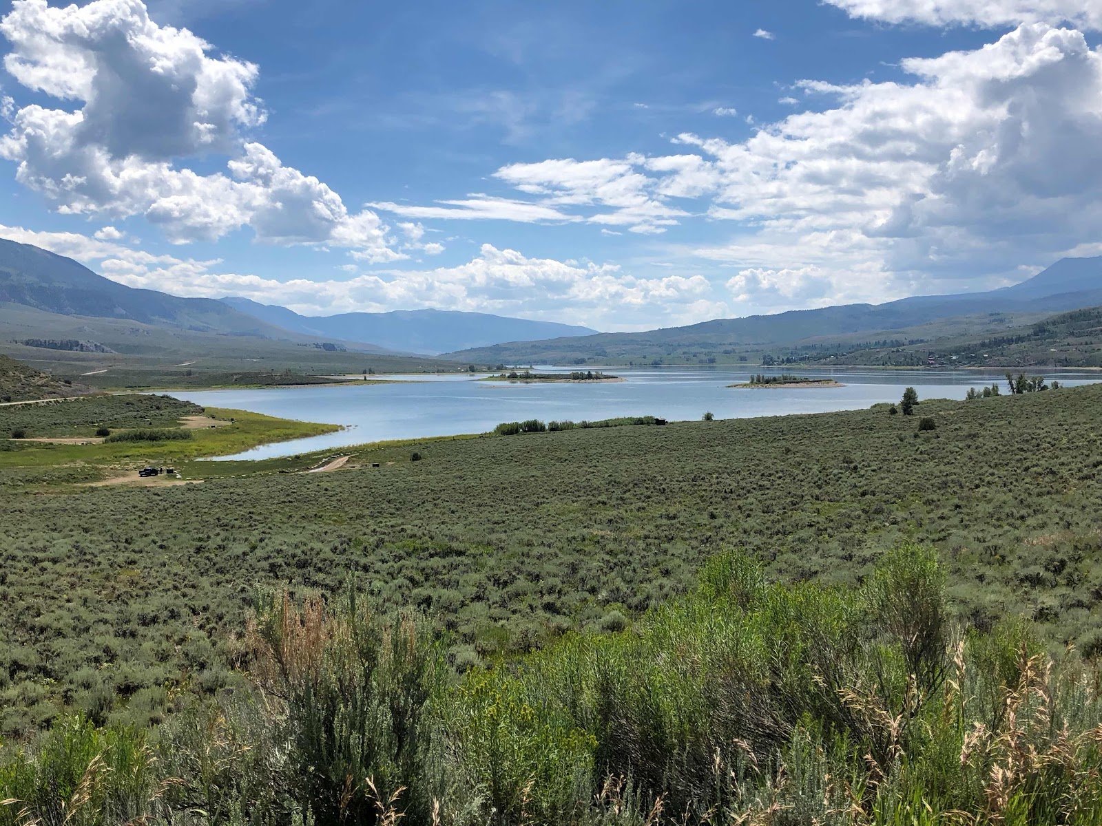
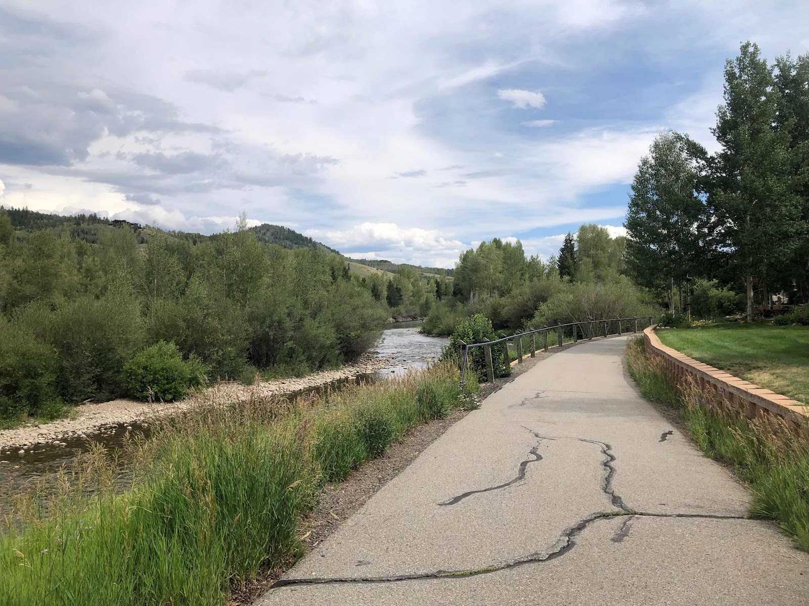
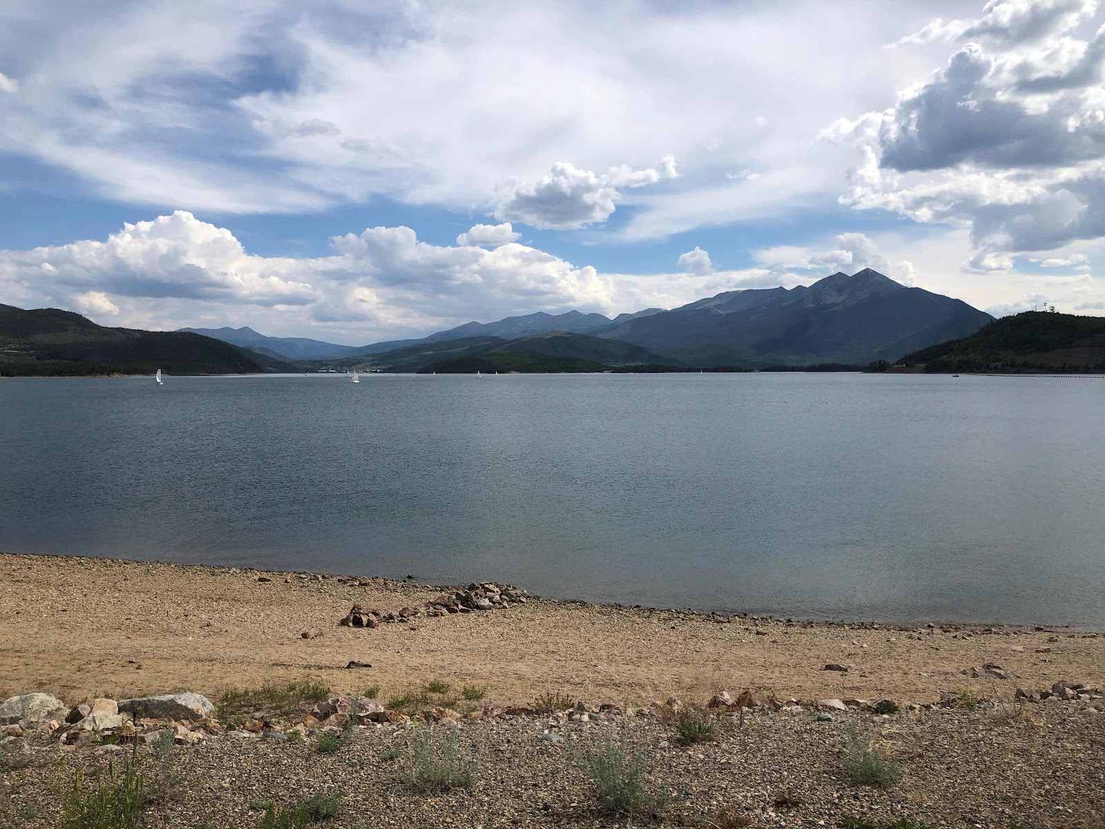
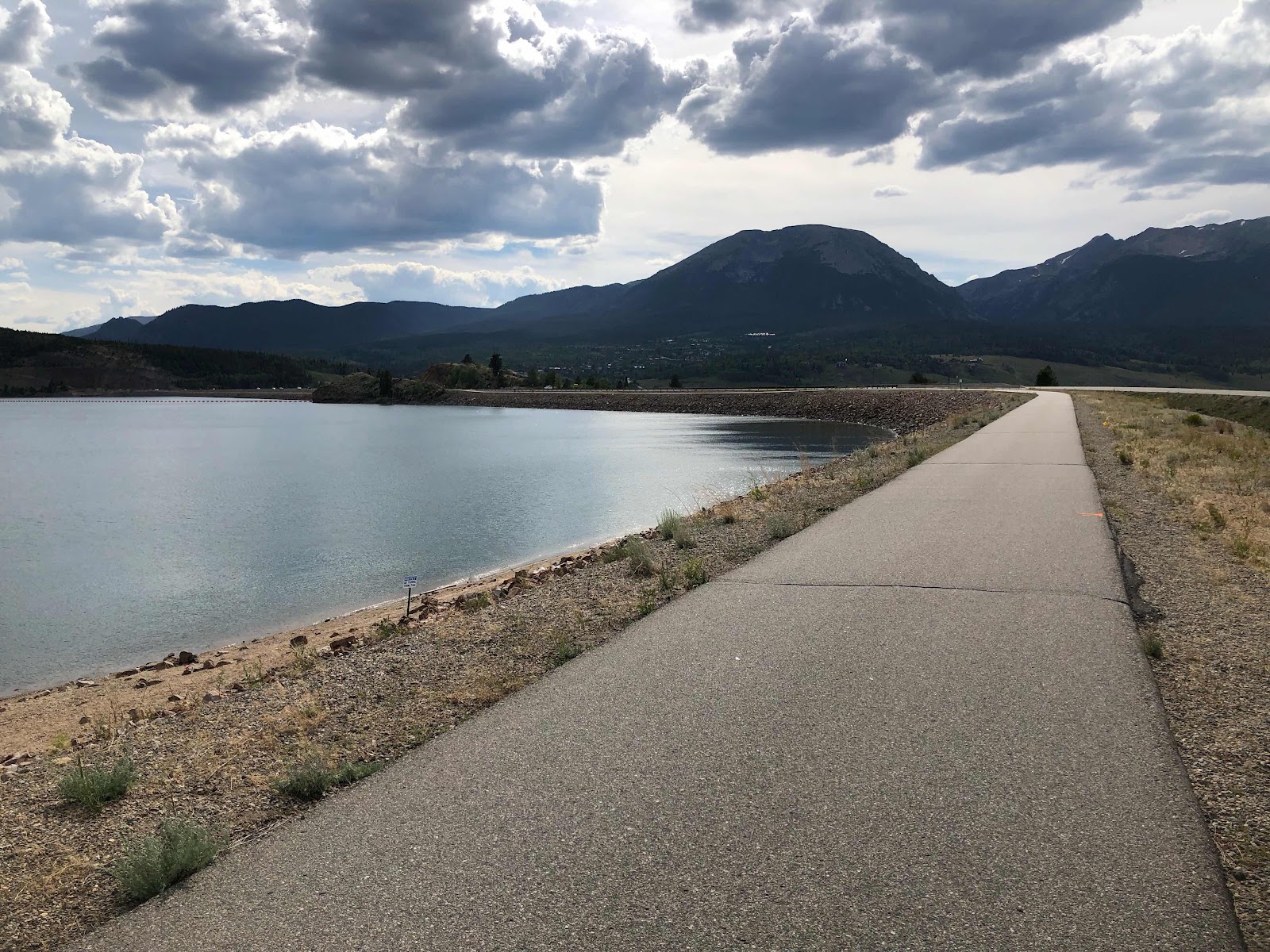
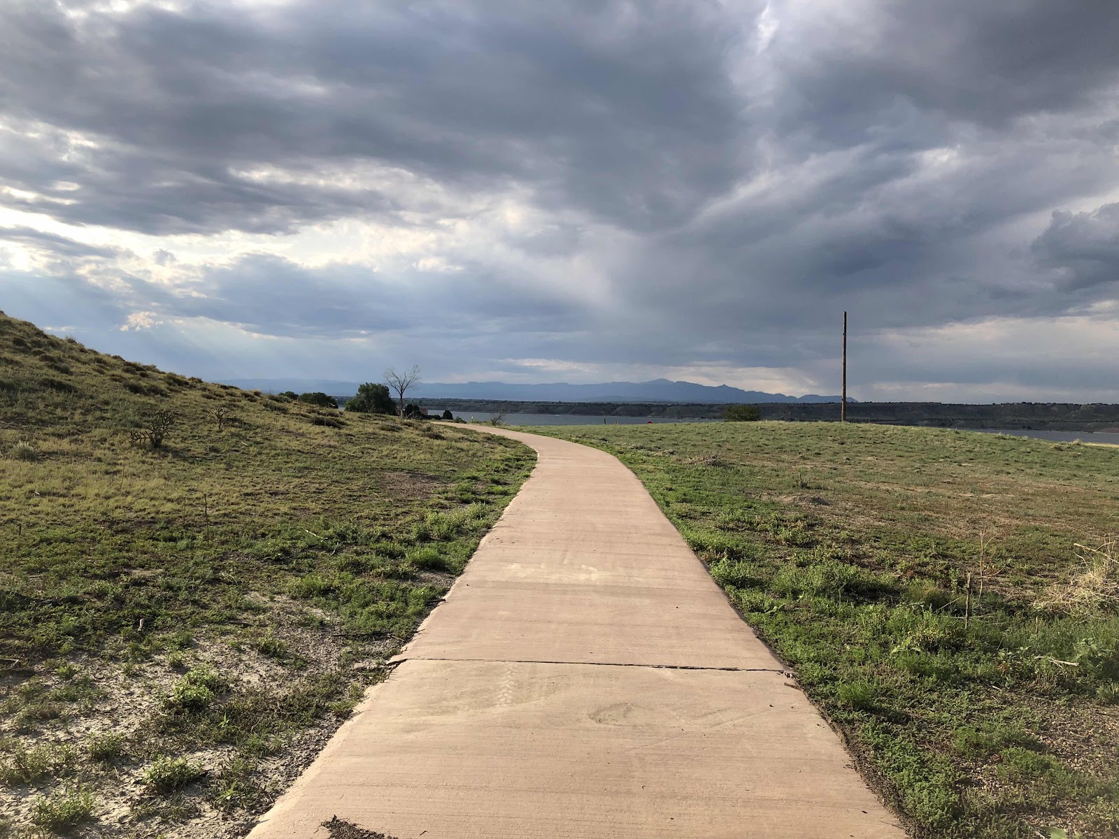
Finally we were getting close to Pueblo State Park on Lake Pueblo. I had this vision in my head of what the park would be like…woodsy, on the lake…yeah, not exactly. We pulled into Arkansas Point Campground after riding in on this nice bike path. 


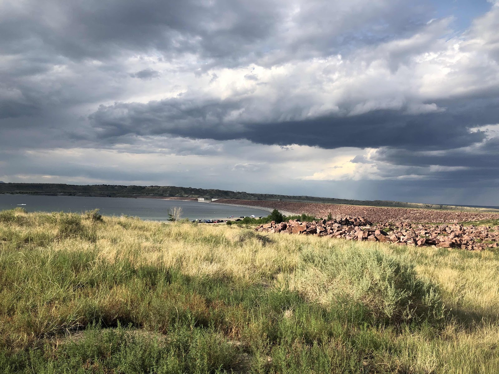
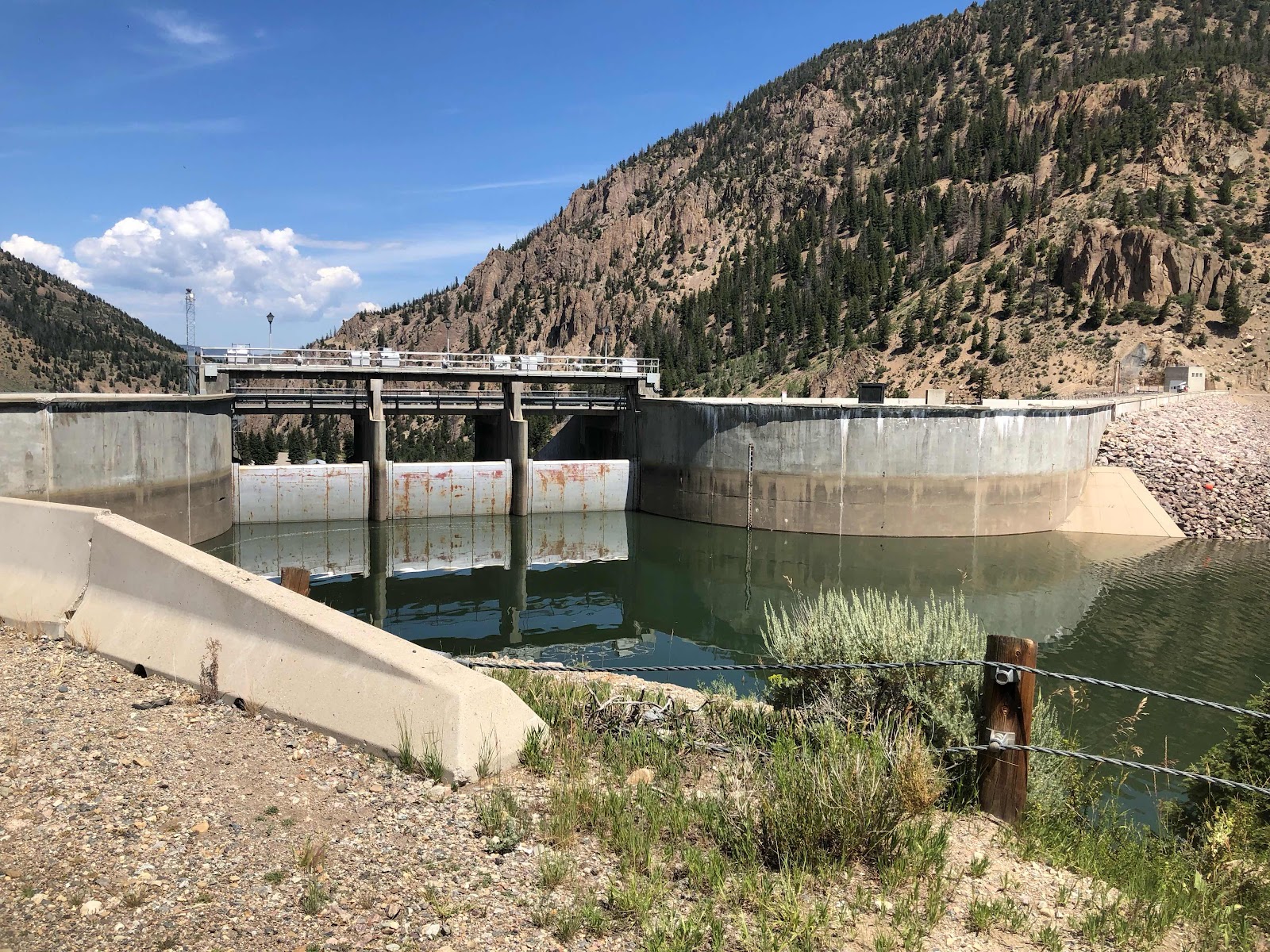
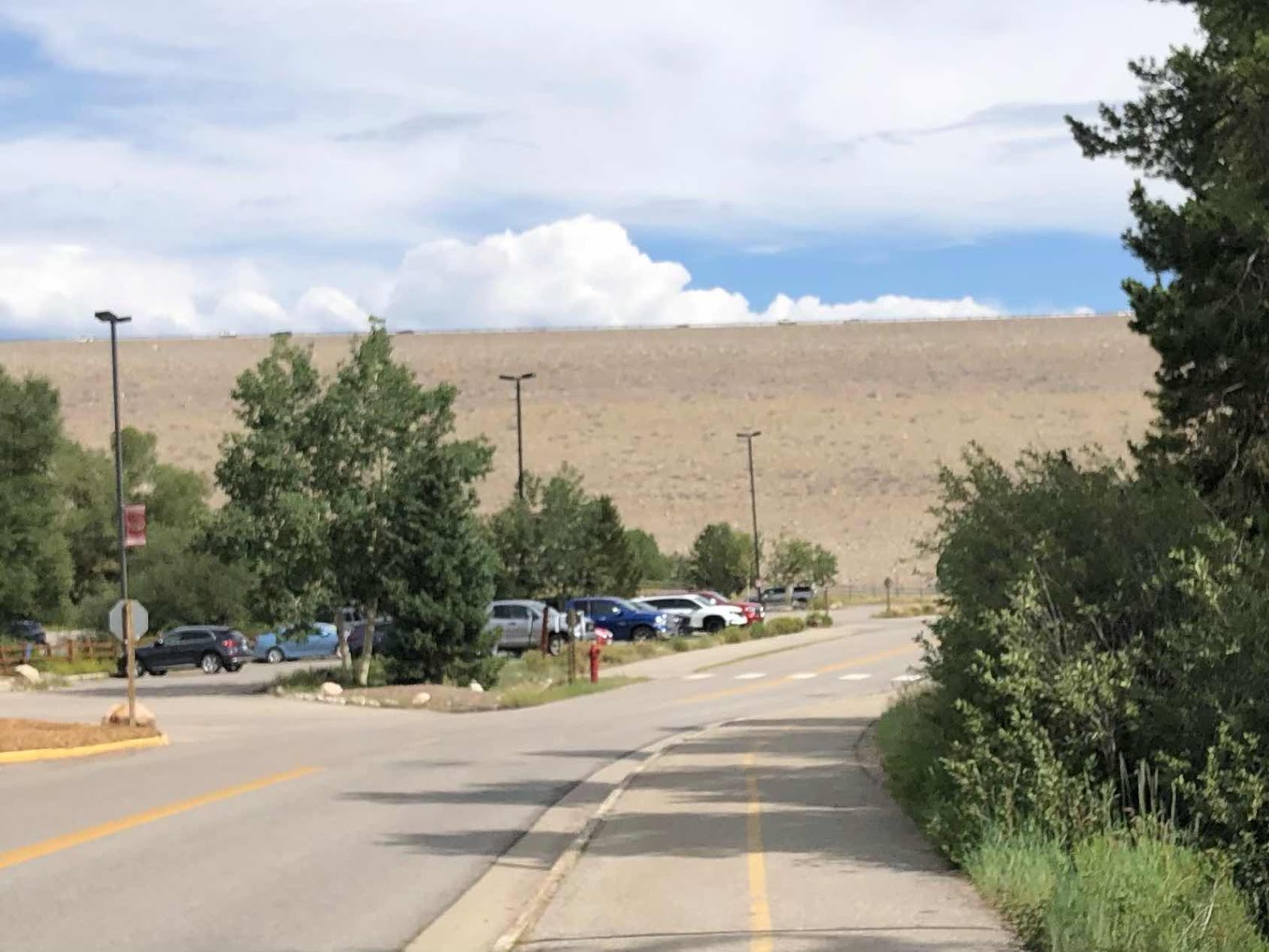
The lake is really a reservoir. 

Turns out the campground is 100% reservation only, but there was a number to call to make a reservation. It took forever because they want to know every single detail, including my driver’s license number! If I were to stay in another Colorado State Park, I would be in the system now, so maybe not such a process. I randomly chose a site that was available. We rolled over to it. It’s close to water and the restroom/shower. Hey, showers are free in Colorado State Parks!

A view of the lake anyway. 

I realize I miss the woods. That’s too bad because I don’t think there will be any woods to camp in until maybe Kentucky. 

It was a long day today, but that’s only because we did the Royal Gorge first. Tomorrow we will get going in the cooler morning. Don’t know where we are planning to land tomorrow, just that we need to get food in Pueblo. Also, we will be finishing Map 6, and started Map 7. Kansas is in the near future…
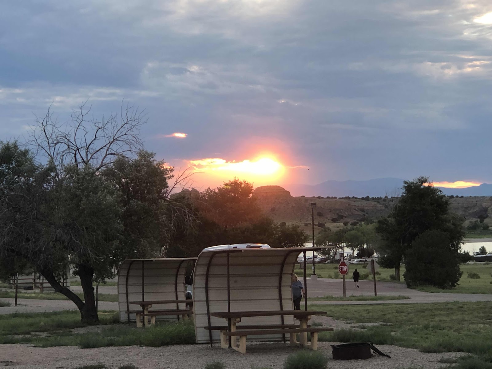
Goodnight!


Saturday, July 30, 2022

Day 51- Where We Go Higher Than We’ve Ever Been, and Farther Than We’ve Ever Gone

Yep, we finally conquered Hoosier Pass, all 11,500+ft of it! I have to say, that kind of elevation is no joke! Both Doug and I were already feeling the effects of the elevation since we got above 9000 feet. Hard to catch your breath, more effort to do anything. And for me, lots of annoying coughing. 

It worked out well, having stayed at the Bivvi Hostel. We had 9.5 miles to the top of Hoosier Pass. We were ready for breakfast this morning at 6:45, but the hostel doesn’t serve breakfast until 7:30. Not wanting to wait around, we just grabbed some oatmeal packets (and some granola and a packet of instant breakfast out of the hiker box). We were on the road at 7:15. 

We’re comin’ for ya, Hoosier!

Because any kind of exertion set off a coughing fit, I just spun the pedals in an easy enough gear to keep a steady cadence. I tried to not start breathing hard. It worked pretty well. I only had a couple of coughing fits. One was after this switchback. 

That was a steep one!

I was counting down the miles by half mile increments. I would stop and take a break now and then. Sometimes to take a photo. 

They don’t call them the Rockies for nothin’. 


Finally, we reached the top of the Pass. It was chilly, so we didn’t spend a lot of time, but we took the necessary photos. 

Hoosier Pass is the highest point on the Trans Am. Tilmann may never be this high again!

Our 8th (and final) Continental Divide crossing. 

I was excited to get to a lower elevation, so I took off. Doug was right behind me (relatively speaking as he doesn’t go downhill as fast as I do).

Let the downhill begin!

I rolled into Alma (known for being the highest incorporated town in Colorado). I pulled off at a couple of food trucks. By the time I used the restroom, Doug had pulled in too. I ordered some sweet potato fries with cinnamon and sugar. They were delicious. Doug had a BLT. He said it was the best one he’s had on the trip so far. 

It was a pretty popular place. 

After we ate, we hopped on a bike path that went from Alma to Fairplay. It was pretty bumpy, but much better than being on the busy, shoulderless road. 

When we rolled into Fairplay, it was crazy busy. I think it was a Saturday Market or something. There were cars and people everywhere! It was very slow rolling through town. We didn’t bother to stop. 

Once we made the turn out of Fairplay, we were now on the signed US Bike Route 76. Really, we’ve been on it the whole time, but this was the first signage we’ve seen. 

Unfortunately, the main highway was closed, so all the traffic was detoured onto the road we were taking. So much traffic!!! And, no shoulder. It was rather tense until the detour left our route. At least it was mostly downhill or flat. 

A couple of miles after the detour traffic turned, we pulled into Hartsel. We stopped at the convenience store and got snacks and drinks. We could have camped in Hartsel, but it was not even 1:00, and we had only gone 40 miles. We pushed on. 

We had descended to about 8900 feet. We had to go back up to 9400 to go over Current Creek Pass. It wasn’t too bad, but the wind was often not in our favor. The terrain had changed significantly. 

Much more open. 

And we saw this bison (just as I took the photo, he dropped down for a dust bath).

See the road in the distance? That was the top of Current Creek Pass. First we had to go down (so we could then regain the lost elevation). When we have to do stuff like that, I only look at the miles to the top, not the elevation. 

We thought it would be mostly downhill from the top. It was, but there were still some less enjoyable uphills. Because the elevation profile on the map showed a rather large amount of downhill, we decided to push on to the camping after turning on to Hwy 50. We could have stayed in Guffey, a ghost town of sorts turned into lodging/camping. There were also storm clouds brewing over Guffey, but blue sky in the direction we were going. 

After a few more ups, and some significant down (we ended up at about 6000ft), we made it to Hwy 50. The first RV Park was a bust. They didn’t allow tents. We rode another 2 miles to the Royal Gorge/Cañon City KOA. This is one of the more funky KOAs. The “roads” are terrible. We ended up having to walk our bikes. We finally found our unsigned site, and stopped our Garmins at 88.6 miles for the day. That is, by far, our longest distance day. It was over 8 hours of ride time. We arrived at 6:20. 

We were in dire need of doing laundry, so we got set up, and walked back down to the showers and laundry. Our laundry was finally done at 9:30. Still, it’s good to have clean clothes and clean bodies at the same time!

Now I really must go to sleep! 


Friday, July 29, 2022

Day 50-You May Think the Horseshoe Isn’t Working

We had great plans of going over Hoosier Pass today. We got on the road at 7:00…or I should say, bike path. We continued on the path toward Frisco. 

Still riding along the Dillon Reservoir. 

We rode into Frisco, following the route. As we climbed up a steep little rise, there was a “ping” from Doug’s bike. He said, “What was that?” I could see he had broken a rear spoke. I looked up bike shops in Breckinridge (shop in Frisco wasn’t open yet). There were several, and all would be open by the time we rode the 8.8 more miles there. He wrapped and taped the broken spoke to the spoke next to it, and we continued on. 

Now between towns. 

Such a nice path. 

It was definitely uphill all the way to Breckinridge. We finished the trail, and rode onto Main Street. Unfortunately, we came out further along Main, and had to turn around to get to the bike shop. The guy at the shop couldn’t help Doug because he was already about 5 days out on repairs. Next we went to Avalanche Sports. The gal there said there were 12 bikes ahead of us. We continued on to Carver Bike shop. Their wheel builder said he could get to it today, but might not have it done until 6:00. That was better news than we’d heard so far. We left his bike there. 

In our back and forths on Main St, we had passed a donut place. We walked back there with Tilmann. 

Of course I had donuts, but I also had biscuits and gravy with hash browns…a proper 2nd breakfast. 

We knew we wouldn’t have time to get up the Pass (plus a storm is supposed to roll in), so I started looking for where we could stay. There was a Warmshowers host nearby, so I sent a message. Then I found a hostel on the route just outside of town. It was only $55/person for a shared bunk room. I rode to check it out. It was quite the climb (of course everything is going up). I booked us in. Then I texted Doug to tell him. I told him I didn’t think I wanted to ride all the way down, then have to ride all the way back up. 

So, while it might have been unlucky to break a spoke, the fact that it happened where it did, instead of…say, half way up Hoosier Pass, made it more lucky. The clouds are rolling in now. Tomorrow, we will have less than 11 miles to the top of the Pass. So…I’m going with the lucky horseshoe working again!


Thursday, July 28, 2022

Day 49-A Day Without Forward Progress in Dillon, CO

For our third day off of this tour, we went back along the bike path, and off route a tiny bit to Dillon, CO. I first made a stop at the post office to mail some Yellowstone t-shirts I had bought for my grandkids…been carrying those for awhile.

Then I met Doug over at the REI. I wanted to get a second pair of shorts for Kansas. The heat might necesitate going back to wearing my bike shorts with no unders. I found some Terry shorts that have a longer leg. I’ll be able to wear them without the over shorts. Now watch…because I got those shorts, it’s going to be ultra cool in Kansas!!! Which, of course, would be okay! I also got another pair of cycling gloves. Mine were pretty skanky, even though I washed them every time we’ve done laundry. Doug went back to do the same. While he was in REI, I added sealant to Tilmann’s front tire. I had brought it with me in case I needed to borrow a floor pump from REI. My frame pump worked fine. 

Conveniently, the grocery store, City Market, was right next to REI. It’s too bad we have a huge climb tomorrow, there was a good selection of food. We only got the minimum to get us over Hoosier Pass. 

By the time we finished getting what we needed, it was lunch time. The thing about this area is that everything is on a hill. That limited our lunch options severely (after all, this is supposed to be a rest day). We ended up at a Jimmy Johns, which is not my favorite. 

We rode back to the campsite. Along the way, I took a couple photos. 

Tilmann ready to go to town. 

The part of the path that goes along the Dam Rd. 

The other side of the dam from the top. We came from Silverthorne down below, yesterday. 

Zoomed in, you can see the path going up to the dam. 

I rode down an off-shoot of the path to see this “Historic view”. Yeah, it’s just the same view of the reservoir. 

A thunderstorm was brewing, but we managed to get everything put away before it hit. I even had time to rewrap my handlebar tape (I had had to rewrap it way back at Paradise Campground the night before McKenzie Pass. I guess it lasted pretty long).

We retreated to our tents during the storm. The people we met at Hot Sulphur Springs (both the Germans and the Dutch) rolled in and got set up on the next site over just before the storm too. I enjoyed a bit of a nap during the storm. 

Now it is still cloudy, and there is a possibility of more storming, but it’s not raining, and everything is drying out. We are crossing our fingers that we make it over Hoosier tomorrow before the next rain comes. It’s supposed to rain around noon tomorrow. We have about 23 miles to the top. Best get an early start!


Wednesday, July 27, 2022

Day 48-Convenience Store Disappointment

That probably shouldn’t be the title of today’s post, but it did have an impact on my mood. Or maybe I was just tired from the three freight trains that went by last night, mere yards from our tents. Even Doug heard them!

Uh huh, and there’s another one. 

We left just a few moments before Neil and Ursula. After a tiny bit of uphill, we sailed through Byer Canyon. 

Colorado River

A nice beginning to Day 48. 

Once out of the canyon, it was back to open land, all the way to Kremmling. It was mostly downhill too. 

We pulled into Kremmling at about 9:00. Kremmling had much more going on than Hot Sulphur Springs. Too bad we weren’t able to make it there the day before. We stopped at a coffee shop that had delicious pastries. I had a chocolate croissant, and packed out a spinach and feta croissant for lunch. 

It was called The Shooter. Don’t know the significance of the cow in the coffee cup…

Back on the road, we started climbing, and would continue to do so for the whole day. There were some rolling bits, but generally we were going up. We were definitely heading toward the high mountains. 

Peaks in the distance. 

From inside one of two game overpasses. 

These four antelope rain along for awhile. Then they stopped and all turned to look at me. 

We turned off the highway onto Heeney Rd 30. It took us around the Green Mountain Reservoir on a much quieter road. 

Green Mountain Reservoir. 

It was very rolling, but not many cars. Eventually we came to the dam at the one end of the reservoir. 

Weeee Haw!!! That’s a long way down!

The reservoir side. 

We had to climb back up away from the water. As we were going up, I saw this critter. 

It was about the size of an otter, and had a tail (that you can’t see). Any ideas?

According to our map, there was a convenience store in Heeney. Dang, it was closed! That was okay though, because there was another one near where we would return to the main highway. 

We went up then down, and up again, and down again…over and over until we reached the end of the reservoir, and…no convenience store. You might be thinking, what’s the big deal? Well, we often rely on them for drinks, especially to have with lunch. Otherwise, we run out of water. Since there wasn’t a way to get more to drink, we pushed on until we came to a campground about 8 miles later. Blue River Campground didn’t have piped water, but we were able to filter water from the river. We finally ate lunch at about 2:30. Once I had some food and fluids, I felt much better. 

We had another 15ish miles to Heaten Bay Campground on Dillon Reservoir between Silverthorne and Frisco. 

Getting closer to Silverthorne. 

Once we came into Silverthorne, we picked up the Blue River Bike Path. 

Bike paths are great, but definitely slower going. Still, it was way better than being out on the road. 

On our map, it showed this squiggly bit. I told Doug, I bet we’ll be going up something steep. Oh yeah! We had to get up to the Dillon Dam Rd. 

That’s it way up there!

This is how we got up there. See the fencing up high? It was all steep switchbacks (the squiggly bit) up to the top of the dam. 

Dillon Reservoir 

The bike path continued along the Dam Rd. We rode the bike path all the way around to Heston Bay Campground. 

The campground (USFS) is right off the bike path. We rode to the tent area. My lucky horseshoe came through again as there was but one site available. We snagged it! We want to take a day off tomorrow to do some chores. There is an REI in Dillon which is back by the dam. We also want a day to rest before climbing Hoosier Pass, the highest point on the Trans Am at 11,500+ feet. And…it’s supposed to rain tomorrow (scattered showers). Sadly, there are no showers here, so I’ll just have to wash up the best I can. Oddly, there is only one place in the campground to get water. There’s a huge reservoir! Would it kill them to put in a couple more water spigots???

Im looking forward to sleeping longer than 5:45 tomorrow! Goodnight!