It worked out well, having stayed at the Bivvi Hostel. We had 9.5 miles to the top of Hoosier Pass. We were ready for breakfast this morning at 6:45, but the hostel doesn’t serve breakfast until 7:30. Not wanting to wait around, we just grabbed some oatmeal packets (and some granola and a packet of instant breakfast out of the hiker box). We were on the road at 7:15.

We’re comin’ for ya, Hoosier!
Because any kind of exertion set off a coughing fit, I just spun the pedals in an easy enough gear to keep a steady cadence. I tried to not start breathing hard. It worked pretty well. I only had a couple of coughing fits. One was after this switchback.
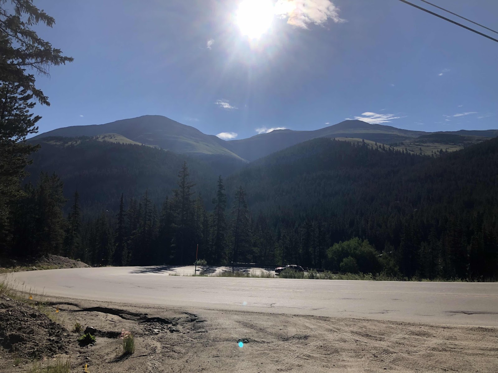
That was a steep one!
I was counting down the miles by half mile increments. I would stop and take a break now and then. Sometimes to take a photo.
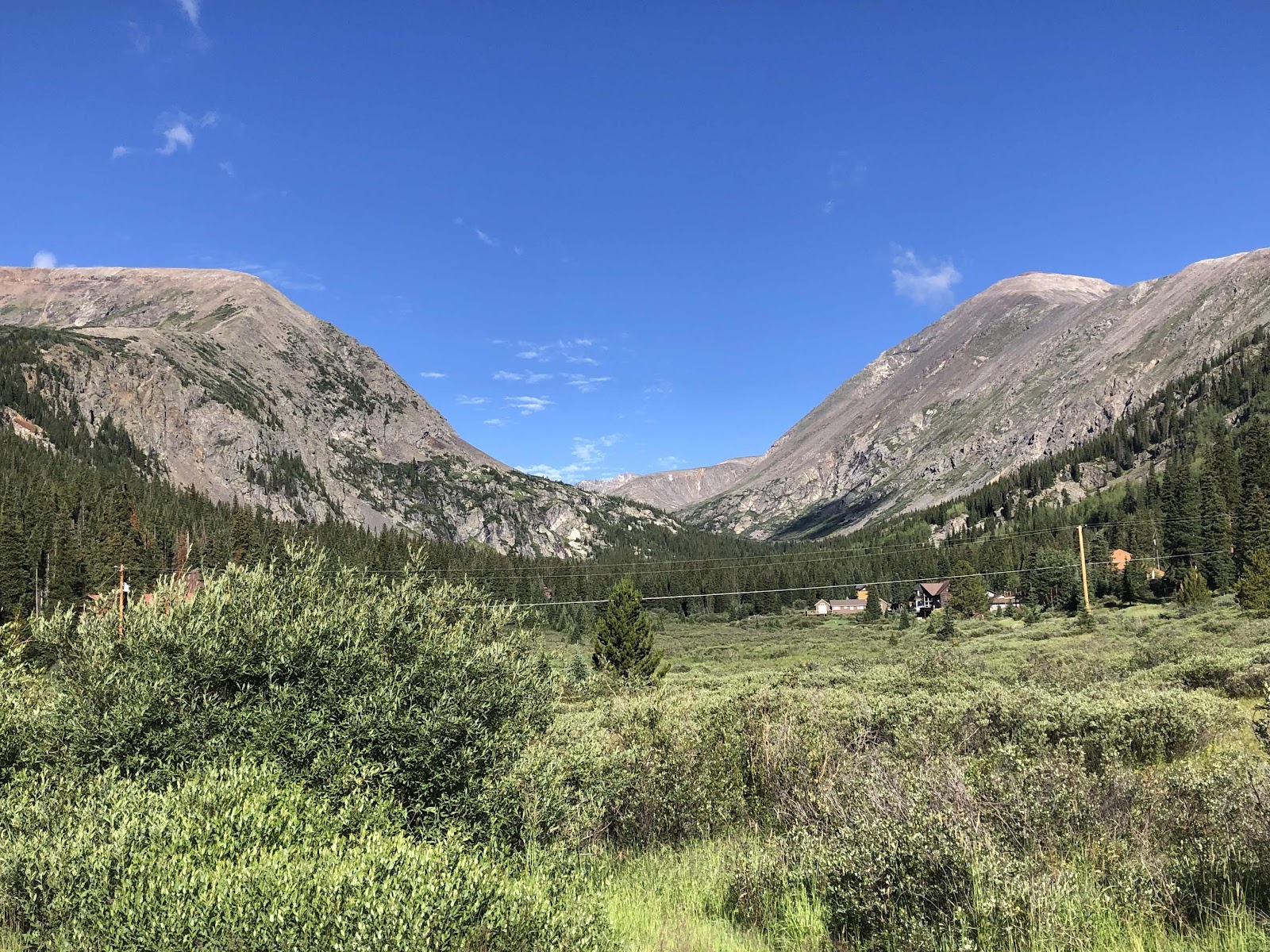
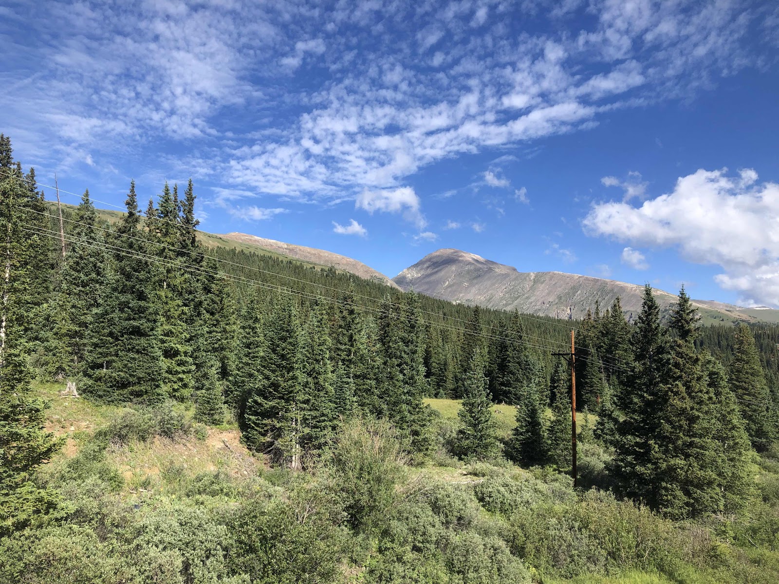
They don’t call them the Rockies for nothin’.
Finally, we reached the top of the Pass. It was chilly, so we didn’t spend a lot of time, but we took the necessary photos.

Hoosier Pass is the highest point on the Trans Am. Tilmann may never be this high again!
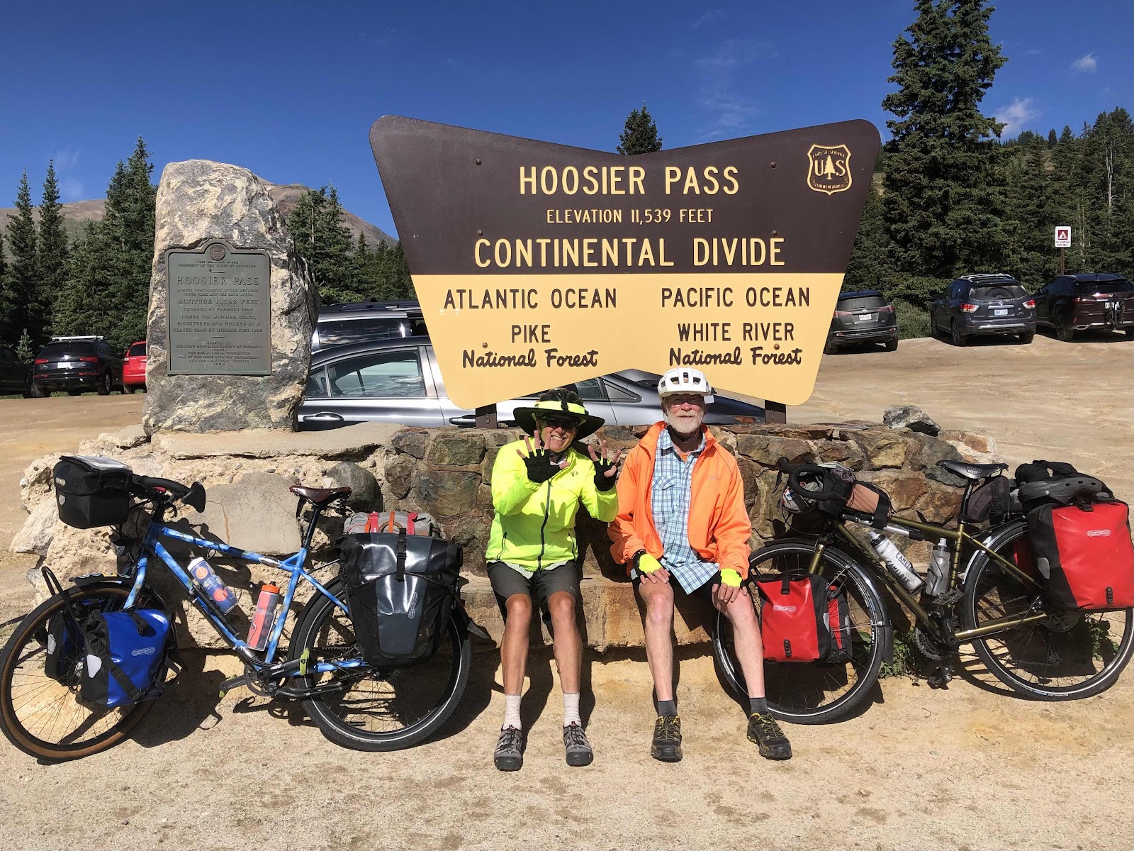
Our 8th (and final) Continental Divide crossing.
I was excited to get to a lower elevation, so I took off. Doug was right behind me (relatively speaking as he doesn’t go downhill as fast as I do).

Let the downhill begin!
I rolled into Alma (known for being the highest incorporated town in Colorado). I pulled off at a couple of food trucks. By the time I used the restroom, Doug had pulled in too. I ordered some sweet potato fries with cinnamon and sugar. They were delicious. Doug had a BLT. He said it was the best one he’s had on the trip so far.
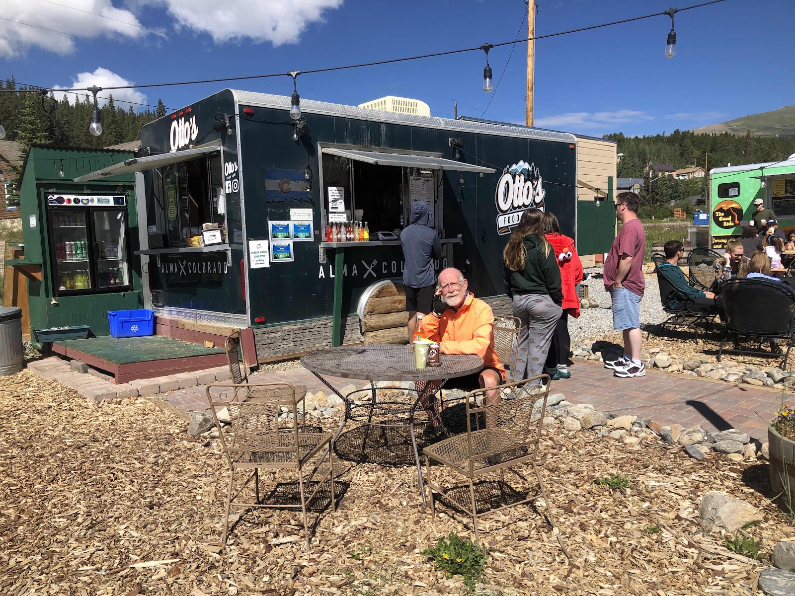
It was a pretty popular place.
After we ate, we hopped on a bike path that went from Alma to Fairplay. It was pretty bumpy, but much better than being on the busy, shoulderless road.
When we rolled into Fairplay, it was crazy busy. I think it was a Saturday Market or something. There were cars and people everywhere! It was very slow rolling through town. We didn’t bother to stop.
Once we made the turn out of Fairplay, we were now on the signed US Bike Route 76. Really, we’ve been on it the whole time, but this was the first signage we’ve seen.
Unfortunately, the main highway was closed, so all the traffic was detoured onto the road we were taking. So much traffic!!! And, no shoulder. It was rather tense until the detour left our route. At least it was mostly downhill or flat.
A couple of miles after the detour traffic turned, we pulled into Hartsel. We stopped at the convenience store and got snacks and drinks. We could have camped in Hartsel, but it was not even 1:00, and we had only gone 40 miles. We pushed on.
We had descended to about 8900 feet. We had to go back up to 9400 to go over Current Creek Pass. It wasn’t too bad, but the wind was often not in our favor. The terrain had changed significantly.
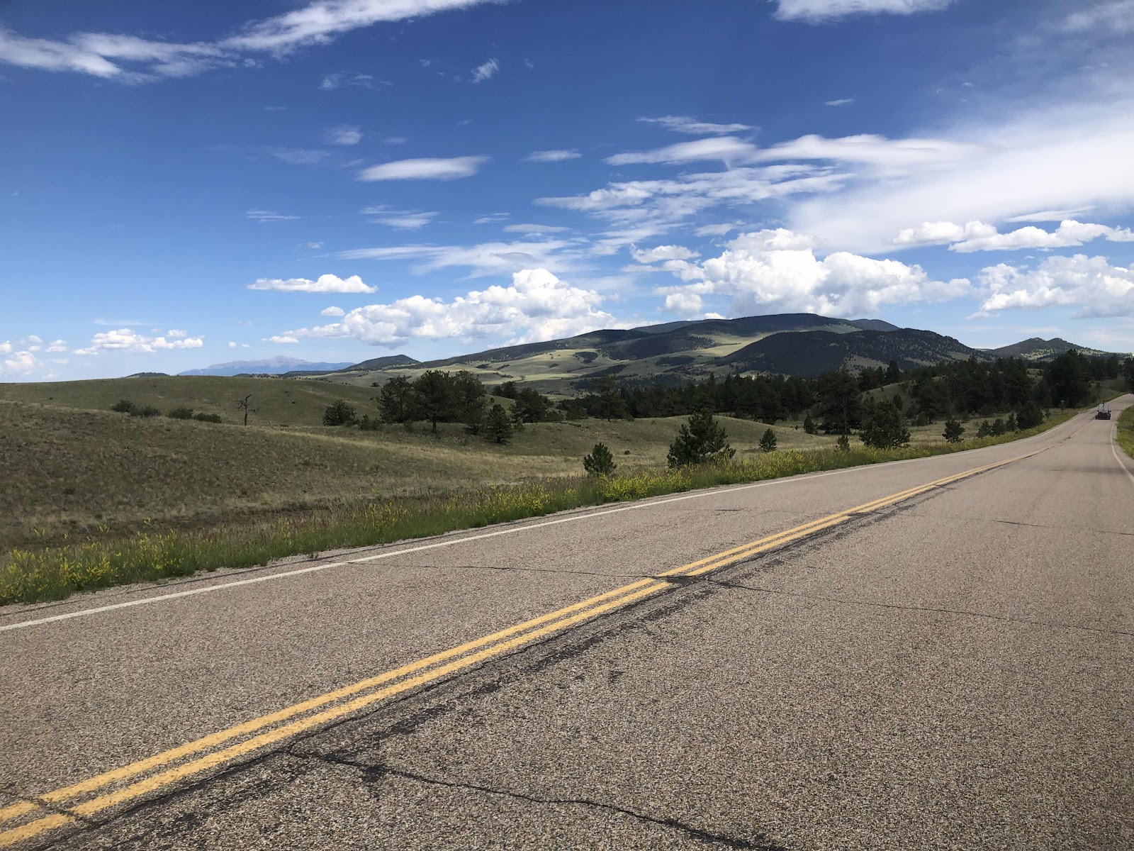
Much more open.
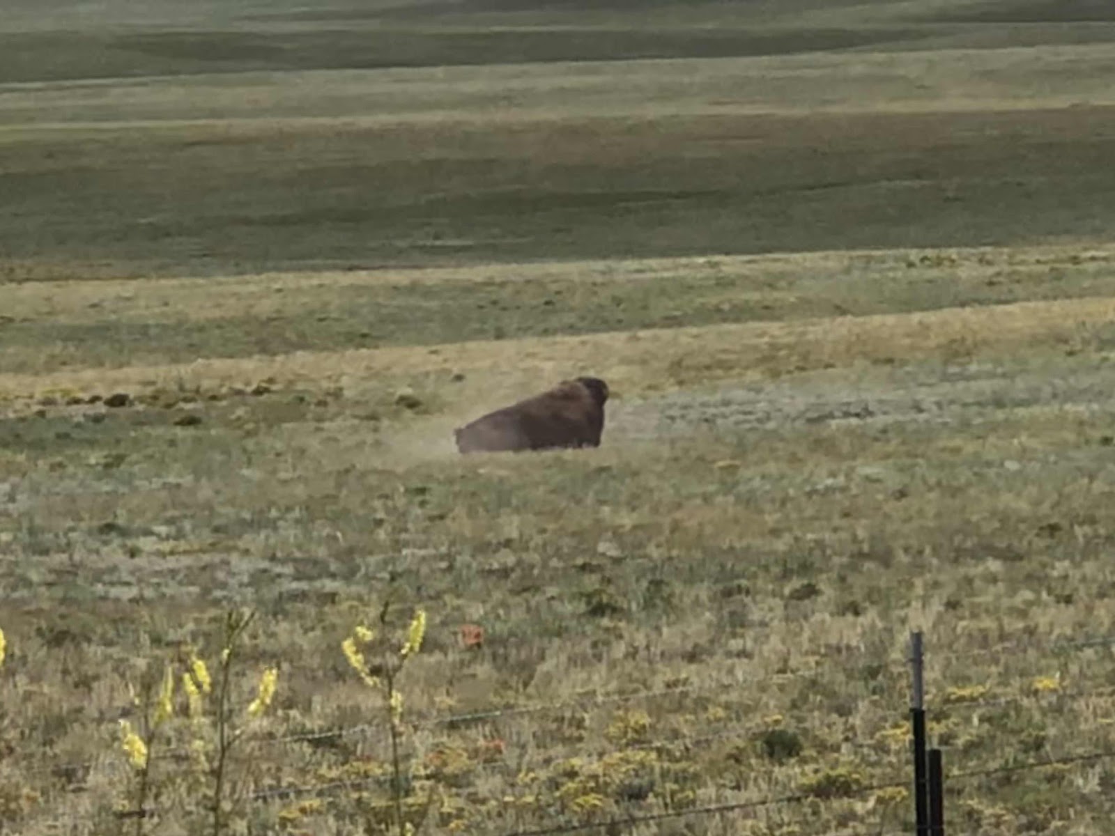
And we saw this bison (just as I took the photo, he dropped down for a dust bath).
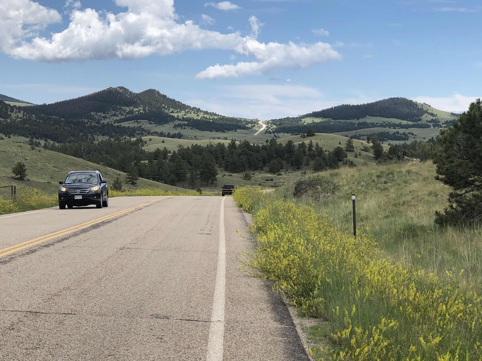
See the road in the distance? That was the top of Current Creek Pass. First we had to go down (so we could then regain the lost elevation). When we have to do stuff like that, I only look at the miles to the top, not the elevation.
We thought it would be mostly downhill from the top. It was, but there were still some less enjoyable uphills. Because the elevation profile on the map showed a rather large amount of downhill, we decided to push on to the camping after turning on to Hwy 50. We could have stayed in Guffey, a ghost town of sorts turned into lodging/camping. There were also storm clouds brewing over Guffey, but blue sky in the direction we were going.
After a few more ups, and some significant down (we ended up at about 6000ft), we made it to Hwy 50. The first RV Park was a bust. They didn’t allow tents. We rode another 2 miles to the Royal Gorge/Cañon City KOA. This is one of the more funky KOAs. The “roads” are terrible. We ended up having to walk our bikes. We finally found our unsigned site, and stopped our Garmins at 88.6 miles for the day. That is, by far, our longest distance day. It was over 8 hours of ride time. We arrived at 6:20.
We were in dire need of doing laundry, so we got set up, and walked back down to the showers and laundry. Our laundry was finally done at 9:30. Still, it’s good to have clean clothes and clean bodies at the same time!
Now I really must go to sleep!
No comments:
Post a Comment