Tuesday, February 21, 2023

Day 5-Where the Final Day Turns Out to be the Most Difficult

Yesterday, Bethany commented on how we had ridden on every surface imaginable except one, which we did not speak of aloud. Then, last night, it rained most of the night. Yeah, that one surface we didn’t mention? We encountered it today…mud. Sticky clay mud. Oh, and we thought today was going to be easy. It was mostly downhill with two less than a half mile climbs. 

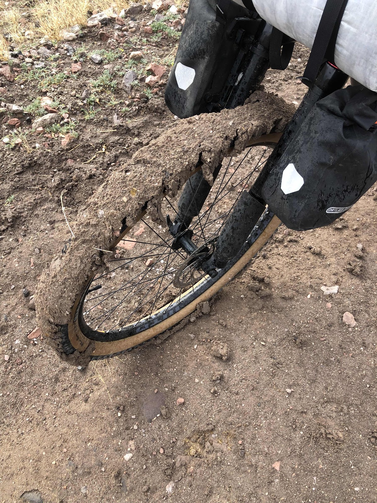
This was after I had scraped some off. Turns out the titanium poop trowel makes a good scraper! Usually, I try to avoid the rocks, but the rocks helped fling the mud off the tires, so I bounced my way down descents hitting rock after rock, and avoiding the soft smooth…mud. Oh, and it totally caked in my cleats on my shoes. It made me an inch taller, and very hard to clip into the pedals!

We came to the first of the two climbs. Couldn’t ride it. Had to push. 

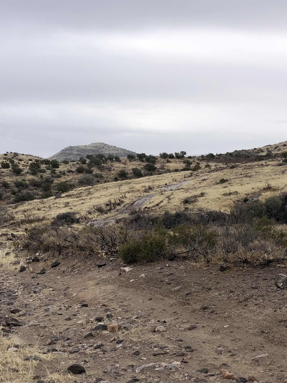
See that track snaking up the hill? At least there was more rock than dirt, so the wheels (and my shoes) didn’t get too caked up. Bethany said her wheels seemed to attract the mud more than mine. I don’t think it was so much that as it was that mine shed the mud better (with some speed and rocks, the mud was flying off).

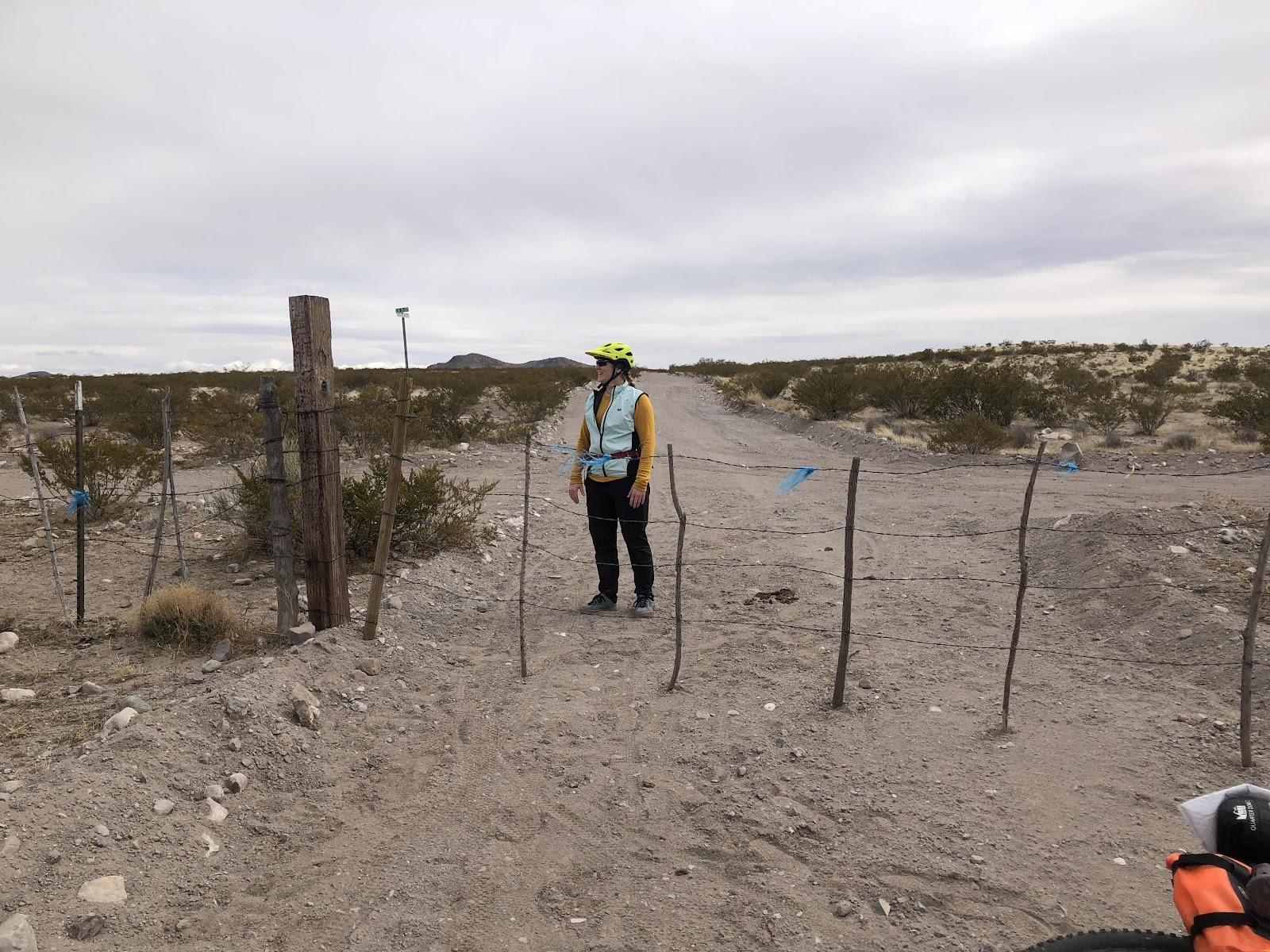
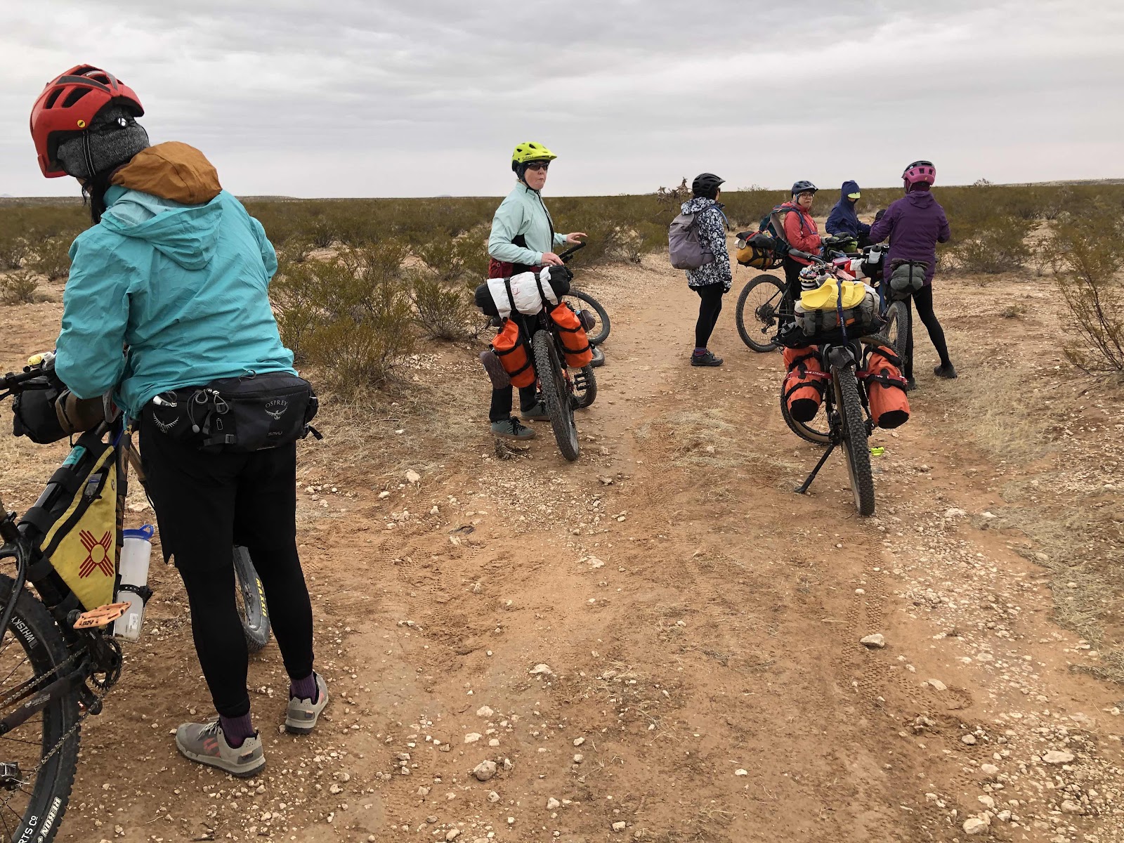
We finally got to some less dirt, and were able to ride more. We came upon a gate. I think it was the first one of the day (there were several). The only problem was this one had a padlock on it. After having a fit (okay, not really), we commenced with taking all the bags off the bikes so we could lift them over the barbed wire fence. Bethany was able to lift her’s by herself. It took both of us to lift Billy. 

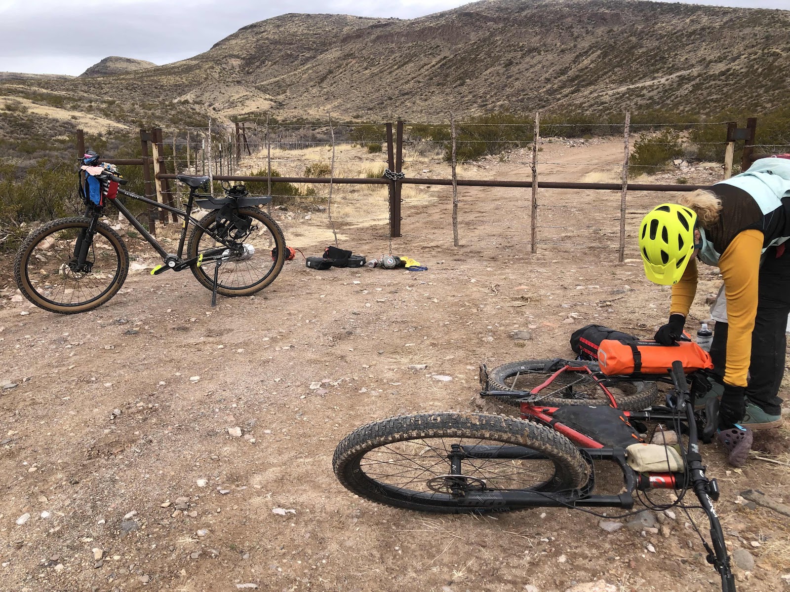
Over the gate, and putting the bags back on. We commented how little did we know we would be unpacking and packing the bikes two extra times (at this time we didn’t know we would get to do it twice more…). 

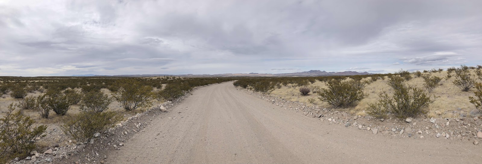
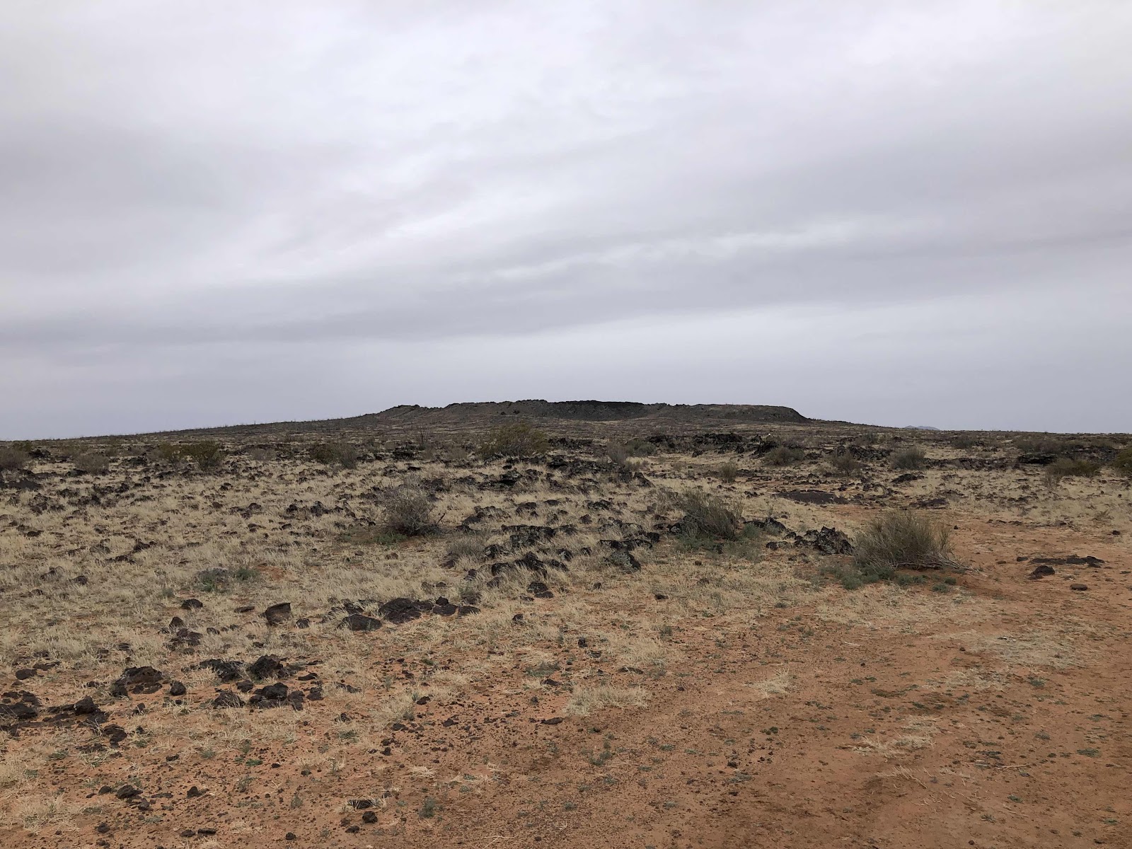
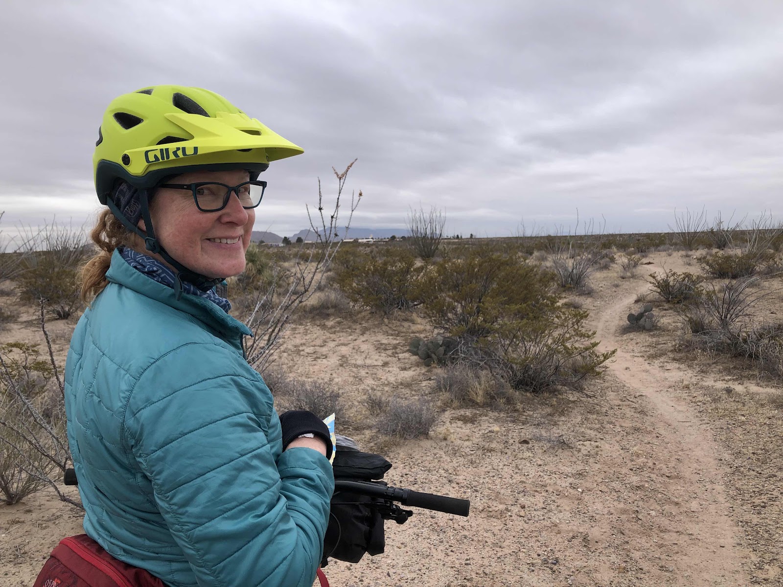
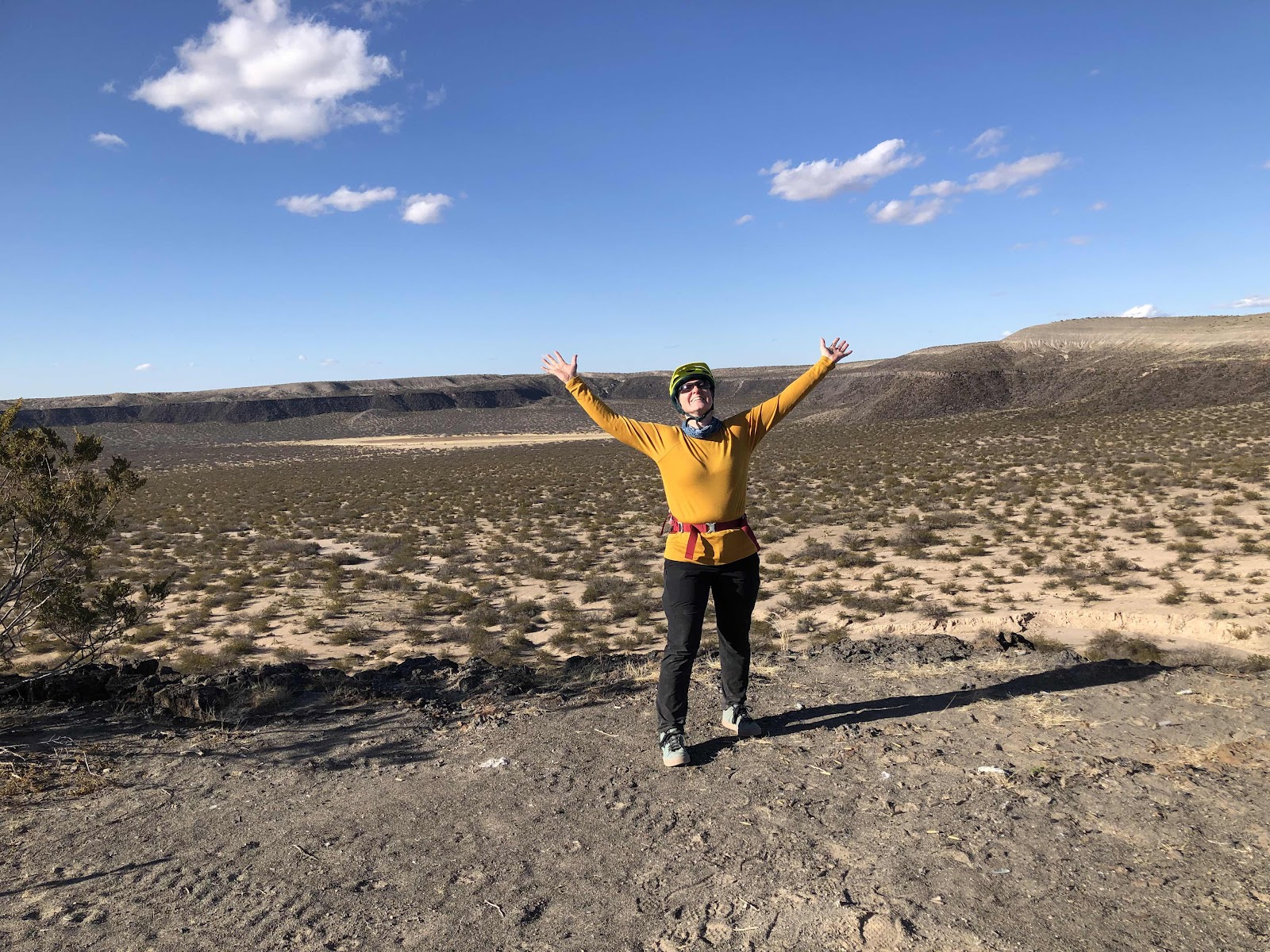
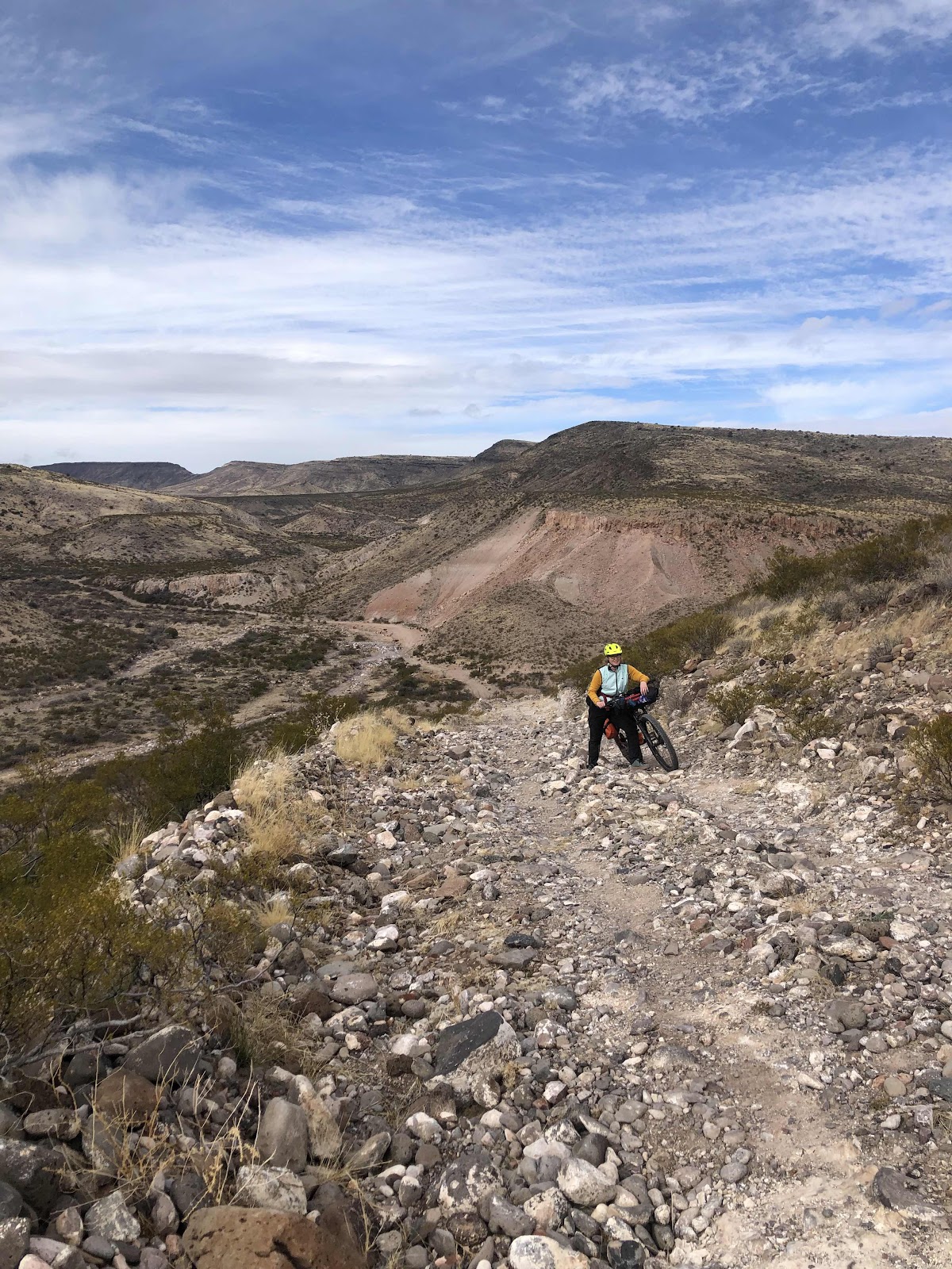
Back to riding, it was pretty good. The weather was drying the ground out, and we weren’t collecting mud at all. We still had one more “climb of note” (that initiates the climb profile on my Garmin). Pretty soon we could see it looming in the distance. Oh, this was going to be a doozy! As we looked at the monstrosity, Bethany said we should take the bikes up one at a time. Me, ever the optimist, said, “Often the hill isn’t as steep as it looks once you get going.” Bethany said, “Oh, it’s steep!” I said I wanted to give it a go, and push Billy up myself. 

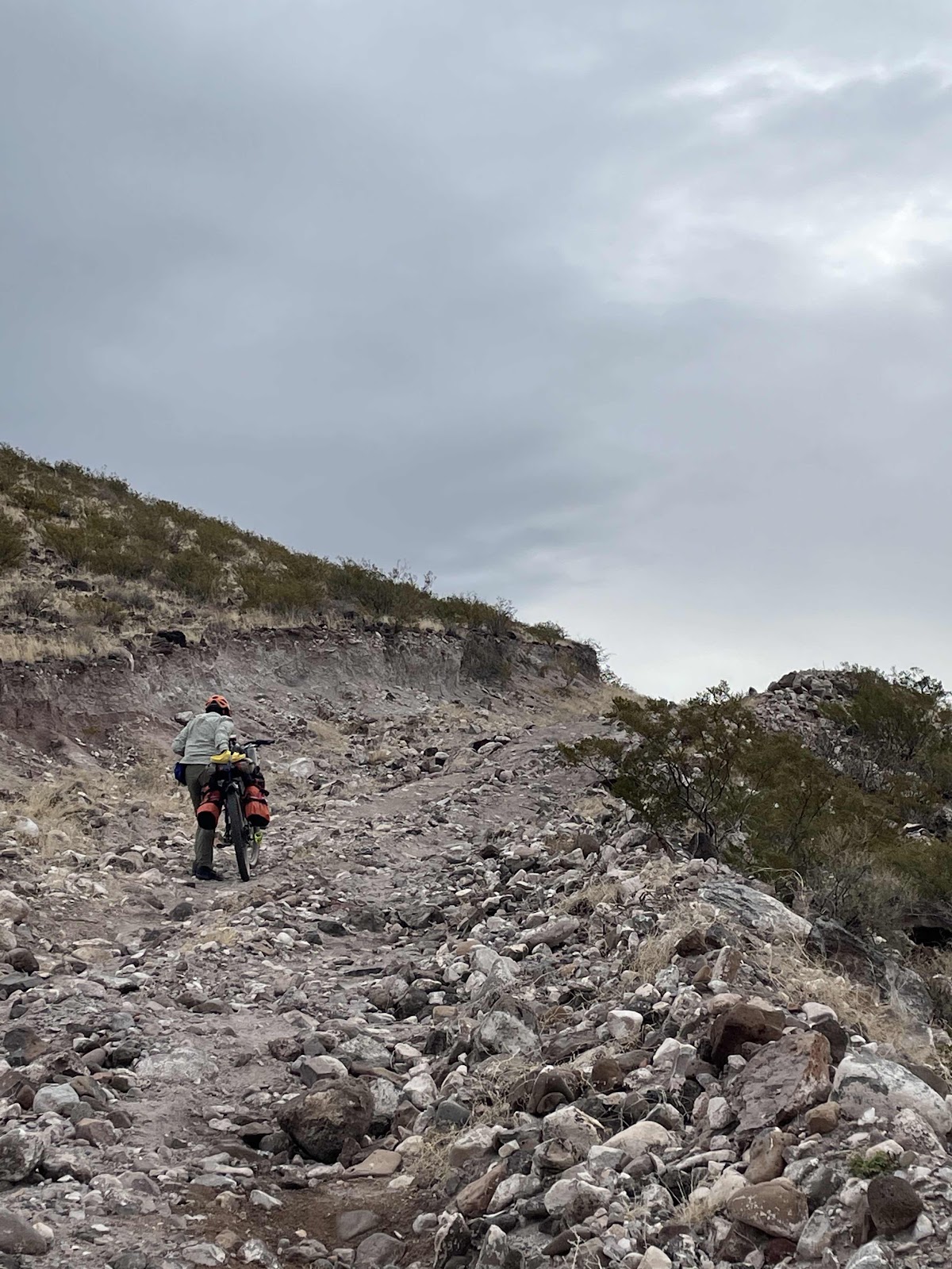
As you can see, I managed it. 
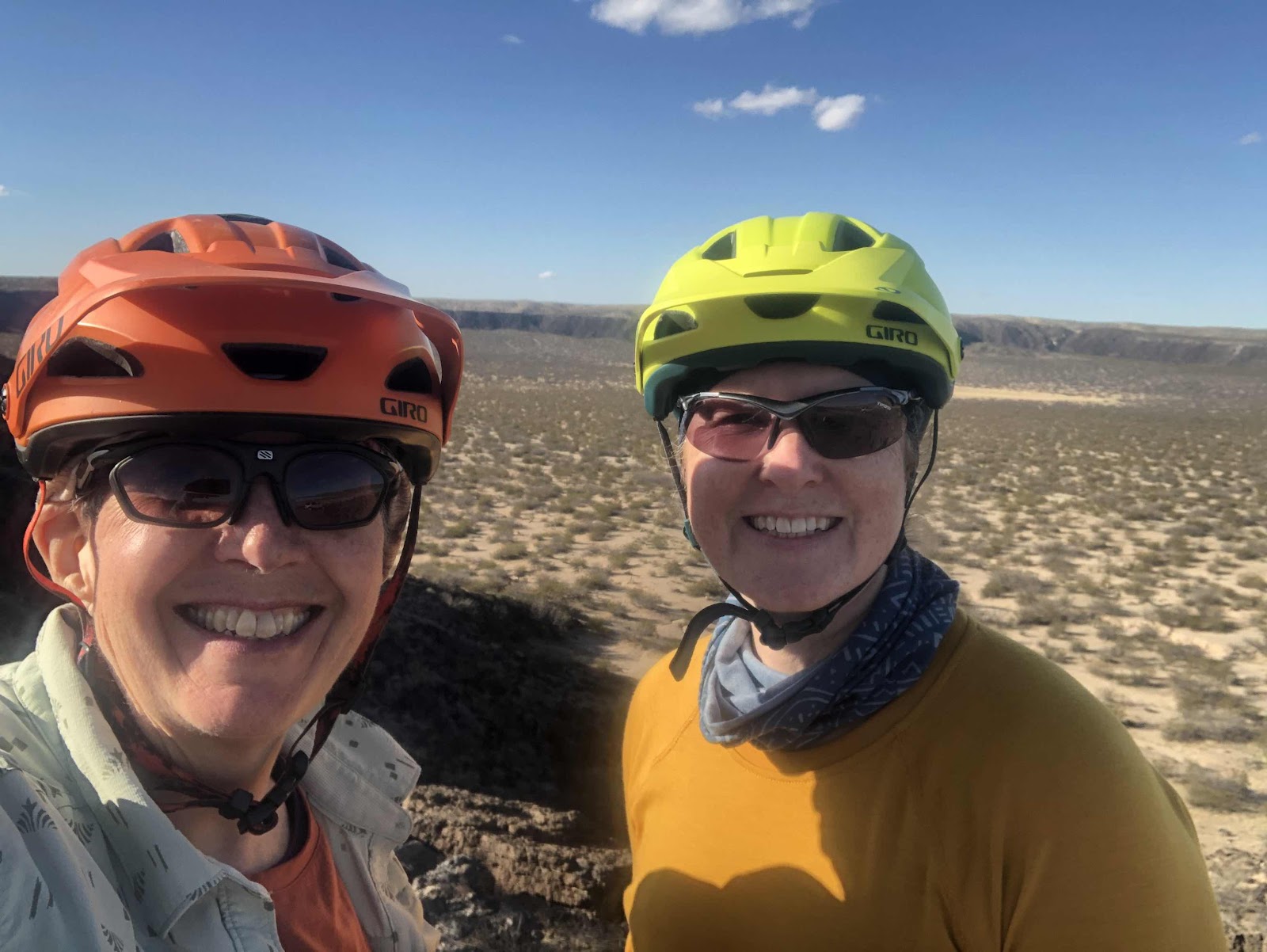
So did Bethany. 

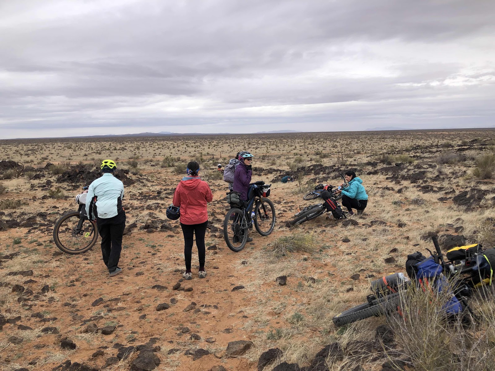
We took a little snack break at the top (little indeed, as we didn’t have much food left). 
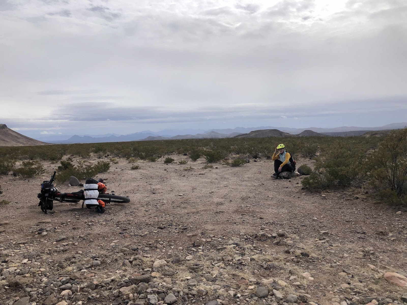
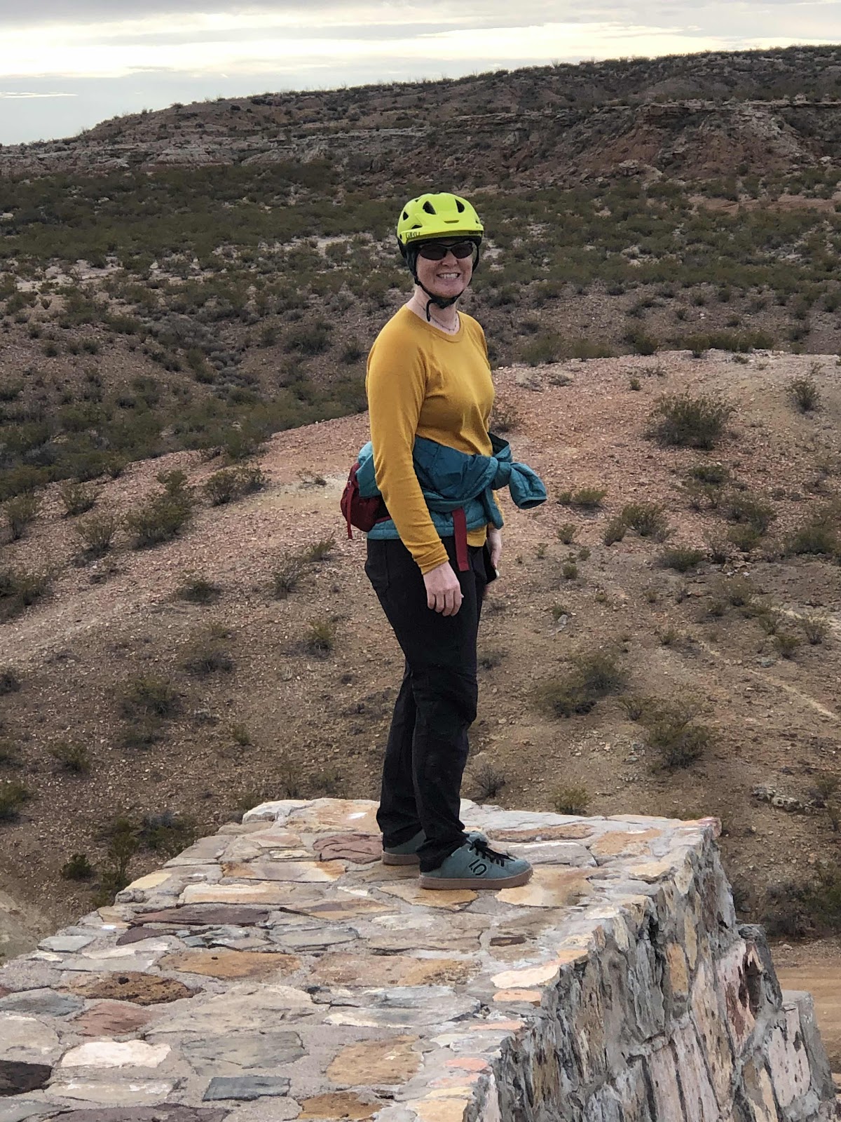
Sitting on a rock. 

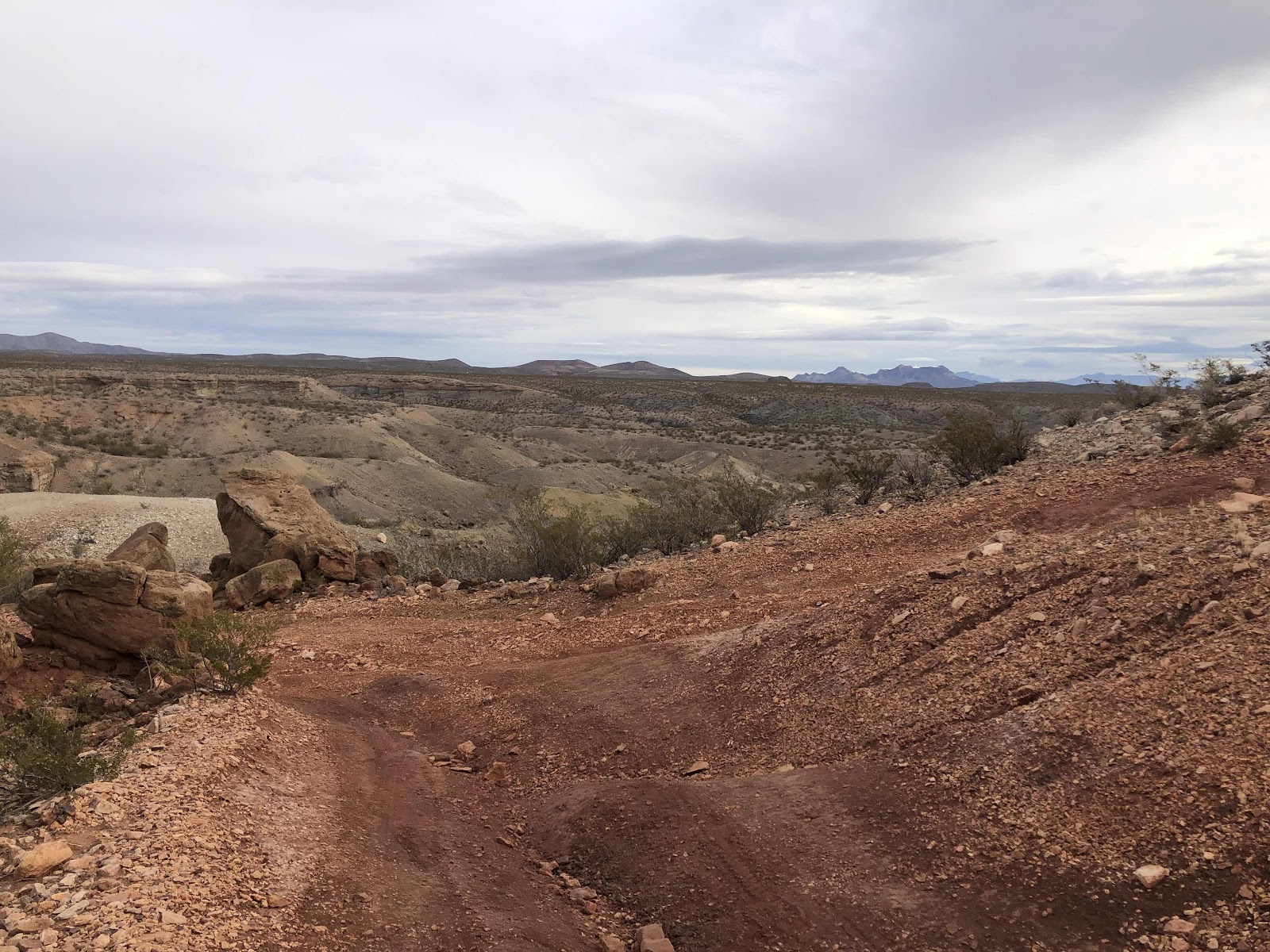
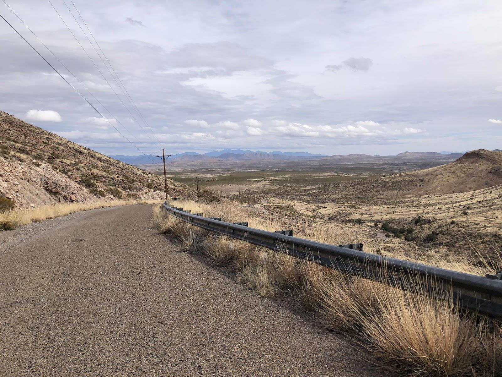
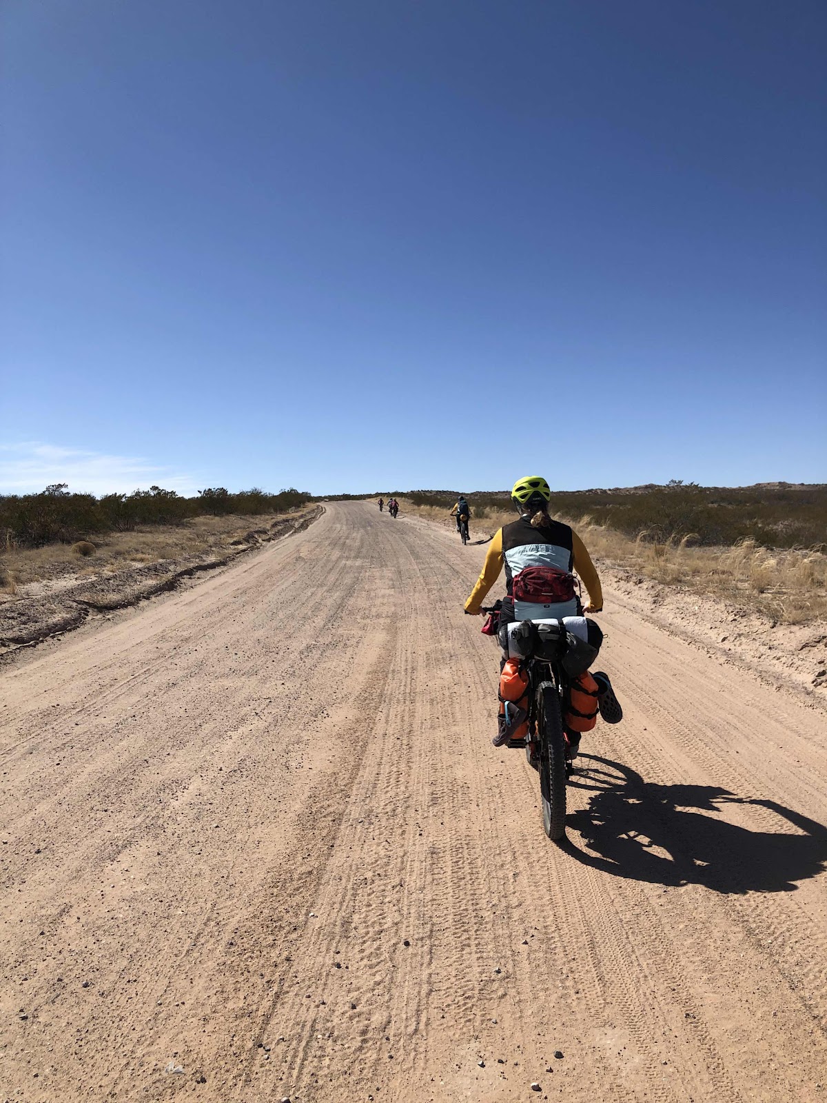
From there, things got much better. A nice long straight gravel road. 

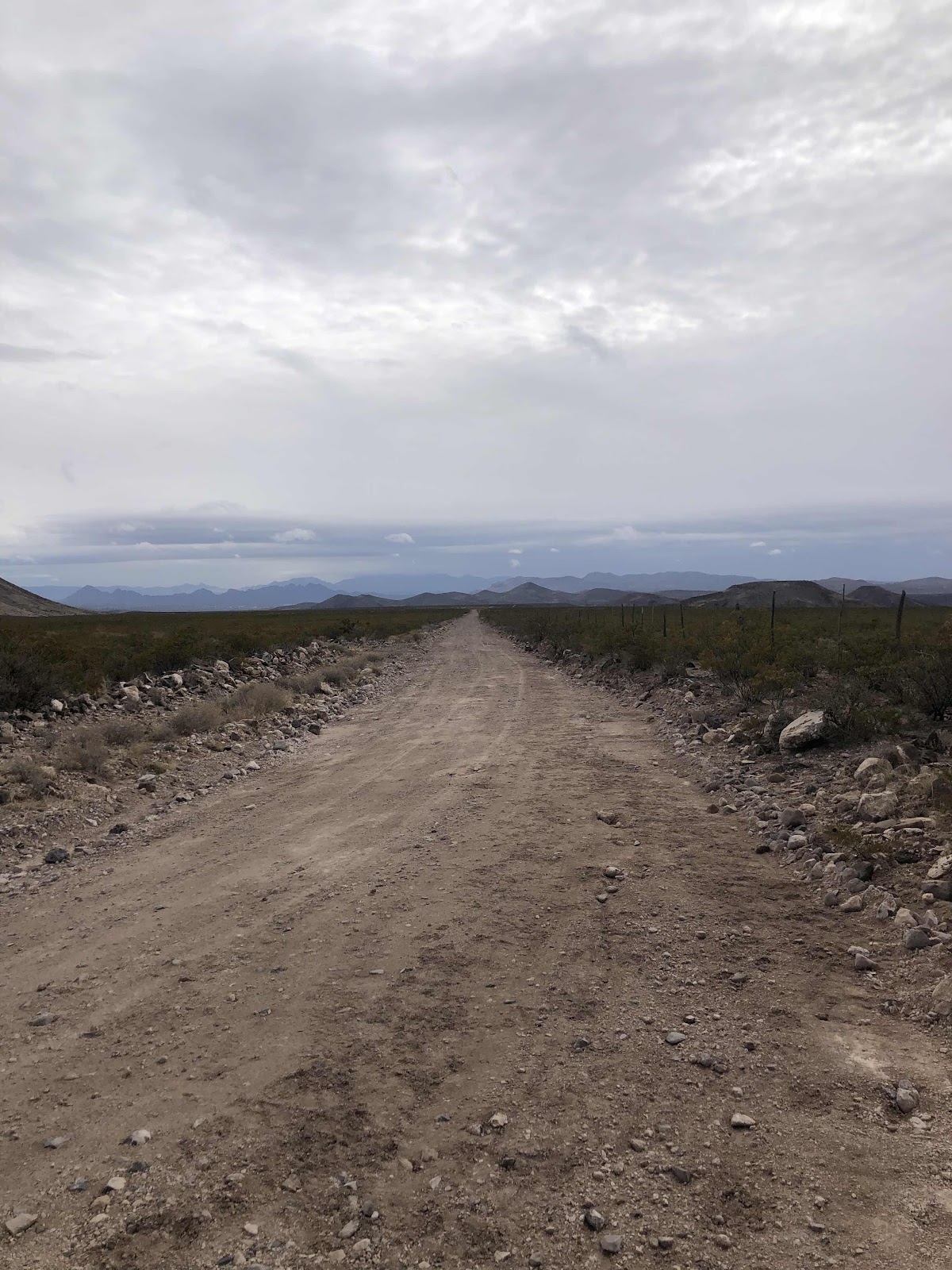
Trending down, no less!

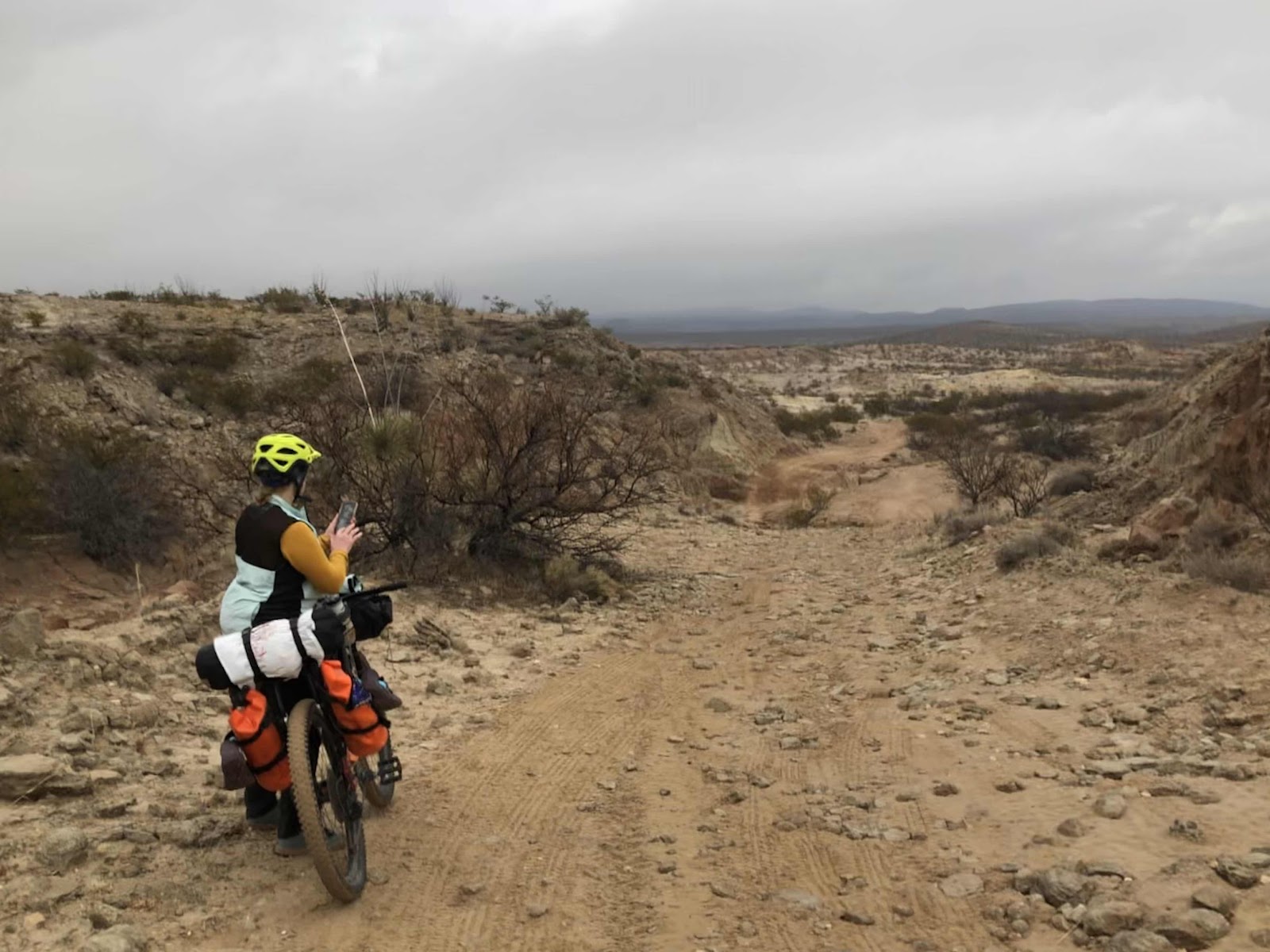
We came to where the road curved, but there was a road continuing straight too. The route said to continue straight onto Broad Canyon. There was a little sign that said, “No access to Hwy 185”. Had I looked ahead more at the route, I would have seen that we were heading to 185. However, I would have just thought it was meant for cars. Surely not bikes. We continued onto Broad Canyon. It got a little rougher, then it got really sandy. 

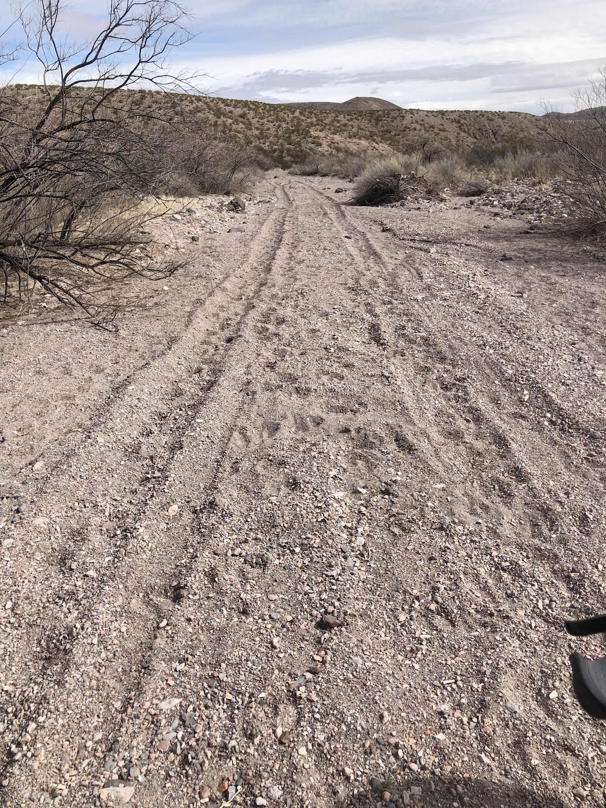
Basically, we were riding in an arroyo. Because it was still trending down, I was able to ride it. Bethany, unfortunately had her front wheel come to a sudden stop…but she didn’t. Fortunately, if you have to go over the handlebars, landing in  the sand isn’t too bad. 

Before long, my Garmin was saying we were off course. Since we didn’t much care for riding in the sand anyway, we decided to heed its warning, and find the course. We walked in the direction of the purple line on my Garmin. It said “Course found”, but there was no track. Bethany went scouting with her Garmin in hand. She came back to say there was kind of a trail, so we started pushing the bikes on the trail. 

Do you see a trail? No? Me neither. 

We could see the highway we were supposed to turn onto. We just kept picking our way toward it. Then we came to a barbed wire fence. Not a gate, but a fence. In fact it was a triangle of fences. On the other side of the fences was a plowed field. I climbed over and went around the corner to see, if we lifted our bikes over the fences, could we get out of the field? It looked possible. So, once again, we took all the bags off, threw them to the other side of the first fence, lifted the bikes over, and climbed over. The second one, we were able to lift up the wire and slide the bikes, and ourselves under. 

Billy was next to go under. 

Once we were in the field, we made our way to the gate. There were actually two gates, one of which was next to the highway. We opted to go to that one. It was locked. For the third time, we took the bags off, lifted the bikes over, and put the bags back on. We were actually getting pretty fast!

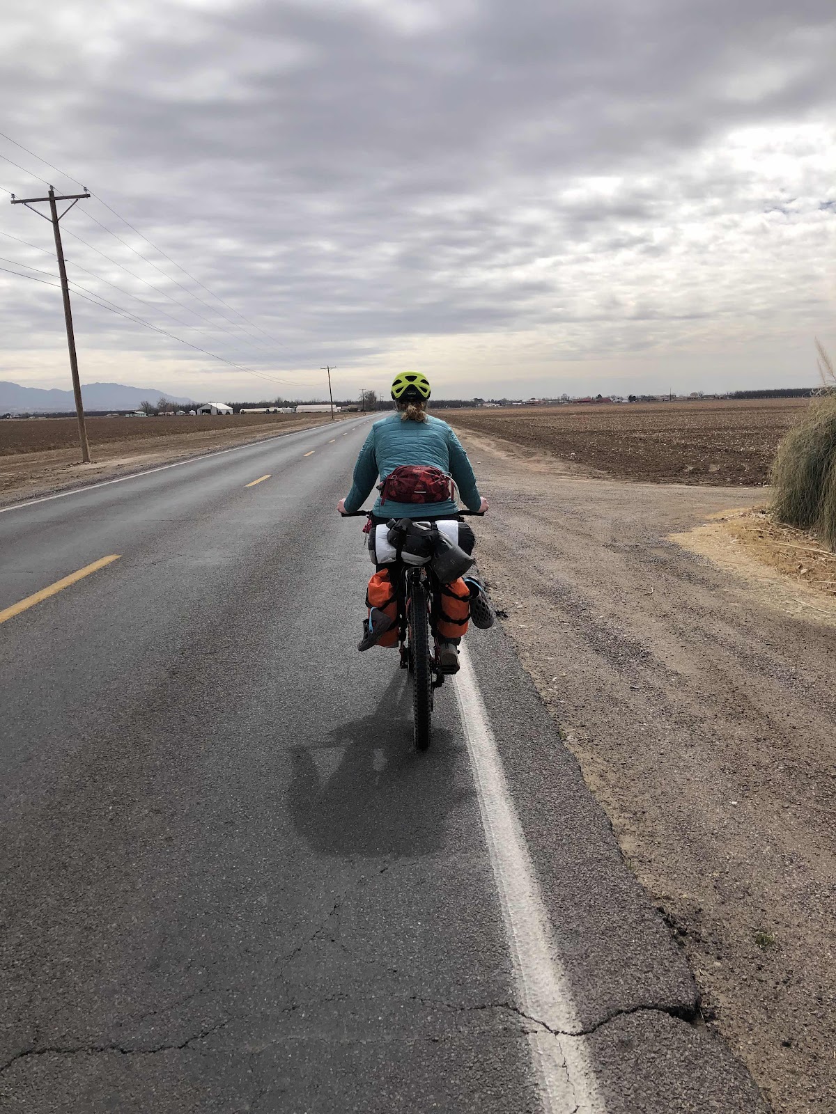
Finally, we were on the highway. Next stop, Radium Springs, and some food! There was a little bit of climbing, but it wasn’t too much. The wind, however, was starting to make itself known. We rode about 5 miles to Radium Springs. 

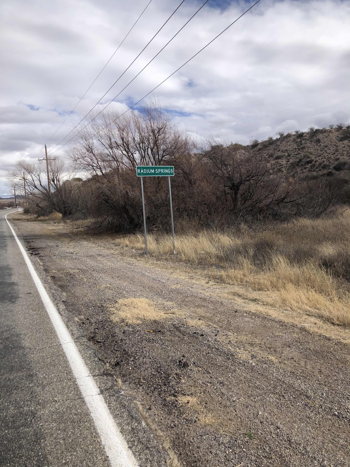
I like to call it Radiator Springs (from the Cars movies).

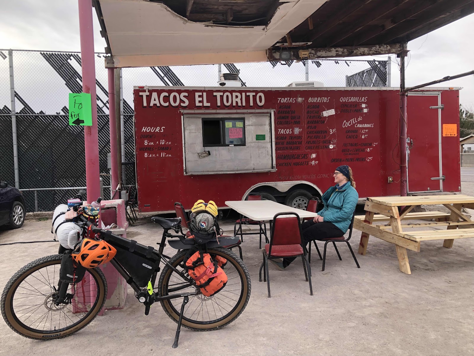
I pulled up to the Blue Moon Bar and Grill and waited for Bethany. Once she arrived, we headed in for some hot food, and a couple gallons of water to drink pronto (we were running low on that too). We both had chicken tenders and fries. They weren’t anything special, but they sure tasted good!

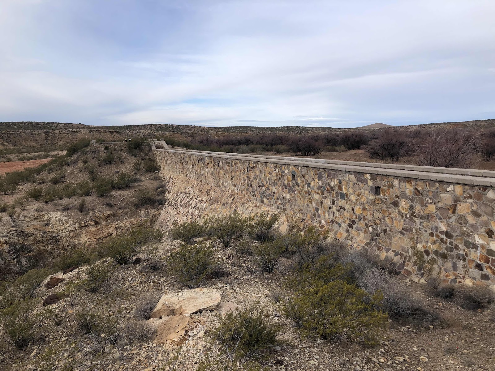
Back on the road, we had a couple miles to go before getting onto the Rio Grande Levy. 

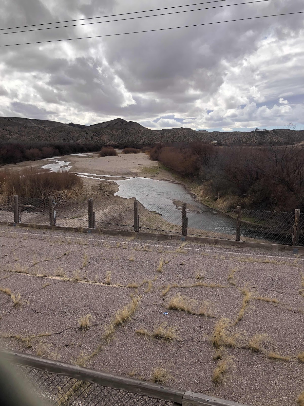
Crossing the Rio Grande

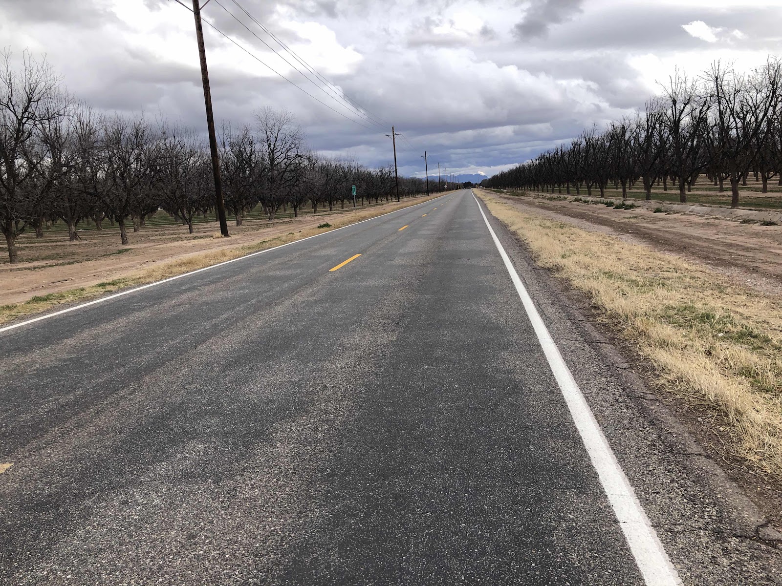
Pecan Orchards on both sides of the road (NM grows 20% of the country’s pecans).

Once on the gravel levy, the wind had really picked up. It was sometimes a crosswind and sometimes a ferocious headwind (like you could barely move).

Couldn’t really see the river from the levy. 

It was a slow slog. We came to a point where the levy was closed and the route took us back to the highway. That lasted about 3 miles before we were routed back to the levy. Bethany wanted to stay on the highway, but it didn’t look like it would take us where we needed (turns out it would have). She Google mapped the route to our hotel in Las Cruces, and it said to take the levy. So back to the levy we went. Again, the wind was howling, and the gravel on the levy was thick in places, and washboard too. There was a dirt road down below that looked smoother, and maybe out of the wind a bit. I told Bethany we could try it, and see if it was easier. If not, we could just come back up at the next opportunity. It was easier. Not much less windy, but smoother, so we could go a little faster. 

We finally reached the end of the levy, and came to a paved path. 

It was 2 miles to the end of the route. Bethany wanted out of the wind, so instead of going that way on the trail, we went the other way. It was probably about the same distance, but the wind was behind us for awhile. 

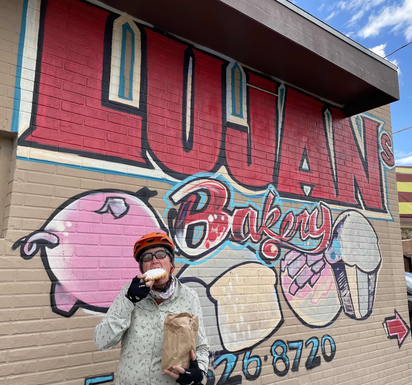
We were making our way toward the hotel when we came upon this. 

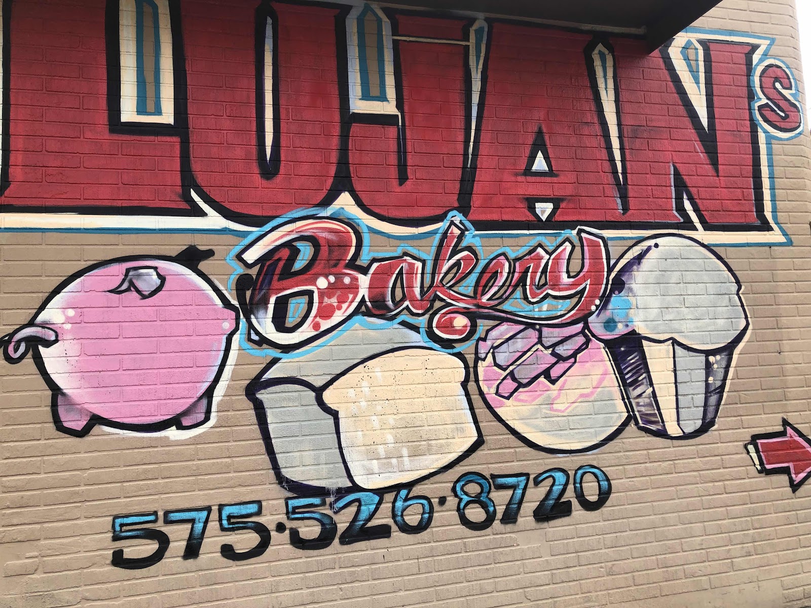
Yeah, we stopped. I got a few items while Bethany watched the bikes. It was a delicious Mexican panadería. So many things to choose from! I got a coconut covered cookie, a blueberry empanada, and another thing that looked good, but I don’t know what it was called. I took a couple of bites of the cookie, then we continued to the hotel. 


We arrived at the hotel at 5:15 (we had left this morning at 7:45). We had gone just 41 miles in over 9 hours! 

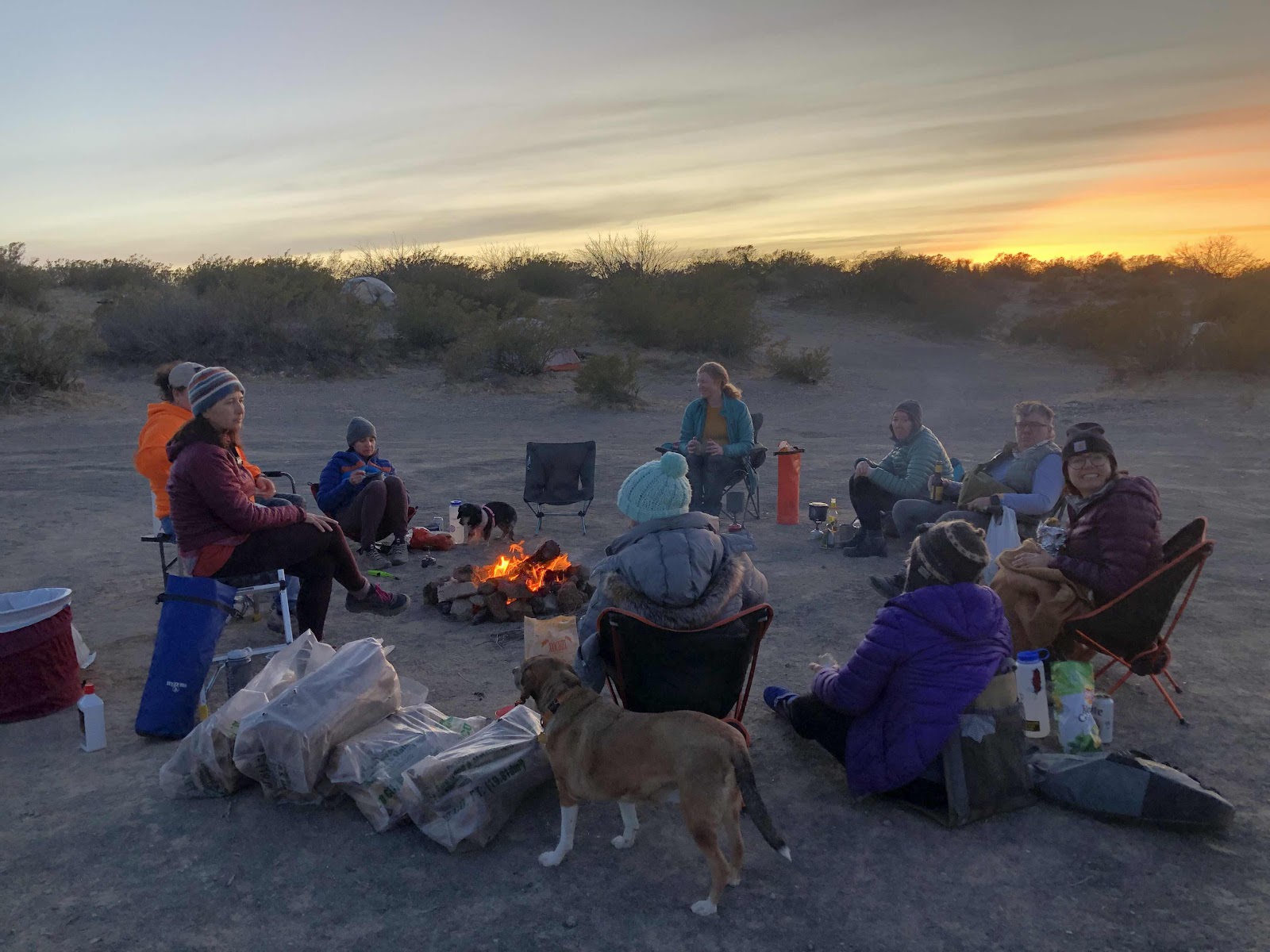
Sara had texted me asking if we wanted to go to dinner when we got back. Of course! She said she’d invite the other SheWolves too. I took a quick shower (Sara was picking me up at 6:15). Bethany, being flat out exhausted, opted to stay at the hotel so she could get working on packing her bike. 

Sara and I met Tanya at a cool Mexican restaurant in Masilla (which was the first town, before Las Cruces). 
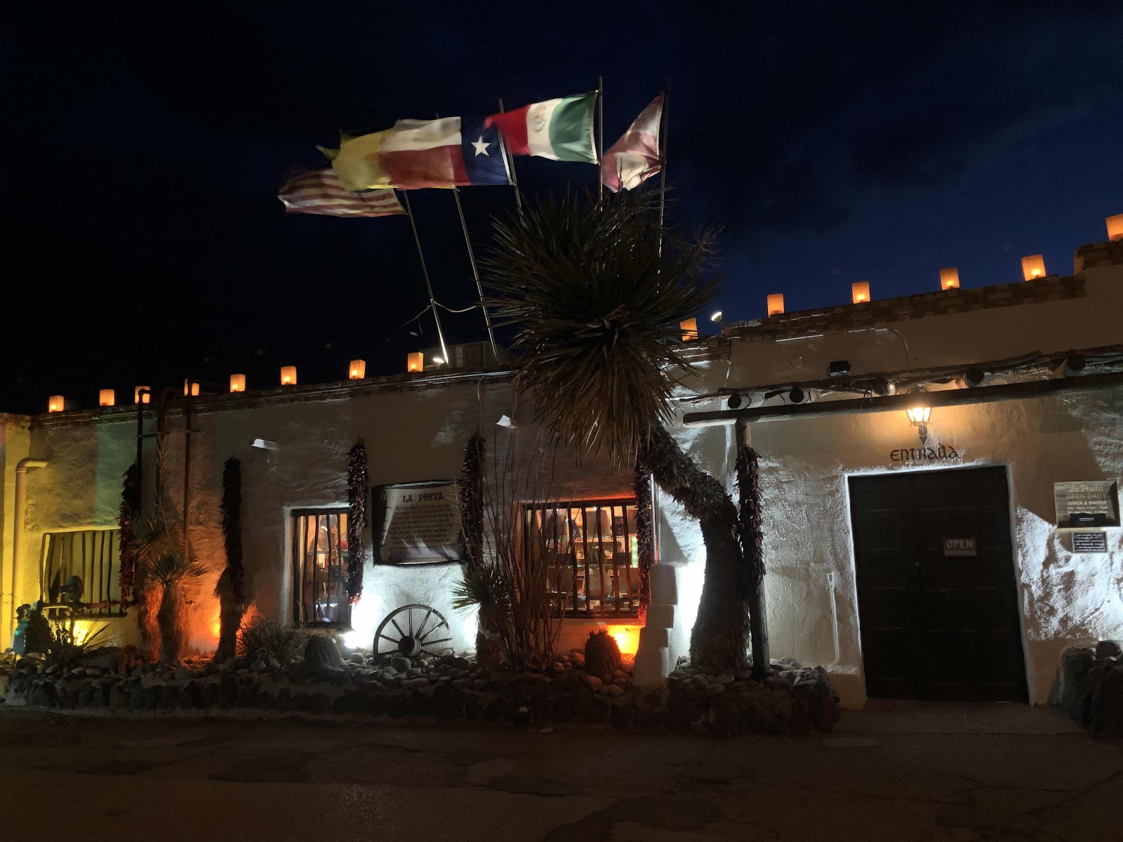
La Posta. 

Inside, the restaurant was really cool. There were two large macaw parrots in a giant aviary. There were these big stars (I’ve seen them as piñatas before) hanging from the ceiling, and lots of other artwork. We had a great dinner, which Sara paid for, even though I told her I should be buying their dinner since they have been so helpful and welcoming!

When I told Sara (who had created the route for us that we could do in the time we had) what today had been like (especially the fences), she was shocked. Then she realized that Ride With GPS must have used her most recent route (Broad Canyon), and not the route she intended. That place where the road curved, and we went straight?…we should have turned. 

Yes, today was very challenging, but we channeled our mantra of we can do hard things, and managed to not only survive, but have an epic adventure. 

For this being Bethany’s first multi day bikepacking adventure, and a pretty difficult one at that, she did amazingly well. She’s not so sure she would do one with this magnitude of epicness again, but now she had an experience with which to compare all future adventures!


Day 4-Doing Some Pushing, But Not Up the Big Climb!

There were some sprinkles of rain throughout the night, but no rain once we got up. 

Our campsite in the morning. I like the clouds that look like they are emanating from Picacho Peak. 

Today’s route was a little bit of everything, and not at all boring. Shortly after we started we went the wrong way. But, it was great because we ended up at the Box Canyon Dam. 

From what we could make out on a weathered marker, it was built by the CCC in 1935 (or maybe ‘39-couldn’t tell if it was a 5 or a 9).


I told Bethany how I always see something cool when I go the wrong way. 

Back on the route, the keep tracks were rough. It was also quite the rollercoaster. I rode most of the downs, and walked a number of the ups. Also got bogged down in sand a few times. 

Yes, I walked up this. 

I rode down most of this. 

Finally we got out of the canyon, and up on the plateau. It was much easier going. 

The rocks were a little annoying…

We could see this hill with a road going up it. Sure enough, we were going up it. By some freak of nature, I managed to ride up the whole way. The descent on the other side was pretty scary, but I made it!

Bethany did great too!

Then it was easy pedaling to the paved road. We only spent about 3 miles on the pavement (saw a Border Patrol vehicle go by us), before getting back on gravel. This section was pretty easy. We had to go through a couple of gates. I would get to them first, open the gate, then Bethany would close it. 

This area was called Yucca Flats. 

Pretty easy going (sometimes some sand though)

What’s wrong with this picture?

The wind was a bit of a factor today. For awhile we had a headwind, then after lunch we had a section of delicious tailwinds. Bethany said it made her feel like a rockstar. 

We returned to pavement (curiously, the same paved road we had been on before). This was the beginning of the longest climb of the whole route. It was over 5 miles long, and at one point I saw 13% grade on my Garmin. But, since it was paved, I was able to ride up the whole thing (took one break at spot where it was “only” 11%)! So thankful for the 600% gear range on Billy! I used that 15.9” gear the whole way up!

Not even the top yet. If you zoom way in, you can see Bethany down there. 

The climb leveled out for a bit, even went down a little. Then I looked ahead. (Side note: We have a route we do in Capital Forest that has two climbs that Scott refers to as MF #1 and MF #2.) If Scott were here, he would name these the same. I knew that just as I came to to top, there was a campsite option. I decided to stop there and let Bethany choose if she wanted to go on, or stop for the day. 

It’s just a flat spot. 

Unfortunately, the wind was really whipping there. Also, we were nearly at the top of the climb, then it would be downhill, and…it was only 2:30. We decided to go on in hopes of finding a flat spot somewhat sheltered from the wind. About another mile, we found a flat spot, but the wind was still blowing. Still it’s better than it would have been up on top. 

Sorta sheltered. 

Anyone know what this plant is?

Bethany says this was her hardest day ever. I’ve had harder days, but this wasn’t easy. We did it though! We can do hard things!


Day 3-Not All Days Can Be Sunshine and Roses

The forecast did an about face, and we woke up to rain this morning. So much for the sunrise at Kilbourne! 

Billy and my tent (oh, and the hole). Note the cloudy skies. 

I packed up inside my tent, and then when it stopped raining, got everything on Billy, and my tent taken down and packed. 

Everyone else was doing the same thing. Kat had started a fire. I heard Misty say she was heading out. Before she left, I filled the baby seal (dromedary bag) full at 6 liters. With enough water, we wouldn’t need to go down into town, and then back up to continue on the route. Misty also left some bananas and gummy bears. I ate a banana, and stashed some gummy bears in my Chuckabucket. 

We were all ready to roll by about 8:45. Kat took a group photo. 

Kerry, Bethany, Sara, me, Ashleigh, Aracely , Ello, and Tanya. 

A guy from the film crew of the documentary showed up just before we left. He was going to get some drone footage of us riding. He followed us for awhile. I hope it makes it into the documentary. 

We rode along with the weather sprinkling off and on. It didn’t rain too hard. Eventually, I was too warm with my puffy jacket on under my Shake Dry, so I took that off and stowed it. 

There were moments of sand, moments of chunky rocks, and everything in between. We went through a few fence gates, and over cattle grates. 

A rest break after one of the gates. 

There is another crater, but it was quite a hike off route. Instead we stopped and ate lunch. 

The edge of the crater way off in the distance. 

Lunch spot

We licked the bones clean!

The time came for us to part ways with the SheWolves (except for Sara). They had to get back to their cars at Tanya’s place. Sara was riding home, so she would continue with us for awhile longer. 

Goodbye new friends! We’ll see you again sometime!

We parted at a fence where you could take a short cut and go over the train tracks. Fortunately, a train had just gone by, so we were good for a moment. This short cut saved us 12 miles (the route goes to the next crossing, then comes back to where we went across the tracks). 

The train tracks we had to go over. It wasn’t easy, but we did it. Then we had to go through another fence to pop out on the route road. 

Then we were on a very wide, often washboarded, gravel road for a long time. Then we had to say goodbye to Sara. We turned left toward Picacho Peak, and she went straight back to town. Then we were two. 

Sara had told us an option where, since we didn’t  have to resupply, we could go a shorter way. I thought it was just the part where we would go into town. We would skip that, and just continue. But, she had also told us of another way that wasn’t on my Garmin. Well, we kind of combined the two (not good). We came through a tunnel under I-70. We thought we were to go left (right would take us to town). So we went left. We climbed up a gradual hill on pavement. Garmin kept telling us to make a u-turn, when it should have recognized that we were still on the route. Finally I stopped to look at the route on my phone. Nope, we were going the wrong way. Then I looked closely, and could see that we just needed to go back about a mile, and we could pick up a road called Box Canyon Dr. This sounded familiar. Box Canyon Drive would take us directly to where we wanted to camp! 

We made the turn. It was back to sand, rocks, and washboard. Soon we were riding alongside the airport fence. Wait, Sara had said we would ride alongside the airport fence! Then I figured out we were on the road she had told us about. Everything was tracking with what she had said. Woo Hoo! This was a much shorter way to go. 

We came to a descent that Sara said was rocky. Yep. 

Going down! We walked it because not only were there big rocks, but it was sandy too. The rock formations were pretty cool. Once we got through the canyon, we came back to the route. 

There’s Picacho Peak hiding in the clouds. 

Now we just had to find a camp spot. Did that in short order, and got camp set up. The rain has stopped, and it looks like the sky had cleared up some. My rain fly is mostly dry. 

Even though we rode through rain off and on the entire day, it was a good day. Bethany would have liked to go into town and stay at a hotel, but I told her you have to take the good with the bad. Not all days can be sunshine and roses!


Monday, February 20, 2023

Day 2-Riding With the SheWolves!

The wind blew throughout the night, and it was cold, but I stayed warm, and Bethany said she stayed warm too. It was a rather long night though. I woke up at 5:00, realized it wouldn’t be light for another hour and a half. I went back to sleep. I woke up again at 6:30, and it was light! We packed up our stuff, and we were back on the Sierra Vista Trail by 8:15 (can’t really say we were “back on the trail” as we never really left it…camped right next it).

Let’s go!

We didn’t have much longer on the trail. We were quite happy to finish, and get out to the road. 

Ahhh…sweet pavement!

In Vado (I think it was still Vado), we stopped at the infamous Tacos El Torito food truck. 

I got a torta and a burrito. I meant to eat the torta, and save the burrito for later, but I ate the burrito instead, and ate the torta later (it was wrapped up better). We made a stop at the Circle K for some water, then got back on the route. 

We were heading to Kilbourne Hole to meet up with the Doña Ana SheWolves for a night of camping. We stopped at a small market when we saw another bikepacker. His name was Phil, and he knew all the women we would be meeting. He was out doing the Southern Loop in the reverse of what we are doing. He was looking at Billy, so I went to get off. Caught my foot on my sandals on the back, and completely fell over backwards! It was a good thing I had my helmet on because I whacked my head on the ground. Yes, I managed to make it through the whole Sierra Vista Trail without crashing, yet fell over getting off my bike in a paved parking area! I was okay, just a bit of a headache that I cured with a coconut ice cream bar. 

As I was eating the ice cream, the SheWolves rolled up. There were five of them, including Sara, who picked us up at the airport. 

After introductions, we started riding toward Kilbourne. We were soon on gravel. 


All the women are strong riders. I was often near the back, or at the back. 

We stopped to eat some lunch on the side of the road about halfway to Kilbourne (for them…we had about an extra 10 miles). These ladies are so much fun! 

We made it across the train tracks before a train came. Phil had had to go around a train that was stopped, blocking the road. Before too long, we entered the Organ Mountains-Desert Peaks National Monument. 

Apparently, this is a new sign. 

We still had about 8 ish miles to go. Not long before the turn to where we were going to camp, we hit a section of deep sand. It was slightly uphill. I let some air out, but it was still really hard to ride it. I had to walk a few feet. 

We all met up with Kat who had driven her car out with firewood, water, and all kinds of stuff. She had scoped out the camping for us because at the spot we were originally planning on, there is a film crew doing a documentary. We rolled to the edge of Kilbourne Hole (it’s a crater that NASA used to simulate the moon for training), home for the night. 

We made it!


Kilbourne Hole 

We all chose our spots to put are tents. It was tricky because there is a lot of broken glass. A fire was started, and we all grabbed our chairs/sit pads. Misty brought her four little dogs. One is Sweet Pea, and she is a dapple dachshund. She hopped into my lap. 


A bunch of SheWolves sitting around a fire. 

Me and Sweet Pea. 

We spent the evening laughing and telling stories. So so much fun! I’m really glad we got to connect with them! 
Tomorrow we’ll ride a bit more with them, then they will turn back. Sara is going to ride longer with us as she is going a different way. Now I need to go to sleep. Today was 43 miles. We’ll have at least that much tomorrow.