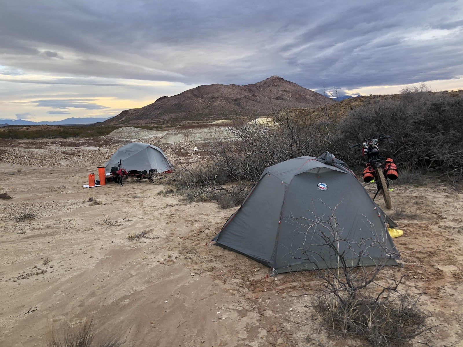
Our campsite in the morning. I like the clouds that look like they are emanating from Picacho Peak.
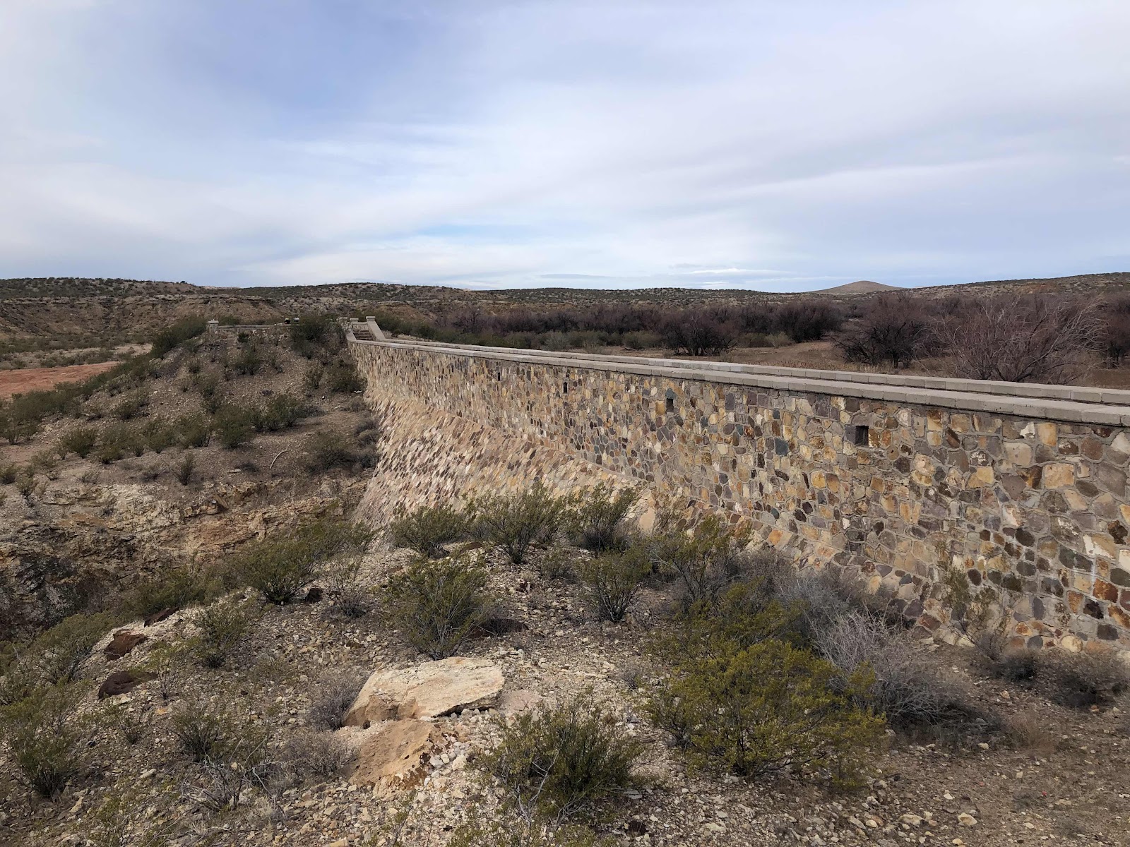
Today’s route was a little bit of everything, and not at all boring. Shortly after we started we went the wrong way. But, it was great because we ended up at the Box Canyon Dam.

From what we could make out on a weathered marker, it was built by the CCC in 1935 (or maybe ‘39-couldn’t tell if it was a 5 or a 9).
I told Bethany how I always see something cool when I go the wrong way.
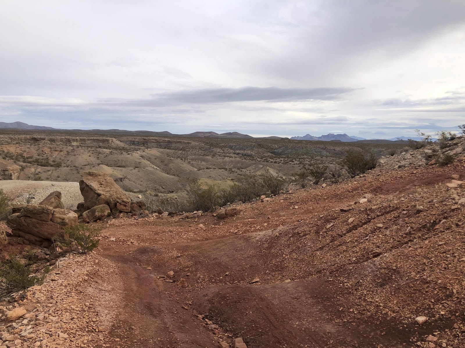
Back on the route, the keep tracks were rough. It was also quite the rollercoaster. I rode most of the downs, and walked a number of the ups. Also got bogged down in sand a few times.

Yes, I walked up this.
I rode down most of this.
Finally we got out of the canyon, and up on the plateau. It was much easier going.

The rocks were a little annoying…
We could see this hill with a road going up it. Sure enough, we were going up it. By some freak of nature, I managed to ride up the whole way. The descent on the other side was pretty scary, but I made it!

Bethany did great too!
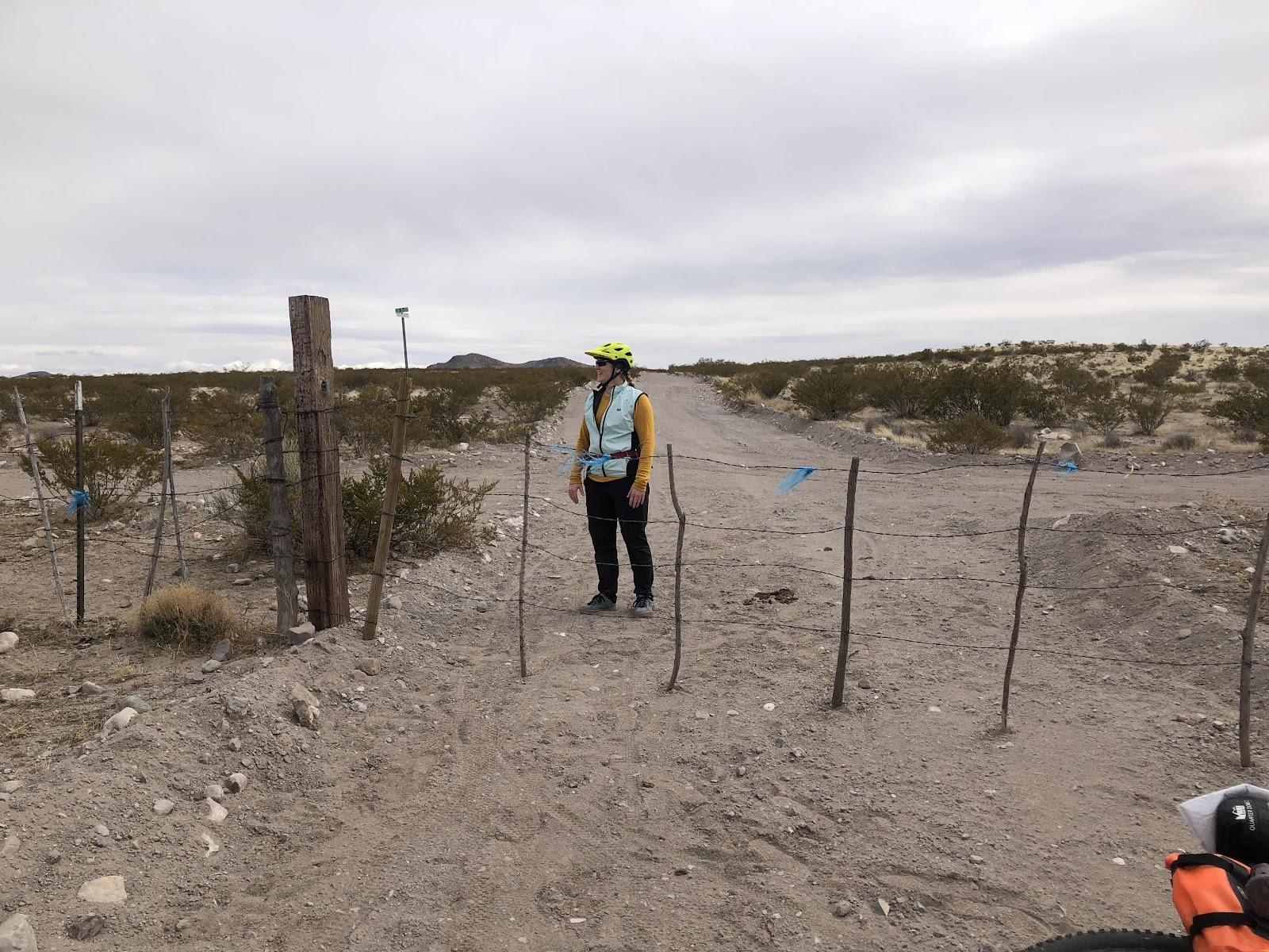
Then it was easy pedaling to the paved road. We only spent about 3 miles on the pavement (saw a Border Patrol vehicle go by us), before getting back on gravel. This section was pretty easy. We had to go through a couple of gates. I would get to them first, open the gate, then Bethany would close it.

This area was called Yucca Flats.
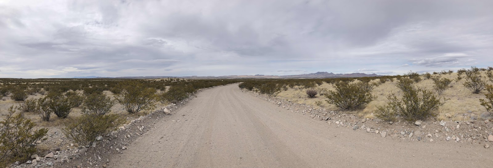
Pretty easy going (sometimes some sand though)
What’s wrong with this picture?
The wind was a bit of a factor today. For awhile we had a headwind, then after lunch we had a section of delicious tailwinds. Bethany said it made her feel like a rockstar.
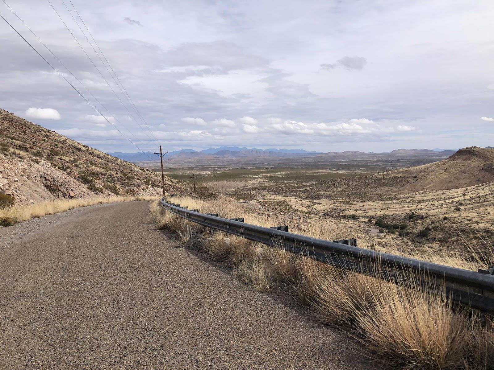
We returned to pavement (curiously, the same paved road we had been on before). This was the beginning of the longest climb of the whole route. It was over 5 miles long, and at one point I saw 13% grade on my Garmin. But, since it was paved, I was able to ride up the whole thing (took one break at spot where it was “only” 11%)! So thankful for the 600% gear range on Billy! I used that 15.9” gear the whole way up!
Not even the top yet. If you zoom way in, you can see Bethany down there.
The climb leveled out for a bit, even went down a little. Then I looked ahead. (Side note: We have a route we do in Capital Forest that has two climbs that Scott refers to as MF #1 and MF #2.) If Scott were here, he would name these the same. I knew that just as I came to to top, there was a campsite option. I decided to stop there and let Bethany choose if she wanted to go on, or stop for the day.

It’s just a flat spot.
Unfortunately, the wind was really whipping there. Also, we were nearly at the top of the climb, then it would be downhill, and…it was only 2:30. We decided to go on in hopes of finding a flat spot somewhat sheltered from the wind. About another mile, we found a flat spot, but the wind was still blowing. Still it’s better than it would have been up on top.

Sorta sheltered.
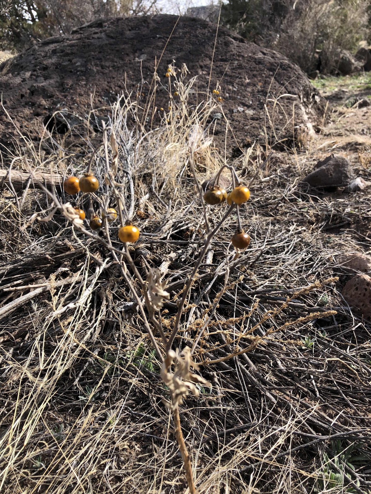
Anyone know what this plant is?
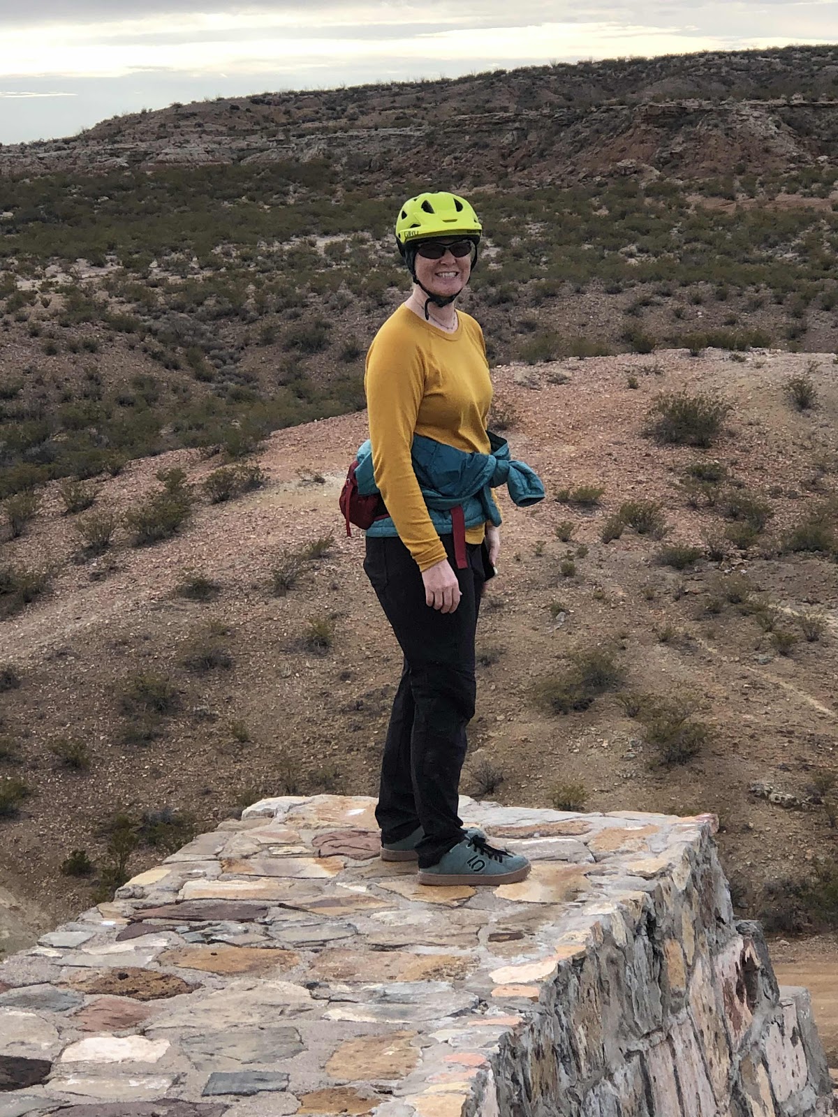
Bethany says this was her hardest day ever. I’ve had harder days, but this wasn’t easy. We did it though! We can do hard things!
1 comment:
According to google-fu it's the fruit of some type of nightshade, possibly the Silverleaf Nightshade.
Post a Comment