Monday, May 31, 2021

Ochoco Overlander Day 4-Three More Climbs to Finish the Route

Day 4 was, once again, a clear-blue sky day. Since we had done so many miles the previous two days, we didn’t have so many miles to go today. There were still three climbs in the climb profile, one of which was over 6 miles. 

We started with dropping down from Walton Lake. Derik was thinking we would be getting on the Ochoco Hwy (the dreaded Hwy 26). Nope...at least not yet! We had a great gravel section that was mostly downhill. At one point, I looked ahead, and could see three big 5th wheel RVs pulling out from a camping spot. Dang! One, they are dust bombs, and two, I could go faster. Not to worry, one by one they waved me by!

At the bottom, we did have to get on the Ochoco Hwy, but only for 1 1/2 miles. Since it was still pretty early, there wasn’t much traffic. 

Turning off Hwy 26 was the beginning of the big climb of the day. It was a paved climb. It had periods of 11% grades. At the top was this view of Mt Jefferson (?).


We had some more pavement, then the road returned to gravel. It had some punchy bits, and spots where it was pretty rutted, but I was able to ride all of it. 

Once we came to McKay Creek Rd, it was paved until the finish. Thrown in there were the final two climbs, both less than a mile. 

Almost finished!

One final view. 

The descent down to the van was pretty nice. 

Back to where we started. 

Overall, this is a good route. It’s better than a similar route called the Oregon Backcountry Explorer as it does not spend much time on Hwy 26. However, it is not what I would call an easy route. I would recommend taking 4-5 days for lower mileage days, but it was doable in the amount of time we took. Less fitness would require more time. It would be fun to spend some time in Mitchell, and a shorter day to Walton Lake to allow for some swimming would be fun. I enjoyed bikepacking once again with Derik (the last was the Great Divide). He is very accommodating to this oldster!


Ochoco Overlander Day 3-An Epic Day for Climbing

We knew today was going to be tough. We hoped to get an early start. We ended up leaving our campsite the same time as yesterday...8:30. Since we were starting out with a pretty good climb, I was already down to my t-shirt and sun sleeves. It was also a much warmer morning. 

We had camped down beyond those people. Already climbing. We were actually finishing the 7th climb. 

The descent took us back to in view of the John Day. 

Going down. Hey Derik, watch out for that car!

There be the John Day!

I was pretty sure we had a substantial amount of pavement today. I was right. It also included the second (8th of the trip to initiate the climb profile) climb. It was a long one. 

9.78 miles, and 2159 feet. 

Going through the walls of rock. 

It was long, and mostly in the sun, but never terribly steep. It took quite awhile. We popped out onto a highway, but not Hwy 26. The climb was complete after a few miles on the highway. Then we did some up and down to Hwy 26, just at the outskirts of Mitchell. We rode into town with bakery on our minds. When we got there, the only thing that was left was 1 cranberry bar. It was pretty big. Of course we bought it, and split it between us. 


It was probably a good thing we didn’t overload on pastries, because right out of Mitchell, we started the longest climb of the route...18.1 miles. 

This was after 2 miles. I started out taking a break every two miles. That lasted for the first 4 miles. Then I was taking a break after 1.5 miles. Then the climb profile showed some green (the easiest grade). I was able to coast a bit and therefore cover a bit more distance between breaks. 

The first part was quite sunny, but so much green still. 

More greenness. 

Loved these couple of Aspen trees. Gave my phone to Derik to take a photo of me riding. 

The climb was going okay. I mean, don’t get me wrong, I was definitely getting tired (particularly my butt) but it was a good gravel road. Then we turned...

This was a bit more difficult. 

Yeah...I walked this...and more. 

We finally reached the top of the climb. 

Still going up. 

Snow!

The top at last! We put a layer on for the descent. 

Fortunately, the descent didn’t have too much rocky badness. There was this part. 

I went around it (there was a path to the right).

We thought we were going to be doing about 50 miles for the day. It ended up being 56. There was one more easy climb (#10), then down to Walton Lake Campground. The campground was pretty full, but we found a site and called it a day...an epic day. 56 miles and 7200ft of elevation. 

Goodnight. 


Sunday, May 30, 2021

Ochoco Overlander Days 1&2

Day 1

The timing for our departure from Roslyn to the start of the Ochoco Overlander (Modified...basically taking out the “stick” of the 2019 full Ochoco Overlander Route) did not go exactly as planned. We arrived at the beginning of the route with enough daylight left to make the wise decision to camp here at the start, instead of trying to get the planned 5 miles in. We’ll just add those miles to tomorrow. At least we have less food to carry. 
Handy to have the van (and 7 gallons of water).

Day 2

It was a chilly night last night, but I was plenty warm. Derik said he was a little chilly, but did okay (wished he’d grabbed his down booties out of the van). At about 3:00am, I heard a really strange sound. It sounded like someone banging two hollow pvc pipes together. In the morning when I asked Derik about it, we both thought maybe it was elk calling. 

The day dawned with blue sky and sunshine, but still quite chilly. I don’t think it helped that we were up at the top of McKay Saddle. After we packed everything up, we had a very long chilly downhill. 

MC ready to go. 

Derik was telling me where he and Amy had camped last year when they did a similar version of this route. 

We had to do a number of stream crossings. I made it across all but one without putting my foot down. That doesn’t mean I didn’t get my feet wet. Some of the crossing were kinda foot-soaking deep. 

I think this was the second or third one. We also met 6 other cyclists today (3 separate couples). One couple was doing a different route called “The Big Lonely”. They were going the opposite direction from us. 

Eventually, we came into the town of Ashwood. Calling it a “town” may be a bit of an exaggeration. However, it did have one very cool feature. 

The gentleman who lives next door to the old post Office keeps a refrigerator, freezer, and coolers stocked with an assortment of drinks, ice cream, chips, and a variety of snacks. I had the above drumstick, and a Gatorade. Derik had a Fat Boy ice cream sandwich and also a Gatorade. Ashwood is at the bottom of a 5.6 mile climb, so it was great to have a snack and drink before starting up. They also have restrooms (vault toilets) available across the street behind the grange. 

After the nice refreshing snack and break, we started the climb. It was long, but never super steep. 
Had to stop and take a photo of this interesting cloud formation. 

I wasn’t sure if I’d managed to get Derik in the photo, but he’s back there!

By the time we finished the climb, it was lunchtime (those ice creams were long gone). We just sat on the side of the road in some shade, and ate our lunch. 

We had more downs followed by more ups. There are 14 climbs that trigger the climb profile on my Garmin for the whole route. I think we finished 5 of them today. Some are long, like the 5.6 mile one, and some are just a mile or so. 

One of the longer downs. 

We came to a little turnoff that went out to a view. It was very strange. There were tons of old rusty tin cans. I mean TONS!

This is only a small portion of them. How did they get there? Why are they there???

We talked to some people who were also at the viewpoint. When I was coming g up the hill, they drove by, and the woman said out the window, “ Are you having fun yet?” I replied, “Most definitely!”

A pretty good vista. 

See the road that cuts across the center of the photo? That’s where we were going. Heading down to the John Day River. 

MC enjoying the view. 

Interesting “eye” in the pine. 

We went down forever. Finally, we got this great view of the John Day. 

Still quite always down there. 

Since it was still just early afternoon, we decided to push on to a campsite that Derik knew about on BLM land. The place I had thought we might stay at was pretty full anyway. After all, it is Memorial Day weekend. 

I was definitely slowing down on the hills, and ready to be done with the day. We made it to the campsite after 55 miles, and almost 4000 feet of elevation gain (but a whole bunch of elevation loss too). 

There’s a nice butte...or whatever one calls a giant rock formation like that. 

MC parked for the day. 

My humble abode all set up amongst the sage brush, cow pies, and a dead animal carcass (don’t worry, I didn’t take a photo of it). We have a nice flowing creek to filter water from, and listen to through the night.

Tomorrow we are attempting another 50 mile day. This one will be harder as it is much more climbing. 

Goodnight from beside some creek not far from the John Day River. 

One parting shot of some pretty poppies. 


Tuesday, May 25, 2021

We Boldly Rode When Most Would Not

Bethany and Curtis have never ridden up to Johnston Ridge at Mt St Helens. In fact, Curtis had never been there. Bethany wanted to do the ride, and when I told Curtis we were doing it, he wanted to come too. 

The weather report didn’t look too bad (in all fairness, it didn’t look that great either), so Bethany took the day off from work, Curtis offered to drive the three of us, and we headed out of town shortly before 7:30. We parked at the intersection of Hwys 505 and 504 (better known as the Spirit Lake Hwy).

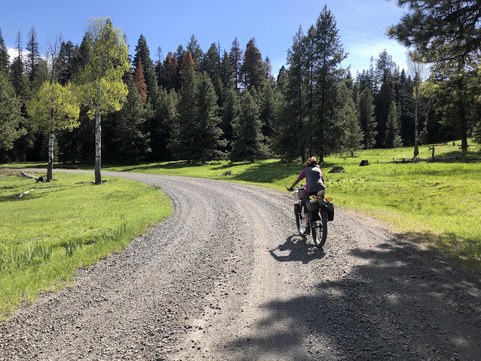
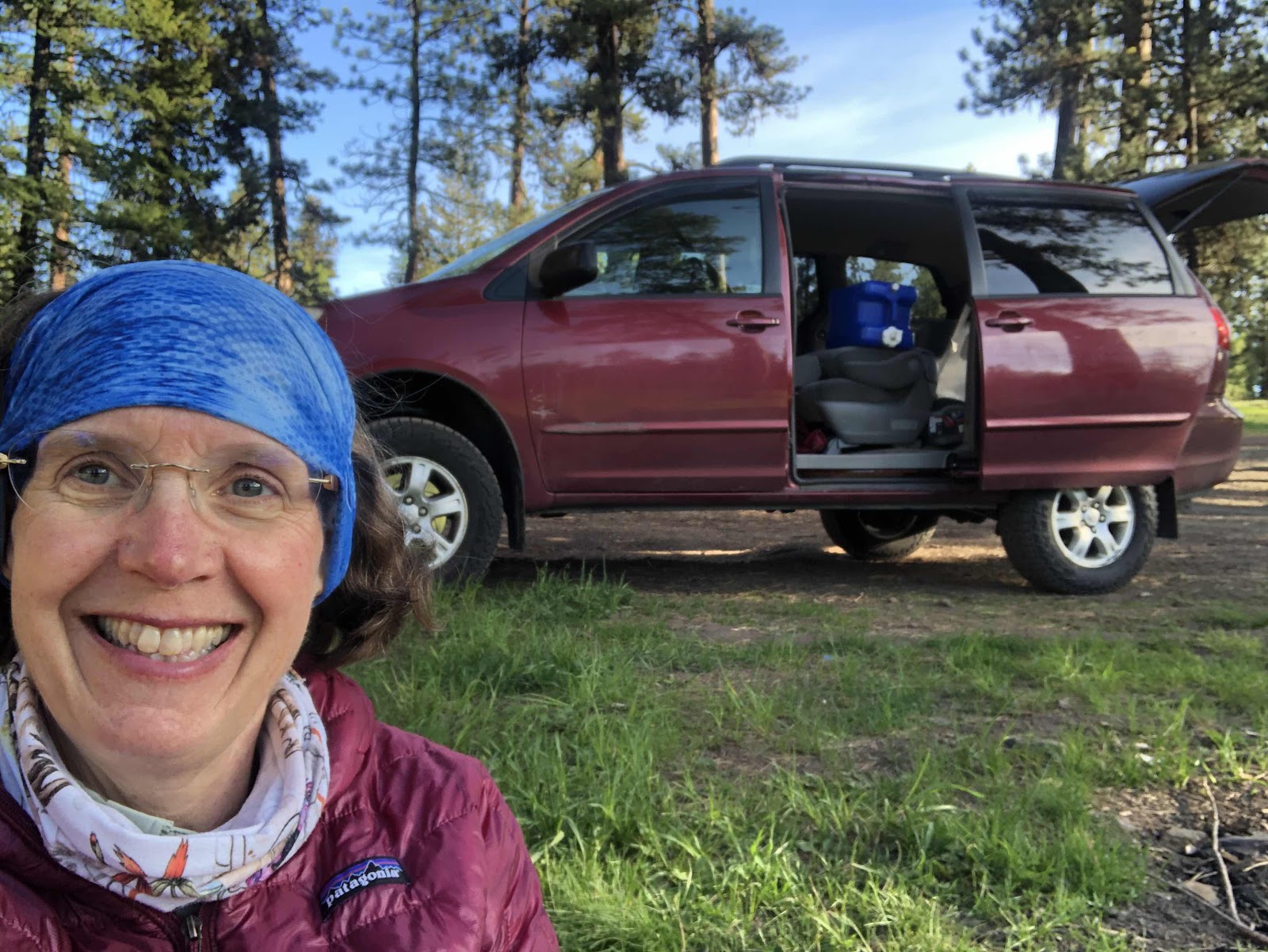
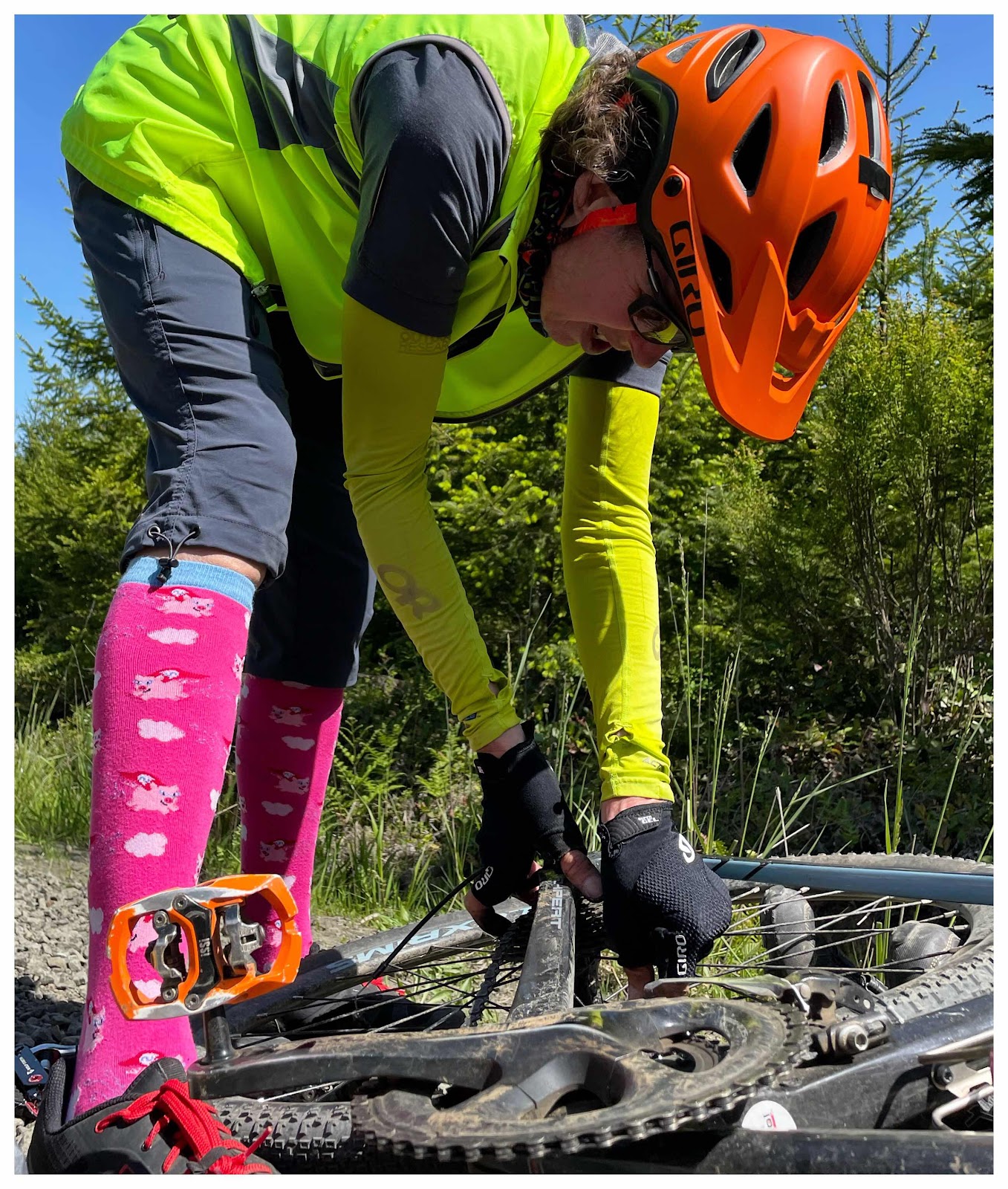
Getting ready to ride. 

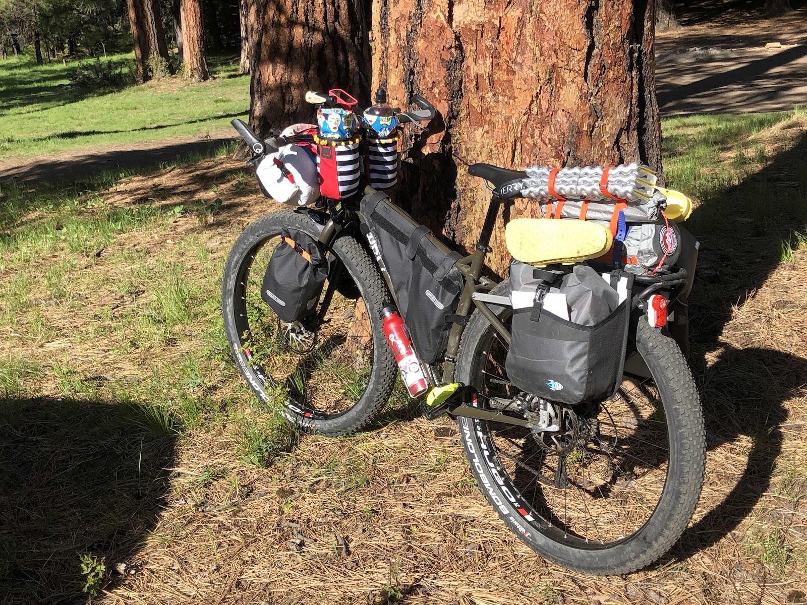
Grayson ready to roll. 

It was 37 miles to Johnston Ridge. It was raining, and continued to rain, on more than off, the whole day. However, it wasn’t really cold. 

Curtis, being pretty speedy, took off. We agreed to regroup at the Forest Education Center (18 miles in). 
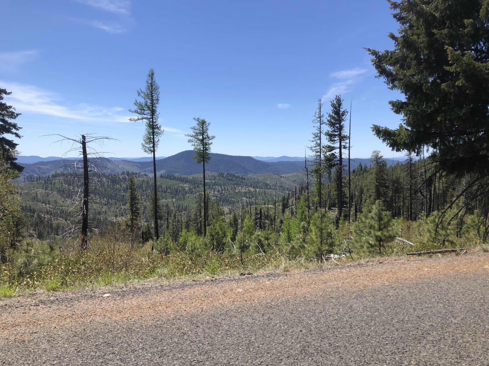
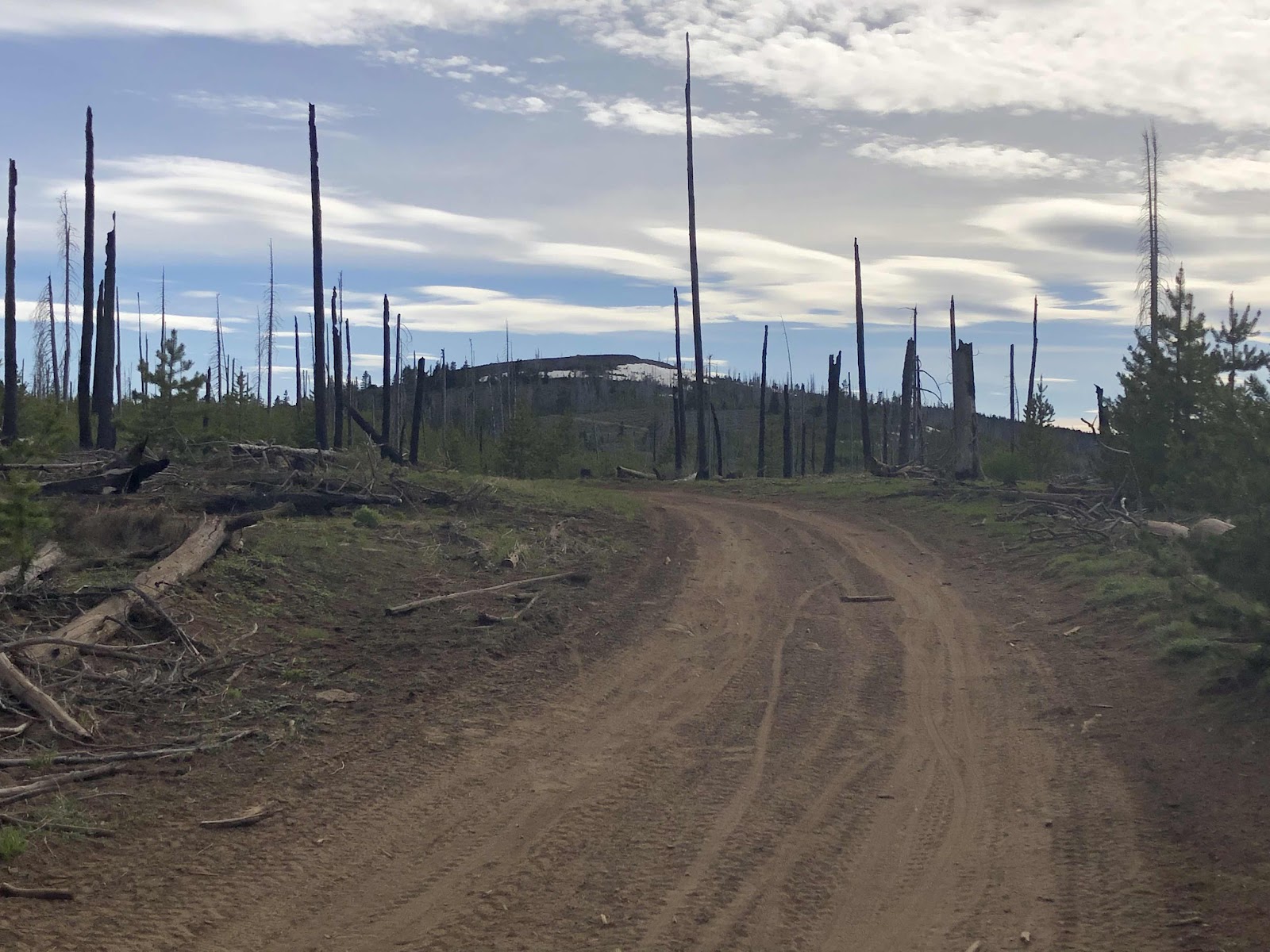
Low lying clouds. 

Curtis got to the FEC about 30 minutes ahead of me (he got there just as they were opening at 10:00). But, that was good because he was able to charge his Garmin for awhile. I arrived and ate a snack while we waited for Bethany. 

Post rest break/regroup, we climbed the remaining distance to Elk Rock. Here’s the view. 

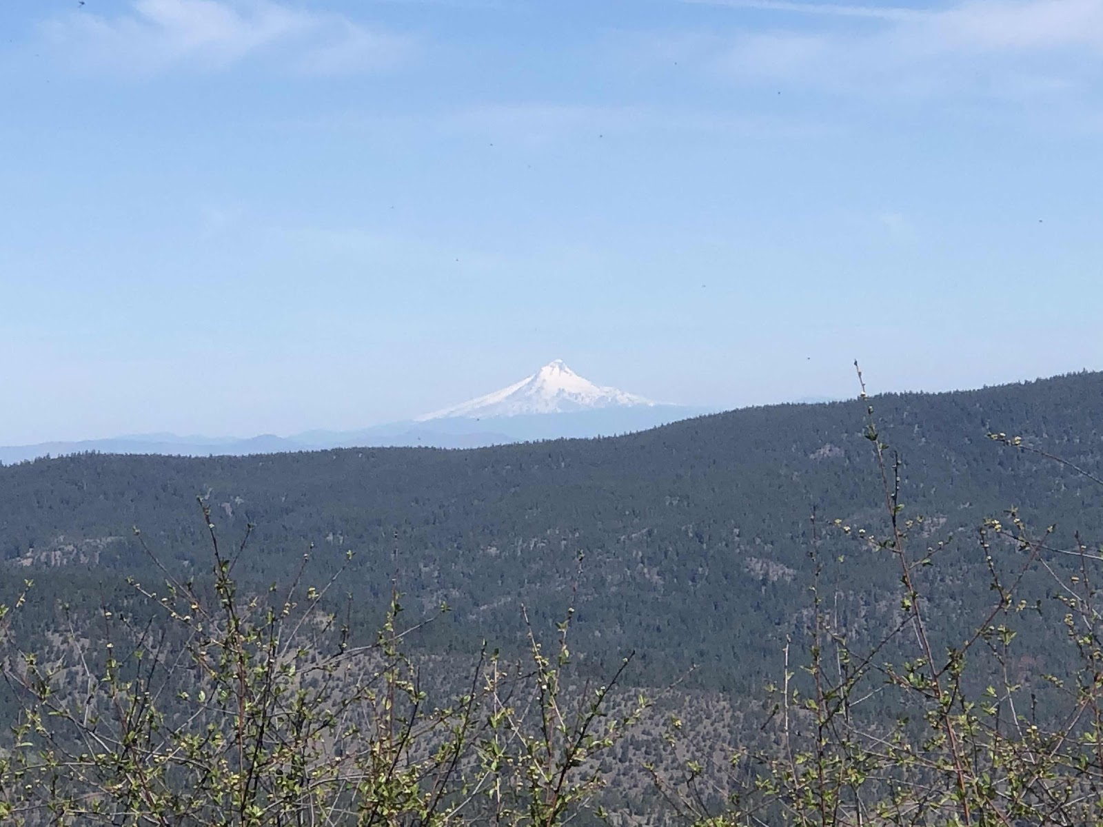
Yeah...not so much. On a clear day, this is one of the better views of St Helens. 

On the descent down to Coldwater my hands got pretty cold, but the rest of me was fine. The best weather of the day was down by Coldwater Lake. There was even some blue sky. Starting the climb up to Johnston Ridge, I even took my Shake Dry jacket off...until it started to rain again. 


Sun down there!

Snow up there. 

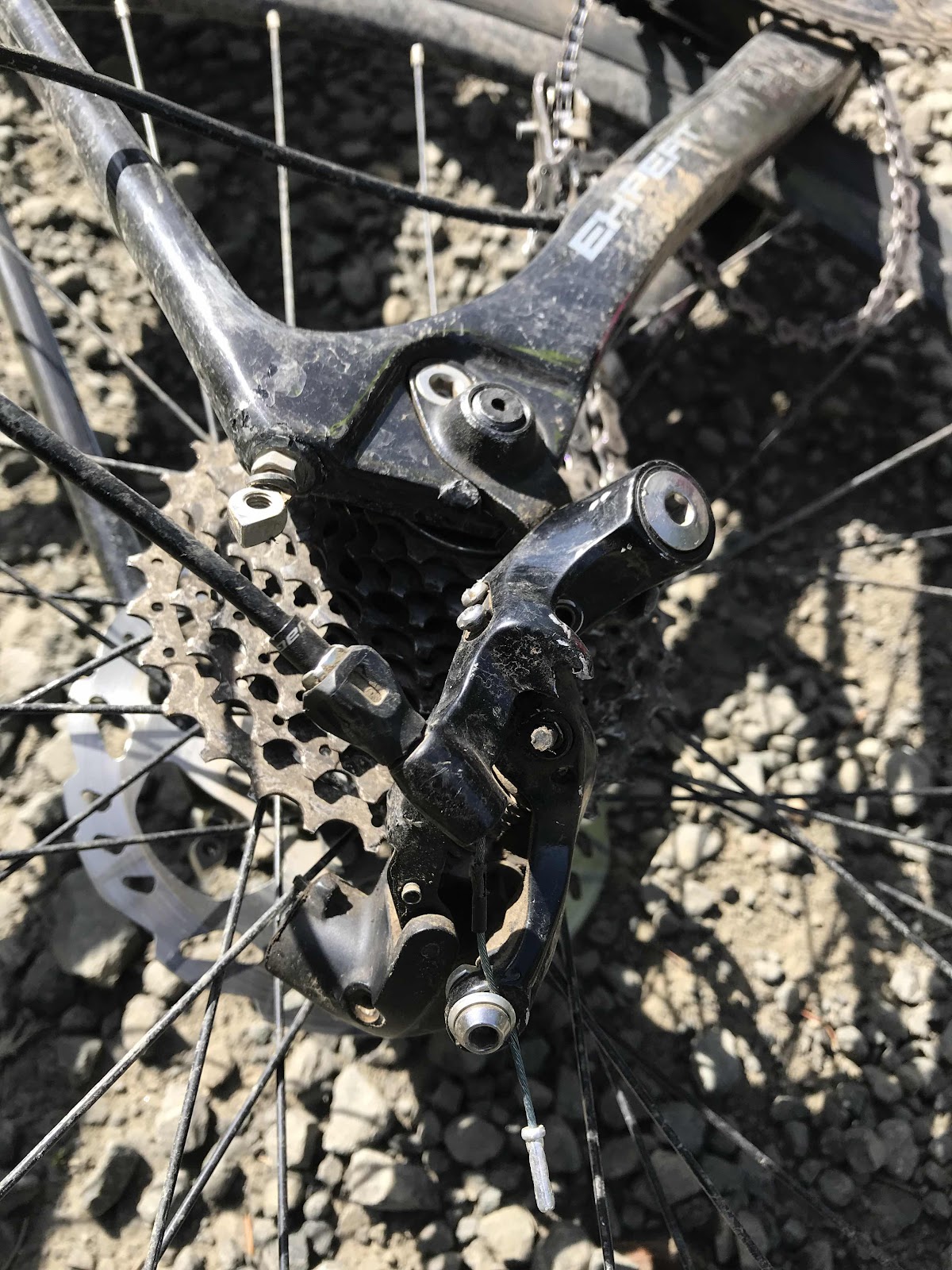
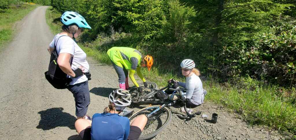
As I was riding along, I looked ahead and could see Curtis on the other side of the road. Ruh roh, he was fixing a flat. While he was working on the tire, I took the opportunity to eat a snack. He got the old tube out, found the tiny very sharp rock that was imbedded in his tire, and put the new tube in. Only problem was the valve on the new tube wasn’t quite long enough (he has pretty deep dish rims). First he tried his little electric pump. Nope, couldn’t get enough of a bite on the valve. Next he tried CO2...same result. Then he tried my pump. He got a little air to go in, but couldn’t keep it steady enough (even with me holding the wheel). Next he tried to patch the punctured tube. Turns out those sticky patches (the kind you just rough up the tube, and stick the patch on without rubber cement) don’t stick on a wet tube. We tried again to get the pump to stay on, this time with me pushing on the tire to push the valve as far as possible. It was the same problem of holding the pump steady enough. Then he tried the electric pump, again with me pushing the valve as much as possible. This time we got it to work! 

We rode the 1 1/2 miles to Johnston Ridge. Of course, Bethany had been there for awhile. Curtis decided he should take the opportunity of a dry, undercover spot to patch the tube. Bethany opted to head on down, knowing we would have to do the climb out of Coldwater. 

Just to prove we were there...even though you can see nothing. 

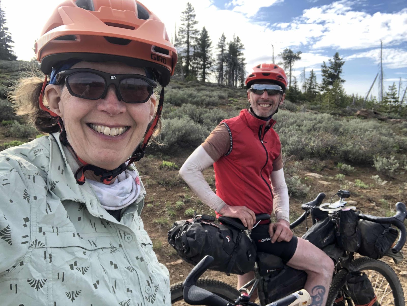
Both of us wearing our Gore Shake Dry jackets. 

For the 6 1/2 mile descent back to Coldwater, I put my lobster gloves on (who knew I’d still be wearing lobster gloves at the end of May???). That was a good thing. My hands stayed nice and warm. 

Just as I was beginning the climb out of Coldwater, who should I come upon...

Whoops, now Bethany has a flat. So much for her head start out of Coldwater. 

At the spot where the road loops around, and goes back over the road, we regrouped. I got this photo of Bethany. 

Taken from the overpass. I did a video too (I’ll post that on Facebook).

We regrouped once again at the Forest Education Center. From there it was 18 miles of mostly downhill, with just enough uphill to keep us warm, to get back to the car. 

Curtis and I arrived back at the car, got changed, and were waiting for Bethany. After awhile, we decided to go get her. About that time, I took my phone off airplane and saw a text from her saying she had another flat, and was now walking. 

We got to her (about 4 miles up the road), and found out that she had had a second flat, and put in her last tube. Then shortly after, the tire went flat again. She had no more tubes. 

She got changed, and we loaded her bike onto the rack. We were going to eat at the Riverview Restaurant, but by the time we got back there, it had just closed. Instead we had dinner at Rib Eye (Ramblin Jacks) just off I-5 at the Napavine exit. It was a well deserved delicious end to the day. My Garmin said I rode 74.9 miles and 7034ft of elevation gain. Yes, most people would not have chosen to ride up Mt St Helens on a day like today, but it was still a great day made epic by weather and flat tires!


Saturday, May 15, 2021

“Beware the Ides of May”, or...Mechanical Skills Come in Handy Sometimes

Today’s Gravel Ramble Ride deserves a blog post for a couple of reasons. 

I know the saying is, “Beware the Ides of March”, but it could have just as easily been “Beware the Ides of May”.

Bethany, Beth, Renee, Catherine and I started at the Mima Trailhead. As we were making our way on E9000, we all stopped to let some air out of our tires. I let air out of my front tire, but then couldn’t get the presta valve core to screw closed. It was stuck. As I kept trying, it got to where too much air had been let out. I pumped up the tire, then tried again. It still wouldn’t close. I was thinking I was going to have to put a new valve core in (I carry them now). I tried once more, and it came unstuck. Whew! 

About 6 miles into the ride, we were heading up the E-Line when I heard the most awful noise. I stopped, looked back, and said, “What was THAT?!” Bethany’s rear derailleur had chosen that moment to break completely apart throwing the chain between the spokes and cassette. The cage was completely separated from the derailleur (bolt completely sheared off). The derailleur hanger itself was intact. 

Bethany said her ride was over for today. She would be walking back. I knew she’d have to go back, but she wouldn’t have to walk...not if I could help it. 

Hard to tell, unless you know what you are looking at, but the derailleur cage is not where it should be, and the chain is a twisted mess. 

How about those flying pig pink socks!!!

First, I unbolted the derailleur from the hanger. Then I took the derailleur cage apart to get it off the chain. I managed to free the chain from the now bent spoke, that it had been wedged into. I didn’t have cable cutters so I couldn’t totally remove the derailleur from the bike. Eventually, I just taped it to the frame. Next I had to remove the bent links from the chain. Then with a master link, I put the chain back together thus turning the drivetrain into a single speed. The chain length wasn’t perfect. I should have removed a couple more links to find a gear where the chain would be tight enough. Fortunately, it was almost entirely downhill or flat back to the parking lot. Beth had a time crunch, so she offered to go back with Bethany. I had ridden to the start in Bethany’s car, but she said she would wait. I told her if she got tired of waiting, I could catch a ride home with either Catherine or Renee. 

So, Bethany and Beth went back, and Renee, Catherine, and  I continued on. Not too much further, Renee rolled up to Catherine and I with a squeaky rear brake. The rotor had probably just warped a bit while her bike was laying in the sun (did I mention it was an absolutely beautiful day?!). I adjusted her brake caliper, and we were on our way. 

There’s not a ton of views on this route, so I didn’t take any photos. The photos above were taken by Bethany, Catherine, and Beth. 

We pedaled our way along E5000, and back to the E-Line. We were having a good time enjoying the sunshine. 

After the major climbing was over on the E-Line, we began the mostly descending part. Renee was ahead of me. The road was descending and curving. Going around one of the sharper curves, Renee wiped out. She had gotten into some loose gravel on the side due to too much speed, and trying to slow down. She ended up in the ditch with her feet up above her head. Fortunately, she wasn’t badly injured. Additionally,  all three of us are (or in my case...was) nurses. Catherine did a thorough check, asking Renee to raise her arms, palpating for soreness, and if her head was hurting. Once Renee sat down for a bit, and drank some water, she said she was okay.  Her bike was fine. Her helmet was intact with no dents. Renee was lucky she landed in the ditch. It was much softer than the hard packed dirt and gravel. 

With Renee riding cautiously down the remaining hills, we made it to the paved D-Line. I had routed us down one more gravel section, but we decided to just stick to the D-Line. 

As we were coming down the final part of the D-Line, we met Bethany driving up. She turned around and met us at the bottom. We told her what happened. She asked if Renee wanted a ride back to her car, but Renee decided to finish the ride on her bike. Tough cookie!

So, yes, it was a beautiful day, but whew...what a day!!! I am glad I have the mechanical skills that I have. They come in handy sometimes!