Day 1
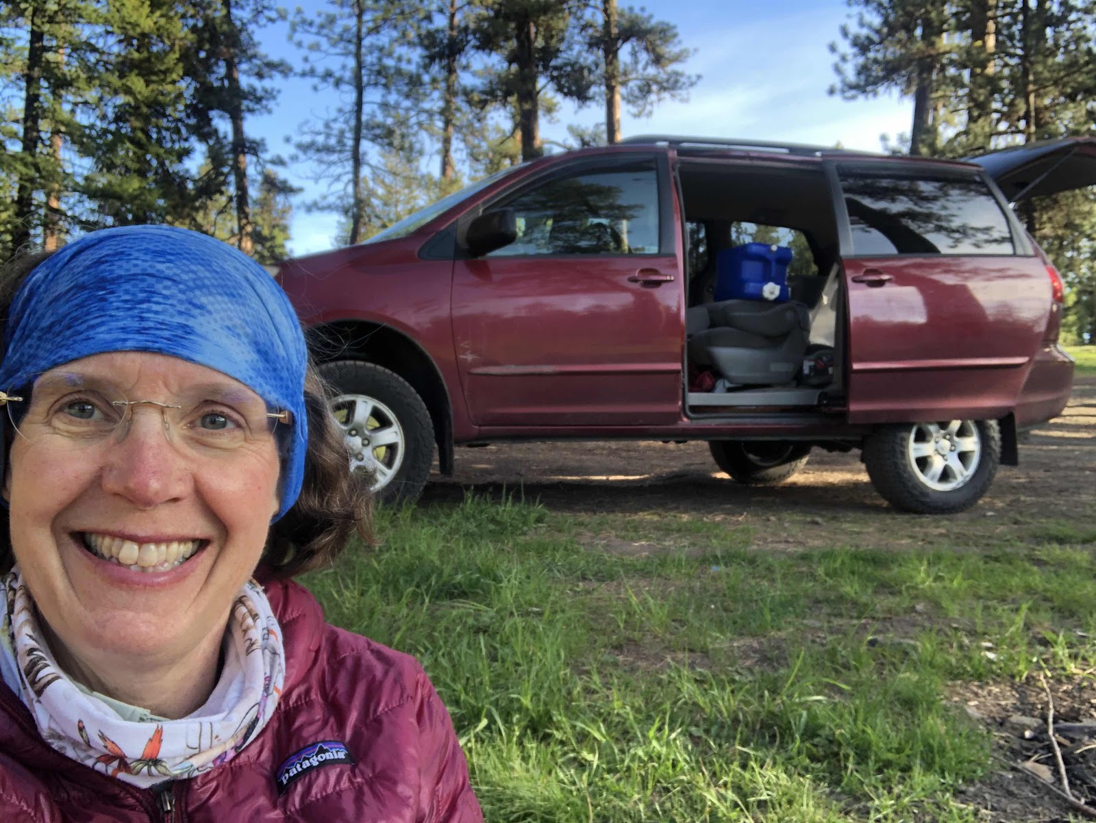
Handy to have the van (and 7 gallons of water).
Day 2
It was a chilly night last night, but I was plenty warm. Derik said he was a little chilly, but did okay (wished he’d grabbed his down booties out of the van). At about 3:00am, I heard a really strange sound. It sounded like someone banging two hollow pvc pipes together. In the morning when I asked Derik about it, we both thought maybe it was elk calling.
The day dawned with blue sky and sunshine, but still quite chilly. I don’t think it helped that we were up at the top of McKay Saddle. After we packed everything up, we had a very long chilly downhill.
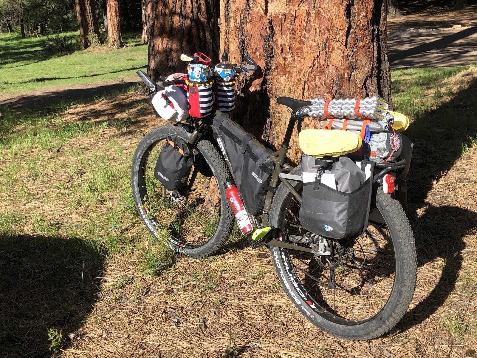
MC ready to go.

Derik was telling me where he and Amy had camped last year when they did a similar version of this route.
We had to do a number of stream crossings. I made it across all but one without putting my foot down. That doesn’t mean I didn’t get my feet wet. Some of the crossing were kinda foot-soaking deep.
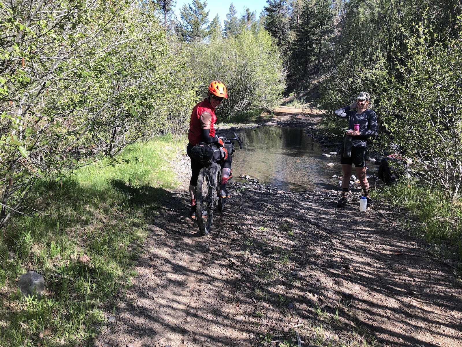
I think this was the second or third one. We also met 6 other cyclists today (3 separate couples). One couple was doing a different route called “The Big Lonely”. They were going the opposite direction from us.
Eventually, we came into the town of Ashwood. Calling it a “town” may be a bit of an exaggeration. However, it did have one very cool feature.
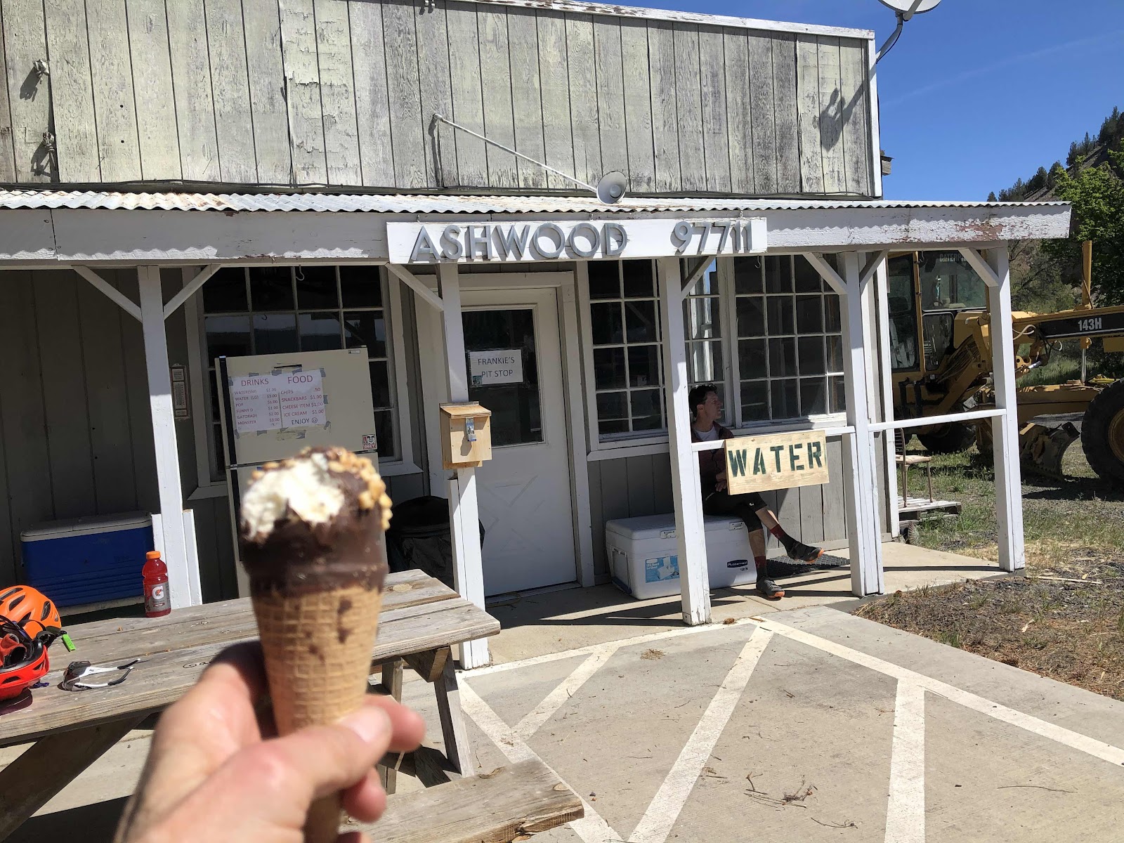
The gentleman who lives next door to the old post Office keeps a refrigerator, freezer, and coolers stocked with an assortment of drinks, ice cream, chips, and a variety of snacks. I had the above drumstick, and a Gatorade. Derik had a Fat Boy ice cream sandwich and also a Gatorade. Ashwood is at the bottom of a 5.6 mile climb, so it was great to have a snack and drink before starting up. They also have restrooms (vault toilets) available across the street behind the grange.
After the nice refreshing snack and break, we started the climb. It was long, but never super steep. 
Had to stop and take a photo of this interesting cloud formation.

I wasn’t sure if I’d managed to get Derik in the photo, but he’s back there!
Had to stop and take a photo of this interesting cloud formation.
I wasn’t sure if I’d managed to get Derik in the photo, but he’s back there!
By the time we finished the climb, it was lunchtime (those ice creams were long gone). We just sat on the side of the road in some shade, and ate our lunch.
We had more downs followed by more ups. There are 14 climbs that trigger the climb profile on my Garmin for the whole route. I think we finished 5 of them today. Some are long, like the 5.6 mile one, and some are just a mile or so.
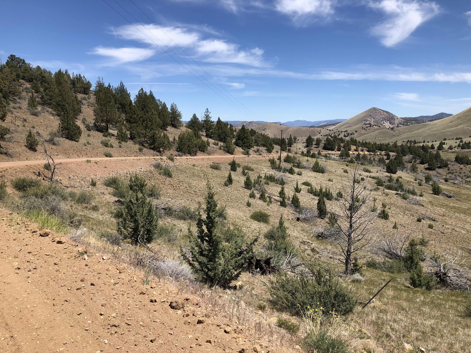
One of the longer downs.
We came to a little turnoff that went out to a view. It was very strange. There were tons of old rusty tin cans. I mean TONS!
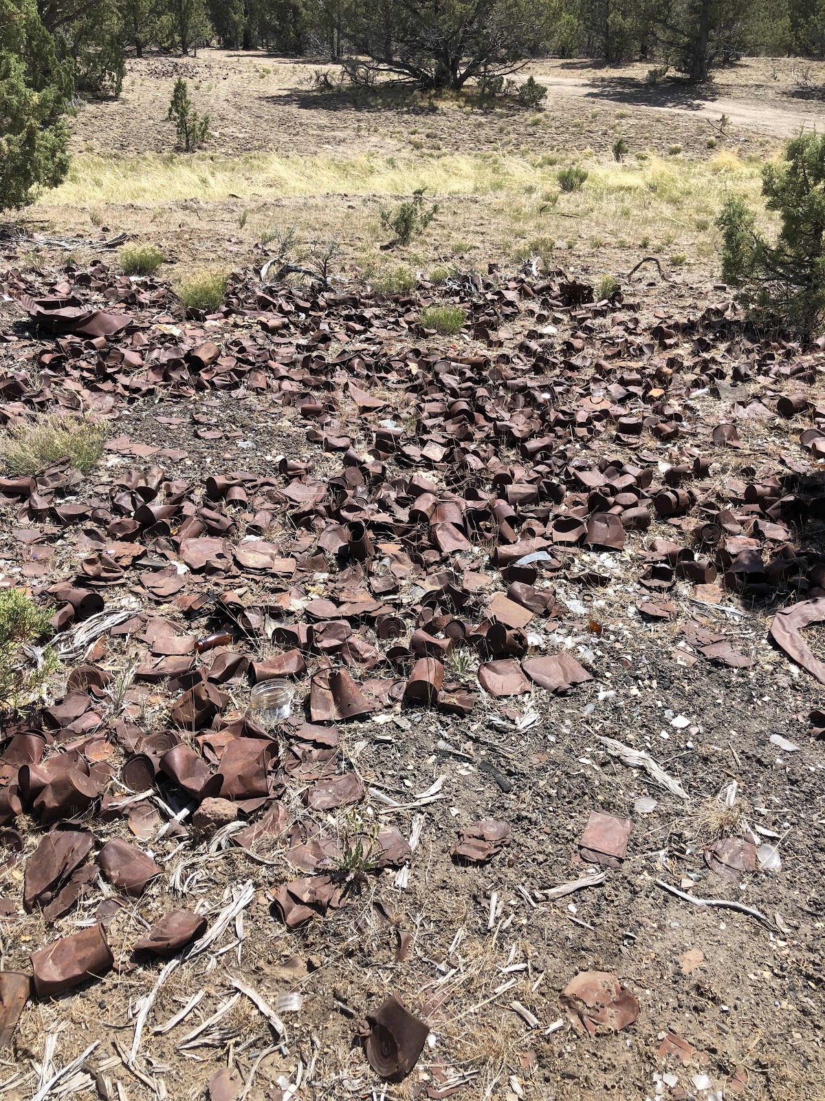
This is only a small portion of them. How did they get there? Why are they there???
We talked to some people who were also at the viewpoint. When I was coming g up the hill, they drove by, and the woman said out the window, “ Are you having fun yet?” I replied, “Most definitely!”
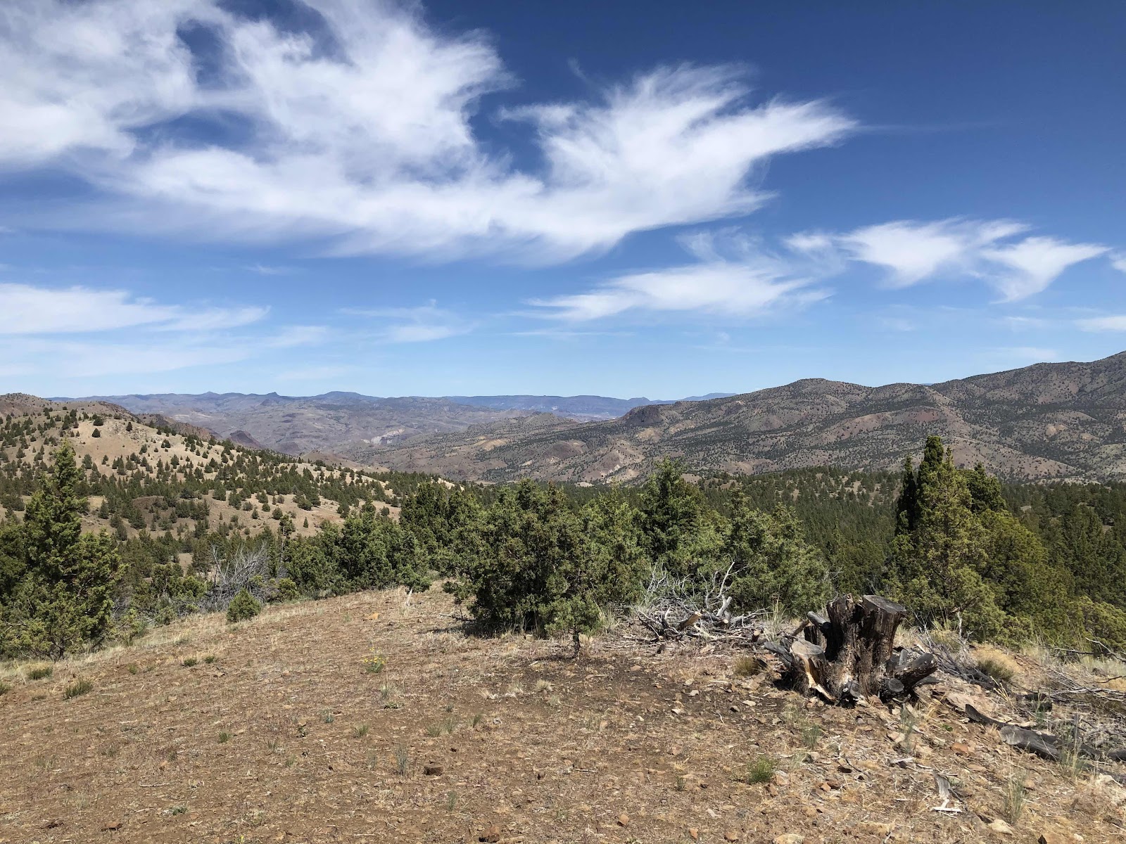
A pretty good vista.

See the road that cuts across the center of the photo? That’s where we were going. Heading down to the John Day River.
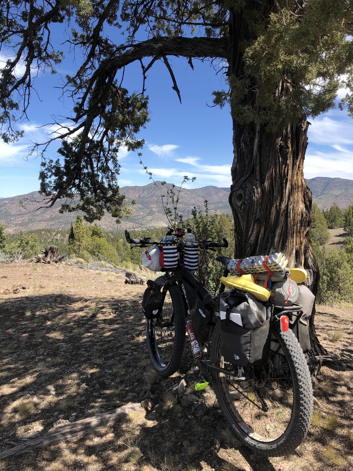
MC enjoying the view.

Interesting “eye” in the pine.
We went down forever. Finally, we got this great view of the John Day.

Still quite always down there.
Since it was still just early afternoon, we decided to push on to a campsite that Derik knew about on BLM land. The place I had thought we might stay at was pretty full anyway. After all, it is Memorial Day weekend.
I was definitely slowing down on the hills, and ready to be done with the day. We made it to the campsite after 55 miles, and almost 4000 feet of elevation gain (but a whole bunch of elevation loss too).
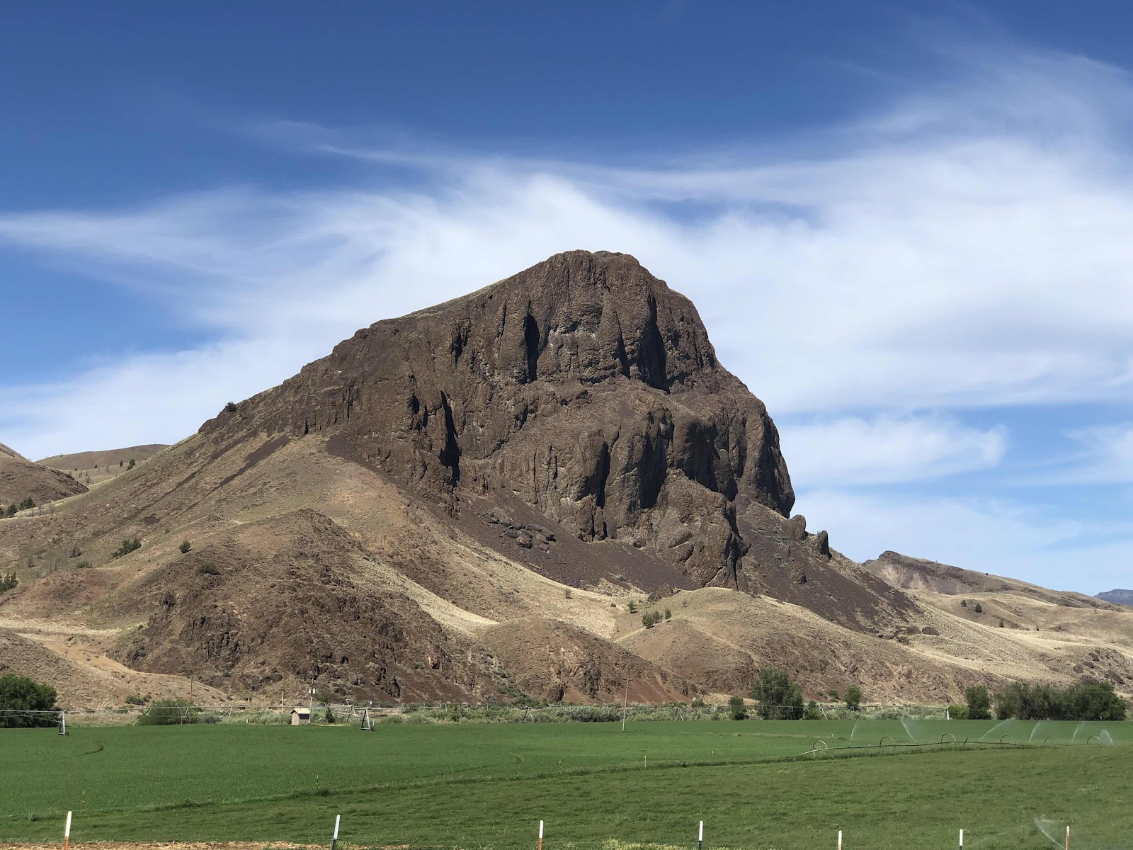
There’s a nice butte...or whatever one calls a giant rock formation like that.

MC parked for the day.

My humble abode all set up amongst the sage brush, cow pies, and a dead animal carcass (don’t worry, I didn’t take a photo of it). We have a nice flowing creek to filter water from, and listen to through the night.
Tomorrow we are attempting another 50 mile day. This one will be harder as it is much more climbing.
Goodnight from beside some creek not far from the John Day River.
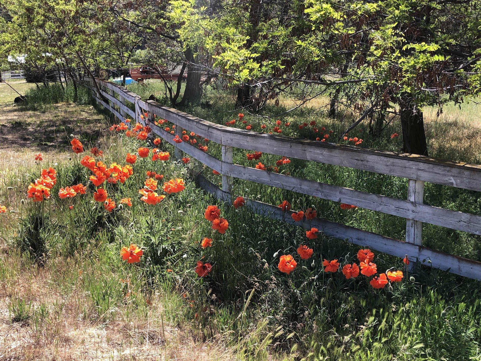
One parting shot of some pretty poppies.
No comments:
Post a Comment