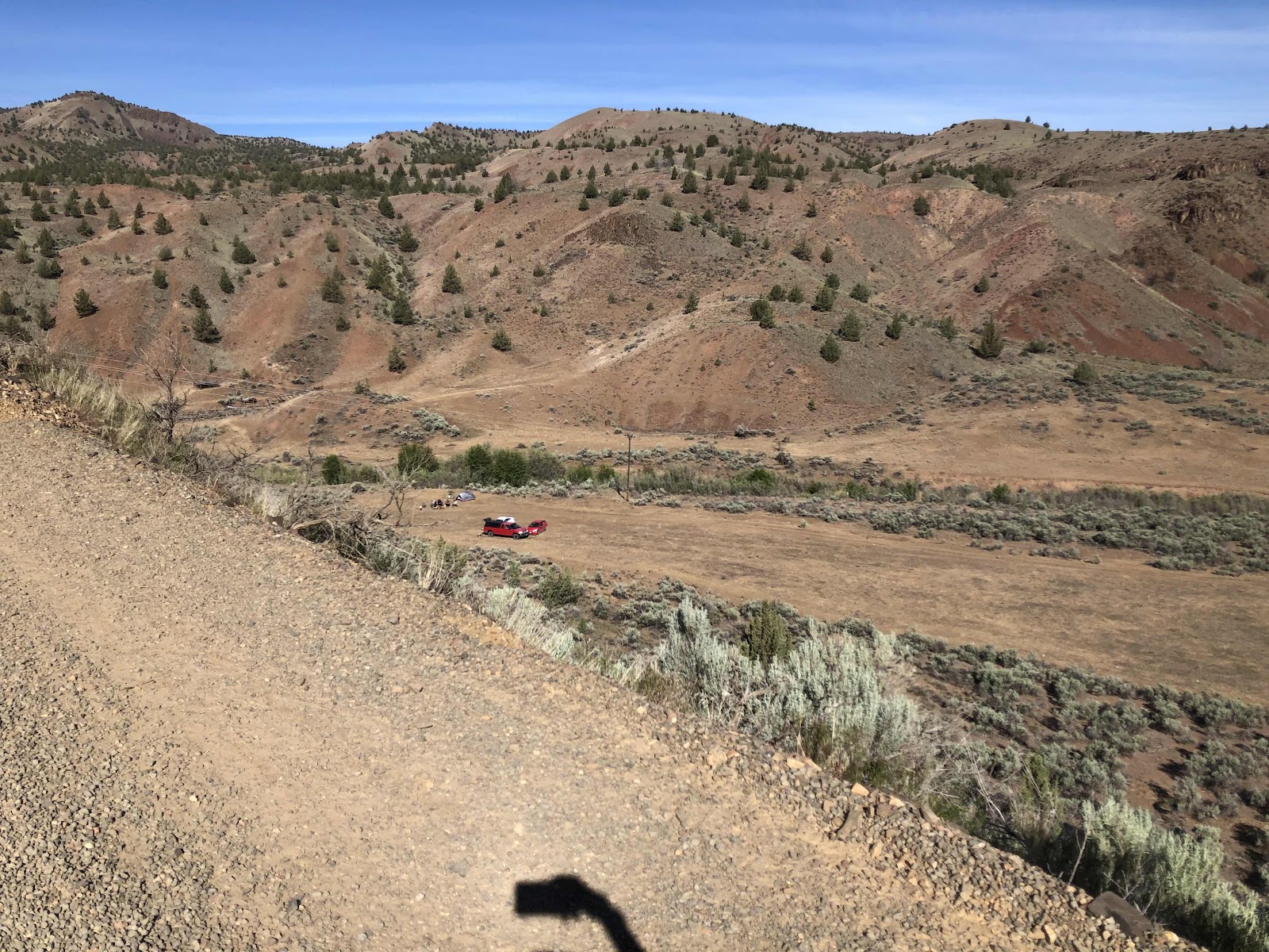
We had camped down beyond those people. Already climbing. We were actually finishing the 7th climb.
The descent took us back to in view of the John Day.

Going down. Hey Derik, watch out for that car!
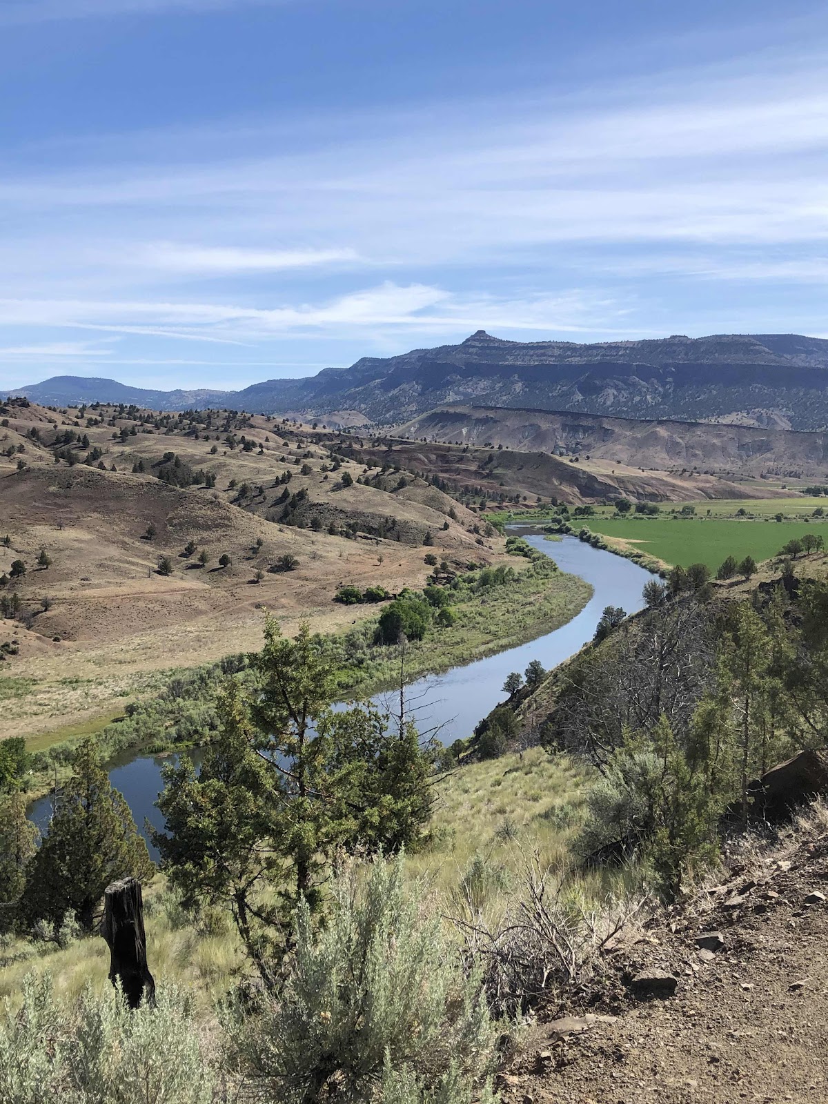
There be the John Day!
I was pretty sure we had a substantial amount of pavement today. I was right. It also included the second (8th of the trip to initiate the climb profile) climb. It was a long one.
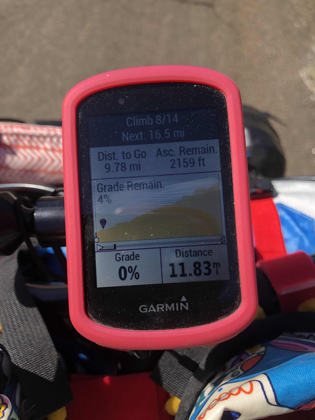
9.78 miles, and 2159 feet.
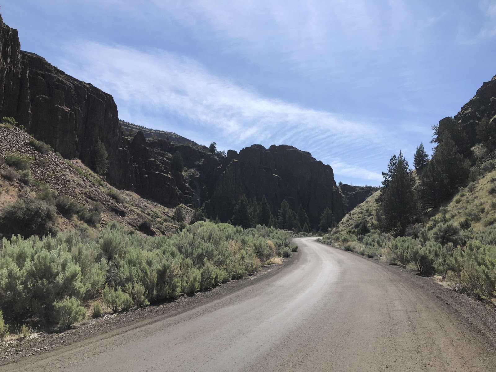
Going through the walls of rock.
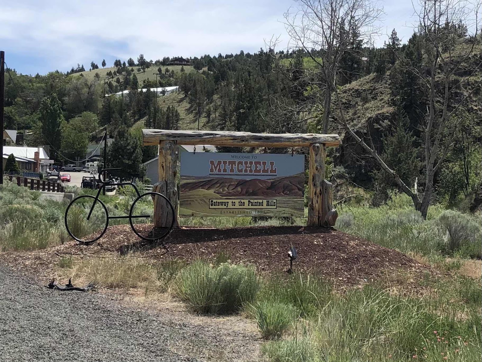
It was long, and mostly in the sun, but never terribly steep. It took quite awhile. We popped out onto a highway, but not Hwy 26. The climb was complete after a few miles on the highway. Then we did some up and down to Hwy 26, just at the outskirts of Mitchell. We rode into town with bakery on our minds. When we got there, the only thing that was left was 1 cranberry bar. It was pretty big. Of course we bought it, and split it between us.
It was probably a good thing we didn’t overload on pastries, because right out of Mitchell, we started the longest climb of the route...18.1 miles.
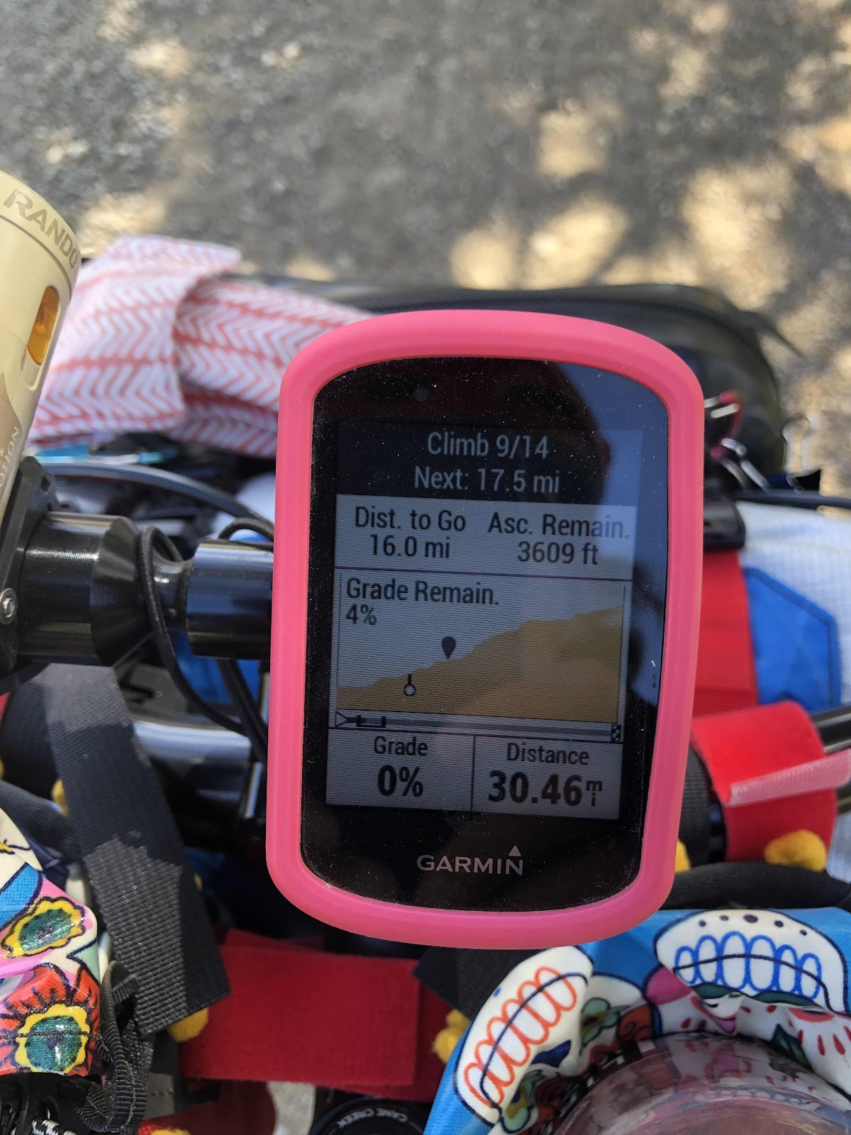
This was after 2 miles. I started out taking a break every two miles. That lasted for the first 4 miles. Then I was taking a break after 1.5 miles. Then the climb profile showed some green (the easiest grade). I was able to coast a bit and therefore cover a bit more distance between breaks.
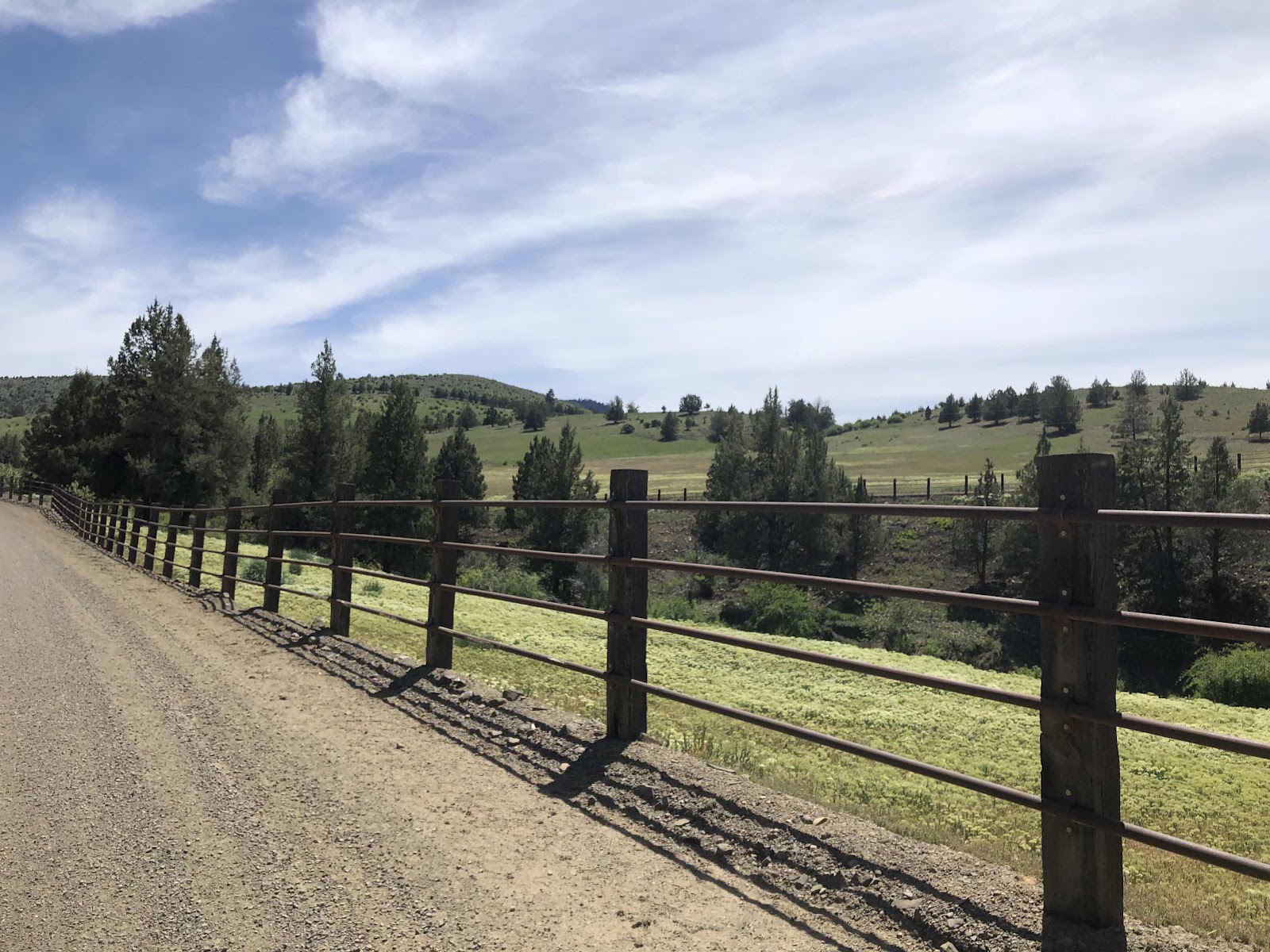
The first part was quite sunny, but so much green still.
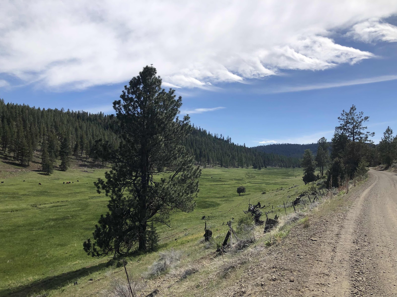
More greenness.
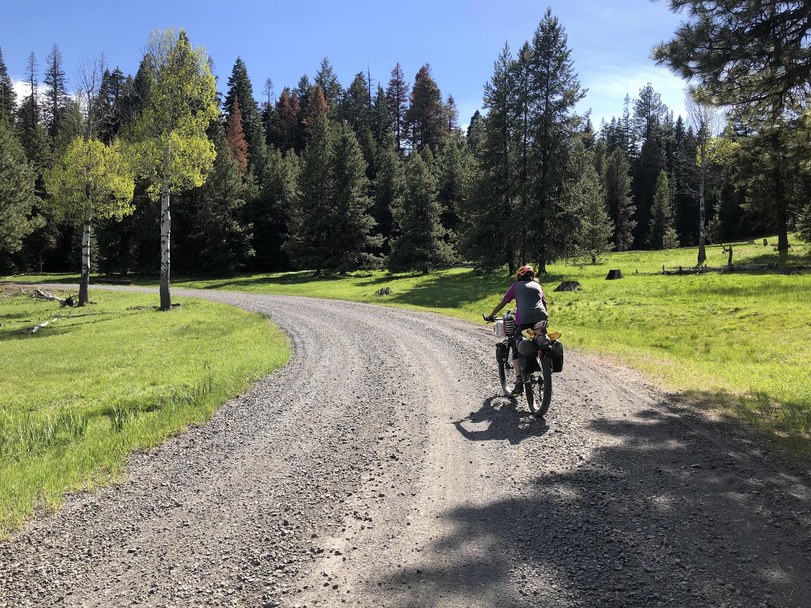
Loved these couple of Aspen trees. Gave my phone to Derik to take a photo of me riding.
The climb was going okay. I mean, don’t get me wrong, I was definitely getting tired (particularly my butt) but it was a good gravel road. Then we turned...
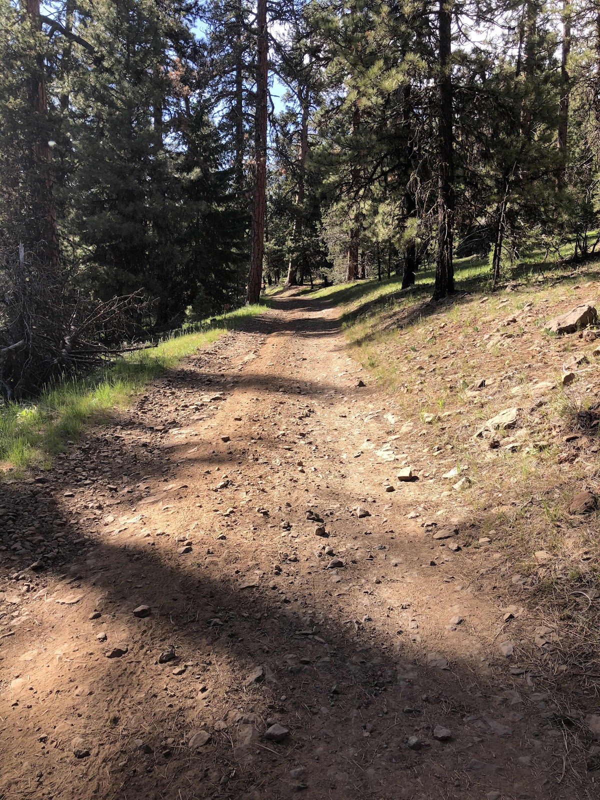
This was a bit more difficult.

Yeah...I walked this...and more.
We finally reached the top of the climb.
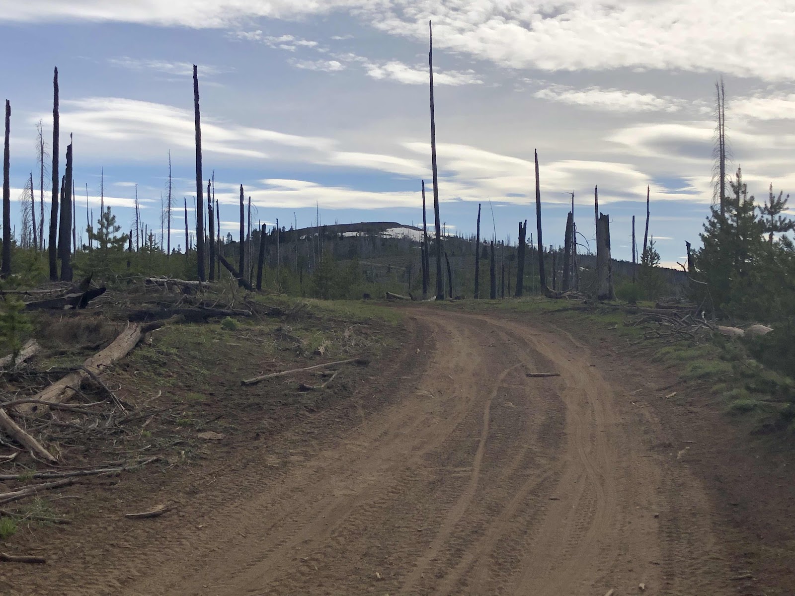
Still going up.

Snow!
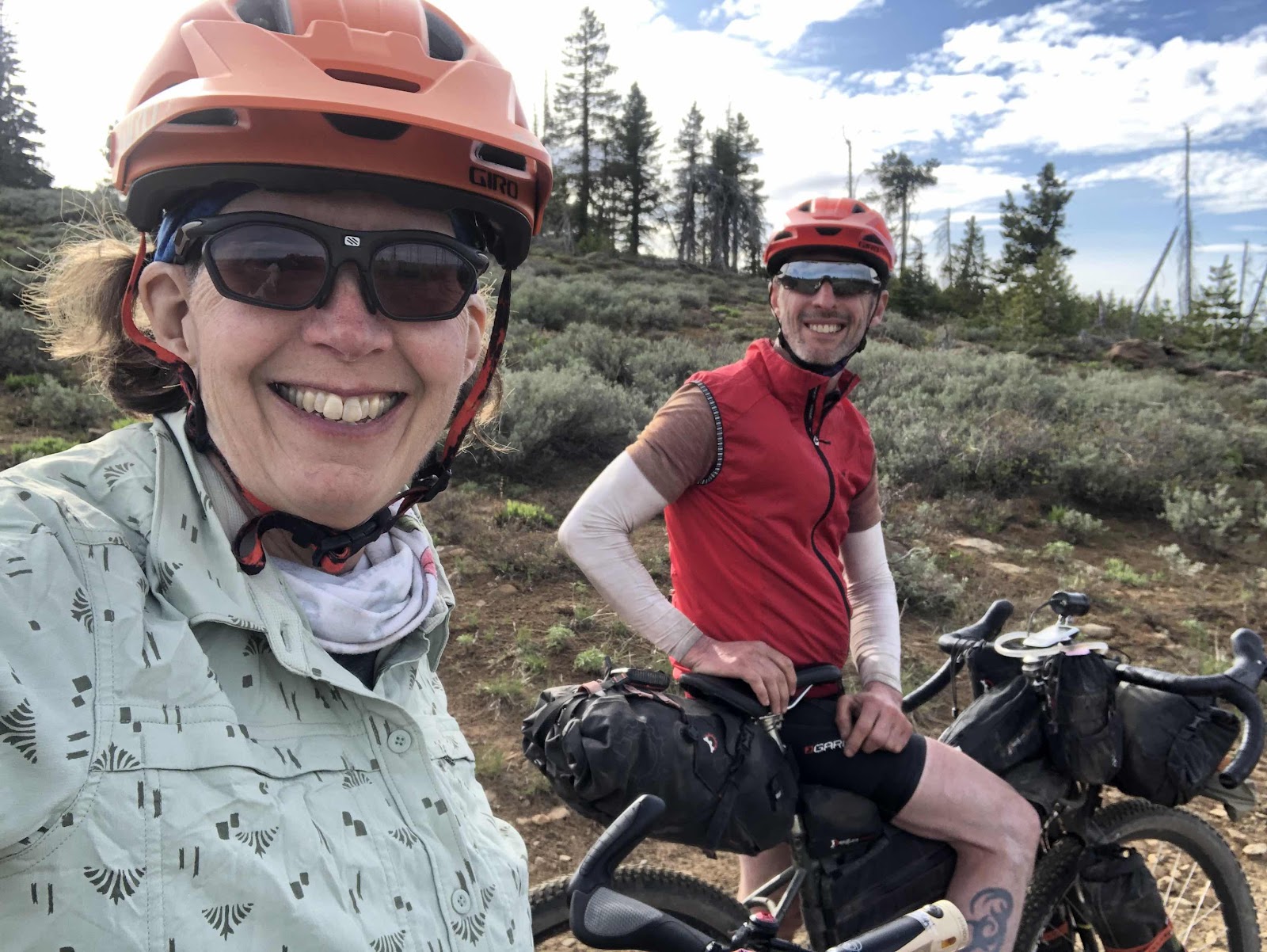
The top at last! We put a layer on for the descent.
Fortunately, the descent didn’t have too much rocky badness. There was this part.

I went around it (there was a path to the right).
We thought we were going to be doing about 50 miles for the day. It ended up being 56. There was one more easy climb (#10), then down to Walton Lake Campground. The campground was pretty full, but we found a site and called it a day...an epic day. 56 miles and 7200ft of elevation.

Goodnight.
No comments:
Post a Comment