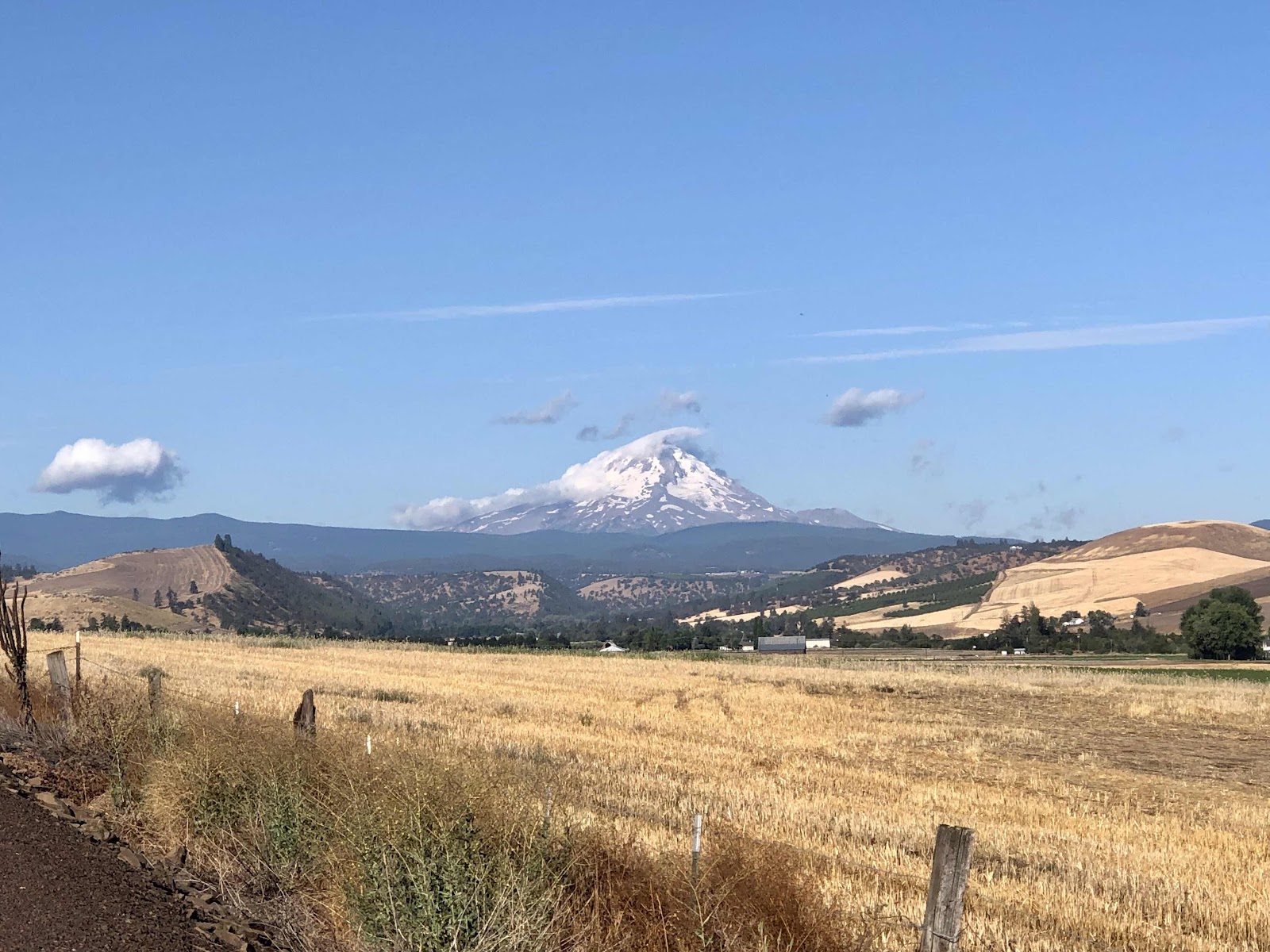
Nice morning view of Mt. Hood.
We started out the day on the same course as last year’s Gorge Gravel Grinder. It deviated a bit, but would come back to the course again. One part that was kind of funny was that we did a portion of the “Chicken Out” route (it was an option to avoid a rougher part…we had done the rougher part in the race).
We made it to Friend. There is the old schoolhouse, which is now also the Community Center. Inside there’s a chalkboard that people sign, or leave messages.

Here we also met Adam, Jason, and Vinnie. They were out for three days, doing a similar route, but started in Maupin.

Inside the schoolhouse.
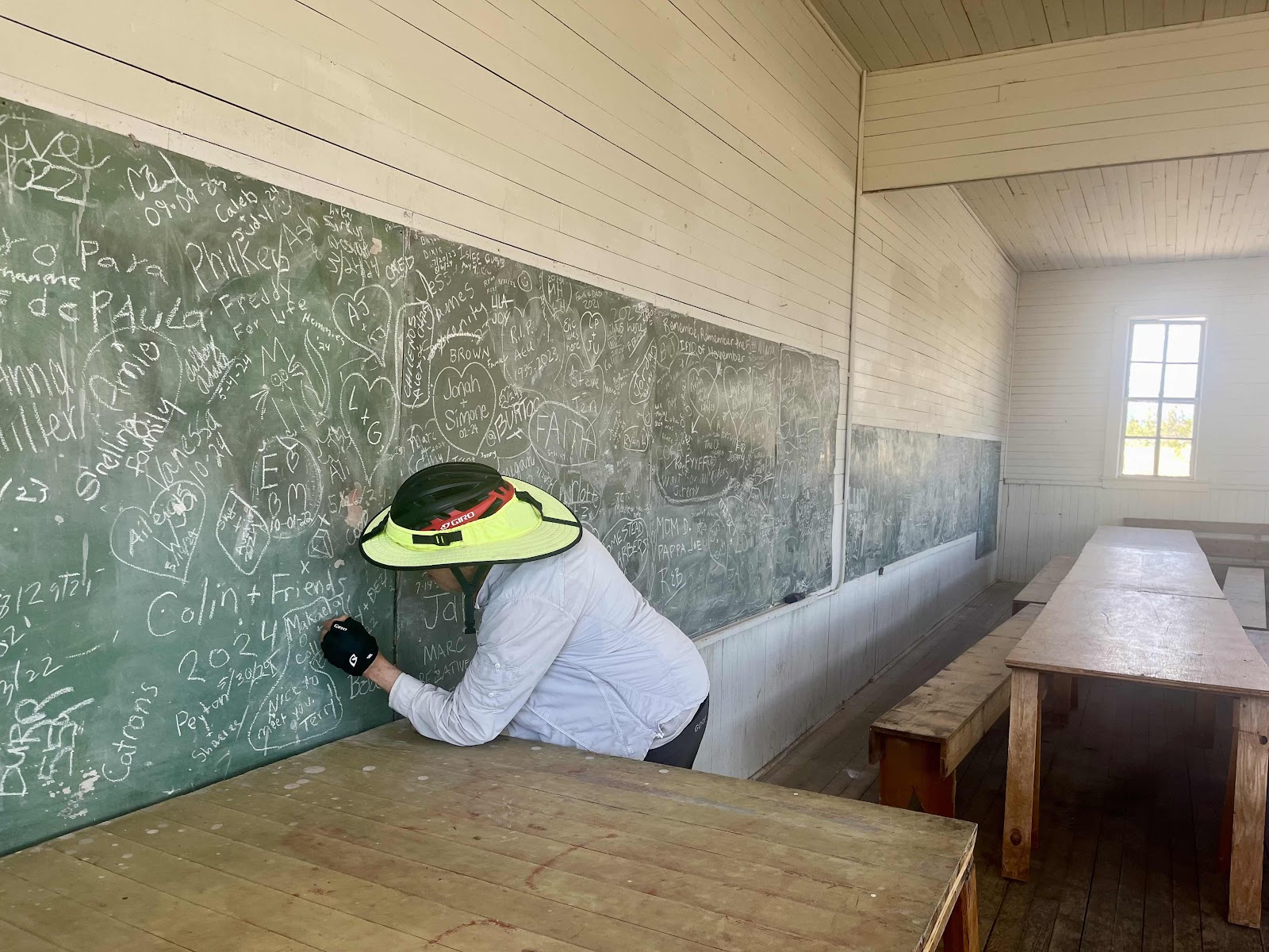
Me adding an egg and a chicken. Why? Because we had met a guy named Terry who has chickens (gets about 170 eggs a day). He’s the one who told us we had to sign the chalkboard.

See the egg and chicken?

Info about the school. There’s not much a town there anymore. Just a few houses.
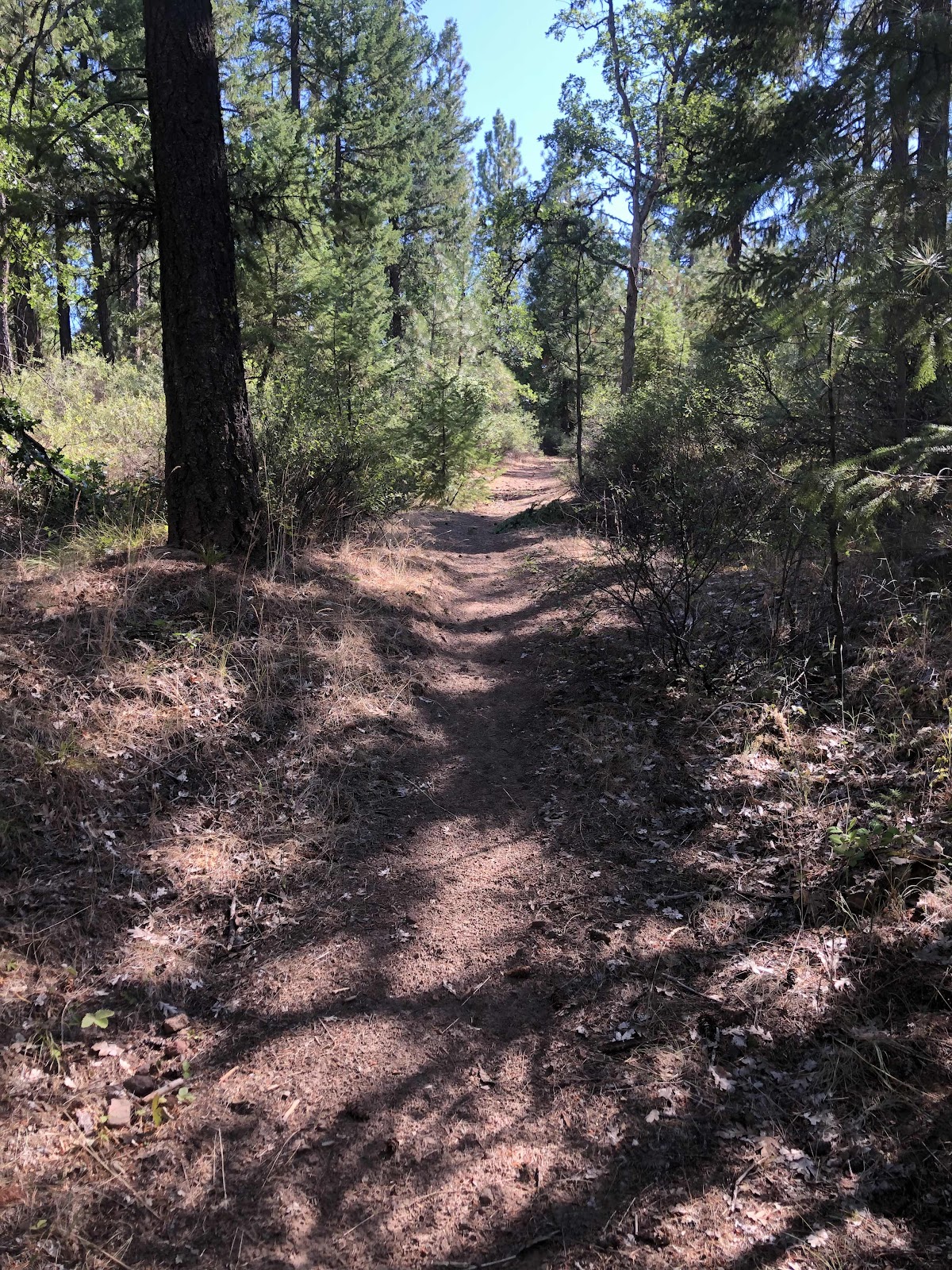
Our next turn was finally onto Forest Road 27. All the other roads had been country roads or farm roads. Finally we were getting into the Forest. The road was actually paved.
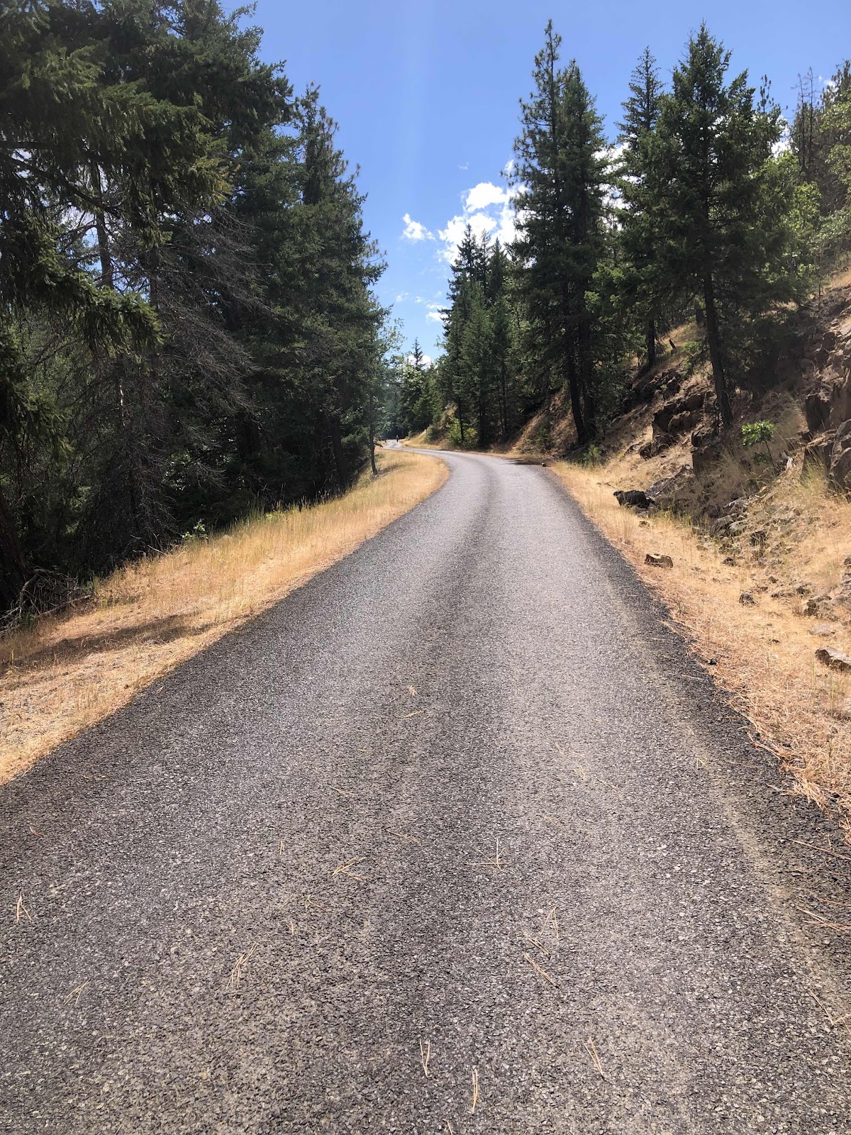
The Forest.
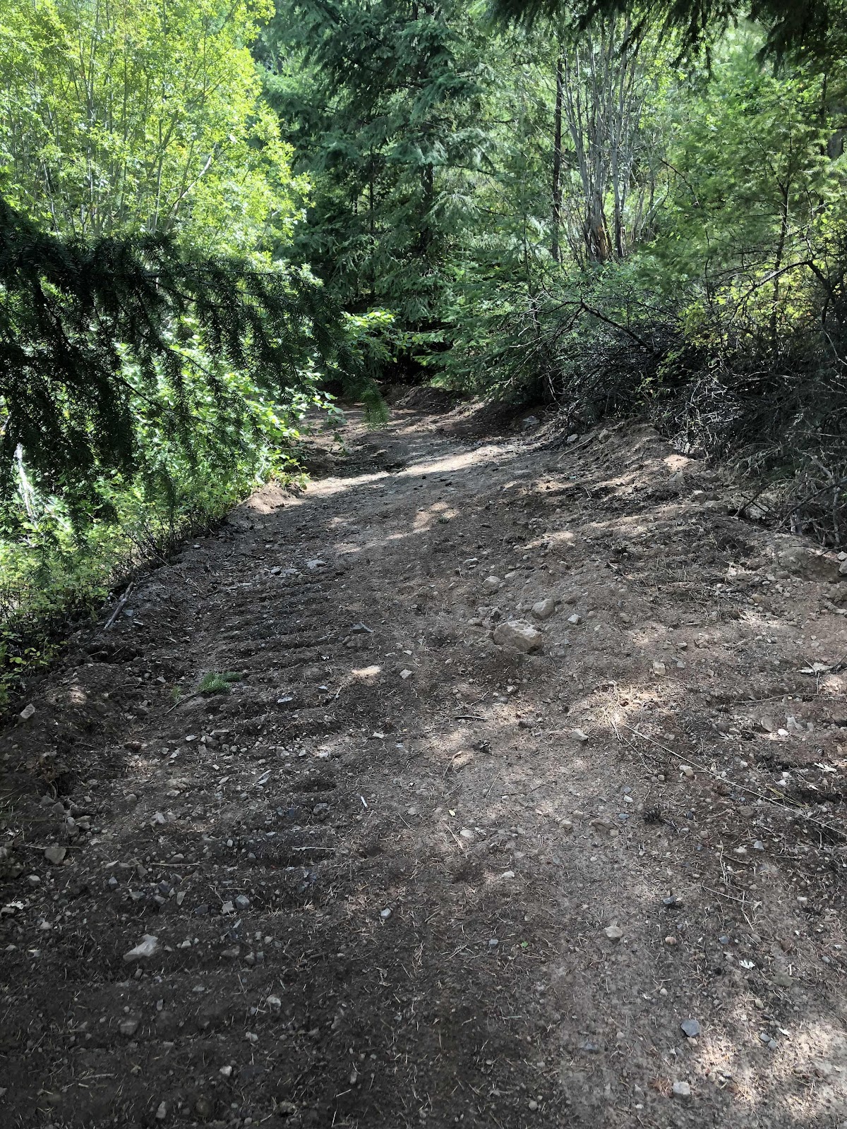
We stopped for some lunch. Afterwards, we continued climbing on FR27. Shortly after restarting, my Garmin said we were off course. I yelled for Makaela. She came back, and we went back to where we were supposed to turn. First, we looked at the route, and saw that we could stay on 27 as we would be coming back to it. But, we foolishly decided to stick to the route. It was a sort of decommissioned road that often looked more like singletrack. Then we got to a part that had been roughly graded (and by “roughly”, I mean terrible).
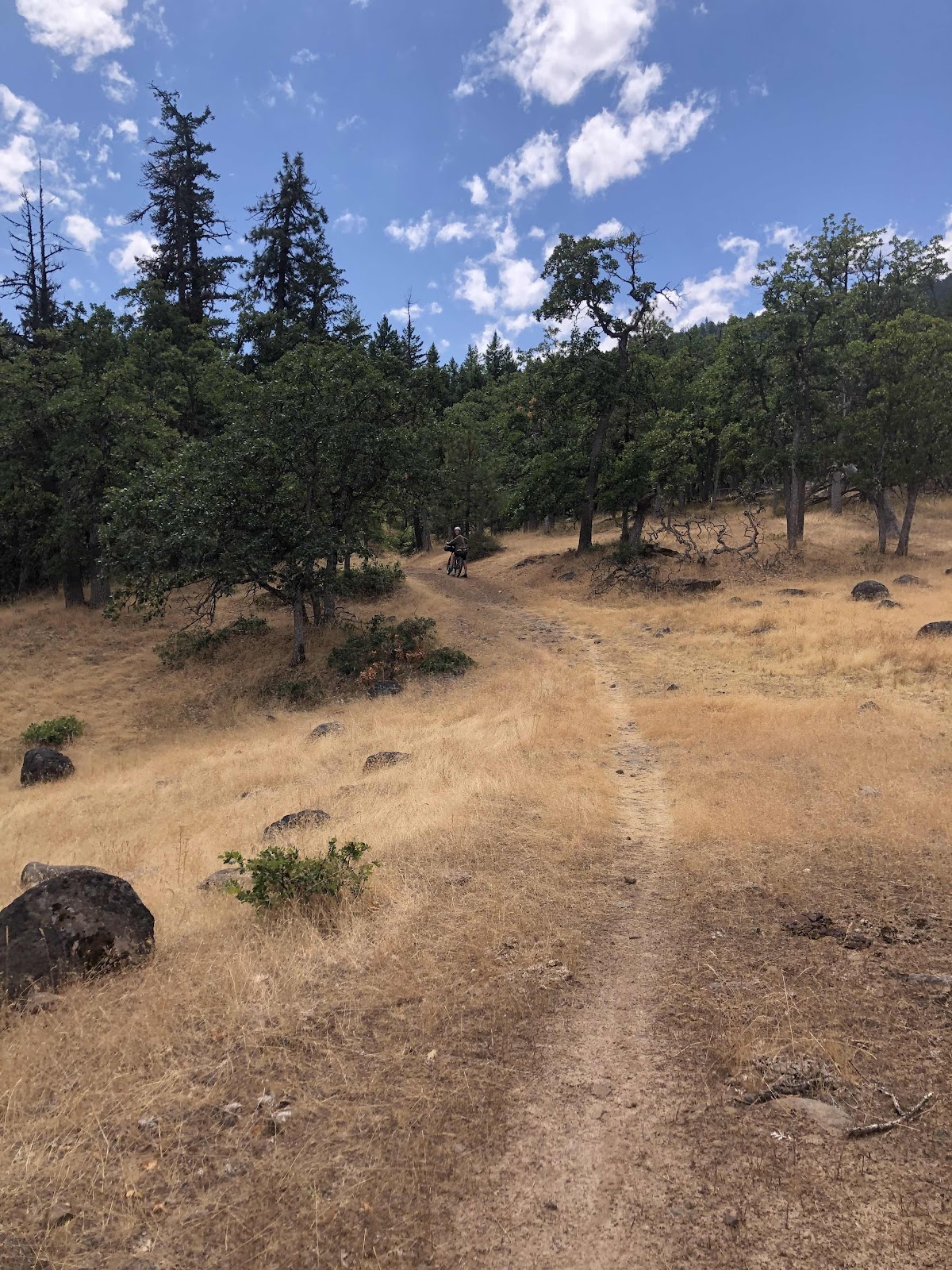
More singletrack than road.

Makaela doing her trail maintenance duty.
The terrible job of grading.

And then we had to cross this creek (Tigh Creek), and you can’t really tell, but the bank on this side to get back up was very steep. Makaela and both had to push Billy up.
We were both getting really tired of the track, especially because we could have avoided it. Oh well, we survived. We came back out to 27, and shortly after, met up with the guys again. They were not on hardtails, and had wisely stayed on the paved road.
Next up was another section that we could have skipped. But no, we followed the guys down to Little Badger Campground, where they stopped for a snack, and we continued on to more singletrack. This time we had to push the bikes back up from the creek. That was not pleasant. The trail was called North South Road Trail. We finally finished the steep climbing. Then the route turned, but there was no road or trail. Looking closer at the route on our phones, Makaela noticed there was just a little loop that would come back to what we were “supposed” to be on. When we came back to the route, it still looked better to stay on the NS Rd Trail. We decided to skip the part of the route and stay on the Trail. It looked to be more of a straight shot, and a better trail (fool us once, shame on you…fool us twice, shame on us…fool us a third time? NO!).
It was still not easy, and I still had to push for a lot of it.
Steeper than it looks. Plus, I was really running out of steam.
Once we were back to gravel, we came down to Badger Creek (the big one). Makaela was thinking maybe we could camp there. But, one, it was a trailhead, and two, if we stopped 5 miles short, then we would have to add those to tomorrow, when we already have 34.5 and a lot of climbing. We decided to continue on. We crossed the creek, and started up another climb. A few yards up the climb, we came to Bonney Crossing Campground. We looked longingly at the campground…and decided we didn’t care about how much we had to do tomorrow, we were done!

Home for the night!

The view of the creek from our campsite.
It was 4:15. We did 30 miles and 3488 feet of elevation. Similar to yesterday, but a lot slower due to all the hike-a-bike. Tomorrow, if the route looks sketchy, we’ll evaluate more carefully…maybe.
No comments:
Post a Comment