Thursday, July 16, 2026

7/16-Toadstool, You Suck!

Today was a longer day than I planned. I mean, sure, I knew it was going to be on par with my longest day, and for that reason, I was up at the butt crack of dawn. 
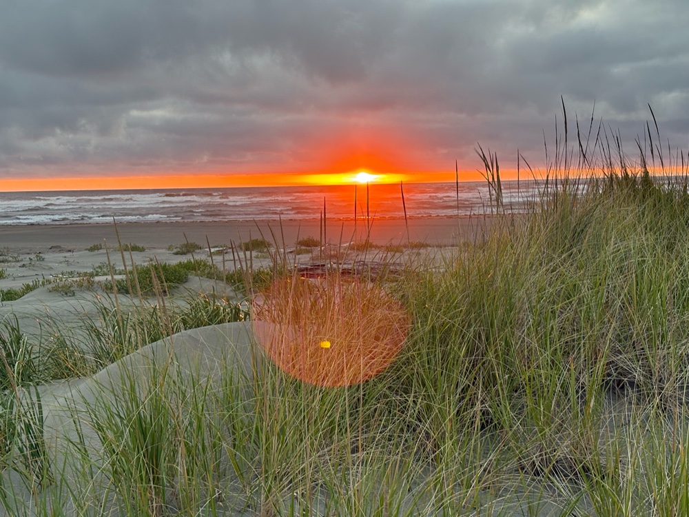
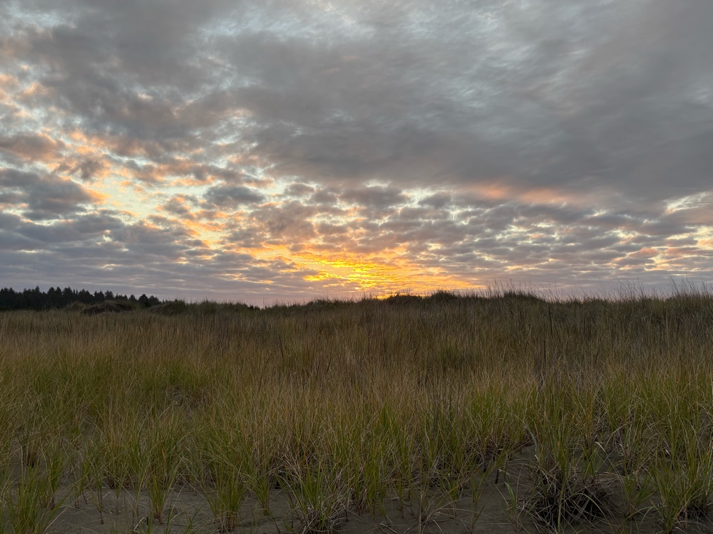
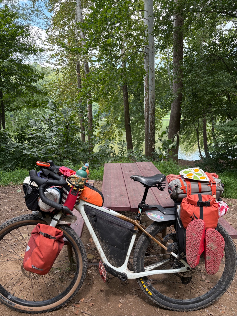
Not quite sunrise yet

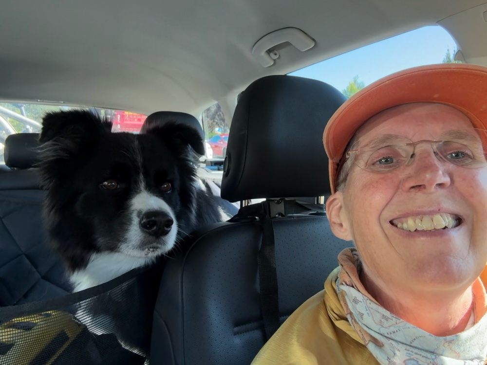
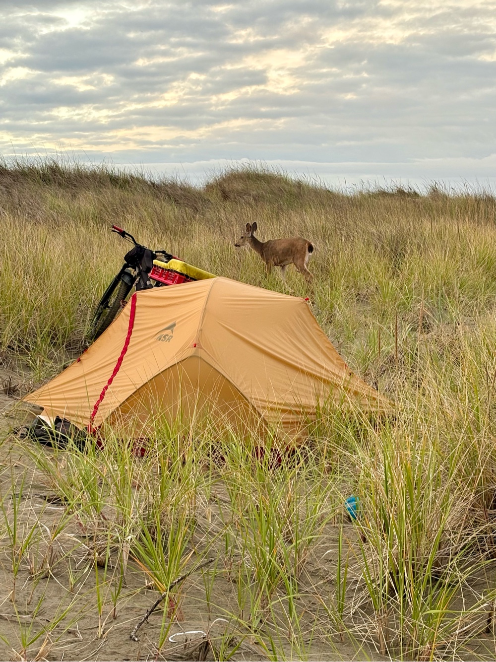
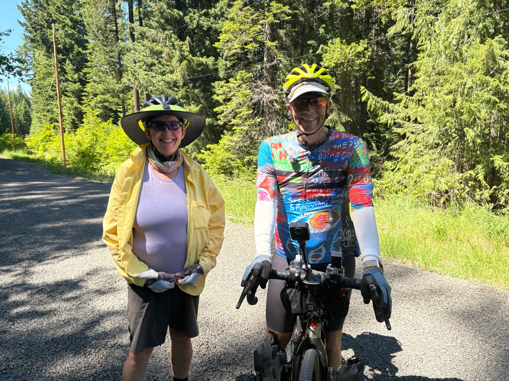
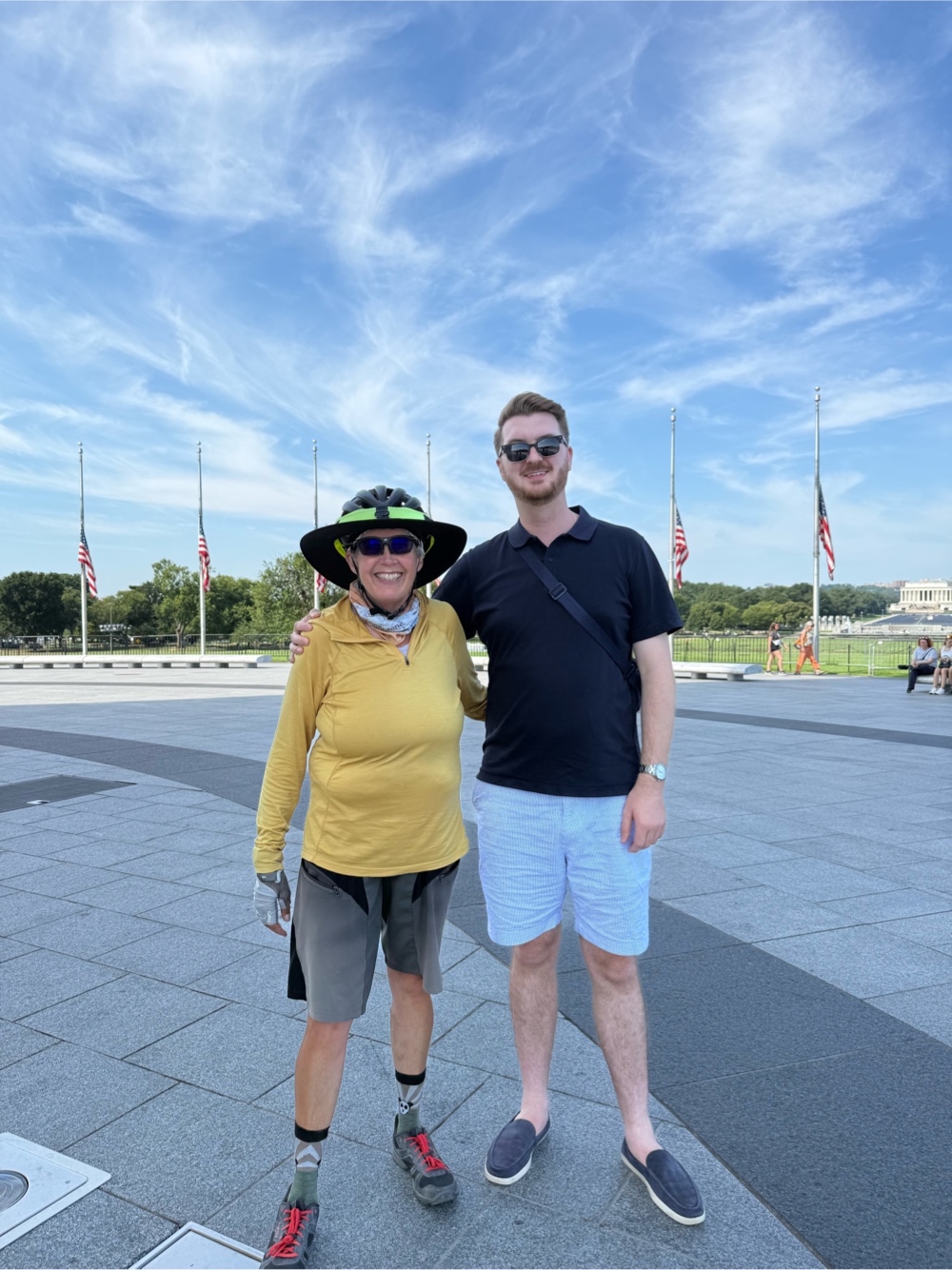
I headed out at 5:40 after Sue (of Scott and Sue who I met last night) took my photo. It was a wonderfully chilly 57 degrees! It wouldn’t stay that way. 
Back on the Mickelson!

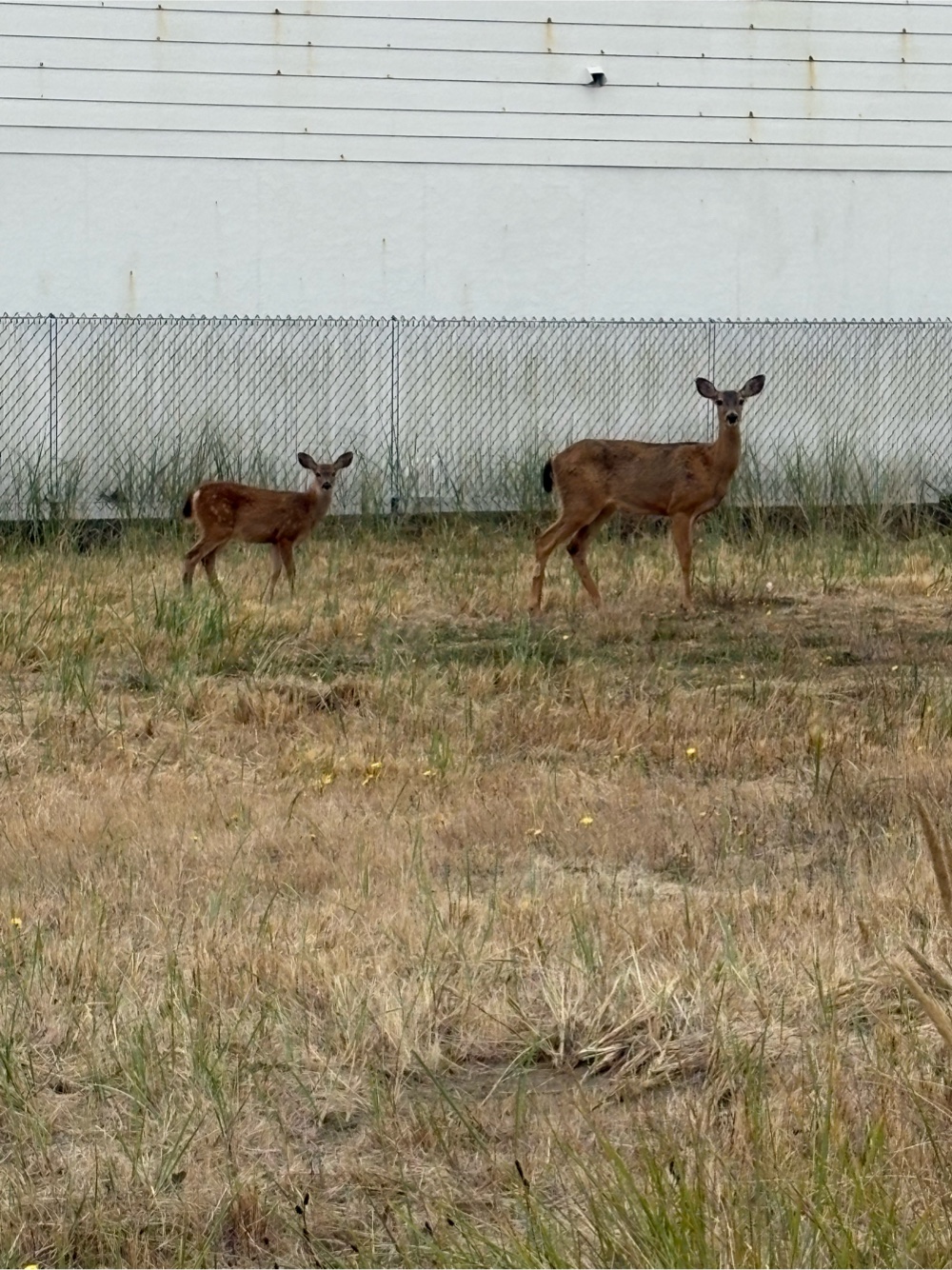
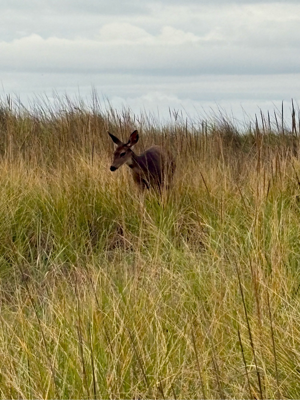
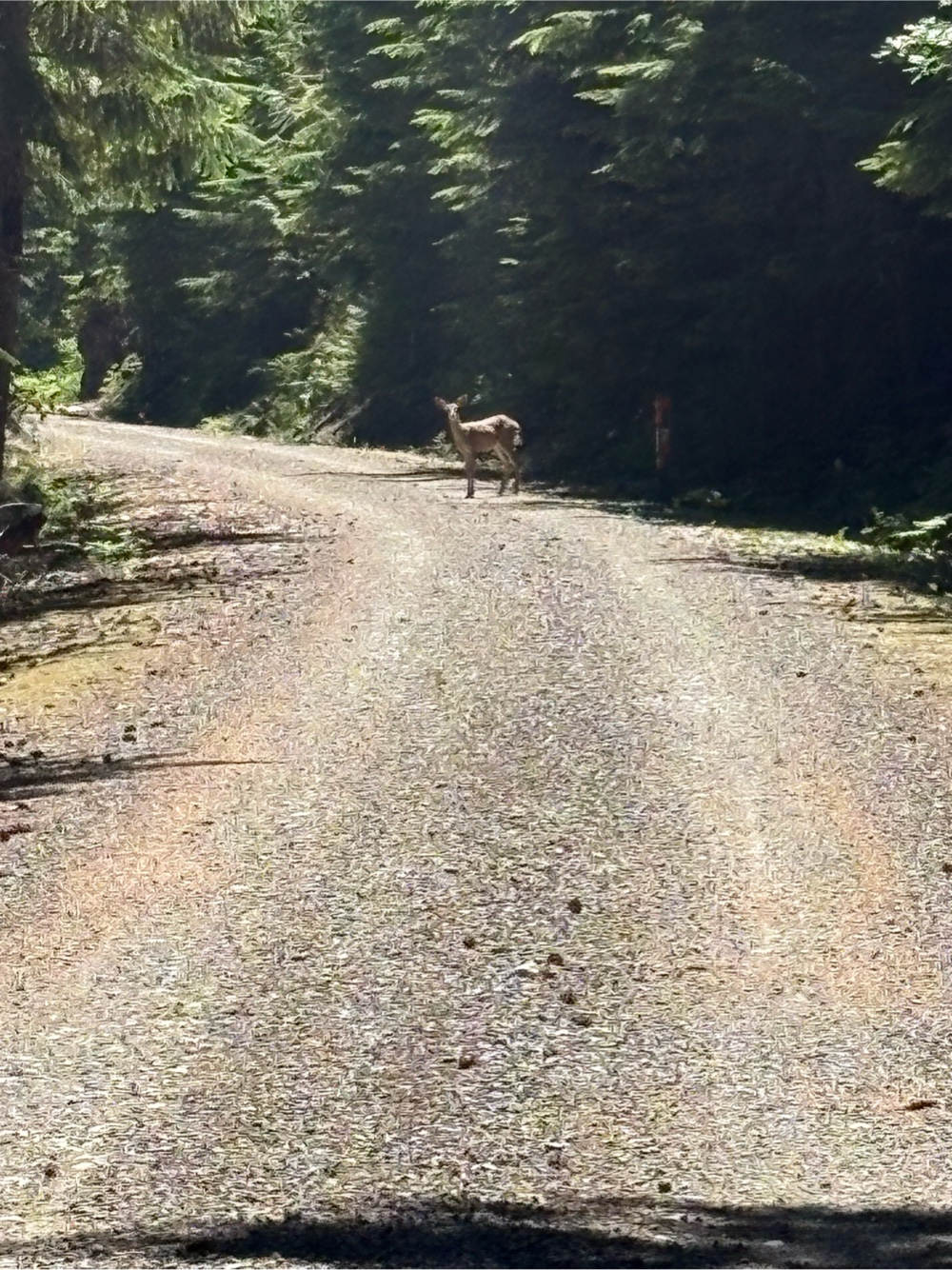
I see you deer!

Good morning shadow!

Pretty little scene, I thought. 

There were a few short climbs on the trail, but as I suspected, it was mostly downhill. I needed that to make the long day. The only town between Custer and Edgemont was Pringle. I cruised through there pretty early. 

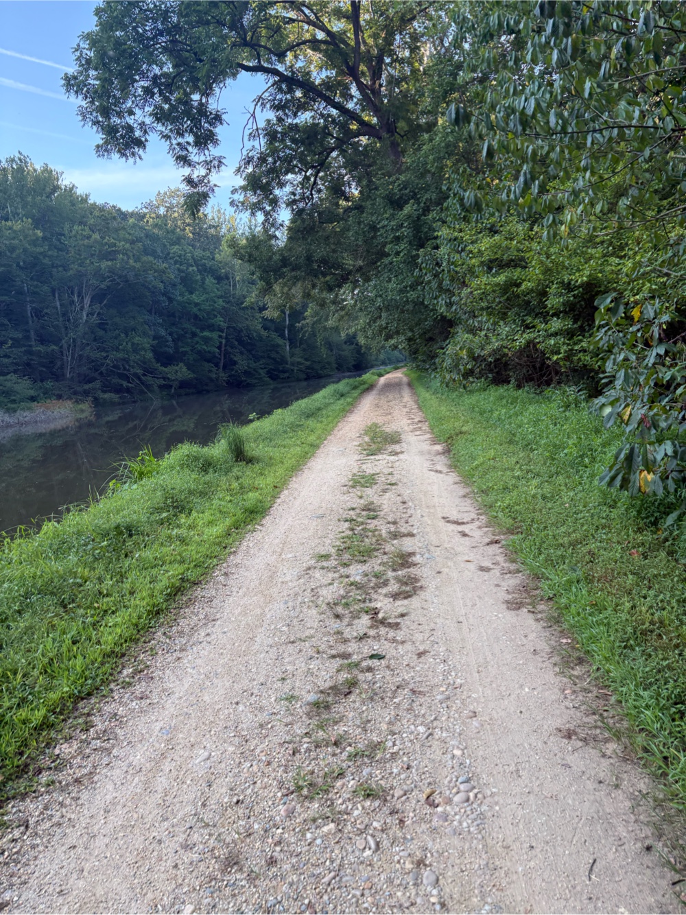
The trail at this end went through a lot of different landscapes. 
MP 27…my favorite number!

Sweeping vistas

Rock walls

The Plains 

This is the Minnekahta Trailhead. I had a snack here as I was 30 miles in.

Sheep’s Canyon

I reached a point where I could see the town of Edgemont. Edgemont is the southern terminus of the Mickelson Trail. 
It’s way down there!

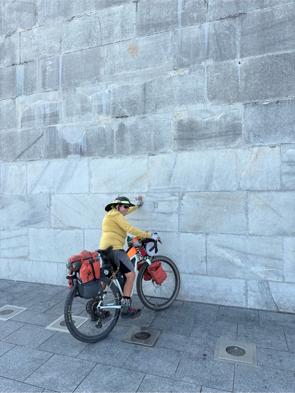
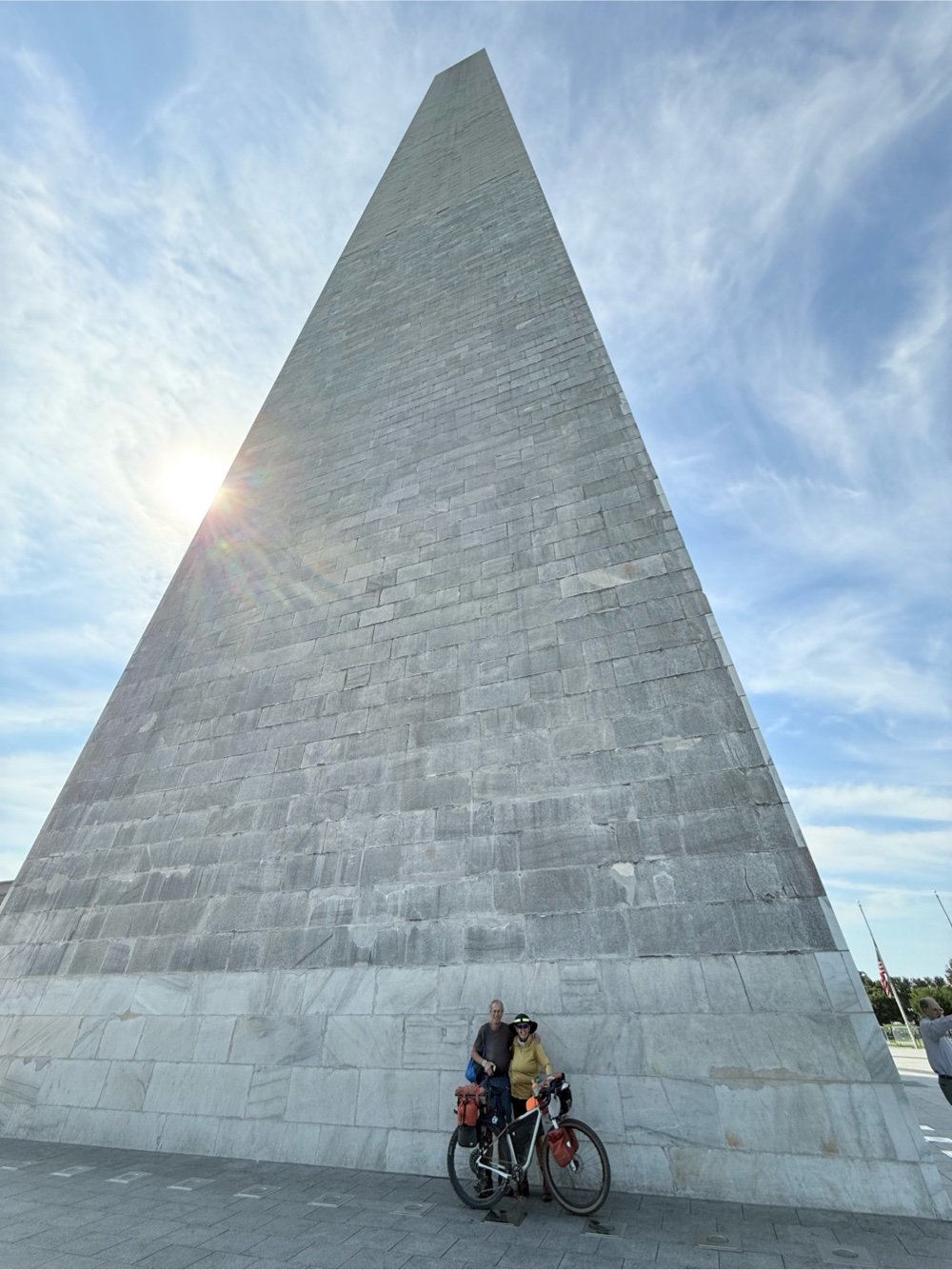
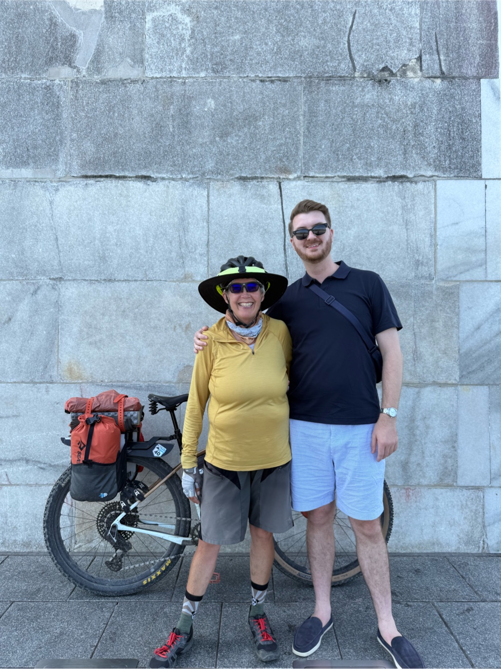
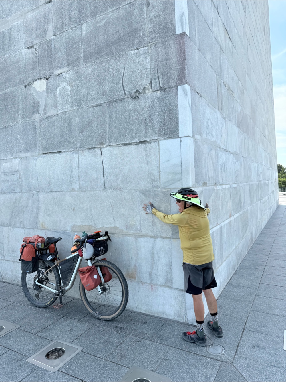
I still had about 7 miles to go, but it was all downhill. I arrived in Edgemont. There’s not much to the town. I stopped at the Trailhead for the obligatory photo to finish off the Mickelson Trail,
The gas station was back on the hwy. I just stopped at the campground and filled up my water for the remaining 40 miles. I added an extra 1/2 liter in my frame bag.

Edgemont was the end of Segment 3 (Steppe) of the route. Now I am halfway through the segments. I loaded up Segment 4 (Plains), and headed out of town. I encountered this before I turned off the hwy and back onto gravel.
It was a funny little passenger train. 

Onto the gravel, I had the first climb. For the first 490 miles of this segment, there are only 10 climbs that will initiate the climb pro! After the first climb, the second one was right away. Then it said the next climb isn’t for 77 miles!
Can see why they call this the Plains segment

I had several miles of rolling gravel roads, and a whole lotta nothing. Eventually, I popped out onto pavement. At 12 miles to go to my planned destination, I crossed into state number 6…Nebraska!
I couldn’t hold up 6 fingers AND take the photo!

Now I was really counting down the miles to Toadstool Geological Park Campground. It was hotter than hot! I still had a good amount of water (even though it was hot water). I stopped every mile, and allowed myself to drink 100ml.
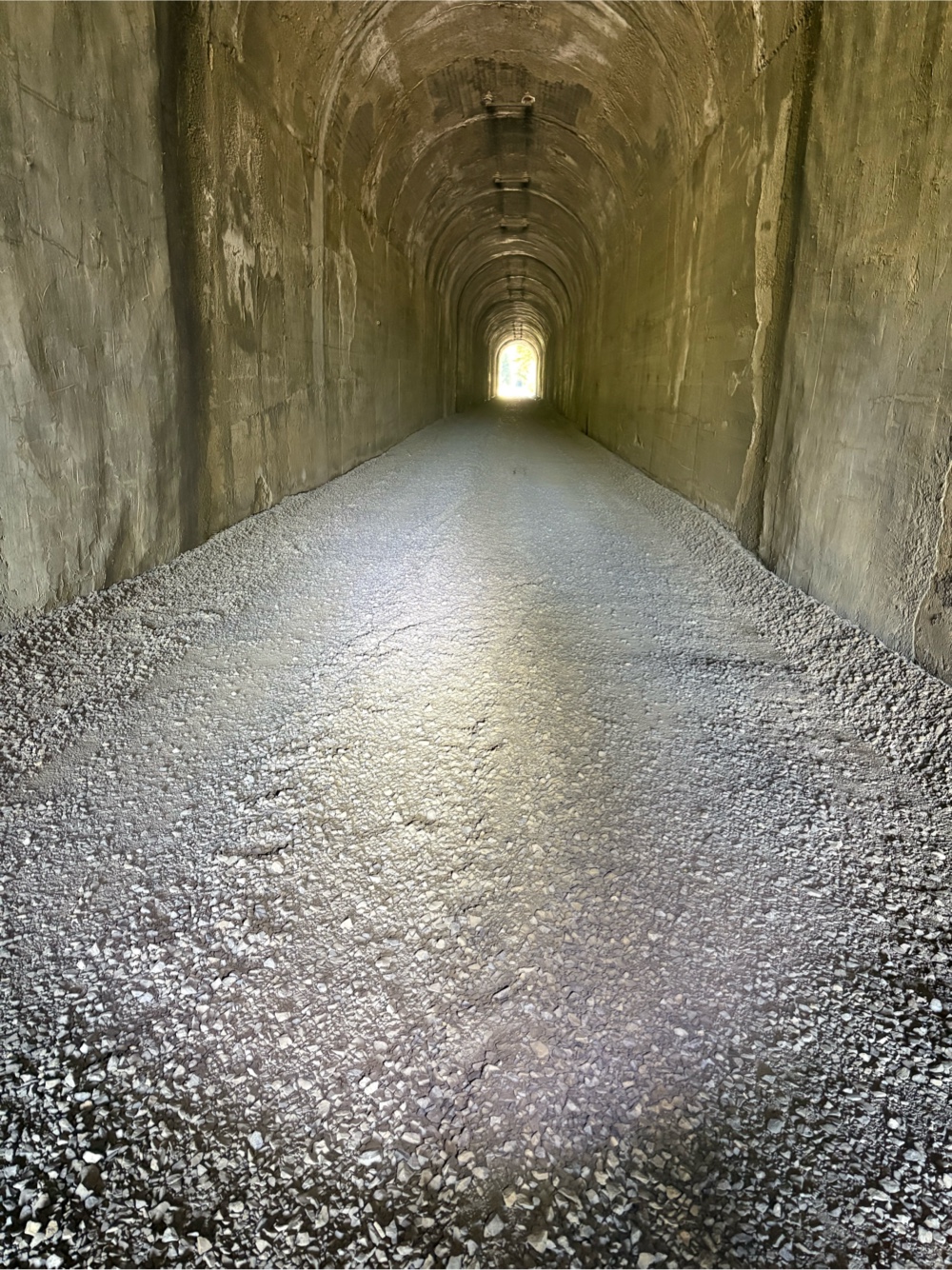
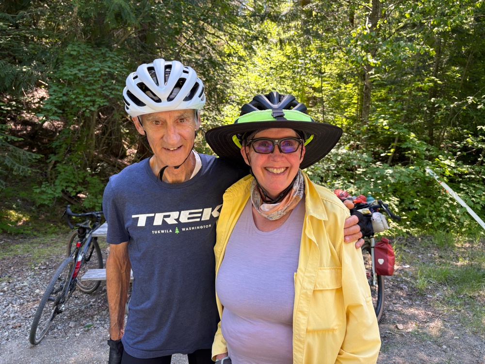
Woo Hoo 3 miles to go!

I made it to the turn to go to the park. It was another 1 1/2 miles. Okay, I can do this! The road was horrible washboard. The closer I got, the more worried I became as to whether there would be water. Sure enough, I got there, and there was no water pump! Well crap!!! I, by no means, had enough water left…maybe about 400ml. A car drove up. I told them there was no water here, and asked if they had any. They gave me all they had which amounted to a little over a liter for me. I was very grateful, but it still wasn’t enough for me to be able to camp there. I was about to ask if there was any way they could give me a ride when they said there was a guest ranch about 4 miles further. Okay, I could manage that (thanks to their water donation).
Toadstool

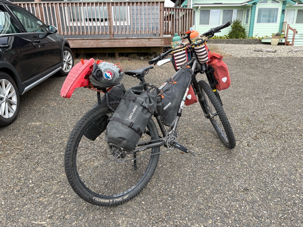
I rode the washboarded road back out (so 3 gratuitous extra miles) to the main road. I could see what looked like a ranch in the distance. The whole time I was riding toward it, I kept saying, “Please be the guest ranch. Please be the guest ranch!” Thankfully, it was! I rolled up and parked Wanda. The dogs were barking, but were friendly. I knocked on the front door. No answer. I sat down on the porch and finished the rest of the water the guys had given me. I decided to search out more water. I followed a hose around the back of the house. When I got there, the woman who runs the guest ranch came out. I guess she didn’t hear me knock. Her name is Jean. She’s has a variety of accommodations here. I’m in the little place in the barn. She charged me $50. I did not complain.
The bed is to the left

In the fridge there are bottles of flavored water. I’ve already drank two! The shower was the BEST SHOWER EVER!

I was just supposed to do 84 miles today. Instead I ended up with 89. Tomorrow I will go to Chadron. It’s about 39 miles from here. The heat persists! Jean said this is the worst drought they’ve had. 


Wednesday, July 15, 2026

7/15-Rock Presidents and a Crazy Horse

This morning it was Greenwich all over again! Let me explain. If you’ve been following this blog for a number of years, you might remember this story. When I was cycling in London, I was headed back to the caravan park when I saw the sign to Greenwich. I had already been cycling around London all day, and didn’t want to do more miles. I said to myself, maybe next time I come to London, I’ll go to Greenwich. The next day, I was leaving London. I had used Google Maps to make a route out of London (this was before RWGPS). It was a bit tricky to follow. Somehow I ended up in Greenwich, which was not the way I had meant to go!

Fast forward to today. I had let RWGPS make a route to Mt. Rushmore from the hotel. It was about 9 miles. I took off at about 7:00. It was quite the steep climb on Old Hill City Rd right from the hotel. Then it became nice and rolling. I even got an early morning deer sighting. 
Funny thing…a whole bunch of motorcycles went by, and the deer didn’t even move. As soon as I went by, it took off. 

The train tracks that go from Hill City to Keystone were following the road. I think I crossed them a dozen times! I saw a sign that said “Keystone 6 miles”. I said to myself, ah, I’m not going to Keystone. 

Things were going along fine until my Garmin said to turn right onto Centennial Trail #89. Yeah, it was an actual trail that was uphill and overgrown. Not going to happen on a loaded Wanda. I even looked at it twice. I decided it would probably take me just as long to hike-a-bike the trail as it would to just ride around on the road to…you guessed it…Keystone!
Town of Keystone (quite touristy)


The Keystone train depot

At least it was pretty much all downhill to Keystone. There was a Subway on the way to Mt. Rushmore. Unfortunately, it wasn’t open (I checked).
I tried to check off a South Dakota Subway!

From Keystone, I entered Mt. Rushmore National Memorial.
It was a 2 mile climb up to the entrance. There was a nice wide shoulder. I actually only stopped to take a break twice. One was to take this photo. 
Almost there!

Interestingly, Mt Rushmore only charges for parking. Bicycles are free. I rode up the bus lane right to the Visitor Center. I parked Wanda and locked her to a bench. I noticed two other loaded bikes. When I came out of the restroom, the cyclists were at their bikes. Of course I went over to talk to them! They were Jennifer and Tony. I’m not sure where they were from (Tony was definitely New Zealand, but I didn’t get the idea they had come from NZ). They had started in Bar Harbor, and kind of did what I did coming back to Minneapolis. Then they were following Northern Tier, now doings Peaks and Prairies to Missoula, then picking up the Trans Am to Florence, OR. I said I had done Trans Am 4 years ago. Tony had an interesting way of asking how old I was. He asked how old I was when I did Trans Am. They were both in their very early 50s.

Vivian and Ken arrived, and I introduced them to Jennifer and Tony. Then we headed off to see the rock presidents. 
A sculpture of the sculptor 


Flags of all the states and territories 


Some crazy woman!

A little zoomed in

They do a cool light show at night that you can watch from the amphitheater 

George

Thomas

Teddy

Abe

We went into the Visitors Center and saw the all the exhibits. 

Vivian and I decided we wanted ice cream. Sadly, the ice cream place didn’t open until 11:00. It was only 10:00. Vivian got a cinnamon roll that I had a couple of bits of, and I got a soda. 

It was time to continue on my way, and for Vivian and Ken to head back to Hill City. By the way, they DID do the trail! They said it wasn’t too bad with their unloaded e-bikes, but they still had to walk them part of the way. They even went back the same way. I was heading on, so I had another route.
Final profile viewpoint on the way back.

There were still a few good climbs on the road to get back to the Mickelson Trail. But, I eventually made it. 
Back on the trail

The trail was still climbing pretty much all the way to the turn for Crazy Horse. For awhile, a guy named Jim rode along beside me asking me about my trip. His wife was behind me. They were from Rapid City, and ride the trail a lot. Eventually they headed off.

There wasn’t actually a trailhead for Crazy Horse. The trail went under the road. On the other side, there was this. 
Okay, good enough. 


It went up to a parking area, then to the road. 

Of course, it was another climb up to Crazy Horse Mtn. At the entrance I had to pay $10. Crazy Horse is not a National Memorial. I continued up, and parked Wanda in the “Bike Parking”, which was really motorcycle parking. I walked through the museum and out to the patio area. 

Honestly, Crazy Horse was a little…underwhelming. I heard someone say it hasn’t been worked on for a long time. But, I can say I’ve been there now…maybe don’t need to go back.

I returned to the trail with about 8ish miles to go to Custer. It was all downhill. 
Just as I was coming into Custer, the trail turned to paved. It was paved through the town. I couldn’t remember the name of the campground I had planned to go to, so I stopped to Google camping in Custer. I found one just off the trail called Buffalo Ridge. I headed there. Along the way, I went by the campground I had been planning. I wasn’t impressed, so I continued on.
Custer trailhead

About a mile later, I could see the campground.
It’s a nice place up on the hill (ridge, I suppose). It’s kind of on par with a KOA price wise. They have a variety of accommodations, including teepees.
Tomorrow I will aim for Toadstool Geological Park and Campground. It will be a long day, hopefully with a fair amount of downhill or level. I’ll start early in hopes of lower temps, and less wind.

Tuesday, July 14, 2026

7/14-Mickelson At Last!!!

One of the parts of the GAWR that I have most been looking forward to is the George S Mickelson Trail. Just a little over 4 delightfully chilly miles (including a 2.4 mile climb right out of the campground) brought me to the road that ran parallel to the trail. 
Morning deer!

Climbing in cool weather is so nice!

Because I wasn’t running the route on my Garmin, I pulled out my phone. The route went up the hwy before getting to the trail. However, I noticed there was a connector just across the road. I took it! It was a wee bit of hike-a-bike, but it spit me out onto the trail. 

See what the bench says?

Mickelson Trail!

The trail was climbing for another mile and a half, just like the road, but oh so much nicer! Once I finished the climb, it was miles of gentle railroad grade downhill. 
I started the trail at MP 96


Several gates

Dumont Trailhead

Meadows

Trestles

Info signs

This one was interesting. The building was sided with the lids from cyanide barrels used in mining. The sign says people must not have been concerned about it. 

Often reminded me of the Willapa Hills Trail

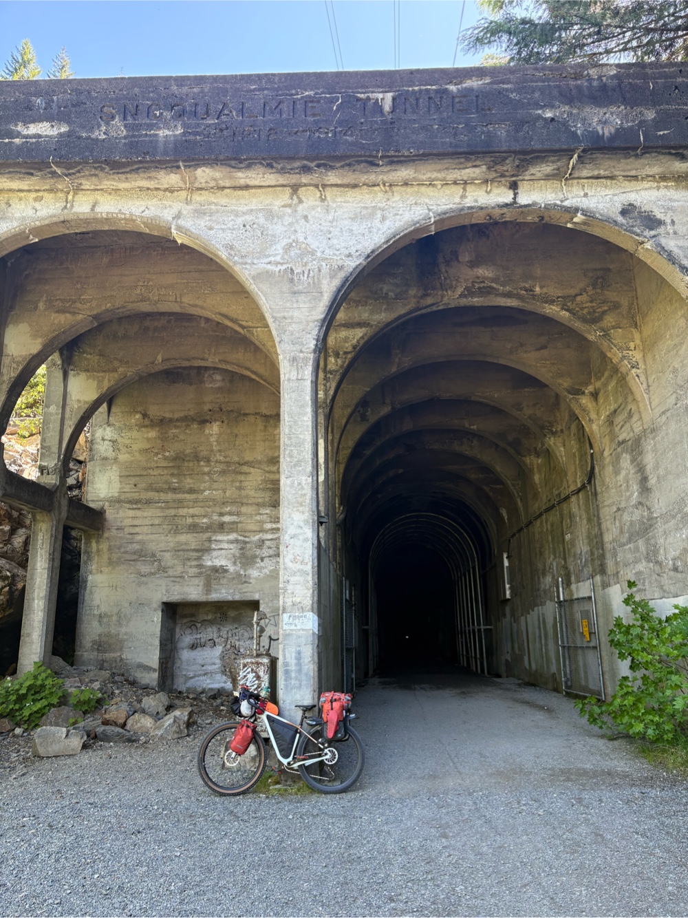
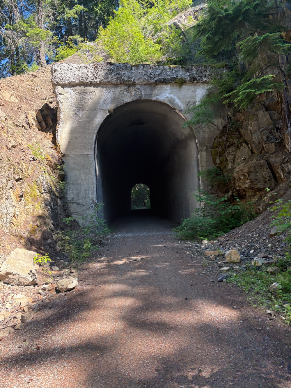
I went through tunnels too. 
They are lettered on my route

Didn’t really need my headlight

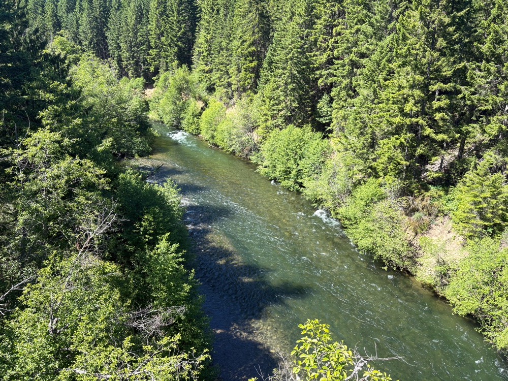
Lovely creek along the way

Snack time on a bench


The Mystic Trailhead. Here there was a water pump. I filled my bottle when I realized I had miscalculated the miles I had left.

I thought I only had about 6 miles to Hill City

Mystic school room? Church?

Wanda and a tunnel

About the tunnels

Horses!

From the Mystic Trailhead, it was about a 5 mile climb. I had talked to four people on e-bikes. They passed me on the climb. There were arguably more e-bikes on the trail than “analog” bikes. When the horses went by me, one rider said, “Nice e-bike!” Of course I said, “It’s NOT an e-bike!”

The last 4ish miles were downhill to Hill City. 
Not surprisingly, there is a big train theme in Hill City!

I was looking up possible hotels, when Ken and Vivian rode up behind me. They were staying in the Ameri-Inn nearby, so I just decided to stay there too. Believe it or not, this place is cheaper than that dump I stayed in in Broadus!
Luxury

Laundry is done, and everything is charging. Vivian and Ken and I went to an early dinner at the Hill City Cafe. It was pretty good. I was able to get a small fuel canister at the outfitter next door. after dinner, we went to the grocery store. I was able to get everything on my list (even more magnesium glycinate). Now I’ll upload this post, and relax for the remainder of the evening. Tomorrow will be Mt. Rushmore, Crazy Horse, and more Mickelson Trail!