Wednesday, September 7, 2022

Day 90-So Many Things Today!

This was the dreaded day…yes, it was not easy, but it wasn’t as bad as we thought it would be. 

We got an early start from Lexington, with a hearty Best Western breakfast in our bellies (I made the perfect waffle). There was a bit of a heart thumping hill to start with, but then about 13 or so miles of a gradual grade to Vesuvius. I finally managed to get a photo of one of my old friends from the AT. 

Yep, the little red eft. 

In Vesuvius, we started the dreaded 4 miles of steep switchbacks up to the Blue Ridge Parkway. Only…it wasn’t 4 miles, and the last bit wasn’t that hard. 

And so it begins…
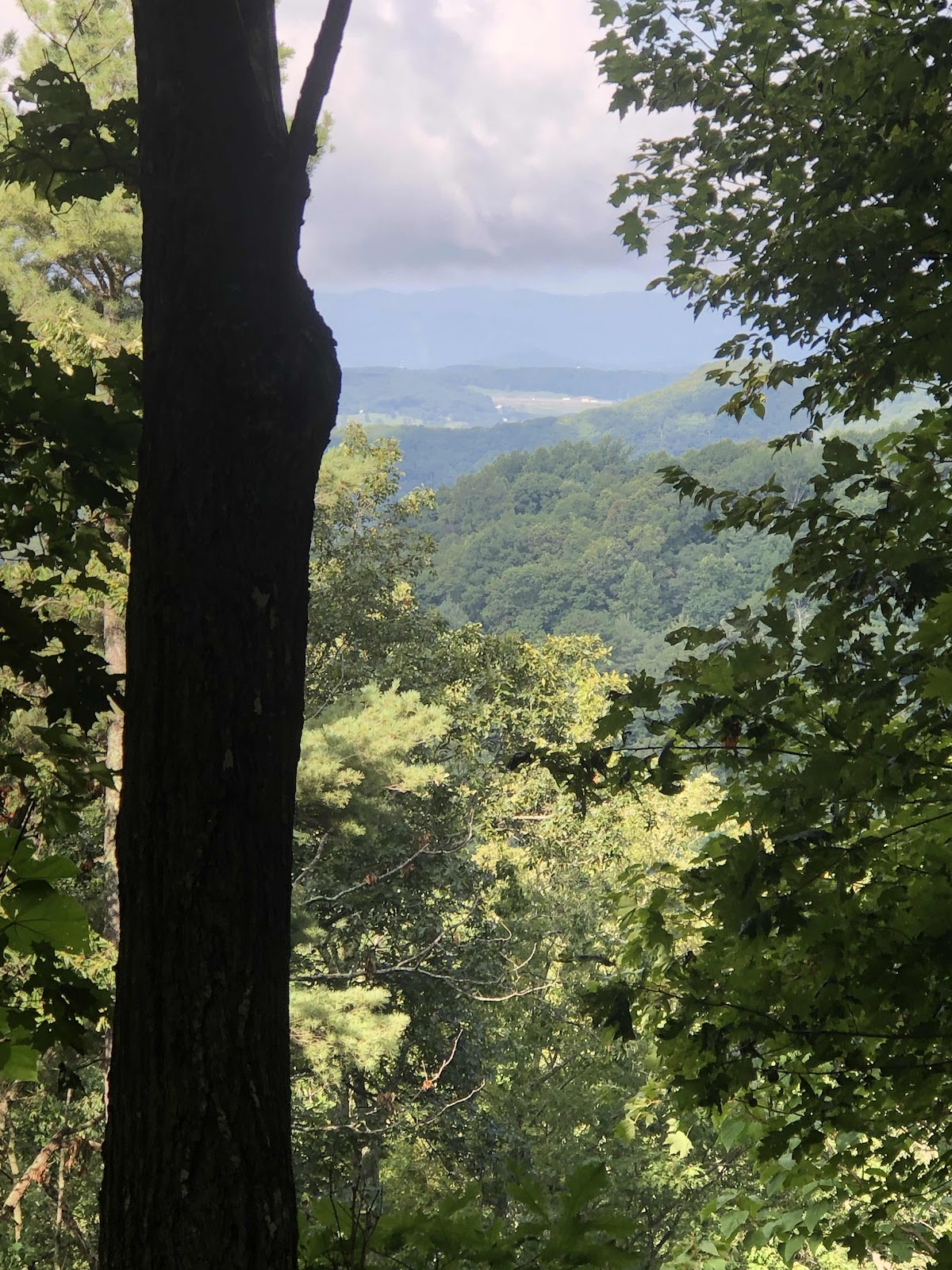
A bit of a view from most of the way up. 

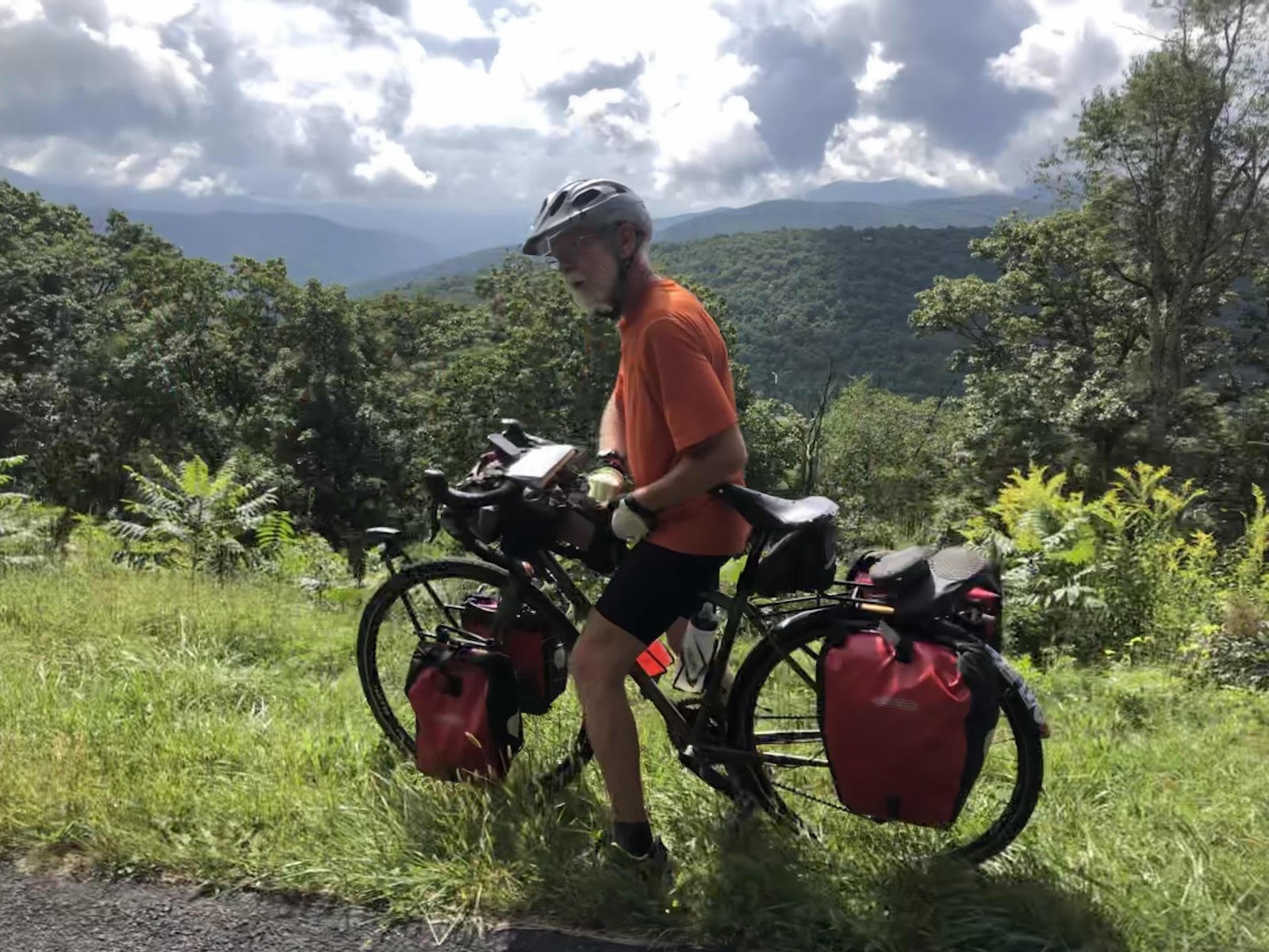
We got on the Blue Ridge Parkway, and continued climbing. There are numerous overlooks on the Parkway. Of course, we can also stop where there isn’t an official overlook. 
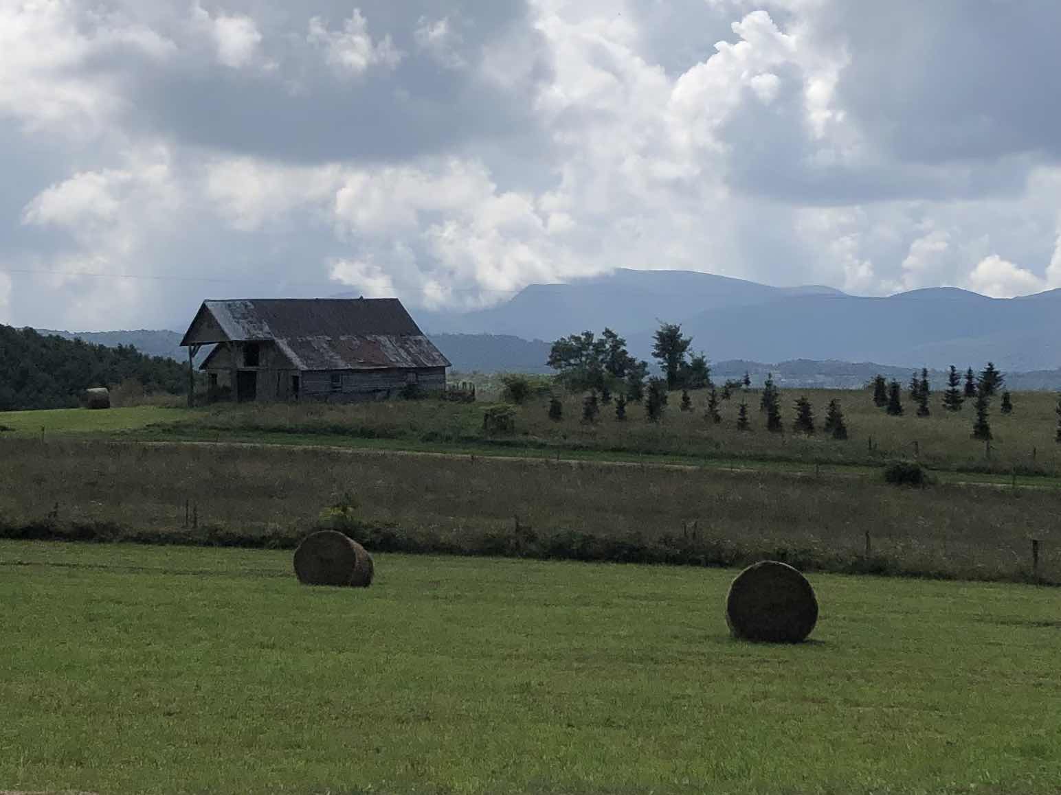


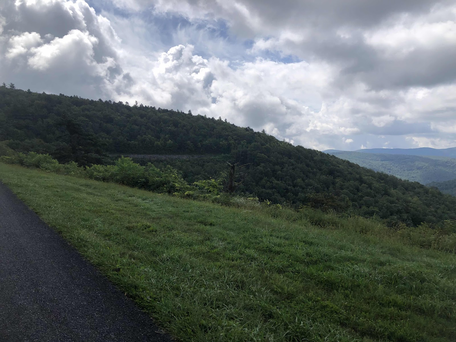
You can see the road over there. 
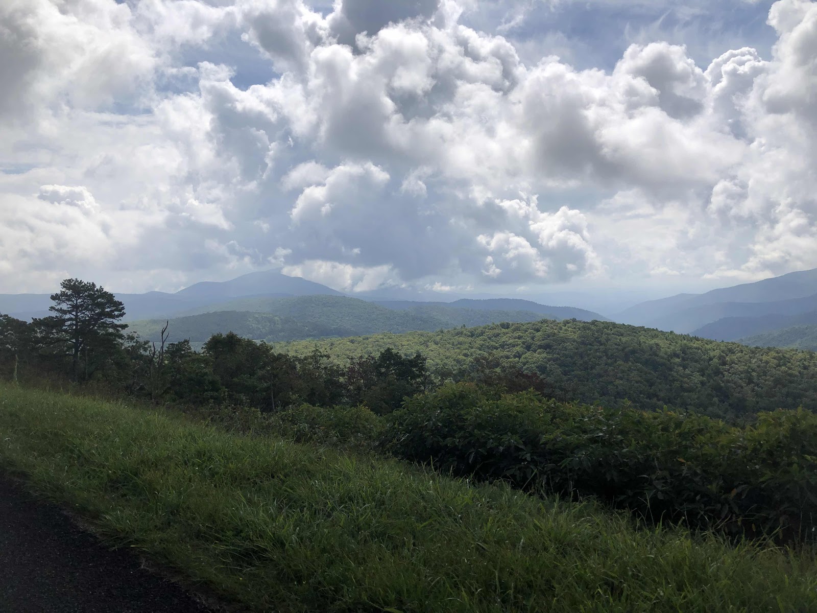


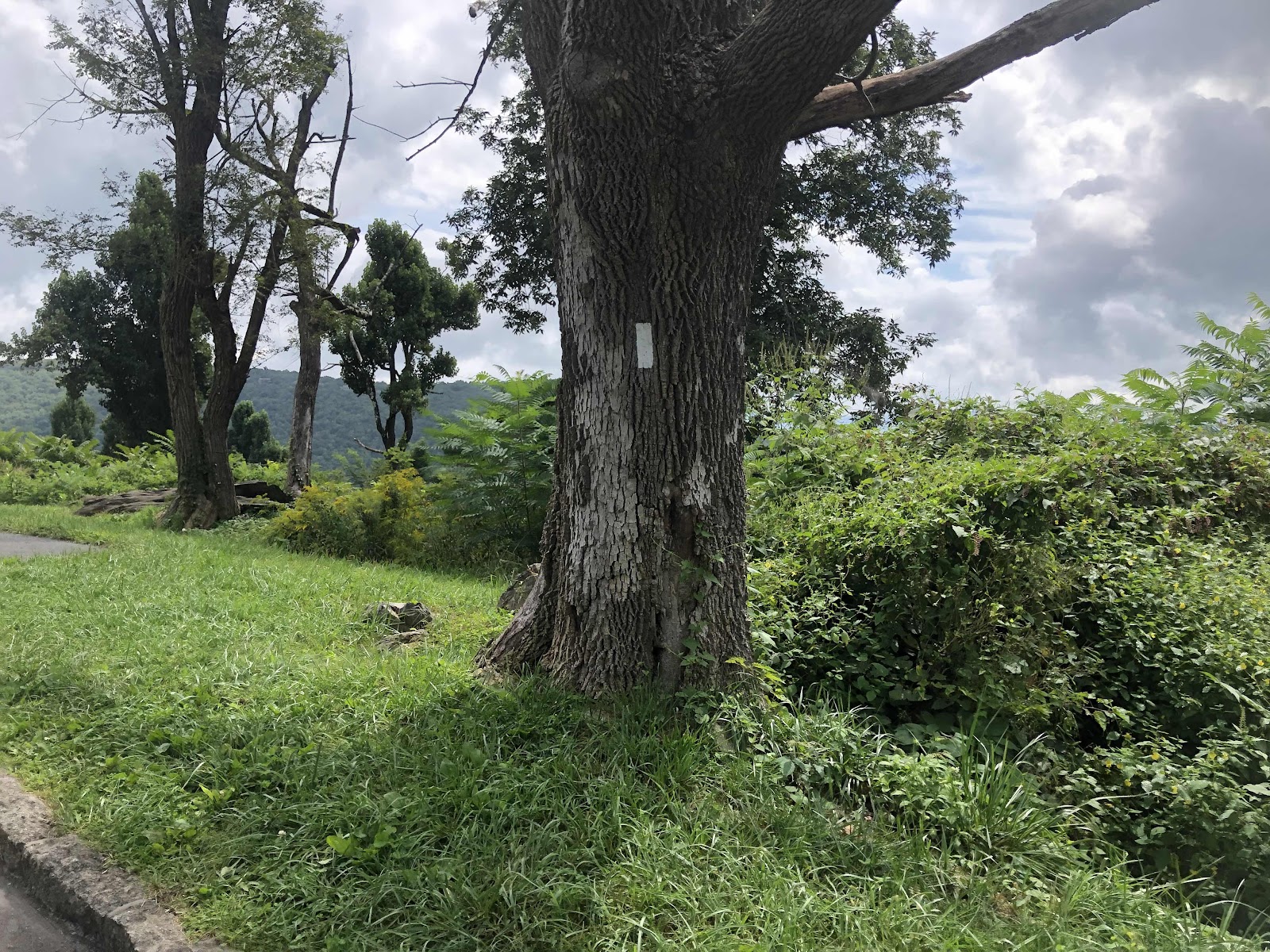
We were here on the AT!
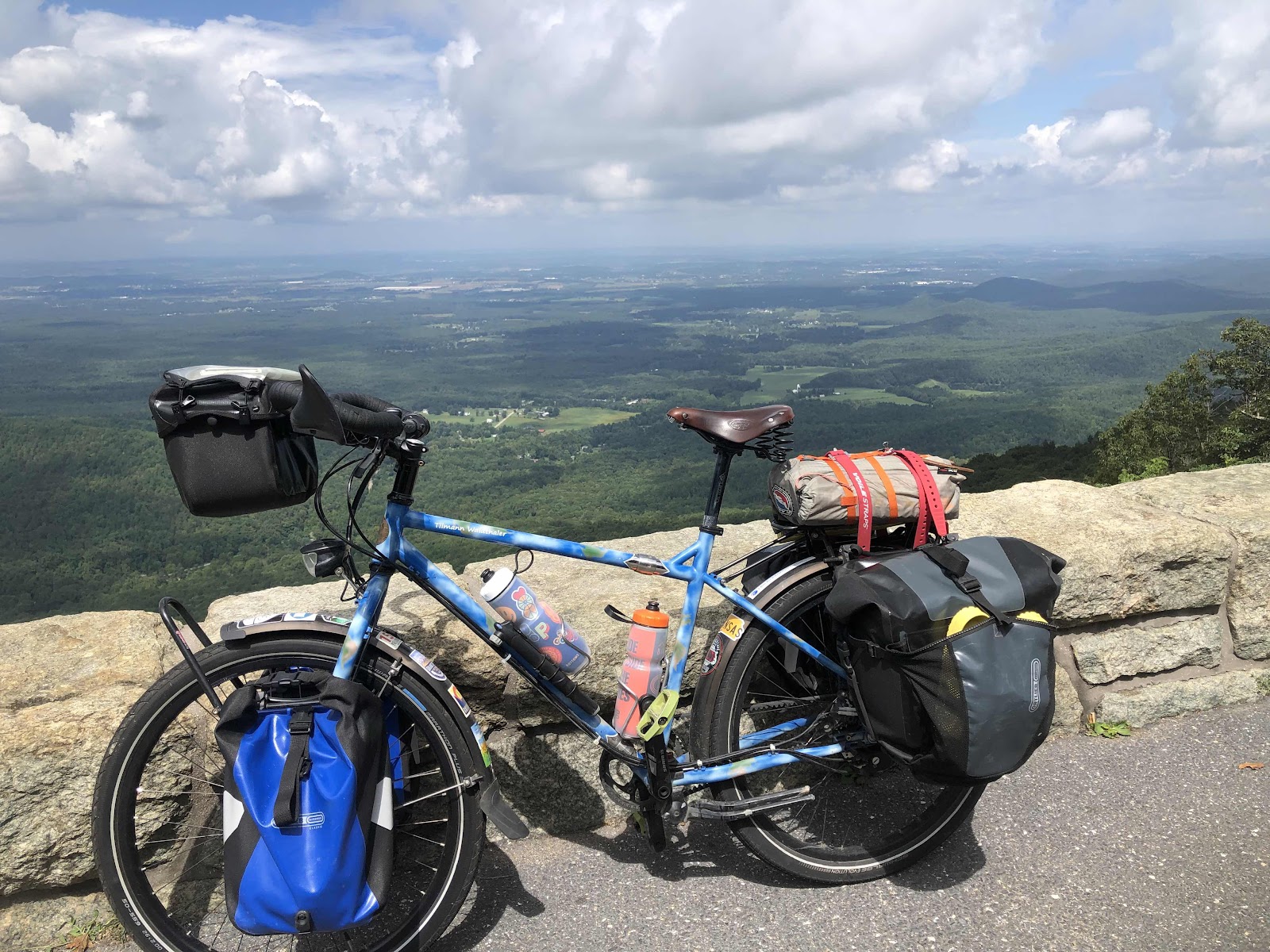
An overlook looking down the other side of the ridge at Raven’s Roost Overlook. 

After lots of ups and downs, we had a nice downhill to the Humpback Rocks Visitor Center. It was the only place the entire day where we were able to get water. 


After the Visitor Center, we had 6 more miles to the end of the Parkway at Rockfish Gap (another place we were at on the AT). The route came off the Parkway and went right on 250. We went left as we were doing the Blue Ridge Tunnel Trail. 
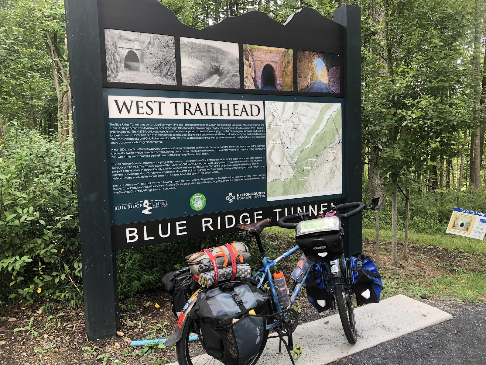
It went under Rockfish Gap! The trail to the tunnel was a pretty steep downhill of crushed, mostly compacted gravel. Still, the brakes got a workout. 

The tunnel!!!
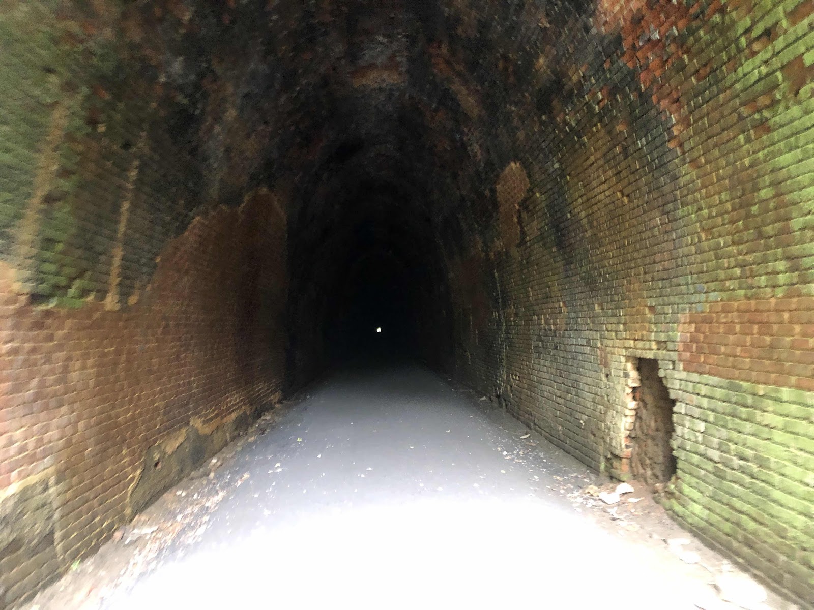
Goin’ in!

The tunnel is not that long (you can see the light at the end of it). We popped out the other side at the East Trailhead. 
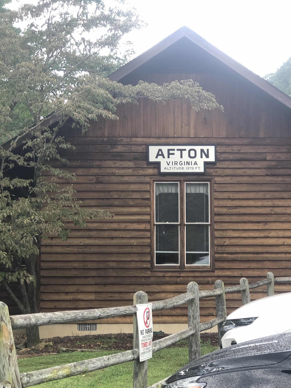
I think this was the old depot??? But, the cool thing is that my mom’s parents were Afton and Virginia! 

We stopped to talk to a family with two little girls that have been traveling by car for 22 months. They are with some group, but they didn’t say what it was. It started to rain, so we hustled on to…”The Cookie Lady Bike House”! 
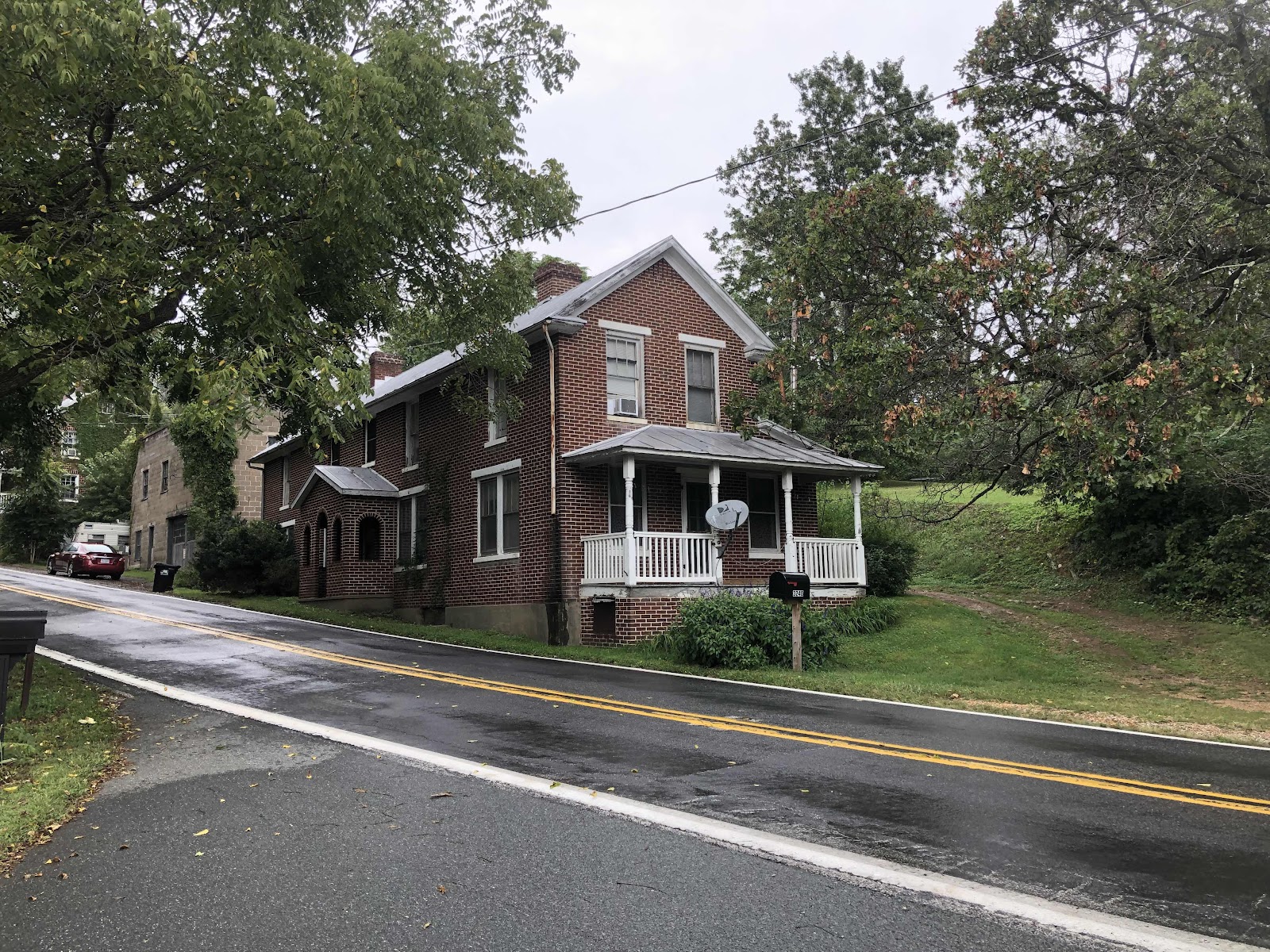
It is literally just across the road from the East Trailhead road. 

Who is/was the Cookie Lady? Her name was June Curry. From the beginning of the Trans Am in 1976 she helped cyclists, and gave out cookies. She passed away about 10 years ago. Her (either daughter or granddaughter), Nicole has kept the house available for cyclists to sleep in. Really, it’s a museum of memorabilia from over the many years June opened up her home to cyclists. We are just crashing on couches. 

Memorabilia everywhere!
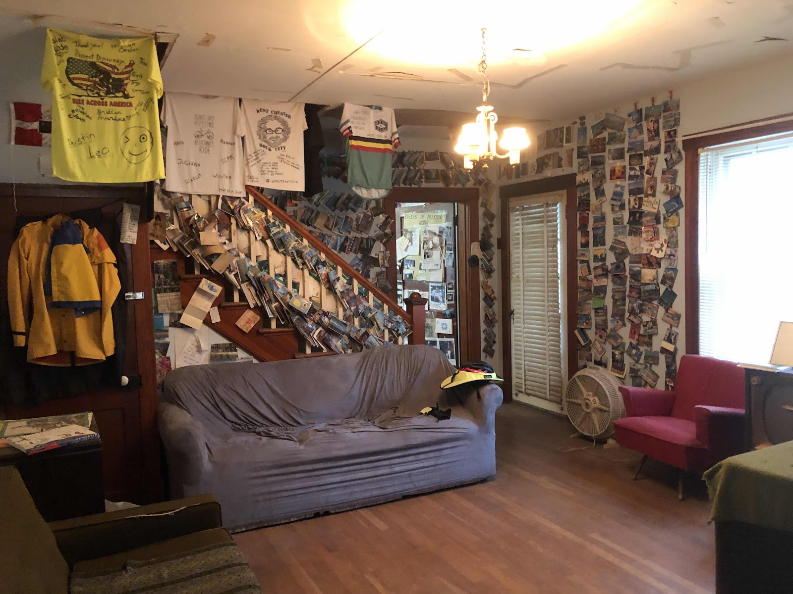
I claimed the grey couch. 
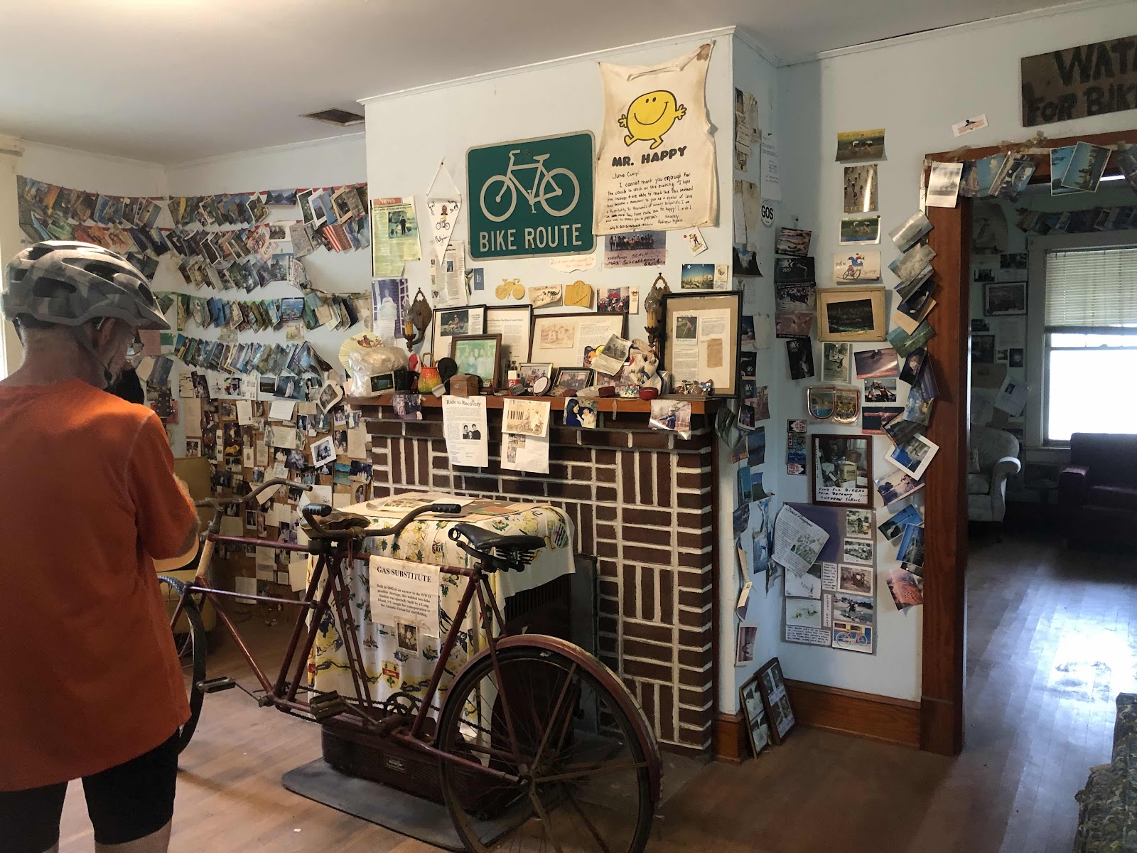


Nicole asks for a $25 donation/person. It pays for the lights and water. There is an upstairs, but I don’t know if anyone lives there. 

So, we did the last major climbing of the Trans Am today. There are still some small rollers, but we are on the downslope to Yorktown!

T-Minus 4 days!


Tuesday, September 6, 2022

Day 89-A Bit of a Break From the Hills

Woo hoo, no more rain! Of course we were dry in the shelter anyway, but we didn’t have to ride in rain today…just the usual heat and humidity. 

We had breakfast at a restaurant a couple miles into the route. Actually, we skipped a bit of the route, and just stayed on Hwy 11. The route was just a gratuitous hill, that then returned to 11. No thank you, Trans Am!

The Greenwood restaurant was just where the route returned to Hwy 11. They opened at 8:00. There were quite a few people waiting to go inside. Once they opened, and we were seated, several more people came in. I guess this is one of the few restaurants left in Troutville. It was a typical small town place. Everyone seemed to know everyone. 

We were back on the road at about 8:30 or so. We had one short climb (the only climb today where I used my easiest gear), then about 10 miles of gentle downhill. That sure was nice for a change!


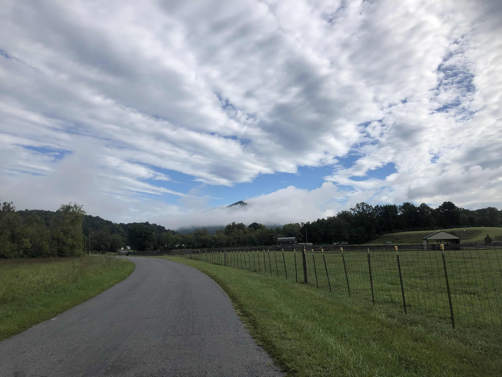
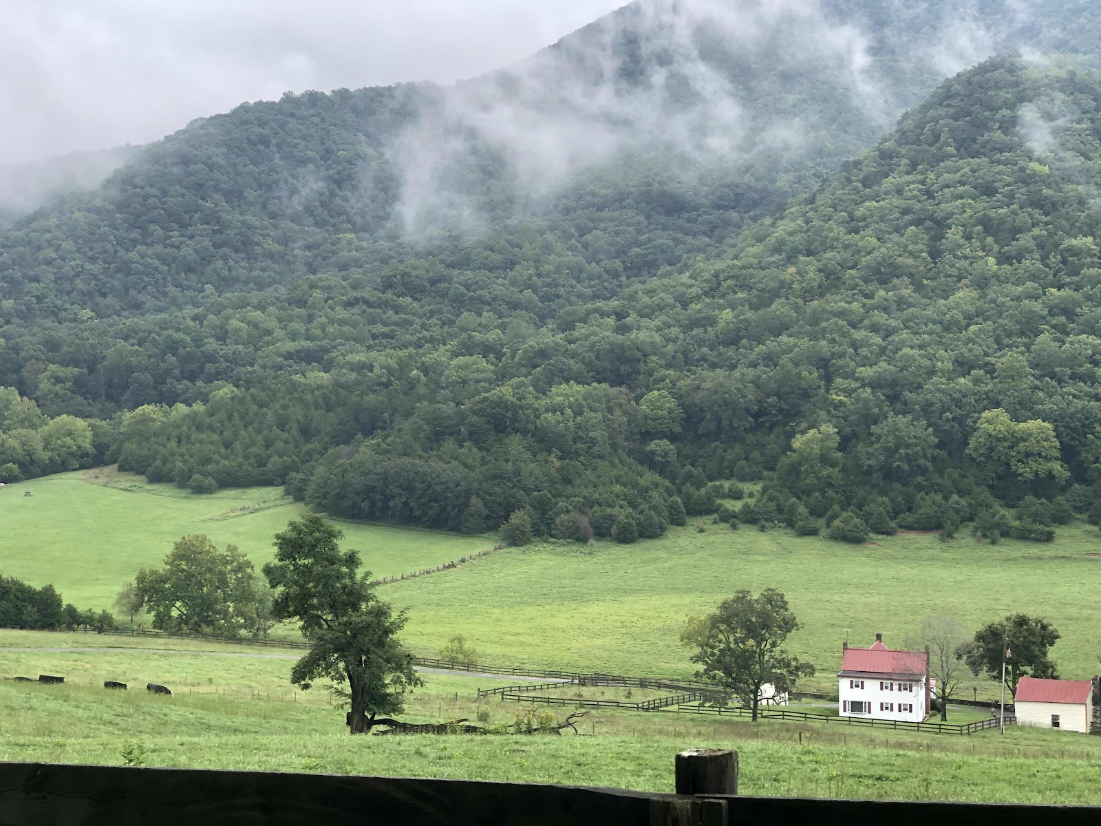
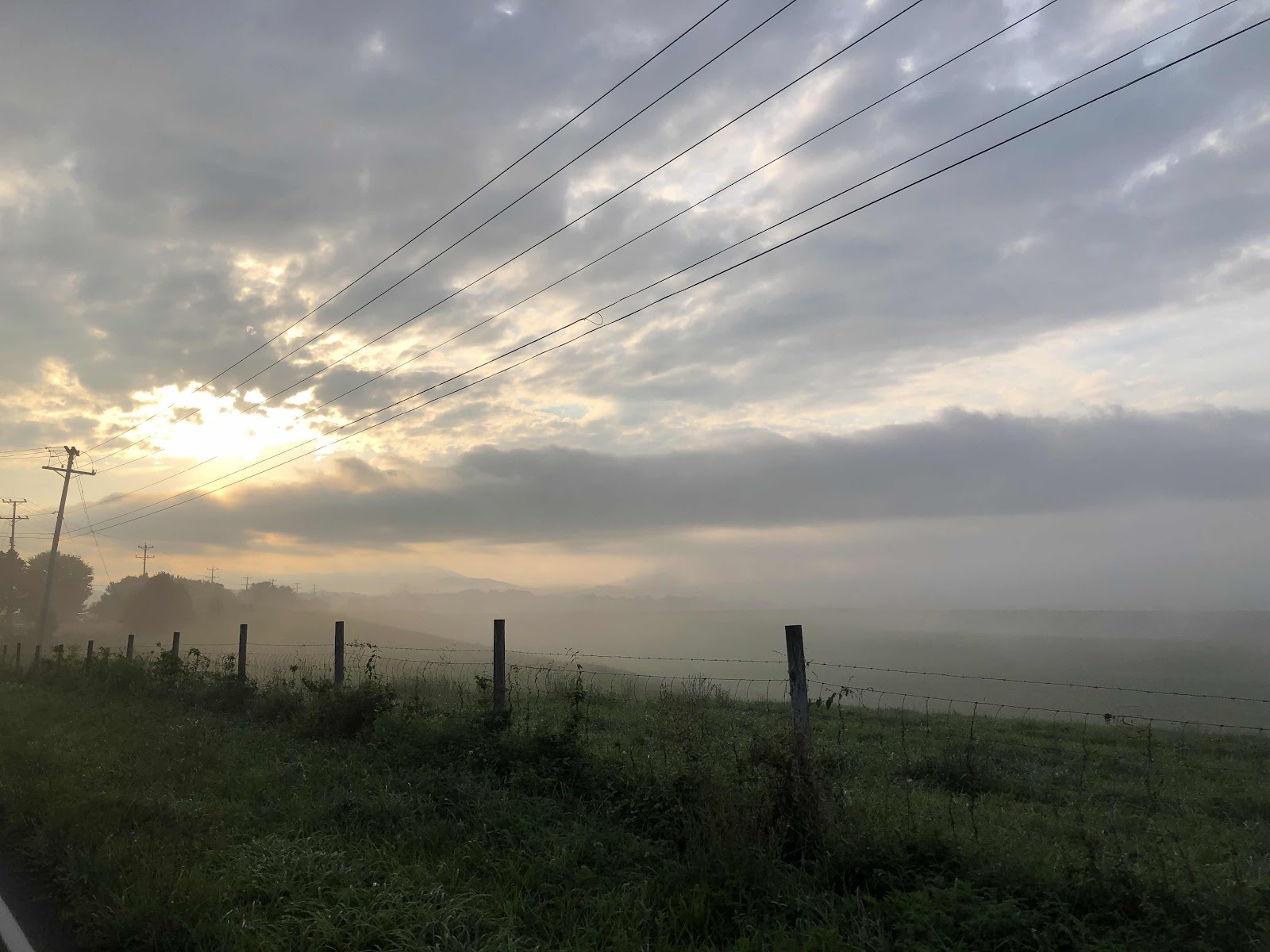
Mountain peaking out above the fog. 

We stopped in Buchanan (not pronounced like you think…oh no…it’s pronounced BUH cannon) mostly to use the restroom, but grabbed a snack for later. 

We paralleled I-81 for a long time. It was quite noisy. After taking another break at a gas station, we turned onto a very quiet road (well, quiet after we went under the freeway). The road reminded me of a road I do at home called Zenkner Valley. It was mostly one lane with gentle ups, and easy downs (Zenkner Valley isn’t gentle ups, it’s quite steep, but the area looked like the valley). Eventually, we came down to a river. 

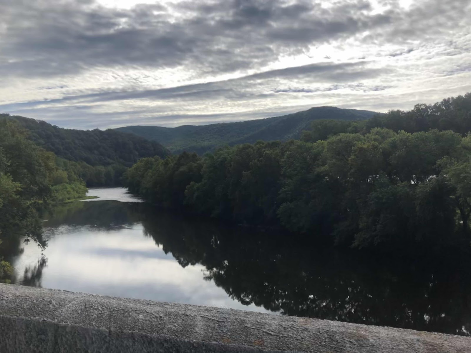
Always a bit of climbing from a river crossing, but not bad. 

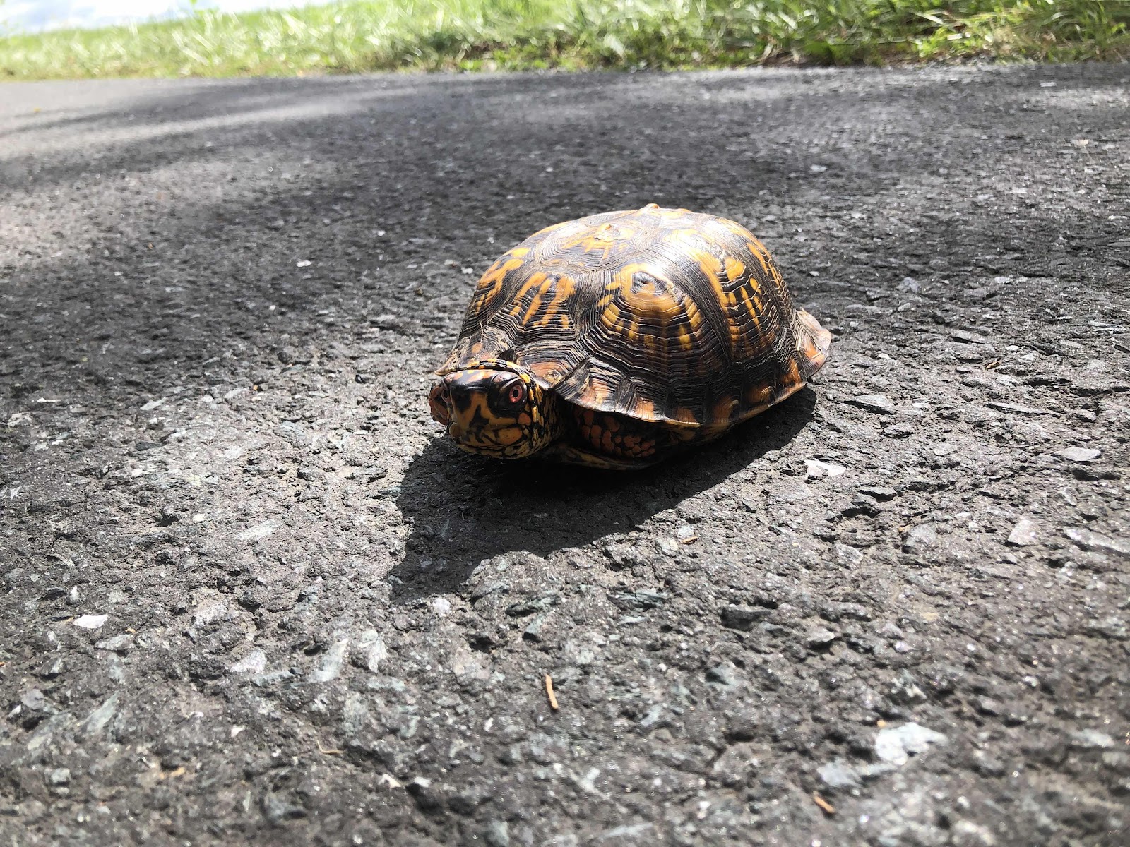
A bit further on, we changed the map to the next panel. As we were going up the hill, I spied this little fella. 

You know I had to move him off the road…in my efforts to keep another turtle alive…until the next time he decides to park himself in the middle of the road. 

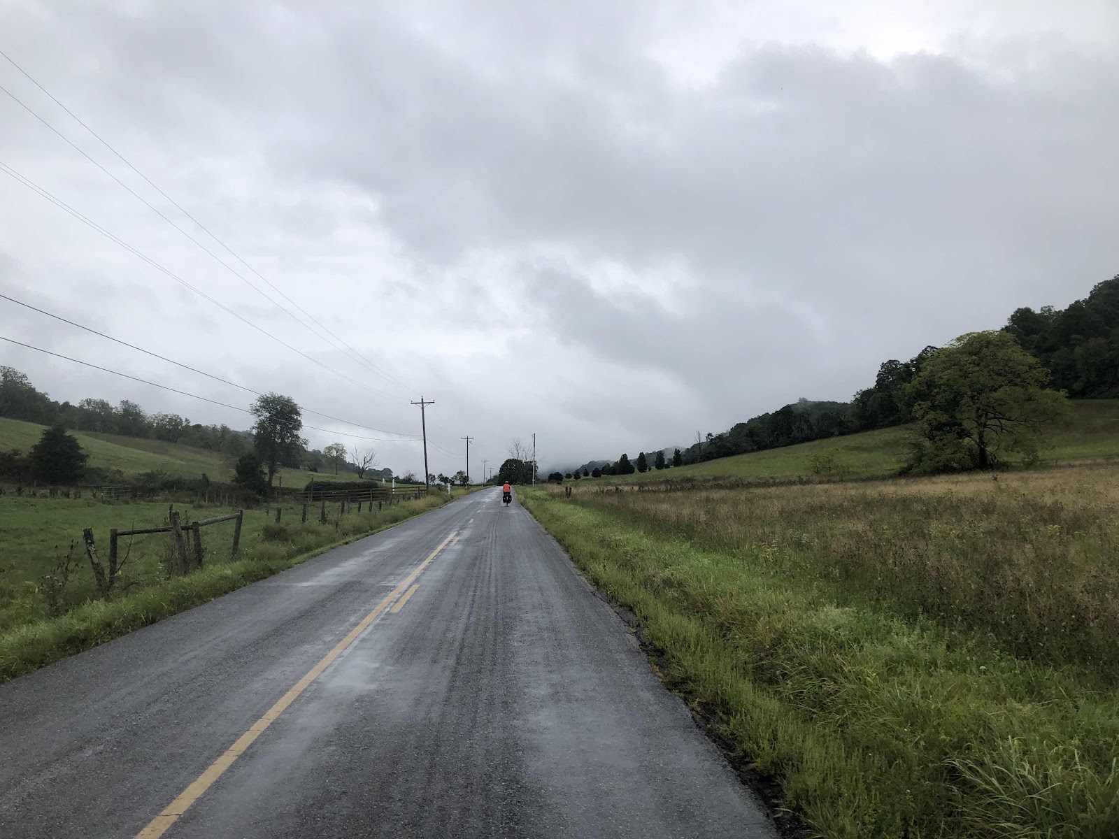
It was a pretty ride…


Not too far from Lexington, I stopped to talk to a guy who was getting his mail. He asked if we were going across the country. Turns out, he had ridden his bike from Rhode Island to the 1974 Spokane World’s Fair. His name was Jim. I told him that was an epic trip. We’ve got it easy…just follow the red line on our map. Use our phones if we need more help. He didn’t have any of that back then. He said it was the best 2 months of his life. Very cool to talk to him!

We rolled into Lexington. There’s no camping here, so we are back in a hotel, the Best Western, just up the hill from the route. Going through Lexington was interesting. As you all probably know, it is the home of Washington and Lee University, and even more, the home of the Virginia Military Institute. 

Very “Constitutional”

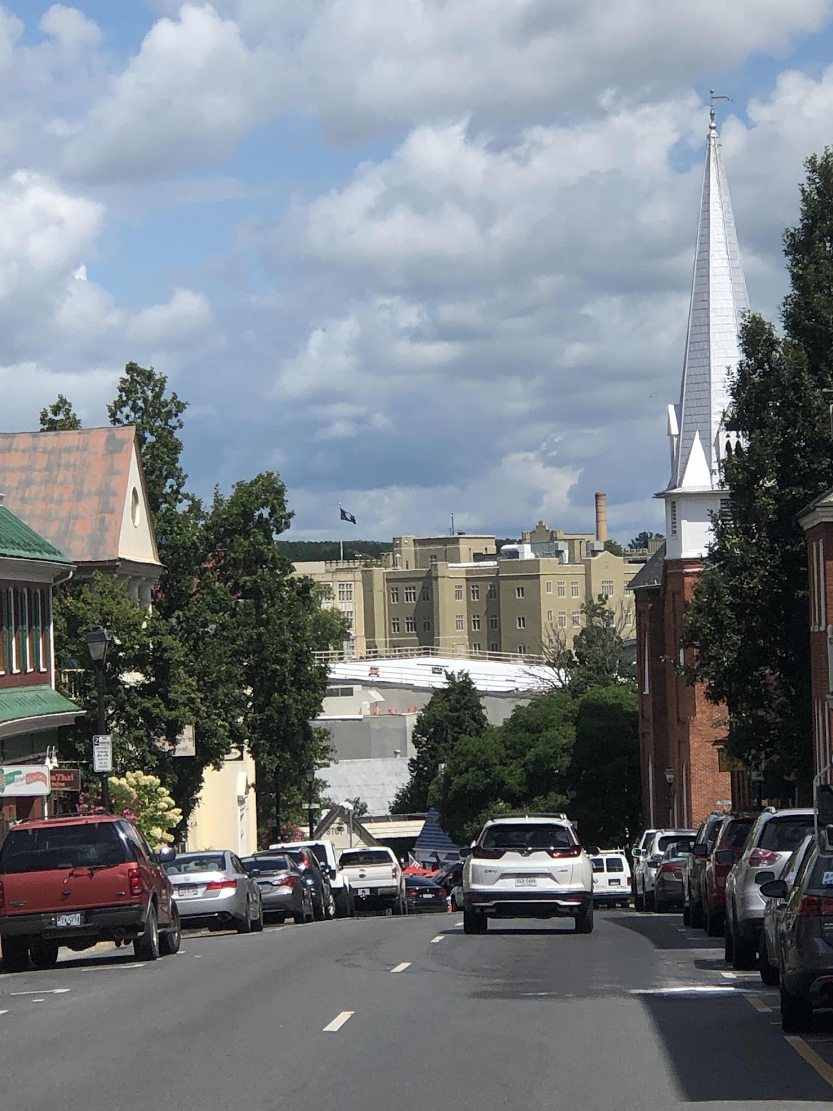
That’s VMI in the distance. Lots of traffic, and uniformed “cadets”(?). VMI is huge! Went by the “Corps Physical Training Facility”. Isn’t that just a fancy name for the gym?

Anyway, we made it to the hotel at 1:30. There wasn’t a ready room quite yet (30 minutes), so we went over to Dairy Queen as we hadn’t had any lunch. While we were eating, a couple came in when they saw our bikes outside. Geoff and Jennifer live in Louisville. Geoff has done the Adirondacks, and wants to do more touring. We had a great time chatting with them. It’s fun when people come to talk to you because they see you are touring. My son, Dillon, has an audition in Louisville. If he gets the position, I’ll not only have him to visit, but my new friends too!

There’s no laundry at the BW, but the Holiday Inn Express lets BW customers do laundry (and it’s right next to the BW).

Tomorrow is the dreaded climb to the Blue Ridge Parkway. Once we are done with that, we’ll be done with the major climbs. 

T-Minus 5 days!


Monday, September 5, 2022

Day 88-Flap Flap Got to Come Out…For Awhile

We knew it was coming…the rain, that is. We had breakfast at Burger King. Not my favorite…but not much else to choose from on this Labor Day morning at 7:00AM. 

About a half mile into the day and we finished Map 11. That means we are now on the last map!

Had it not been raining, we would have done a celebratory dance. This selfie with Doug riding off is the best we could muster. 

The only opportunity for food today was just 7 miles in. I grabbed a snack for later, and an extra 500ml of water. I don’t usually drink much when it’s raining, but raining and 70 degrees all while going up and down (like we’ve been doing for days) caused a bit more sweating, than just plain ol’ rain. 


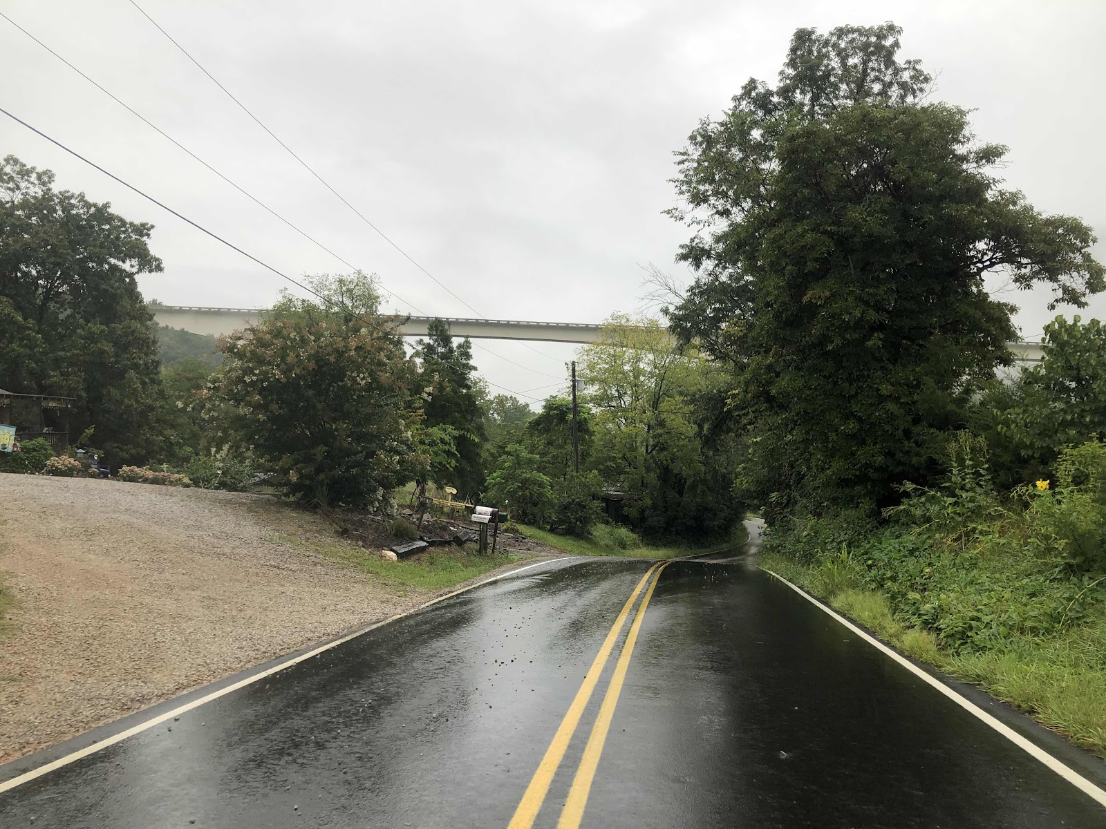
There was this really high bridge that I couldn’t tell on my map what road it was. It probably went to Roanoke, as many of the main roads around here do. 

Rain had let up, so I took Flap Flap off. Of course, as soon as we both took our rain gear off, it started raining again. Since my sleeves were already wet from sweat, I just decided to not worry about it. It didn’t really rain hard anyway. 

When I got to Catawba, and turned onto the road that would go to Daleville, I realized I had been on this road twice before! When we did the AT, we stayed at Four Pines Hostel. This was when we hiked through a tropical storm. The next day, the creek we would have to cross was flooded, so we had the guy at the hostel shuttle us to Daleville where we then hiked southbound back to Four Pines. When we returned to the hostel, the guy shuttled us back to Daleville. So, I was on this road, in a car, twice. And now…on a bike. 


Don’t remember seeing this, but I thought it was cute. 

The AT is up on the top of the ridge. That’s the Tinker Cliffs area. 

I had been ahead of Doug since mile 20. I rolled into Daleville at 45ish miles, and Doug still hadn’t caught up to me. I got something to eat at the gas station. There was no place to sit, and it had started to rain again. I drank one of those Naked smoothies, and packed the wrap in my pannier. The finish for today was just a few miles away in Troutville at the city park, and I knew there was a shelter there. Still no Doug. 

I arrived at the park just a little after 1:00. It’s a nice park. This being a holiday, the first thing I checked was if the restrooms were open. They were, then I rolled over to the shelter. It said no entrance, only by reservation. Well, it didn’t look like anyone was going to be here on this rainy Labor Day, so I rolled on in. I texted Doug to let him know I was at the park. About 30 minutes later, he rolled in. He said he was delayed a bit today…something he ate…

There’s a little market close to the park. It closed at 5:00 today, so we went over to get something for dinner. The clerk, Pam, and the other woman working there, Paige, asked if we were riding across the country. Then they asked if we were staying at the park. I told her I had called the number on our map, but could only leave a message. Paige asked if I had seen the showers. What??? There are showers??? She got on the phone and called Skeets. He said he’d come over and unlock the shower building. Wow! You gotta love a small town!!! 

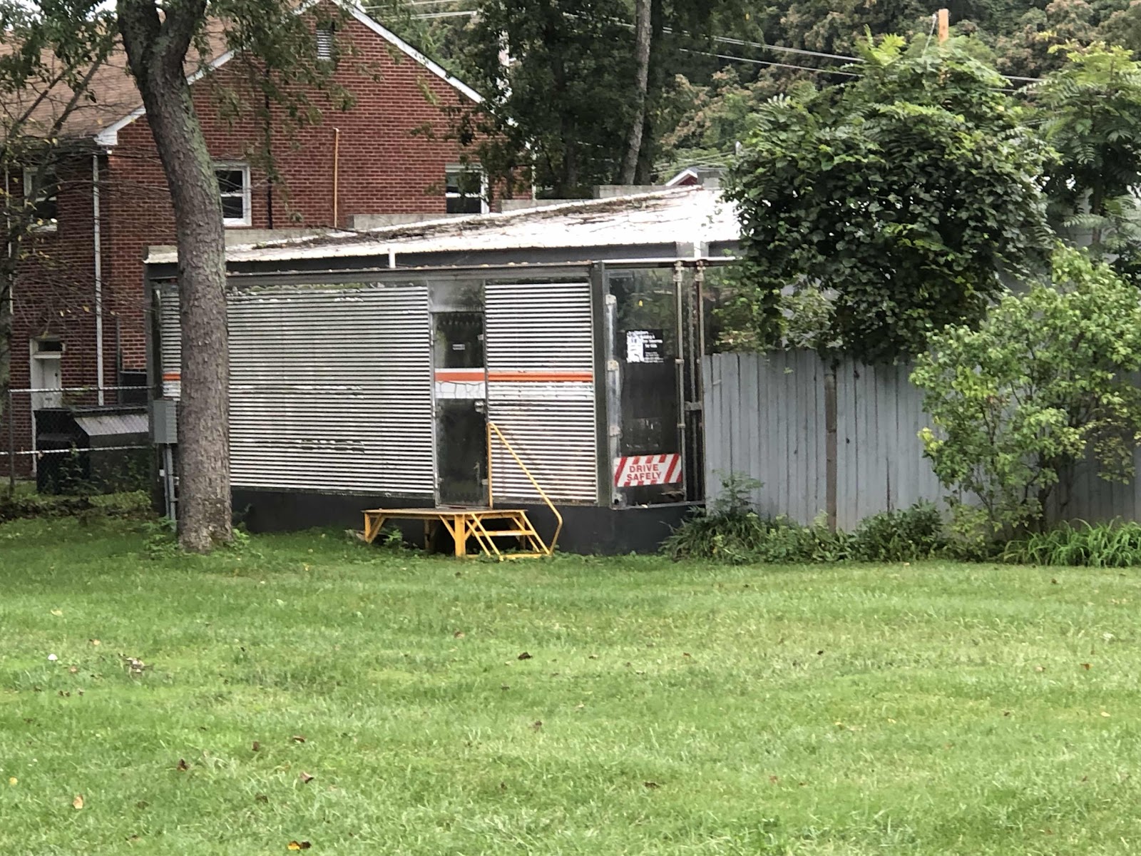
Skeets unlocked the showers. It’s a former refrigerator trailer (so, insulated for winter) that they turned into a shower building. 

They put it in mostly for the AT hikers as the AT is not far from here. But, it is right on the Trans Am route. They do a big Trail Days weekend in June. The park gets taken over by AT hikers. Of course, when we did the AT, none of that happened due to COVID. 

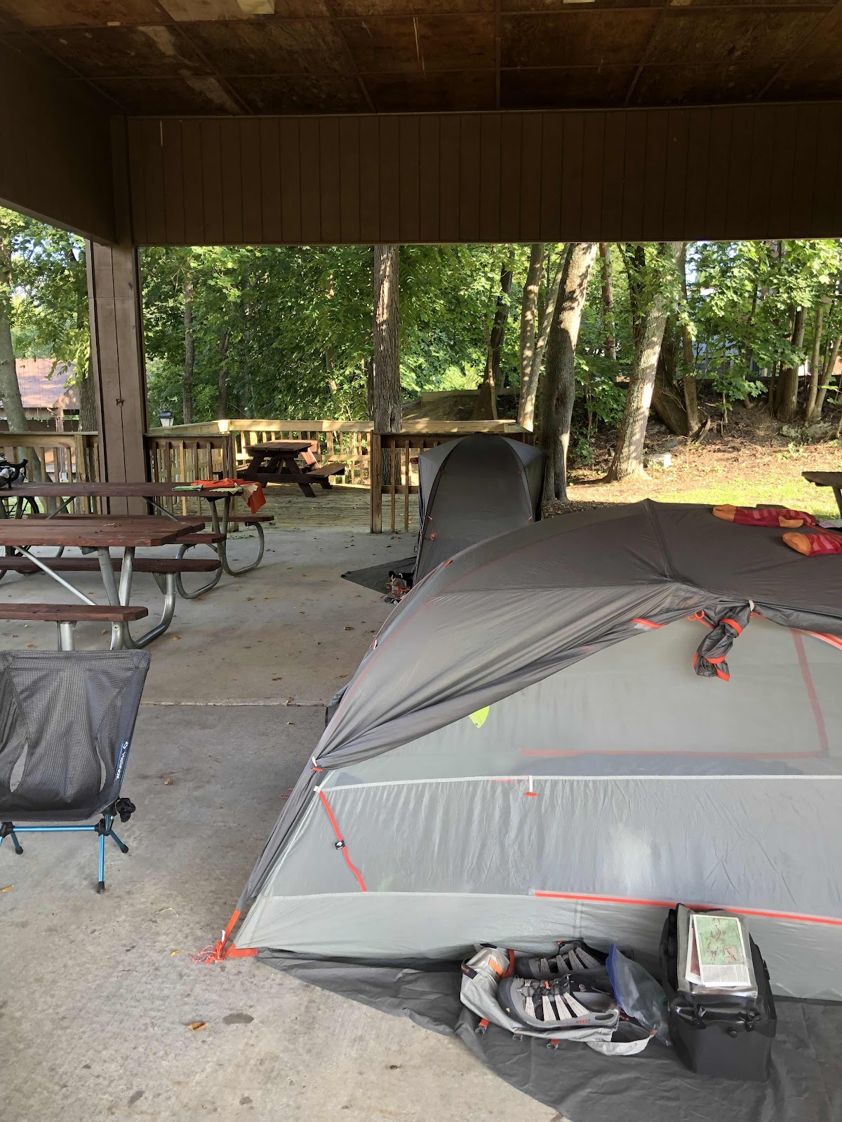
Skeets said we could set up in the shelter. We’ve got more rain tonight (supposed to stop by 7:00am tomorrow). 


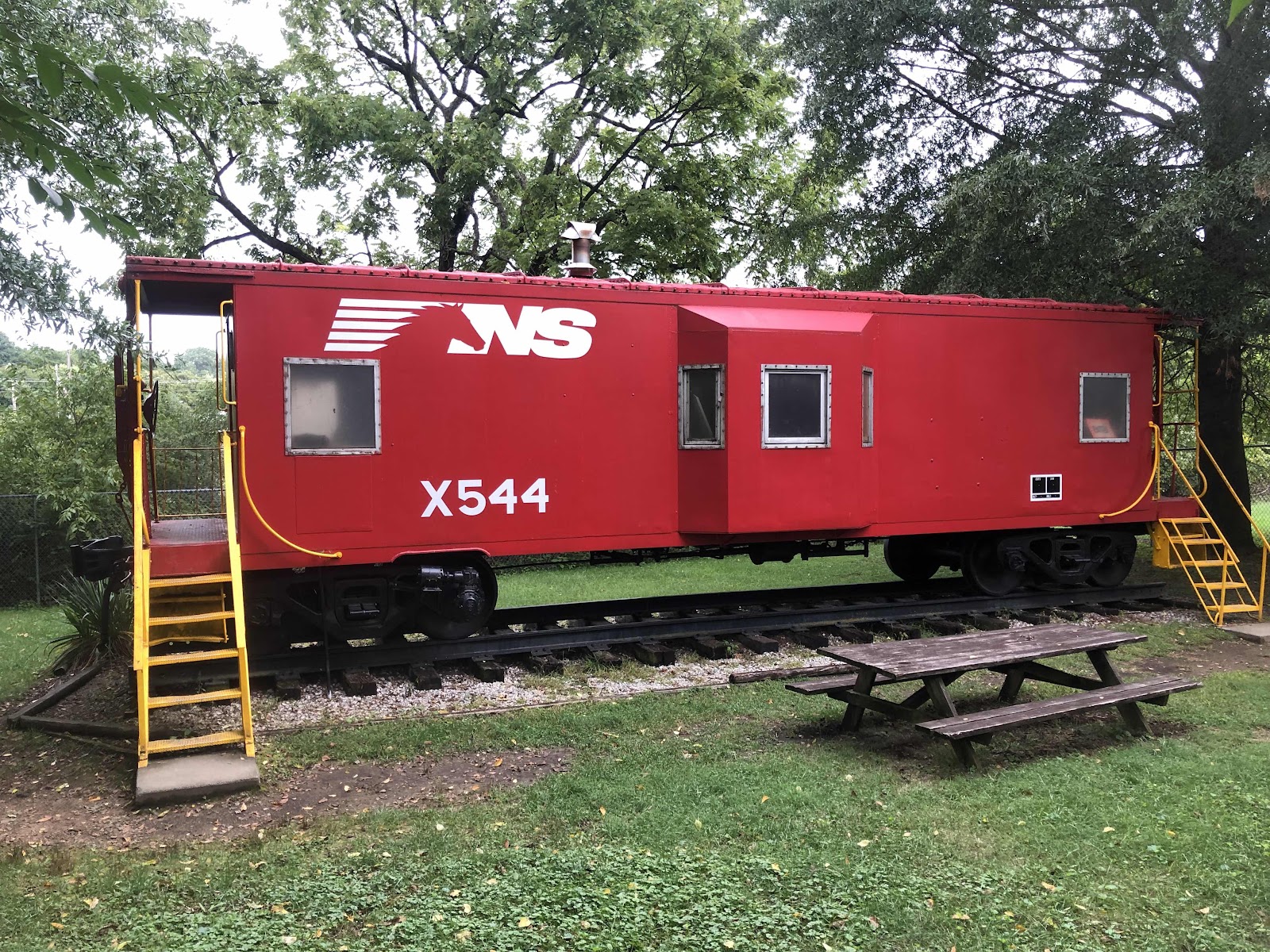
The only downside to this place is the trains. Skeets warned us. There’s two crossings, and due to an accident awhile back, they give extra blasts of the whistle. One train already went by…oh yeah…gonna have to peel myself off the roof of my tent if one goes by while I’m sleeping! There’s even a caboose in the park. 

Nice and quiet, that one. 

We talked to Skeets for quite awhile. It made me think of something. So many of these small town city parks are taken care of by folks like Skeets. He is 78 years old. He has made this park what it is with a lot of heart and dedication. Who’s going to take over when he’s gone? Who will care as much? Skeets said the current city council is not really interested in the hikers and cyclists (although, he’s hoping with the next election that some of them will be gone). This park is a great community resource. We’ve seen lots of people here, including Pete, who was walking loops of the 1/4 mile trail around the park to get in shape for a Colorado hunting trip in November (he’d talk to me on every pass). There was another 86 year old gentleman doing his loops too. 

So, the lucky horseshoe was at it again! We ve had great showers, and we’re protected from the rain!

T-minus 6 days!


Sunday, September 4, 2022

Day 87-All Up and Down All Day…Oh, and a Bit of Rain

Wow, it really was totally an up and down day! A lot of the ups were kinda steep! Actually, it’s no surprise. We are still in the Appalachian Mountains. I think we have three more days of this climby stuff. 

Today was a little shorter at 54 miles, but still 3600+ elevation gain. There was only one spot where I swiped my Garmin screen to the elevation, and it said 0%. That was when we were going along the New River into Radford. 

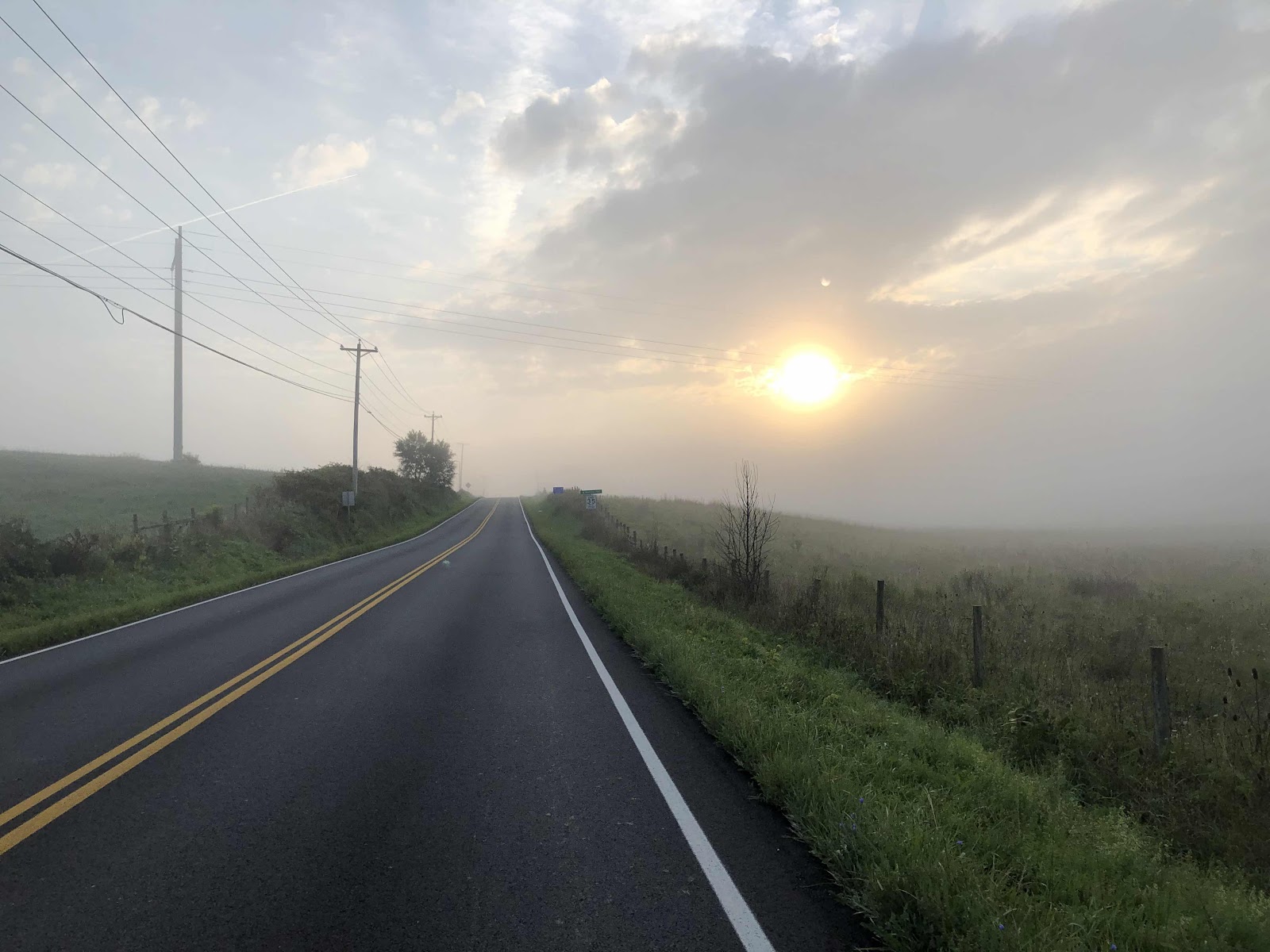
Foggy sun. 

Can’t even make out the hills. 

The top of one of the climbs. Both Doug and I stopped for this view. 

We stopped at a convenience store that was also a bus stop for Greyhound. The bus rolled in. It was tempting, but it was going to Charlottesville, NC. 

We rolled through Radford, looking for some lunch. Since it’s Sunday (and a holiday weekend too), not much was open. We ended up at a grocery market/“restaurant “ just outside of town. They did a have pretty wide selection, but both Doug and I just had a hotdog (I could have eaten two). 

I was glad I didn’t eat too much because shortly after, we had a very steep (where I’m thinking…am I going to have to walk this??? NO! Just…keep…pedaling!) hill. I was zig-zagging back and forth really hoping no car would come. 

Doug passed me on another hill. He is much faster on the uphills (probably due to his bike weighing substantially less). The map panel we were on was the detail map for Radford. The route came to a “T”. I looked right, and could see Doug making his way up the road. I looked at the map. I read the narrative. It said, “At “T”, turn left onto 664”. I looked at the street sign. Yep, it was 664. Why did Doug go right? I read it again. Definitely supposed to go left. So, I did. There was no point in trying to chase him down, as I would never catch him. I figured he would eventually realize he was going the wrong way. 

The weather was looking a bit ominous. It started to sprinkle, then quite. A little later, it rained a bit heavier, but then stopped. 

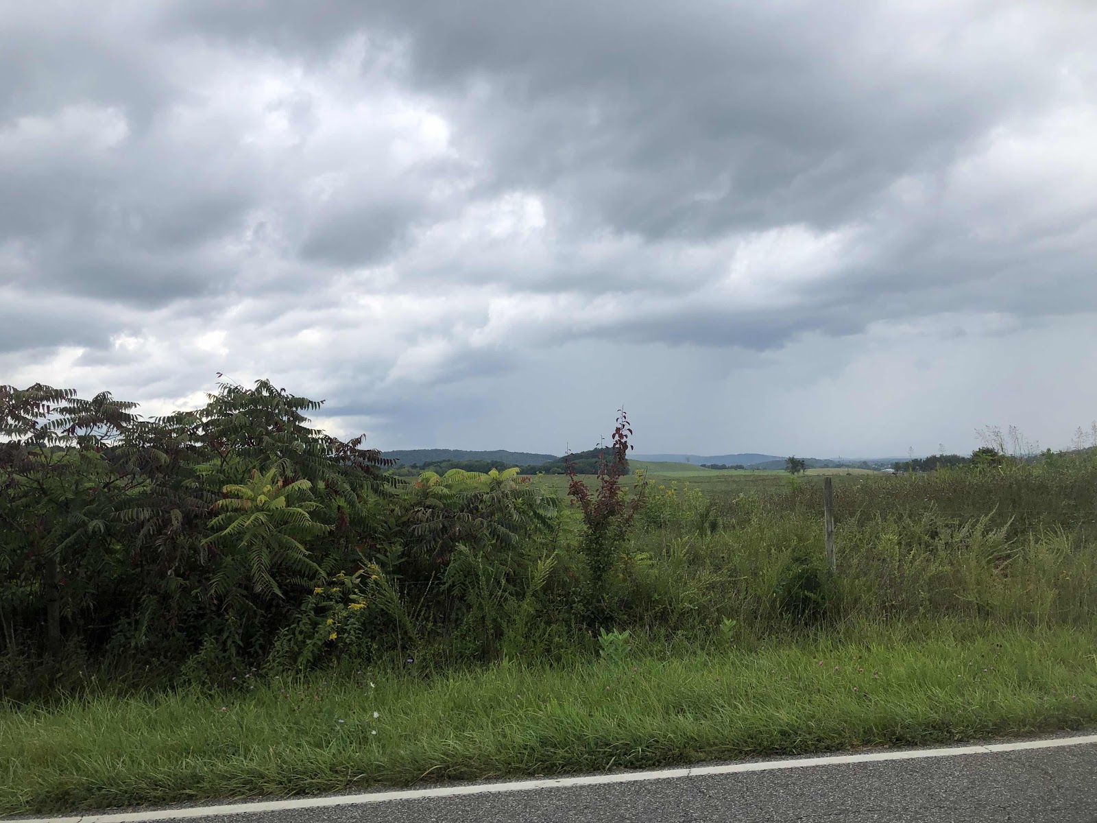
Um…that looks like rain in the distance. 

We had planned to stay in a motel in Christianburg. I made my way to the motel closest to the route, which is a Budget Inn. Just as I was wheeling over to the room, Doug showed up! He had gone about a half mile before he realized things weren’t matching. Just after we got into the room, the rain started really coming down. I’d say it was a fortuitous decision to stay in a motel tonight (also, there is no place to camp in. Christianburg). Unfortunately, the weather doesn’t look great for the next few days. Flap Flap the Duck might have to come out of the depths of my pannier. 

Sorry there’s not many photos. It is pretty, but all stuff we’ve seen before. 

T-minus one week!


Saturday, September 3, 2022

Day 86-It’s Grayson’s 8th Birthday, and We Have 8 Days Left!

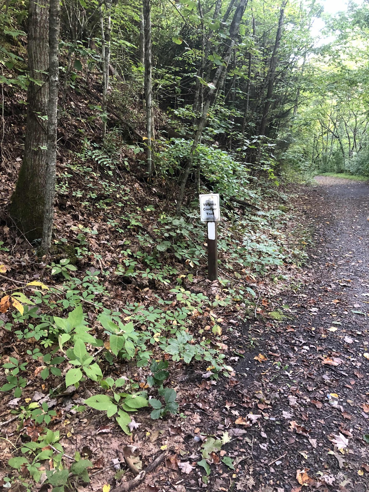
We left the Broken Fiddle right at 7:00 this morning. We got on the Virginia Creeper Trail right in town. 

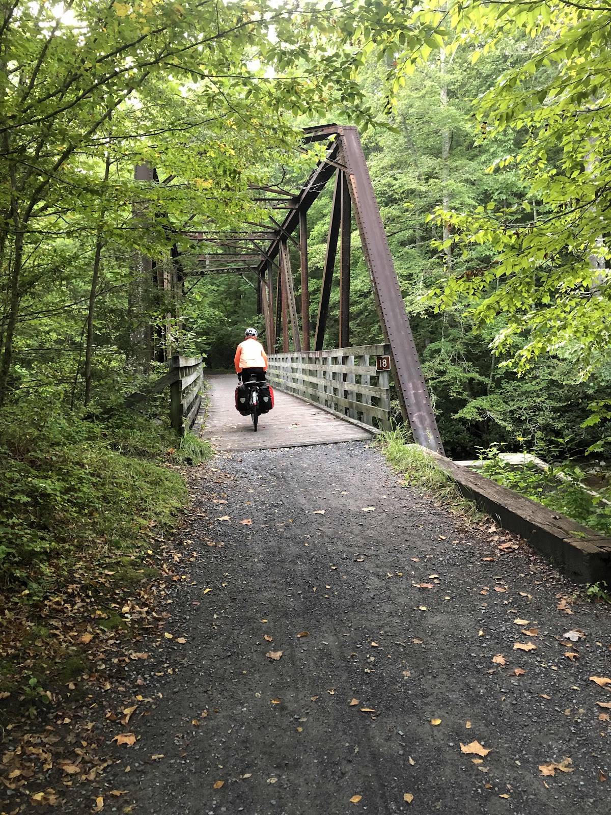
I had to switch to my regular glasses because it was a little dark in the trees! I also have to say, it was a tiny bit nerve wracking until either I got used to it, or it got lighter…I don’t know. The trail is a cross between the Willapa Hills Trail, and the Palouse to Cascades. Maybe more P2C. We did follow a creek for the entire time we were on it (11 miles). There are numerous bridges/trestles. 


The surface is advertised as crushed limestone, but it is really a bit more rough than that. There are some roots and rocks to watch out for, as well as some muddy spots. Overall, it was a good alternative because…no cars, but it was a bit longer, and probably slower than if we’d stayed on the road. Near where we got off the trail, the AT joined. Perception is interesting. When we did the AT, I thought the VCT was really wide…like a road. Nope, it’s really just railroad wide. I guess, compared to the AT, it is wide. 

Here, through this field, it was even a double track. 

AT white blaze. This was where we got off at a trailhead to head out to the road. 

We were almost to the trailhead parking lot when Doug’s bike made an awful sound, and he bailed off of it like he hit an ejection button! His front tire must have picked up a rock that got caught in the fender. It totally destroyed the fender. 

The stay on the other side was completely pulled out of the mount by the skewer. The bottom of the fender was totally broken. He took the fender off. Fortunately, at the trailhead parking, there was a trash can. No more front fender for Doug. 

Back on the road, we weren’t far from Konnarock. We stopped in at the grocery, and had a morning snack. The owner said the road was pretty flat, even though our map showed a climb. While it wasn’t flat, it wasn’t a steep climb either. Yay!

The spot where there was more of a climb, was up to the Mt. Rogers trailhead parking. It was right where we crossed into yet another Grayson County. This happens to be close to the Grayson Highlands which we hiked through on the AT (it’s where the wild ponies are). Today happens to be my grandson, Grayson’s, 8th birthday. 

I sent this photo to him. We also have just 8 days until we finish. So, 8 was quite an auspicious number today!

There was a nice long downhill (with just a few ups) into Sugar Grove. We got “lunch” at the Dollar General. Actually, I just got a bottle of Gatorade, and ate a Pro Meal bar that I had in my pannier. They have a ton of calories. 

We continued on, trending down, but doing multiple rollercoaster hills. 

Around the corner, and up. 

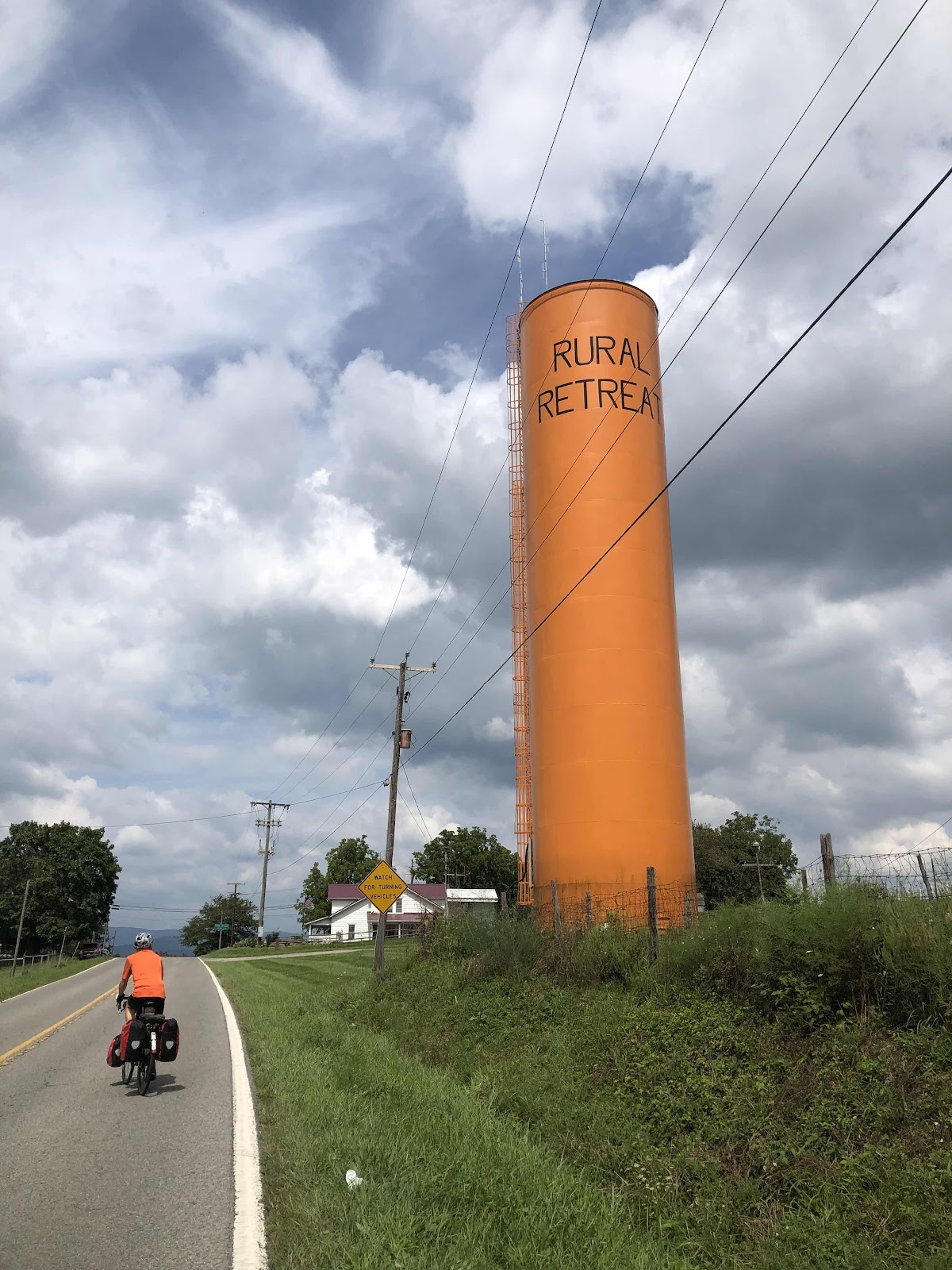
We came into a town called Rural Retreat. 

Look! Doug matches the water tower!

One final snack, and we were back on the road for 11 more miles to Wytheville. Now, you might think it is pronounced “Whythville”. Nope…it’s pronounced “With-ville”. 

We found the city park, Elizabeth Brown Memorial Park, called the Community Center to check in, and then went over to the nearby police station to get the keys for the restrooms. Except, the police station lobby was closed. I called the number on the door, and eventually an officer came out and said another officer had unlocked the doors. Excellent! Unfortunately, he didn’t turn the lights on. Oh well…that’s what headlamps are for! I heated up some water, did a sink bath with my headlamp on, and now I’m fresh as a daisy (that was maybe picked two days ago). The park is very sloped, so we have set up our tents in the picnic shelter. 

We are hoping against hope that the lights don’t come on in the shelter tonight…

T-Minus 8 Days!