I got up a bit later. I think I was just tired from all the pre-buttcrack of dawn risings (but the sunrises have been awesome).
We left about 8:45, and returned for another 16ish miles on the Bill Nicholls Trail. By the way, if anyone can tell us who Bill Nicholls is/was, we’d be interested to know (Curtis, I’m looking at you).
The rain changed the sand a bit. In some ways it was easier; in others it was slower going. We, of course, had to dodge a few puddles. There three “steel trestles”.

Billy o’ the bridge.

It was a surprising distance down!

It’s like we were the treetops.

Lani riding

There was a bit of road, then another trestle that went over another deep canyon.

Then a third one.
We got off the last bit of the trail to go into Mass City, where we got something to drink, and I got a snack. Mass City is a small town who’s main industry is logging. There is also a copper mine (the Adventure Mine), but I didn’t get the impression it was still functioning. There are tours though.
We climbed out of Mass City and got on the Caledonia Rd. This is where the day’s climbing began (the Nicholls Trail was pancake flat). The route noted that there was a rocky section. The part that was downhill was fine (a teensy bit scary). One prolonged section of uphill had me off pushing. Ten steps…stop and breathe…ten steps…stop and breathe. Eventually, as all climbs do, it topped out, and I was able to ride again. We finally got a downhill and popped out into Rockland (appropriate name, I think). We went to the general store for more cold drinks. I was thinking to get something for lunch, but there wasn’t anything I didn’t already have. We took our drinks to the Community Park.

Nice little park.
The lady at the store said it was all downhill from there. It was a super fun downhill to the Ontonagon River. She must have forgotten about the hill on the other side. The first bit was 14%!
In the middle of the climb we came to Old Victoria. It’s another mining town. Patty happened to be there, and gave us some of the history. She volunteers there. I was more interested in why she volunteers. She said she enjoys talking to different people. She has ancestors that lived in the town.

The museum.

Some of the other houses.
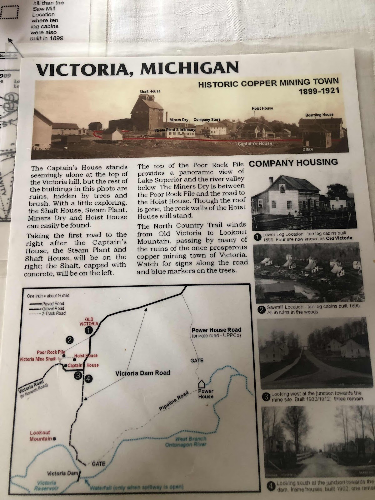
Info about the town.
We finished the climb, and even went by a few houses. They didn’t look like they were from the mining town, but I suppose they could have been rebuilt on mine town property.
We continued going up and down. Patty told us what range we were in, but I can’t remember the name (started with an “F”…I think).

Mountains in the distance.

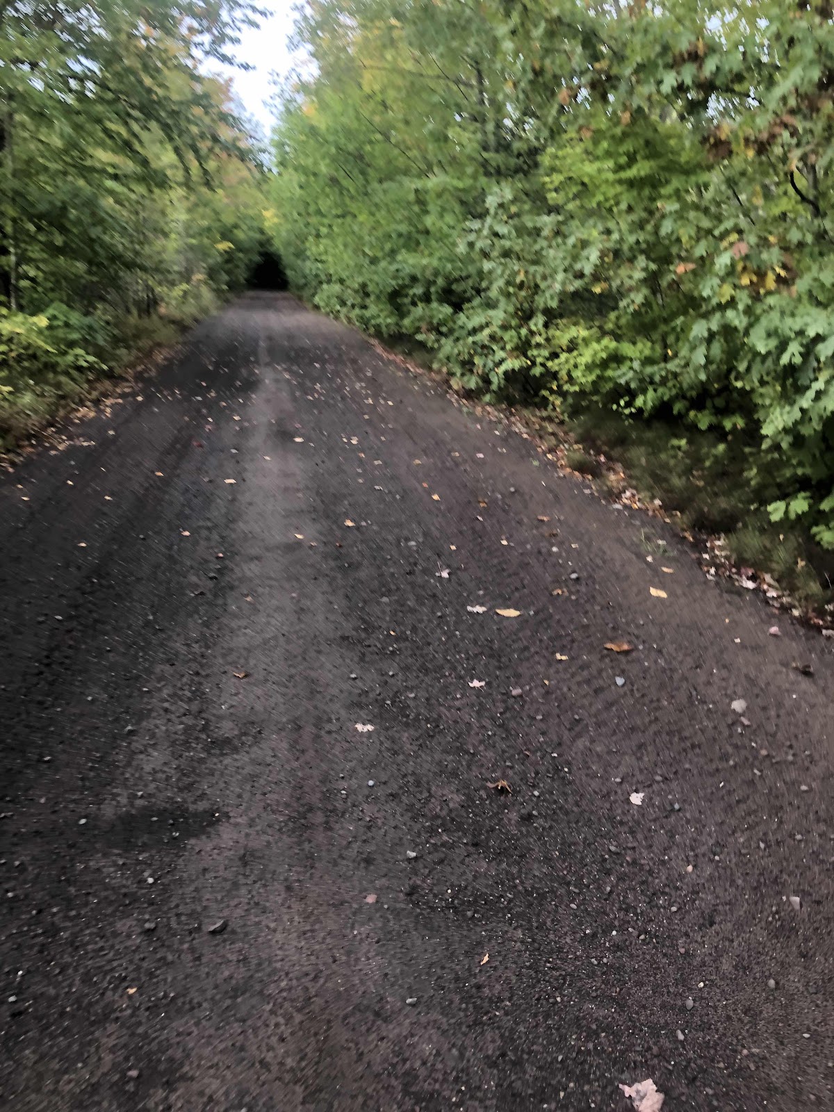
Straight road!
We started looking for water (for me, Lani had all she needed) around Mile 36. I use more water, so I need to camp near a water source. We weren’t having much luck. Creeks were either dry, or too difficult to get to.
We could see a creek crossing on FS400 (off the route about 1/4 mile). We checked it out, and I figured I could get down to the trickle of water coming out of the culvert pipe.
There was a closed road nearby. It was overgrown. Lani pushed through to a somewhat “open” space (more open after breaking off a bunch of dead branches). I’ll be honest, I’m all for dispersed camping, but this was not the kind of dispersed camping I’m accustomed to. There was barely room for my tent, and I could only stake out one side. Lani loves it, though.

I was able to get water, so I had enough to be able to cook, and have water for the next morning.
We did about 40+ miles and 2800 feet of climbing.
No comments:
Post a Comment