First off, it was the coldest morning we’ve had so far. When we headed out, it was 44 degrees. While we were packing up, I saw a coyote running through the woods (I think it was too small to be a wolf). Lani saw a whitetail deer. Maybe the coyote was after the deer?
Our first goal was to go to Interstate Falls. We parked the bikes, and hiked the trail to the falls.
Interstate Falls.

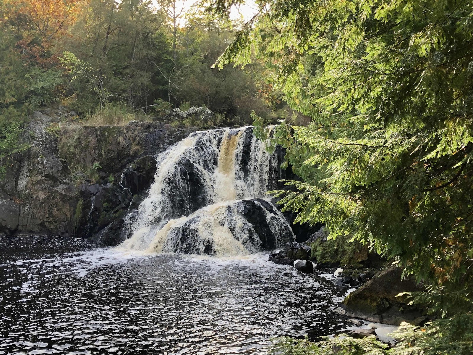
Falls #2 of the Wisconsin Waterfalls Loop (that we went to).
Then we were off to Rock Cut Falls (skipping one that didn’t seem worth it). Well, we got to the turn for the Falls, and saw it was an overgrown ATV trail. Having flashbacks of our bushwhack down to Lake Superior before Grand Marais, we decided not to do that one either.
On our way to Saxon Falls, we passed by theses two barns.


I called this one the “Fisher Price” barn…you know…the FP toy barn with the silo. This even had a red pickup, and a red tractor.
We arrived at Saxon Falls and rode down a very steep road to get to the Falls.

Falls #3. They weren’t that impressive. We went to the dam where the view was supposed to be better.

Uh…not exactly. FYI, that’s Michigan across the Montreal River.

The lake behind the dam.
We rode back out to the road. Now we were heading to Superior Falls. Along the way I spotted a flock of turkeys crossing the road. I tried to get a photo, but they were too fast. Earlier, I had seen another coyote run across the road. Shaping up to be quite the day for wildlife. Later I did see these two turkeys.

Gobble gobble!
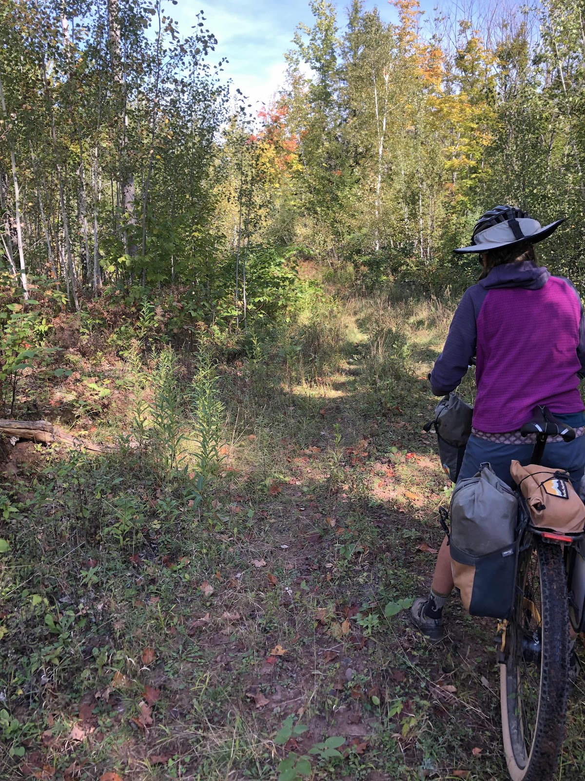
So, back to Superior Falls…the route took us through an overgrown, private property, ATV/snowmobile track. We were able to ride it, but I’m glad it wasn’t too long.
There were also some pokie plants. I was thankful I’d worn my tall socks today.
When we popped back out to the road, we went down and crossed the Montreal River. Surprise, we were back in Michigan (and the Eastern Time Zone)! Yes, on the Wisconsin Waterfalls Loop, Superior Falls is in Michigan! This was both mine and Lani’s favorite waterfall of the day.

It was a steep “concrete” path to the lake first.
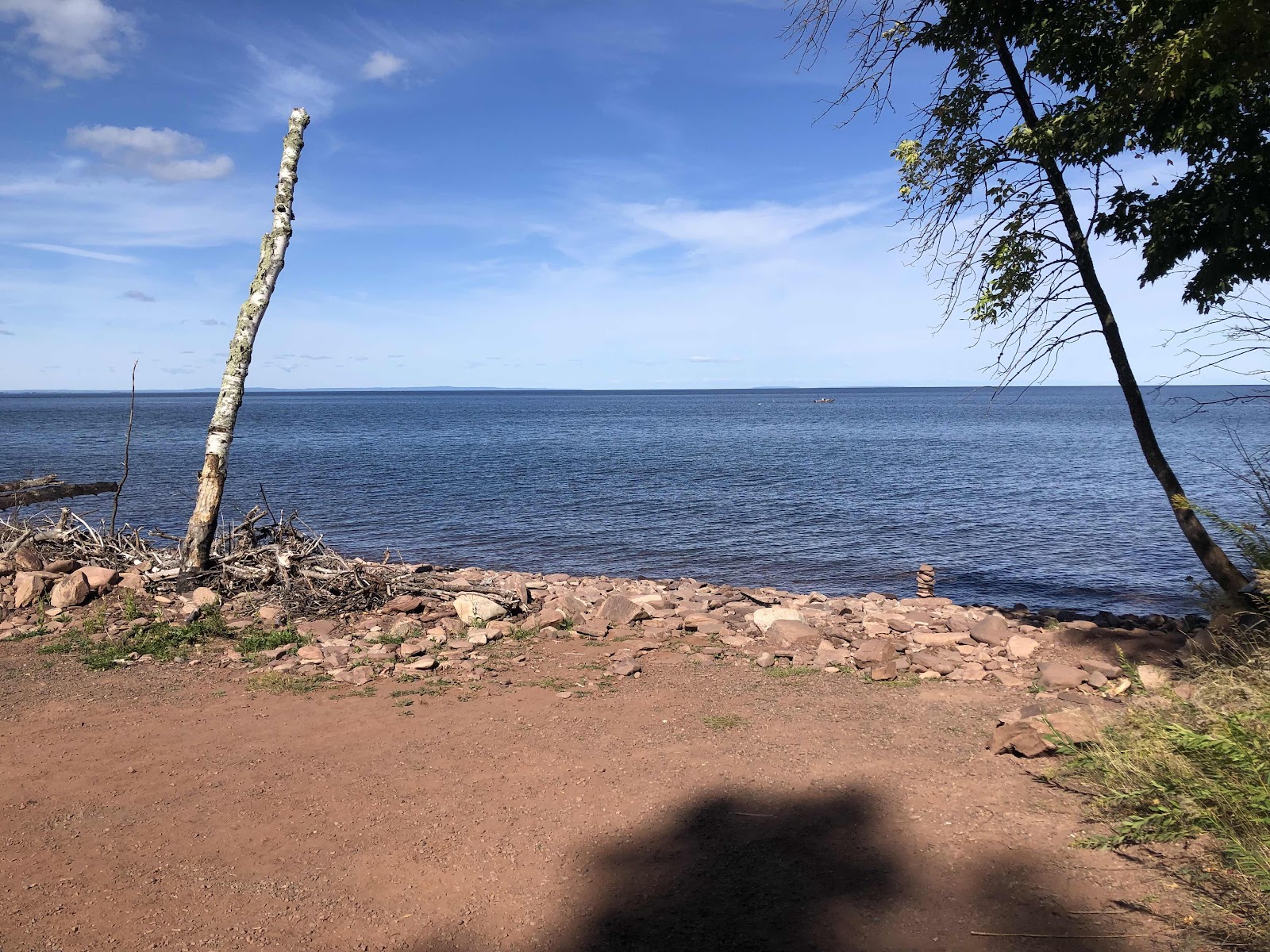
Look! ItsLake Superior…again!

Then we walked a path back to where the Falls were.

A little rock ledge walking.
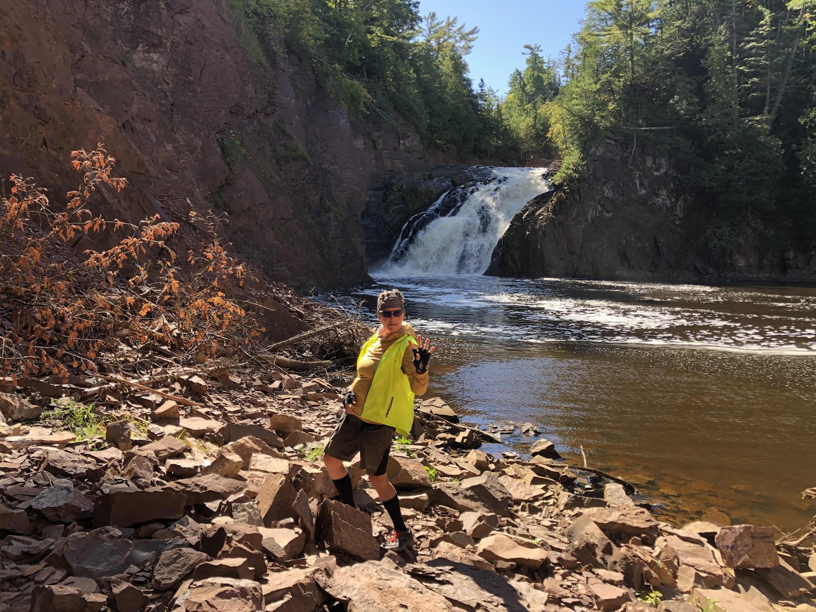
Superior Falls (#4)

The rock cliff behind Lani was quite impressive!
We returned to the bikes, and headed to Saxon Harbor. There was a bar there where we thought we would get a cold drink. Nope, it was closed. I still sat by the lake and ate some lunch.

Back to Wisconsin. This is the third Welcome to Wisconsin sign we have seen.
After lunch, we had a short, but very steep climb away from the lake. I managed to ride it, but just barely.
Our next Falls was Upper and Lower Potato Falls (on the Potato River). There was a campground (very primitive with just a few campsites…and free). We decided we would call it’s day there so we could hike to both of the Falls.
We came to a gas station/bar/RV park. We were finally able to get a cold drink. From there we could either take the paved road to Gurney, or continue on the route through a section that had a creek crossing. We opted for the road.

Another nice old barn.
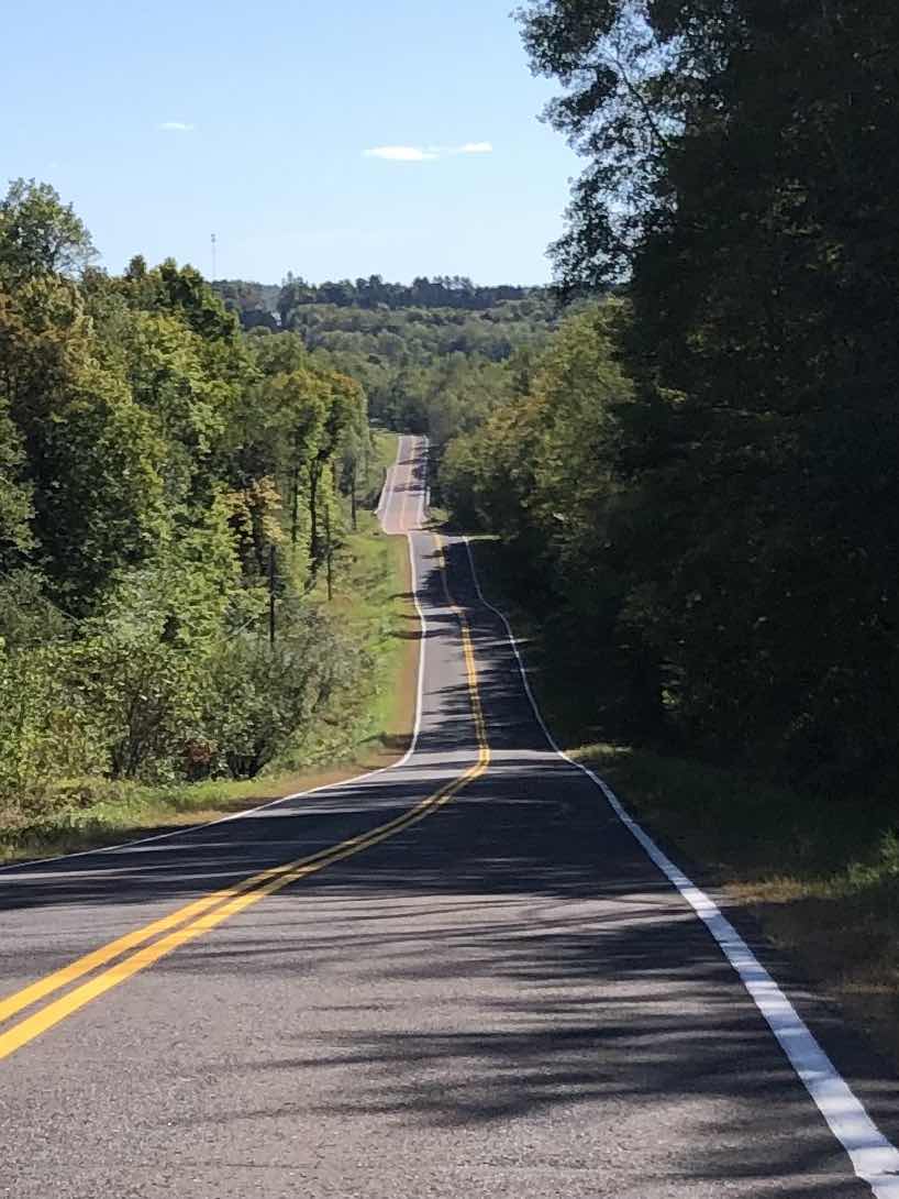
Rollercoaster road.
Lani said it felt like we were cheating. I said the route is merely a suggestion. At Gurney, we made the turn at the sign for Potato Falls Rd. It was a nice gravel road that brought us to the Falls parking and campground.
We parked our bikes in the first spot, set up our tents, and then hiked the trail to the Upper Falls first (we flipped a coin). There was a sign saying it was 131 stair steps to theUpper Falls.
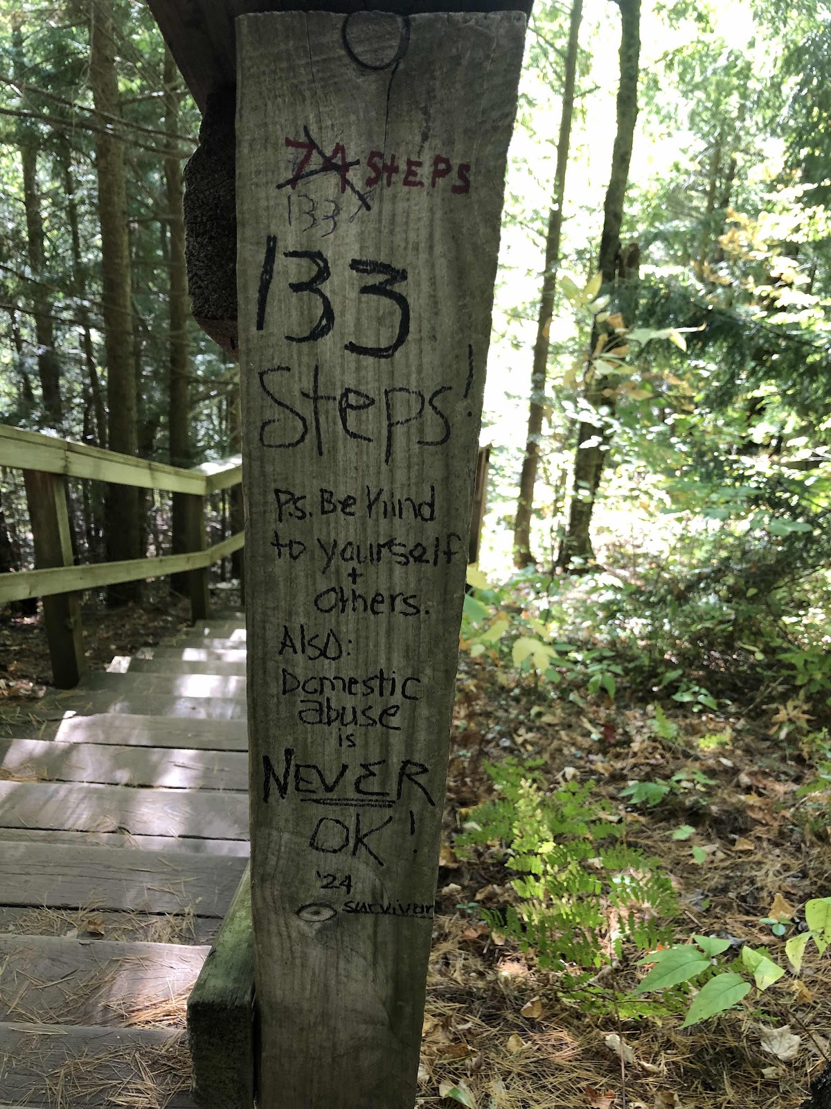
I don’t know where they got any of these numbers. The one closest was 74.

Upper Potato Falls…#5.
Supposedly, if one was so inclined, you could hike from the Upper Falls to the Lower Falls via a rather challenging trail. We were not so inclined.
We went back up the stairs (seemed like more going up…but , of course, it wasn’t), and headed to the Lower Falls trail. This one said it was 191 steps. I actually counted, and it was 205!

#6 (needed Lani’s finger)
I realized I didn’t have enough water. Nor did I bring my filter down with me. At first it didn’t matter because there was no way to get to the river. But then, we found another path (and several more stairs) that took us down to the river. I was going to have to go back up 205+ stairs, get my filter, go back down, and then go back up again. I decided I have enough water for tonight and the morning. We will go back down in the morning to get water for tomorrow’s ride.
Later, after dinner, I was walking to the potty shack when I saw two young guys with loaded bikepacking bikes. I asked them if they were doing the Wisconsin Waterfalls Loop. They were! Their names were Hogan and Calvin, and they had come from Milwaukee to do the loop. They had done the section Lani and I had skipped. They said it was gnarly with sand, mud, and the creek crossing. They had to take their shoes off, and getting up the other side of the creek was really steep and muddy. I was so glad we hadn’t done that part! When I got back to the campsite (Calvin and Hogan were pressing on to Wren Falls), I told Lani what the guys had said. We made the right choice!
So, that was today! While we didn’t go to every waterfall, we did go to 5 (6 total, counting yesterday’s Paterson Falls). We’ll see how many we get to tomorrow.
No comments:
Post a Comment