After a great night’s sleep at Sara and Crow’s, and a waffle breakfast by Sara, we loaded the remaining bits onto our bikes, and headed out. We made it out when we planned, just before 8:30.
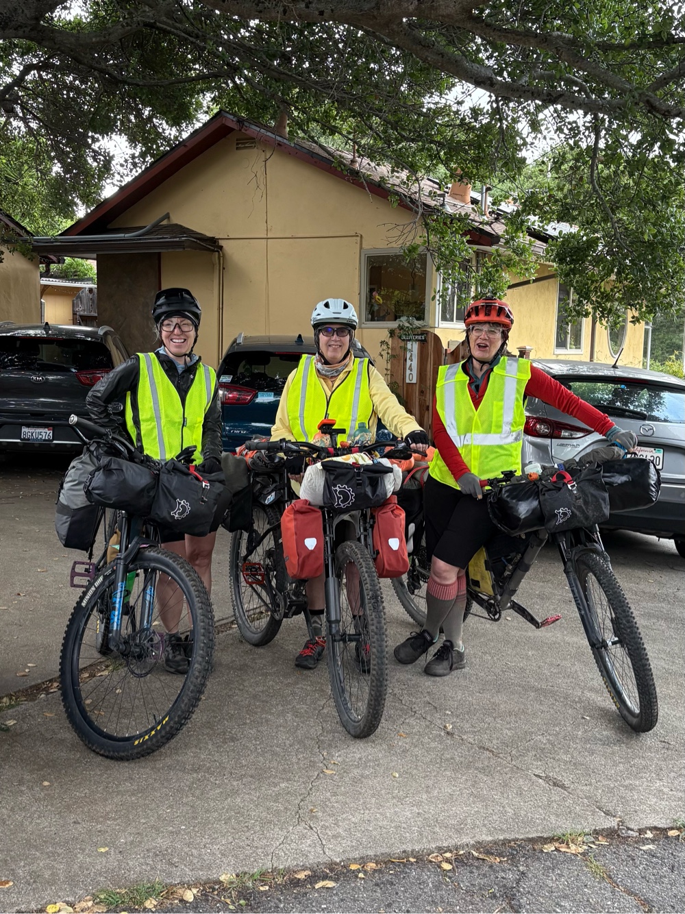
Crow took our photo (we almost forgot), and we were on our way. It was only about a half mile to the route, mostly all downhill. It was a bit on the chilly side, but warmer than it’s been at home.
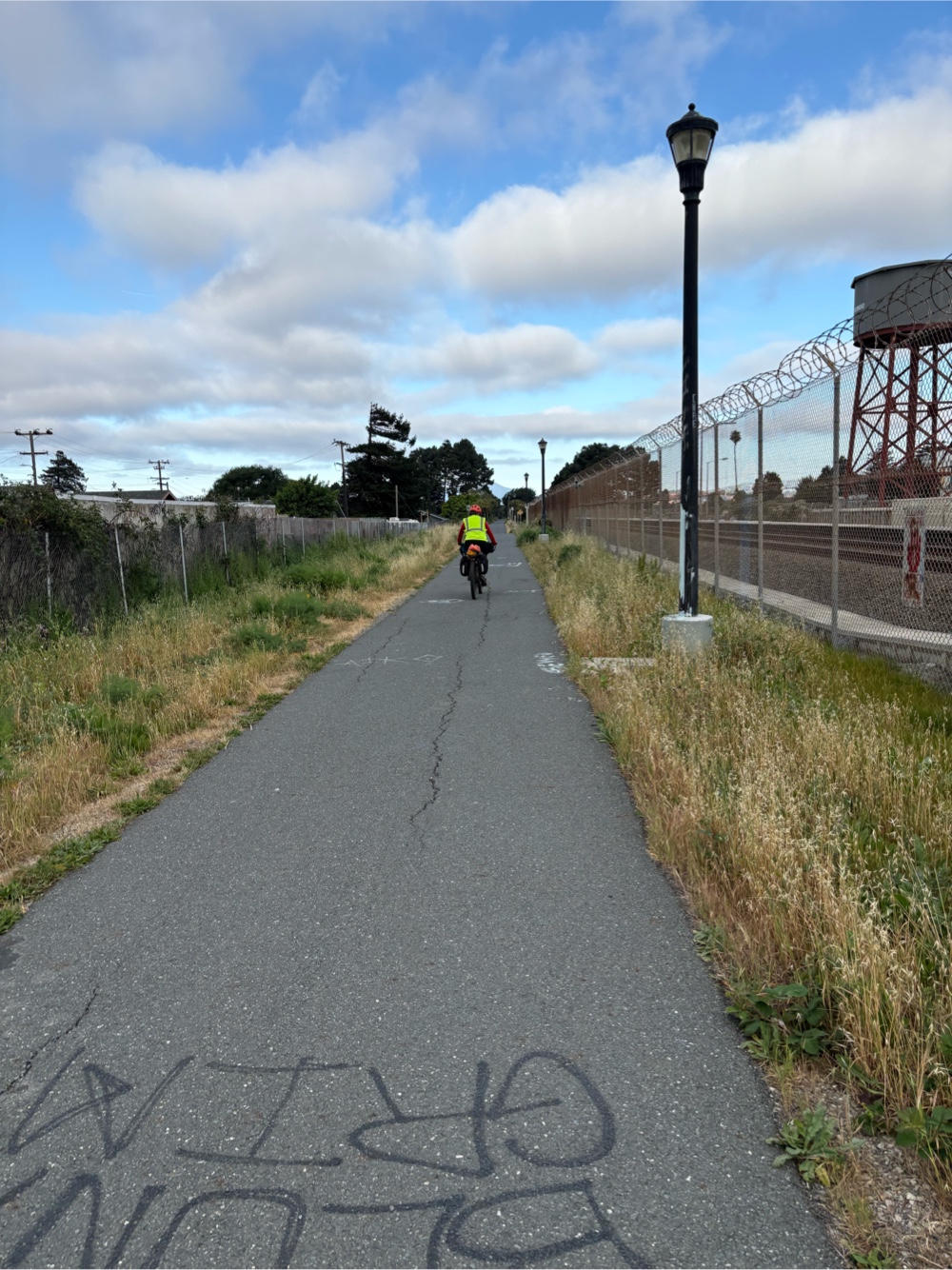
We were all thankful for our gps head units, because the navigation to the Richmond-San Rafael bridge had numerous turns. We were pretty much entirely on bike paths or bike lanes with the occasional “sharrows”.
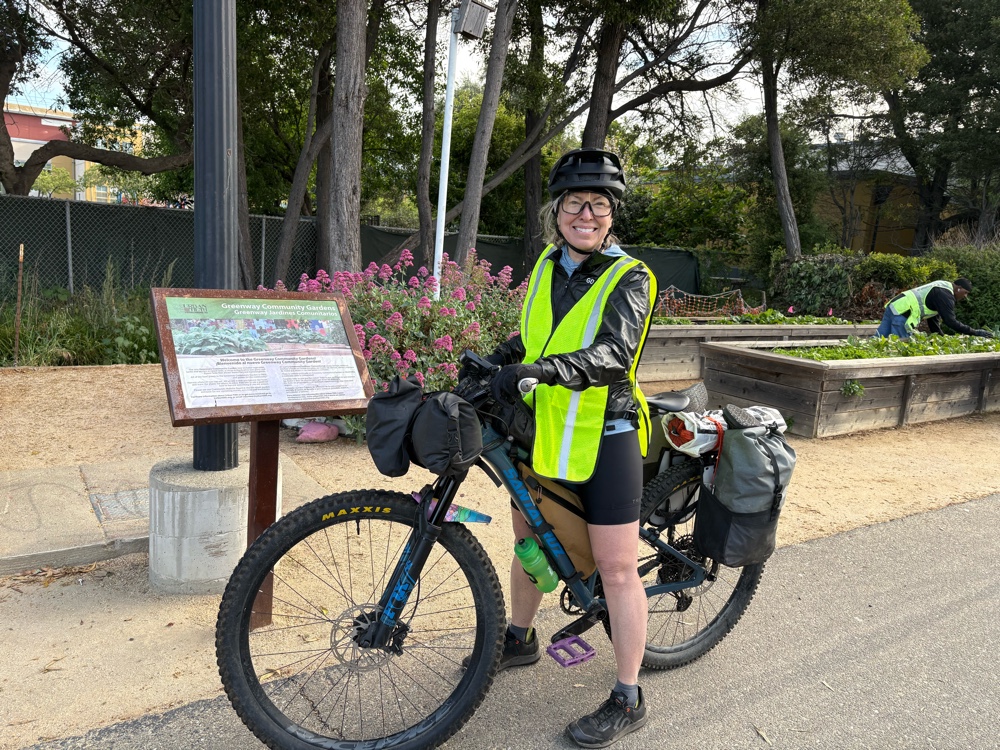
We came upon an awesome community garden. The worker showed us all the things they had growing.
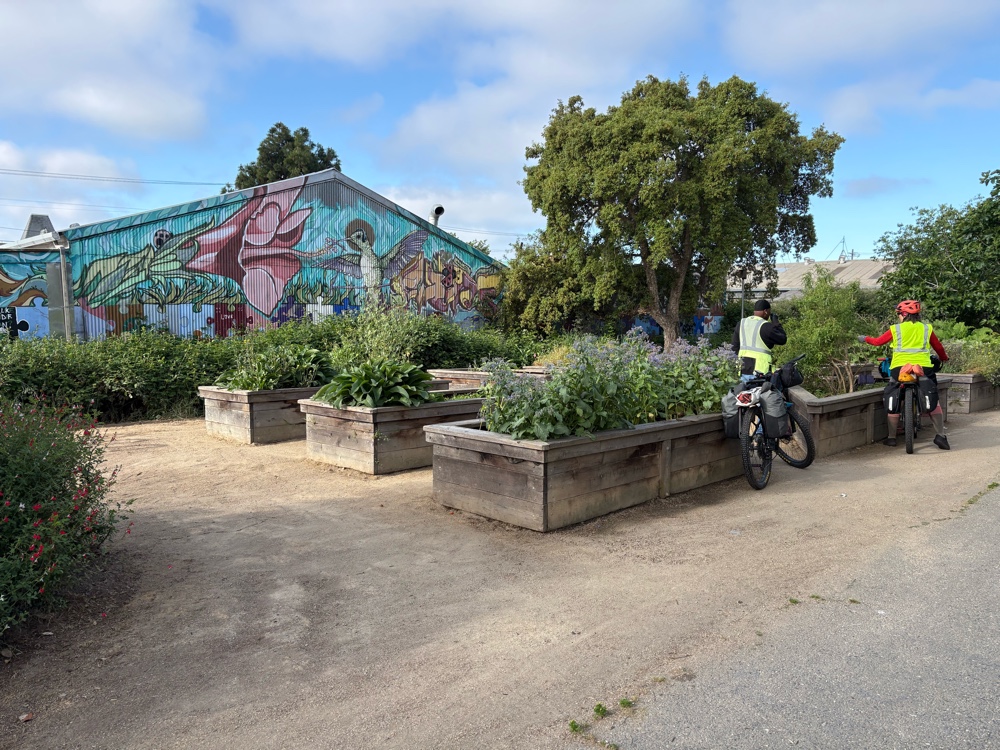 |
The lemon balm was very nice!
|
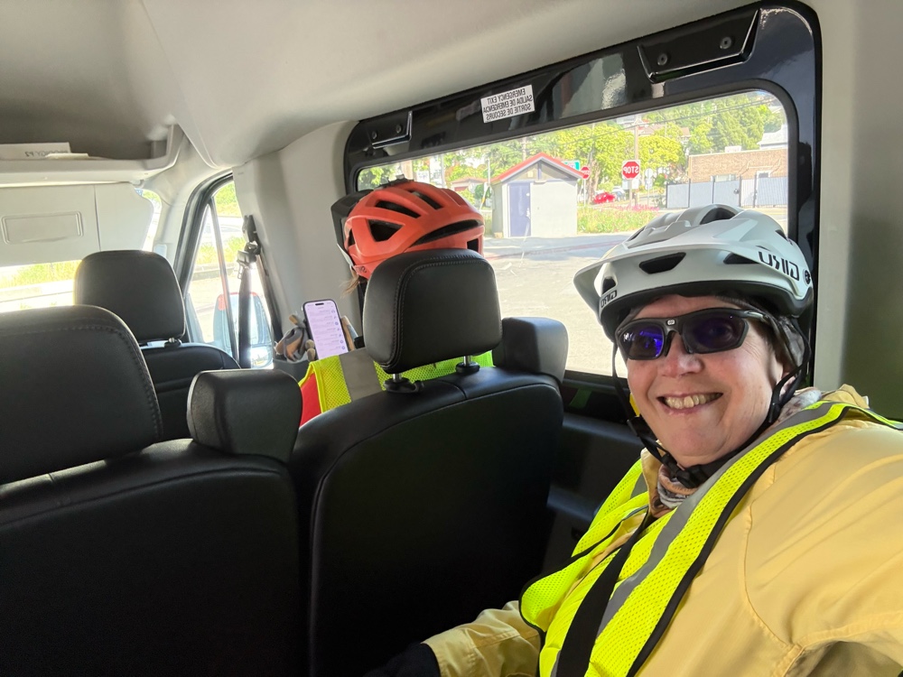
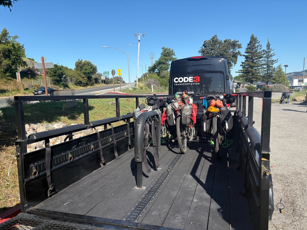
We continued on toward the bridge. As we arrived, there was a sign saying the path was closed, and there was a free shuttle. Well darn, we wouldn’t get to ride across the Bay today! We found the shuttle stop, and not even 5 minutes later the shuttle showed up. It was a van pulling a trailer (for the bikes). We loaded the bikes onto the trailer, and got in the van.
The crossing saved us a few miles of riding, but we were disappointed. The reason it was closed is because they are doing a pilot program where they push the bike path barriers to the side to create a break down lane on the bridge during certain days of the week.
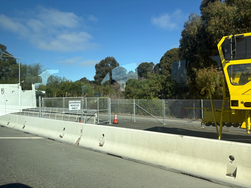
There’s a locked gate, and cameras if you try to ride it anyway. The pilot program is running for 3 years to see if there are less traffic issues on the bridge (in my opinion, if more people ride their bikes across the bridge, there wouldn’t be as many cars, and less accidents).
We off loaded at the other side, and continued on the route. We pulled into a town that I can’t remember the name. Catherine’s husband, Paul, was in the area, and offered to bring us donuts. We met him at Marin University campus. I was the only one who actually ate a donut. It was delicious.
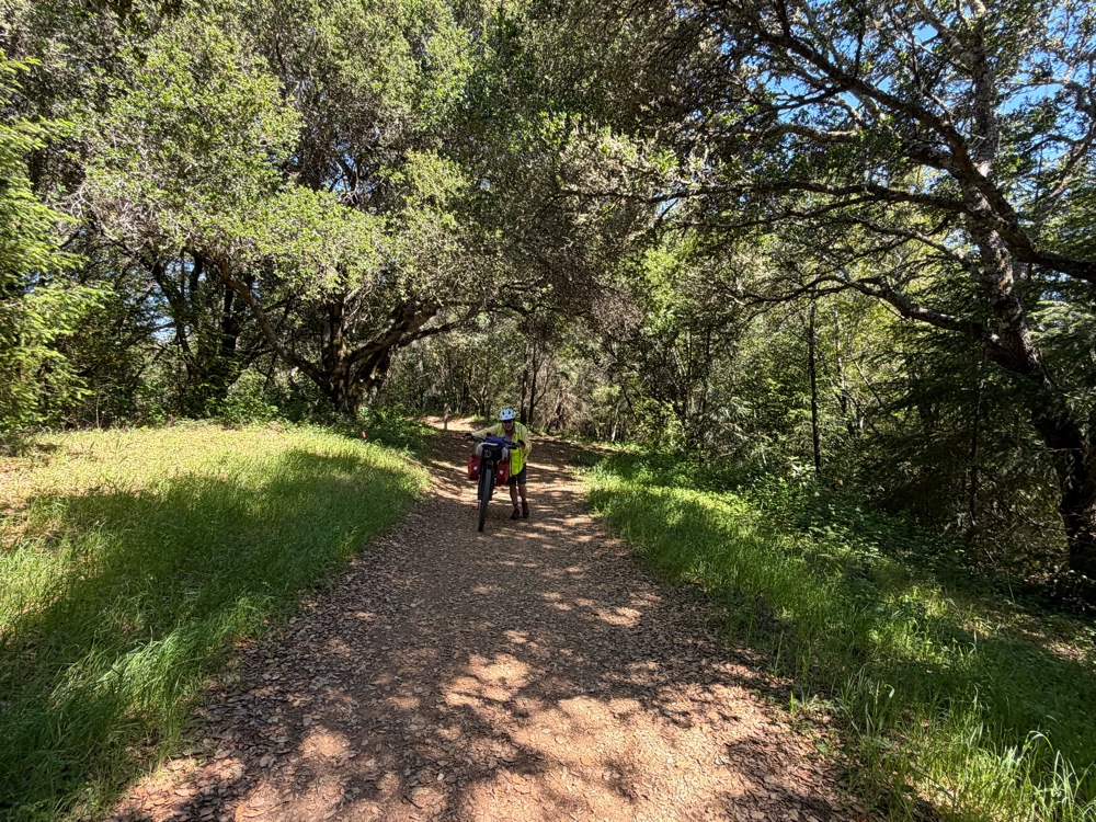
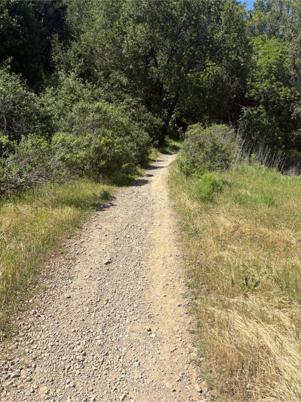
We hit our first bit of dirt not long after leaving Paul. It was more of a fire road, and not difficult to ride. There was no walking…yet.
We stopped at the other end of the trail and ate some lunch. We had thought about getting lunch in Fairfax, but we were all carrying so much food, we decided to eat what we had.
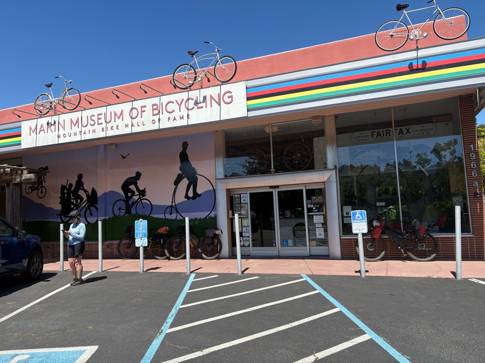
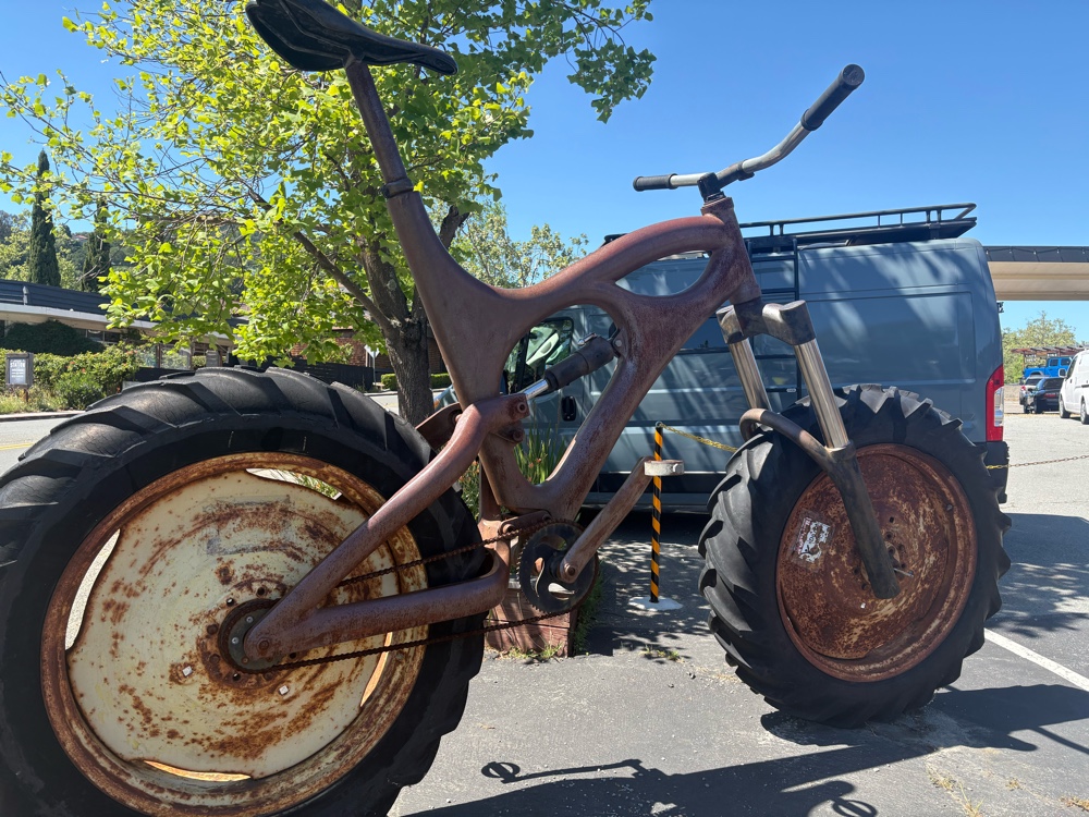
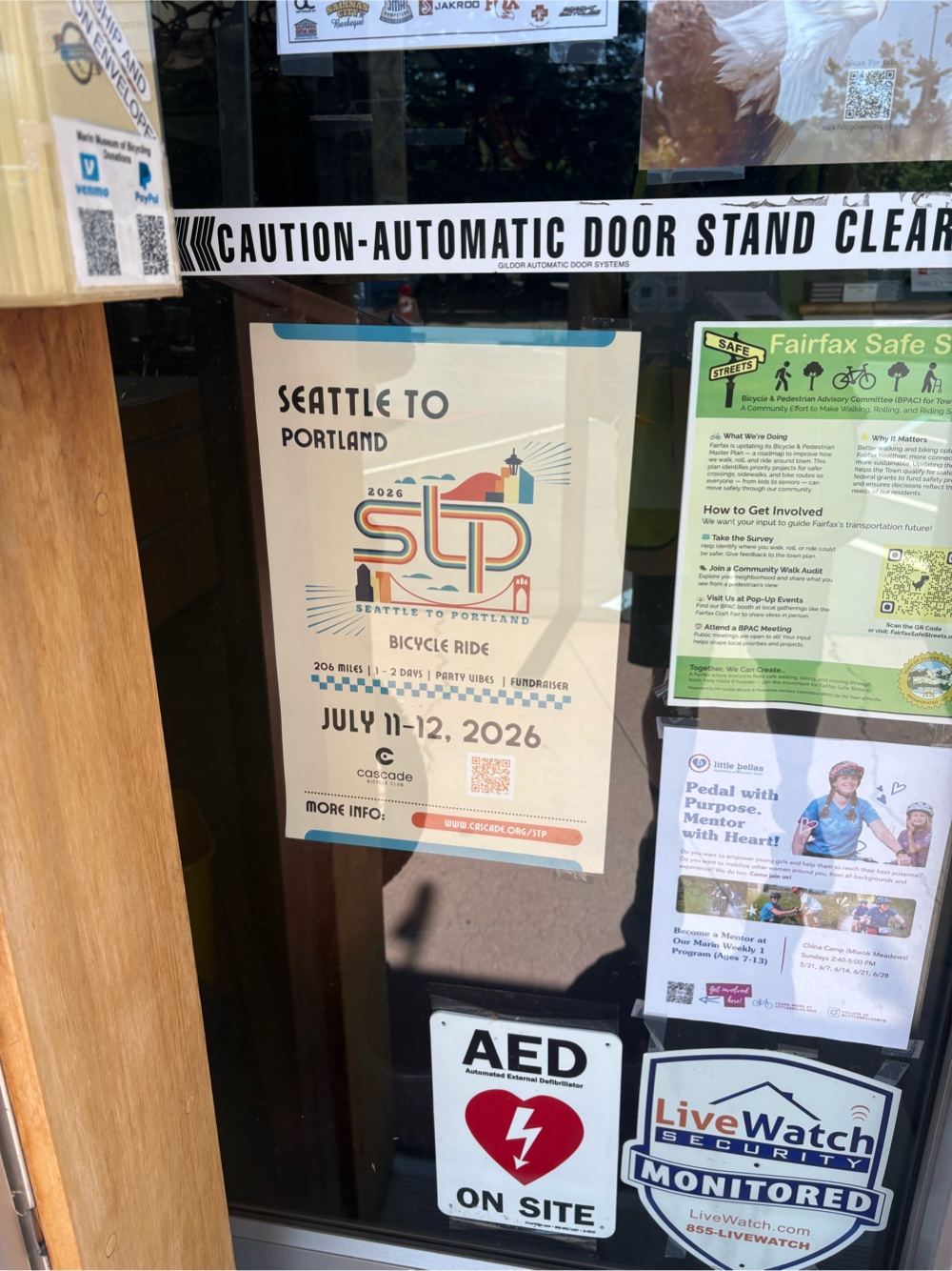
In Fairfax, we stopped at the Marin Mountain Bike Museum, but unfortunately, it was closed.
They even had a sign for the STP in the window.
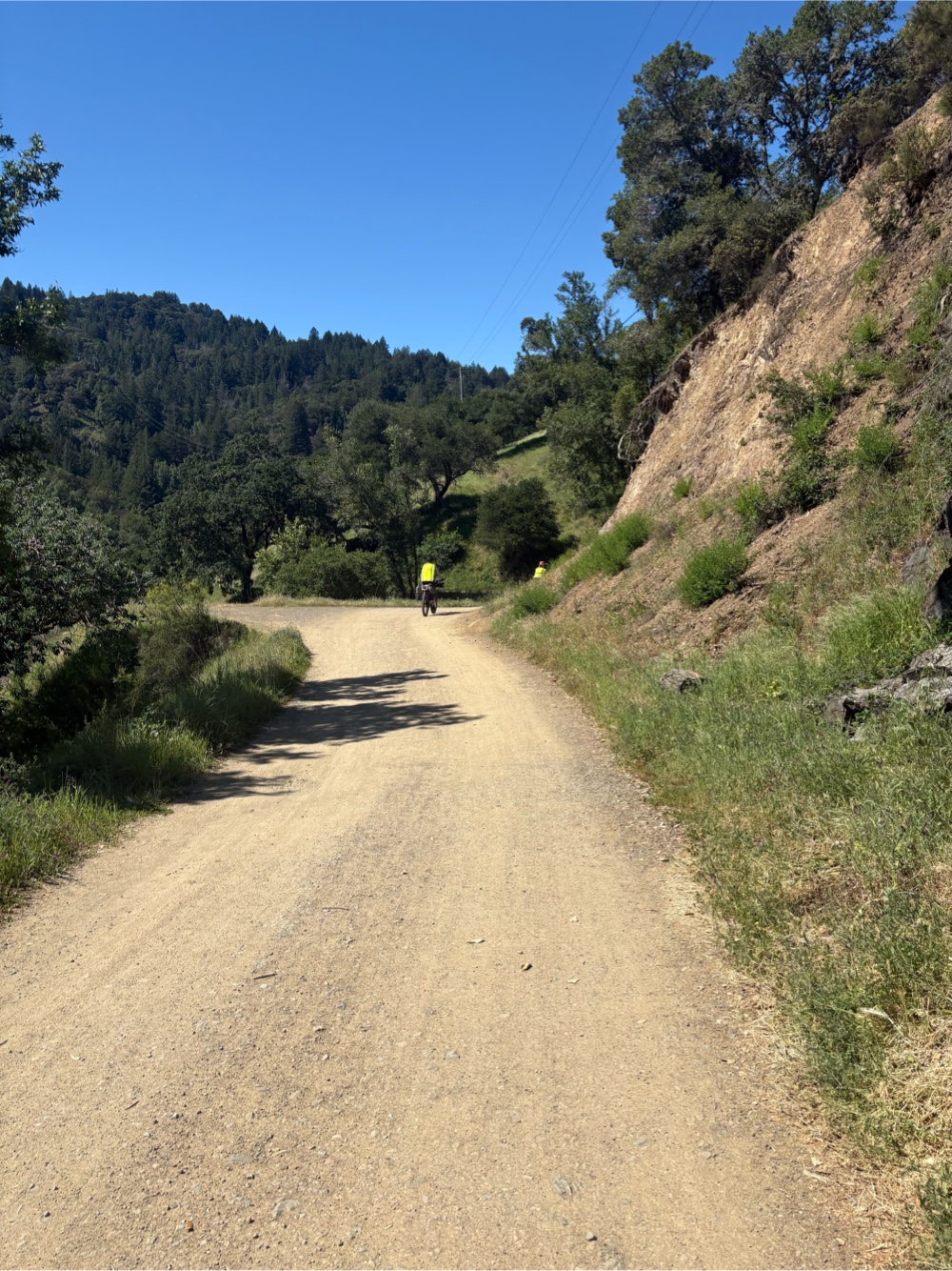
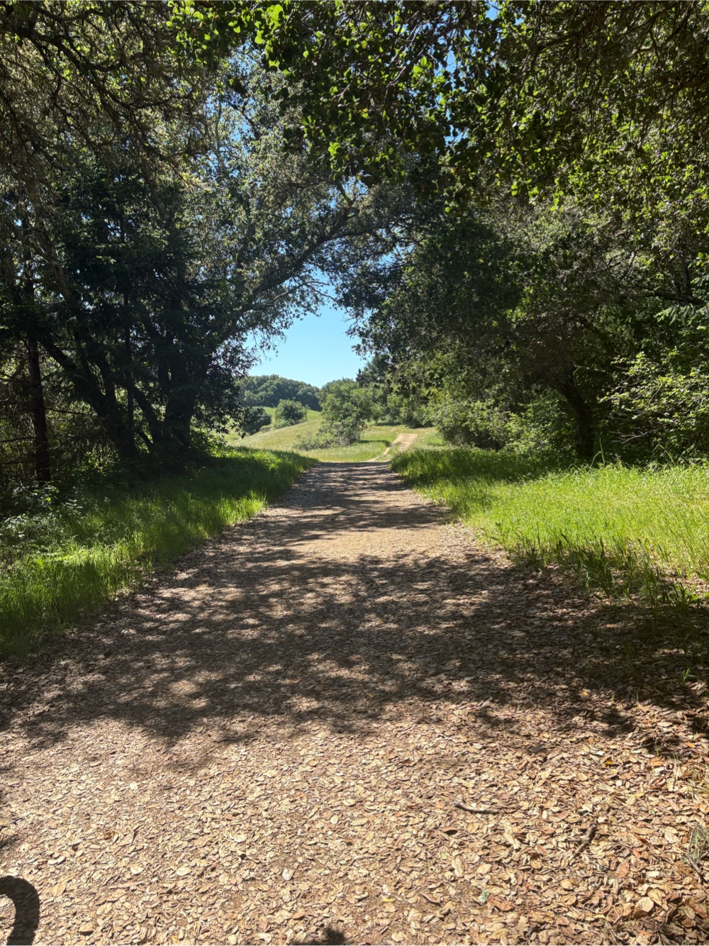
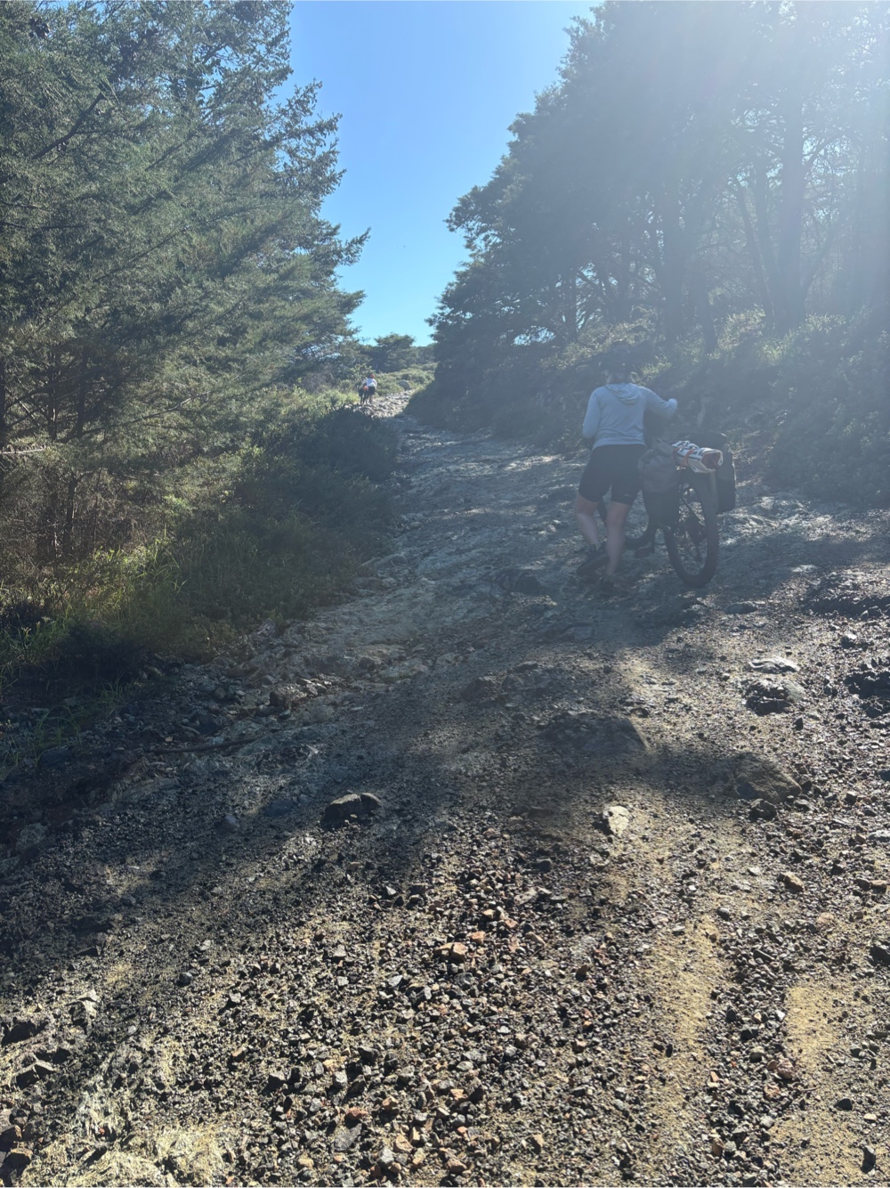
Now was the beginning of the afternoon’s climb. It was paved out of Fairfax, but then we turned onto the White Hill Trail. If it hadn’t been so steep, I could have ridden more of it.
It was very steep, and we all walked large portions. The climb continued for about 5 miles. I’m sure I rode less than a mile of it. So much pushing!
 |
| Photo by Catherine |
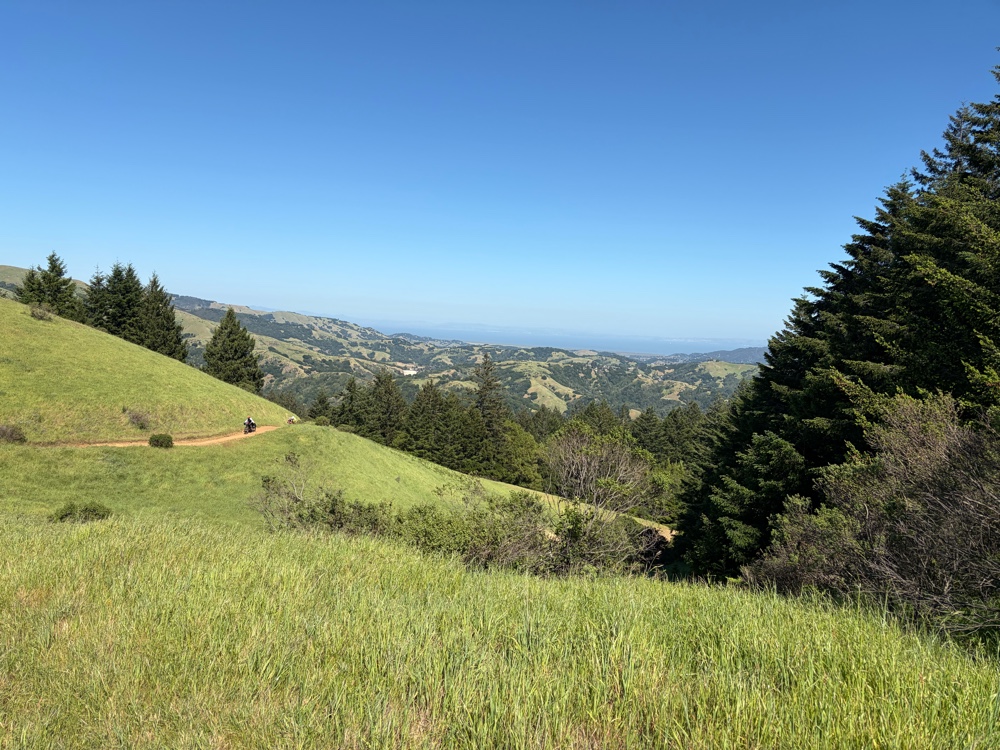
It was pretty though. We climbed higher and higher. At a couple of spots, we could see the Richmond bridge.
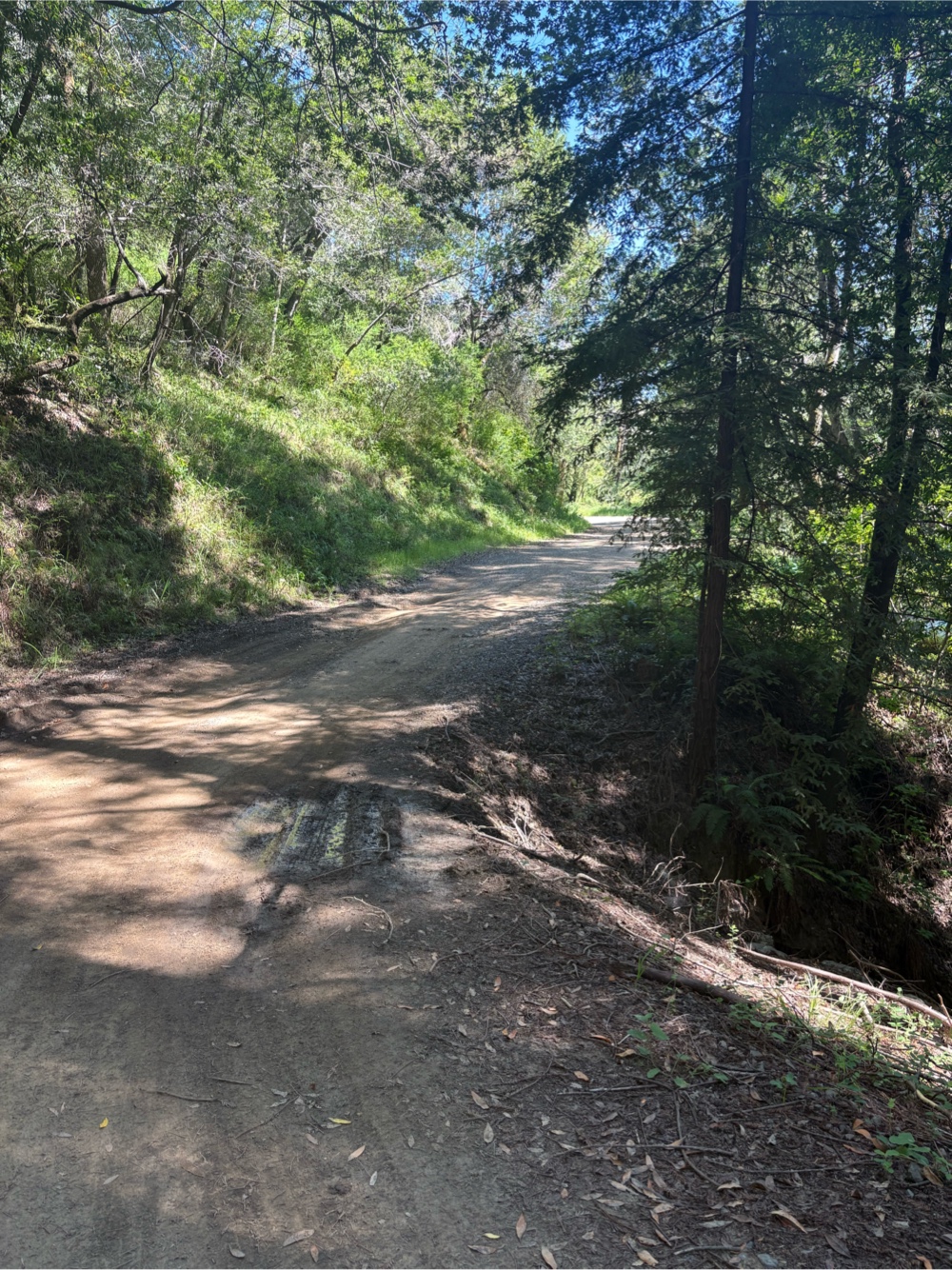
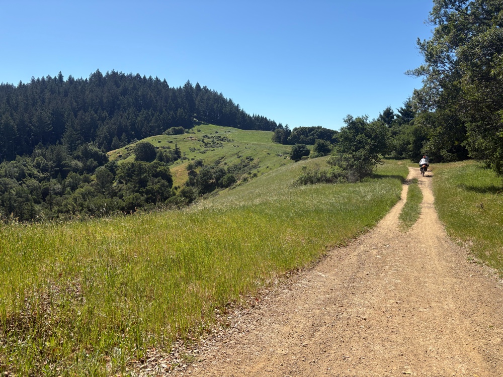
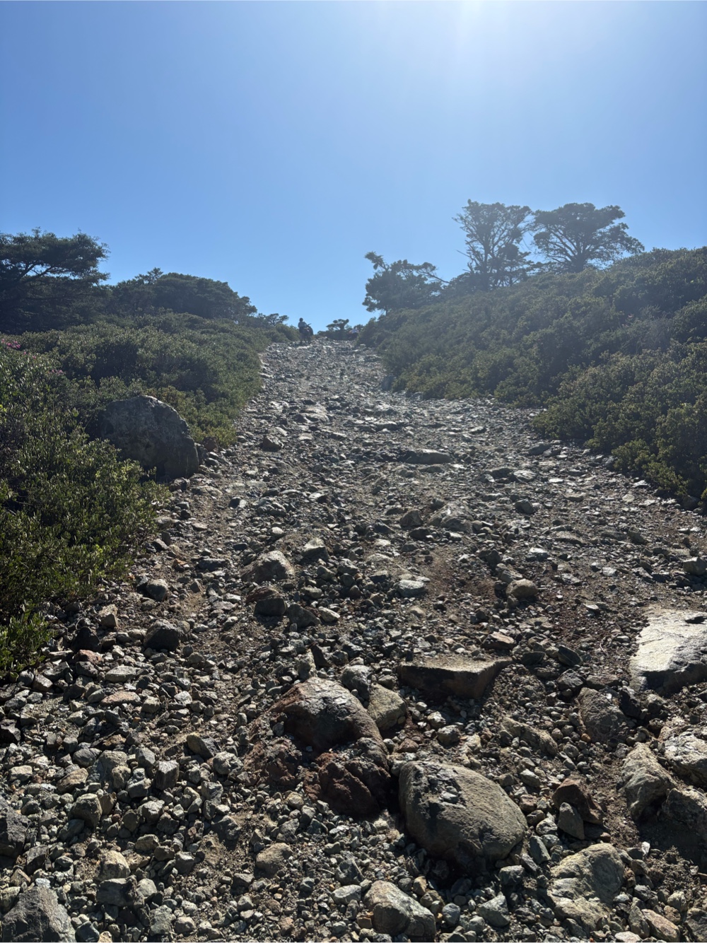
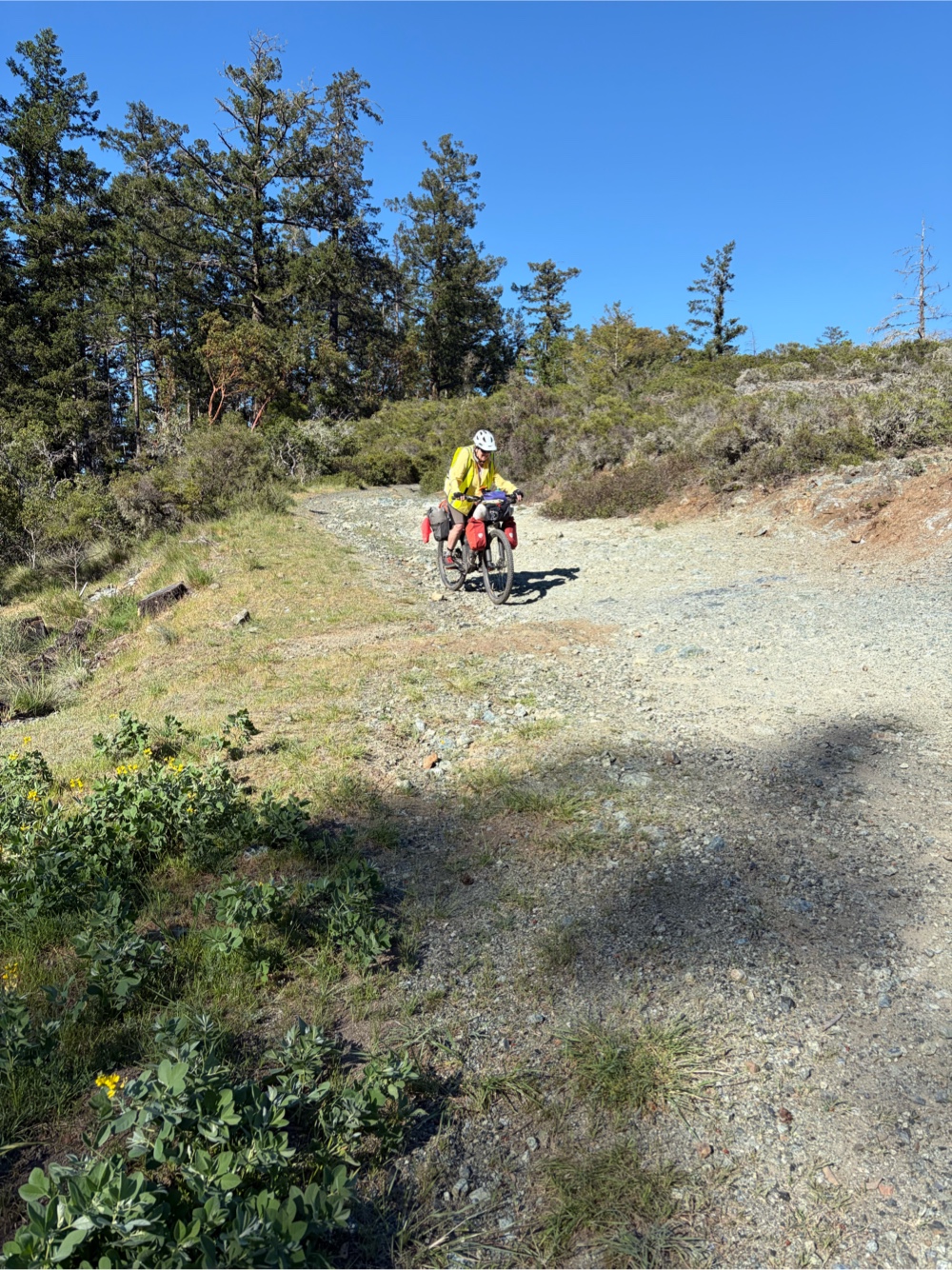
After a couple of hours, and a whole lot of pushing, we reached the top. Well, the top of that climb. Oh, we still had plenty of ups to go! They were just shorter, but still very steep, and some were very rocky.
Some of the descents were also quite scary. Catherine took this photo of me coming down a particularly scary one that Jana had lead me down.
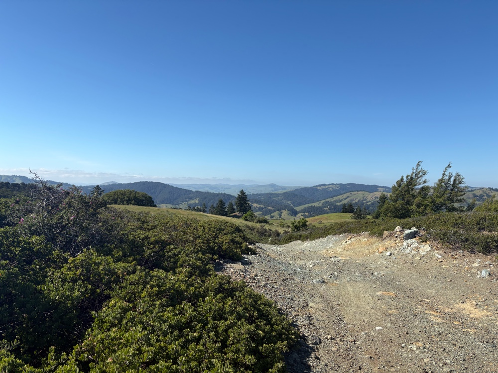
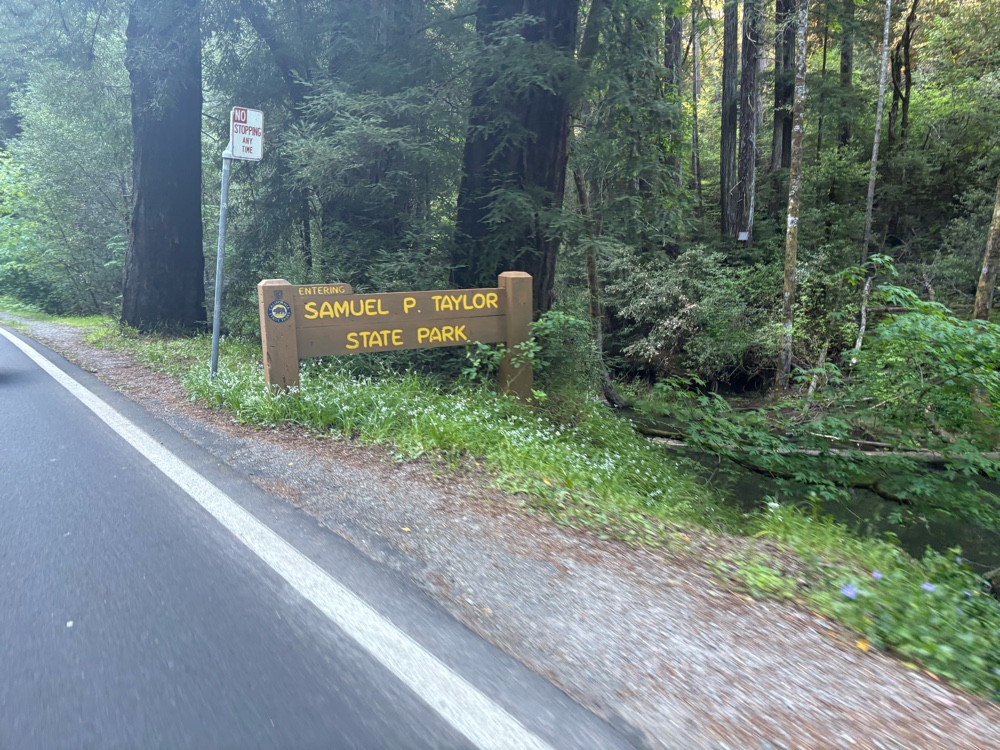
We finally reached the point where it really was downhill all the way to the paved road. Once we hit the pavement, we were not far from our destination of Samuel P Taylor State Park.
We finally made it to the hiker/biker site. I think it was about 6:00 ish. About a 9 1/2 hour day to go 37 miles of which a few of it was spent in a van crossing the bridge. Hopefully, tomorrow will not be so much pushing, although we know we will likely spend some time pushing in the morning up the Bolinas Ridge climb. But, in the meantime, it’s time to go to sleep and rest my weary back.
No comments:
Post a Comment