Today was another long day with a lot of hike-a-bike. So much, in fact, that we detoured off the route when we realized if we kept going at the current pace, we would finish at 8:30! But I’m getting ahead of myself…
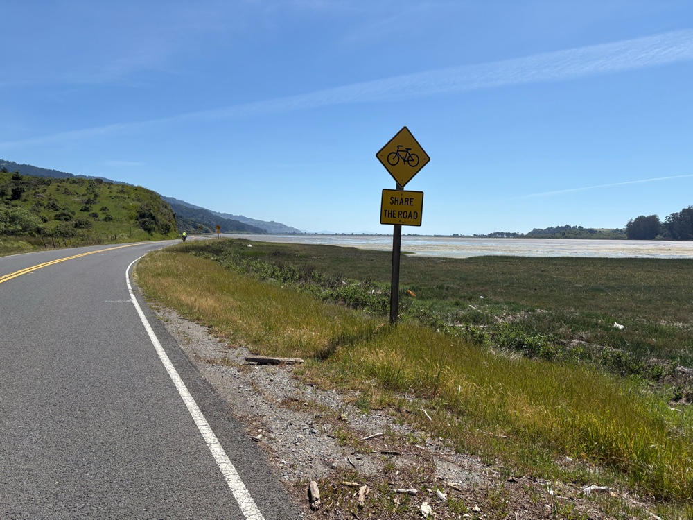
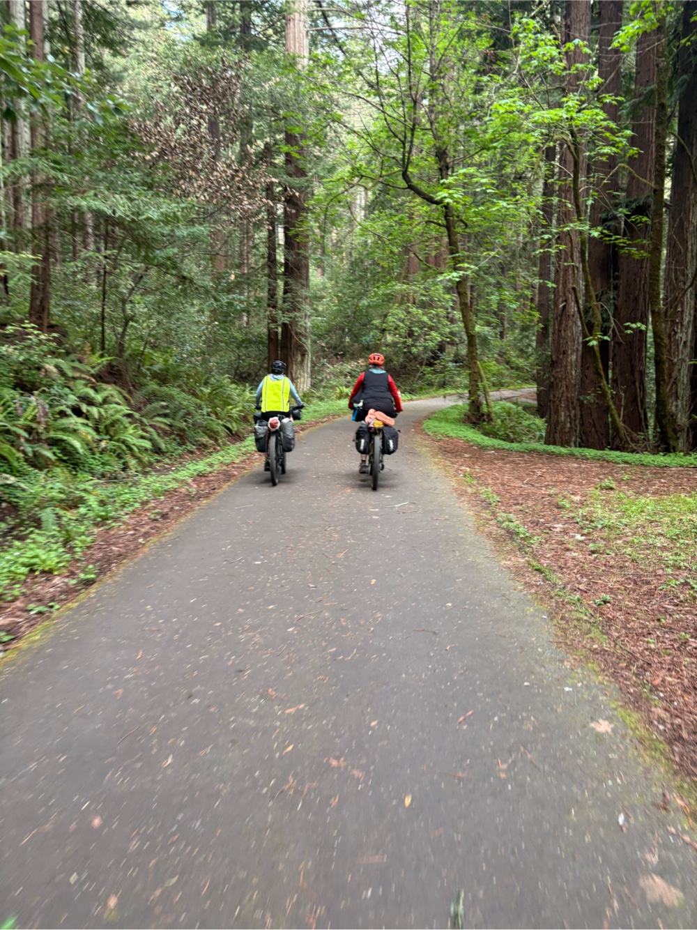 |
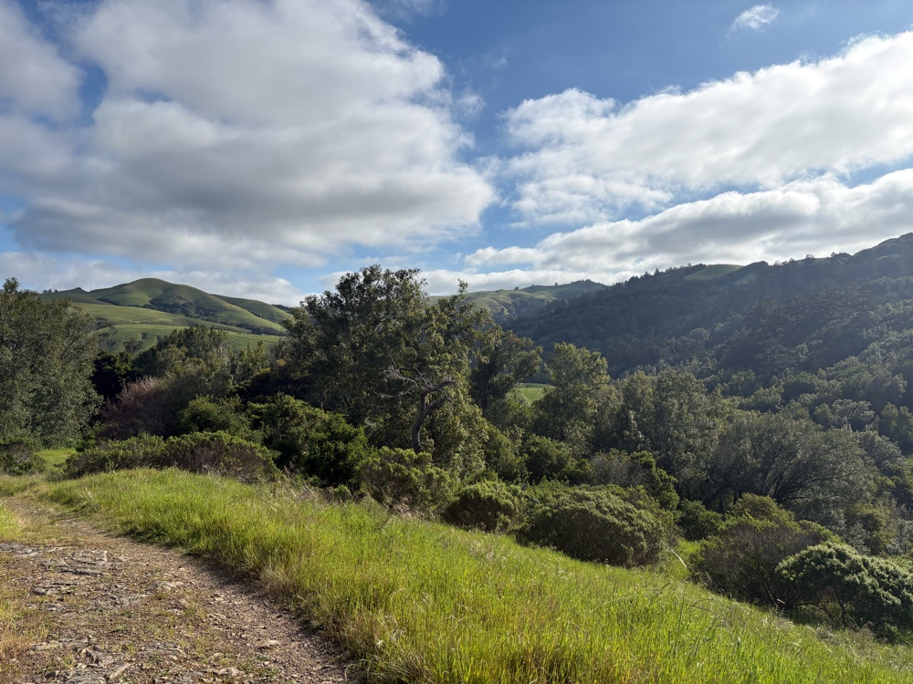
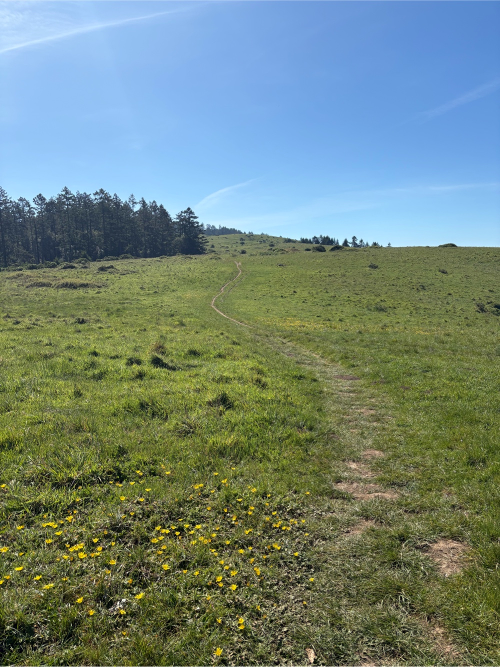
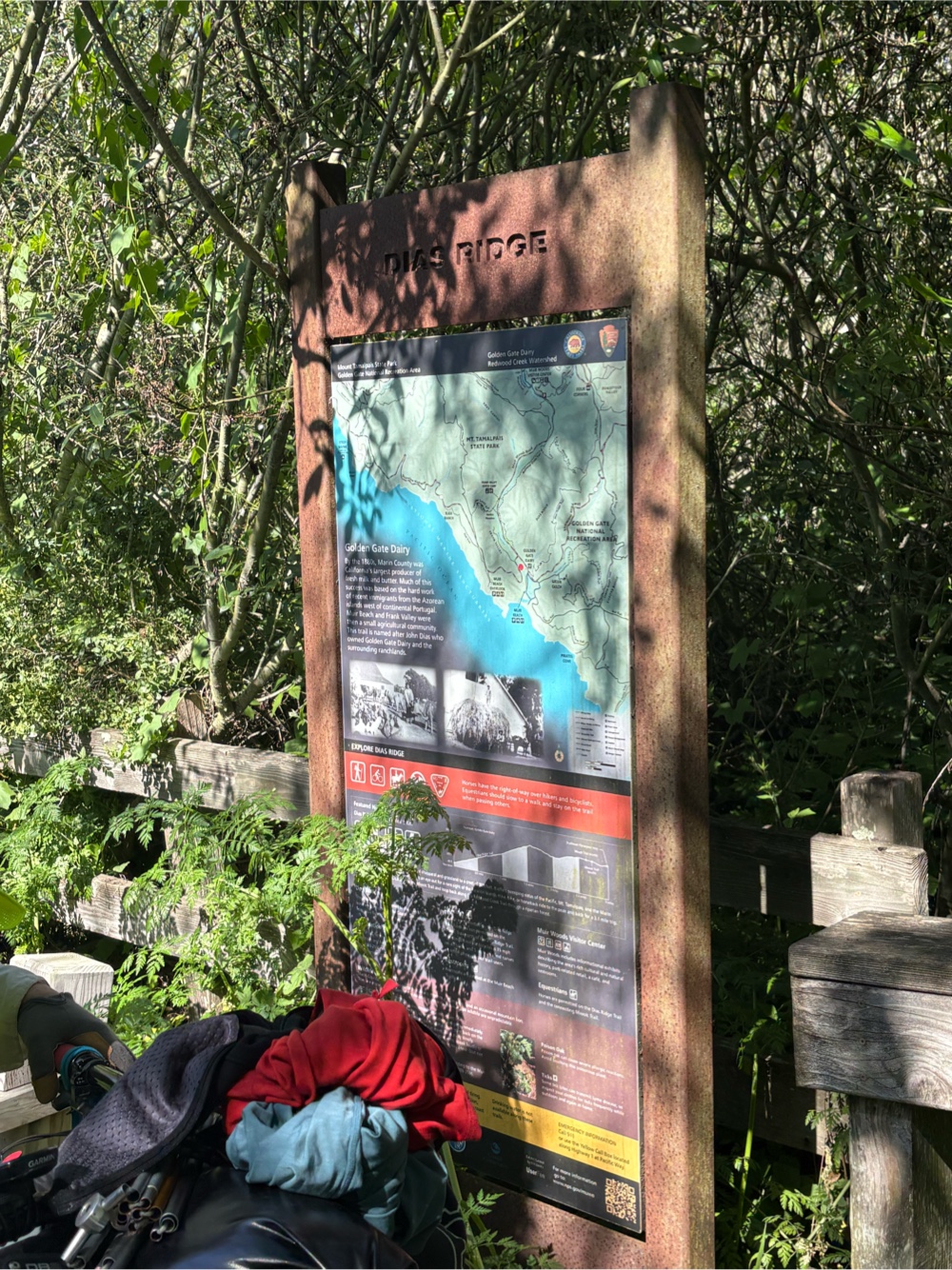
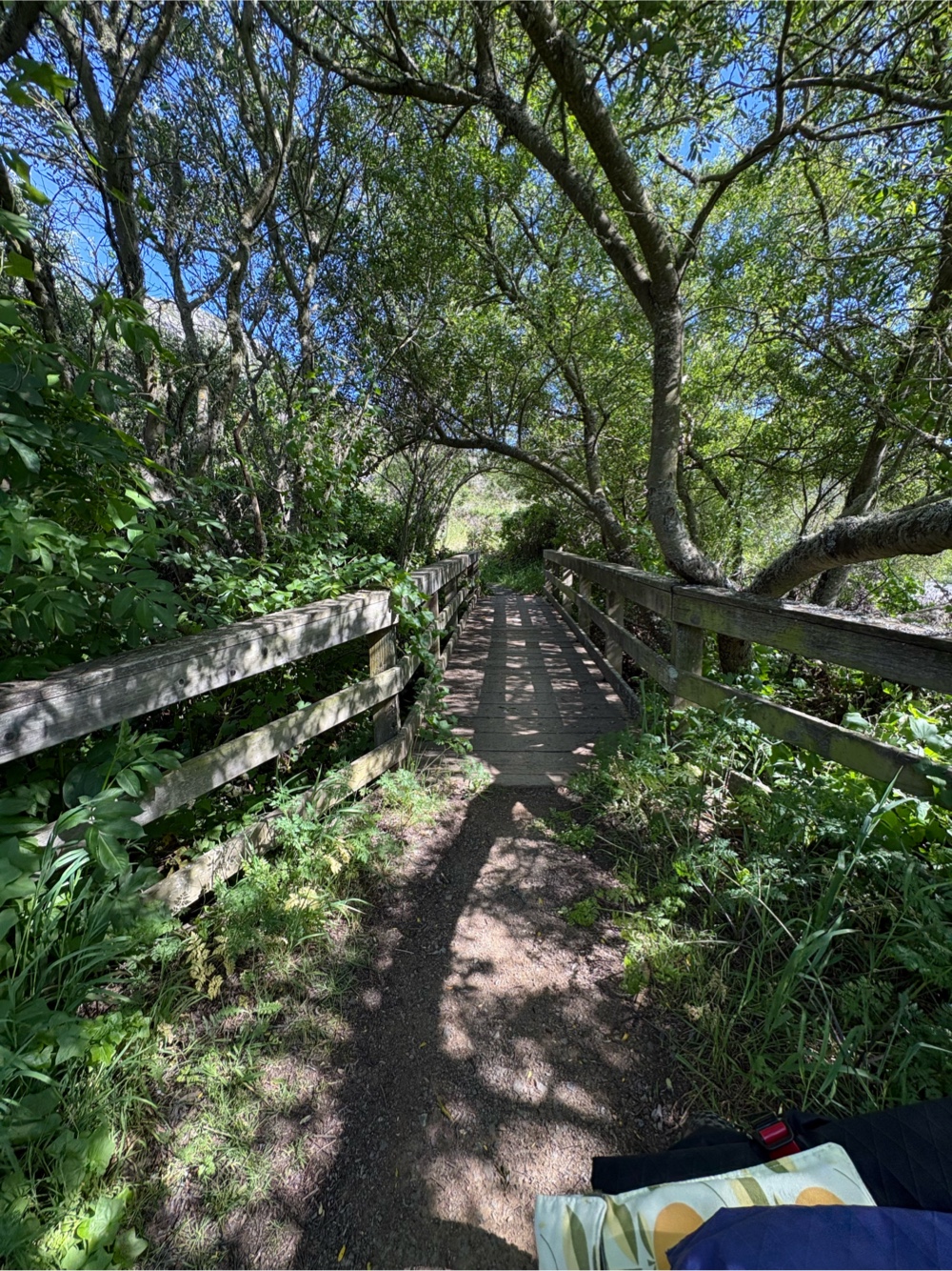
| Heading out of the park |
We left Sam P Taylor at 8:45 (might have been better to get an earlier start). A couple miles in, and we came to the Jewel Trail.
My Garmin said it was a 4.3 mile climb. I knew from what a friend had told me, that this was going to be a tough climb. That translates to walking for me, and while Jana and Catherine are much better riders than I am, they were still walking a lot too. I was only able to ride the tiniest bit.
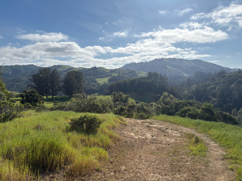
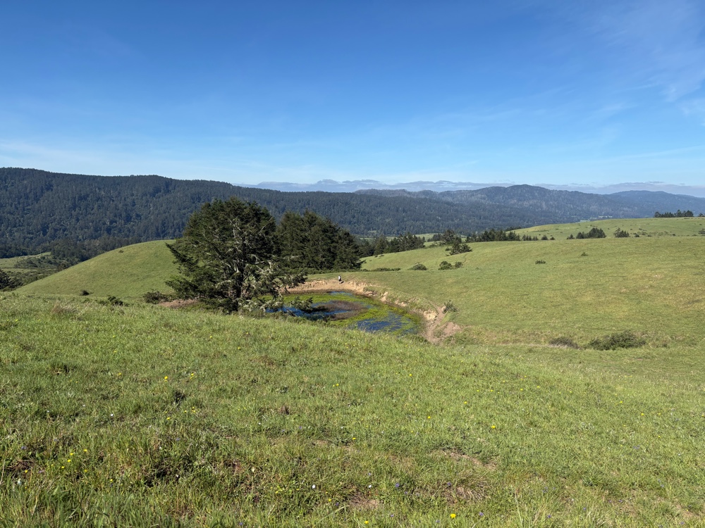
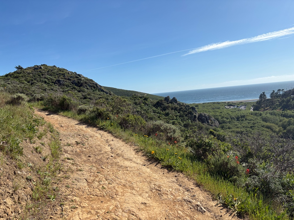
Once we got to the Bolinas Ridge Trail, there were a few bits of riding, but still lots of pushing. The views were good for both trails.
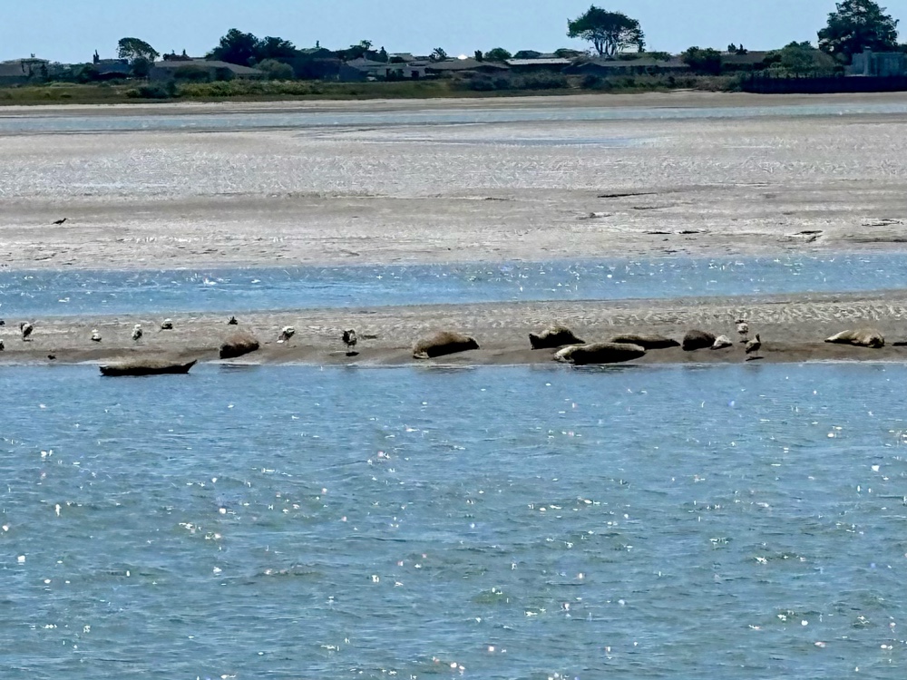
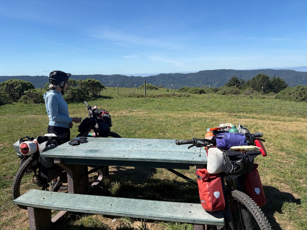 |
| There was even a picnic table! |
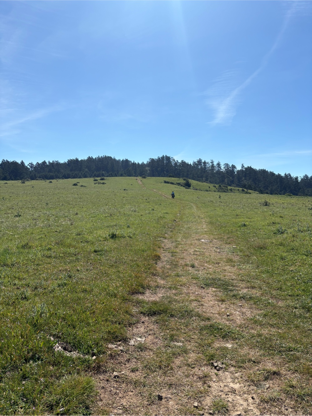
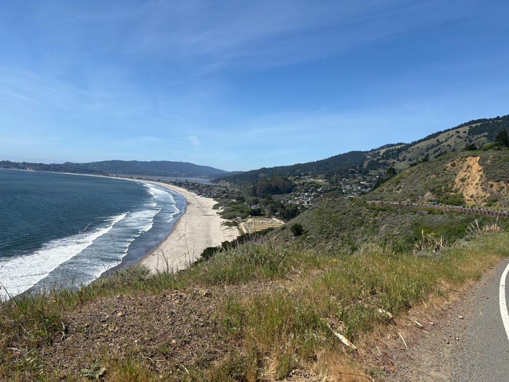
We continued alternating riding and pushing. We started realizing how long it was taking us, how many miles we still had to go, and how many more feet of elevation. We came to the Randall Trail that would go down to Hwy 1. We decided it was the smartest move, and would give us the best chance of actually making it to our campsite (spoiler alert…we didn’t).
It was a quick ride down to the Hwy. once on the Hwy 1, we covered, in one hour, the distance it had taken us 4 hours to do! Hwy 1 isn’t flat, but at least we could ride up the hills I stead of pushing.
We pulled into Stinson to take a little break. I got some soft serve ice cream and a chocolate chip cookie. We still had more miles (and quite a bit of climbing) on Hwy 1 before we would rejoin the route.
At first I didn’t really remember this section when I did the whole Pacific Coast, but then it started coming back to me. The long long climbs followed by glorious downhill, only to immediately start climbing again!
The Pelican Inn in Muir Beach was our plan to get water. Where we planned to camp, there would be no water. We each got a beverage, and filled our water containers. Yippee, now I had an extra 4.4lbs of water to carry uphill!
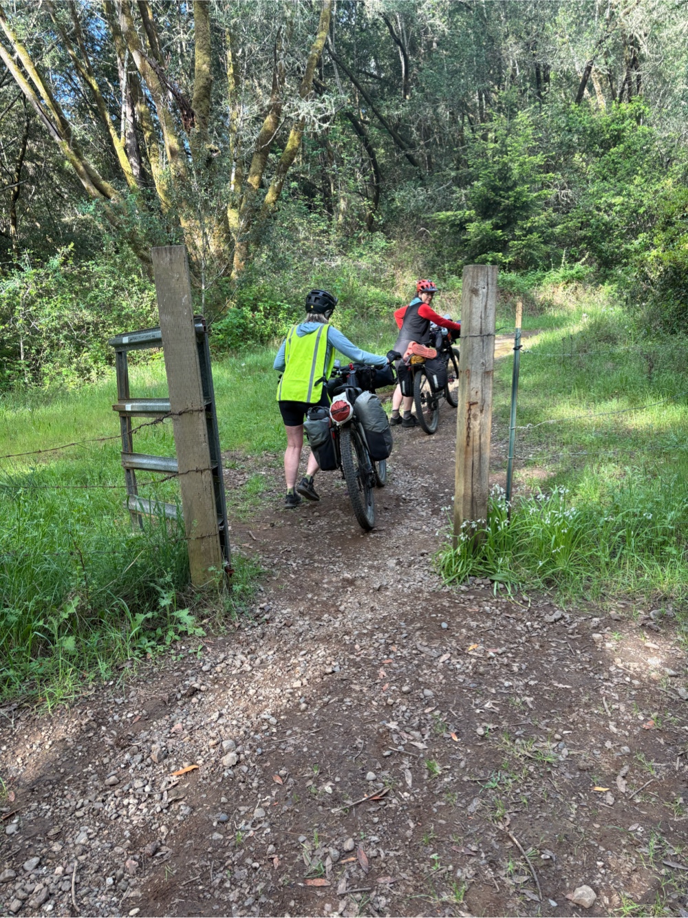
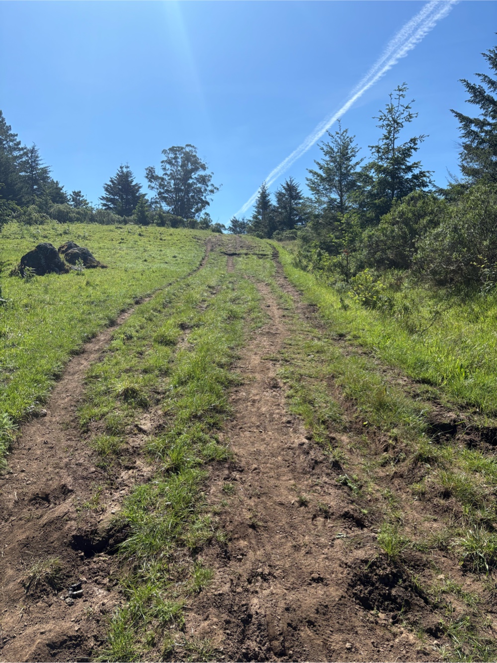
The route went back to trail just across the road from the Pelican Inn. It was Dias Ridge/Miwok Trail. It was appropriate as me was definitely walking again. This climb was 1.6 miles. Again, I was only able to ride a tiny bit.
The downhill was a bit scary for me. I lowered my saddle (it’s not a dropper, but it is a quick release) and used my legs as outriggers when the ruts were too deep.
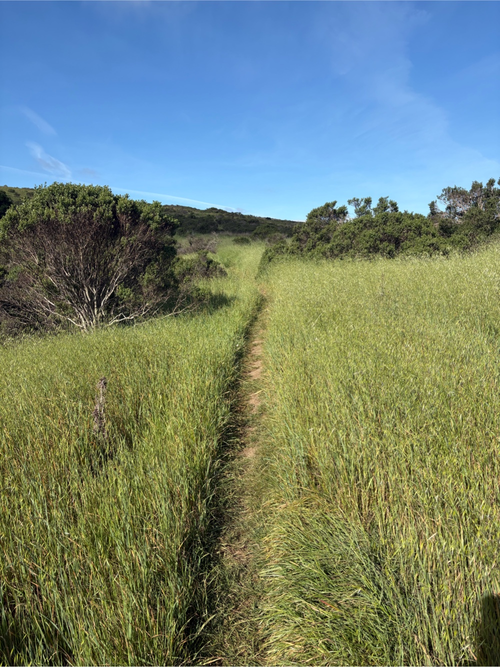
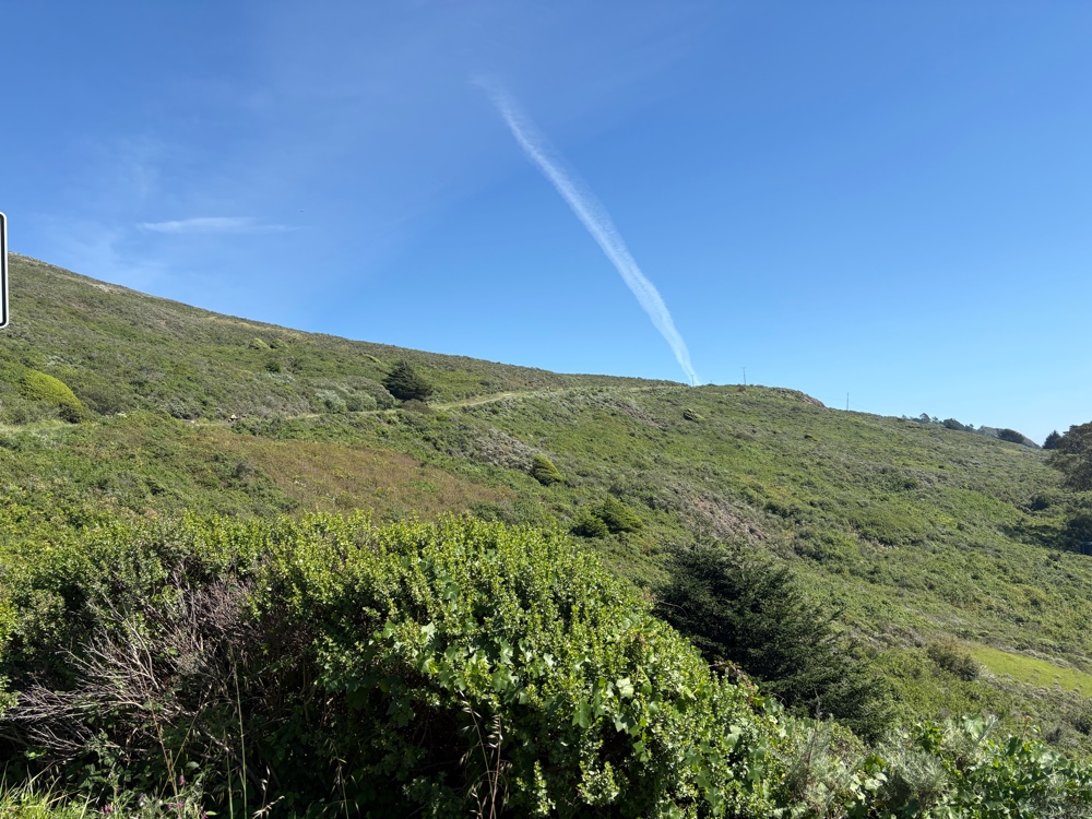
We still had two more climbs. The next one was still the Miwok Trail, but it was more of a road, and we were actually able to ride most of it! The descent was good too.
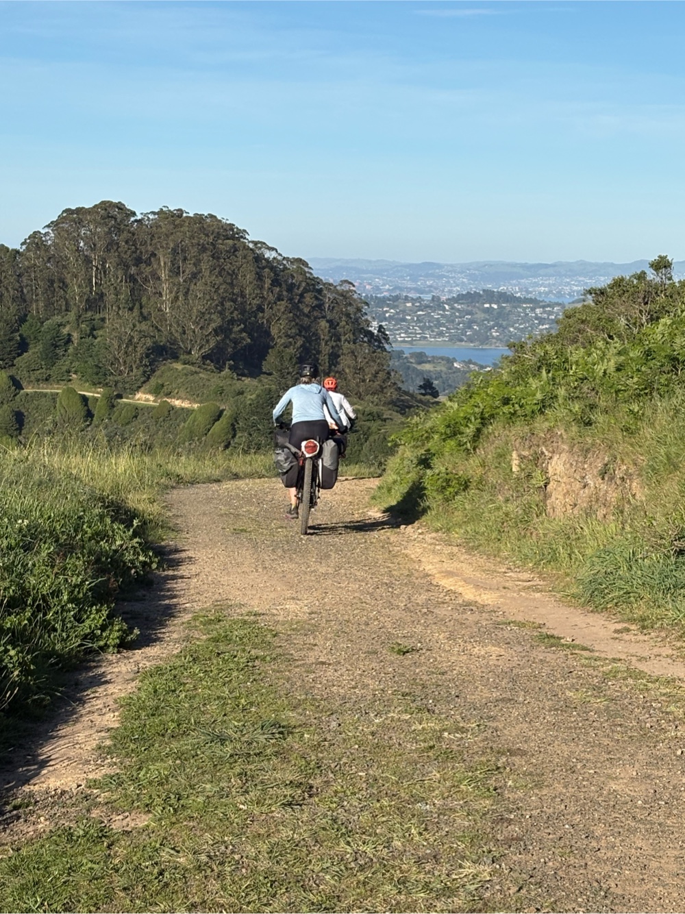 |
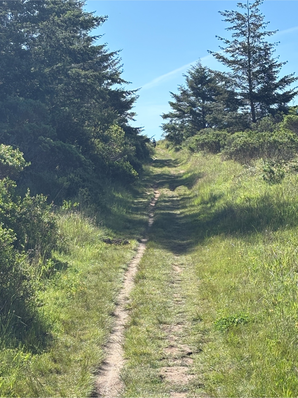
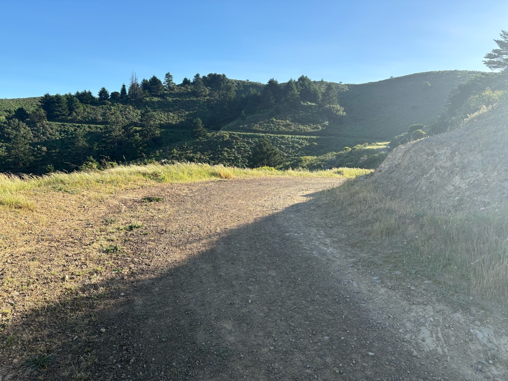
| You can see the city! |
One more bit of walking, and we were heading down to the road. That descent was very scary, and I had to walk a chunk of it. Finally, I made it to the bottom! Jana had found out there was a campsite called Haypress Camp. It easiest than a mile away, and not uphill.
We arrived at 6:45. Another long day. We didn’t quite get to where we planned (Hawk Camp), but we still rode 31 miles, and over 5000 feet of elevation. Jana calculated that we walked about 8 miles today. If we had stayed on the route it would have been even more hiking. I don’t like hiking!
No comments:
Post a Comment