After breakfast, we returned to the Apple Loop Trail. I was following the RWGPS route, when I noticed it was going to go over the river on the bridge we did yesterday. Bob had said we wouldn’t go that way. I stopped to check the route. Yes, we were to go over the bridge, and then come back over just a little way further down the river. I waited for Bob and Janet, but they never came along. I figured they had gone out to the road because Bob didn’t think we went over that bridge again. I continued on the route. A little while later, I checked my phone, and there was a message from Bob. They had done what I suspected. I told them I’d meet them down the road.
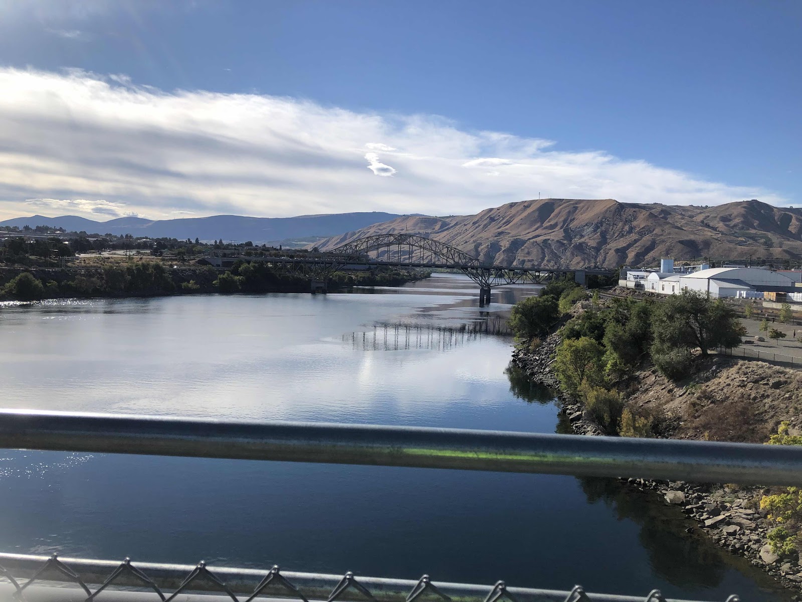
The other bridge.

A nice bike path and everything!
After the second bridge, I was on Wenatchee Ave. I was pretty sure Bob and Janet were ahead of me, so I kept riding…and riding…and riding. I didn’t catch them. I finally stopped and called Janet. I left her a message saying I would wait for them at the start of the gravel, and if they were ahead of me, to wait for me at the start of the gravel.
Riding along by myself.
I stopped to take off a layer as it was warming up. Shortly after I got going again, Janet and Bob caught up.

Janet said she was glad we were together again. I told her I wasn’t worried as I was just following the route. She said they needed me more than I needed them. True at that moment, but not later on.
By this time we were on Colockum Rd. As we were riding along a herd of elk crossed the road. There were several cows and one big bull. Also, at the same time there was a herd of cattle.

Cattle and elk! The cattle stayed low while the elk went up high.
We stopped for lunch in a shady spot on the side of the road where a bridge went over a creek. There was this heron.


Taking off.
We were continuously climbing toward Colockum Pass. We wouldn’t get over it today. The Pass is at 5300 feet. Bob wanted to make it to 4000 feet.
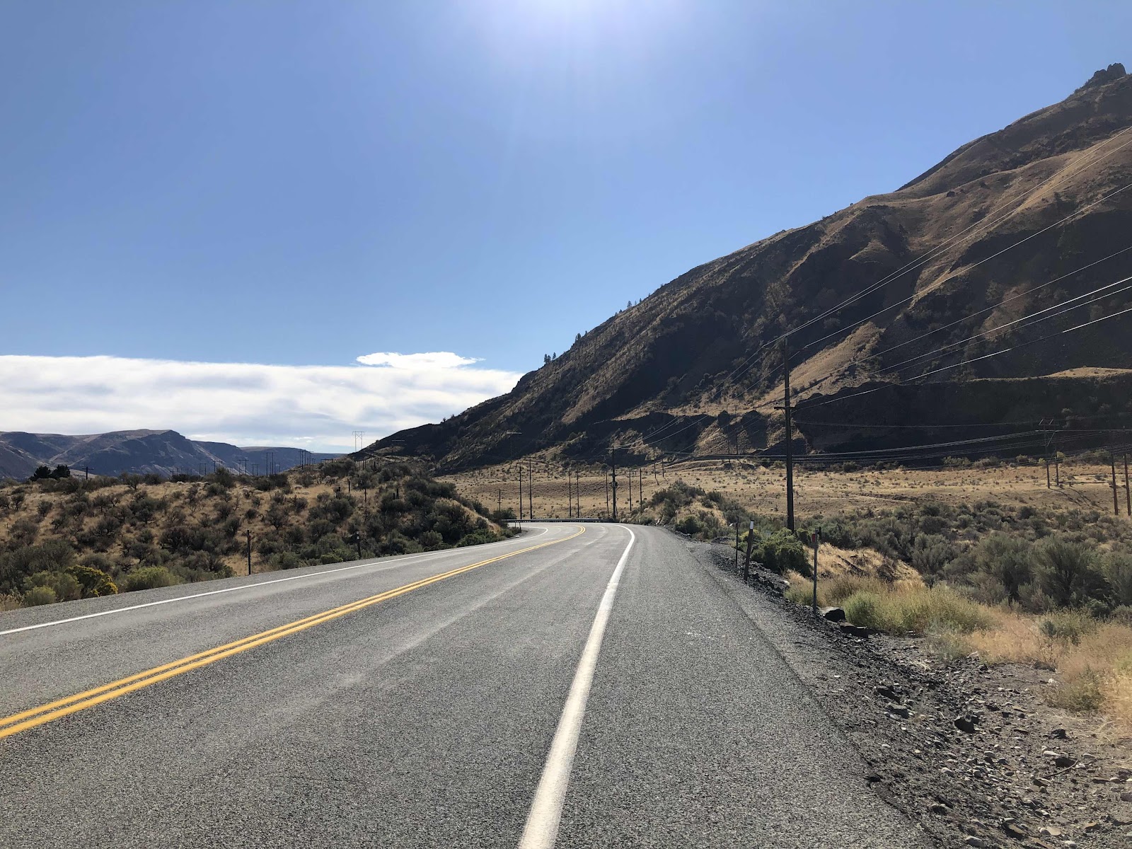
We were still on the pavement when we came to a road called Ingersoll. The route turned onto Ingersoll, but Bob said that wasn’t the right way. He said we should be staying on Colockum Road. Makes sense, but that wasn’t what he routed. I ended up stopping the route navigation. Now I didn’t know how many miles we had to go. Curiously, when I was redoing the routes, the way that the route went didn’t have any roads on RWGPS. I figured they had done the route looking at the satellite map. Apparently not. Ingersoll was not the right way.
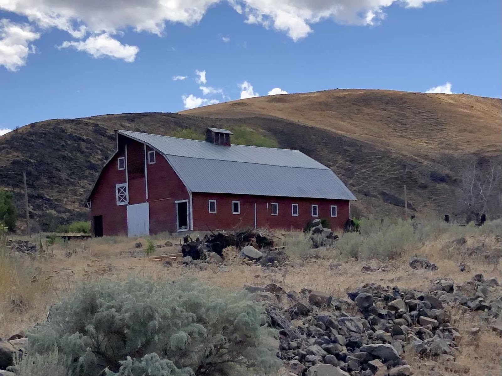
Nice barn.
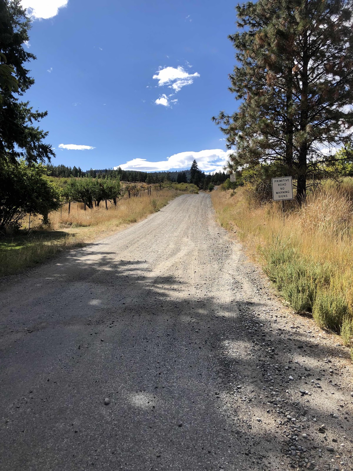
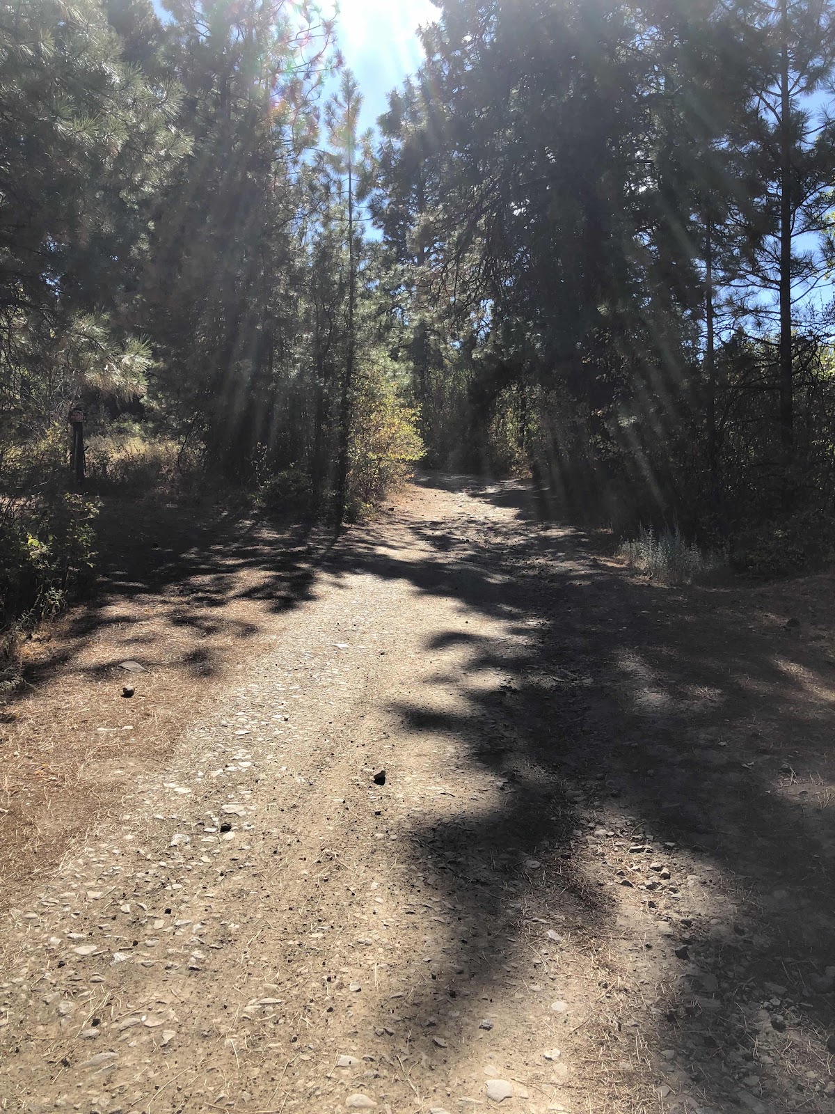
Finally to the gravel in Colockum Road.
The climbing continued at a relentless grade. I rode for quite awhile, but then came to this.
Not long after this, I had to walk. (Bob and Janet were already walking). We came to a campsite, but it was early, so we pushed on. Every time I would get to a campsite option, I would stop and wait to make sure they wanted to continue.
There were moments where I could ride (smoother, and not so steep), but then I’d be back to walking. I finally popped out of the trees at this view.
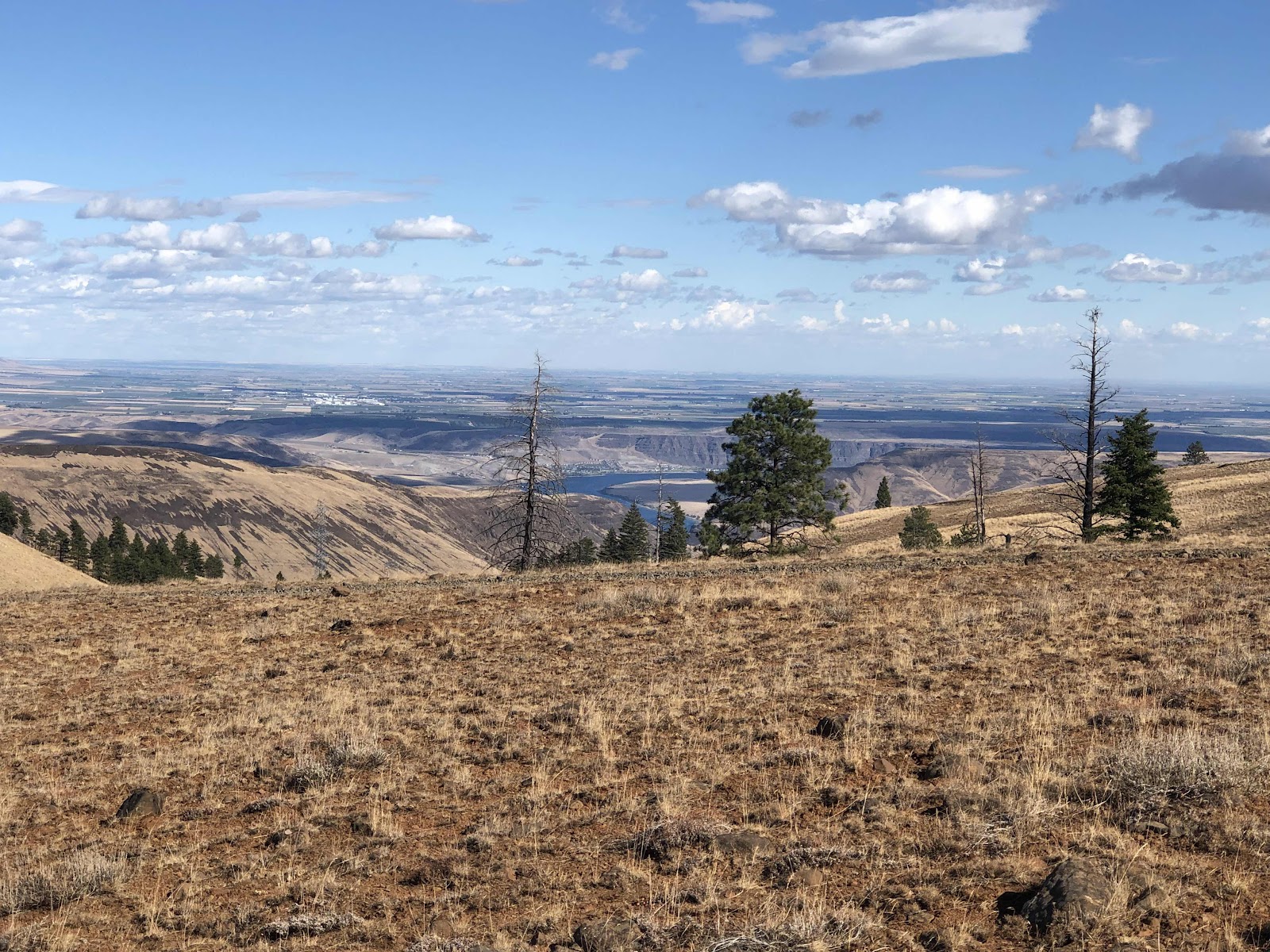
The river is way down there.
It was pretty windy. When Bob and Janet caught up, we continued walking.
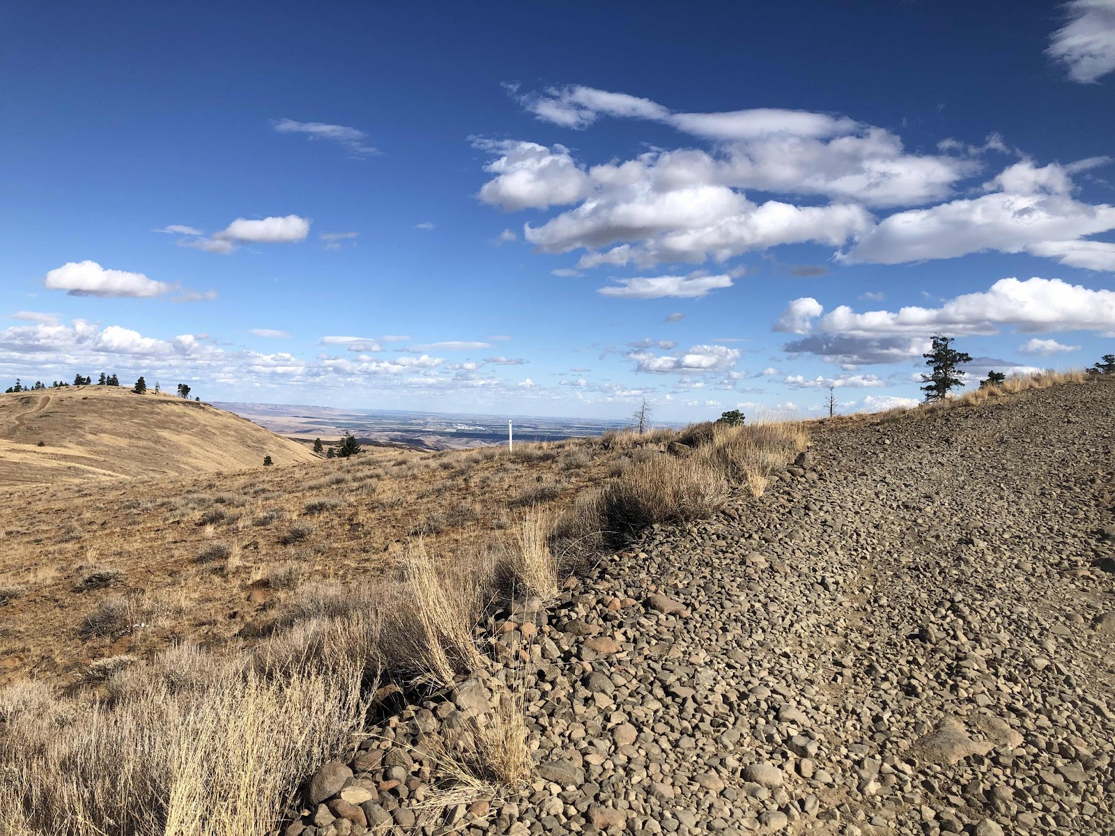
Pretty rocky.
I came to a side “road”. I laid down MC, and walked up to see if it might be a suitable place to camp. When the others caught up, I proposed we camp here as it was sheltered by the trees, and there were enough decent tent sites.
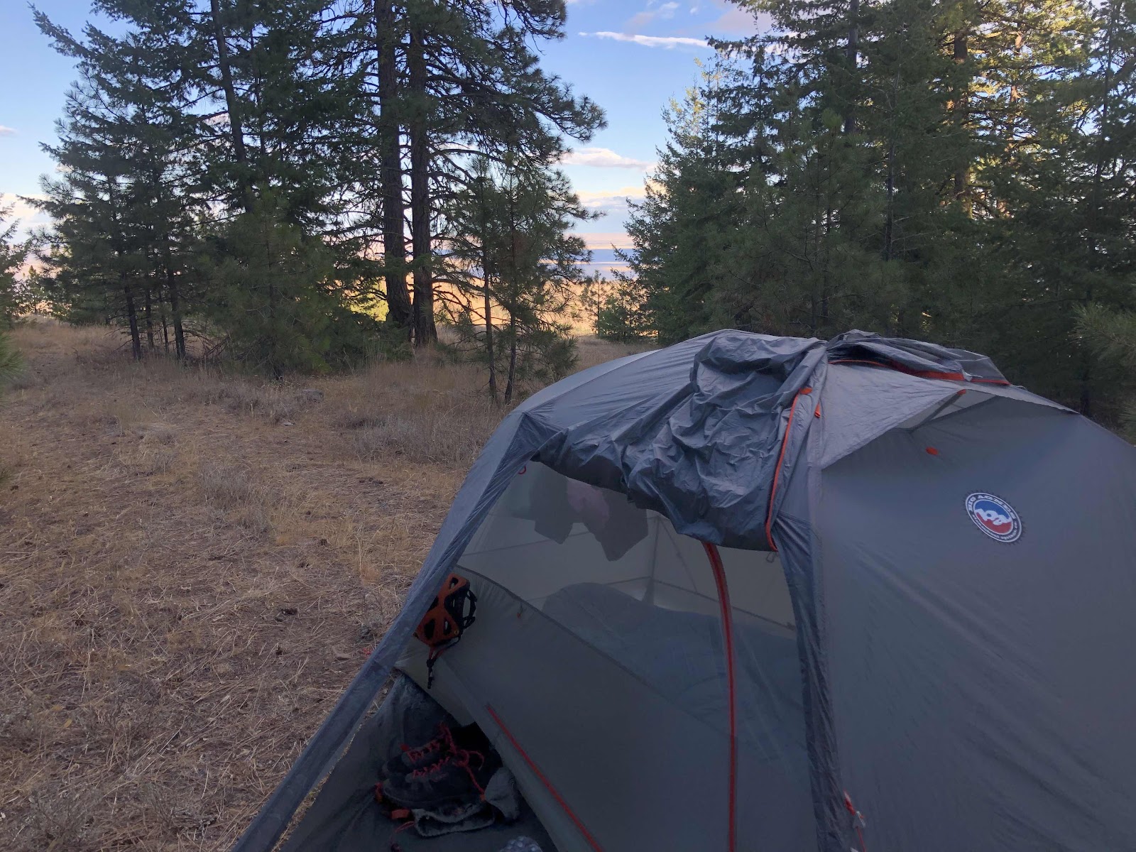
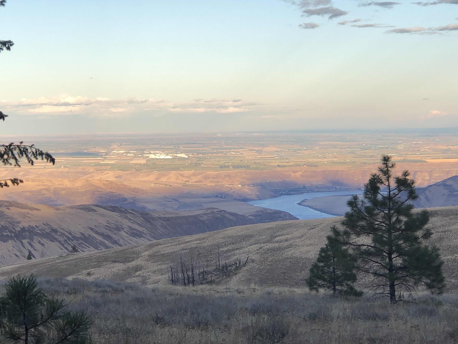
The view not far from my tent. Not sure what the town is in the distance…maybe Palisades?
It was a good bikepacking day. The climbing is not easy, but the views are worth it…as always…we can do hard things (however, big kudos to Bob as he is a wee bit on the older side at 77). Tomorrow we get right back to climbing.
No comments:
Post a Comment