
Yes, both Ian and Nat are tall, but not that much taller than me. We were standing on a slope.
Ian had thought about maybe riding with me, but his bike was in pieces, and since he got back late last night, he hadn’t had time to put it back together. That was okay, I ended up riding with another Ian, but more on that in a moment.
Getting out of Melbourne was not that difficult since I was basically on the same road for the first 15km. A dude did just about run into me when he jumped the traffic light before I had gotten through the intersection. I threw daggers at him with my eyes.
Although I was fairly quickly out of the suburbs of Melbourne (well, really, I don’t know how far they go), I was in fairly heavy traffic the entire day. For a not long enough time, I was on the Peninsula Link Trail. It was very nice. The peninsula is the Mornington Peninsula. It makes up the eastern side of the large bay that Melbourne sits on.

This part was going through a wetlands reserve.
Even though there was a lot of traffic, I spent the majority of the day in a bike lane. It’s kind of funny, because where there are left hand turns, there will be a sign that says “Bike Lane Ends”. But, when I look ahead, I can see where it picks up again. I think they could have saved a lot of money on those signs.
The terrain seemed to trend down getting out of the suburbs. I thought at the rate I was going, it was going to be a pretty easy day. It seemed I also had a tailwind. All was going quite smoothly until I turned onto the Napean Hwy. It also started to rain. It was a misty rain, but the kind that will soak you in a hurry. This was the beginning of rain gear on/rain gear off/rain gear on, etc for the rest of the day. The road went along the coast of the bay. Once I was on the Napean Hwy, the wind (a westerly) was quite a strong crosswind/headwind. My pace was slowed considerably. Then things started going up...well, the road anyway. I could see a rather sharp incline ahead. I wondered if maybe there was a bike path along the shore that went around it.

Looks a little windy out there don’t ya think?

It started out promising, but ended up being a no go.
I turned around and resigned myself to going up the hill. At least there was a bike lane. But, to make matters more...strenuous, a sign said all bikes had to go off the highway, and up Rose Hill. It was very steep...steeper than the highway. It was my first time in my easiest gear for the day (not my last though). From there, and for the next several kilometers, the road continued to climb, even once I was back on the highway. It climbed up to Mt. Eliza, then a short downhill before then climbing up Mt. Martha. At least when I was in the thick of the climbing, the wind wasn’t so strong. As I was slogging along, I started doing the math in my head as to how many more hours I had to go, and approximately what time I would arrive in Sorrento. I would be chasing the daylight.
As I was going up Mt. Martha, a road cyclist rode up beside me. We talked for a short time, then he rode ahead. He stopped toward the top and took a photo of me as I was finishing the climb. I smiled for the camera. We chatted for a bit while I was resting. His name was Ian. I told him I had been staying with another cyclist named Ian. This guy was closer to my age though. Anyway, he was commenting on the wind, and gave me some route suggestions. I followed one, in fact, rode with him into Safety Beach on a road that did not go directly into the wind. He said it was also a nicer route. At one point we rode under a canal. Finally, as I was going quite slow for him, I told him he should probably get going. He said goodbye, and rode off. Later (he must have stopped for lunch or something), he rode up behind me again. He told me there was a good coffee place in the town we were riding through, but I told him I really needed to continue to make it before it got dark. That was the last I saw of him.
As the afternoon wore on, the wind seemed to die down a bit and I was encouraged that I would finish before it got dark. I had finally seen a distance sign for Sorrento. I was counting down the kilometers. Having been pretty much off the bike for 9 days, my quads were feeling it the most. At least my butt was doing fine (continuing the no-chamois plan).
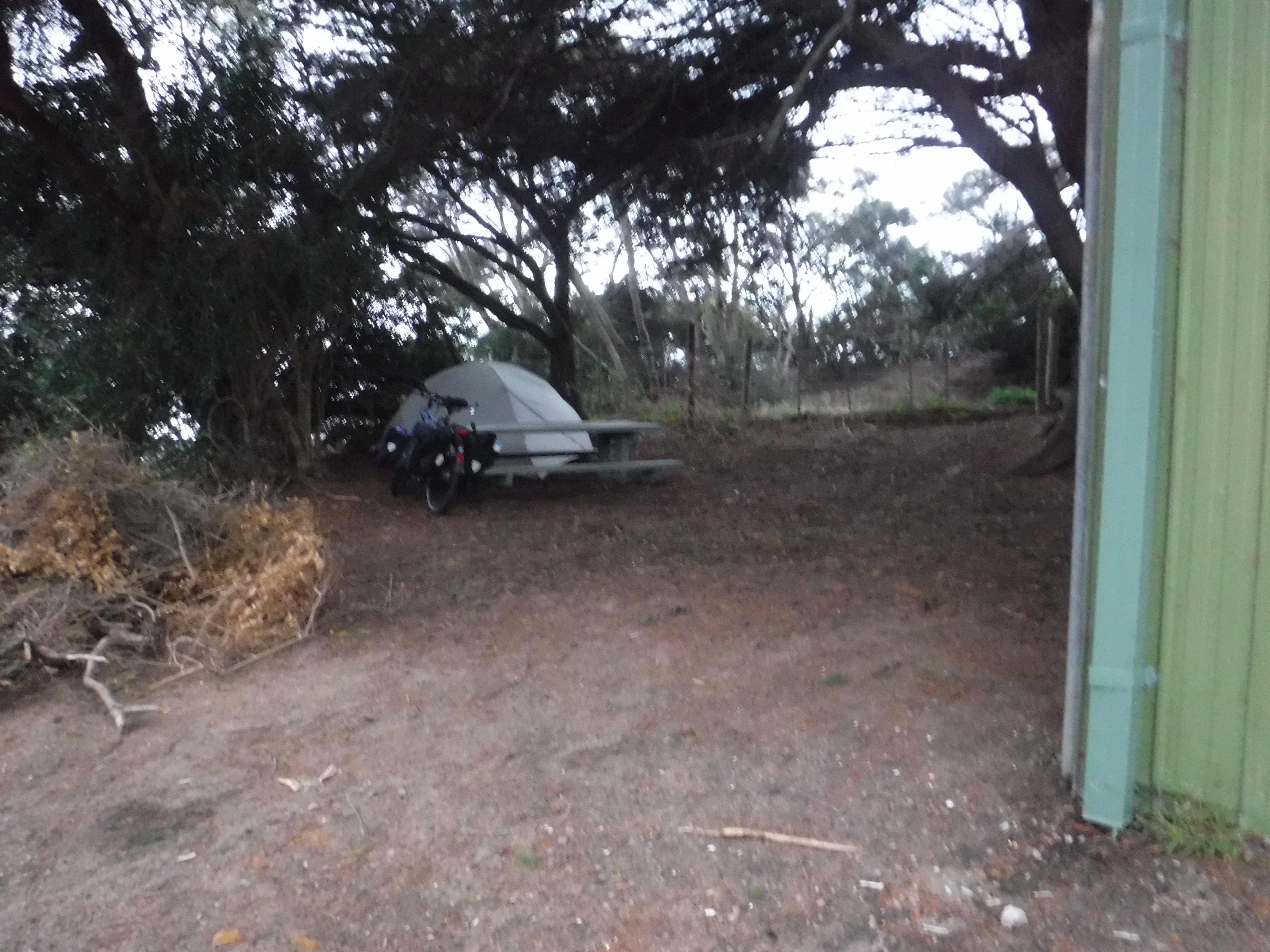
I finally spotted the Sorrento Foreshore Camping Ground. It’s kind of like a state park. I arrived at 5:15, still light, but not for much longer. There was no one in the office, and no way to pay, so free night of camping for me! Unfortunately, there is a code for the door to the showers, so no shower for me either. I’ve set up my tent in a spot that I’m absolutely positive is not a campsite. But, it is sheltered from the wind, and has a picnic table (that’s one way I know it is not an actual campsite...none of the actual campsites have tables).
Works for me!
Here’s the view from behind the bushes of my campsite.
That’s the ferry I will take tomorrow.
That’s the ferry I will take tomorrow.
I am tired after 93kms today. My legs are wanting to cramp. I’ve taken some ibuprofen, and now I’m going to go to sleep (it’s 7:30). I have to be at the ferry by 8:20 tomorrow morning. It’s only about a kilometer away.
No comments:
Post a Comment