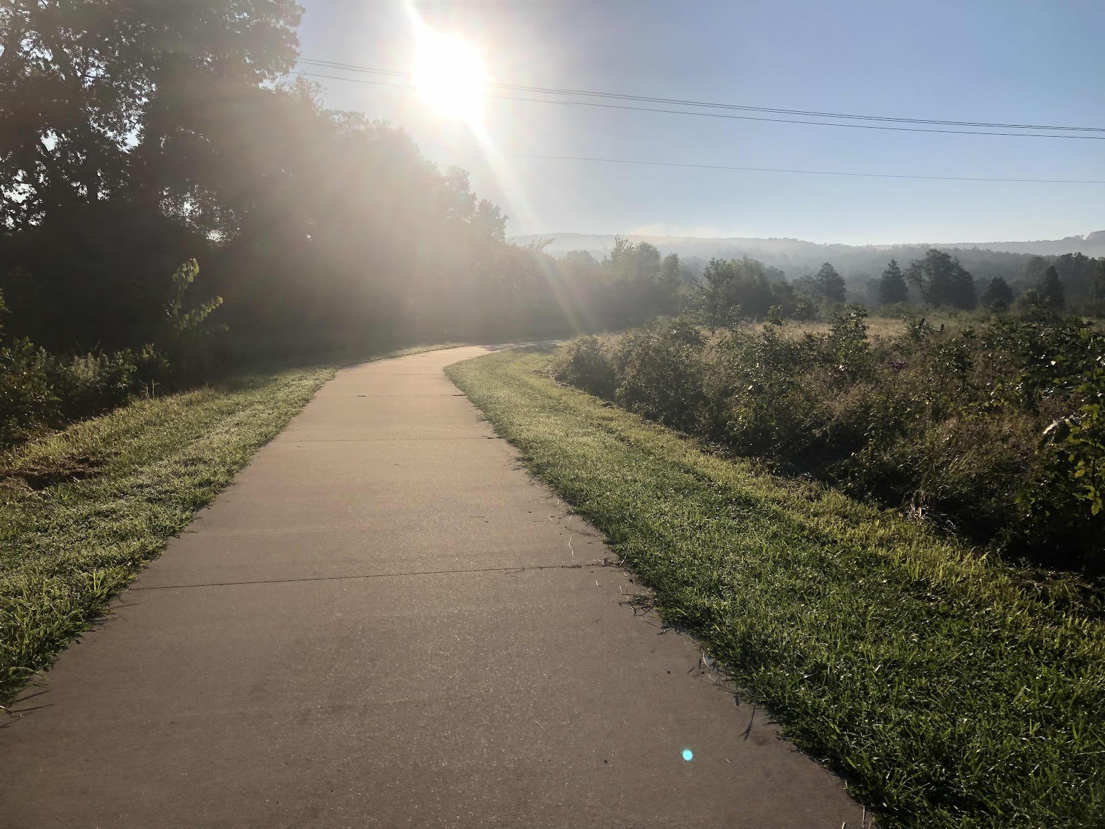
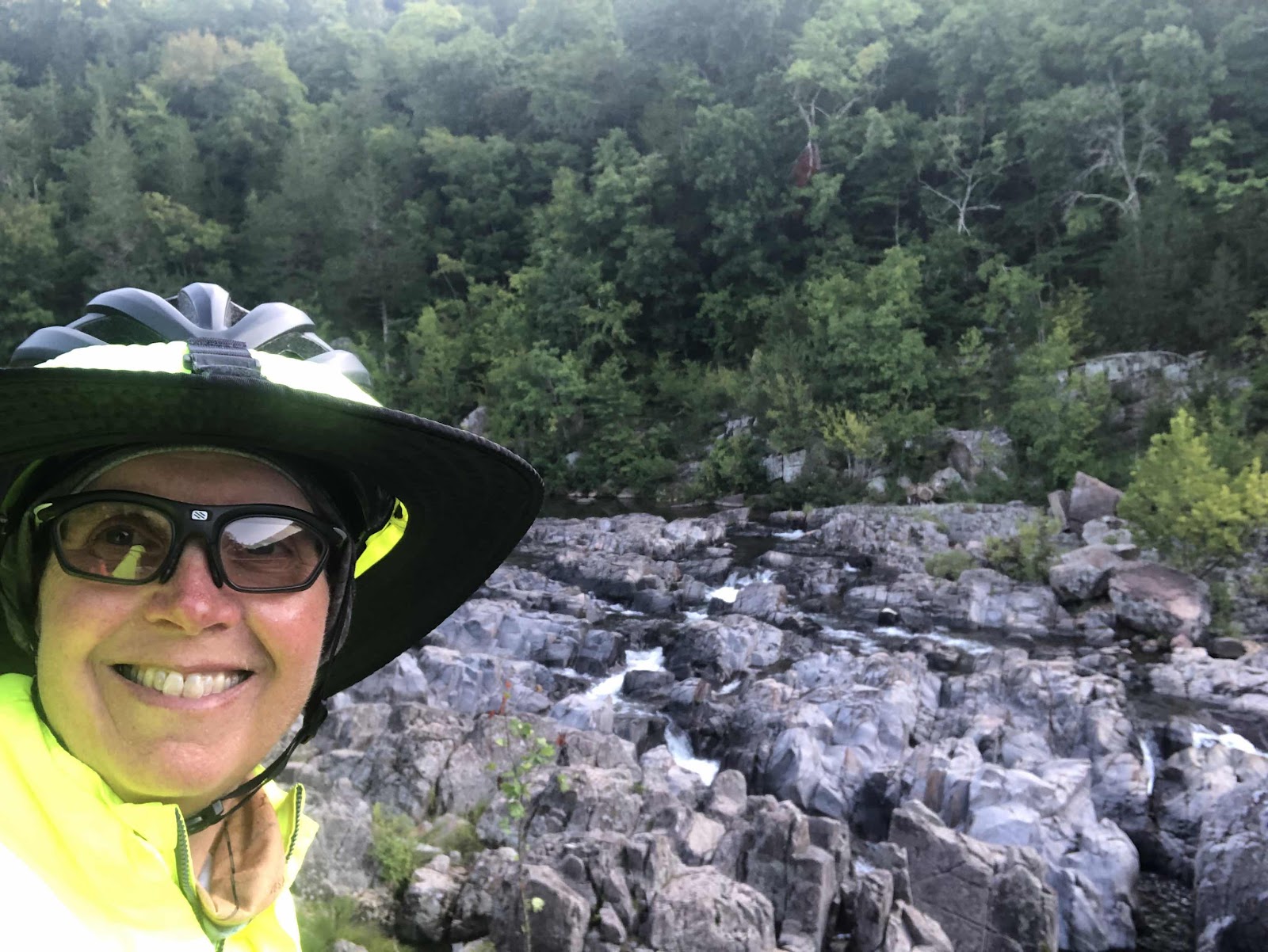
We actually slept in a little (okay, like a half an hour). We got going about an hour later than usual (no sunrise photo). The plan was to go see the Shut-Ins before we hit the road. We followed a paved path over to the Taum Sauk part of the state park.
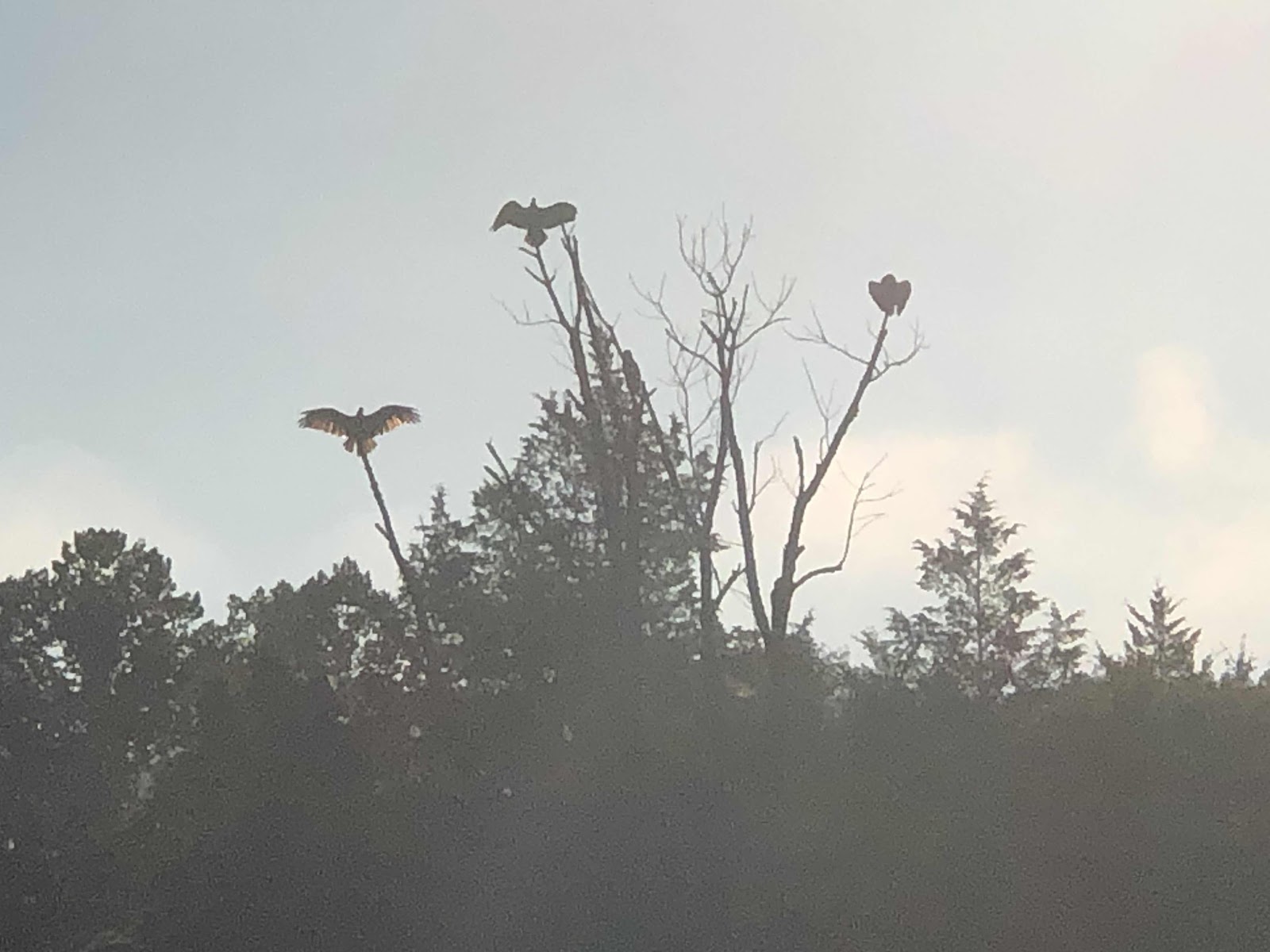
Buzzards drying their wings in the sun.
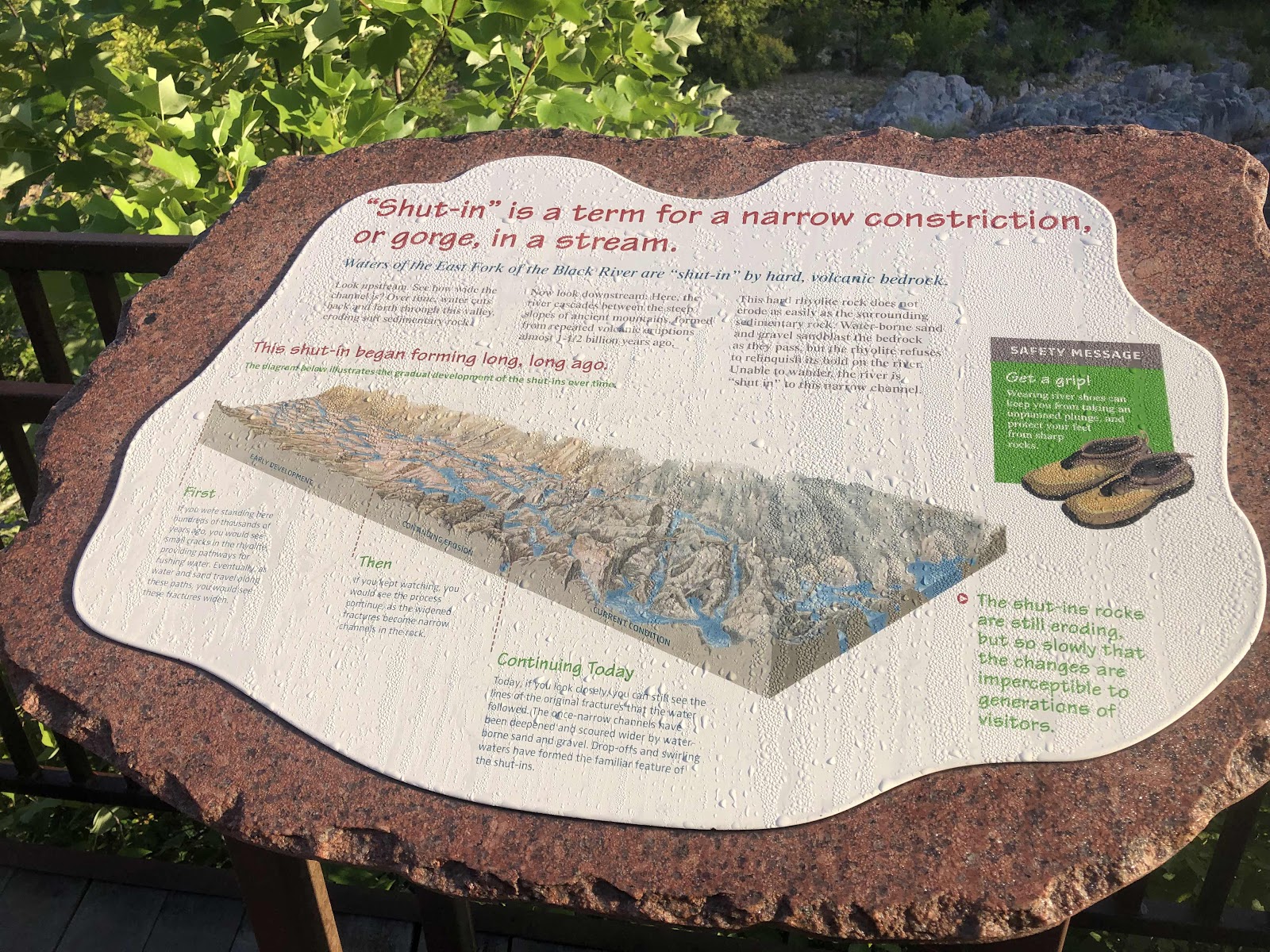
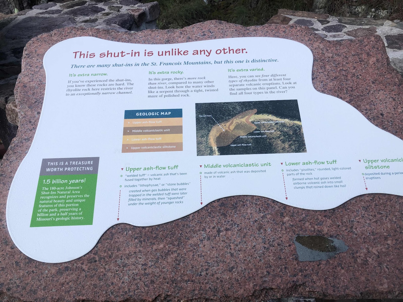
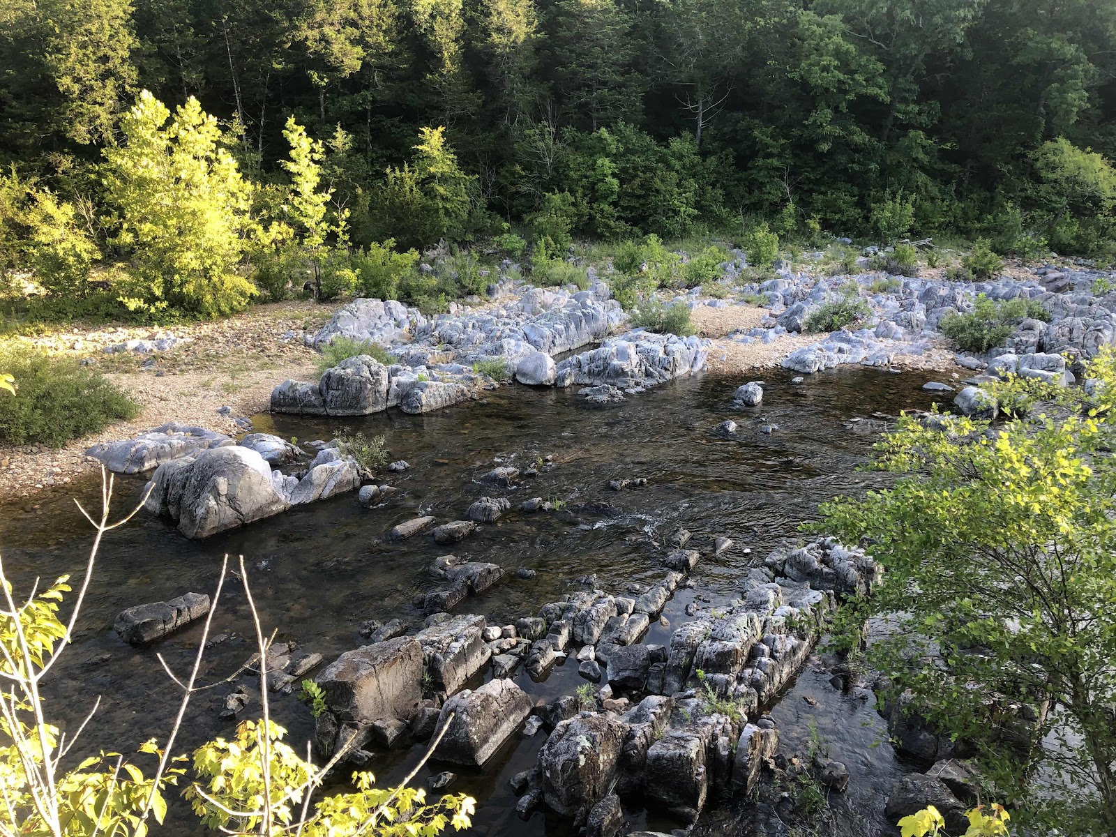
We saw numerous deer and rabbits along the way. We went under Hwy N, so I knew we wouldn’t have to go back to get back on the route. We came to a big parking lot of the Day Use area and followed another trail to the Shut-Ins.
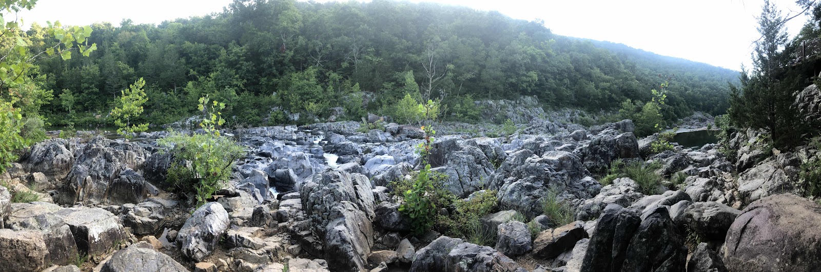
A pano of the boulders
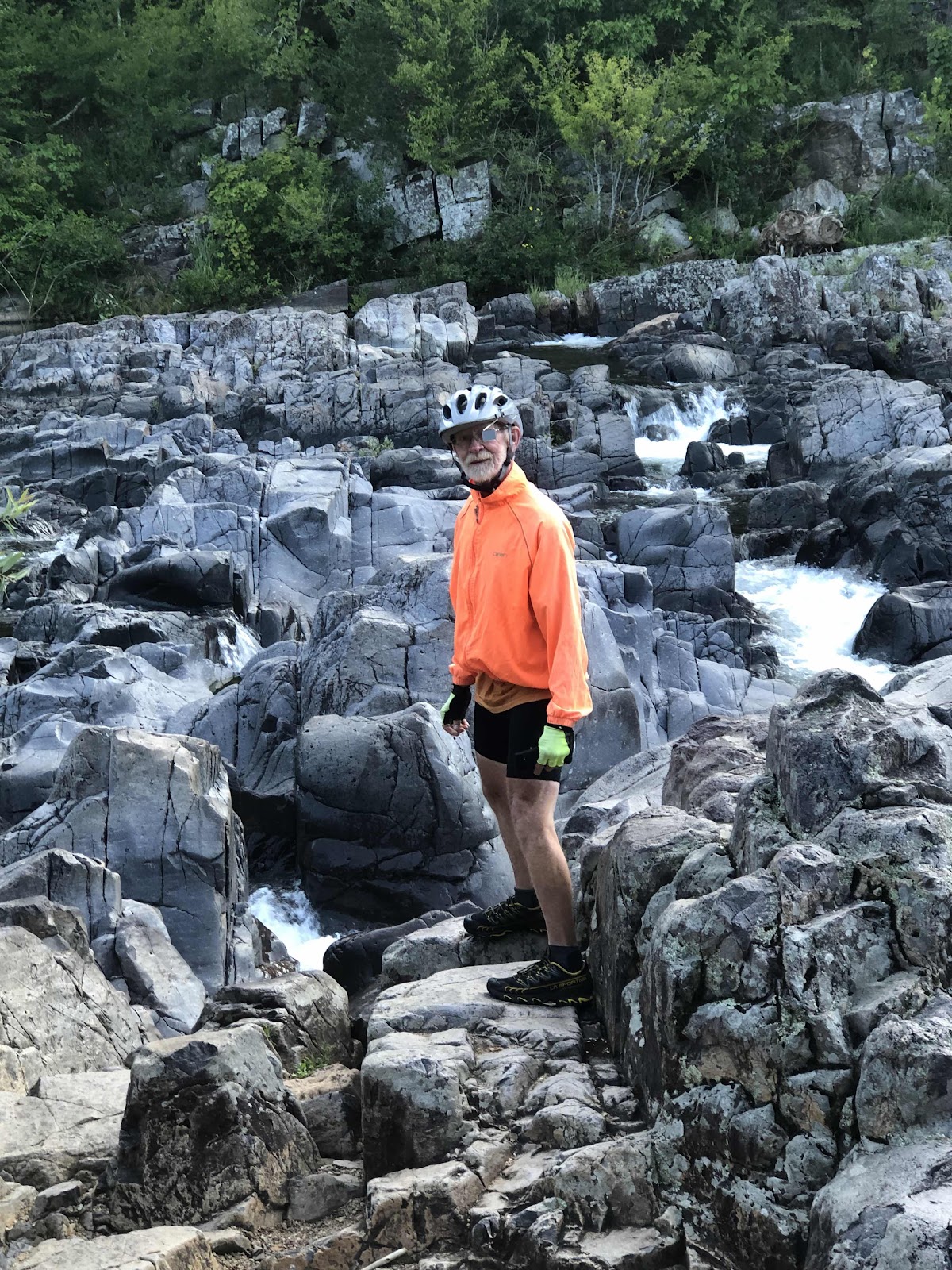
Doug on the rocks!
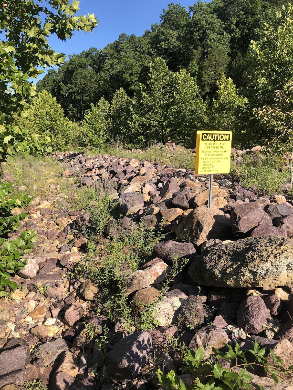
We rode back out to the Hwy, and onto the route. When we crossed the river, there was a sign for the Scour Trailhead parking. We turned in as I wanted to see how long the Scour Trail was. I had seen a couple of photos of the Scour, and it looked pretty cool. The trail was a 1.5 mile loop. We figured we would just go to the Scour Overlook, then come back.
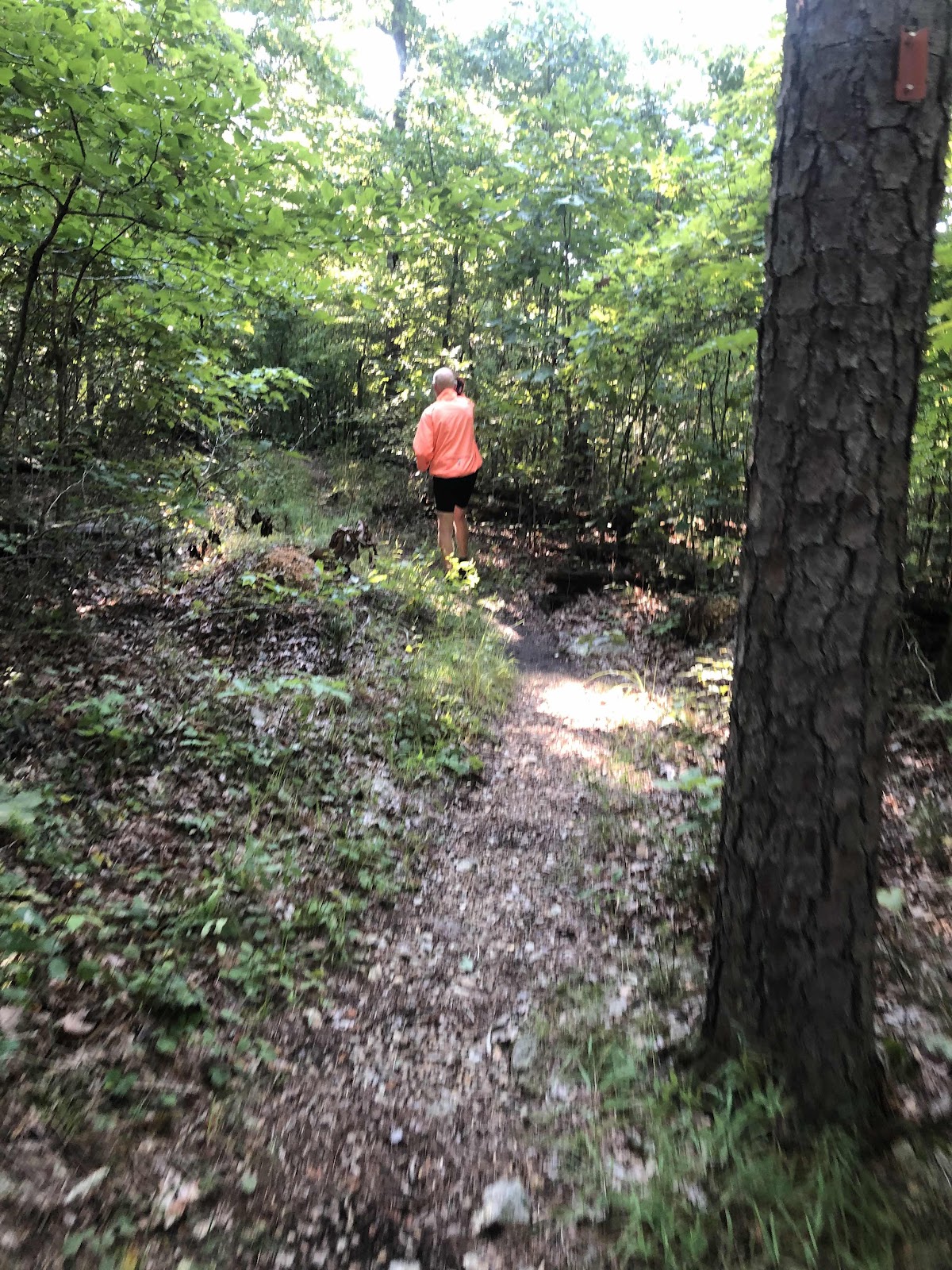
Going to the Overlook.
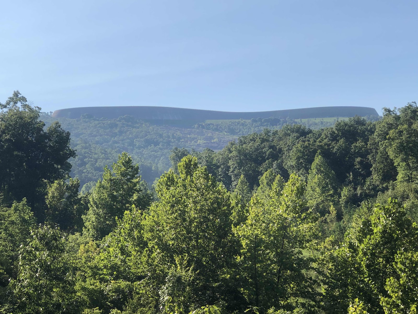
The Overlook. The big flat thing is the wall of the reservoir. The rocky swath near the middle of the wall is the beginning of the Scour. The flood that destroyed the old campground started when the reservoir wall had a breach.
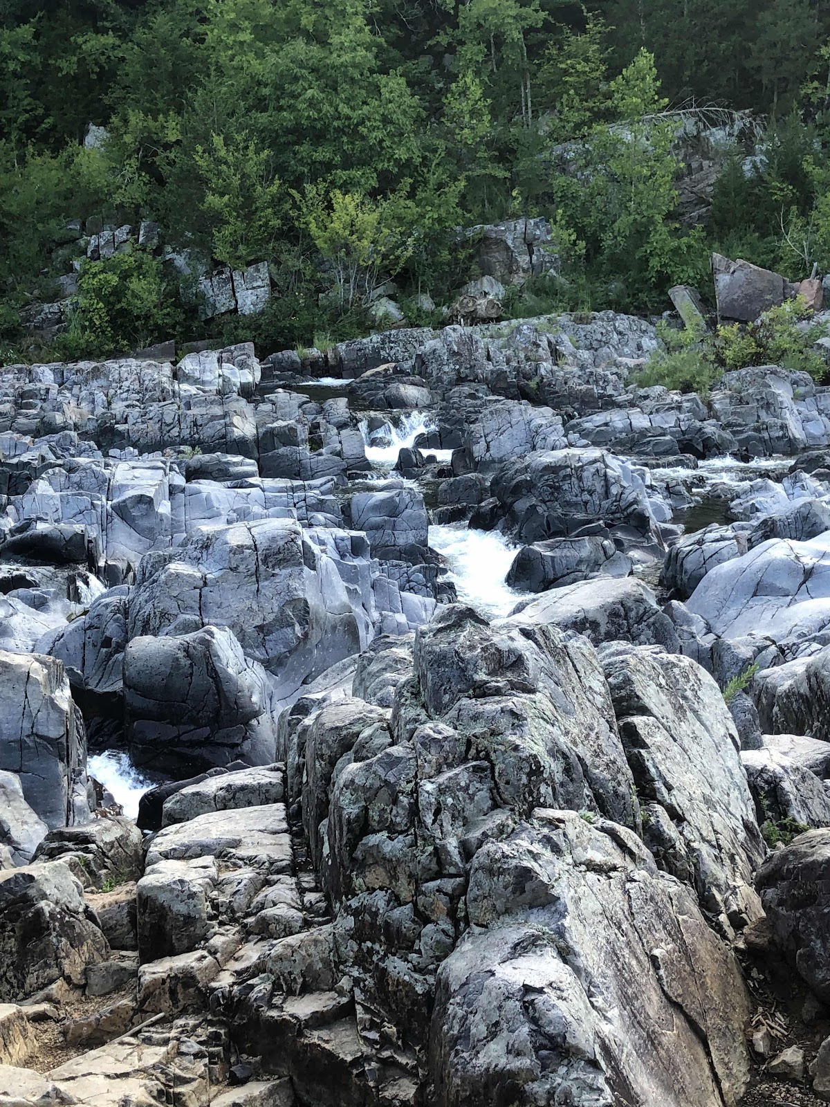
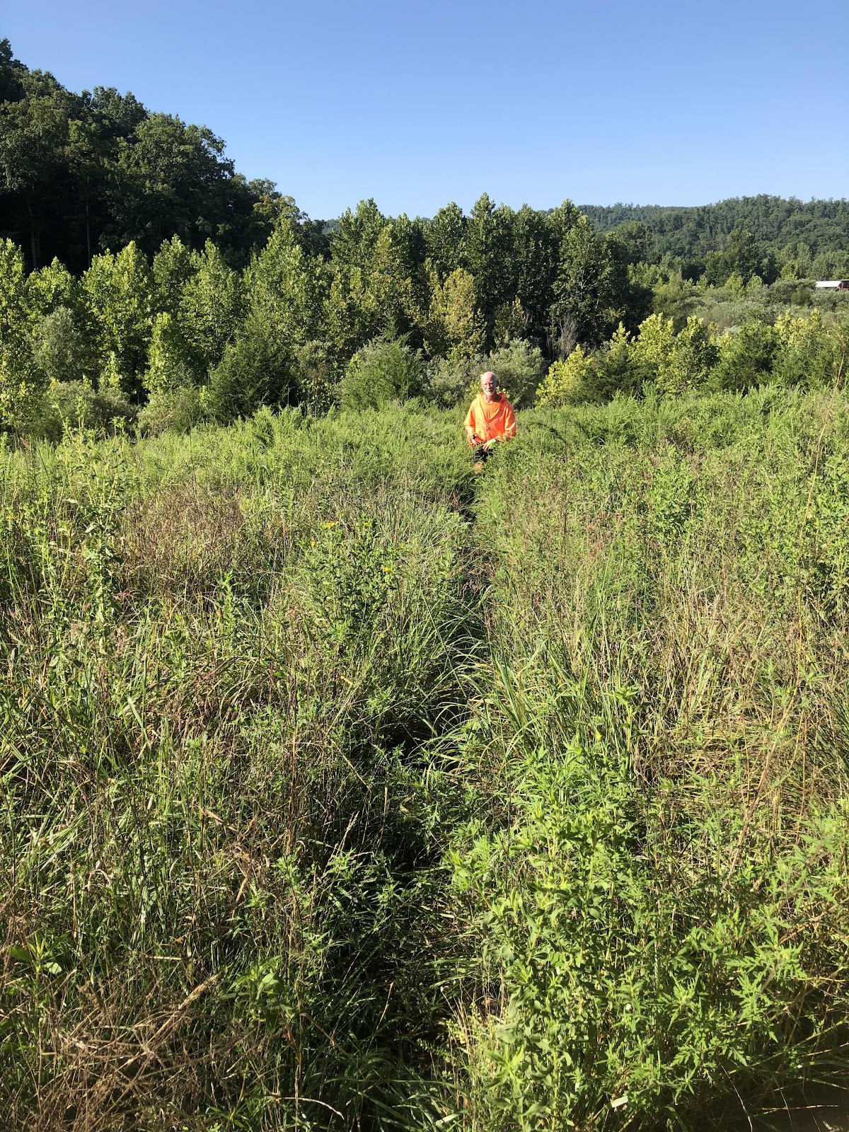
We still hadn’t come to the part I had seen in the photos, so we continued on the loop trail. We ended up walking along this.
Really awesome walking this in my bike shoes…NOT!

I finally gave up trying to keep my feet dry.
We came to a fork in the trail. We went right at first, but that ended at the creek. We went back, and went left, but that dead ended. I pulled up the trail on All Trails. Going right was the way to go. We went back. Ah…the trail went through the creek.


Good thing my feet were already wet.
The trail was pretty overgrown on the other side, but we could tell it was the trail.
At the Pavilion, we were back on good trail. We were moving along much faster when I tripped and did a belly flop/slide as if I was sliding into home plate. Mostly okay, but a little sore in the right shoulder and pectoral muscle. Nothing a little ibuprofen can’t help. Funny thing…I managed to do just fine on the rocks and through the water. Then I trip on the best part of the trail! Stupid me! I did get this nice mushroom photo.

We got back to the bikes, and finally out on the road. The road was kind of curvy, but mostly relatively flat. Actually, we were gradually climbing, but nothing like the last few days…mostly.
I was riding along when I spied a turtle trying to commit suicide. Never fear little turtle, I will rescue you! It’s a good thing I did, because a crap ton of traffic went by just after I picked it up off the road! It would have been a turtle road pizza for sure!
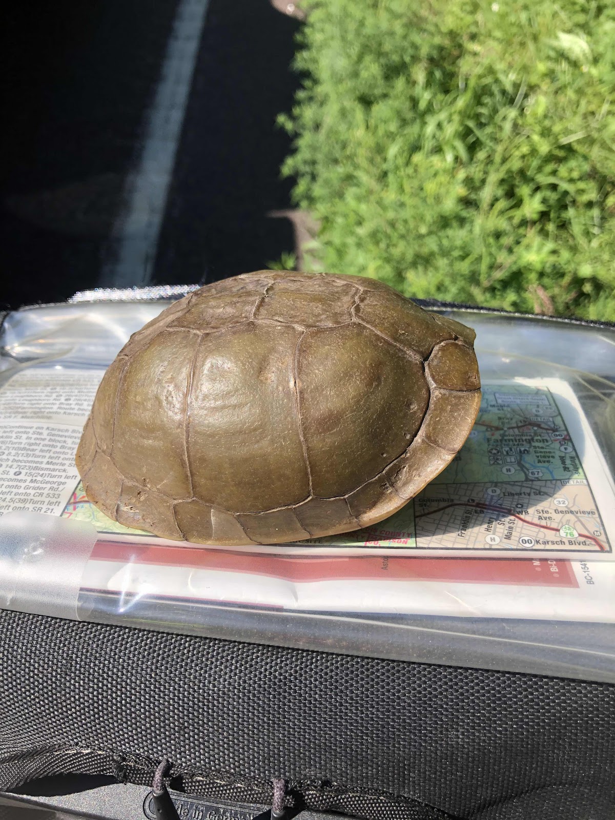
I couldn’t save the dogs yesterday, but I saved you, little turtle!
While I was Saving Private Turtle (after all, he/she didn’t come out of their shell), Doug continued on. We do this a lot. One of us gets ahead, the other eventually catches up, or the front one stops at some point.
I came to where we turned off the USBR 76 to stay on the Trans Am (just a short section that doesn’t use the same route). I didn’t see Doug. I figured he was ahead of me. I made the turn, then another to get onto a very quiet road. I still didn’t see Doug, but I had stopped to pee too. I kept going, not really expecting to catch him because he is generally faster when it’s flatter. We had talked about going to Carla’s Cafe in Bismarck. I figured I’d see him there. The route was really nice quiet lanes.
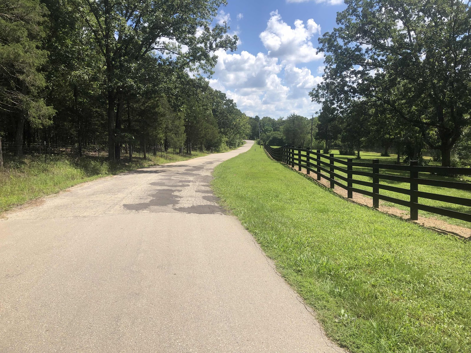
Virtually no traffic.
I pulled into Bismarck, and found Carla’s Cafe. Much to my surprise, no Doug. I texted him, asking where he was. When he answered, he said he was 5 miles out. I told him I thought he was ahead of me!
Anyway, he arrived about 45 minutes later. Where the route had left USBR 76, he had followed the USBR 76 signs instead of the route map. Plus, he had turned the wrong way too soon (the USBR signs will have a sign with a “L” shaped arrow indicating a turn is coming. Then at the turn, there will be a straight arrow in the direction you need to turn. Doug turned at the first sign. That’s where I must have passed him.). He went about a mile or so on the USBR route before realizing it was the wrong way. He could have stayed on that route, but he would have bypassed Bismarck. He also said it was a really busy road. Then, when he was back on the route, he missed another turn. But that one came out in his favor…less hills, and shorter (but more traffic).
After lunch, we wound our way out of Bismarck on more backroads. There was one really steep 13% grade hill, then it was pretty easy into Farmington.

Country roads, take me…to Farmington.
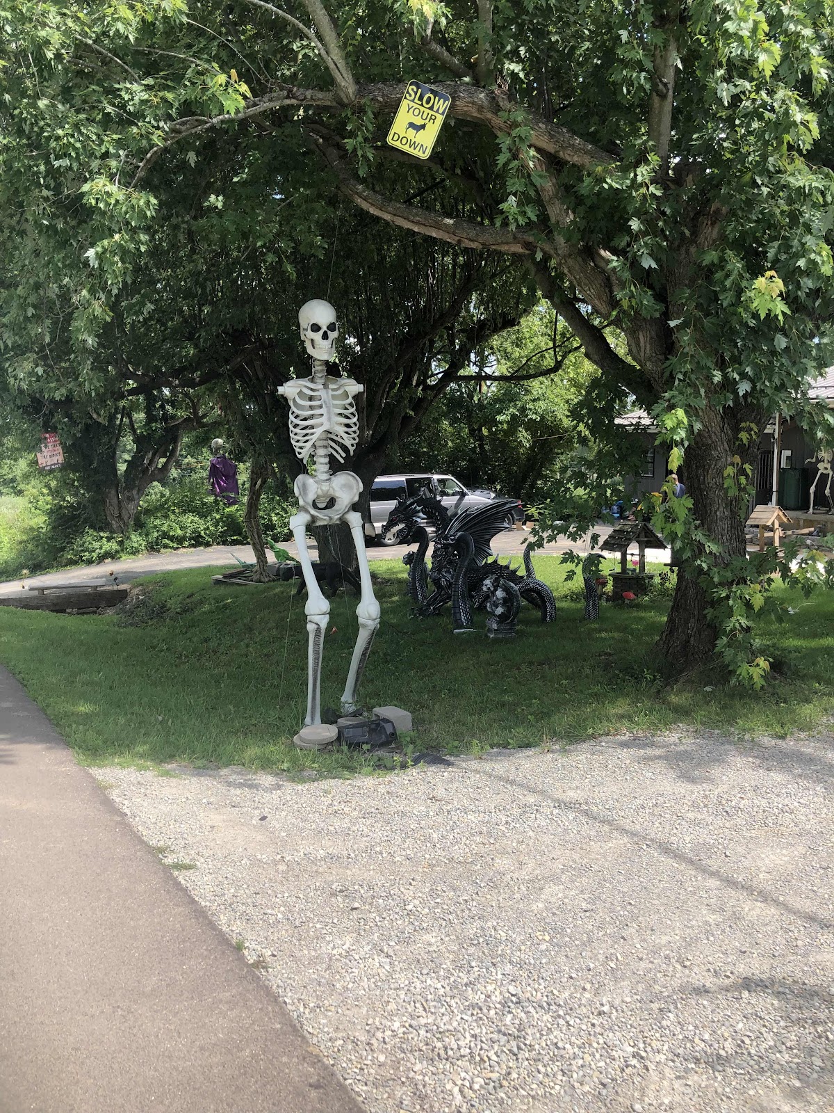
Well, okay, this was a bit odd.
In Farmington, there is a hostel for Trans Am cyclists called Al’s Place.

It’s on top of the old jail museum.
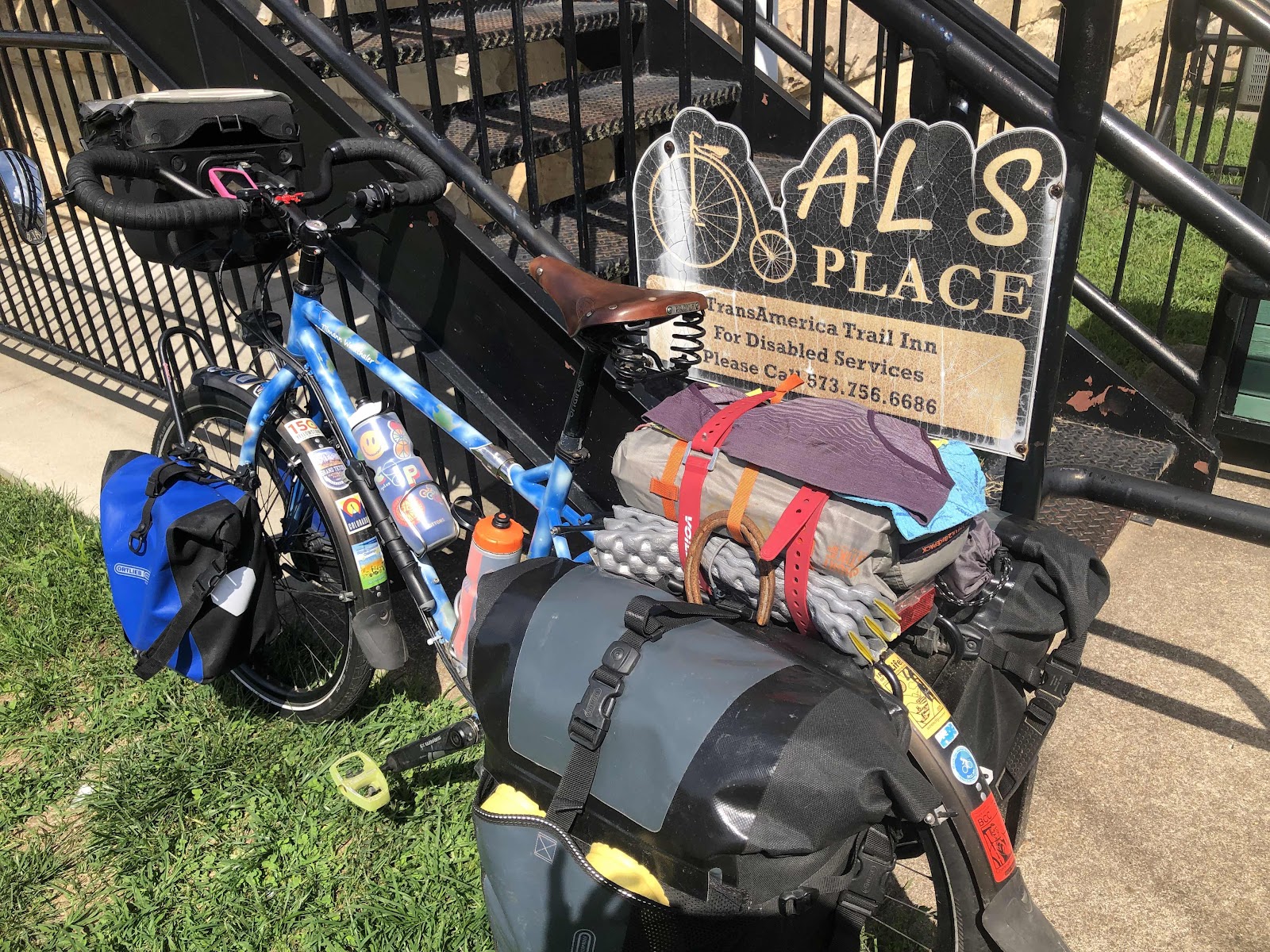
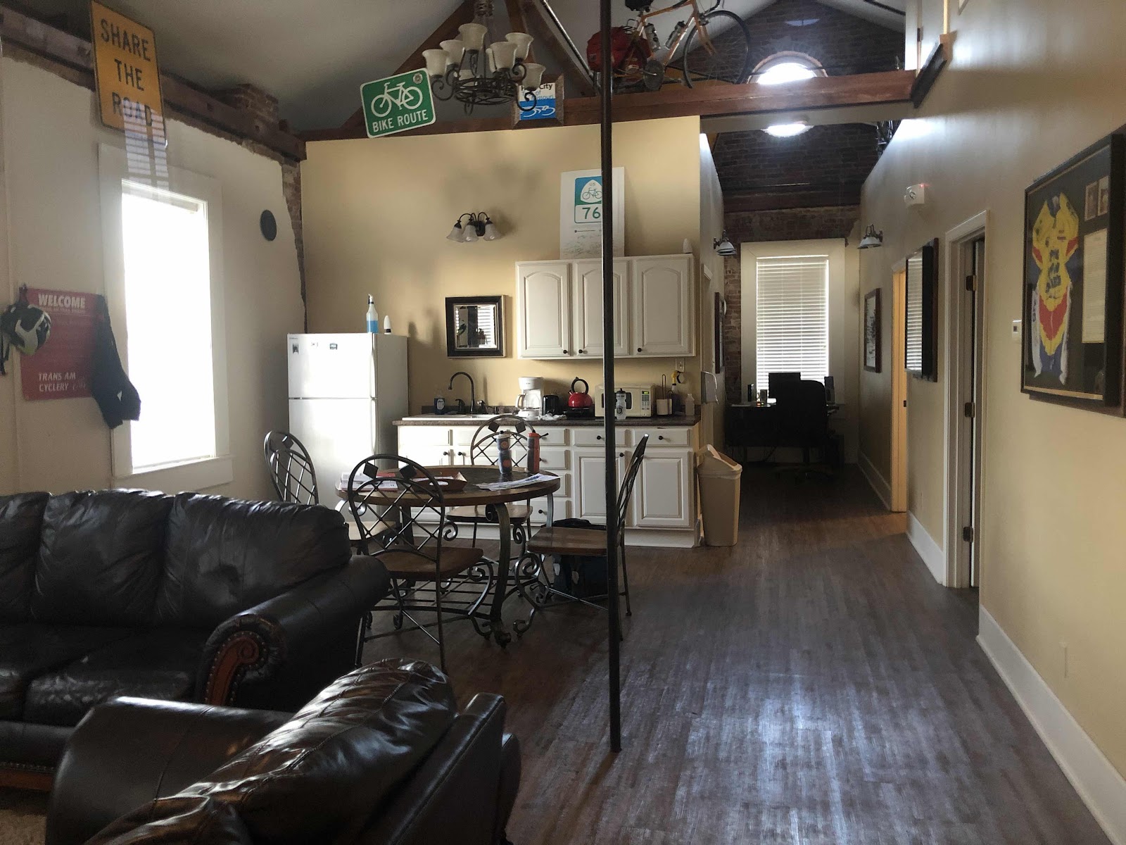
Pretty awesome! It’s named after an avid cyclist, Al Dziewa, who died in 2005 at the age of 49. The town opened this hostel, and named it after him. It’s runs on donations, and we had to call City Hall to get the code to the door. It has everything, including washer and dryer!
So, even though this was supposed to be a short day, it ended up being longer (although still only 42 miles). At least, if there had to be mishaps, it was good we weren’t doing a big mile day!
No comments:
Post a Comment